 Outdoor Pitstop
Walking guide Oost Gelre · Updated on 6 November 2026
The best walks in Oost Gelre
Oost Gelre has 29 walks on the Outdoor Pitstop map. The 10 best are 17.6 km long on average; 7 of them are circular walks. Along the way you'll find 288 benches and picnic tables, 9 water fountains and refill points and 2 public toilets in total.
i
i
The 10 best walks in Oost Gelre
The best walking route in Oost Gelre by our score is Schaddenpad, Rondje Korenburgerveen: 10.6 km, circular walk, start Oost Gelre, moderate.
In the order of our score: a photo, points of interest along the way, a toilet or water point, a circular walk, a description and how often people search for the route.
The numbers on the map are the routes below, at their starting point. Pitstops count up to 100 m from the route. Walking time assumes 4.5 km an hour plus 10 minutes per 100 m of ascent.
- 1
i
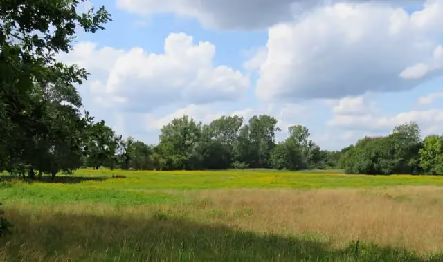
Photo: WeeJeeVee · Wikimedia Commons · CC BY-SA 4.0View the photo on Wikimedia CommonsSchadden Trail, Korenburgerveen circular walk
10.6 km · ± 2:20 h · ↗ 3 m · Circular walk · start Oost Gelre
0 public toilets0 water fountains and refill points10 benches and picnic tables
- 2
i
Photo: Hay Kranen · Wikimedia Commons · CC BY 4.0View the photo on Wikimedia CommonsEefsele wandeling
ModerateEefsele walk
12.4 km · ± 2:45 h · ↗ 9 m · Circular walk · start Oost Gelre
0 public toilets1 water point46 benches and picnic tables
- 3
Scholtenpad - 2
ModerateScholten Trail - 2
14.3 km · ± 3:10 h · ↗ 16 m · From A to B · start Aalten
0 public toilets0 water fountains and refill points12 benches and picnic tables
- 4
't Griezeveldpad
Moderate't Griezeveld Trail
13.7 km · ± 3:05 h · ↗ 19 m · Circular walk · start Oost Gelre
0 public toilets0 water fountains and refill points3 benches and picnic tables
- 5
The Besselingschans Walk
5.4 km · ± 1:15 h · ↗ 9 m · Circular walk · start Oost Gelre
0 public toilets0 water fountains and refill points0 benches and picnic tables
- 6
i
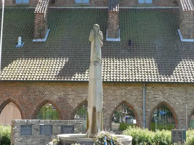
Photo: Emelha · Wikimedia Commons · CC BY-SA 3.0View the photo on Wikimedia CommonsLudgerpad
HardLudger Trail
88.3 km · ± 19:40 h · ↗ 35 m · From A to B · start Rhede
2 public toilets5 water fountains and refill points173 benches and picnic tables
- 7
i
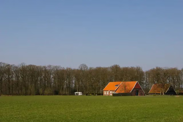
Photo: MartinD · Wikimedia Commons · CC BY-SA 3.0View the photo on Wikimedia CommonsScholtenpad - 3
ModerateScholten Trail - 3
12.6 km · ± 2:50 h · ↗ 13 m · From A to B · start Oost Gelre
0 public toilets0 water fountains and refill points8 benches and picnic tables
- 8
Erve Kots walk
6.7 km · ± 1:30 h · ↗ 6 m · Circular walk · start Oost Gelre
0 public toilets1 water point9 benches and picnic tables
- 9
The Baakse Beek Walk
5.9 km · ± 1:20 h · Circular walk · start Oost Gelre
0 public toilets1 water point11 benches and picnic tables
- 10
Ziewent Church Paths Walk
6.5 km · ± 1:25 h · Circular walk · start Oost Gelre
0 public toilets1 water point16 benches and picnic tables
All 23 walks from Oost Gelre, A to Z
- 't Griezeveldpad · 't Griezeveld Trail
- De Baakse Beek Wandeling · The Baakse Beek Walk
- De Besselingschans Wandeling · The Besselingschans Walk
- De Kuitenbijter Route A
- De Kuitenbijter Route B
- De Stegge Wandeling · The Stegge Walk
- De Tuute Wandeling · The Tuute Walk
- Eefsele wandeling · Eefsele walk
- Erve Kots wandeling · Erve Kots walk
- Groene Grenswandeling · Green Border Walk
- Koediekwandeling · Koediek walk
- Langs de Groenlose Slinge · Along the Groenlose Slinge
- Marhulzenwandeling · Marhulzen walk
- Marveld Blauw · Marveld Blue
- Marveld Groen · Marveld Green
- Molenwandeling · Mill walk
- Schaddenpad, Rondje Korenburgerveen · Schadden Trail, Korenburgerveen circular walk
- Scholtenpad - 03 · Scholten Trail - 3
- Veengootwandeling
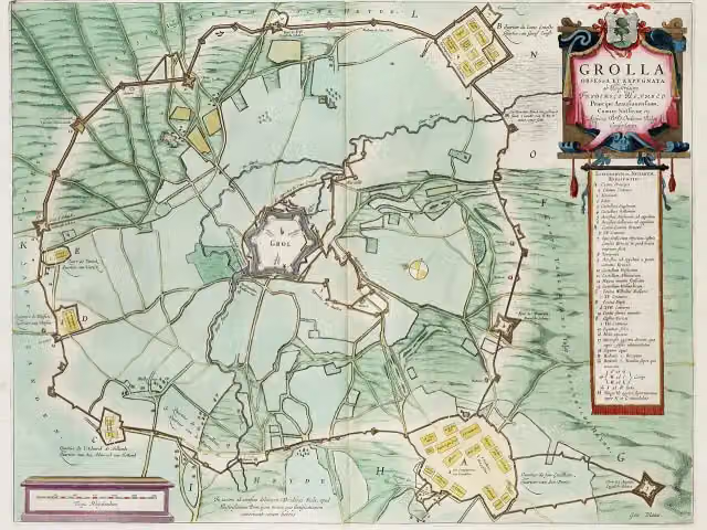
- Vestingwandeling · Fortress walk
- Vragenderveld Wandeling · Vragenderveld walk
- Ziewentse Kerkepaden Wandeling · Ziewent Church Paths Walk
- Zwolle bij Grolle
Long-distance paths through Oost Gelre
Walks of several days, in stages.
i
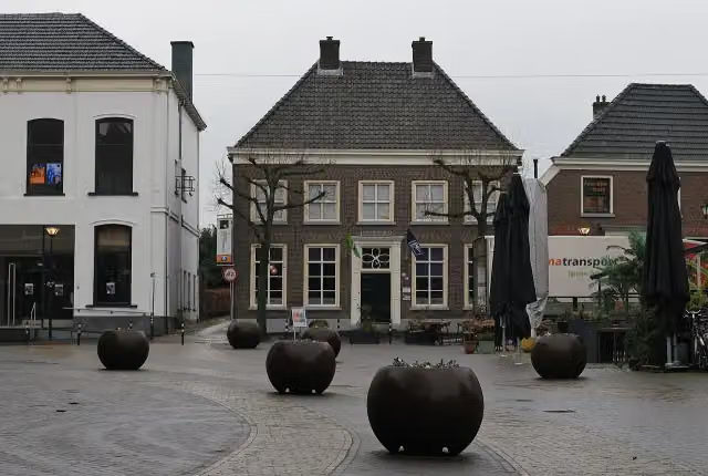
Photo: Ziko · Wikimedia Commons · CC BY-SA 4.0View the photo on Wikimedia Commons
Points of interest along the walks
Along the 10 best walks.
- Story
Engelse Schans
Archaeological site · along 3 walks
Nationaal Museum Tachtigjarige Oorlog
Museum · along 1 walk
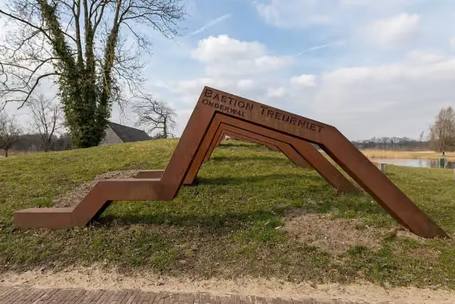
Bastion Treurniet
Ruins · along 1 walk
- Audio story · 2 min
i
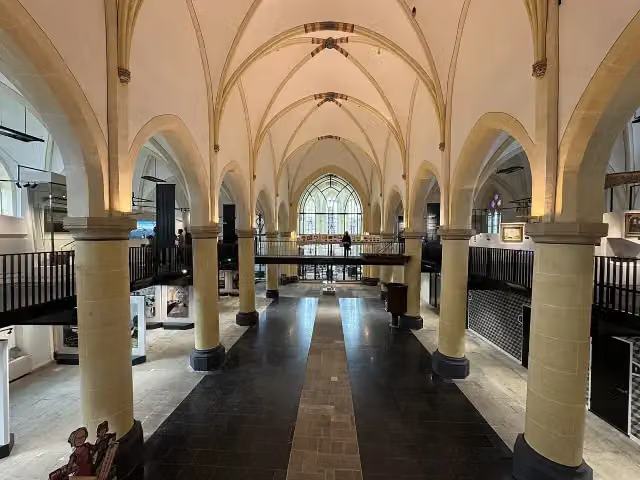
Photo: Ziko · Wikimedia Commons · CC BY-SA 4.0View the photo on Wikimedia CommonsNationaal Onderduikmuseum
Museum · along 1 walk
Gideon-monument
Memorial · along 1 walk
 Story
Museum · along 1 walk
Observation tower · along 3 walks
Observation tower · along 1 walk
Walks per place in Gelderland
49 places have their own guide.
- Aalten51 ›
- Apeldoorn73 ›
- Arnhem44 ›
- Barneveld32 ›
- Berg en Dal64 ›
- Berkelland65 ›
- Bronckhorst82 ›
- Brummen34 ›
- Buren32 ›
- Culemborg13 ›
- Doesburg7 ›
- Doetinchem32 ›
- Druten11 ›
- Duiven20 ›
- Ede52 ›
- Elburg15 ›
- Epe19 ›
- Ermelo31 ›
- Harderwijk15 ›
- Hattem15 ›
- Heerde19 ›
- Heumen34 ›
- Lingewaard49 ›
- Lochem80 ›
- Maasdriel28 ›
- Montferland41 ›
- Neder-Betuwe28 ›
- Nijkerk25 ›
- Nijmegen53 ›
- Nunspeet31 ›
- Oldebroek21 ›
- Oude IJsselstreek49 ›
- Overbetuwe49 ›
- Putten33 ›
- Renkum46 ›
- Rheden23 ›
- Rozendaal8 ›
- Scherpenzeel7 ›
- Tiel19 ›
- Voorst27 ›
- Wageningen27 ›
- West Betuwe53 ›
- West Maas en Waal17 ›
- Westervoort7 ›
- Wijchen16 ›
- Winterswijk59 ›
- Zaltbommel27 ›
- Zevenaar21 ›
- Zutphen26 ›
Explore further
Frequently asked questions
How many walks are there in Oost Gelre?
The Outdoor Pitstop map has 29 walks in Oost Gelre, including 1 long-distance path in stages.
What is the best walk in Oost Gelre?
At the top of this guide is Schaddenpad, Rondje Korenburgerveen (10.6 km, moderate). Next come Eefsele wandeling and Scholtenpad - 2.
Are there circular walks in Oost Gelre?
Yes, for example Schaddenpad, Rondje Korenburgerveen, Eefsele wandeling and 't Griezeveldpad.
Which walks in Oost Gelre have a toilet along the way?
In this guide, Ludgerpad have a public toilet along the route.
Which long-distance paths run through Oost Gelre?
Among others Scholtenpad run through this area.
Popular nearby
Guides of places nearby





