 Outdoor Pitstop
Walking route · 's-Hertogenbosch · Maarten van Rossum Trail - Main route · Updated on 6 November 2026
Maarten van Rossumpad - Hoofdroute walk
Maarten van Rossumpad - Hoofdroute is a walk of 387.1 km from 's-Hertogenbosch. Along the way you'll find 761 benches and picnic tables, 13 water fountains and refill points, 17 public toilets and 1 bike pump.
i
i
The route step by step
From start to finish, with what you pass along the way and the distance in between.
- 387.1 km
- ± 3:40 h per stage
- ↑ 893 m · ↓ 884 m
- Moderate per stage
- From A to B
- National route
Start in 's-Hertogenbosch
0 kmAt the start: public toilet and water point.
909 m · 31 benches

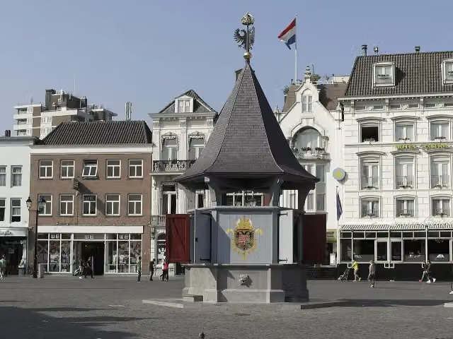
Puthuis
909 mWater point
376 m
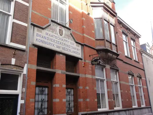
Museum Slager
1.3 kmWater point
354 m
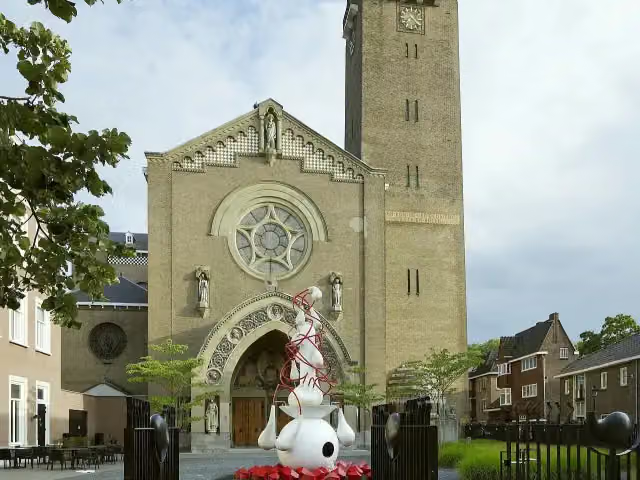
Het Oeteldonks Gemintemuzejum and 1 more
1.6 kmJheronimus Bosch Art Center
593 m · 3 benches
Water point
2.2 km3.3 km · 26 benches
Fort Orthen
5.5 kmFort
3.9 km · 5 benches
Engeler Schans
9.4 kmArchaeological site
13.5 km · 13 benches
Museum Hertogsgemaal and 1 more
22.9 kmMuseumgemaal Caners
16.5 km · 21 benches
uitkijktoren
39.4 kmObservation tower
3 km · 23 benches
Vesting Zaltbommel
42.4 kmCastle
475 m
Maarten van Rossumhuis and 1 more
42.9 kmStadskasteel
3.8 km · 7 benches
Public toilet
46.7 km803 m · bench
Kasteel Waardenburg
47.5 kmCastle
1.3 km
Kasteel Neerijnen
48.8 kmCastle
28.7 km · 12 benches
2 water fountains and refill points
77.5 km186 m
Buren en Oranje
77.7 kmMuseum
41.6 km · 32 benches
Public toilet
119.2 km1.1 km
Public toilet
120.3 km19.5 km · 54 benches
Airborne monument
139.8 kmMemorial
4.4 km · 7 benches
Uitkijktoren Boersberg
144.2 kmObservation tower
946 m · bench
Kasteel Doorwerth
145.1 km2 public toilets
2.4 km · 15 benches
Hunneschans
147.5 kmArchaeological site · Audio story · 1 min
2.4 km · 17 benches
Airbornemonument
149.9 kmMemorial
2.7 km · 2 benches
Kasteel Rosande
152.6 kmRuins
5.4 km · 28 benches
Museum Arnhem and 1 more
158 kmBuitensocieteit Arnhem
1.5 km · 11 benches
Joods monument
159.5 kmPublic toilet and water point
2 km · 50 benches
Water point
161.5 km166 m
Nederland Watermuseum
161.7 kmMuseum
274 m · 5 benches
Water point
161.9 km5.8 km · 32 benches
Kapellenberg
167.7 kmViewpoint
Show the other 18 steps
10 km · 46 benches
Posbank
177.7 kmPublic toilet, water point and bike pump
28 km · 19 benches
Verzetsmonument Beekbergen
205.7 kmMemorial
5.3 km · 13 benches
Het Bisschopsbergje
211.1 kmArchaeological site
11.5 km · 7 benches
30 april 2009 and 2 more
222.5 kmMan With Two Hats and De Naald
405 m · 4 benches
2 public toilets
222.9 km340 m
Paleis het Loo
223.2 kmPublic toilet
8.2 km · 5 benches
Public toilet
231.5 km1.7 km · 14 benches
Kasteel Cannenburch
233.2 kmMuseum · Audio story · 2 min
18.1 km · 38 benches
Observation tower
251.3 kmWater point
13.2 km · 15 benches
Water point
264.5 km1.6 km
Public toilet
266.1 km813 m · 14 benches
Bakkerijmuseum
266.9 kmMuseum
24.7 km · 20 benches
Public toilet
291.6 km23.3 km · 31 benches
Nationaal Tinnen Figuren Museum
314.8 kmMuseum
17.3 km · 25 benches
Ommerschans
332.1 kmArchaeological site
44.5 km · 57 benches
Hunebed D54 Havelterberg
376.6 kmArchaeological site · Audio story · 2 min
9.8 km · 43 benches
Public toilet
386.5 km679 m · 6 benches
Finish
387.1 kmAt the finish: 2 public toilets and water point.
Longest stretch without a toilet: 94.9 kmBetween 291.6 km and 386.5 km there is no public toilet within 100 m of the route.
The route with the water points, toilets and sights within 100 m of it.
39 sights along the way
In the order you pass them. With the Outdoor Pitstop app you hear their story on the spot. 31 more along the route are on the map.
Puthuis
Attraction · after 909 m
- Story
Museum Slager
Museum · after 1.4 km
Het Oeteldonks Gemintemuzejum
Museum · after 1.6 km
 Audio story · 2 min
i
Photo: Paul van Galen · Wikimedia Commons · CC BY-SA 4.0View the photo on Wikimedia CommonsJheronimus Bosch Art Center
Museum · after 1.8 km
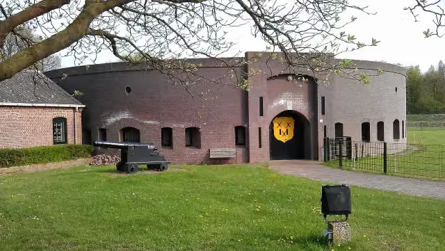 Story
i
Photo: User:Christian.van.der.ven · Wikimedia Commons · CC BY-SA 3.0View the photo on Wikimedia CommonsFort Orthen
Fort · after 5.5 km
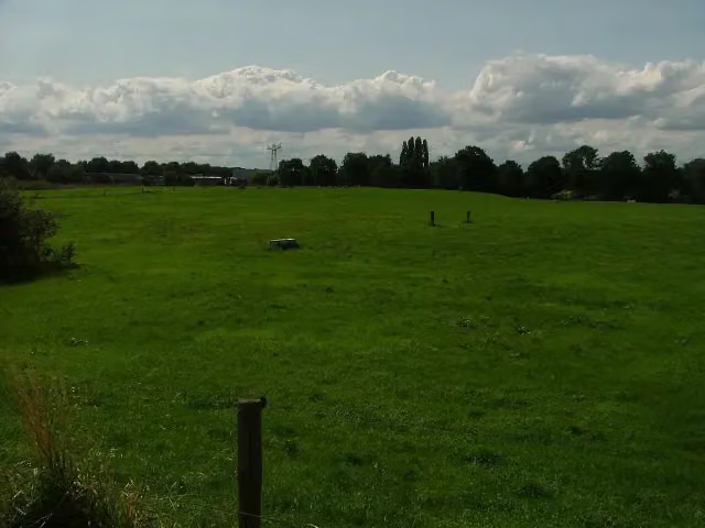 Story
Engeler Schans
Archaeological site · after 9.4 km
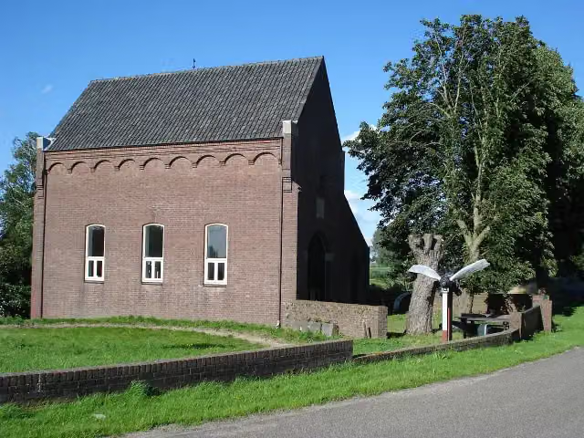 Story
Museum Hertogsgemaal
Museum · after 22.9 km
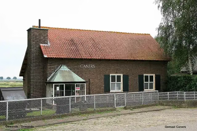
i
Photo: John Scholte · Wikimedia Commons · CC BY-SA 3.0 nlView the photo on Wikimedia CommonsMuseum · after 22.9 km
Stages (24)
- 1Maarten van Rossumpad - 1Maarten van Rossum Trail - 117.6 km
- 2Maarten van Rossumpad - 2Maarten van Rossum Trail - 215.9 km
- 3Maarten van Rossumpad - 3Maarten van Rossum Trail - 39.5 km
- 4Maarten van Rossumpad - 4Maarten van Rossum Trail - 418.9 km
- 5Maarten van Rossumpad - 5Maarten van Rossum Trail - 515.7 km
- 6Maarten van Rossumpad - 6Maarten van Rossum Trail - 616.6 km
- 7Maarten van Rossumpad - 7Maarten van Rossum Trail - 717 km
- 8Maarten van Rossumpad - 8Maarten van Rossum Trail - 815.5 km
- 9Maarten van Rossumpad - 9Maarten van Rossum Trail - 913.3 km
- 10Maarten van Rossumpad - 10Maarten van Rossum Trail - 1014.2 km
- 11Maarten van Rossumpad - 11Maarten van Rossum Trail - 1115.6 km
- 12Maarten van Rossumpad - 12Maarten van Rossum Trail - 1219.4 km
- 13Maarten van Rossumpad - 13Maarten van Rossum Trail - 1316.8 km
- 14Maarten van Rossumpad - 14Maarten van Rossum Trail - 1414.3 km
- 15Maarten van Rossumpad - 15Maarten van Rossum Trail - 1512.9 km
- 16Maarten van Rossumpad - 16Maarten van Rossum Trail - 1623 km
- 17Maarten van Rossumpad - 17Maarten van Rossum Trail - 1712.1 km
- 18Maarten van Rossumpad - 18Maarten van Rossum Trail - 189.4 km
- 19Maarten van Rossumpad - 19Maarten van Rossum Trail - 1918.6 km
- 20Maarten van Rossumpad - 20Maarten van Rossum Trail - 2017.8 km
- 21Maarten van Rossumpad - 21Maarten van Rossum Trail - 2117.1 km
- 22Maarten van Rossumpad - 22Maarten van Rossum Trail - 2221.2 km
- 23Maarten van Rossumpad - 23Maarten van Rossum Trail - 2318.3 km
- 24Maarten van Rossumpad - 24Maarten van Rossum Trail - 2416.7 km
Elevation and terrain
- Up
- ↑ 893 m
- Down
- ↓ 884 m
- Highest point
- 91 m
- Lowest point
- 0 m
- 5-10% slope · 2.7 km
- 20 stairs
Elevation from AHN (Rijkswaterstaat), smoothed.
Way types
387.1 km in total- Road: 130.1 km
- Track: 89.9 km
- Path: 74.3 km
- Cycleway: 39.7 km
- Street: 26.3 km
- Footpath: 23.3 km
- Stairs: 20 stairs
- Busy road: 175 m
- Unknown: 409 m
Surfaces
387.1 km in total- Asphalt: 130.4 km
- Paved: 45.6 km
- Gravel: 38.2 km
- Natural: 34.9 km
- Unpaved: 33.5 km
- Unknown: 102.8 km
About the walking route Maarten van Rossumpad - Hoofdroute
Updated on 6 November 2026, with data from OpenStreetMap and the AHN.
Where do you walk?
Maarten van Rossumpad - Hoofdroute is a walking route of 387.1 km that starts in 's-Hertogenbosch. It does not end where it starts. You start in Den Bosch and finish in Steenwijk. Along the way you pass Puthuis (after 909 m), Museum Slager (after 1.4 km) and Het Oeteldonks Gemintemuzejum (after 1.6 km).
How hard is the route?
You climb 893 m in total and descend 884 m. There are 20 flights of steps along the way. Allow ± 3:40 h per stage, without breaks. Per stage the level is moderate.
What paths do you walk on?
The longest part is road (130.1 km), track (89.9 km) and path (74.3 km). Of the surface, 130.4 km asphalt and 45.6 km paved. For 102.8 km the surface is not known.
Pitstops along the way
Within 100 metres of the route there are 761 benches and picnic tables, 13 water fountains and refill points, 17 public toilets and 1 bike pump. The longest stretch without a toilet is 94.9 km. The Outdoor Pitstop app navigates you there.
Part of Maarten van Rossumpad - Alle varianten (Maarten van Rossum Trail)
Website of the routeWalks nearby
6- Rondom de Sint Jan - 1Easy · From A to B7 km
- Pelgrimspad 1 - 12Moderate · From A to B12.1 km
- Pelgrimspad 2 - 1Moderate · From A to B19 km
- Dwars door Brabant - 8Moderate · From A to B9.9 km
- Dwars door Brabant - 9Hard · From A to B20.6 km
- Het Groene Woud Pad - 13 - Helvoirt - 's-HertogenboschModerate · From A to B17.8 km
Sights nearby
Within 10 km of the route, best known first.
- 1
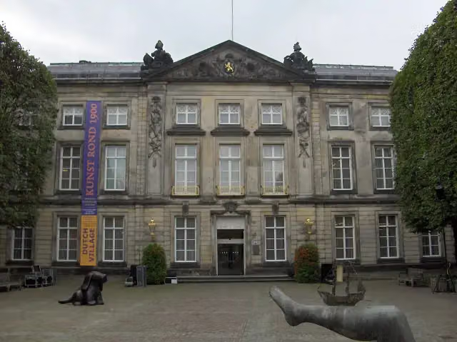 Het Noordbrabants MuseumMuseum · 155 m from the route
- 2
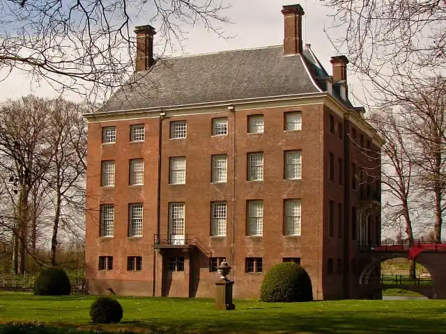 Kasteel AmerongenCastle · 1.6 km from the route
- 3
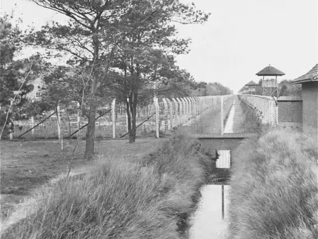 Concentration Camp MuseumMuseum · 3.7 km from the route
- 4
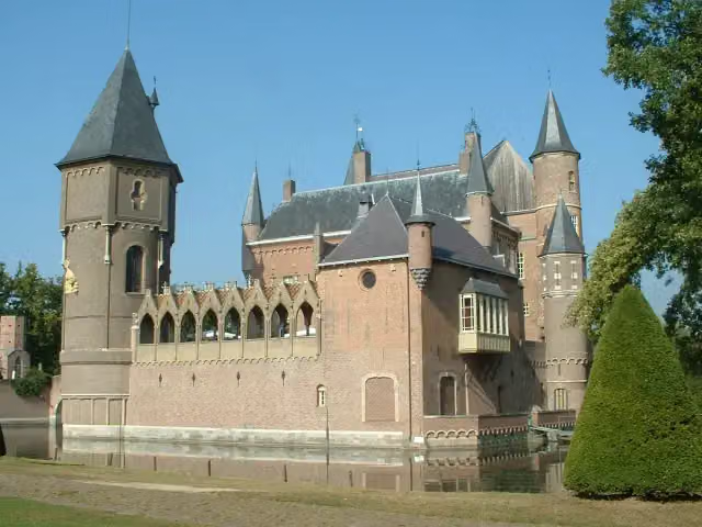 Kasteel HeeswijkCastle · 9.4 km from the route
- 5
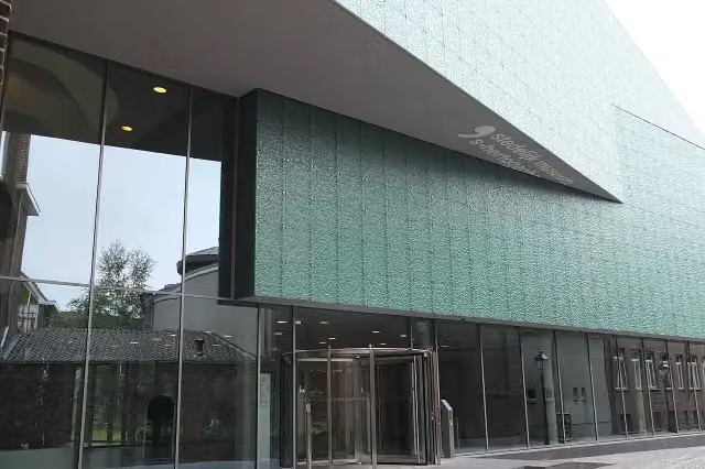 Design Museum Den BoschMuseum · 240 m from the route
- 6
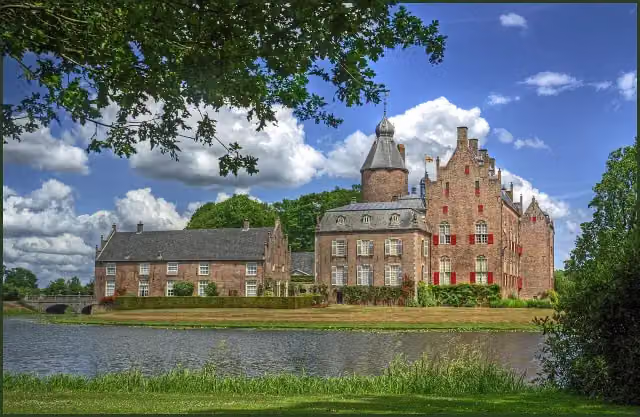 Kasteel RechterenCastle · 324 m from the route
- 7
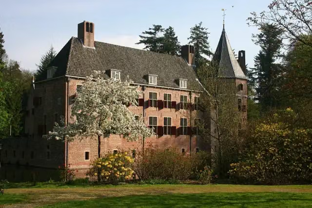 Kasteel Het Oude LooCastle · 338 m from the route
- 8
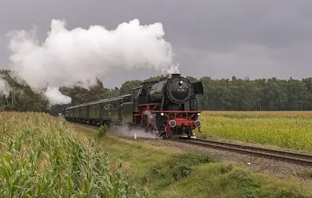 Veluwsche Stoomtrein MaatschappijMuseum · 747 m from the route
- 9
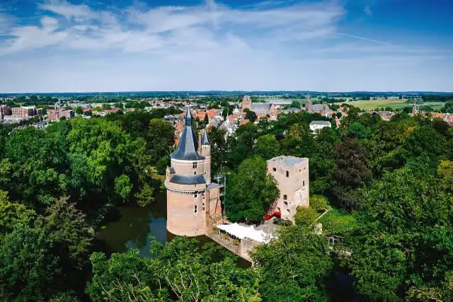 Duurstede CastleCastle · 1.3 km from the route
- 10
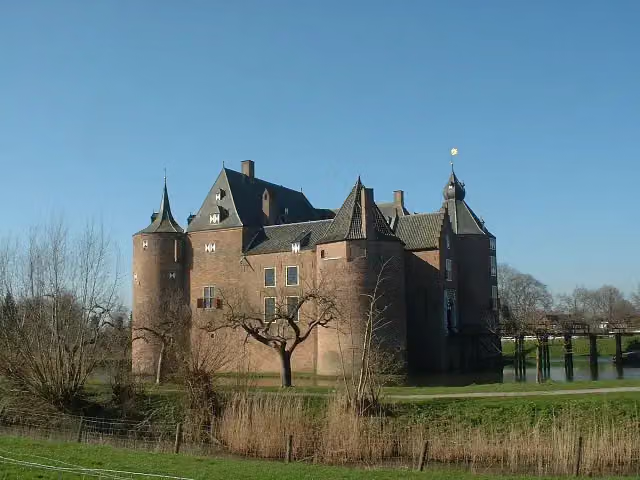 Ammersoyen CastleAttraction · 3.1 km from the route
- 11
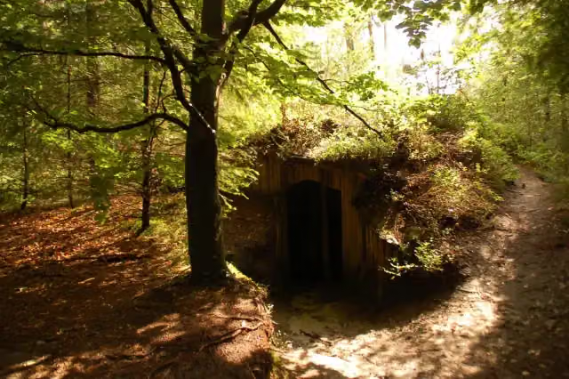 Het Verscholen DorpAttraction · 3.8 km from the route
- 12
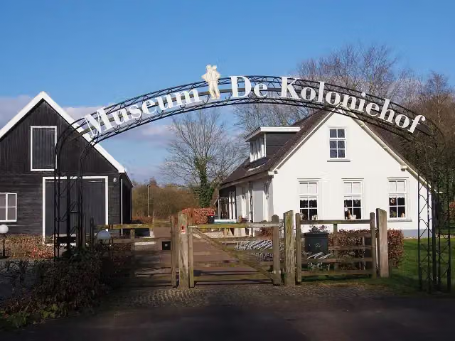 Museum De ProefkolonieMuseum · 5.6 km from the route
- 13
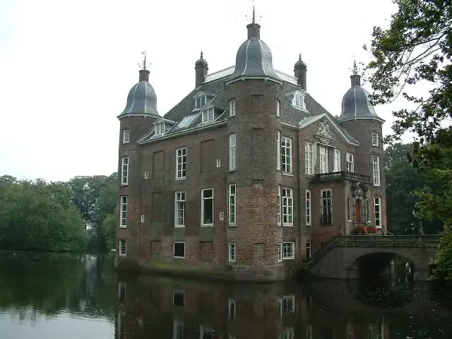 Kasteel BiljoenCastle · 1.2 km from the route
- 14
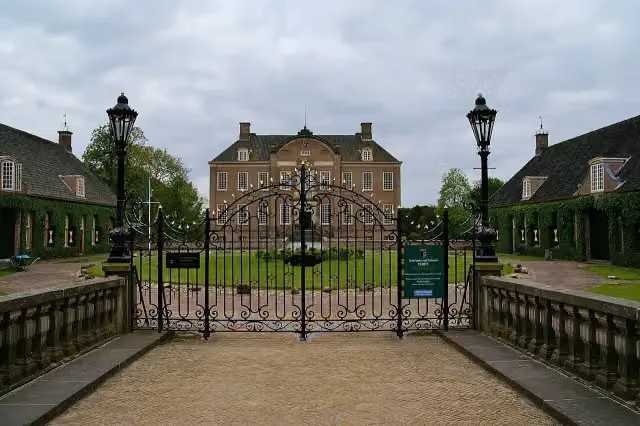 Kasteel EerdeCastle · 4 km from the route
- 15
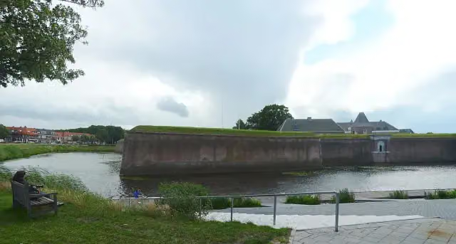 Citadel of 's-HertogenboschCastle · 590 m from the route
- 16
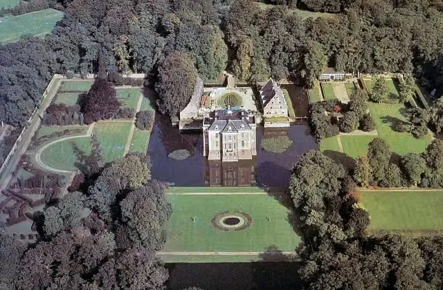 Kasteel MiddachtenCastle · 2.8 km from the route
- 17
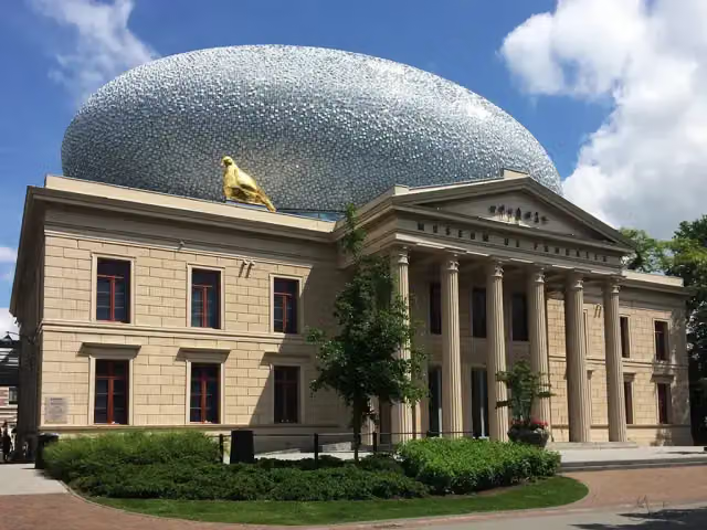 Museum de Fundatie / Paleis aan de BlijmarktMuseum · 3.3 km from the route
- 18
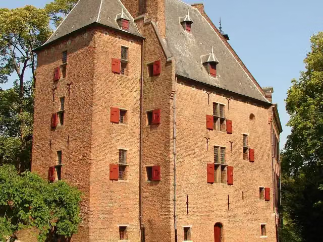 De KinkelenburgCastle · 9.5 km from the route
- 19
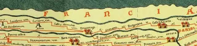 Castellum MeinerswijkArchaeological site · 767 m from the route
- 20
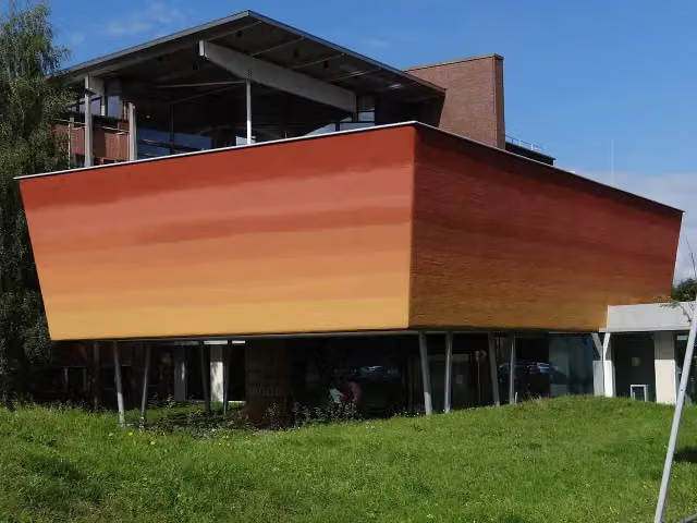 World Soil MuseumMuseum · 2.6 km from the route
- 21
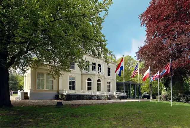 Airborne Museum 'Hartenstein'Museum · 1.1 km from the route
- 22
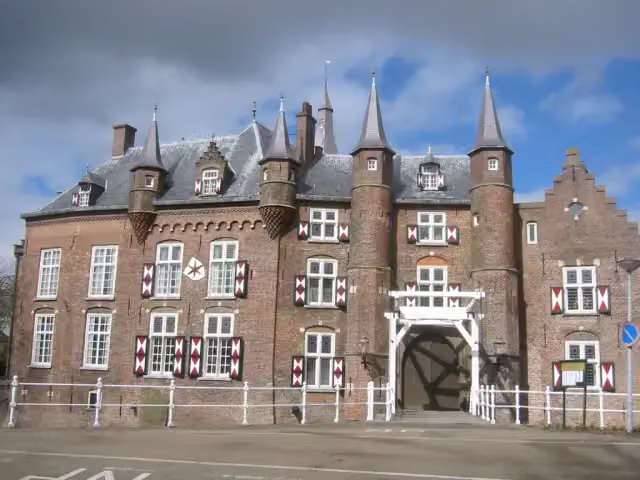 Kasteel MaurickCastle · 3.3 km from the route
- 23
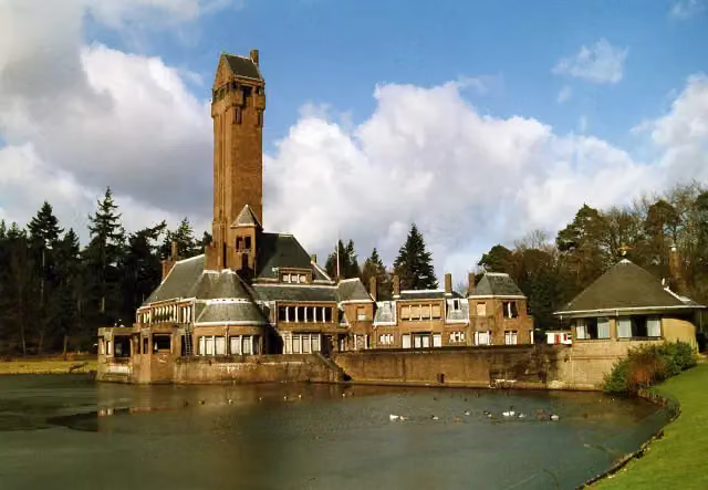 Jachthuis Sint HubertusCastle · 8 km from the route
- 24
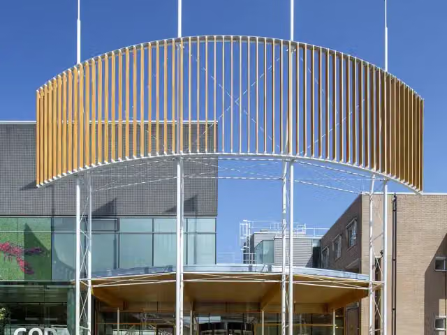 CODAMuseum · 1.6 km from the route
- 25
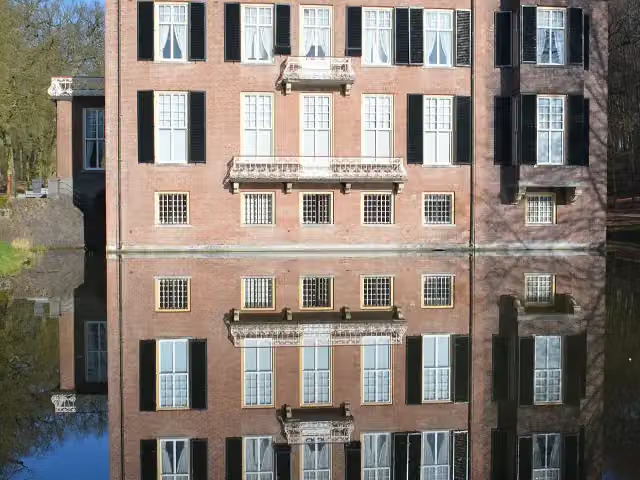 Huis ZypendaalCastle · 737 m from the route
Explore more
More walks around 's-Hertogenbosch
Frequently asked questions
How long is Maarten van Rossumpad - Hoofdroute?
Maarten van Rossumpad - Hoofdroute is 387.1 km long, in 24 stages of 16.1 km on average. Allow ± 3:40 h per stage of walking: 4.5 km an hour and 10 minutes more per 100 metres of climbing, without breaks.
Is this route a circular walk?
No, the route runs from Den Bosch to Steenwijk.
Where does this route start?
The route starts in 's-Hertogenbosch.
How hard is this route?
Moderate per stage, with 37 m per stage of climbing.
Are there toilets along this route?
Yes, there are 17 public toilets within 100 m of the route. The longest stretch without a toilet is 94.9 km.
Can you fill up with water along this route?
Yes, there are 13 water fountains and refill points within 100 m of the route.
What is there to see along this route?
Along the way you pass Puthuis, Museum Slager and Het Oeteldonks Gemintemuzejum.
Starting point
More routes from this place
Route data © OpenStreetMap contributors





