 Outdoor Pitstop
Walking guide Tholen · Updated on 5 November 2026
The best walks in Tholen
Tholen has 10 walks on the Outdoor Pitstop map. The 6 best are 17.9 km long on average. Along the way you'll find 60 benches and picnic tables and 3 public toilets in total.
i
i

i
The 6 best walks in Tholen
The best walking route in Tholen by our score is Oosterscheldepad - 10: 15 km, from A to B, start Tholen, moderate.
In the order of our score: a photo, points of interest along the way, a toilet or water point, a circular walk, a description and how often people search for the route.
The numbers on the map are the routes below, at their starting point. Pitstops count up to 100 m from the route. Walking time assumes 4.5 km an hour plus 10 minutes per 100 m of ascent.
- 1
i
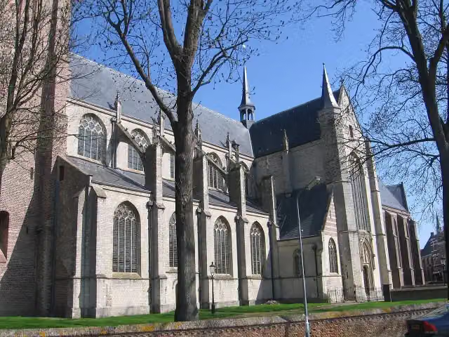
Photo: M.Minderhoud · Wikimedia Commons · CC BY-SA 3.0View the photo on Wikimedia CommonsOosterscheldepad - 10
ModerateOosterschelde Trail - 10
15 km · ± 3:20 h · ↗ 17 m · From A to B · start Tholen
2 public toilets0 water fountains and refill points11 benches and picnic tables
- 2
i
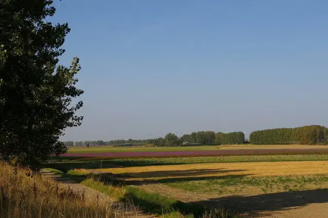
Photo: M.Minderhoud · Wikimedia Commons · CC BY-SA 3.0View the photo on Wikimedia CommonsOosterscheldepad - 11
ModerateOosterschelde Trail - 11
17.5 km · ± 3:55 h · ↗ 29 m · From A to B · start Tholen
0 public toilets0 water fountains and refill points2 benches and picnic tables
- 3
i
Photo: MartinD · Wikimedia Commons · CC BY-SA 3.0View the photo on Wikimedia CommonsOosterschelde Trail - 8
20.4 km · ± 4:30 h · ↗ 3 m · From A to B · start Tholen
1 public toilet0 water fountains and refill points23 benches and picnic tables
- 4
i
Photo: MartinD · Wikimedia Commons · CC BY-SA 3.0View the photo on Wikimedia CommonsOosterscheldepad - 9
ModerateOosterschelde Trail - 9
15.3 km · ± 3:25 h · ↗ 13 m · From A to B · start Tholen
0 public toilets0 water fountains and refill points8 benches and picnic tables
- 5
Oosterscheldepad - 7
ModerateOosterschelde Trail - 7
15.2 km · ± 3:25 h · ↗ 26 m · From A to B · start Schouwen-Duiveland
0 public toilets0 water fountains and refill points4 benches and picnic tables
- 6
23.8 km · ± 5:20 h · ↗ 33 m · From A to B · start Goeree-Overflakkee
0 public toilets0 water fountains and refill points12 benches and picnic tables
All 4 walks from Tholen, A to Z
Long-distance paths through Tholen
Walks of several days, in stages.
i
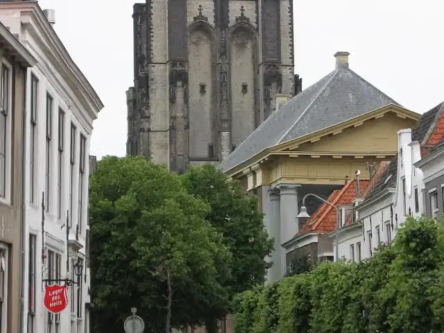
Photo: M.Minderhoud · Wikimedia Commons · CC BY-SA 3.0View the photo on Wikimedia Commons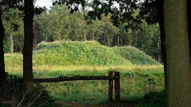
i
Photo: Nokah · Wikimedia Commons · CC BY-SA 3.0 nlView the photo on Wikimedia CommonsEuropean long distance path E2 east
377.9 km · From A to B
i
Photo: Nokah · Wikimedia Commons · CC BY-SA 3.0 nlView the photo on Wikimedia CommonsEuropese wandelroute E2, Nederland
European long distance path E2 - part Netherlands
134.3 km · From A to B
i
Photo: Nokah · Wikimedia Commons · CC BY-SA 3.0 nlView the photo on Wikimedia Commons
Points of interest along the walks
Along the 6 best walks.
Grote- of Onze Lieve Vrouwekerk
Attraction · along 2 walks
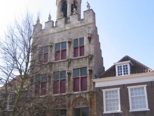
Stadhuis van Tholen
Attraction · along 2 walks

Castle · along 2 walks
Observation tower · along 2 walks
Walks per place in Zeeland
10 places have their own guide.
Explore further
Frequently asked questions
How many walks are there in Tholen?
The Outdoor Pitstop map has 10 walks in Tholen, including 4 long-distance paths in stages.
What is the best walk in Tholen?
At the top of this guide is Oosterscheldepad - 10 (15 km, moderate). Next come Oosterscheldepad - 11 and Oosterscheldepad - 8.
Which walks in Tholen have a toilet along the way?
In this guide, Oosterscheldepad - 10 and Oosterscheldepad - 8 have a public toilet along the route.
Which long-distance paths run through Tholen?
Among others Oosterscheldepad, European long distance path E2 east, Europese wandelroute E2, Nederland and GR 5 Nederland run through this area.
Popular nearby
Guides of places nearby





