 Outdoor Pitstop
Walking route · Rotterdam · European long distance path E2 - part Netherlands · Updated on 6 November 2026
Europese wandelroute E2, Nederland
Europese wandelroute E2, Nederland is a walk of 134.3 km from Rotterdam. Along the way you'll find 250 benches and picnic tables, 6 water fountains and refill points, 4 public toilets and 1 food stand.
i
i
i
The route step by step
From start to finish, with what you pass along the way and the distance in between.
- 134.3 km
- From A to B
- International route
Pick a stage to see the pitstops per kilometre. Along the way you'll find 250 benches and picnic tables, 6 water fountains and refill points, 4 public toilets and 1 food stand.
Follow these steps in the appThe route with the water points, toilets and sights within 100 m of it.
13 sights along the way
In the order you pass them. With the Outdoor Pitstop app you hear their story on the spot. 5 more along the route are on the map.

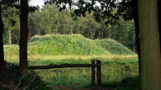
Observation tower
i
Photo: Michiel1972 · Wikimedia Commons · CC BY-SA 3.0View the photo on Wikimedia CommonsMuseum
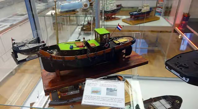
Tugboat Museum
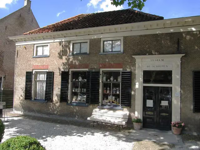
Museum
Museum Maassluis
Museum
i
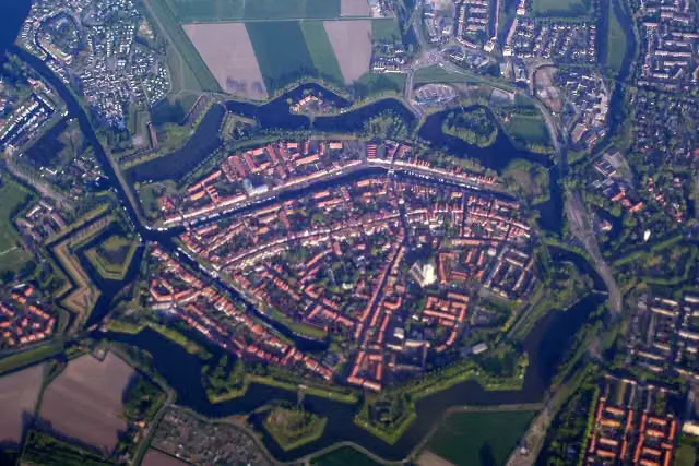
Photo: Debot at Dutch Wikipedia · Wikimedia Commons · CC BY-SA 3.0View the photo on Wikimedia CommonsCastle
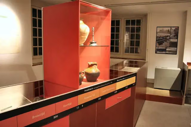 Story
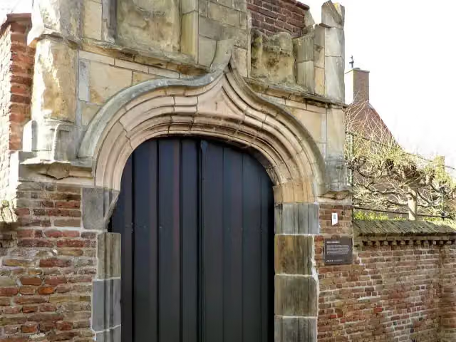
i
Photo: Chris06 · Wikimedia Commons · CC BY-SA 4.0View the photo on Wikimedia CommonsAttraction
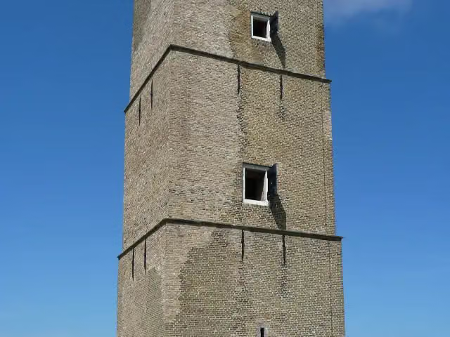 Audio story · 2 min
i
Photo: Willemjans · Wikimedia Commons · CC BY-SA 3.0View the photo on Wikimedia CommonsStenen Baak
Attraction
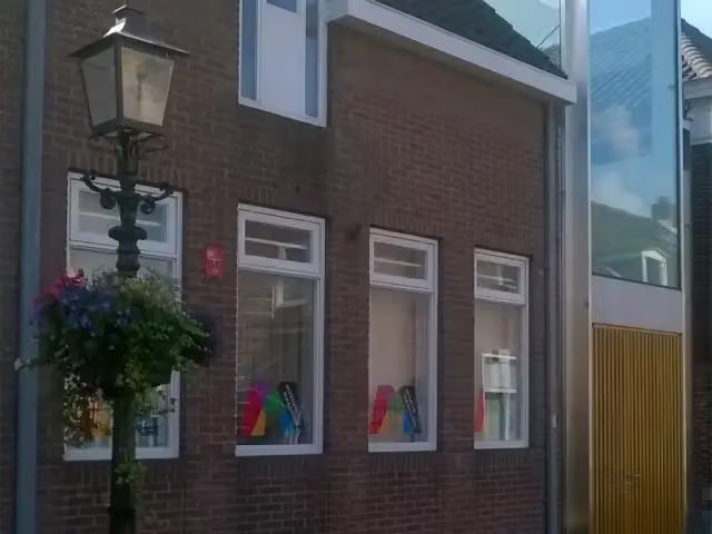
Stages (1)
About the walking route Europese wandelroute E2, Nederland
Updated on 6 November 2026, with data from OpenStreetMap and the AHN.
Where do you walk?
Europese wandelroute E2, Nederland is a walking route of 134.3 km that starts in Rotterdam. It does not end where it starts.
Pitstops along the way
Within 100 metres of the route there are 250 benches and picnic tables, 6 water fountains and refill points, 4 public toilets and 1 food stand. The Outdoor Pitstop app navigates you there.
Part of European long distance path E2 east
Website of the routeWalks nearby
6- VoornepadHard · From A to B91.6 km
- Nederlands Kustpad deel 1 - 9Hard · From A to B20.8 km
- Nederlands Kustpad deel 1 - 8Moderate · From A to B14.1 km
- GR 5 NL - 4 - Rockanje-GoedereedeModerate · From A to B14.1 km
- GR 5 NL - 3 - Brielle-RockanjeHard · From A to B20.7 km
- GR 5 NL - 3 - Brielle-Rockanje - omleiding/wintervariantEasy · From A to B2.5 km
Sights nearby
Within 10 km of the route, best known first.
- 1
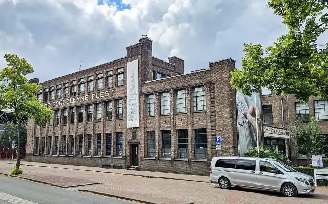 Royal DelftMuseum · 9.5 km from the route
- 2
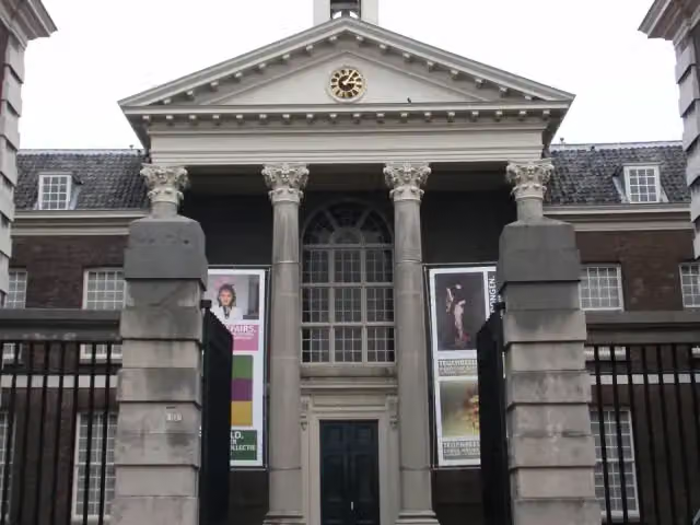 Stedelijk Museum SchiedamMuseum · 8.8 km from the route
- 3
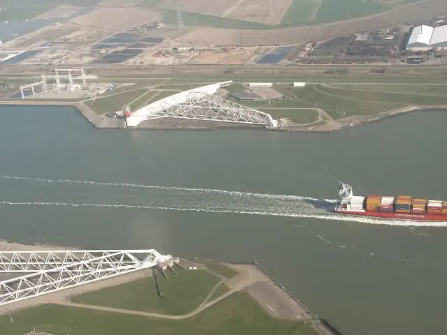 Maeslant BarrierAttraction · 725 m from the route
- 4
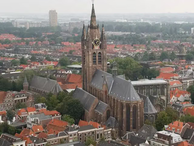 Old ChurchAttraction · 9.9 km from the route
- 5
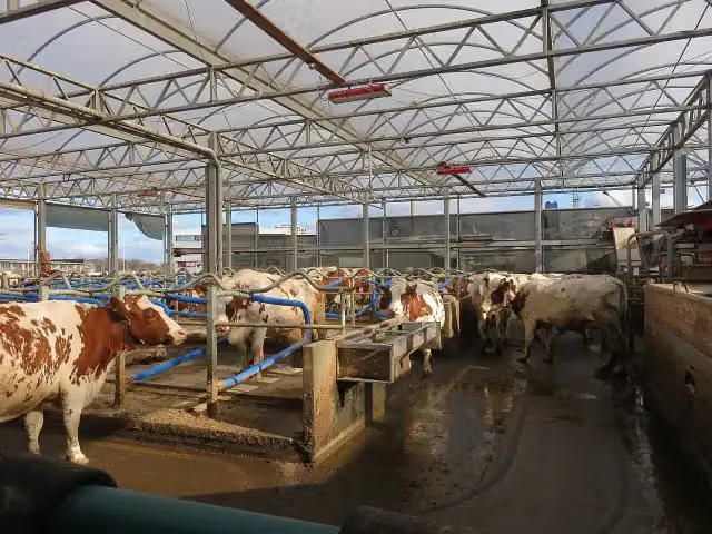 Floating FARMAttraction · 9.9 km from the route
- 6
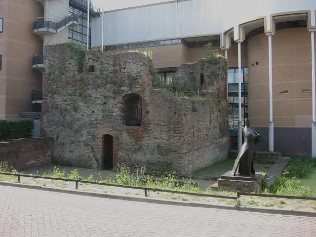 Huis te RiviereRuins · 9.1 km from the route
- 7
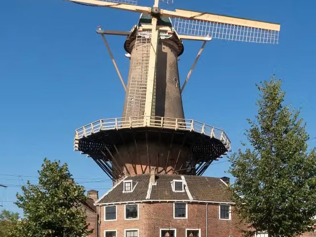 De RoosAttraction · 9.9 km from the route
- 8
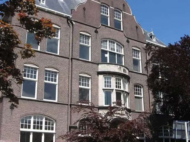 Science Centre DelftMuseum · 9.7 km from the route
- 9
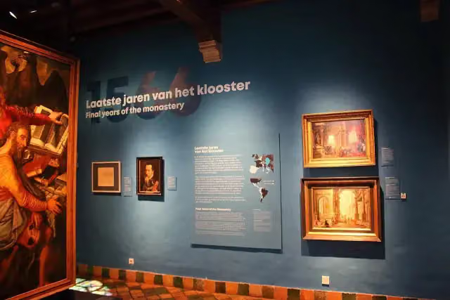 Het PrinsenhofMuseum · 9.9 km from the route
- 10
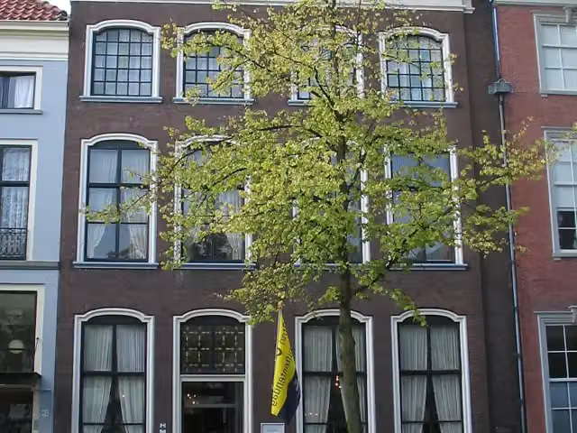 Museum Paul Tétar Van ElvenMuseum · 9.8 km from the route
- 11
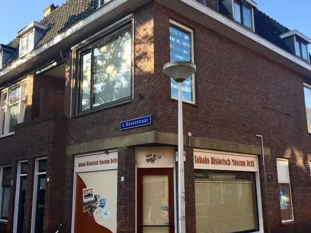 Tabaks Historisch Museum DelftMuseum · 9.6 km from the route
- 12
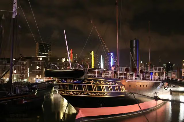 Museumschip "Buffel"Museum · 4.2 km from the route
- 13
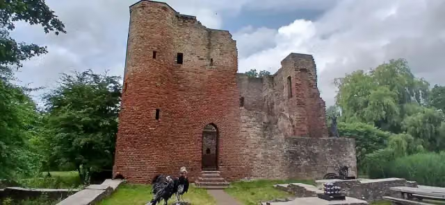 Slot HeenvlietArchaeological site · 4.3 km from the route
- 14
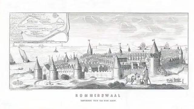 ReimerswaalArchaeological site · 8.3 km from the route
- 15
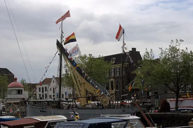 Museum VlaardingenMuseum · 5.6 km from the route
- 16
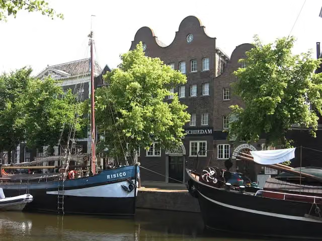 The Distilleries MuseumMuseum · 8.7 km from the route
- 17
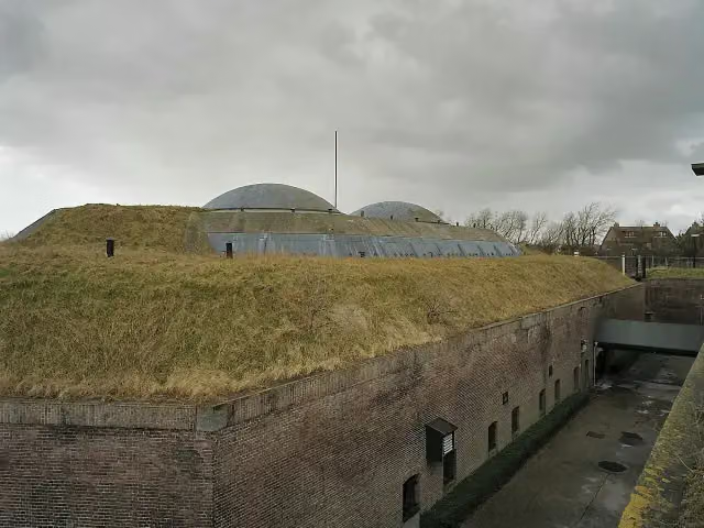 Fort aan den Hoek van HollandFort · 438 m from the route
- 18
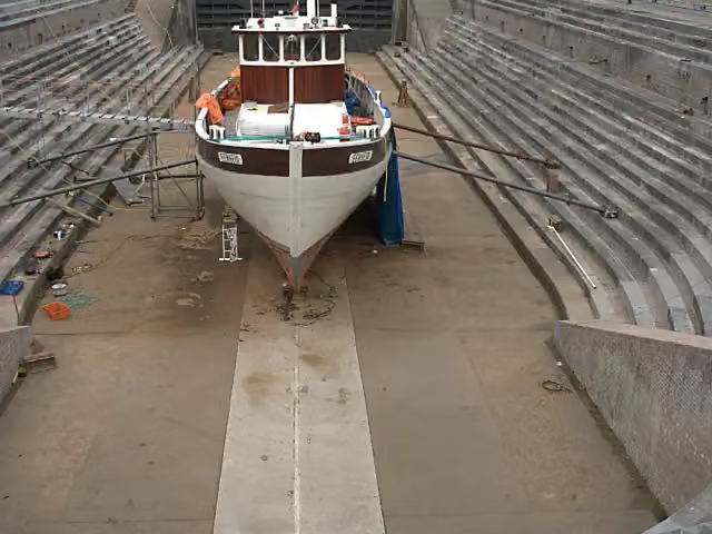 Droogdok Jan BlankenMuseum · 4.1 km from the route
- 19
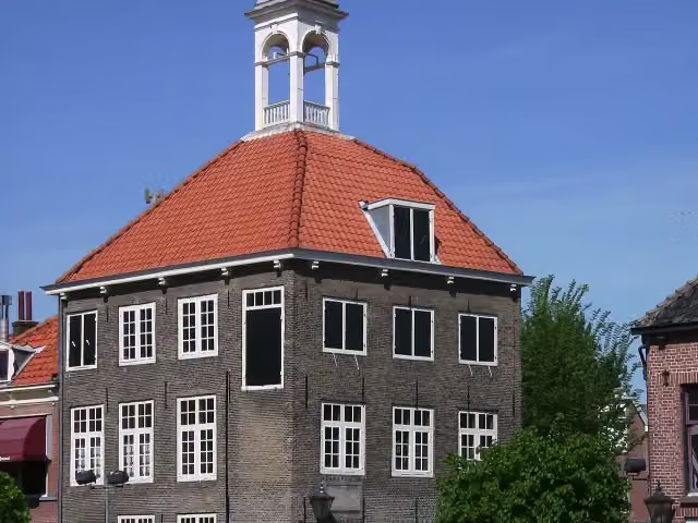 ZakkendragershuisjeAttraction · 8.6 km from the route
- 20
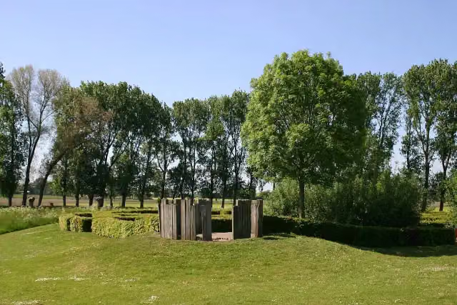 Kasteel van WouwAttraction · 5.1 km from the route
- 21
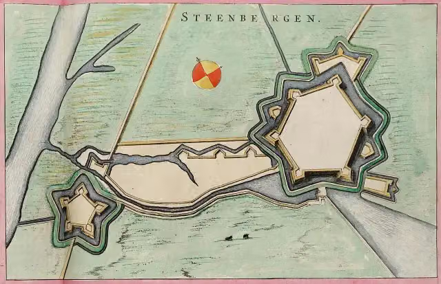 Fort HenricusFort · 6.4 km from the route
- 22
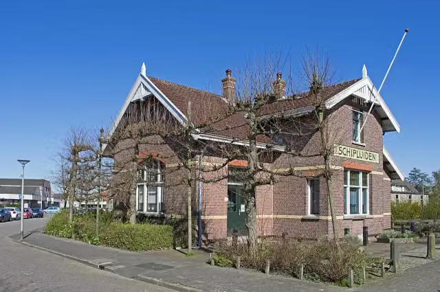 Museum Het TramstationMuseum · 5.1 km from the route
- 23
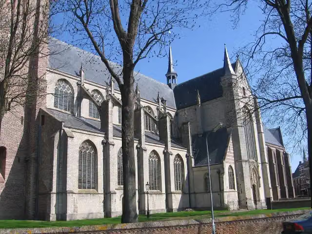 Grote- of Onze Lieve VrouwekerkAttraction · 2.5 km from the route
- 24
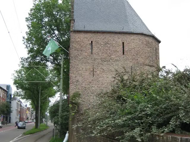 BagijnetorenAttraction · 9.8 km from the route
- 25
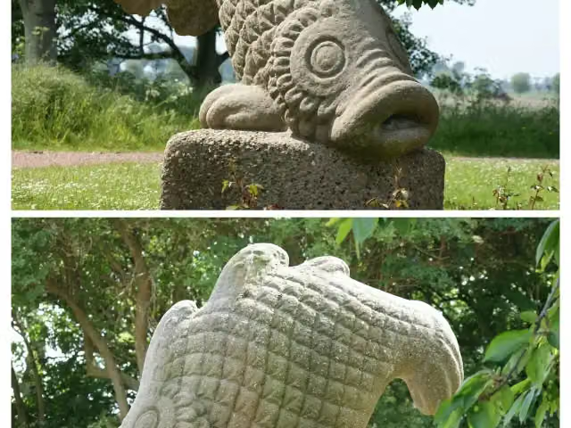 Watersnoodmonument StavenisseMemorial · 9.6 km from the route
Explore more
Frequently asked questions
How long is Europese wandelroute E2, Nederland?
Europese wandelroute E2, Nederland is 134.3 km long, split into several parts and stages.
Is this route a circular walk?
No, the route starts and ends at different spots.
Where does this route start?
The route starts in Rotterdam.
Are there toilets along this route?
Yes, there are 4 public toilets within 100 m of the route.
Can you fill up with water along this route?
Yes, there are 6 water fountains and refill points within 100 m of the route.
What is there to see along this route?
Along the way you pass Observation tower, Museum de Schilpen and Tugboat Museum.
Starting point
More routes from this place
Route data © OpenStreetMap contributors





