 Outdoor Pitstop
Walking route · Goes · Oosterschelde Trail · Updated on 5 November 2026
Oosterscheldepad walk
Oosterscheldepad is a walk of 265.7 km from Goes. Along the way you'll find 272 benches and picnic tables, 1 water point and 25 public toilets.
i
i
i
The route step by step
From start to finish, with what you pass along the way and the distance in between.
- 265.7 km
- ± 3:45 h per stage
- ↑ 268 m · ↓ 253 m
- Moderate per stage
- From A to B
- Regional route
Start in Goes
0 km280 m · 3 benches

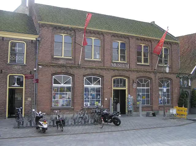
Historisch museum de Bevelanden
280 mMuseum
152 m
Public toilet
432 m30.4 km · 25 benches
Public toilet
30.8 km9.2 km · 10 benches
Public toilet
40 km10.8 km · 16 benches
2 public toilets
50.9 km6.1 km · 11 benches
2 public toilets
57 km23 km · 8 benches
3 public toilets
80 km169 m · 3 benches
Public toilet
80.2 km916 m · 17 benches
Nieuwe kerk and 1 more
81.1 kmSint-Lievensmonstertoren and water point
2.5 km · 27 benches
Public toilet
215 m · 4 benches
Public toilet
83.8 km7.3 km · 2 benches
Public toilet
91.1 km2 km · bench
Watersnoodmuseum
93.1 kmMuseum
21.7 km · 6 benches
Uitkijktoren Krammersluizen
114.8 kmObservation tower
24.8 km · 18 benches
Public toilet
139.5 km26 km · 27 benches
2 public toilets
165.5 km7 km · bench
Grote- of Onze Lieve Vrouwekerk and 2 more
172.6 kmStadhuis van Tholen and Vesting Tholen
17.6 km · 2 benches
Kraaijenberg and 1 more
190.2 kmUitkijktoren Kraaijenberg
45.6 km · 42 benches
2 public toilets
235.8 km152 m
Public toilet
236 km452 m
Public toilet
236.4 km827 m · 4 benches
Public toilet
237.2 km14 km · 19 benches
Public toilet
251.3 km12.7 km · 17 benches
Public toilet
264 km925 m · 3 benches
Public toilet
264.9 km787 m · 6 benches
Finish
265.7 km
Longest stretch without a toilet: 70.3 kmBetween 165.5 km and 235.8 km there is no public toilet within 100 m of the route.
The route with the water points, toilets and sights within 100 m of it.
11 sights along the way
In the order you pass them. With the Outdoor Pitstop app you hear their story on the spot. 3 more along the route are on the map.
i
Photo: Lymantria · Wikimedia Commons · CC BY-SA 3.0View the photo on Wikimedia CommonsMuseum · after 280 m
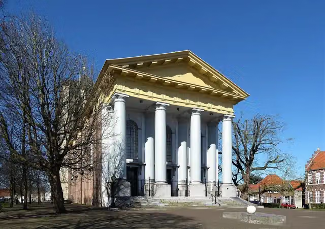
Nieuwe kerk
Attraction · after 81.1 km
- Audio story · 2 min
i
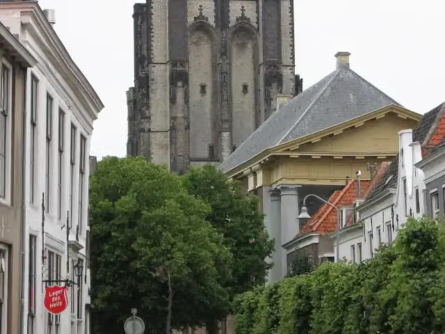
Photo: M.Minderhoud · Wikimedia Commons · CC BY-SA 3.0View the photo on Wikimedia CommonsSint-Lievensmonstertoren
Attraction · after 81.2 km
 Story
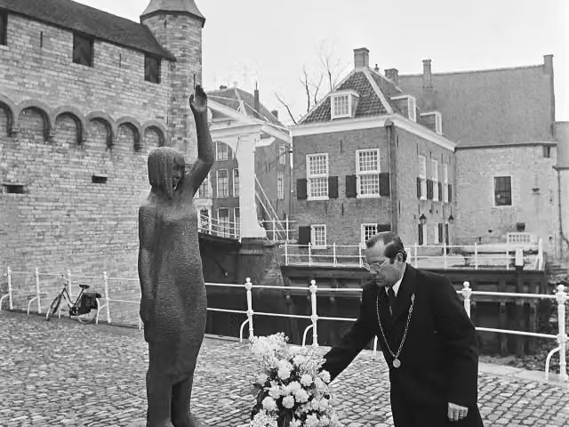
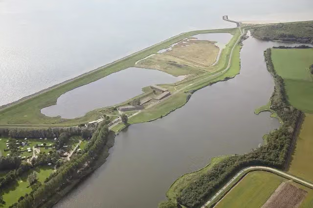
Watersnoodmonument 'Beproefd maar niet gebroken'
Memorial · after 83.6 km
 Story
i
Photo: The original uploader was CrazyPhunk at Dutch Wikipedia. (Original text: Joop van Houdt) · Wikimedia Commons · CC BY-SA 3.0View the photo on Wikimedia CommonsWatersnoodmuseum
Museum · after 93.1 km

Observation tower · after 114.8 km
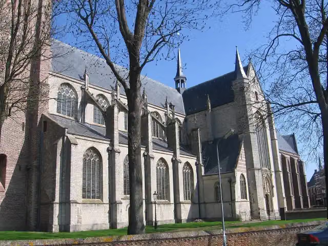
Grote- of Onze Lieve Vrouwekerk
Attraction · after 172.6 km
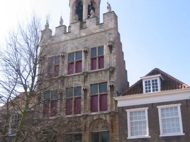
Stadhuis van Tholen
Attraction · after 172.6 km
Stages (16)
Elevation and terrain
- Up
- ↑ 268 m
- Down
- ↓ 253 m
- Highest point
- 17 m
- Lowest point
- -2 m
- 33 stairs
Elevation from AHN (Rijkswaterstaat), smoothed.
Way types
265.7 km in total- Road: 113.9 km
- Street: 48.2 km
- Cycleway: 37.6 km
- Path: 25.4 km
- Track: 21.4 km
- Footpath: 16.3 km
- Stairs: 33 stairs
- Busy road: 625 m
Surfaces
265.7 km in total- Asphalt: 110 km
- Natural: 12.8 km
- Gravel: 12.8 km
- Paved: 11.5 km
- Unpaved: 9.4 km
- Unknown: 108.6 km
About the walking route Oosterscheldepad
Updated on 5 November 2026, with data from OpenStreetMap and the AHN.
Where do you walk?
Oosterscheldepad is a walking route of 265.7 km that starts in Goes. It does not end where it starts. Along the way you pass Historisch museum de Bevelanden (after 280 m), Nieuwe kerk (after 81.1 km) and Sint-Lievensmonstertoren (after 81.2 km).
How hard is the route?
You climb 268 m in total and descend 253 m. There are 33 flights of steps along the way. Allow ± 3:45 h per stage, without breaks. Per stage the level is moderate.
What paths do you walk on?
The longest part is road (113.9 km), street (48.2 km) and cycleway (37.6 km). Of the surface, 110 km asphalt and 12.8 km natural. For 108.6 km the surface is not known.
Pitstops along the way
Within 100 metres of the route there are 272 benches and picnic tables, 1 water point and 25 public toilets. You can fill your bottle after 81.1 km. The longest stretch without a toilet is 70.3 km. The Outdoor Pitstop app navigates you there.
Walks nearby
3Sights nearby
Within 10 km of the route, best known first.
- 1
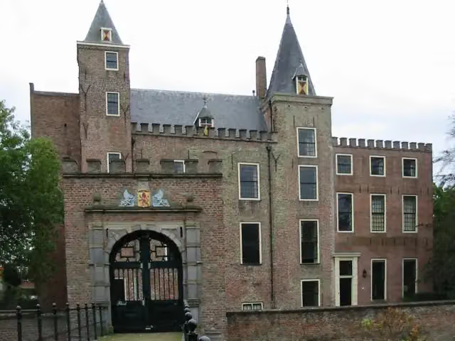 Slot HaamstedeAttraction · 2.6 km from the route
- 2
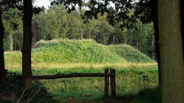 Fort De RoovereFort · 2.7 km from the route
- 3
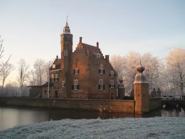 Slot MoermondCastle · 3.1 km from the route
- 4
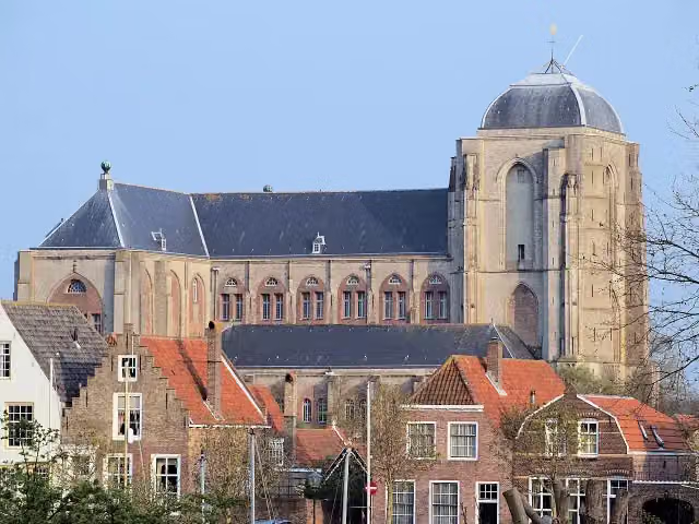 Grote KerkMuseum · 5.5 km from the route
- 5
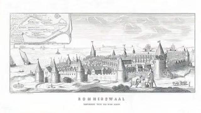 ReimerswaalArchaeological site · 2.1 km from the route
- 6
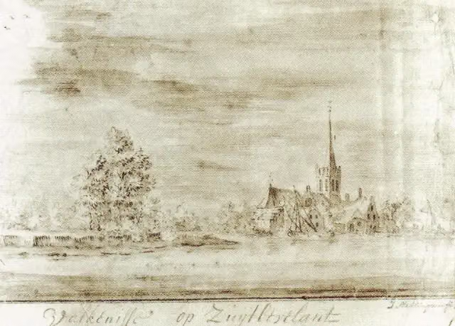 ValkenisseArchaeological site · 4 km from the route
- 7
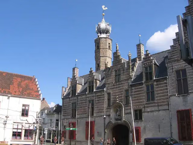 MarkiezenhofMuseum · 650 m from the route
- 8
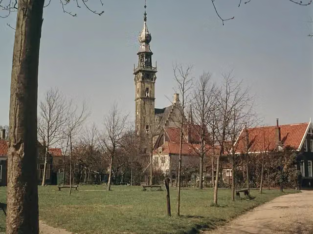 StadhuisAttraction · 5.3 km from the route
- 9
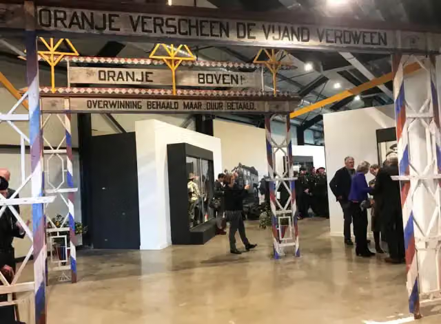 Zeeland Liberation MuseumMuseum · 6.9 km from the route
- 10
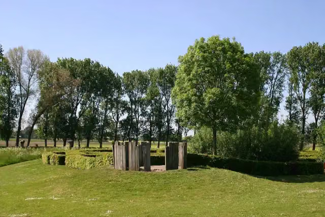 Kasteel van WouwAttraction · 7.5 km from the route
- 11
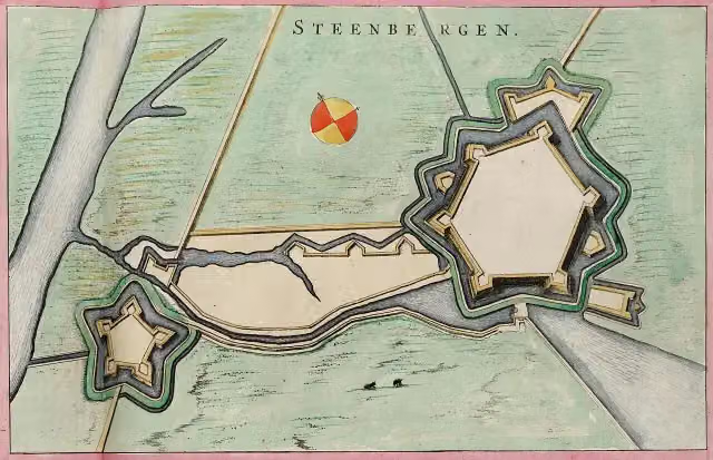 Fort HenricusFort · 7.7 km from the route
- 12
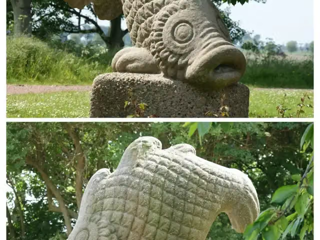 Watersnoodmonument StavenisseMemorial · 588 m from the route
- 13
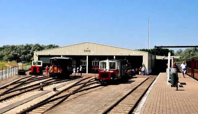 RTM OuddorpMuseum · 8.2 km from the route
- 14
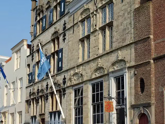 Veere Stadhuismuseum & De Schotse HuizenMuseum · 5.2 km from the route
- 15
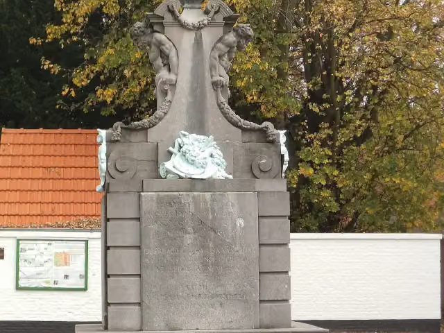 Gedenkteken Jacob JordaensMemorial · 7.6 km from the route
- 16
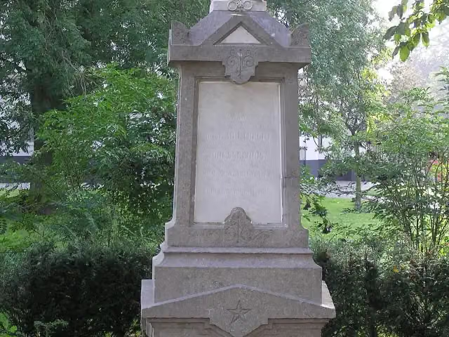 MemorialMemorial · 311 m from the route
- 17
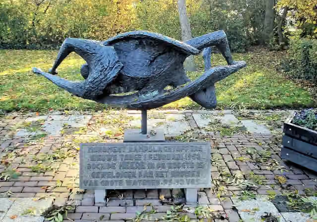 WatersnoodmonumentMemorial · 4.1 km from the route
- 18
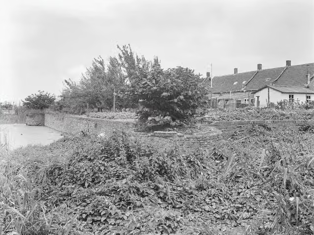 Het BosCastle · 158 m from the route
- 19
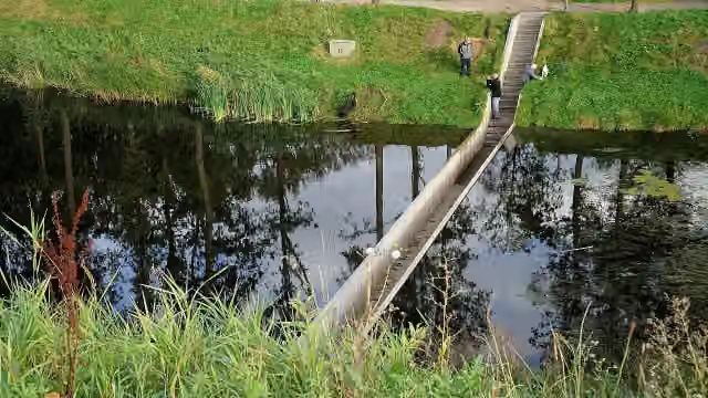 Moses BridgeAttraction · 2.8 km from the route
- 20
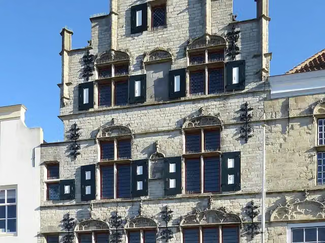 't LammetjeAttraction · 5.2 km from the route
- 21
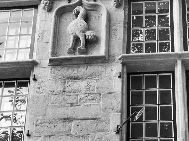 de StruijsAttraction · 5.2 km from the route
- 22
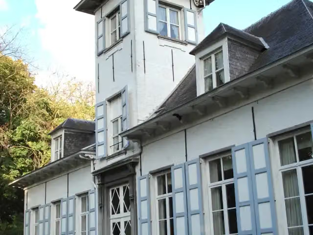 Kasteel ReigershofCastle · 5.4 km from the route
- 23
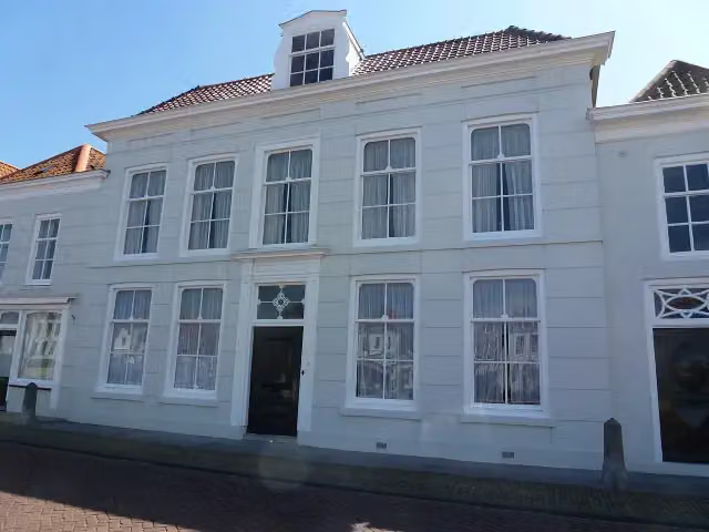 Brouws MuseumMuseum · 5.5 km from the route
- 24
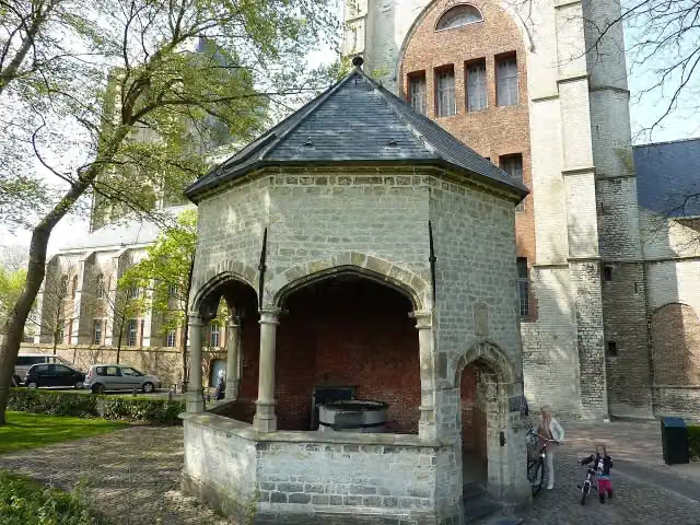 CisterneAttraction · 5.5 km from the route
- 25
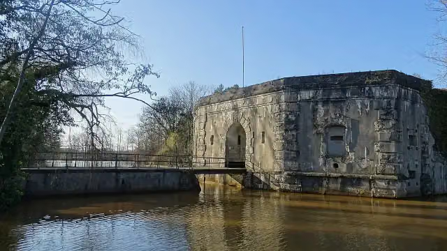 Fort van StabroekFort · 6.5 km from the route
Explore more
More walks around Goes
Frequently asked questions
How long is Oosterscheldepad?
Oosterscheldepad is 265.7 km long, in 16 stages of 16.6 km on average. Allow ± 3:45 h per stage of walking: 4.5 km an hour and 10 minutes more per 100 metres of climbing, without breaks.
Is this route a circular walk?
No, the route starts and ends at different spots.
Where does this route start?
The route starts in Goes.
How hard is this route?
Moderate per stage, with 17 m per stage of climbing.
Are there toilets along this route?
Yes, there are 25 public toilets within 100 m of the route. The longest stretch without a toilet is 70.3 km.
Can you fill up with water along this route?
Yes, there are 1 water point within 100 m of the route.
What is there to see along this route?
Along the way you pass Historisch museum de Bevelanden, Nieuwe kerk and Sint-Lievensmonstertoren.
Starting point
More routes from this place
Route data © OpenStreetMap contributors





