 Outdoor Pitstop
Walks near Alkmaar
1-12 of 44 walks
Within 10 km of Alkmaar, nearest first.
Sort: Nearest first
- 1
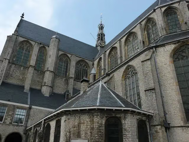
Westfriese Omringdijk - 2
West Frisian Ring Dyke - 2
17.1 km · From A to B
± 3:50 hModerate
56benches and picnic tables3public toilets1water point
- 2
Trekvogelpad - 02
Migratory Bird Trail - 2
21.2 km · From A to B
± 4:45 hHard
57benches and picnic tables3public toilets1water point
- 3
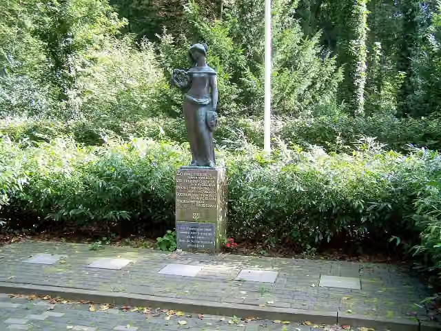
Trekvogelpad - 01
Migratory Bird Trail - 1
21.7 km · From A to B
± 4:55 hHard
75benches and picnic tables4public toilets1water point
- 4
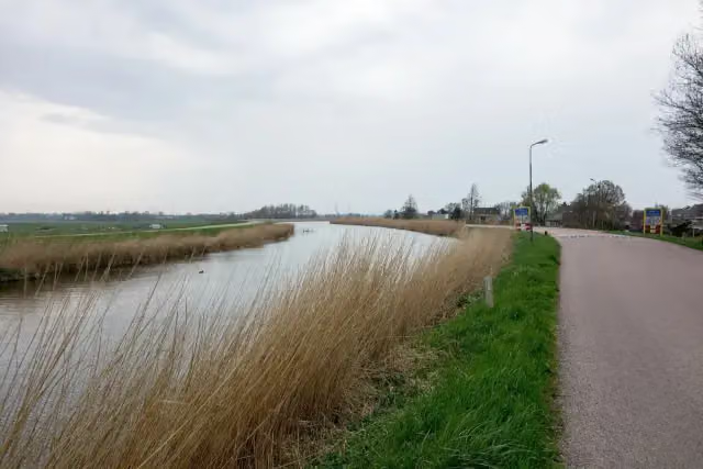
Westfriese Omringdijk - 3
West Frisian Ring Dyke - 3
18.1 km · From A to B
± 4:00 hModerate
29benches and picnic tables3public toilets4water fountains and refill points
- 5
WNW Noord-Holland verbindingsroute70-81
Noord-Holland walking network link route 70-81
4 km · From A to B
± 55 minEasy
0benches and picnic tables0public toilets0water fountains and refill points
- 6
Nijenburg
4.3 km · Circular walk
± 55 minEasy
11benches and picnic tables0public toilets0water fountains and refill points
- 7
TVP 01 Alternatieve route broedseizoen en met hond
TVP 01 Alternative route in breeding season and with dog
1.5 km · From A to B
± 20 minEasy
7benches and picnic tables0public toilets0water fountains and refill points
- 8
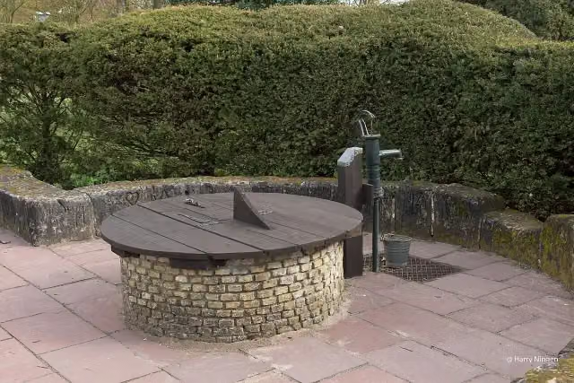
Monnikenpad
Monks' Trail
13.2 km · Circular walk
± 2:55 hModerate
16benches and picnic tables0public toilets1water point
- 9
TVP 01 Alternatieve route met hond
TVP 01 Alternative route with dog
1.9 km · From A to B
± 25 minEasy
0benches and picnic tables0public toilets0water fountains and refill points
- 10
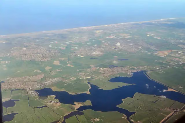
Noord-Hollandpad - 08
North Holland Trail - 8
22.6 km · From A to B
± 5:00 hHard
34benches and picnic tables1public toilet2water fountains and refill points
- 11
WNW Noord-Holland verbindingsroute 54-91
Noord-Holland walking network link route 54-91
1.8 km · From A to B
± 25 minEasy
0benches and picnic tables0public toilets1water point
- 12
Menningweerroute
6.7 km · Circular walk
± 1:30 hEasy
1bench0public toilets0water fountains and refill points
Walks per province and place
Per province the places with the most routes. The province itself has them all.
North Holland
687 routes ›- Amsterdam104 ›
- Haarlemmermeer59 ›
- Gooise Meren54 ›
- Hilversum51 ›
- Medemblik42 ›
- Bloemendaal40 ›
- Velsen40 ›
- Wijdemeren38 ›
- Texel36 ›
- Amstelveen34 ›
- Alkmaar26 ›
Drenthe
160 routes ›- Westerveld30 ›
- De Wolden29 ›
- Aa en Hunze23 ›
- Midden-Drenthe23 ›
- Borger-Odoorn21 ›
- Emmen19 ›
- Coevorden19 ›
- Hoogeveen17 ›
- Tynaarlo15 ›
- Meppel13 ›
Frisia
117 routes ›- Súdwest-Fryslân30 ›
- Noardeast-Fryslân25 ›
- Tytsjerksteradiel17 ›
- Leeuwarden15 ›
- Weststellingwerf14 ›
- De Fryske Marren13 ›
- Dantumadiel12 ›
- Smallingerland11 ›
- Waadhoeke11 ›
- Ooststellingwerf10 ›
Gelderland
1,130 routes ›- Bronckhorst82 ›
- Lochem80 ›
- Apeldoorn73 ›
- Berkelland65 ›
- Berg en Dal64 ›
- Winterswijk59 ›
- Nijmegen53 ›
- West Betuwe53 ›
- Ede52 ›
- Aalten51 ›
Limburg
409 routes ›- Gulpen-Wittem84 ›
- Eijsden-Margraten69 ›
- Valkenburg aan de Geul50 ›
- Vaals42 ›
- Maastricht39 ›
- Weert38 ›
- Beekdaelen37 ›
- Venlo23 ›
- Voerendaal23 ›
- Sittard-Geleen20 ›
North Brabant
446 routes ›- 's-Hertogenbosch50 ›
- Eindhoven40 ›
- Oisterwijk39 ›
- Boxtel37 ›
- Bergeijk35 ›
- Land van Cuijk34 ›
- Meierijstad33 ›
- Bergen op Zoom32 ›
- Heeze-Leende30 ›
- Valkenswaard30 ›
Overijssel
645 routes ›- Steenwijkerland64 ›
- Hardenberg58 ›
- Hof van Twente55 ›
- Dinkelland54 ›
- Deventer53 ›
- Rijssen-Holten53 ›
- Enschede52 ›
- Hellendoorn47 ›
- Ommen44 ›
- Tubbergen40 ›
South Holland
209 routes ›- Rotterdam34 ›
- Alphen aan den Rijn31 ›
- Krimpenerwaard30 ›
- Wassenaar23 ›
- Voorne aan Zee22 ›
- Nieuwkoop22 ›
- Midden-Delfland21 ›
- Bodegraven-Reeuwijk20 ›
- Goeree-Overflakkee19 ›
- Hoeksche Waard17 ›





