 Outdoor Pitstop
Walks near The Hague
1-12 of 32 walks
Within 10 km of The Hague, nearest first.
Sort: Nearest first
- 1
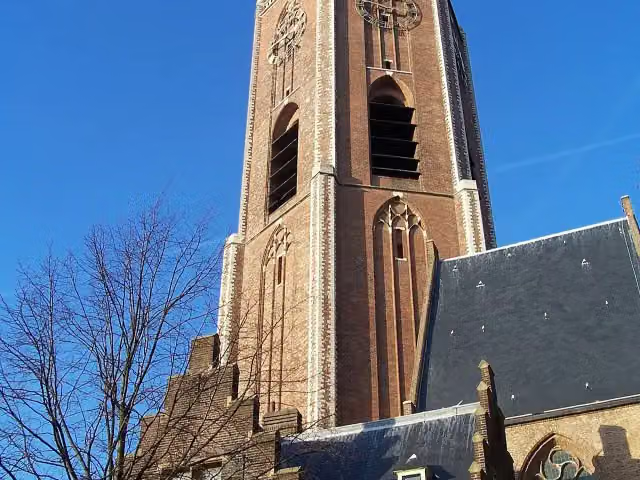
Monumentale bomen- en hofjesroute
Monumental trees and almshouses route
4.6 km · From A to B
± 1:05 hEasy
38benches and picnic tables1public toilet0water fountains and refill points
- 2
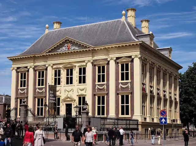
Marskramerpad - 20
Pedlars' Trail - 20
19.7 km · From A to B
± 4:25 hModerate
250benches and picnic tables0public toilets5water fountains and refill points
- 3
Nederlands Kustpad deel 2 - 03
Dutch Coastal Trail part 2 - 3
23.1 km · From A to B
± 5:15 hHard
172benches and picnic tables1public toilet15water fountains and refill points
- 4
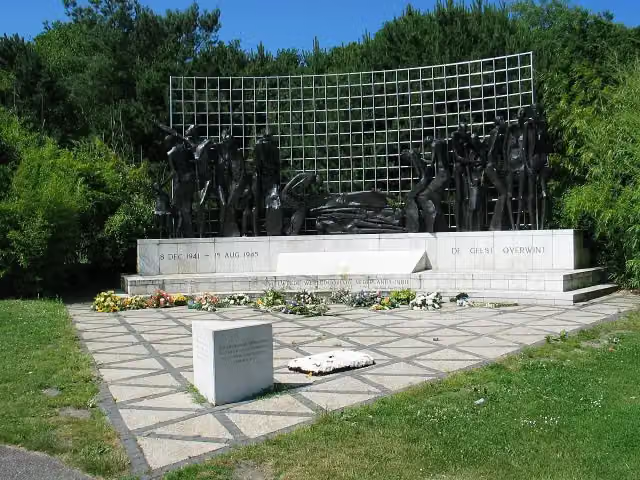
Nederlands Kustpad deel 2 - 02
Dutch Coastal Trail part 2 - 2
18.4 km · From A to B
± 4:15 hModerate
303benches and picnic tables4public toilets12water fountains and refill points
- 5
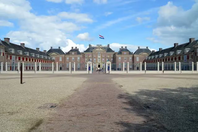
Koninklijke Weg
Royal Way
178.1 km · From A to B
± 39:50 hHard
554benches and picnic tables7public toilets13water fountains and refill points
- 6
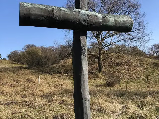
NS-wandeling Meijendel
NS walk Meijendel
13.4 km · From A to B
± 3:00 hModerate
114benches and picnic tables0public toilets7water fountains and refill points
- 7
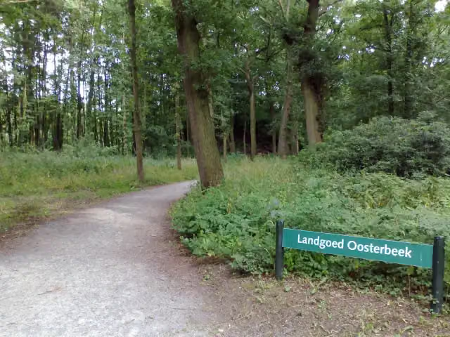
Gele wandelroute Clingendael
Yellow walking route Clingendael
3.7 km · Circular walk
± 50 minEasy
62benches and picnic tables0public toilets1water point
- 8
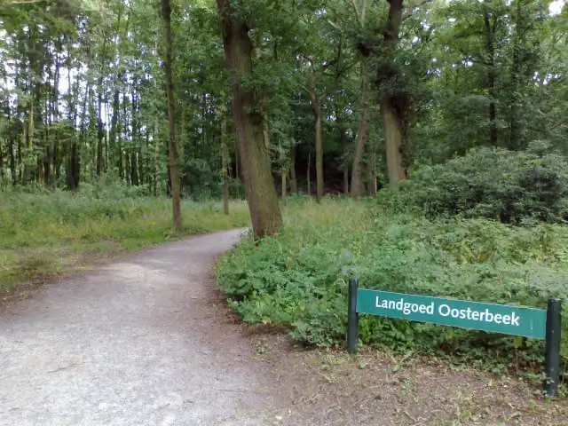
Rode wandelroute Clingendael
Red walking route Clingendael
2.6 km · From A to B
± 35 minEasy
44benches and picnic tables0public toilets1water point
- 9
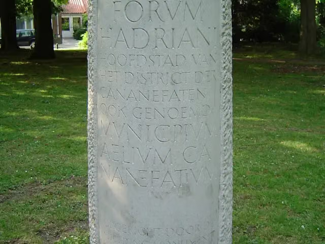
Romeinse Limespad - variant A
Roman Limes Trail - variant A
16.5 km · From A to B
± 3:40 hModerate
185benches and picnic tables3public toilets6water fountains and refill points
- 10
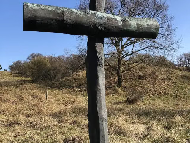
Waalsdorp '40-'45 route
2.1 km · Circular walk
± 30 minEasy
4benches and picnic tables0public toilets2water fountains and refill points
- 11
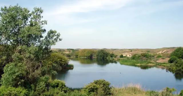
Strandroute
Beach Route
4.5 km · Circular walk
± 1:00 hEasy
18benches and picnic tables0public toilets1water point
- 12
Reeënroute
Roe Deer Route
3 km · Circular walk
± 45 minEasy
4benches and picnic tables0public toilets0water fountains and refill points

Walks per province and place
Per province the places with the most routes. The province itself has them all.
South Holland
209 routes ›- Rotterdam34 ›
- Alphen aan den Rijn31 ›
- Krimpenerwaard30 ›
- Wassenaar23 ›
- Voorne aan Zee22 ›
- Nieuwkoop22 ›
- The Hague12 ›
Frisia
117 routes ›- Súdwest-Fryslân30 ›
- Noardeast-Fryslân25 ›
- Tytsjerksteradiel17 ›
- Leeuwarden15 ›
- Weststellingwerf14 ›
- De Fryske Marren13 ›





