 Outdoor Pitstop
Walking route · Lommel · Airborne Trail Market Garden · Updated on 6 November 2026
Airbornepad Market Garden walk
Airbornepad Market Garden is a walk of 241.4 km from Lommel. Along the way you'll find 894 benches and picnic tables, 22 water fountains and refill points and 10 public toilets.
i
i
i
The route step by step
From start to finish, with what you pass along the way and the distance in between.
- 241.4 km
- ± 1:35 h per stage
- Easy per stage
- From A to B
- Regional route
Pick a stage to see the pitstops per kilometre. Along the way you'll find 894 benches and picnic tables, 22 water fountains and refill points and 10 public toilets.
Follow these steps in the appThe route with the water points, toilets and sights within 100 m of it.
33 sights along the way
In the order you pass them. With the Outdoor Pitstop app you hear their story on the spot. 25 more along the route are on the map.
Het Waalres Museum
Museum
PreHistorisch Dorp
Museum
 Audio story · 2 min
i
Photo: Lempkesfabriek · Wikimedia Commons · CC BY-SA 3.0View the photo on Wikimedia CommonsVan Abbemuseum
Museum
Wilhelminamonument
Memorial
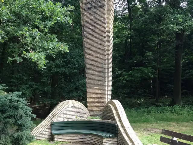
Joe Mann Monument
Memorial
 Story
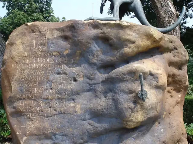
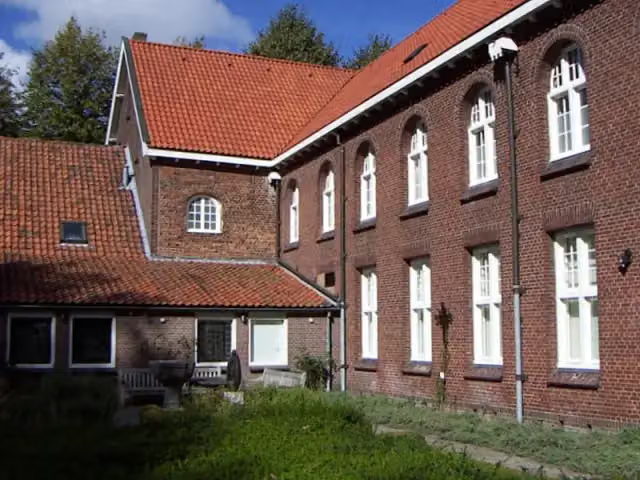
101st Airborne Memorial
Memorial
 Story
i
Photo: Strikton at Dutch Wikipedia · Wikimedia Commons · CC BY-SA 3.0View the photo on Wikimedia CommonsMuseum Krona
Museum

Stages (34)
- 1Stage 25.4 km
- 2Stage 35.2 km
- 3Stage 46.9 km
- 4Stage 55.7 km
- 5Stage 68.2 km
- 6Stage 76.2 km
- 7Stage 83.5 km
- 8Stage 8A8.5 km
- 9Stage 8B7.2 km
- 10Stage 8C7.3 km
- 11Stage 94.2 km
- 12Stage 108.3 km
- 13Stage 117.2 km
- 14Stage 129.8 km
- 15Stage 137.5 km
- 16Stage 144.3 km
- 17Stage 155.8 km
- 18Stage 164.7 km
- 19Stage 176.1 km
- 20Stage 185.7 km
- 21Stage 199.8 km
- 22Stage 208.4 km
- 23Stage 219.8 km
- 24Stage 227.2 km
- 25Stage 238.5 km
- 26Stage 247.7 km
- 27Stage 256.9 km
- 28Stage 268.9 km
- 29Stage 277.1 km
- 30Stage 287.1 km
- 31Stage 296.1 km
- 32Stage 309.5 km
- 33Stage 30A11.8 km
- 34Stage 314.9 km
Elevation and terrain
Way types
241.4 km in total- Road: 67.3 km
- Cycleway: 44.3 km
- Path: 44 km
- Track: 35.1 km
- Footpath: 25.6 km
- Street: 20.5 km
- Busy road: 2 km
- Stairs: 26 stairs
- Unknown: 250 m
Surfaces
241.4 km in total- Asphalt: 104.3 km
- Natural: 64 km
- Paved: 34.2 km
- Unpaved: 14.7 km
- Gravel: 14.3 km
- Unknown: 8.8 km
About the walking route Airbornepad Market Garden
Updated on 6 November 2026, with data from OpenStreetMap and the AHN.
Where do you walk?
Airbornepad Market Garden is a walking route of 241.4 km that starts in Lommel. It does not end where it starts. You start in Lommel and finish in Arnhem.
How hard is the route?
There are 26 flights of steps along the way. Allow ± 1:35 h per stage, without breaks. Per stage the level is easy.
What paths do you walk on?
The longest part is road (67.3 km), cycleway (44.3 km) and path (44 km). Of the surface, 104.3 km asphalt and 64 km natural. For 8.8 km the surface is not known.
Pitstops along the way
Within 100 metres of the route there are 894 benches and picnic tables, 22 water fountains and refill points and 10 public toilets. The Outdoor Pitstop app navigates you there.
Walks nearby
6Sights nearby
Within 10 km of the route, best known first.
- 1
 EvoluonAttraction · 206 m from the route
- 2
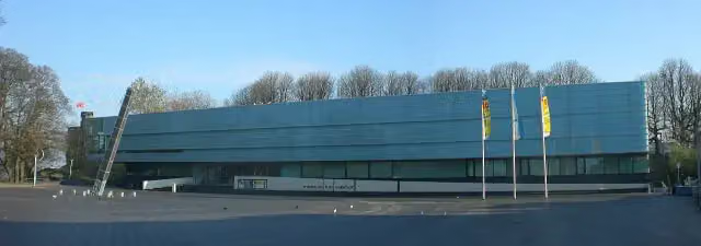 Valkhof MuseumMuseum · 154 m from the route
- 3
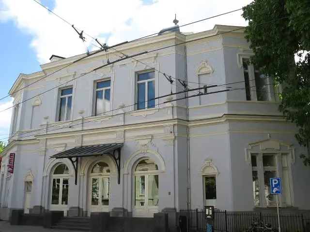 Museum ArnhemMuseum · 179 m from the route
- 4
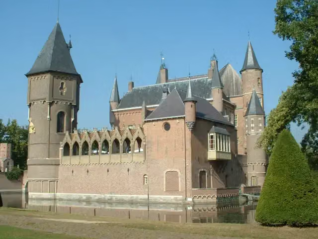 Kasteel HeeswijkCastle · 6.3 km from the route
- 5
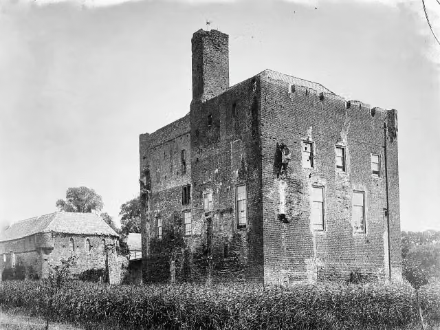 Kasteel DoornenburgAttraction · 7.8 km from the route
- 6
 Kasteel CroyCastle · 7.6 km from the route
- 7
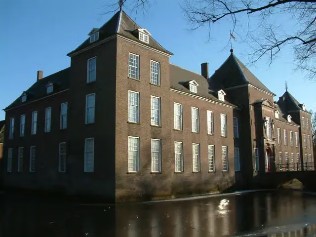 Kasteel HeezeCastle · 8.4 km from the route
- 8
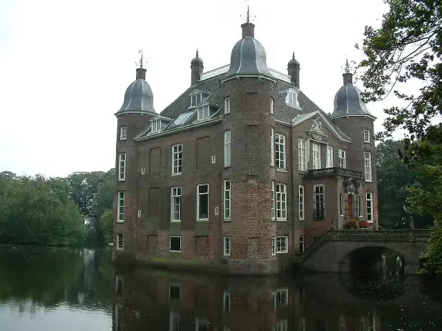 Kasteel BiljoenCastle · 7.2 km from the route
- 9
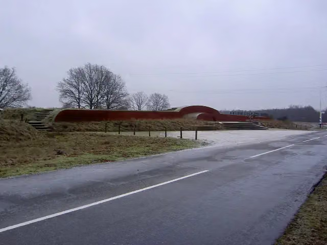 VorstengrafArchaeological site · 7.4 km from the route
- 10
 Kasteel BatenburgRuins · 9.3 km from the route
- 11
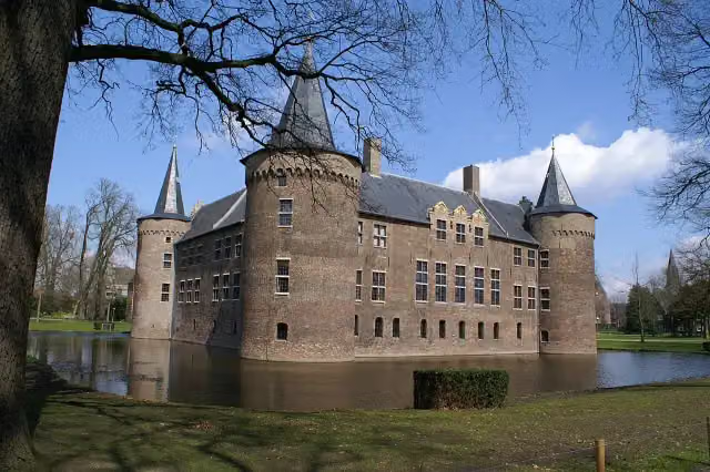 Kasteel van HelmondCastle · 9.7 km from the route
- 12
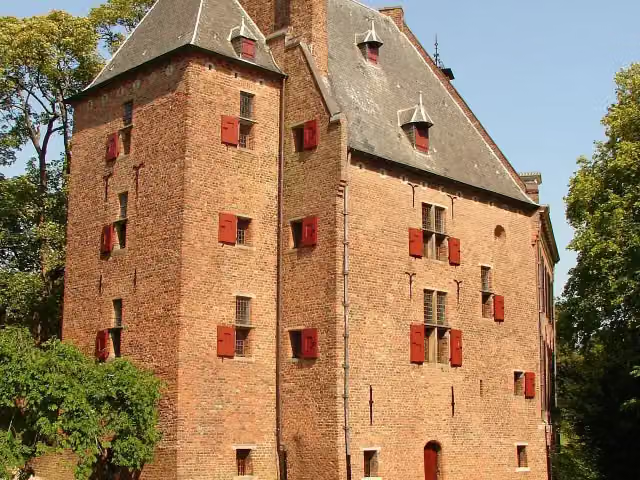 De KinkelenburgCastle · 3.6 km from the route
- 13
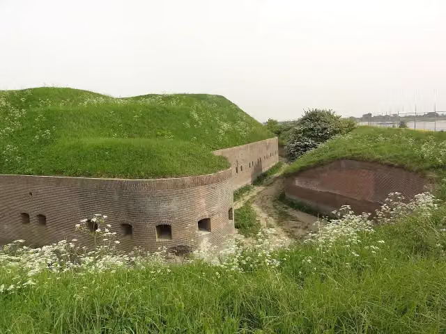 Fort PannerdenAttraction · 8.2 km from the route
- 14
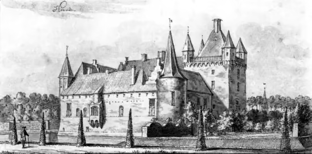 HernenCastle · 8.2 km from the route
- 15
 Castellum MeinerswijkArchaeological site · 1.5 km from the route
- 16
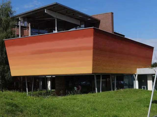 World Soil MuseumMuseum · 7.2 km from the route
- 17
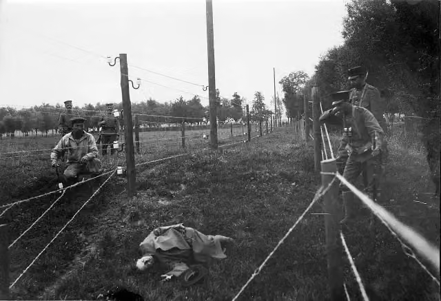 Wire of DeathMemorial · 9.7 km from the route
- 18
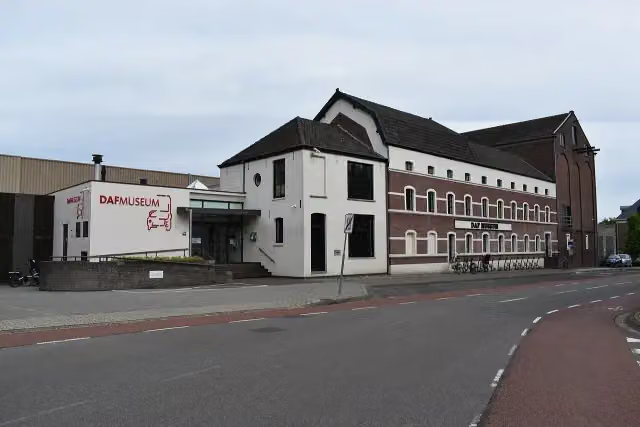 DAF MuseumMuseum · 335 m from the route
- 19
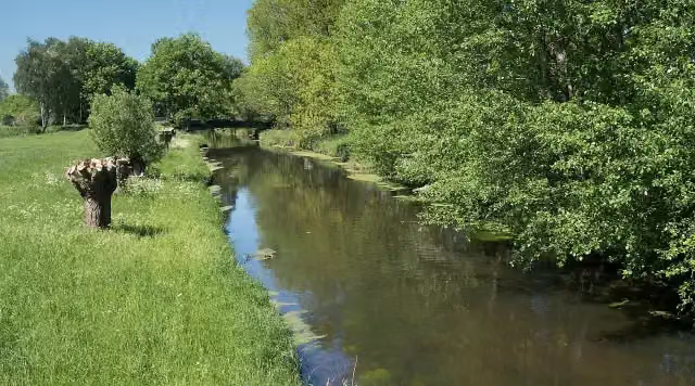 NiersmündungAttraction · 5.3 km from the route
- 20
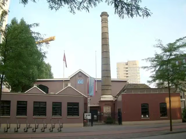 Philips MuseumMuseum · 621 m from the route
- 21
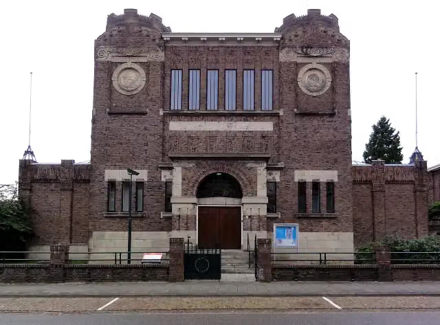 Museum KamMuseum · 437 m from the route
- 22
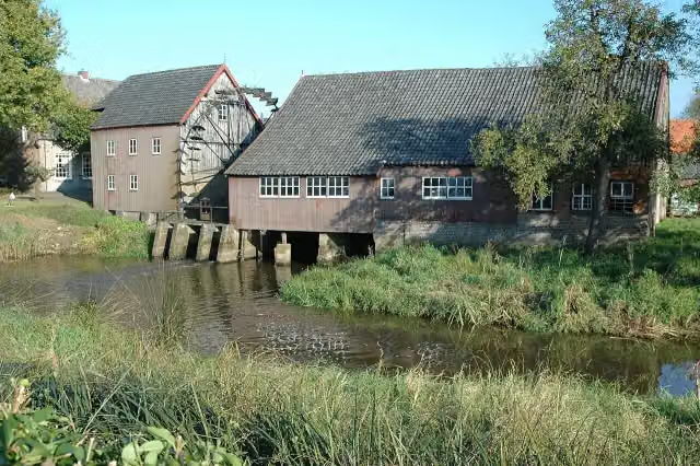 Opwettense watermolenAttraction · 1.5 km from the route
- 23
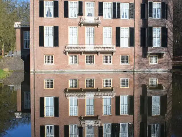 Huis ZypendaalCastle · 1.6 km from the route
- 24
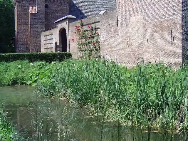 Kasteel TongelaarCastle · 4.3 km from the route
- 25
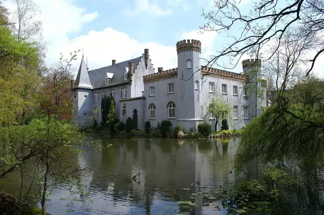 Kasteel StapelenCastle · 9.1 km from the route
Explore more
Frequently asked questions
How long is Airbornepad Market Garden?
Airbornepad Market Garden is 241.4 km long, in 34 stages of 7.1 km on average. Allow ± 1:35 h per stage of walking: 4.5 km an hour and 10 minutes more per 100 metres of climbing, without breaks.
Is this route a circular walk?
No, the route runs from Lommel to Arnhem.
Where does this route start?
The route starts in Lommel.
How hard is this route?
Easy per stage.
Are there toilets along this route?
Yes, there are 10 public toilets within 100 m of the route.
Can you fill up with water along this route?
Yes, there are 22 water fountains and refill points within 100 m of the route.
What is there to see along this route?
Along the way you pass Het Waalres Museum, Herdenkingskapel voor Brabants Gevallenen and PreHistorisch Dorp.
Starting point
More routes from this place
Route data © OpenStreetMap contributors





