 Outdoor Pitstop
Walking route · Wertheim · Updated on 14 November 2026
HW 3 - Main-Neckar-Rhein-Weg walk
HW 3 - Main-Neckar-Rhein-Weg is a walk of 559.9 km from Wertheim. Along the way you'll find 1,452 benches, 19 water fountains and refill points, 62 public toilets, 16 bike pumps and 3 honesty boxes and farm vending machines.
i
i
i
The route step by step
From start to finish, with what you pass along the way and the distance in between.
- 559.9 km
- ± 17:50 h per stage
- ↑ 11,023 m · ↓ 10,879 m
- Hard per stage
- From A to B
- National route
Start in Wertheim
0 kmAt the start: 2 public toilets and bike pump.
395 m · 12 benches

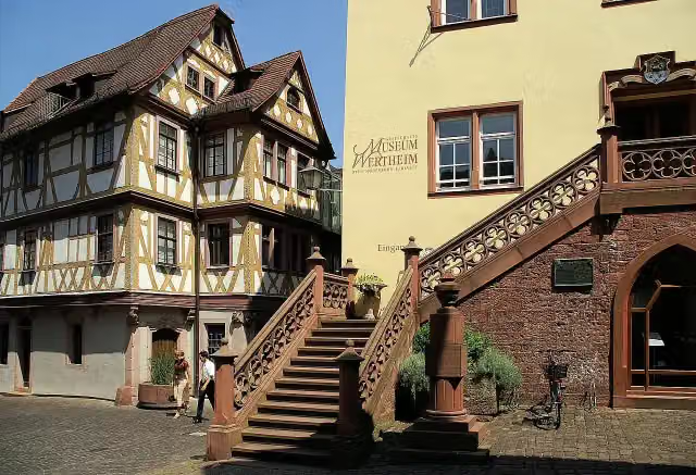
Grafschaftsmuseum Wertheim
395 m2 public toilets
231 m · 3 benches
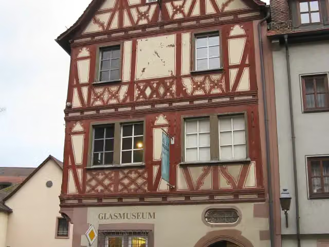
Glasmuseum and 1 more
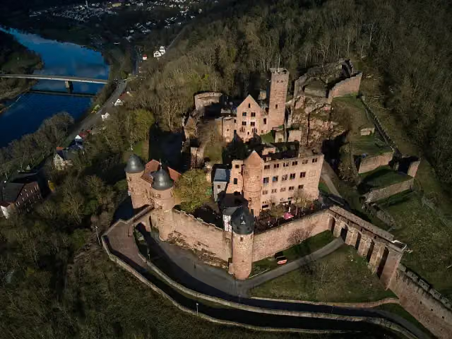
626 mBurg Wertheim and public toilet
6.3 km · 15 benches
Public toilet
6.9 km16.7 km · 20 benches
Bike pump
23.6 km224 m · 5 benches
Museum Sonnenplatz-Apotheke
23.8 kmMuseum
883 m · 6 benches
Bismarcksäule Tauberbischofsheim
24.7 kmMemorial
15.6 km · 13 benches
Schloss Sachsenflur
40.3 kmCastle
8.5 km · 11 benches
2 public toilets
48.8 km189 m · 6 benches
Residenzschloss and 2 more
49 kmDeutschordensmuseum, Schlosskirche and public toilet
607 m · 16 benches
Public toilet
49.6 km309 m · 2 benches
Public toilet and 2 water fountains and refill points
49.9 km928 m · 15 benches
Bike pump
50.8 km10.2 km · 29 benches
Public toilet
61 km214 m · bench
Tauberländer Dorfmuseum
61.2 kmPublic toilet
677 m · 4 benches
Public toilet
61.9 km3.3 km · 6 benches
Bergkirche zur Schmerzhaften Muttergottes
65.2 kmAttraction
9.2 km · 5 benches
Schloss Haltenbergstetten
74.3 kmCastle
22.6 km · bench
Grabungsmuseum Krypta Unterregenbach
96.9 kmMuseum
4 km · bench
Deutsches Automuseum Schloss Langenburg
100.9 kmPublic toilet
153 m
Carl-Julius-Weber-Gedenkstube
101.1 kmBike pump
1.4 km · 5 benches
Bike pump
102.5 km4.9 km · 5 benches
Schloss Morstein
107.4 kmCastle
9.4 km · 3 benches
Schloss Braunsbach
116.8 kmCastle
266 m · bench
Rabbinatsmuseum Braunsbach
117.1 kmBike pump
8.6 km · 5 benches
Schloss Eltershofen
125.7 kmCastle
4.5 km · 11 benches
3 public toilets
130.2 km343 m · 15 benches
Public toilet and 2 water fountains and refill points
130.5 km225 m · 12 benches
Altes Zeughaus (Neubau) and 1 more
130.7 kmHällisch-Fränkisches Museum and public toilet
3.2 km · 57 benches
Bike pump
134 km
Show the other 83 steps
1.2 km · bench
König-Karl-Turm and 1 more
135.1 kmWallfahrtskirche zu den 14 Nothelfern and public toilet
1.7 km · 19 benches
Water point
136.9 km8.1 km · 17 benches
Bike pump
145 km17.1 km · 5 benches
Hagbergturm
162.1 kmObservation tower
6.2 km · 4 benches
Hummelgautsche
168.4 kmAttraction
1.4 km · 9 benches
Bike pump
169.8 km6.6 km · 5 benches
Honesty box
176.4 km153 m
Oberes Schloss
176.5 kmCastle
334 m · 3 benches
Unteres Schloss (Alfdorf)
176.8 kmCastle
3.3 km · bench
Water point
180.1 km4.7 km · 10 benches
Observation tower
184.8 kmPublic toilet
156 m · 10 benches
Kloster Lorch
185 kmAttraction
715 m · 8 benches
Public toilet
185.7 km12.9 km · 39 benches
Kloster Adelberg
198.6 kmAttraction
27.2 km · 58 benches
Public toilet
225.8 km1.3 km · 10 benches
Sektkellerei Kessler and 2 more
227 kmAltes Rathaus, Kielmeyerhaus, 2 public toilets and water point
210 m · 3 benches
Thermometer, Barometer, Hydrometer, Entfernungstafel and 2 more
227.3 kmSchelztor, C. Deffner, 4 public toilets and water point
364 m · 8 benches
2 public toilets
227.6 km347 m · 10 benches
Pliensauturm
228 kmAttraction
3.2 km · 13 benches
Public toilet
231.2 km4.7 km · 14 benches
Public toilet
235.9 km312 m · 6 benches
Kloster Denkendorf
236.2 km2 public toilets
7.1 km · 25 benches
Sammlung Domnick
243.3 kmMuseum
2 km · bench
Ulrichstein
245.4 kmMemorial
5.6 km · 15 benches
Bike pump
250.9 km1.7 km
Bike pump
252.6 km22.1 km · 28 benches
Water point
274.7 km401 m
Water point
275.1 km513 m
Water point
275.6 km6.4 km · 20 benches
Utta Keppler
282 kmMemorial
1 km · 30 benches
Honesty box
283 km1.7 km · 28 benches
Stadtmuseum Tübingen
284.7 kmWater point
189 m · 15 benches
Museum Alte Kulturen
284.9 kmBike pump
154 m · 7 benches
Schloss Hohentübingen
285.1 kmPublic toilet and bike pump
555 m · 13 benches
Goethehäuschen
285.6 kmAttraction
868 m · 11 benches
Bismarckturm Tübingen
286.5 kmAttraction
5.7 km · 25 benches
Public toilet
292.2 km1.9 km · 39 benches
Honesty box
294.1 km3.7 km · 10 benches
2 public toilets
297.7 km237 m · bench
Diözesanmuseum
298 kmPublic toilet, water point and 3 bike pumps
863 m · 11 benches
Public toilet
298.8 km3.2 km · 4 benches
Weiler Burg and 1 more
302 kmWeiler Burg and public toilet
2.8 km · 17 benches
Public toilet
304.8 km18.6 km · 41 benches
Public toilet
323.4 km413 m · bench
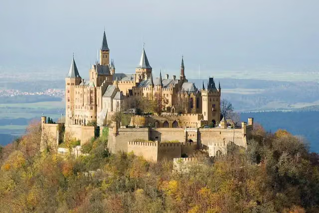
Hohenzollern Castle
323.8 km3 public toilets
2.2 km · 6 benches
Public toilet
326.1 km993 m · bench
Zeller Horn
327.1 kmViewpoint
1.6 km · 7 benches
Raichbergturm
328.7 kmObservation tower
1.2 km · 6 benches
Public toilet
330 km1.8 km · 3 benches
Blasenberg
331.8 kmViewpoint
617 m · 2 benches
Heiligenkopf
332.4 kmViewpoint
11.5 km · 32 benches
Schalksburg
344 kmObservation tower
17.8 km · 40 benches
ehemalige Burg Plettenberg
361.7 kmRuins
11.1 km · 24 benches
Lembergturm
372.9 kmObservation tower
10.9 km · 41 benches
2 public toilets
383.8 km2.6 km · 27 benches
Gewerbemuseum
386.4 kmMuseum
231 m · 4 benches
Public toilet
386.6 km4.9 km · 2 benches
Kunststiftung Hohenkarpfen
391.5 kmMuseum
5.9 km · 2 benches
Burg Hohenlupfen and 1 more
397.4 kmLupfenturm
15.7 km · 23 benches
Water point
413.1 km8.1 km · 21 benches
Aussichtsturm Wanne
421.2 kmObservation tower
1.9 km · 14 benches
Bickentor
423.1 kmAttraction
355 m · 3 benches
Oberes Tor
423.4 kmAttraction
521 m · 29 benches
Riettor
424 kmPublic toilet
252 m · 6 benches
Aussichtsturm Hubenloch
424.2 kmObservation tower
169 m · 13 benches
Public toilet
424.4 km48.5 km · 85 benches
Münster St. Jakobus
472.9 kmAttraction
334 m · 5 benches
Public toilet
473.3 km387 m · 8 benches
Water point
473.6 km1.4 km · 5 benches
Water point
475.1 km1.6 km · 9 benches
Hochfirstturm
476.7 kmObservation tower
5.1 km · 12 benches
Public toilet
481.8 km4.2 km · 7 benches
Public toilet
486 km7.5 km · 19 benches
3 public toilets
493.5 km17.6 km · 34 benches
Water point
511.1 km12.6 km · 11 benches
Water point
523.7 km2.9 km · 2 benches
Hohe-Möhr-Turm
526.6 kmObservation tower
2.3 km · 7 benches
Water point
528.9 km1.5 km · 4 benches
Steineck
530.4 kmCastle
6.3 km · bench
Eichener See
536.7 kmAttraction
8.9 km · 23 benches
Aussichtsturm Hohe Flum
545.7 kmObservation tower
14 km · 10 benches
Public toilet
559.7 km267 m · 22 benches
Finish
559.9 km
Longest stretch without a toilet: 66.1 kmBetween 493.5 km and 559.7 km there is no public toilet within 100 m of the route.
The route with the water points, toilets and sights within 100 m of it.
72 sights along the way
In the order you pass them. With the Outdoor Pitstop app you hear their story on the spot. 64 more along the route are on the map.
i
Photo: Kalif Storch · Wikimedia Commons · CC BY 3.0View the photo on Wikimedia CommonsMuseum · after 508 m
i
Photo: User: GDelhey · Wikimedia Commons · CC BY-SA 3.0View the photo on Wikimedia CommonsMuseum · after 654 m
i
Photo: Agricolax · Wikimedia Commons · CC BY-SA 4.0View the photo on Wikimedia CommonsAttraction · after 694 m
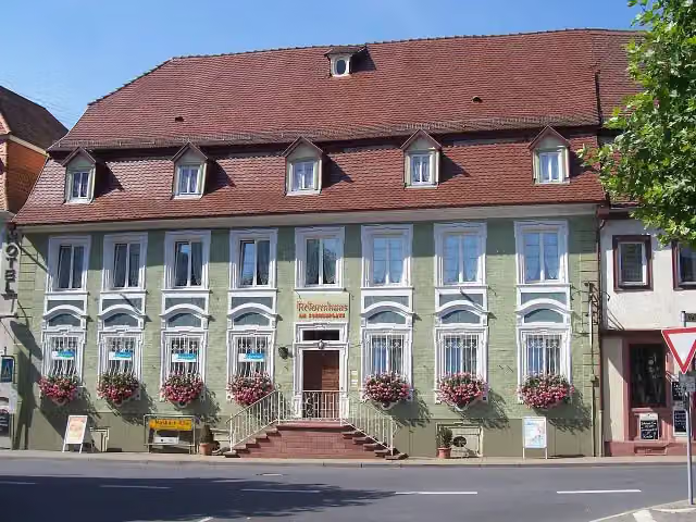
i
Photo: Andreas Keller · Wikimedia Commons · CC BY-SA 4.0View the photo on Wikimedia CommonsMuseum · after 23.8 km
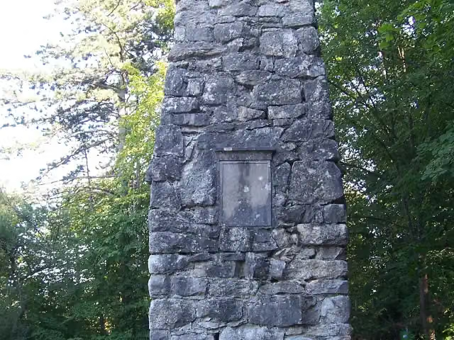
i
Photo: Andreas Keller · Wikimedia Commons · CC BY-SA 3.0View the photo on Wikimedia CommonsMemorial · after 24.7 km
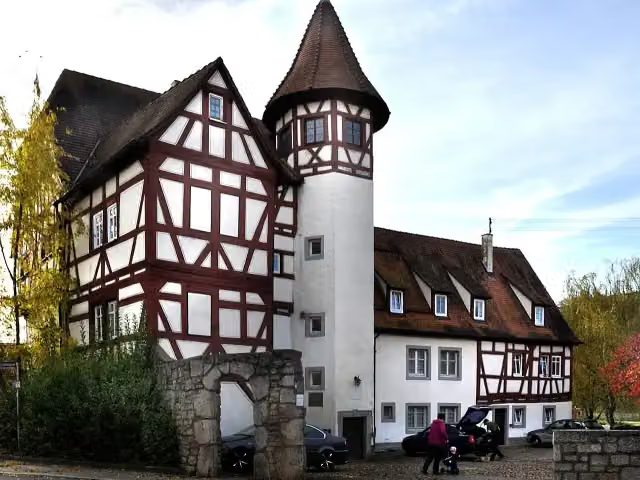
i
Photo: Holger Uwe Schmitt · Wikimedia Commons · CC BY-SA 4.0View the photo on Wikimedia CommonsCastle · after 40.3 km
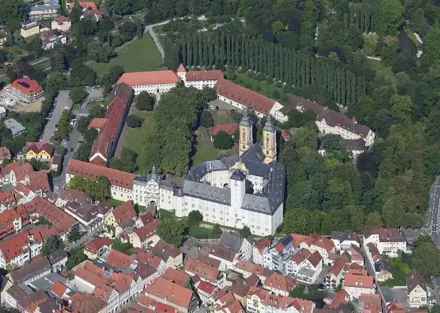
i
Photo: Carsten Steger · Wikimedia Commons · CC BY-SA 4.0View the photo on Wikimedia CommonsAttraction · after 49 km
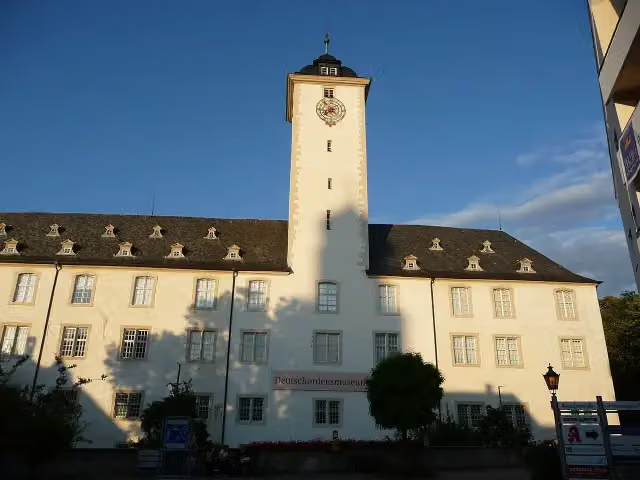
i
Photo: Immanuel Giel · Wikimedia Commons · CC BY-SA 4.0View the photo on Wikimedia CommonsMuseum · after 49.1 km
Stages (8)
Elevation and terrain
- Up
- ↑ 11,023 m
- Down
- ↓ 10,879 m
- Highest point
- 1,365 m
- Lowest point
- 141 m
- 5-10% slope · 109.7 km
- 10-15% slope · 38.6 km
- 15-20% slope · 5.3 km
- 20% slope or steeper · 756 m
- 63 stairs
Elevation from Copernicus GLO-30 (European Union and ESA), smoothed.
produced using Copernicus WorldDEM-30 © DLR e.V. 2010-2014 and © Airbus Defence and Space GmbH 2014-2018 provided under COPERNICUS by the European Union and ESA; all rights reserved
Way types
559.9 km in total- Track: 326.2 km
- Path: 89.4 km
- Street: 69.1 km
- Road: 42 km
- Footpath: 18.6 km
- Busy road: 6.8 km
- Stairs: 63 stairs
- Cycleway: 300 m
- Unknown: 650 m
Surfaces
559.9 km in total- Gravel: 156.3 km
- Asphalt: 149.3 km
- Unpaved: 64.4 km
- Natural: 24.8 km
- Paved: 19.3 km
- Unknown: 143.6 km
About the walking route HW 3 - Main-Neckar-Rhein-Weg
Updated on 14 November 2026, with data from OpenStreetMap, the AHN and Copernicus.
Where do you walk?
HW 3 - Main-Neckar-Rhein-Weg is a walking route of 559.9 km that starts in Wertheim. It does not end where it starts. Along the way you pass Grafschaftsmuseum Wertheim (after 508 m), Glasmuseum (after 654 m) and Burg Wertheim (after 694 m).
How hard is the route?
You climb 11,023 m in total and descend 10,879 m. There are 63 flights of steps along the way. Allow ± 17:50 h per stage, without breaks. Per stage the level is hard.
What paths do you walk on?
The longest part is track (326.2 km), path (89.4 km) and street (69.1 km). Of the surface, 156.3 km gravel and 149.3 km asphalt. For 143.6 km the surface is not known.
Pitstops along the way
Within 100 metres of the route there are 1,452 benches, 19 water fountains and refill points, 62 public toilets, 16 bike pumps and 3 honesty boxes and farm vending machines. The longest stretch without a toilet is 66.1 km. The Outdoor Pitstop app navigates you there.
Walks nearby
6- Odenwaldklub HW 41, Wertheim - Walldürn - BuchenHard · From A to B40.9 km
- Main-Donau-Weg (Tauber-Wörnitz-Linie) Teil 1Hard · From A to B96.2 km
- Odenwaldklub HW 18, Vier-Länder-Weg (Teilstück Michaelstadt - Wertheim)Hard · From A to B53.7 km
- Mainweg Teil 8Hard · From A to B35.1 km
- Panoramaweg TaubertalHard · From A to B134.8 km
- Jakobsweg Main-Taubertal Etappe 2Hard · From A to B16.7 km
Sights nearby
Within 10 km of the route, best known first.
- 1
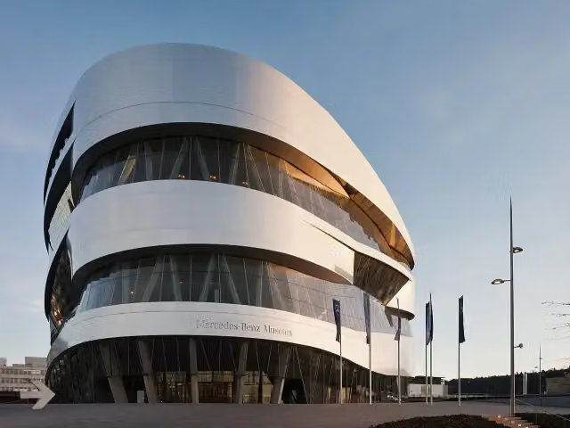 Mercedes-Benz MuseumMuseum · 7.2 km from the route
- 2
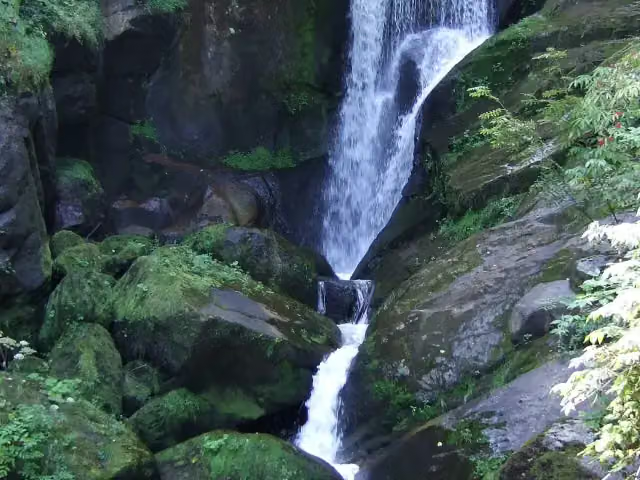 Triberger WasserfälleAttraction · 8.7 km from the route
- 3
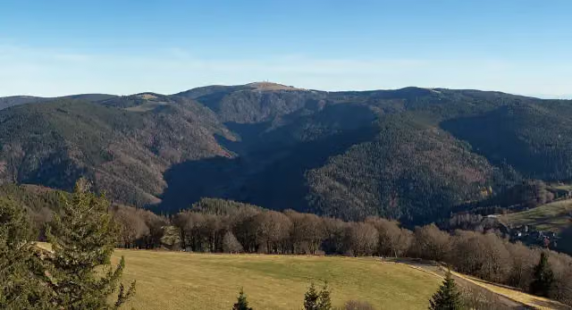 FeldbergViewpoint · 2.7 km from the route
- 4
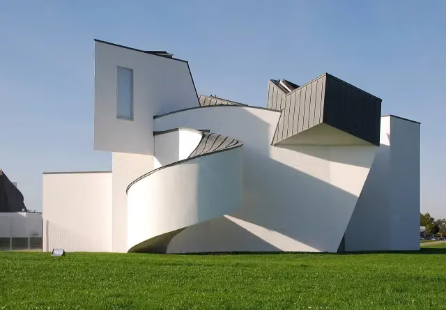 Vitra Design Museum, Frank Gehry (1989)Museum · 3.6 km from the route
- 5
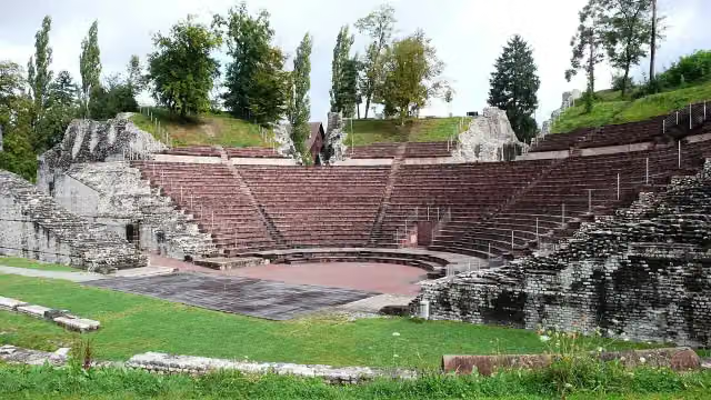 Augusta RauricaAttraction · 8.1 km from the route
- 6
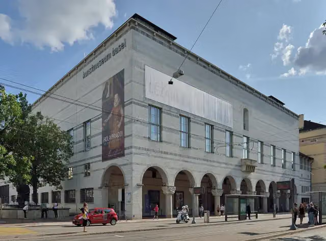 Kunstmuseum Basel | NeubauMuseum · 8.3 km from the route
- 7
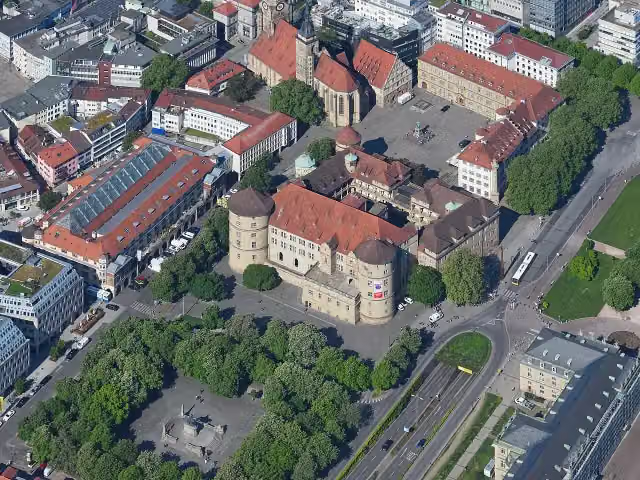 Altes SchlossCastle · 9.9 km from the route
- 8
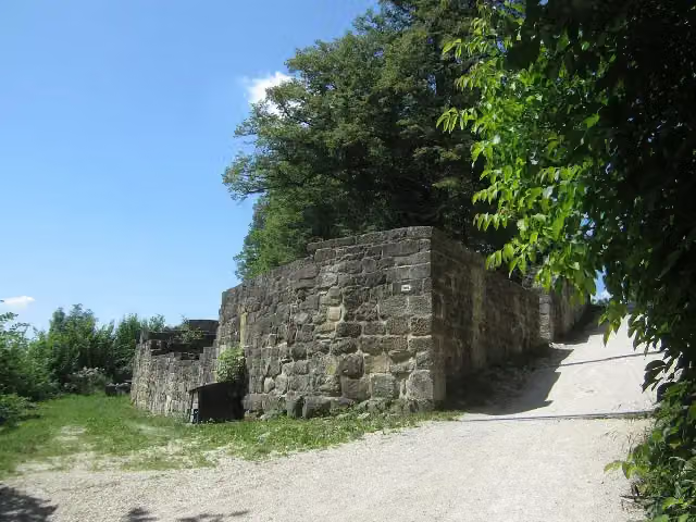 Burgruine HohenstaufenCastle · 5.8 km from the route
- 9
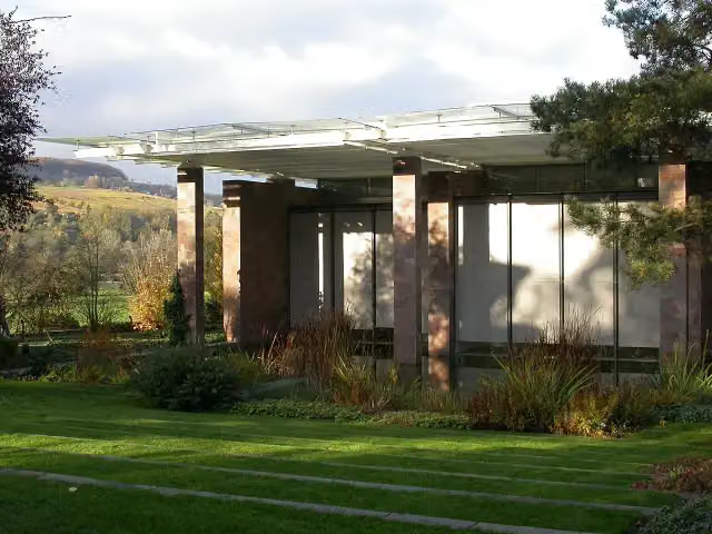 Fondation BeyelerMuseum · 2.9 km from the route
- 10
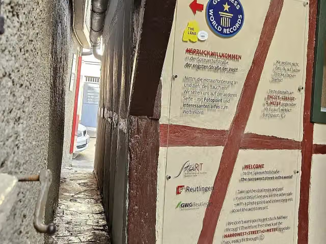 SpreuerhofstraßeAttraction · 8 km from the route
- 11
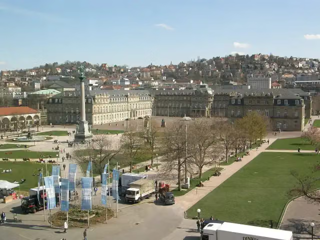 Neues SchlossCastle · 9.8 km from the route
- 12
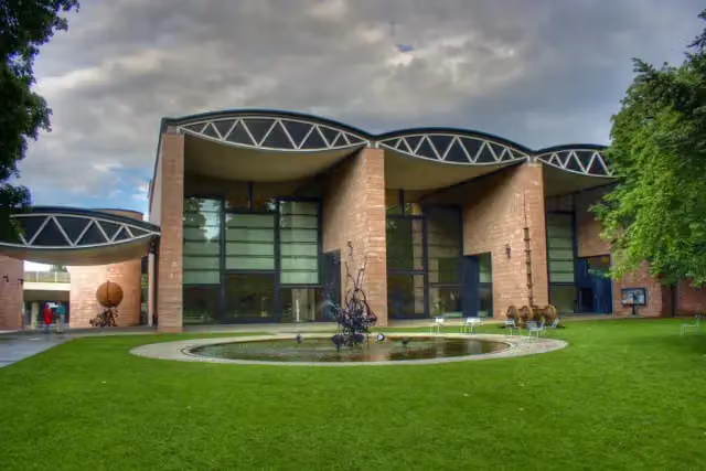 Museum TinguelyMuseum · 7.1 km from the route
- 13
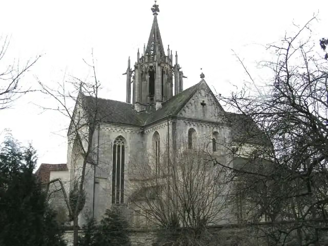 Kloster BebenhausenMuseum · 175 m from the route
- 14
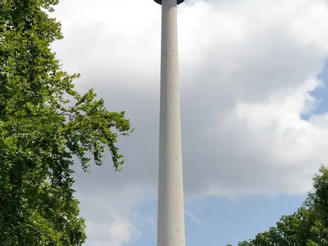 Fernsehturm StuttgartAttraction · 8.4 km from the route
- 15
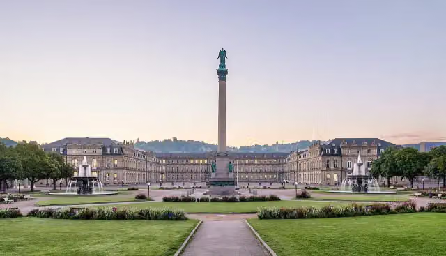 SchlossplatzAttraction · 10 km from the route
- 16
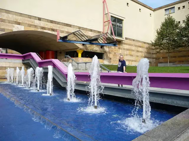 StaatsgalerieMuseum · 9.6 km from the route
- 17
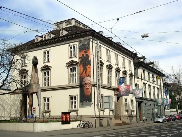 Antikenmuseum Basel und Sammlung LudwigMuseum · 8.4 km from the route
- 18
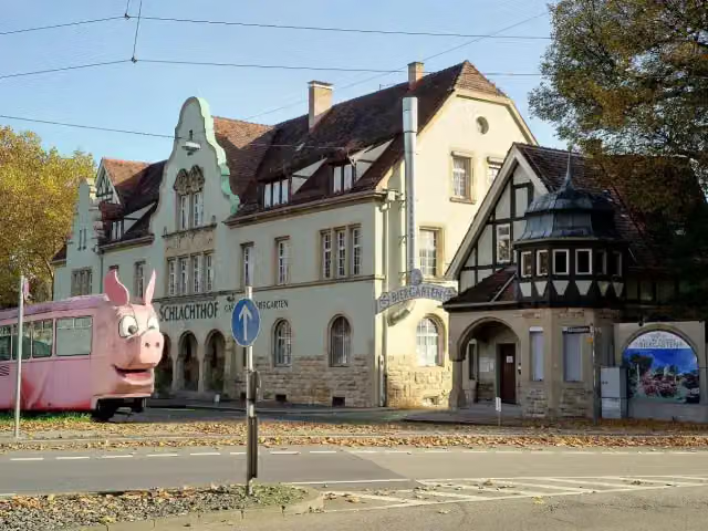 SchweinemuseumMuseum · 7.8 km from the route
- 19
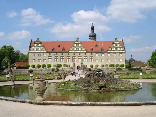 Schloss WeikersheimAttraction · 162 m from the route
- 20
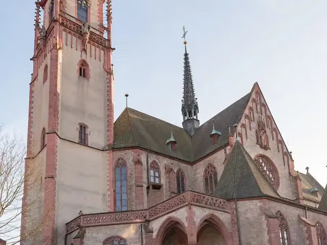 St. MartinAttraction · 210 m from the route
- 21
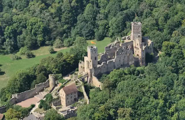 Rötteln CastleCastle · 2.6 km from the route
- 22
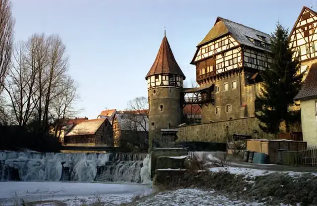 Zollernschloss BalingenCastle · 5.6 km from the route
- 23
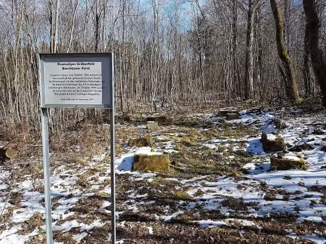 Ehemaliges Gräberfeld, Bernhäuser ForstMemorial · 6.2 km from the route
- 24
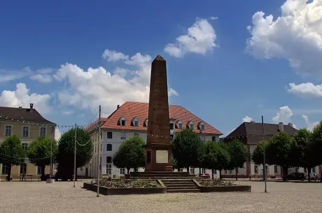 Monument du Général AbbatucciMemorial · 6.4 km from the route
- 25
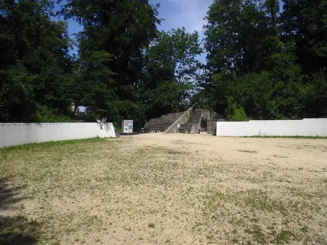 Augst AmphitheatreArchaeological site · 8.5 km from the route
Explore more
More walks around Wertheim
More nearby
Frequently asked questions
How long is HW 3 - Main-Neckar-Rhein-Weg?
HW 3 - Main-Neckar-Rhein-Weg is 559.9 km long, in 8 parts of 70 km on average. Allow ± 17:50 h per part of walking: 4.5 km an hour and 10 minutes more per 100 metres of climbing, without breaks.
Is this route a circular walk?
No, the route starts and ends at different spots.
Where does this route start?
The route starts in Wertheim.
How hard is this route?
Hard per stage, with 1,378 m per stage of climbing.
Are there toilets along this route?
Yes, there are 62 public toilets within 100 m of the route. The longest stretch without a toilet is 66.1 km.
Can you fill up with water along this route?
Yes, there are 19 water fountains and refill points within 100 m of the route.
What is there to see along this route?
Along the way you pass Grafschaftsmuseum Wertheim, Glasmuseum and Burg Wertheim.
Can I download this route as a GPX file?
Yes. Sign in with your Outdoor Pitstop account and choose Download GPX at the top of this page: 10 routes a month for free, unlimited with Pro.
Starting point
More routes from this place
Route data © OpenStreetMap contributors





