 Outdoor Pitstop
Walking route · Titisee-Neustadt · Updated on 14 November 2026
Main-Neckar-Rhein-Weg walk
Main-Neckar-Rhein-Weg is a walk of 94.6 km from Titisee-Neustadt. Along the way you'll find 192 benches, 5 water fountains and refill points and 7 public toilets.
i
i
The route step by step
From start to finish, with what you pass along the way and the distance in between.
- 94.6 km
- ± 24:25 h
- ↑ 2,046 m · ↓ 2,838 m
- Hard
- From A to B
- National route
Start in Titisee-Neustadt
0 km7.6 km · 13 benches

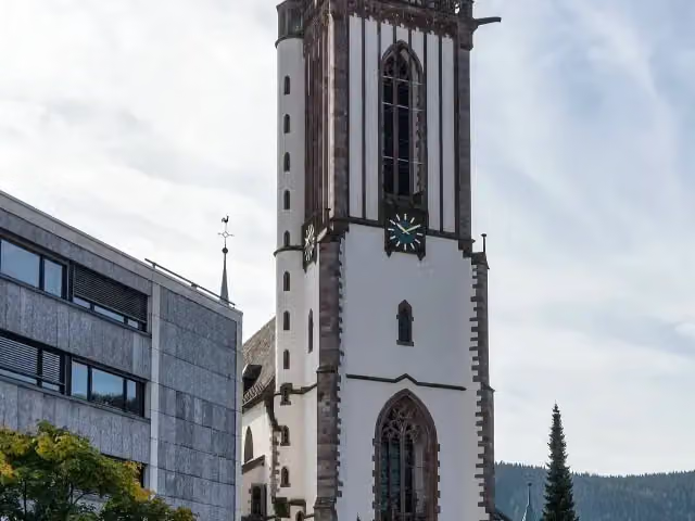
Münster St. Jakobus
7.6 kmAttraction
334 m · 5 benches
Public toilet
8 km387 m · 8 benches
Water point
8.3 km1.4 km · 5 benches
Water point
9.8 km1.6 km · 9 benches
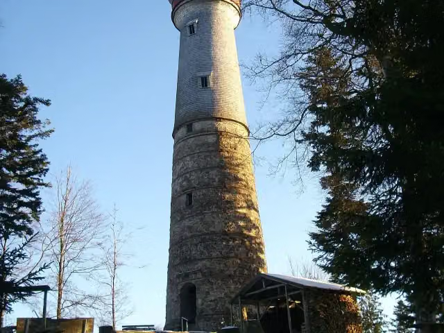
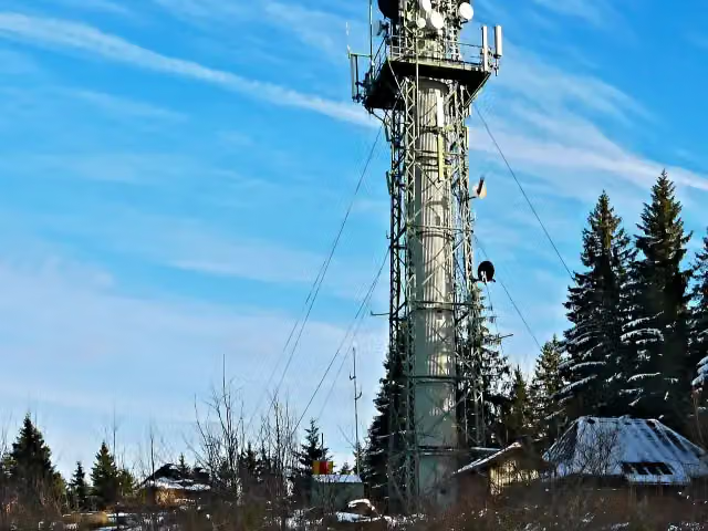
Hochfirstturm
11.4 kmObservation tower
5.1 km · 12 benches
Public toilet
16.5 km4.2 km · 7 benches
Public toilet
20.7 km7.5 km · 19 benches
3 public toilets
28.2 km17.6 km · 34 benches
Water point
45.8 km12.6 km · 11 benches
Water point
58.4 km2.9 km · 2 benches
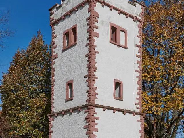
Hohe-Möhr-Turm
61.3 kmObservation tower
2.3 km · 7 benches
Water point
63.6 km1.5 km · 4 benches
Steineck
65.1 kmCastle
6.3 km · bench
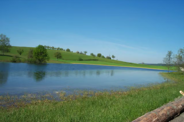
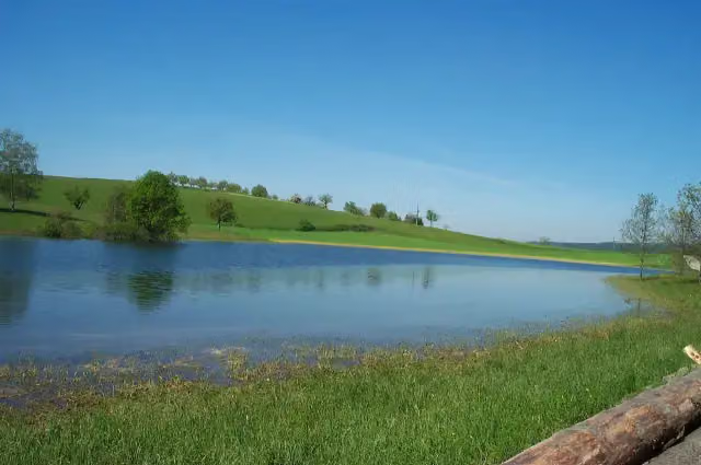
Eichener See
71.4 kmAttraction
8.9 km · 23 benches
Aussichtsturm Hohe Flum
80.4 kmObservation tower
14 km · 10 benches
Public toilet
94.4 km267 m · 22 benches
Finish
94.6 km
Longest stretch without a toilet: 66.1 kmBetween 28.3 km and 94.4 km there is no public toilet within 100 m of the route.
The route with the pitstops and sights within 100 m of it.
6 sights along the way
In the order you pass them. With the Outdoor Pitstop app you hear their story on the spot.
i
Photo: joergens.mi · Wikimedia Commons · CC BY-SA 3.0View the photo on Wikimedia CommonsAttraction · after 7.6 km
i
Photo: BonMichel · Wikimedia Commons · CC BY-SA 3.0View the photo on Wikimedia CommonsObservation tower · after 11.4 km
Observation tower · after 61.3 km

Castle · after 65.1 km
i
Photo: Michael Trefzer · Wikimedia Commons · Copyrighted free useView the photo on Wikimedia CommonsAttraction · after 71.4 km
i
Photo: Wladyslaw Sojka · Wikimedia Commons · FALView the photo on Wikimedia CommonsObservation tower · after 80.4 km
Elevation and terrain
- Up
- ↑ 2,046 m
- Down
- ↓ 2,838 m
- Highest point
- 1,365 m
- Lowest point
- 298 m
- 5-10% slope · 26.2 km
- 10-15% slope · 14.3 km
- 15-20% slope · 1.4 km
- 5 stairs
Elevation from Copernicus GLO-30 (European Union and ESA), smoothed.
produced using Copernicus WorldDEM-30 © DLR e.V. 2010-2014 and © Airbus Defence and Space GmbH 2014-2018 provided under COPERNICUS by the European Union and ESA; all rights reserved
Way types
94.6 km in total- Track: 67.7 km
- Path: 16.6 km
- Street: 7.1 km
- Road: 1.8 km
- Stairs: 5 stairs
- Footpath: 325 m
- Busy road: 325 m
Surfaces
94.6 km in total- Gravel: 44.2 km
- Unpaved: 14.4 km
- Asphalt: 13.5 km
- Paved: 2.2 km
- Natural: 2.1 km
- Unknown: 18 km
About the walking route Main-Neckar-Rhein-Weg
Updated on 14 November 2026, with data from OpenStreetMap, the AHN and Copernicus.
Where do you walk?
Main-Neckar-Rhein-Weg is a walking route of 94.6 km that starts in Titisee-Neustadt. It does not end where it starts. Along the way you pass Münster St. Jakobus (after 7.6 km), Hochfirstturm (after 11.4 km) and Hohe-Möhr-Turm (after 61.3 km).
How hard is the route?
You climb 2,046 m in total and descend 2,838 m. There are 5 flights of steps along the way. Allow ± 24:25 h, without breaks. The level is hard.
What paths do you walk on?
The longest part is track (67.7 km), path (16.6 km) and street (7.1 km). Of the surface, 44.2 km gravel and 14.4 km unpaved. For 18 km the surface is not known.
Pitstops along the way
Within 100 metres of the route there are 192 benches, 5 water fountains and refill points and 7 public toilets. You can fill your bottle after 8.3 km, after 9.8 km, after 45.8 km, after 58.4 km and after 63.6 km. The longest stretch without a toilet is 66.1 km. The Outdoor Pitstop app navigates you there.
Part of HW 3 - Main-Neckar-Rhein-Weg
Website of the routeWalks nearby
6- Main-Neckar-Rhein-WegHard · From A to B73.9 km
- MittelwegHard · From A to B184.9 km
- Himmelreich-JakobuswegHard · From A to B188.8 km
- Hochschwarzwald-JakobuswegHard · From A to B59.5 km
- Westweg [09. Kalte Herberge→Titisee]Hard · From A to B20.5 km
- European Long distance path E1 - part Germany, Baden-Wuerttemberg (region Schwarzwald centre)Hard · From A to B120.4 km
Sights nearby
Within 10 km of the route, best known first.
- 1
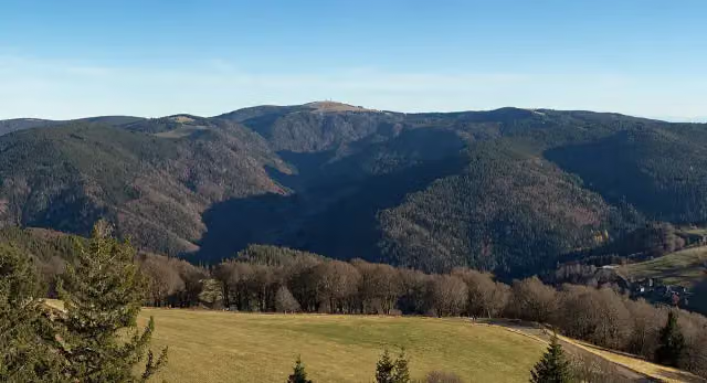 FeldbergViewpoint · 2.7 km from the route
- 2
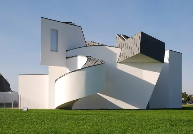 Vitra Design Museum, Frank Gehry (1989)Museum · 3.6 km from the route
- 3
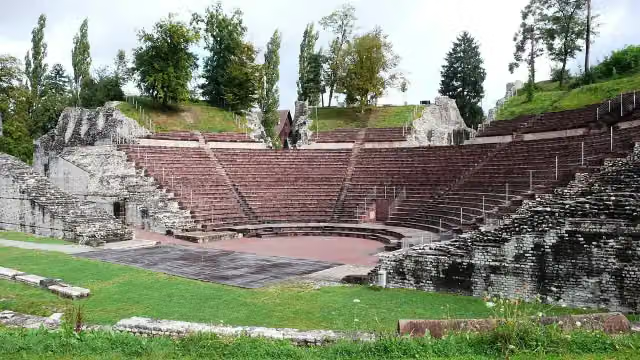 Augusta RauricaAttraction · 8.1 km from the route
- 4
 Kunstmuseum Basel | NeubauMuseum · 8.3 km from the route
- 5
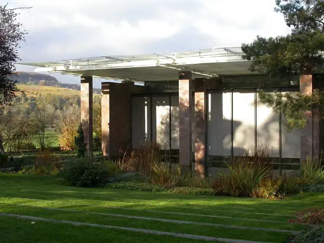 Fondation BeyelerMuseum · 2.9 km from the route
- 6
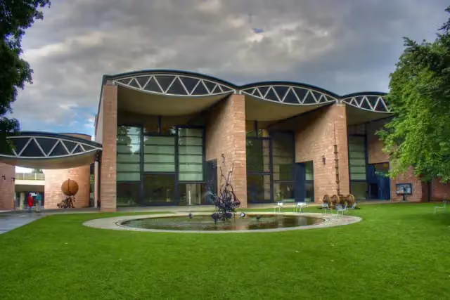 Museum TinguelyMuseum · 7.1 km from the route
- 7
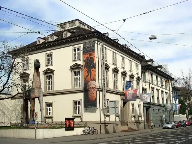 Antikenmuseum Basel und Sammlung LudwigMuseum · 8.4 km from the route
- 8
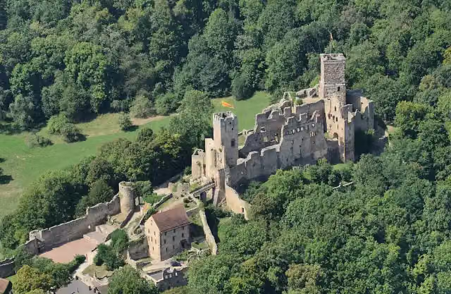 Rötteln CastleCastle · 2.6 km from the route
- 9
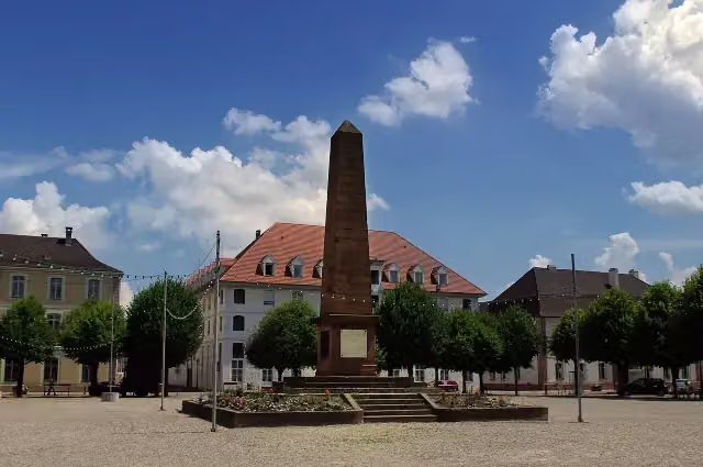 Monument du Général AbbatucciMemorial · 6.4 km from the route
- 10
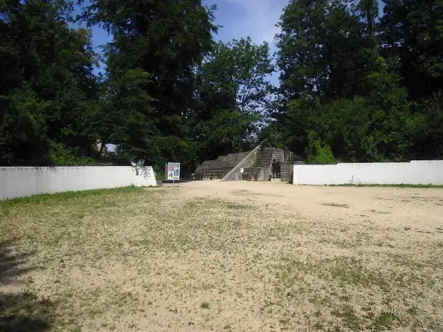 Augst AmphitheatreArchaeological site · 8.5 km from the route
- 11
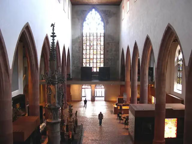 Basel Historical Museum – BarfüsserkircheMuseum · 8.5 km from the route
- 12
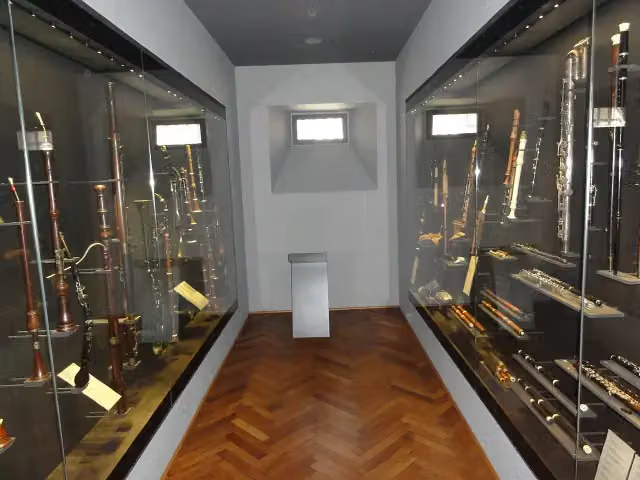 Basel Historical Museum – MusikmuseumMuseum · 8.6 km from the route
- 13
 PantheonMuseum · 8.7 km from the route
- 14
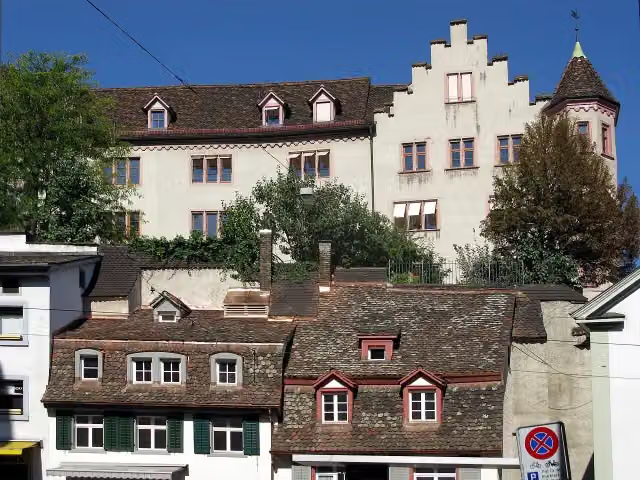 Medieval city wall tower in BaselArchaeological site · 8.7 km from the route
- 15
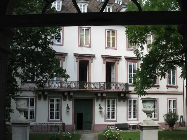 Basel Historical Museum – Haus zum KirschgartenMuseum · 8.7 km from the route
- 16
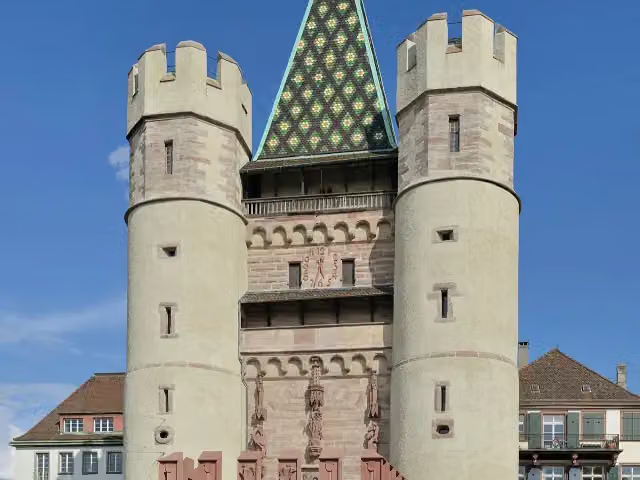 SpalentorAttraction · 8.7 km from the route
- 17
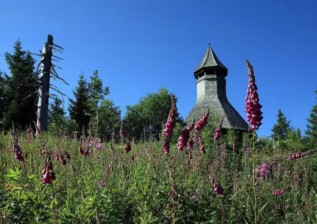 HochkopfturmObservation tower · 211 m from the route
- 18
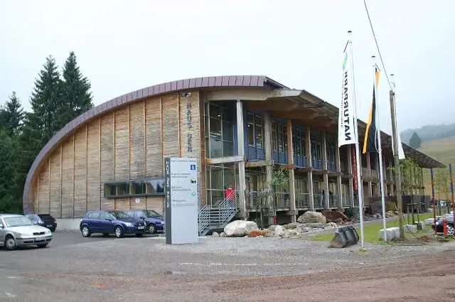 Haus der NaturMuseum · 494 m from the route
- 19
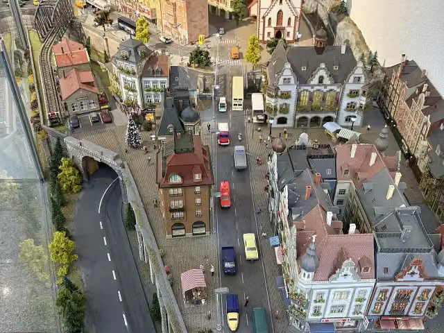 Märklin World TitiseeMuseum · 520 m from the route
- 20
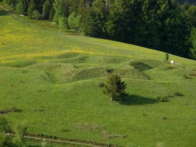 BarockschanzeArchaeological site · 551 m from the route
- 21
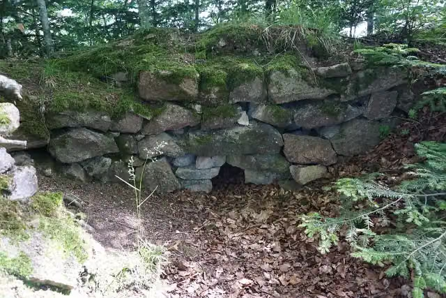 BurgholzCastle · 634 m from the route
- 22
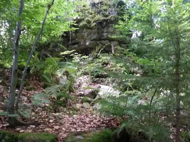 TurmhölzleCastle · 977 m from the route
- 23
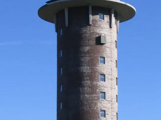 FeldbergturmObservation tower · 1.1 km from the route
- 24
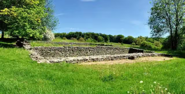 RömervillaArchaeological site · 1.1 km from the route
- 25
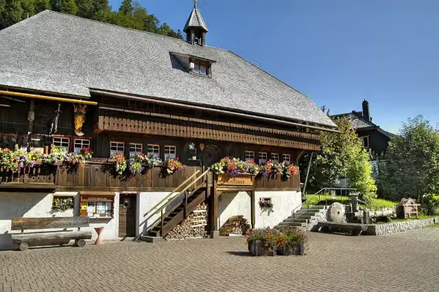 Heimatmuseum HäusleMuseum · 1.9 km from the route
Explore more
More walks around Titisee-Neustadt
Frequently asked questions
How long is Main-Neckar-Rhein-Weg?
Main-Neckar-Rhein-Weg is 94.6 km long. Allow ± 24:25 h of walking: 4.5 km an hour and 10 minutes more per 100 metres of climbing, without breaks.
Is this route a circular walk?
No, the route starts and ends at different spots.
Where does this route start?
The route starts in Titisee-Neustadt.
How hard is this route?
Hard, with 2,046 m of climbing.
Are there toilets along this route?
Yes, there are 7 public toilets within 100 m of the route. The longest stretch without a toilet is 66.1 km.
Can you fill up with water along this route?
Yes, there are 5 water fountains and refill points within 100 m of the route.
What is there to see along this route?
Along the way you pass Münster St. Jakobus, Hochfirstturm and Hohe-Möhr-Turm.
Can I download this route as a GPX file?
Yes. Sign in with your Outdoor Pitstop account and choose Download GPX at the top of this page: 10 routes a month for free, unlimited with Pro.
Starting point
More routes from this place
Route data © OpenStreetMap contributors





