 Outdoor Pitstop
Walking guide Breda · Updated on 5 November 2026
The best walks in Breda
Breda has 27 walks on the Outdoor Pitstop map. The 10 best are 20.2 km long on average. Along the way you'll find 622 benches and picnic tables, 26 water fountains and refill points and 23 public toilets in total.
i
i
i
The 10 best walks in Breda
The best walking route in Breda by our score is Dwars door Brabant - 5: 16.5 km, from A to B, start Breda, moderate.
In the order of our score: a photo, points of interest along the way, a toilet or water point, a circular walk, a description and how often people search for the route.
The numbers on the map are the routes below, at their starting point. Pitstops count up to 100 m from the route. Walking time assumes 4.5 km an hour plus 10 minutes per 100 m of ascent.
- 1
i
Photo: G.Lanting · Wikimedia Commons · CC BY 4.0View the photo on Wikimedia CommonsDwars door Brabant - 5
ModerateAcross Brabant - 5
16.5 km · ± 3:40 h · ↗ 3 m · From A to B · start Breda
2 public toilets1 water point40 benches and picnic tables
- 2
i
Photo: G.Lanting · Wikimedia Commons · CC BY 3.0View the photo on Wikimedia CommonsBorderland Trail - 20 - Branch Landgoed Valkenberg-Breda station
12.1 km · ± 2:40 h · From A to B · start Alphen-Chaam
6 public toilets2 water fountains and refill points99 benches and picnic tables
- 3
i
Photo: MichielverbeekNL · Wikimedia Commons · CC BY-SA 3.0 nlView the photo on Wikimedia CommonsDwars door Brabant - 4
ModerateAcross Brabant - 4
12.9 km · ± 2:55 h · ↗ 3 m · From A to B · start Etten-Leur
2 public toilets3 water fountains and refill points39 benches and picnic tables
- 4
i
Photo: Renée Kools · Wikimedia Commons · CC BY 4.0View the photo on Wikimedia CommonsOrange-Nassau Trail stage 6: Breda-Ulvenhout
18.2 km · ± 4:05 h · ↗ 6 m · From A to B · start Breda
4 public toilets5 water fountains and refill points114 benches and picnic tables
- 5
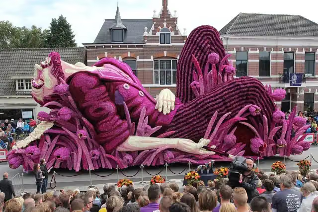
i
Photo: Stichting Bloemencorso Zundert · Wikimedia Commons · CC BY 4.0View the photo on Wikimedia CommonsVia Tenera
Hard31.6 km · ± 7:00 h · ↗ 6 m · From A to B · start Kalmthout
2 public toilets3 water fountains and refill points71 benches and picnic tables
- 6
i
Photo: G.Lanting · Wikimedia Commons · CC BY 3.0View the photo on Wikimedia Commons28.2 km · ± 6:15 h · ↗ 3 m · From A to B · start Breda
3 public toilets4 water fountains and refill points64 benches and picnic tables
- 7
i
Photo: Stichting Bloemencorso Zundert · Wikimedia Commons · CC BY 4.0View the photo on Wikimedia Commons31.6 km · ± 7:00 h · ↗ 15 m · From A to B · start Hoogstraten
2 public toilets3 water fountains and refill points71 benches and picnic tables
- 8
i
Photo: G.Lanting · Wikimedia Commons · CC BY 3.0View the photo on Wikimedia Commons23.9 km · ± 5:20 h · From A to B · start Baarle-Nassau
2 public toilets1 water point56 benches and picnic tables
- 9
i
Photo: G.Lanting · Wikimedia Commons · CC BY-SA 3.0View the photo on Wikimedia CommonsOrange-Nassau Trail stage 5: Rijen-Breda
18.7 km · ± 4:10 h · From A to B · start Gilze en Rijen
0 public toilets4 water fountains and refill points43 benches and picnic tables
- 10
i
Photo: Ralf Roletschek (talk) - Fahrradtechnik auf fahrradmonteur.de · Wikimedia Commons · FALView the photo on Wikimedia CommonsBorder Dyke Trail - 8 - Oosterhout - Breda
8.3 km · ± 1:50 h · From A to B · start Oosterhout
0 public toilets0 water fountains and refill points25 benches and picnic tables
All 7 walks from Breda, A to Z
- Camino Brabant - R11: Breda-Kaatsheuvel
- Dwars door Brabant - 5 · Across Brabant - 5
- Geel · Yellow
- Oranje-Nassaupad etappe 6: Breda-Ulvenhout · Orange-Nassau Trail stage 6: Breda-Ulvenhout
- SBB Rondwandeling (blauw) · SBB circular walk (blue)
- SBB Rondwandeling (geel) · SBB circular walk (yellow)
- SBB Rondwandeling (rood) · SBB circular walk (red)
Long-distance paths through Breda
Walks of several days, in stages.
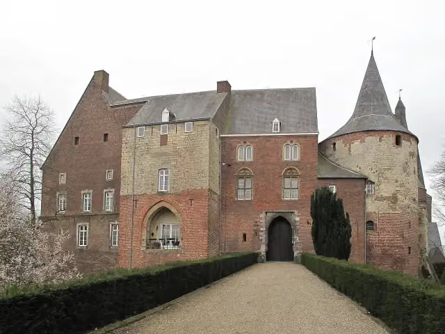
i
Photo: Michielverbeek · Wikimedia Commons · CC BY-SA 3.0 nlView the photo on Wikimedia Commonsi
Photo: Stichting Bloemencorso Zundert · Wikimedia Commons · CC BY 4.0View the photo on Wikimedia CommonsVia Brabantica
53.9 km · From A to B
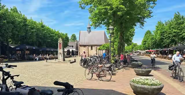
i
Photo: Kempenmen · Wikimedia Commons · CC BY-SA 4.0View the photo on Wikimedia Commons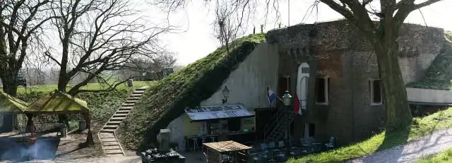
i
Photo: JHGS · Wikimedia Commons · CC BY-SA 3.0 nlView the photo on Wikimedia Commons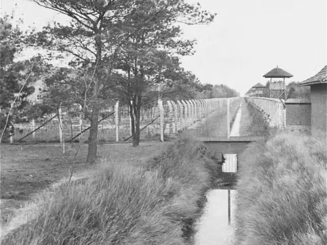
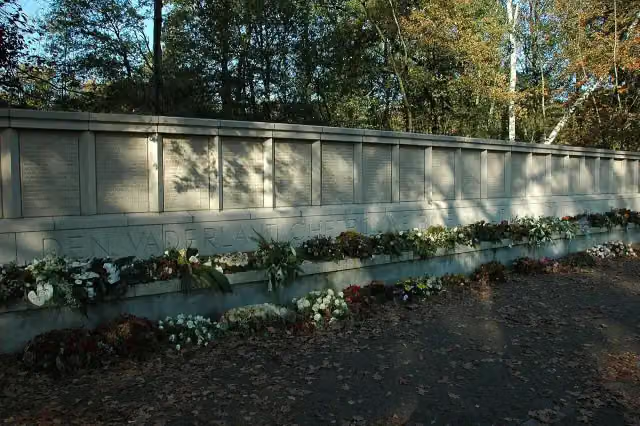
i
Photo: P.H. Louw · Wikimedia Commons · CC BY-SA 3.0View the photo on Wikimedia Commons
Points of interest along the walks
Along the 10 best walks.
- Audio story · 2 min
i
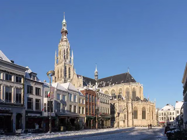
Photo: MichielverbeekNL · Wikimedia Commons · CC BY-SA 3.0 nlView the photo on Wikimedia CommonsGrote Kerk
Attraction · along 8 walks
Begijnhof
Attraction · along 4 walks
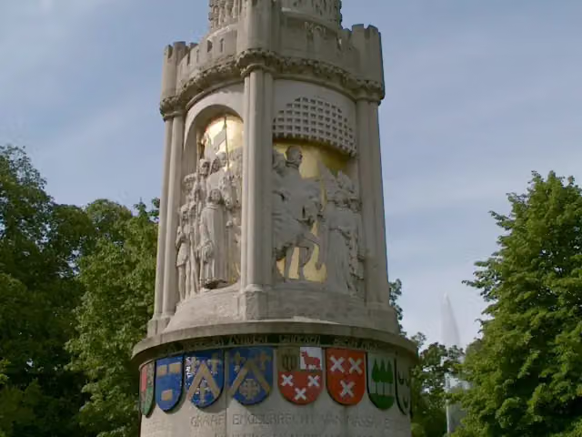
Baroniemonument
Memorial · along 3 walks
Judith met het hoofd van Holofernes
Memorial · along 3 walks
- Story
i
Photo: Stichting Bloemencorso Zundert · Wikimedia Commons · CC BY 4.0View the photo on Wikimedia CommonsBloemencorso
Attraction · along 2 walks
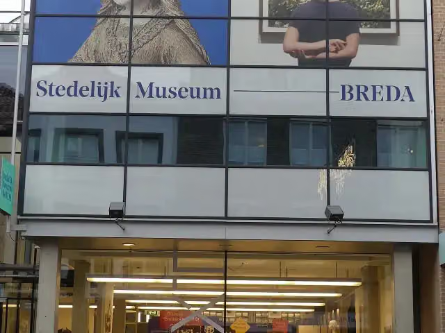
Stedelijk Museum Breda
Museum · along 1 walk
- Audio story · 2 min
i
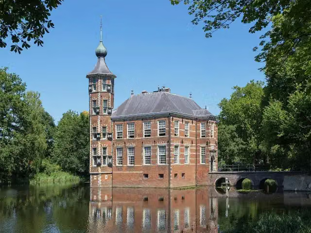
Photo: Renée Kools · Wikimedia Commons · CC BY 4.0View the photo on Wikimedia CommonsKasteel Bouvigne
Castle · along 1 walk
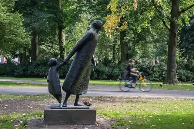
i
Photo: Hkjansen · Wikimedia Commons · CC BY-SA 3.0 nlView the photo on Wikimedia CommonsMemorial · along 3 walks
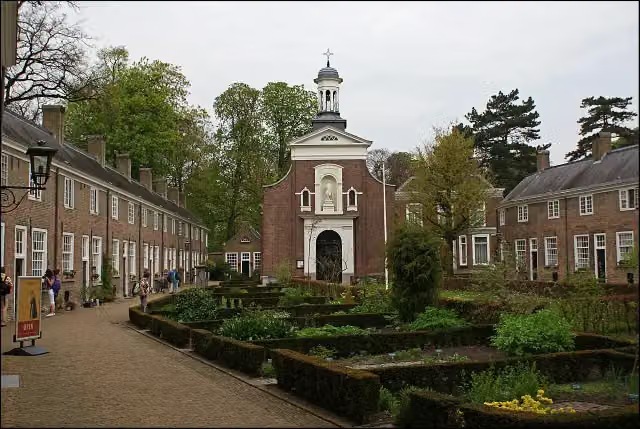
Walks per place in North Brabant
52 places have their own guide.
- 's-Hertogenbosch50 ›
- Alphen-Chaam23 ›
- Altena24 ›
- Baarle-Nassau10 ›
- Bergeijk35 ›
- Bergen op Zoom32 ›
- Bernheze15 ›
- Best11 ›
- Bladel14 ›
- Boekel5 ›
- Boxtel37 ›
- Cranendonck14 ›
- Deurne8 ›
- Dongen12 ›
- Drimmelen9 ›
- Eersel24 ›
- Eindhoven40 ›
- Etten-Leur8 ›
- Geldrop-Mierlo11 ›
- Gemert-Bakel16 ›
- Gilze en Rijen20 ›
- Goirle11 ›
- Halderberge5 ›
- Heeze-Leende30 ›
- Helmond14 ›
- Heusden28 ›
- Hilvarenbeek12 ›
- Laarbeek11 ›
- Land van Cuijk34 ›
- Loon op Zand15 ›
- Maashorst16 ›
- Meierijstad33 ›
- Moerdijk14 ›
- Nuenen c.a.16 ›
- Oirschot18 ›
- Oisterwijk39 ›
- Oosterhout19 ›
- Oss20 ›
- Reusel-De Mierden10 ›
- Roosendaal14 ›
- Sint-Michielsgestel26 ›
- Someren12 ›
- Son en Breugel23 ›
- Steenbergen20 ›
- Tilburg28 ›
- Valkenswaard30 ›
- Veldhoven12 ›
- Vught27 ›
- Waalre18 ›
- Waalwijk13 ›
- Woensdrecht30 ›
- Zundert8 ›
Explore further
Frequently asked questions
How many walks are there in Breda?
The Outdoor Pitstop map has 27 walks in Breda, including 8 long-distance paths in stages.
What is the best walk in Breda?
At the top of this guide is Dwars door Brabant - 5 (16.5 km, moderate). Next come Grenslandpad - 20 - Aftakking Landgoed Valkenberg-Breda station and Dwars door Brabant - 4.
Which walks in Breda have a toilet along the way?
In this guide, Dwars door Brabant - 5, Grenslandpad - 20 - Aftakking Landgoed Valkenberg-Breda station and Dwars door Brabant - 4 have a public toilet along the route.
Which long-distance paths run through Breda?
Among others Dwars door Brabant, Via Brabantica, Grenslandpad (Hoofdroute) and Zuiderwaterliniepad run through this area.
Popular nearby
Guides of places nearby





