 Outdoor Pitstop
Walking guide Alphen-Chaam · Updated on 5 November 2026
The best walks in Alphen-Chaam
Alphen-Chaam has 23 walks on the Outdoor Pitstop map. The 10 best are 25.5 km long on average; 1 of them is a circular walk. Along the way you find 605 benches and picnic tables, 24 water fountains and refill points and 14 public toilets in total.
i
i
i
The 10 best walks
In the order of our score: a photo, points of interest along the way, a toilet or water point, a circular walk, a description and how often people search for the route.
The best walking route in Alphen-Chaam is Grenslandpad - 20 - Aftakking Landgoed Valkenberg-Breda station (12.1 km, moderate).
The numbers on the map are the routes below, at their starting point. Pitstops count up to 100 m from the route. Walking time assumes 4.5 km an hour plus 10 minutes per 100 m of ascent.
- 1
i
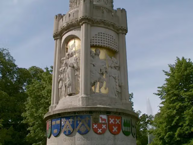
Photo: G.Lanting · Wikimedia Commons · CC BY 3.0View the photo on Wikimedia CommonsBorderland Trail - 20 - Branch Landgoed Valkenberg-Breda station
12.1 km · ± 2:40 h · From A to B · start Alphen-Chaam
6 public toilets2 water fountains and refill points99 benches and picnic tables
- 2
i
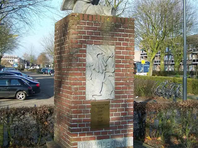
Photo: Brbbl · Wikimedia Commons · CC BY-SA 3.0View the photo on Wikimedia CommonsBorderland Trail - 21 - Branch Alphen-Baarle-Nassau
6.3 km · ± 1:25 h · From A to B · start Baarle-Hertog
0 public toilets1 water point32 benches and picnic tables
- 3
i
Photo: Brbbl · Wikimedia Commons · CC BY-SA 3.0View the photo on Wikimedia CommonsRegional GR Noorderkempen
69.8 km · ± 15:30 h · Circular walk · start Hoogstraten
0 public toilets1 water point69 benches and picnic tables
- 4
i
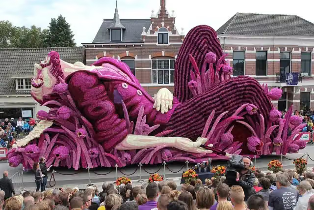
Photo: Stichting Bloemencorso Zundert · Wikimedia Commons · CC BY 4.0View the photo on Wikimedia CommonsVia Tenera
Hard31.6 km · ± 7:00 h · ↗ 6 m · From A to B · start Kalmthout
2 public toilets3 water fountains and refill points71 benches and picnic tables
- 5
i
Photo: Stichting Bloemencorso Zundert · Wikimedia Commons · CC BY 4.0View the photo on Wikimedia Commons31.6 km · ± 7:00 h · ↗ 15 m · From A to B · start Hoogstraten
2 public toilets3 water fountains and refill points71 benches and picnic tables
- 6
i
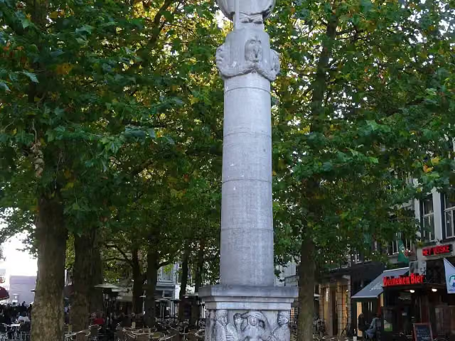
Photo: G.Lanting · Wikimedia Commons · CC BY 3.0View the photo on Wikimedia Commons23.9 km · ± 5:20 h · From A to B · start Baarle-Nassau
2 public toilets1 water point56 benches and picnic tables
- 7
i
Photo: Brbbl · Wikimedia Commons · CC BY-SA 3.0View the photo on Wikimedia CommonsOrange-Nassau Trail stage 2: Gilze-Baarle-Nassau
18.8 km · ± 4:10 h · ↗ 13 m · From A to B · start Gilze en Rijen
1 public toilet2 water fountains and refill points78 benches and picnic tables
- 8
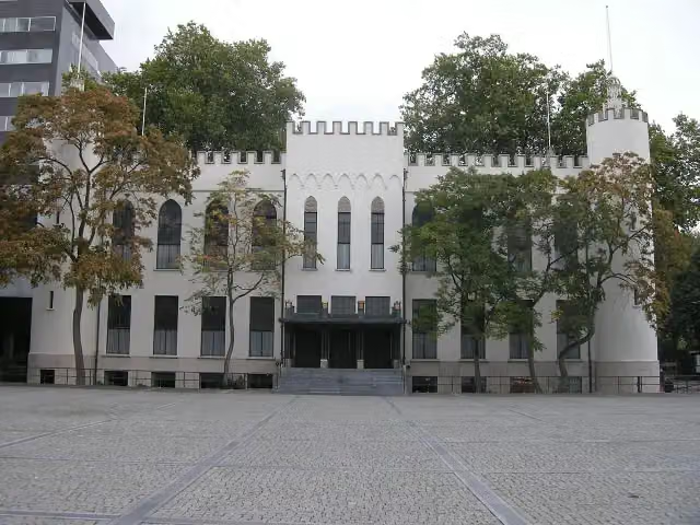
25.2 km · ± 5:40 h · ↗ 24 m · From A to B · start Tilburg
1 public toilet10 water fountains and refill points74 benches and picnic tables
- 9
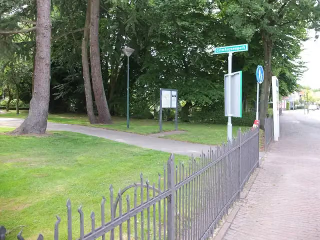
i
Photo: G.Lanting · Wikimedia Commons · CC BY 4.0View the photo on Wikimedia CommonsOrange-Nassau Trail stage 7: Ulvenhout-Chaam
16.9 km · ± 3:45 h · ↗ 6 m · From A to B · start Hoogstraten
0 public toilets0 water fountains and refill points35 benches and picnic tables
- 10
Grenslandpad - 10
ModerateBorderland Trail - 10
18.9 km · ± 4:15 h · ↗ 13 m · From A to B · start Hoogstraten
0 public toilets1 water point20 benches and picnic tables
All 7 walks from Alphen-Chaam, A to Z
- Grenslandpad - 11 · Borderland Trail - 11
- Grenslandpad - 12 · Borderland Trail - 12
- Grenslandpad - 20 - Aftakking Landgoed Valkenberg-Breda station · Borderland Trail - 20 - Branch Landgoed Valkenberg-Breda station
- Oranje-Nassaupad · Orange-Nassau Trail
- Oranje-Nassaupad etappe 1: Chaam-Gilze · Orange-Nassau Trail stage 1: Chaam-Gilze
- Oranje-Nassaupad etappe 8: Chaam-Rijen · Orange-Nassau Trail stage 8: Chaam-Rijen
- SBB Rondwandeling (wit) · SBB circular walk (white)
Long-distance paths through Alphen-Chaam
Walks of several days, in stages.
i
Photo: Stichting Bloemencorso Zundert · Wikimedia Commons · CC BY 4.0View the photo on Wikimedia CommonsVia Brabantica
53.9 km · From A to B
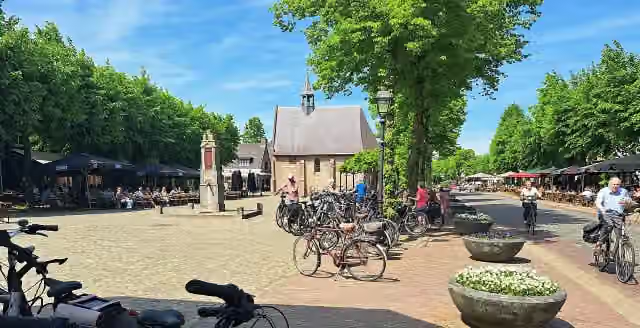
i
Photo: Kempenmen · Wikimedia Commons · CC BY-SA 4.0View the photo on Wikimedia Commons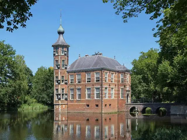
i
Photo: Renée Kools · Wikimedia Commons · CC BY 4.0View the photo on Wikimedia Commons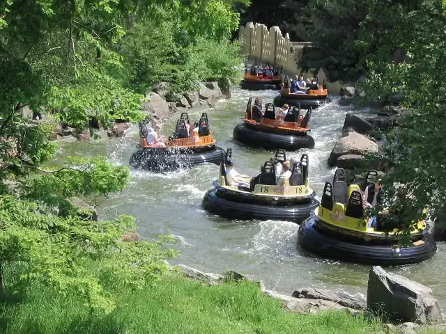
i
Photo: Stefan Scheer · Wikimedia Commons · CC BY 2.5View the photo on Wikimedia Commons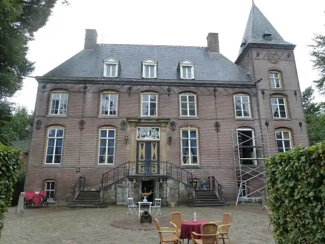
Points of interest along the walks
Along the 10 best walks.
 Audio story · 2 min
i
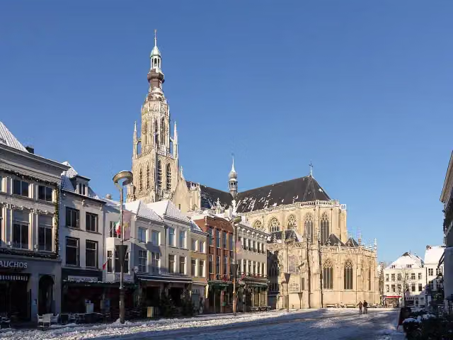
Photo: MichielverbeekNL · Wikimedia Commons · CC BY-SA 3.0 nlView the photo on Wikimedia CommonsGrote Kerk
Attraction · along 4 walks
Judith met het hoofd van Holofernes
Memorial · along 3 walks
- Story
i
Photo: Stichting Bloemencorso Zundert · Wikimedia Commons · CC BY 4.0View the photo on Wikimedia CommonsBloemencorso
Attraction · along 2 walks
Begijnhof
Attraction · along 1 walk
Baroniemonument
Memorial · along 1 walk
- Audio story · 2 min
Paleis-Raadhuis
Castle · along 1 walk
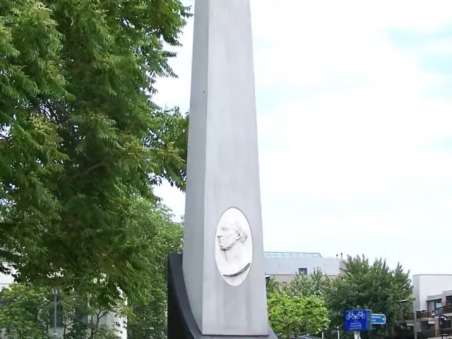
Gedenknaald Koning Willem II
Memorial · along 1 walk
i
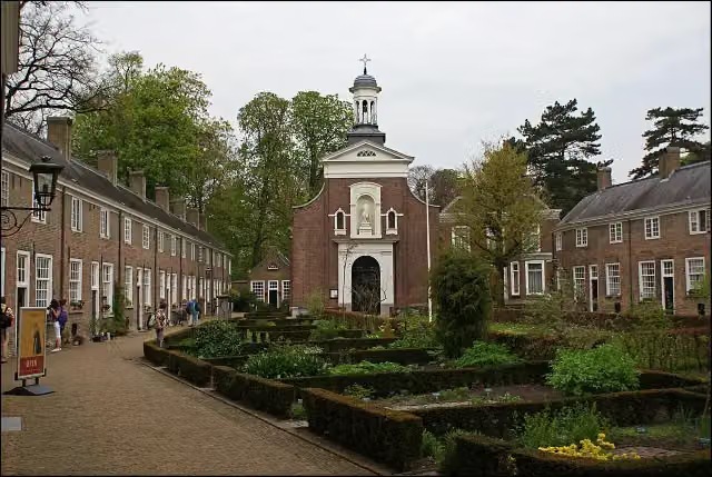
Photo: Brbbl · Wikimedia Commons · CC BY-SA 3.0View the photo on Wikimedia CommonsMemorial · along 4 walks
Walks per place in North Brabant
52 places have their own guide.
- 's-Hertogenbosch50 ›
- Altena24 ›
- Baarle-Nassau10 ›
- Bergeijk35 ›
- Bergen op Zoom32 ›
- Bernheze15 ›
- Best11 ›
- Bladel14 ›
- Boekel5 ›
- Boxtel37 ›
- Breda27 ›
- Cranendonck14 ›
- Deurne8 ›
- Dongen12 ›
- Drimmelen9 ›
- Eersel24 ›
- Eindhoven40 ›
- Etten-Leur8 ›
- Geldrop-Mierlo11 ›
- Gemert-Bakel16 ›
- Gilze en Rijen20 ›
- Goirle11 ›
- Halderberge5 ›
- Heeze-Leende30 ›
- Helmond14 ›
- Heusden28 ›
- Hilvarenbeek12 ›
- Laarbeek11 ›
- Land van Cuijk34 ›
- Loon op Zand15 ›
- Maashorst16 ›
- Meierijstad33 ›
- Moerdijk14 ›
- Nuenen c.a.16 ›
- Oirschot18 ›
- Oisterwijk39 ›
- Oosterhout19 ›
- Oss20 ›
- Reusel-De Mierden10 ›
- Roosendaal14 ›
- Sint-Michielsgestel26 ›
- Someren12 ›
- Son en Breugel23 ›
- Steenbergen20 ›
- Tilburg28 ›
- Valkenswaard30 ›
- Veldhoven12 ›
- Vught27 ›
- Waalre18 ›
- Waalwijk13 ›
- Woensdrecht30 ›
- Zundert8 ›
Explore further
Frequently asked questions
How many walks are there in Alphen-Chaam?
The Outdoor Pitstop map has 23 walks in Alphen-Chaam, including 5 long-distance paths in stages.
What is the best walk in Alphen-Chaam?
At the top of this guide is Grenslandpad - 20 - Aftakking Landgoed Valkenberg-Breda station (12.1 km, moderate). Next come Grenslandpad - 21 - Aftakking Alphen-Baarle-Nassau and Streek-GR Noorderkempen.
Are there circular walks in Alphen-Chaam?
Yes, for example Streek-GR Noorderkempen.
Which walks in Alphen-Chaam have a toilet along the way?
In this guide, Grenslandpad - 20 - Aftakking Landgoed Valkenberg-Breda station, Via Tenera and Via Brabantica, Breda - Kapellen have a public toilet along the route.
Which long-distance paths run through Alphen-Chaam?
Among others Via Brabantica, Grenslandpad (Hoofdroute), Oranje-Nassaupad and Camino Brabant - Totale route run through this area.
Popular nearby
Guides of places nearby





