 Outdoor Pitstop
Walking guide Steenbergen · Updated on 5 November 2026
The best walks in Steenbergen
Steenbergen has 20 walks on the Outdoor Pitstop map. The 10 best are 20.3 km long on average. Along the way you find 261 benches and picnic tables, 12 water fountains and refill points, 11 public toilets and 1 food stand in total.
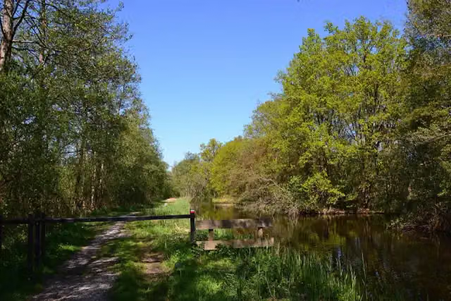
i
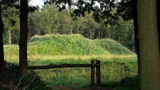
i
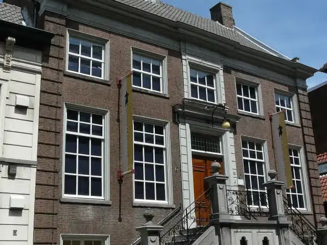
i
The 10 best walks
In the order of our score: a photo, points of interest along the way, a toilet or water point, a circular walk, a description and how often people search for the route.
The best walking route in Steenbergen is Floris V-pad - 12 (19 km, moderate).
The numbers on the map are the routes below, at their starting point. Pitstops count up to 100 m from the route. Walking time assumes 4.5 km an hour plus 10 minutes per 100 m of ascent.
- 1
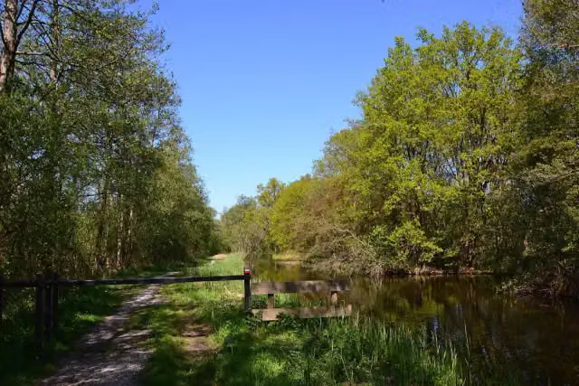
i
Photo: MartinD · Wikimedia Commons · CC BY-SA 4.0View the photo on Wikimedia CommonsFloris V-pad - 12
ModerateFloris V Trail - 12
19 km · ± 4:15 h · From A to B · start Steenbergen
0 public toilets1 water point17 benches and picnic tables
- 2
i
Photo: Nokah · Wikimedia Commons · CC BY-SA 3.0 nlView the photo on Wikimedia CommonsZuiderwaterlinie stage 1: Bergen op Zoom - Steenbergen
19.5 km · ± 4:20 h · ↗ 9 m · From A to B · start Bergen op Zoom
2 public toilets2 water fountains and refill points21 benches and picnic tables
- 3
i
Photo: G.Lanting · Wikimedia Commons · CC BY-SA 3.0View the photo on Wikimedia CommonsDwars door Brabant - 2
ModerateAcross Brabant - 2
17.1 km · ± 3:50 h · ↗ 17 m · From A to B · start Steenbergen
1 public toilet2 water fountains and refill points27 benches and picnic tables
- 4
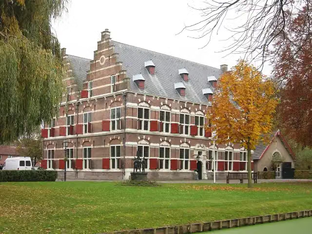
i
Photo: Michiel1972 · Wikimedia Commons · CC BY-SA 3.0View the photo on Wikimedia CommonsFloris V Trail - 11
22.4 km · ± 5:05 h · ↗ 54 m · From A to B · start Hoeksche Waard
3 public toilets0 water fountains and refill points56 benches and picnic tables
- 5
i
Photo: Nokah · Wikimedia Commons · CC BY-SA 3.0 nlView the photo on Wikimedia Commons20.3 km · ± 4:35 h · ↗ 17 m · From A to B · start Steenbergen
2 public toilets1 water point45 benches and picnic tables
- 6
i
Photo: MartinD · Wikimedia Commons · CC BY-SA 4.0View the photo on Wikimedia CommonsFloris V-pad - 13
ModerateFloris V Trail - 13
18.4 km · ± 4:05 h · ↗ 14 m · From A to B · start Steenbergen
0 public toilets2 water fountains and refill points11 benches and picnic tables
- 7
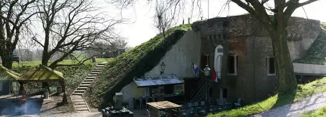
i
Photo: JHGS · Wikimedia Commons · CC BY-SA 3.0 nlView the photo on Wikimedia CommonsZuiderwaterlinie stage 3: Dinteloord - Willemstad
19.1 km · ± 4:15 h · ↗ 9 m · From A to B · start Steenbergen
0 public toilets0 water fountains and refill points34 benches and picnic tables
- 8
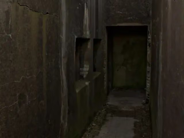
i
Photo: Johan Bakker · Wikimedia Commons · CC BY-SA 4.0View the photo on Wikimedia CommonsCanadian Liberators walking route stage 3: Steenbergen-Willemstad
24.4 km · ± 5:25 h · From A to B · start Steenbergen
1 public toilet0 water fountains and refill points28 benches and picnic tables
- 9
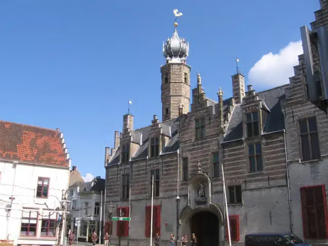
i
Photo: M.Minderhoud · Wikimedia Commons · CC BY-SA 3.0View the photo on Wikimedia CommonsRegional Trail De Brabantse Wal - 2
20.7 km · ± 4:35 h · ↗ 3 m · From A to B · start Bergen op Zoom
0 public toilets3 water fountains and refill points4 benches and picnic tables
- 10
Zuiderwaterlinie stage 2: Steenbergen - Dinteloord
21.9 km · ± 4:55 h · From A to B · start Steenbergen
2 public toilets1 water point18 benches and picnic tables
All 7 walks from Steenbergen, A to Z
- Dwars door Brabant - 2 · Across Brabant - 2
- Floris V-pad - 12 · Floris V Trail - 12
- Floris V-pad - 13 · Floris V Trail - 13
- GR 5 NL - 7 - Nieuw Vossemeer-Bergen op Zoom
- Wandelroute Canadese Bevrijders etappe 3: Steenbergen-Willemstad · Canadian Liberators walking route stage 3: Steenbergen-Willemstad
- Zuiderwaterlinie etappe 2: Steenbergen - Dinteloord · Zuiderwaterlinie stage 2: Steenbergen - Dinteloord
- Zuiderwaterlinie etappe 3: Dinteloord - Willemstad · Zuiderwaterlinie stage 3: Dinteloord - Willemstad
Long-distance paths through Steenbergen
Walks of several days, in stages.
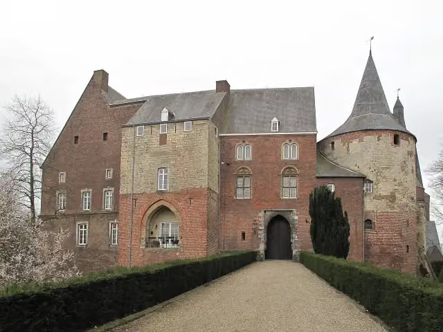
i
Photo: Michielverbeek · Wikimedia Commons · CC BY-SA 3.0 nlView the photo on Wikimedia Commons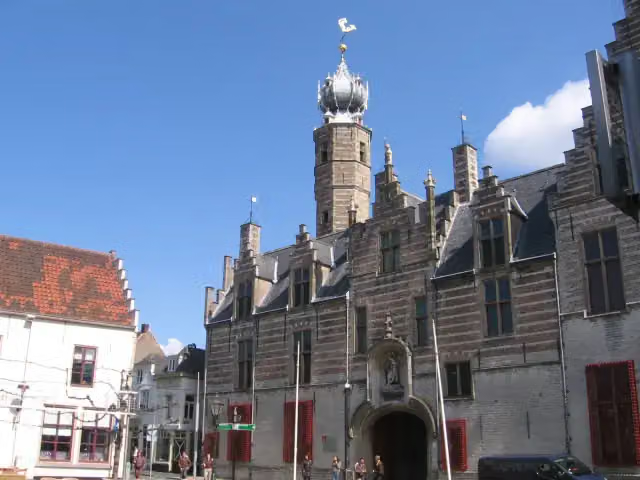
i
Photo: M.Minderhoud · Wikimedia Commons · CC BY-SA 3.0View the photo on Wikimedia Commonsi
Photo: Nokah · Wikimedia Commons · CC BY-SA 3.0 nlView the photo on Wikimedia CommonsEuropean long distance path E2 east
377.9 km · From A to B

i
Photo: asdfmvoie · Wikimedia Commons · CC BY-SA 3.0View the photo on Wikimedia Commonsi
Photo: Nokah · Wikimedia Commons · CC BY-SA 3.0 nlView the photo on Wikimedia CommonsEuropese wandelroute E2, Nederland
European long distance path E2 - part Netherlands
134.3 km · From A to B
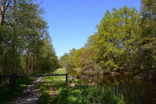
i
Photo: MartinD · Wikimedia Commons · CC BY-SA 4.0View the photo on Wikimedia CommonsFloris V-pad - Hoofdroute en varianten
Floris V Trail - Main route and variants
250.2 km · From A to B
Points of interest along the walks
Along the 10 best walks.
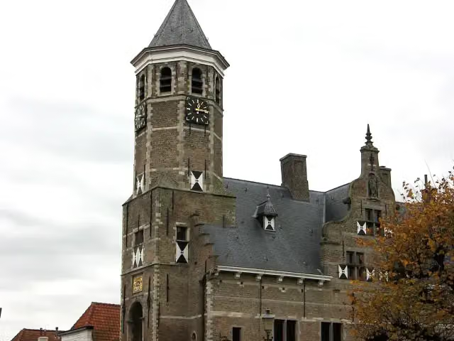
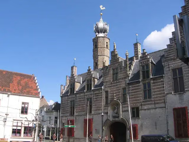
Oude Raadhuis
Attraction · along 3 walks
- Audio story · 2 min
i
Photo: Nokah · Wikimedia Commons · CC BY-SA 3.0 nlView the photo on Wikimedia CommonsFort De Roovere
Fort · along 2 walks
Mauritshuis
Museum · along 2 walks
Zouavenmuseum
Museum · along 1 walk
Markiezenhof
Museum · along 1 walk
Fort De Hel
Fort · along 1 walk
Vestingwerken van Willemstad
Castle · along 1 walk
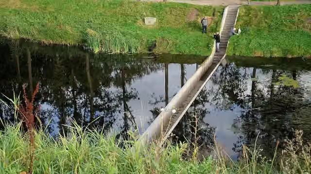
i
Photo: Nokah · Wikimedia Commons · CC BY-SA 3.0 nlView the photo on Wikimedia CommonsAttraction · along 2 walks
Walks per place in North Brabant
52 places have their own guide.
- 's-Hertogenbosch50 ›
- Alphen-Chaam23 ›
- Altena24 ›
- Baarle-Nassau10 ›
- Bergeijk35 ›
- Bergen op Zoom32 ›
- Bernheze15 ›
- Best11 ›
- Bladel14 ›
- Boekel5 ›
- Boxtel37 ›
- Breda27 ›
- Cranendonck14 ›
- Deurne8 ›
- Dongen12 ›
- Drimmelen9 ›
- Eersel24 ›
- Eindhoven40 ›
- Etten-Leur8 ›
- Geldrop-Mierlo11 ›
- Gemert-Bakel16 ›
- Gilze en Rijen20 ›
- Goirle11 ›
- Halderberge5 ›
- Heeze-Leende30 ›
- Helmond14 ›
- Heusden28 ›
- Hilvarenbeek12 ›
- Laarbeek11 ›
- Land van Cuijk34 ›
- Loon op Zand15 ›
- Maashorst16 ›
- Meierijstad33 ›
- Moerdijk14 ›
- Nuenen c.a.16 ›
- Oirschot18 ›
- Oisterwijk39 ›
- Oosterhout19 ›
- Oss20 ›
- Reusel-De Mierden10 ›
- Roosendaal14 ›
- Sint-Michielsgestel26 ›
- Someren12 ›
- Son en Breugel23 ›
- Tilburg28 ›
- Valkenswaard30 ›
- Veldhoven12 ›
- Vught27 ›
- Waalre18 ›
- Waalwijk13 ›
- Woensdrecht30 ›
- Zundert8 ›
Explore further
Frequently asked questions
How many walks are there in Steenbergen?
The Outdoor Pitstop map has 20 walks in Steenbergen, including 9 long-distance paths in stages.
What is the best walk in Steenbergen?
At the top of this guide is Floris V-pad - 12 (19 km, moderate). Next come Zuiderwaterlinie etappe 1: Bergen op Zoom - Steenbergen and Dwars door Brabant - 2.
Which walks in Steenbergen have a toilet along the way?
In this guide, Zuiderwaterlinie etappe 1: Bergen op Zoom - Steenbergen, Dwars door Brabant - 2 and Floris V-pad - 11 have a public toilet along the route.
Which long-distance paths run through Steenbergen?
Among others Dwars door Brabant, Streekpad De Brabantse Wal, European long distance path E2 east and Floris V-pad - Hoofdroute run through this area.
Popular nearby
Guides of places nearby





