 Outdoor Pitstop
Walking guide Tilburg · Updated on 5 November 2026
The best walks in Tilburg
Tilburg has 28 walks on the Outdoor Pitstop map. The 10 best are 25.7 km long on average. Along the way you find 522 benches and picnic tables, 18 water fountains and refill points and 15 public toilets in total.
i
i
The 10 best walks
In the order of our score: a photo, points of interest along the way, a toilet or water point, a circular walk, a description and how often people search for the route.
The best walking route in Tilburg is Brabants Vennenpad - Aanlooproute Tilburg (6.4 km, easy).
The numbers on the map are the routes below, at their starting point. Pitstops count up to 100 m from the route. Walking time assumes 4.5 km an hour plus 10 minutes per 100 m of ascent.
- 1
i
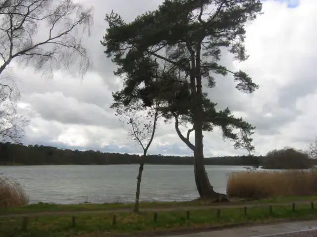
Photo: Ton en Steven · Wikimedia Commons · CC BY-SA 3.0 nlView the photo on Wikimedia CommonsBrabant Fens Trail - Access route Tilburg
6.4 km · ± 1:25 h · ↗ 3 m · From A to B · start Oisterwijk
1 public toilet3 water fountains and refill points39 benches and picnic tables
- 2
i
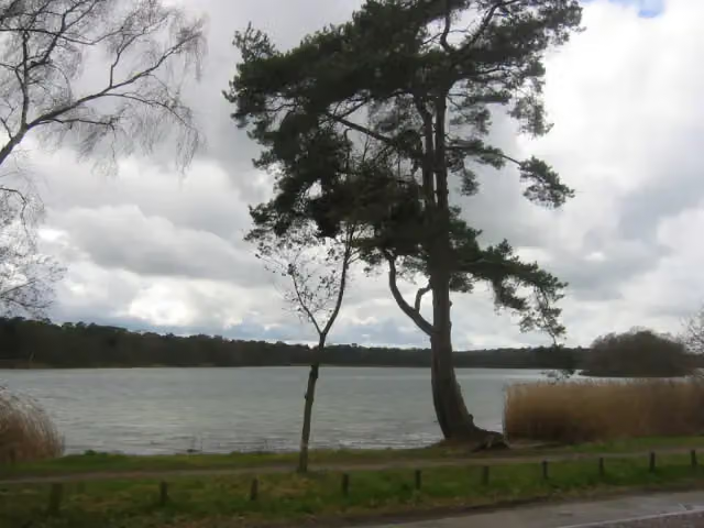
Photo: Mystro82 at Dutch Wikipedia · Wikimedia Commons · CC BY-SA 3.0View the photo on Wikimedia CommonsAround the Sint Jan - 10
8.6 km · ± 1:55 h · ↗ 6 m · From A to B · start Tilburg
1 public toilet0 water fountains and refill points20 benches and picnic tables
- 3
i
Photo: Mystro82 at Dutch Wikipedia · Wikimedia Commons · CC BY-SA 3.0View the photo on Wikimedia CommonsRondom de Sint Jan - 09
ModerateAround the Sint Jan - 09
14.7 km · ± 3:15 h · From A to B · start Oisterwijk
1 public toilet1 water point45 benches and picnic tables
- 4
Canadian Liberators walking route stage 9: Udenhout-'s-Hertogenbosch
22.9 km · ± 5:05 h · From A to B · start Tilburg
9 public toilets0 water fountains and refill points49 benches and picnic tables
- 5
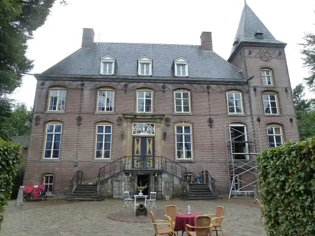
Heart of Brabant Trail 4 Guldenberg-Moergestel
65.6 km · ± 14:35 h · ↗ 9 m · From A to B · start Vught
1 public toilet0 water fountains and refill points82 benches and picnic tables
- 6
Our Monastery Trail - 13
20.7 km · ± 4:35 h · ↗ 3 m · From A to B · start Oisterwijk
0 public toilets1 water point37 benches and picnic tables
- 7
i
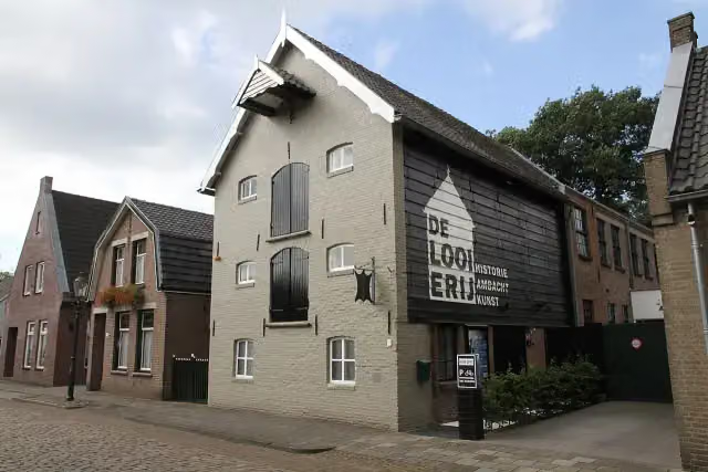
Photo: MKrijnen · Wikimedia Commons · CC BY-SA 4.0View the photo on Wikimedia CommonsDwars door Brabant - 6
ModerateAcross Brabant - 6
18.5 km · ± 4:10 h · ↗ 7 m · From A to B · start Dongen
0 public toilets0 water fountains and refill points24 benches and picnic tables
- 8
i
Photo: MKrijnen · Wikimedia Commons · CC BY-SA 4.0View the photo on Wikimedia CommonsHeart of Brabant Trail 3 Rijen-Guldenberg
54.1 km · ± 12:05 h · ↗ 33 m · From A to B · start Dongen
1 public toilet0 water fountains and refill points73 benches and picnic tables
- 9
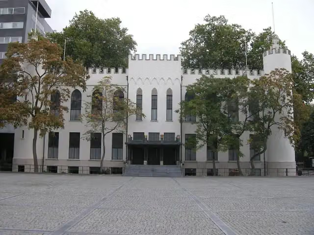
25.2 km · ± 5:40 h · ↗ 24 m · From A to B · start Tilburg
1 public toilet10 water fountains and refill points74 benches and picnic tables
- 10
i
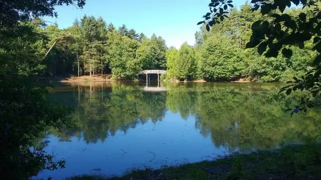
Photo: Dreamian · Wikimedia Commons · CC BY-SA 4.0View the photo on Wikimedia CommonsOrange-Nassau Trail stage 4: Riel-Rijen
20.5 km · ± 4:35 h · ↗ 3 m · From A to B · start Goirle
0 public toilets3 water fountains and refill points79 benches and picnic tables
All 4 walks from Tilburg, A to Z
Long-distance paths through Tilburg
Walks of several days, in stages.
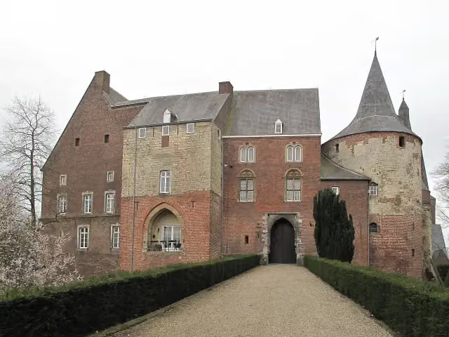
i
Photo: Michielverbeek · Wikimedia Commons · CC BY-SA 3.0 nlView the photo on Wikimedia Commons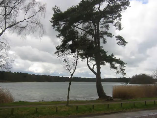
i
Photo: Mystro82 at Dutch Wikipedia · Wikimedia Commons · CC BY-SA 3.0View the photo on Wikimedia Commons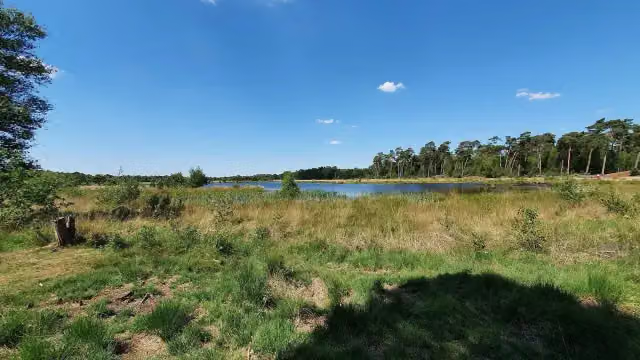
i
Photo: Klankbeeld · Wikimedia Commons · CC BY-SA 4.0View the photo on Wikimedia Commons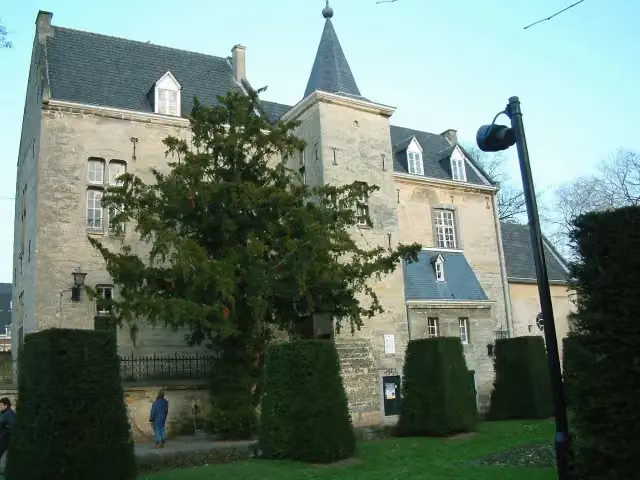
i
Photo: Pivos · Wikimedia Commons · CC BY-SA 3.0View the photo on Wikimedia Commons
i
Photo: Paul van Galen · Wikimedia Commons · CC BY-SA 4.0View the photo on Wikimedia Commons
Points of interest along the walks
Along the 10 best walks.
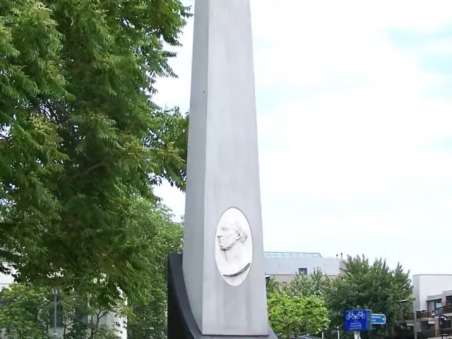
Gedenknaald Koning Willem II
Memorial · along 2 walks
- Story
Kasteel Nemerlaer
Castle · along 2 walks
De Looierij
Museum · along 2 walks
Monument Koninklijke Nederlandse Brigade Prinses Irene
Memorial · along 1 walk
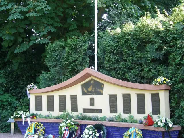
Indië-monument
Memorial · along 1 walk
 Story
i
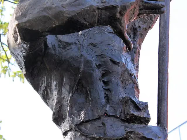
Photo: bertknot from scarborough, australia · Wikimedia Commons · CC BY-SA 2.0View the photo on Wikimedia CommonsMonument der verloren kinderen
Memorial · along 1 walk
- Audio story · 2 min
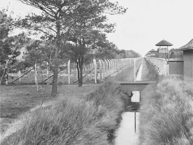
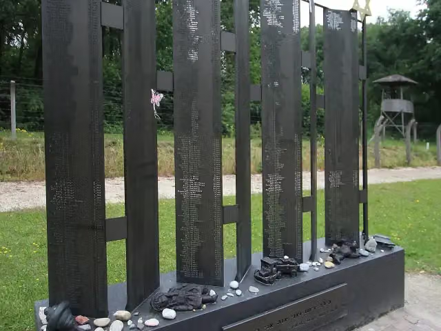
Concentration Camp Museum
Museum · along 1 walk
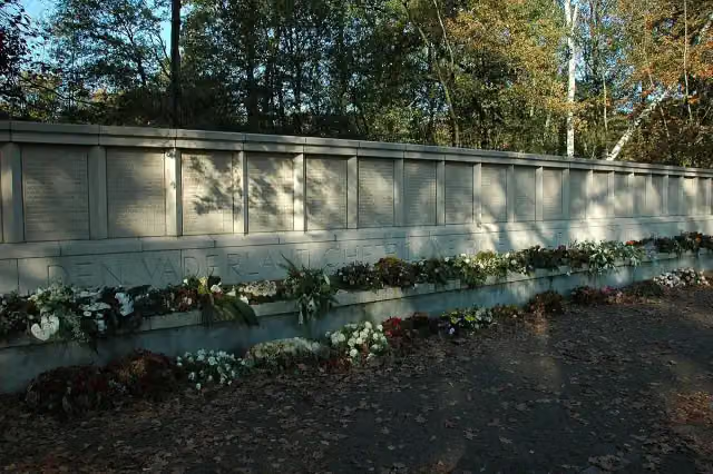
Fusilladeplaats
Memorial · along 1 walk
Walks per place in North Brabant
52 places have their own guide.
- 's-Hertogenbosch50 ›
- Alphen-Chaam23 ›
- Altena24 ›
- Baarle-Nassau10 ›
- Bergeijk35 ›
- Bergen op Zoom32 ›
- Bernheze15 ›
- Best11 ›
- Bladel14 ›
- Boekel5 ›
- Boxtel37 ›
- Breda27 ›
- Cranendonck14 ›
- Deurne8 ›
- Dongen12 ›
- Drimmelen9 ›
- Eersel24 ›
- Eindhoven40 ›
- Etten-Leur8 ›
- Geldrop-Mierlo11 ›
- Gemert-Bakel16 ›
- Gilze en Rijen20 ›
- Goirle11 ›
- Halderberge5 ›
- Heeze-Leende30 ›
- Helmond14 ›
- Heusden28 ›
- Hilvarenbeek12 ›
- Laarbeek11 ›
- Land van Cuijk34 ›
- Loon op Zand15 ›
- Maashorst16 ›
- Meierijstad33 ›
- Moerdijk14 ›
- Nuenen c.a.16 ›
- Oirschot18 ›
- Oisterwijk39 ›
- Oosterhout19 ›
- Oss20 ›
- Reusel-De Mierden10 ›
- Roosendaal14 ›
- Sint-Michielsgestel26 ›
- Someren12 ›
- Son en Breugel23 ›
- Steenbergen20 ›
- Valkenswaard30 ›
- Veldhoven12 ›
- Vught27 ›
- Waalre18 ›
- Waalwijk13 ›
- Woensdrecht30 ›
- Zundert8 ›
Explore further
Frequently asked questions
How many walks are there in Tilburg?
The Outdoor Pitstop map has 28 walks in Tilburg, including 10 long-distance paths in stages.
What is the best walk in Tilburg?
At the top of this guide is Brabants Vennenpad - Aanlooproute Tilburg (6.4 km, easy). Next come Rondom de Sint Jan - 10 and Rondom de Sint Jan - 09.
Which walks in Tilburg have a toilet along the way?
In this guide, Brabants Vennenpad - Aanlooproute Tilburg, Rondom de Sint Jan - 10 and Rondom de Sint Jan - 09 have a public toilet along the route.
Which long-distance paths run through Tilburg?
Among others Dwars door Brabant, Rondom de Sint Jan, Brabants Vennenpad (Alle varianten) and PeerkePad run through this area.
Popular nearby
Guides of places nearby





