 Outdoor Pitstop
Walking route · Sluis · Borderland Trail (Main route) · Updated on 5 November 2026
Grenslandpad (Hoofdroute) walk
Grenslandpad (Hoofdroute) is a walk of 332 km from Sluis. Along the way you'll find 247 benches and picnic tables, 6 water fountains and refill points, 5 public toilets and 1 food stand.
i
i
i
The route step by step
From start to finish, with what you pass along the way and the distance in between.
- 332 km
- ± 3:40 h per stage
- Moderate per stage
- From A to B
- National route
Pick a stage to see the pitstops per kilometre. Along the way you'll find 247 benches and picnic tables, 6 water fountains and refill points, 5 public toilets and 1 food stand.
Follow these steps in the appThe route with the water points, toilets and sights within 100 m of it.
6 sights along the way
In the order you pass them. With the Outdoor Pitstop app you hear their story on the spot.

Observation tower
Museum
i
Photo: WardBeyens · Wikimedia Commons · CC BY-SA 4.0View the photo on Wikimedia CommonsMemorial
Monument
i
Photo: Rosemoon · Wikimedia Commons · CC BY-SA 3.0View the photo on Wikimedia CommonsMuseum
Stages (20)
- 1Grenslandpad - 1Borderland Trail - 19.8 km
- 2Grenslandpad - 2Borderland Trail - 29 km
- 3Grenslandpad - 3Borderland Trail - 319 km
- 4Grenslandpad - 03/04 - bustransfer door Westerscheldetunnel (heen)Borderland Trail - 03/04 - bus transfer through Westerschelde Tunnel (outbound)15.6 km
- 5Grenslandpad - 4Borderland Trail - 421.2 km
- 6Grenslandpad - 5Borderland Trail - 521.9 km
- 7Grenslandpad - 6Borderland Trail - 623.8 km
- 8Grenslandpad - 7Borderland Trail - 714.3 km
- 9Grenslandpad - 8Borderland Trail - 816.3 km
- 10Grenslandpad - 9Borderland Trail - 920.1 km
- 11Grenslandpad - 10Borderland Trail - 1018.9 km
- 12Grenslandpad - 11Borderland Trail - 1120.9 km
- 13Grenslandpad - 12Borderland Trail - 1218.7 km
- 14Grenslandpad - 13Borderland Trail - 1322.2 km
- 15Grenslandpad - 14Borderland Trail - 1416.2 km
- 16Grenslandpad - 15Borderland Trail - 1518.5 km
- 17Grenslandpad - 16Borderland Trail - 1617.2 km
- 18Grenslandpad - 17Borderland Trail - 173.9 km
- 19Grenslandpad - 18Borderland Trail - 1814.9 km
- 20Grenslandpad - 19Borderland Trail - 199.5 km
Elevation and terrain
Way types
332 km in total- Track: 92.9 km
- Road: 85.7 km
- Path: 81.9 km
- Cycleway: 31.3 km
- Street: 16.7 km
- Busy road: 15.5 km
- Footpath: 6.5 km
- Stairs: 8 stairs
- Unknown: 200 m
Surfaces
332 km in total- Asphalt: 70.2 km
- Unpaved: 66.2 km
- Natural: 43 km
- Gravel: 22.9 km
- Paved: 15.6 km
- Unknown: 113.2 km
About the walking route Grenslandpad (Hoofdroute)
Updated on 5 November 2026, with data from OpenStreetMap and the AHN.
Where do you walk?
Grenslandpad (Hoofdroute) is a walking route of 332 km that starts in Sluis. It does not end where it starts. You start in Sluis and finish in Thorn.
How hard is the route?
There are 8 flights of steps along the way. Allow ± 3:40 h per stage, without breaks. Per stage the level is moderate.
What paths do you walk on?
The longest part is track (92.9 km), road (85.7 km) and path (81.9 km). Of the surface, 70.2 km asphalt and 66.2 km unpaved. For 113.2 km the surface is not known.
Pitstops along the way
Within 100 metres of the route there are 247 benches and picnic tables, 6 water fountains and refill points, 5 public toilets and 1 food stand. The Outdoor Pitstop app navigates you there.
Walks nearby
6- Via BrugensisEasy · From A to B2 km
- Nederlands Kustpad deel 1 - 1Moderate · From A to B14.1 km
- GR 129 Dwars door België | VlaanderenEasy · From A to B5 km
- GR 5A Wandelronde van Vlaanderen (Noord)Hard · From A to B72.9 km
- European long distance path E9 - B-NLEasy · From A to B2.3 km
- Nederlands Kustpad deel 1 - 01 - E9Easy · From A to B3.6 km
Sights nearby
Within 10 km of the route, best known first.
- 1
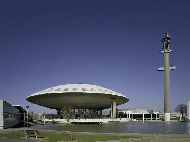 EvoluonAttraction · 10 km from the route
- 2
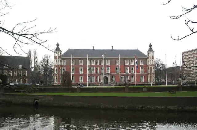 Kasteel van BredaCastle · 6.9 km from the route
- 3
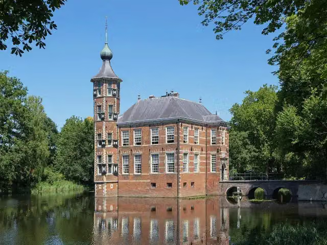 Kasteel BouvigneCastle · 4.1 km from the route
- 4
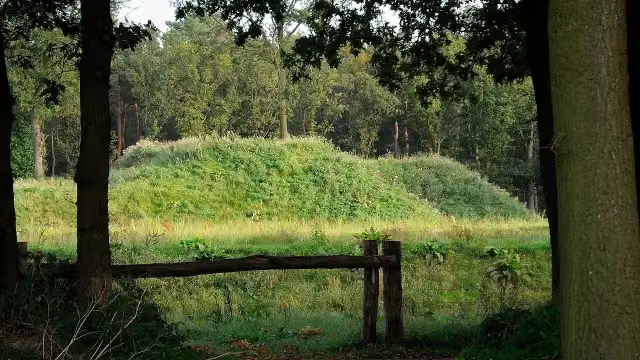 Fort De RoovereFort · 4.7 km from the route
- 5
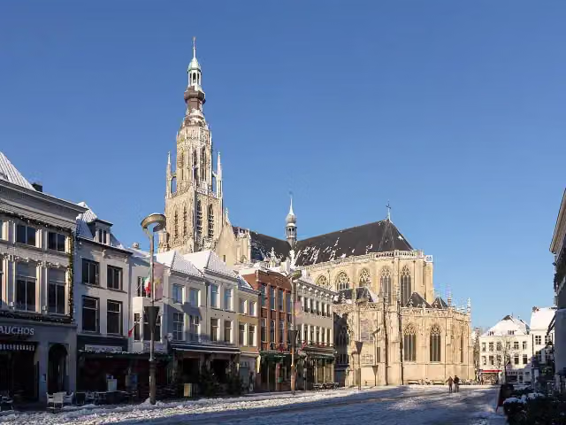 Grote KerkAttraction · 6.7 km from the route
- 6
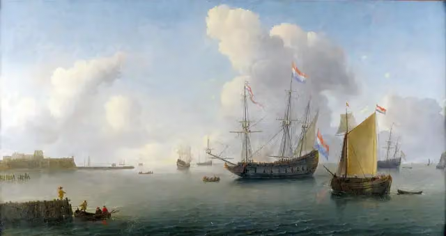 Fort RammekensAttraction · 7 km from the route
- 7
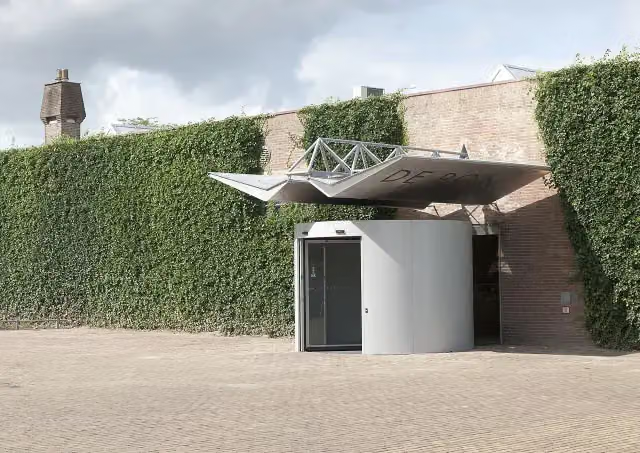 Museum De PontMuseum · 8.9 km from the route
- 8
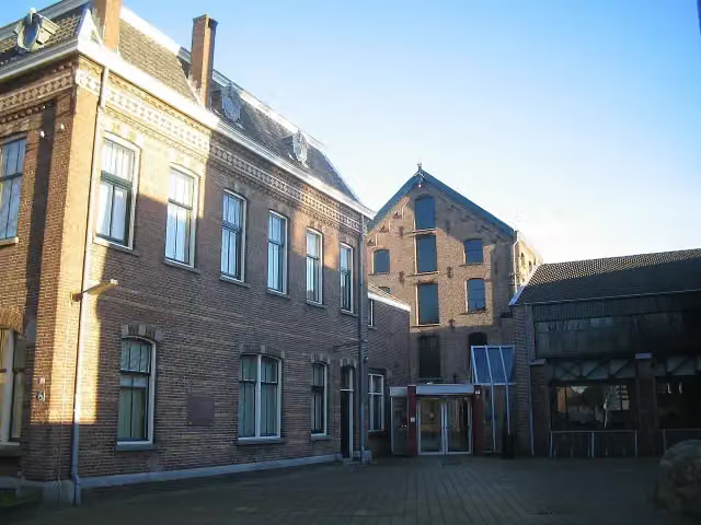 TextielmuseumMuseum · 9.4 km from the route
- 9
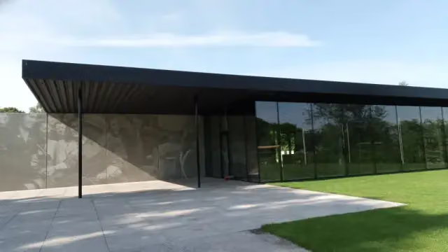 Maczek Memorial BredaMuseum · 7 km from the route
- 10
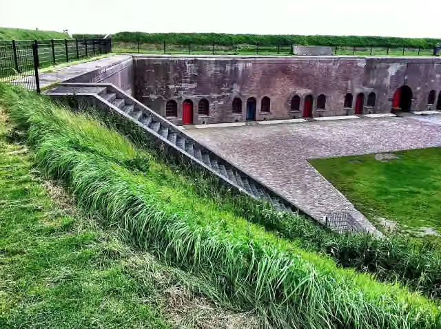 Fort EllewoutsdijkFort · 980 m from the route
- 11
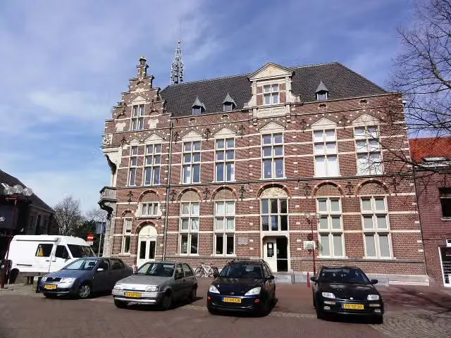 Museum van de VrouwMuseum · 6.2 km from the route
- 12
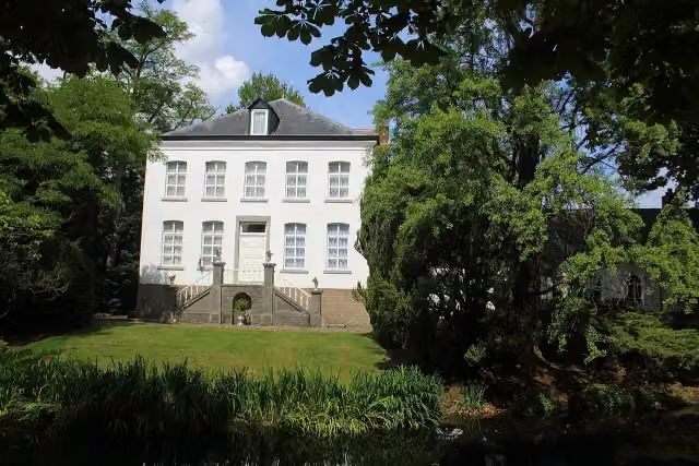 Kasteel NijenborghCastle · 6.7 km from the route
- 13
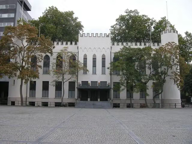 Paleis-RaadhuisCastle · 7.9 km from the route
- 14
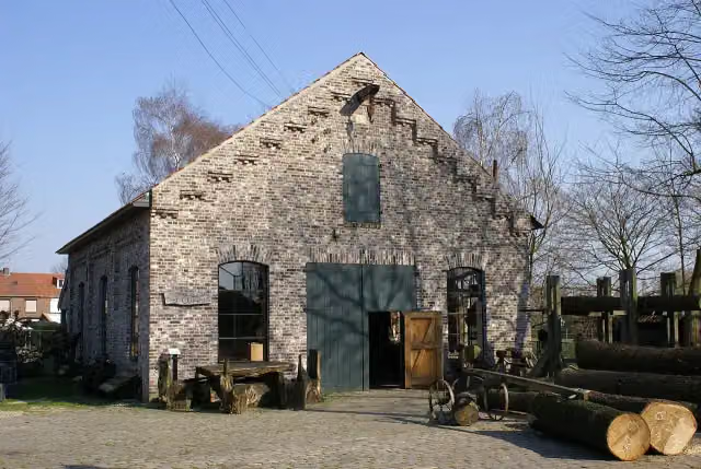 Limburgs Openluchtmuseum EynderhoofMuseum · 9.7 km from the route
- 15
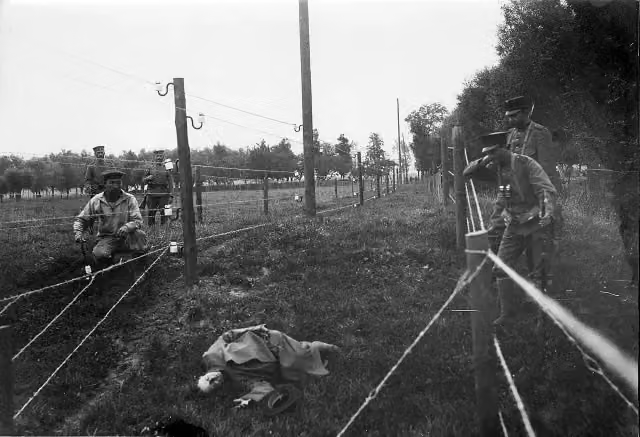 Wire of DeathMemorial · 313 m from the route
- 16
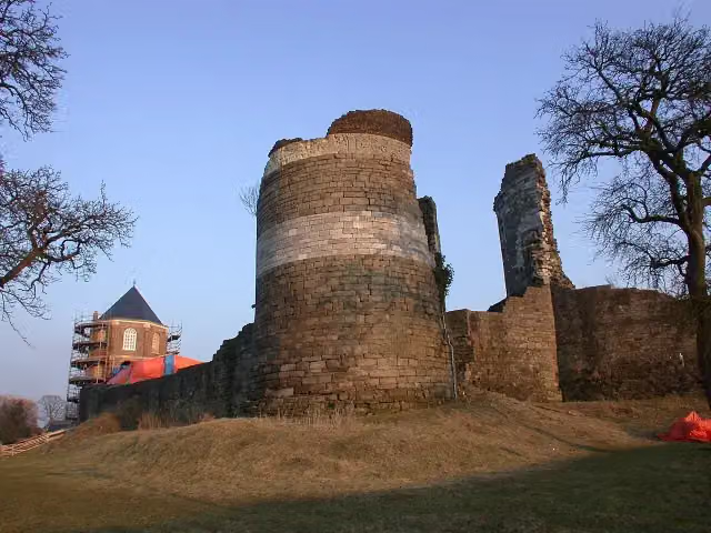 Kasteelruïne MontfortRuins · 8 km from the route
- 17
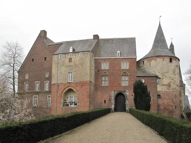 Kasteel HornCastle · 9.3 km from the route
- 18
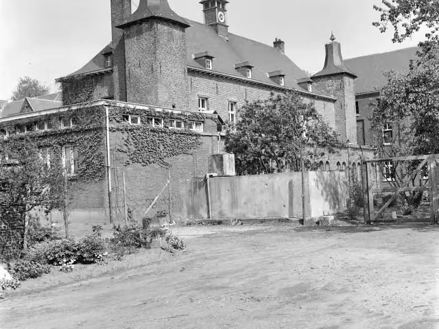 Kasteel ExatenCastle · 7.2 km from the route
- 19
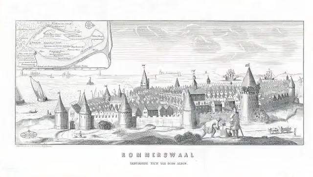 ReimerswaalArchaeological site · 7.2 km from the route
- 20
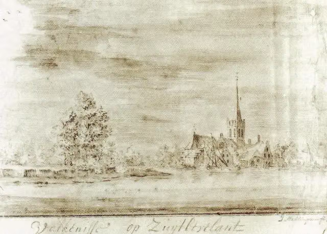 ValkenisseArchaeological site · 738 m from the route
- 21
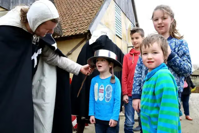 PreHistorisch DorpMuseum · 9 km from the route
- 22
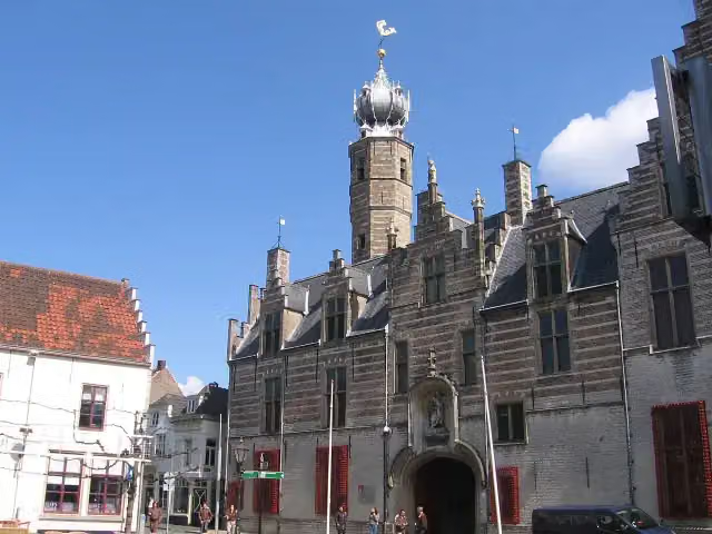 MarkiezenhofMuseum · 2.7 km from the route
- 23
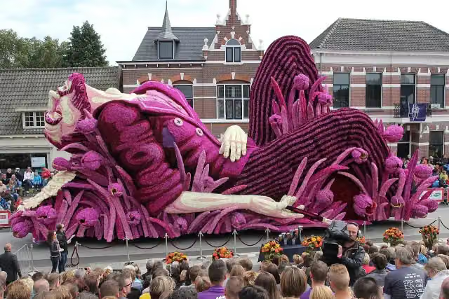 BloemencorsoAttraction · 3.6 km from the route
- 24
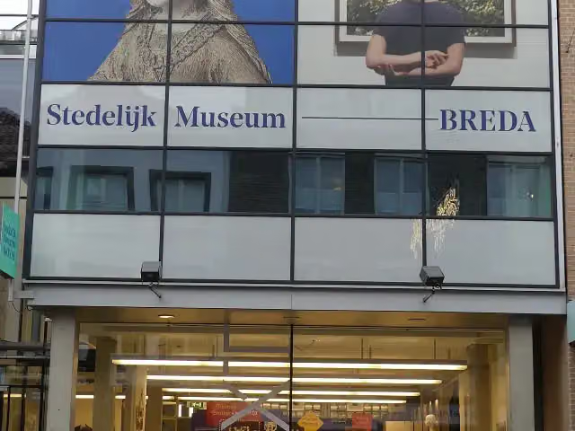 Stedelijk Museum BredaMuseum · 6.5 km from the route
- 25
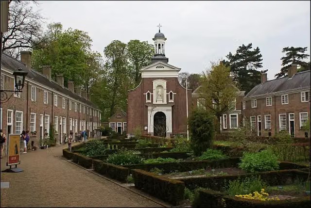 BegijnhofAttraction · 6.7 km from the route
Explore more
Frequently asked questions
How long is Grenslandpad (Hoofdroute)?
Grenslandpad (Hoofdroute) is 332 km long, in 20 stages of 16.6 km on average. Allow ± 3:40 h per stage of walking: 4.5 km an hour and 10 minutes more per 100 metres of climbing, without breaks.
Is this route a circular walk?
No, the route runs from Sluis to Thorn.
Where does this route start?
The route starts in Sluis.
How hard is this route?
Moderate per stage.
Are there toilets along this route?
Yes, there are 5 public toilets within 100 m of the route.
Can you fill up with water along this route?
Yes, there are 6 water fountains and refill points within 100 m of the route.
What is there to see along this route?
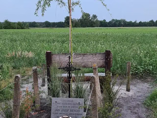
Along the way you pass Uitkijktoren Kraaijenberg, Kraaijenberg and Gedenksteen Jan Jozef Beyens.
Starting point
More routes from this place
Route data © OpenStreetMap contributors





