 Outdoor Pitstop
Cycle route · Oldambt · Updated on 14 November 2026
EuroVelo 12 - North Sea Cycle Route - part Germany
EuroVelo 12 - North Sea Cycle Route - part Germany is a cycle route of 929.4 km from Oldambt. Along the way you'll find 2,695 benches, 17 water fountains and refill points, 247 public toilets, 30 bike pumps and 5 honesty boxes and farm vending machines.
i
i
i
The route step by step
From start to finish, with what you pass along the way and the distance in between.
- 929.4 km
- ± 62:00 h
- ↑ 401 m · ↓ 400 m
- Hard
- From A to B
- International route
- Colour of the signs
Start in Oldambt
0 km11.1 km · 5 benches
Public toilet
11.1 km921 m · 2 benches
Public toilet and water point
12.1 km13.6 km · 10 benches
Water point and bike pump
25.6 km11.3 km · 19 benches
Public toilet
36.9 km11.8 km · 9 benches

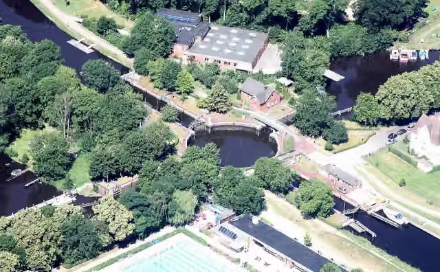
Kesselschleuse Emden
48.7 kmAttraction
1.1 km · 21 benches
Water point
49.8 km18.8 km · 27 benches
Public toilet
68.6 km4.7 km
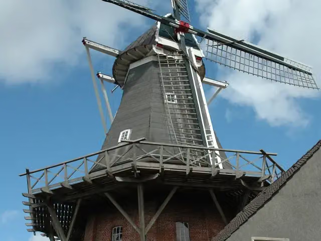
Rysumer Mühle and 1 more
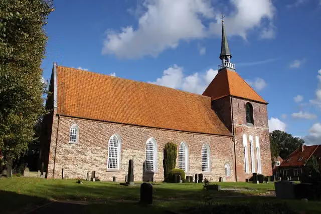
73.3 kmRysumer Kirche
1.6 km · 2 benches
Lyowertsnaborch
75 kmArchaeological site
1.3 km
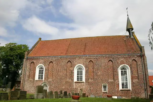
Reformierte Kirche
76.3 kmAttraction
155 m
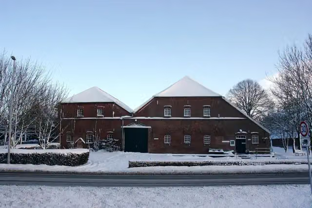
Ostfriesisches LandwirtschaftsMuseum Campen
76.4 kmMuseum
3.8 km · 5 benches
Public toilet
80.2 km5.2 km · 14 benches
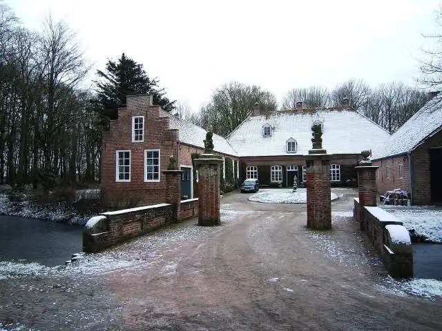
Osterburg
85.4 kmCastle
5.2 km
Public toilet
90.6 km4.3 km · bench
Pilsumer Leuchtturm
94.9 kmAttraction
549 m · 3 benches
Public toilet
95.5 km3.4 km · 28 benches
Public toilet and bike pump
98.8 km621 m · 11 benches
Public toilet and bike pump
99.4 km20.6 km · 8 benches
Kirchenmuseum Marienhafe
120 km2 public toilets and bike pump
1.3 km · 3 benches
Public toilet
121.3 km24.1 km · 60 benches
Observation tower
145.4 kmPublic toilet and bike pump
519 m · 49 benches
Public toilet
146 km448 m · 5 benches
Public toilet
146.4 km24.7 km · 23 benches
2 public toilets
171.1 km5.8 km · 20 benches
Public toilet
176.9 km993 m · 9 benches
Public toilet
177.9 km4.5 km · 49 benches
Leben am Meer
182.4 kmPublic toilet
10.2 km · 10 benches
Public toilet
192.7 km315 m · 7 benches
Public toilet
193 km
Show the other 190 steps
730 m · 25 benches
Public toilet
193.7 km6.7 km · 2 benches
Public toilet
200.4 km1 km · 5 benches
Public toilet
201.4 km529 m · 6 benches
Public toilet
202 km20.1 km · 20 benches
Eilhard Mitscherlich Denkmal
222.1 kmMemorial
416 m · 14 benches
Brauereimuseum
222.5 kmPublic toilet
195 m · 14 benches
Fräulein Maria
222.7 km2 public toilets and water point
173 m · 7 benches
Public toilet
222.9 km13 km · 15 benches
Muschelmuseum
235.9 kmMuseum
155 m · 6 benches
Public toilet
236 km16.2 km · 24 benches
Kopperhörner Mühle
252.3 kmPublic toilet
1.4 km · 28 benches
Seebataillonsdenkmal
253.6 kmMemorial
196 m · 4 benches
Prinz Adalbert von Preußen
253.8 kmMemorial
179 m · 2 benches
Kaiser-Wilhelm-Denkmal
254 kmMemorial
524 m · 12 benches
Gotthilf-Hagen-Denkmal
254.5 kmMemorial
645 m
Arcona and 1 more
255.2 kmKüstenmuseum
185 m · bench
Feuerschiff Wilhelmshaven
255.4 kmAttraction
1.2 km · 11 benches
Kaiser-Wilhelm-Brücke
256.5 kmAttraction
208 m · 4 benches
Bike pump
256.8 km16.6 km · 29 benches
Bike pump
273.3 km422 m · 2 benches
Erinnerungsort ehemalige Synagoge in Neustadtgödens
273.8 kmMuseum
2.4 km · 2 benches
Honesty box
276.1 km13.8 km · 37 benches
Water point
289.9 km381 m
Public toilet
290.3 km6.1 km · 5 benches
Public toilet
296.4 km2 km · 2 benches
Public toilet
298.4 km11.7 km · 3 benches
Kaskade-Infohaus Wasser
310.2 kmWater point
1.9 km · bench
Public toilet
312 km1.6 km
Honesty box
313.6 km8.5 km
Seefelder Mühle
322.2 kmAttraction
732 m
2 water fountains and refill points
322.9 km15.6 km · 18 benches
2 public toilets
338.5 km6.5 km · 17 benches
Public toilet
344.9 km395 m · 7 benches
Public toilet
345.3 km3.7 km · 11 benches
Honesty box
349 km5.4 km · 14 benches
Public toilet
354.4 km203 m
Honesty box
354.6 km2.9 km
Nationalpark-Haus Museum Fedderwardersiel
357.5 kmPublic toilet
264 m · 3 benches
Public toilet
357.8 km914 m · 3 benches
2 public toilets
358.7 km165 m · bench
Public toilet
358.9 km205 m · bench
Public toilet
359.1 km240 m · 5 benches
Water point
359.3 km221 m · 3 benches
2 public toilets
359.5 km305 m · bench
Public toilet
359.8 km12.8 km · 6 benches
Public toilet
372.7 km5 km · bench
Historisches Museum Bremerhaven and 1 more
377.7 kmBusse-Denkmal and public toilet
334 m · 11 benches
Wencke-Dock
378 km48 public toilets
180 m · 9 benches
24 public toilets
378.2 km246 m · bench
Radarturm and 1 more
378.4 kmAltes Unterfeuer Sandstedt and 3 public toilets
175 m · bench
DIVA and 1 more
378.6 kmElbe 3 and public toilet
182 m · 3 benches
Deutsches Schifffahrtsmuseum and 3 more
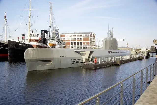
378.8 kmSeefalke, Emma and U-Boot Wilhelm Bauer
163 m · bench
Helmut
379 kmPublic toilet
253 m
Klimahaus Bremerhaven
379.2 kmWater point
266 m · 2 benches
Public toilet
379.5 km164 m · 6 benches
RAU IX
379.6 kmPublic toilet
3.5 km · 27 benches
Public toilet
383.1 km10.9 km · 9 benches
Public toilet
394 km430 m · 8 benches
Public toilet and honesty box
394.4 km28.4 km · 70 benches
Public toilet
422.9 km224 m · 4 benches
Wattenmeer-Besucherzentrum Cuxhaven
423.1 kmBike pump
1.1 km · 10 benches
Observation tower
424.2 kmObservation tower
1.9 km · 13 benches
Public toilet and bike pump
426.1 km889 m · 12 benches
Public toilet
426.9 km181 m · 5 benches
Public toilet
427.1 km178 m · bench
Public toilet
427.3 km379 m · 3 benches
Public toilet
427.7 km746 m · 3 benches
Public toilet
428.4 km336 m · 4 benches
Public toilet
428.8 km606 m · 14 benches
2 public toilets
429.4 km169 m · 2 benches
Public toilet
429.5 km300 m · 14 benches
Public toilet
429.8 km1.1 km · 21 benches
Public toilet
430.9 km1 km · 29 benches
Public toilet
431.9 km476 m · 4 benches
2 public toilets
432.4 km1.9 km · 15 benches
Rettungsschiff Swantje
434.3 kmPublic toilet and bike pump
191 m · 4 benches
Windstärke 10
434.5 kmMuseum
325 m
Public toilet
434.9 km4.8 km
Aussichtsturm
439.7 kmObservation tower
359 m · bench
Altenbruch Leuchtturm Dicke Berta
440.1 kmPublic toilet
833 m · 8 benches
2 public toilets
440.9 km4.4 km · 5 benches
2 public toilets
445.3 km2.4 km · 5 benches
2 public toilets
447.7 km533 m · 4 benches
Public toilet
448.2 km2.9 km · 52 benches
Kranichhaus and 1 more
451.1 kmMuseum gegenstandsfreier Kunst and public toilet
280 m · 8 benches
Bike pump
451.4 km2.8 km
Public toilet
454.2 km31.6 km · 41 benches
Schwebefähre Osten-Hemmoor
485.8 kmAttraction
313 m
Heimat- und Buddelmuseum
486.2 kmMuseum
7.2 km · 7 benches
Bike pump
493.4 km8.3 km · bench
Bike pump
501.7 km13.3 km · 22 benches
Freilichtmuseum auf der Insel and 1 more
515.1 kmGeorg Christoph Lichtenberg
441 m · 8 benches
3 public toilets
515.5 km12.9 km · 15 benches
2 public toilets and water point
528.4 km4.3 km
Museum Altes Land
532.7 kmMuseum
2 km
Aurora
534.7 kmAttraction
18.9 km · 36 benches
Public toilet
553.7 km3.5 km · 27 benches
Elbe 3 and 2 more
557.2 kmTiger and Dampfeisbrecher Stettin
4.1 km · 16 benches
Rickmer Rickmers
561.3 kmPublic toilet and 2 water fountains and refill points
185 m · 8 benches
Public toilet
561.5 km160 m · 14 benches
St. Pauli Elbe Tunnel
561.6 kmAttraction
194 m · 8 benches
Public toilet
561.8 km222 m · bench
Erotic Art Museum
562.1 kmMuseum
270 m · 5 benches
Park Fiction
562.3 km2 public toilets and water point
190 m · 13 benches
U-434 and 1 more
562.5 kmMahnmal Madonna der Seefahrt and public toilet
172 m · 8 benches
Fischmarkt
562.7 kmAttraction
434 m · 6 benches
Popeye der Seefahrer
563.1 kmMemorial
796 m · 22 benches
Altonaer Balkon
563.9 kmViewpoint
1.4 km · 46 benches
SD WOLTMAN and 3 more
565.3 kmClaus D., Flut 1962, Flut 1976 and public toilet
206 m · 9 benches
Public toilet
565.5 km523 m · 18 benches
2 public toilets
566 km482 m
Flut 1976 and 1 more
566.5 kmFlut 1962
200 m · 12 benches
Alter Schwede
566.7 kmAttraction
243 m · 16 benches
Public toilet
566.9 km855 m · 21 benches
Flut 1976
567.8 kmAttraction
2 km · 72 benches
Public toilet
569.8 km3.1 km · 145 benches
Treppenviertel
572.9 kmPublic toilet
416 m · 14 benches
Fischerhaus Museum
573.3 kmMuseum
1.6 km · 19 benches
Public toilet
574.9 km881 m · 2 benches
Public toilet
575.8 km888 m · 18 benches
Public toilet
576.6 km4.6 km · 37 benches
Bike pump
581.2 km397 m · 36 benches
Public toilet
581.6 km11.7 km · 6 benches
Public toilet and bike pump
593.3 km32.5 km · 21 benches
Fähre Kronsnest
625.7 kmAttraction
7.9 km · 8 benches
Public toilet
633.6 km4.3 km · 21 benches
Public toilet
637.9 km5.6 km · 14 benches
Public toilet and bike pump
643.5 km562 m · 18 benches
Wiebke-Kruse-Turm
644 kmAttraction
5.5 km · 21 benches
Public toilet
649.5 km13.1 km · 22 benches
Bike pump
662.7 km7.9 km · 25 benches
Kanalmuseum ATRIUM
670.5 kmPublic toilet and bike pump
5.4 km · 15 benches
Water point
675.9 km310 m · 3 benches
Heimatmuseum
676.3 kmPublic toilet
1.4 km · bench
Stadtgalerie im Elbeforum
677.6 kmMuseum
22.2 km · 25 benches
Public toilet and bike pump
699.9 km1.1 km · 6 benches
Freimaurer Museum
700.9 kmMuseum
15 km · 11 benches
Public toilet and bike pump
715.9 km399 m · 3 benches
Schleswig-Holsteinisches Landwirtschaftsmuseum
716.3 kmPublic toilet
8.5 km · 14 benches
Public toilet
724.8 km1.9 km · 7 benches
Public toilet and bike pump
726.8 km5.1 km · 21 benches
2 public toilets and bike pump
731.8 km2.2 km · 5 benches
2 public toilets
734.1 km434 m · 3 benches
Bike pump
734.5 km372 m · 14 benches
Museumshafen
734.9 kmPublic toilet
372 m · 51 benches
2 public toilets and bike pump
735.2 km403 m · 24 benches
Bike pump
735.6 km788 m · 13 benches
Public toilet
736.4 km406 m · 10 benches
Bike pump
736.8 km447 m · 13 benches
Public toilet
737.3 km2.6 km · 13 benches
Public toilet
739.9 km622 m · 6 benches
Public toilet
740.5 km2.5 km · 6 benches
Public toilet and water point
743 km246 m · 3 benches
Bike pump
743.2 km7.9 km · 4 benches
Public toilet
751.1 km2.1 km · 11 benches
Eidersperrwerk
753.2 kmAttraction
3.5 km · 4 benches
Public toilet
756.7 km3.6 km · 4 benches
Public toilet
760.3 km14.2 km · 34 benches
Grüne Nordsee
774.5 kmPublic toilet
729 m · 15 benches
Public toilet
775.2 km356 m · 13 benches
Public toilet
775.6 km1.9 km · 45 benches
Public toilet
777.5 km991 m · 12 benches
2 public toilets
778.5 km348 m · 2 benches
2 public toilets
778.8 km9.8 km · 16 benches
Public toilet
788.7 km36.8 km · 16 benches
Schifffahrtsmuseum Nordfriesland and 2 more
825.5 kmKulturpfad 29 - Kaufmannshaus, Kulturpfad 30 - Wernersches Haus, 5 public toilets and bike pump
249 m · 7 benches
Kulturpfad 16 - Slipanlage der alten Werft and 1 more
825.7 kmTheodor-Storm-Haus and 2 public toilets
184 m · 8 benches
Nationalpark-Haus
825.9 kmPublic toilet
373 m · 3 benches
Water point
826.3 km2.3 km · 9 benches
Public toilet
828.6 km3.9 km · 13 benches
Public toilet and bike pump
832.5 km5.4 km · 13 benches
Observation tower
837.9 kmObservation tower
326 m
Public toilet
838.3 km5.6 km · 5 benches
Public toilet
843.9 km315 m · 4 benches
Public toilet
844.2 km6.9 km · 8 benches
2 public toilets
851.1 km1.7 km · 9 benches
Public toilet
852.7 km1.9 km · 41 benches
Public toilet
854.7 km2.4 km · 11 benches
Public toilet
857.1 km2 km
Public toilet
859 km3.9 km · 7 benches
Public toilet
862.9 km7.1 km · 4 benches
Public toilet and bike pump
870 km11 km · 3 benches
Public toilet
881.1 km7.6 km · 11 benches
Public toilet
888.7 km167 m · 2 benches
Public toilet
888.8 km859 m · 18 benches
Public toilet
889.7 km17.2 km · 7 benches
Naturkundemuseum Niebüll
906.8 kmMuseum
1.5 km · 11 benches
Public toilet
908.4 km18.7 km · 8 benches
Museum und Garten Nolde and 1 more
927.1 kmHistorisches Noldehaus
2.3 km · 10 benches
Finish
929.4 km
Longest stretch without a toilet: 61.3 kmBetween 454.2 km and 515.5 km there is no public toilet within 100 m of the route.
The route with the pitstops and sights within 100 m of it.
98 sights along the way
In the order you pass them. With the Outdoor Pitstop app you hear their story on the spot. 90 more along the route are on the map.
i
Photo: Bin im Garten · Wikimedia Commons · CC BY-SA 3.0View the photo on Wikimedia CommonsAttraction · after 48.7 km
i
Photo: Elvaube This file was uploaded with Commonist. · Wikimedia Commons · CC BY-SA 3.0View the photo on Wikimedia CommonsAttraction · after 73.3 km
i
Photo: Matthias Süßen · Wikimedia Commons · CC BY 3.0View the photo on Wikimedia CommonsAttraction · after 73.5 km

Archaeological site · after 75 km
i
Photo: Frisia Orientalis · Wikimedia Commons · CC BY-SA 3.0View the photo on Wikimedia CommonsAttraction · after 76.3 km
i
Photo: Matthias Süßen · Wikimedia Commons · CC BY 3.0View the photo on Wikimedia CommonsMuseum · after 76.4 km
i
Photo: Dickelbers · Wikimedia Commons · CC BY-SA 3.0View the photo on Wikimedia CommonsCastle · after 85.4 km
Attraction · after 94.9 km
Elevation and terrain
- Up
- ↑ 401 m
- Down
- ↓ 400 m
- Highest point
- 24 m
- Lowest point
- -1 m
- 1 flight of stairs
Elevation from Copernicus GLO-30 (European Union and ESA), smoothed.
produced using Copernicus WorldDEM-30 © DLR e.V. 2010-2014 and © Airbus Defence and Space GmbH 2014-2018 provided under COPERNICUS by the European Union and ESA; all rights reserved
Way types
929.4 km in total- Road: 268.1 km
- Street: 230 km
- Path: 174.4 km
- Track: 165.9 km
- Busy road: 36.7 km
- Footpath (walk your bike): 24.5 km
- Cycle path: 14.5 km
- Steps (carry your bike): 1 flight of stairs
- Unknown: 13.9 km
Surfaces
929.4 km in total- Asphalt: 695.7 km
- Paved: 149 km
- Gravel: 25.9 km
- Natural: 2.6 km
- Unpaved: 50 m
- Unknown: 54.6 km
About the cycle route EuroVelo 12 - North Sea Cycle Route - part Germany
Updated on 14 November 2026, with data from OpenStreetMap, the AHN and Copernicus.
Where do you cycle?
EuroVelo 12 - North Sea Cycle Route - part Germany is a cycle route of 929.4 km that starts in Oldambt. It does not end where it starts. Along the way you pass Kesselschleuse Emden (after 48.7 km), Rysumer Mühle (after 73.3 km) and Rysumer Kirche (after 73.5 km).
How hard is the route?
You climb 401 m in total and descend 400 m. There is 1 flight of steps along the way. Allow ± 62:00 h, without breaks. The level is hard.
What roads do you cycle on?
The longest part is road (268.1 km), street (230 km) and path (174.4 km). Of the surface, 695.7 km asphalt and 149 km paved. For 54.6 km the surface is not known.
Pitstops along the way
Within 100 metres of the route there are 2,695 benches, 17 water fountains and refill points, 247 public toilets, 30 bike pumps and 5 honesty boxes and farm vending machines. The longest stretch without a toilet is 61.3 km. The Outdoor Pitstop app navigates you there.
Part of EuroVelo 12 - North Sea Cycle Route
Website of the routeCycle routes nearby
6- Nordseeküstenroute (Niedersachsen-Niederlande-Bremerhaven)Hard · From A to B377.5 km
- LF Kustroute - 01 - Bad Nieuweschans - DelfzijlModerate · From A to B37.7 km
- EuroVelo 12 - North Sea Cycle Route - part Nederland eastHard · From A to B357.9 km
- NAP-route - 01 - Bad Nieuweschans - ZuidbroekModerate · From A to B50.5 km
- Internationale Dollard RouteHard · Circular ride75.8 km
- SmokkelrouteHard · Circular ride105.6 km
Sights nearby
Within 10 km of the route, best known first.
- 1
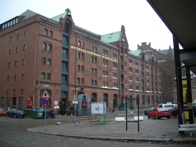 Miniature WonderlandAttraction · 1.2 km from the route
- 2
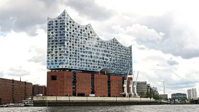 Elbe Philharmonic HallAttraction · 918 m from the route
- 3
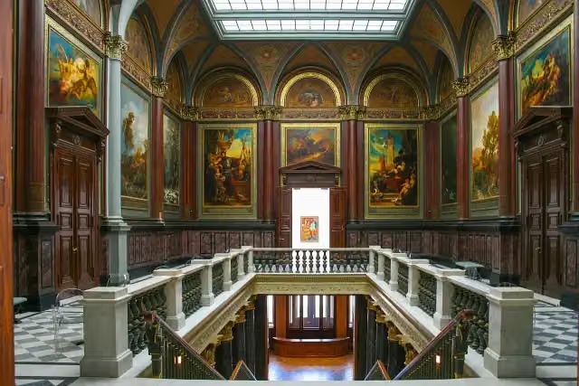 Hamburger KunsthalleMuseum · 2.4 km from the route
- 4
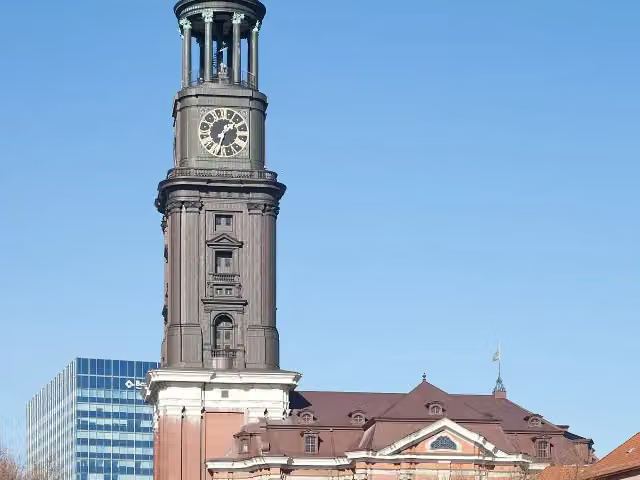 Church of St. MichaelAttraction · 636 m from the route
- 5
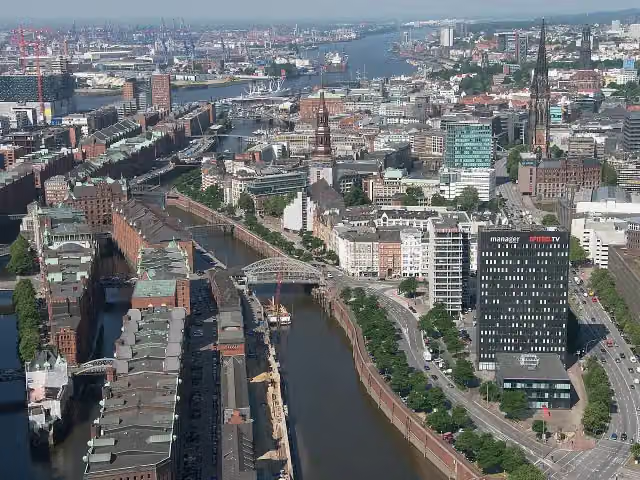 SpeicherstadtAttraction · 1 km from the route
- 6
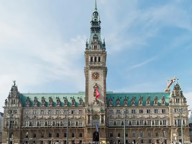 RathausAttraction · 1.5 km from the route
- 7
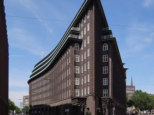 Chilehaus HamburgAttraction · 2 km from the route
- 8
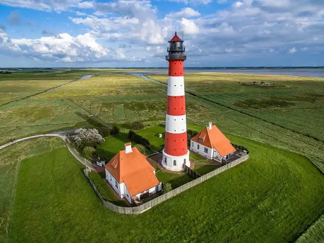 Leuchtturm WesterheversandAttraction · 3.6 km from the route
- 9
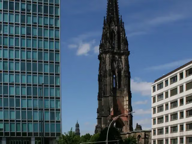 St. Nikolai MuseumMuseum · 1.3 km from the route
- 10
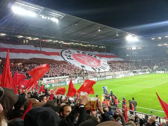 Wappen FC St. PauliMemorial · 795 m from the route
- 11
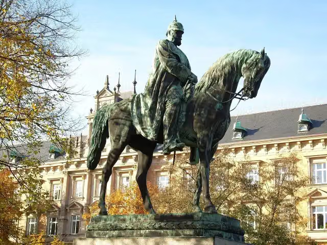 Planten un BlomenAttraction · 1.6 km from the route
- 12
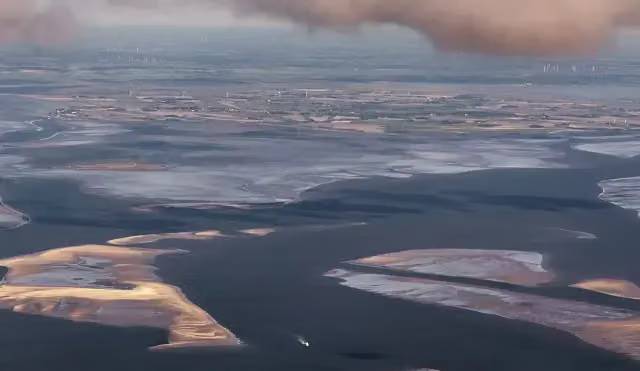 RungholtArchaeological site · 5.7 km from the route
- 13
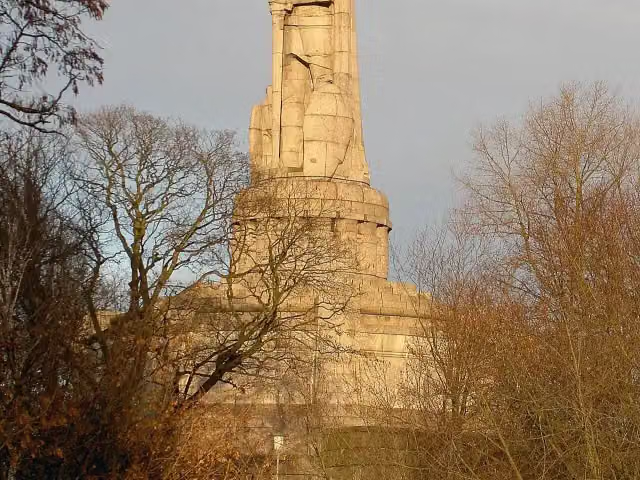 Bismarck-DenkmalAttraction · 443 m from the route
- 14
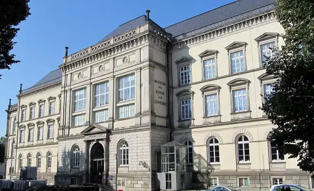 Museum für Kunst und Gewerbe HamburgMuseum · 2.6 km from the route
- 15
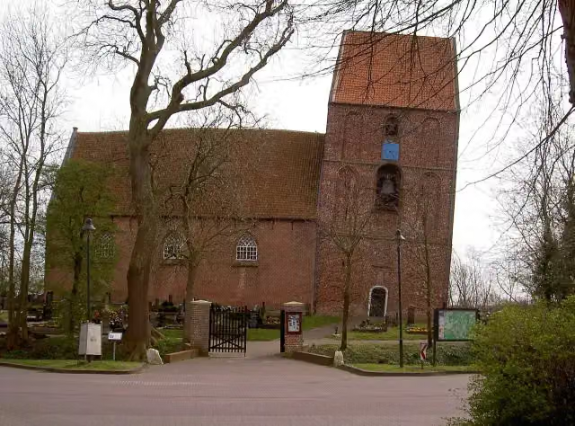 Schiefer Turm von SuurhusenAttraction · 4.5 km from the route
- 16
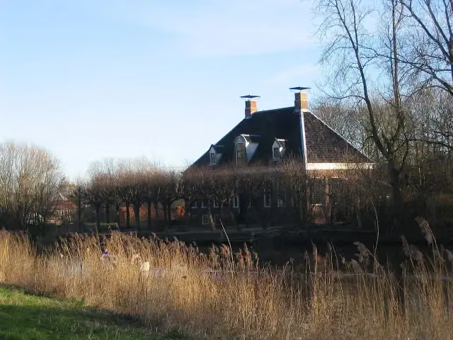 VliethovenCastle · 8.2 km from the route
- 17
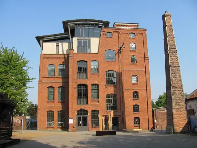 Museum of WorkMuseum · 6.7 km from the route
- 18
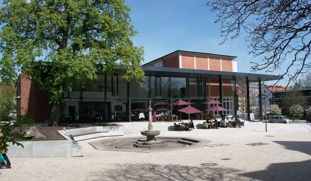 Hamburg Archaeological MuseumMuseum · 9.1 km from the route
- 19
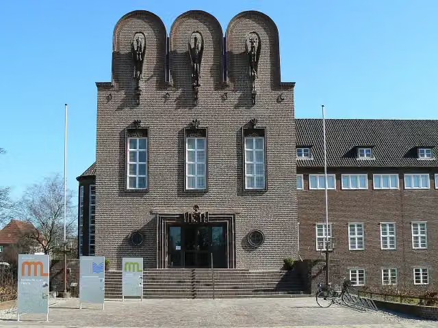 NordseeMuseum Husum - NissenhausMuseum · 339 m from the route
- 20
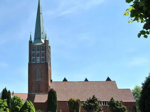 JaL-BibliothekAttraction · 428 m from the route
- 21
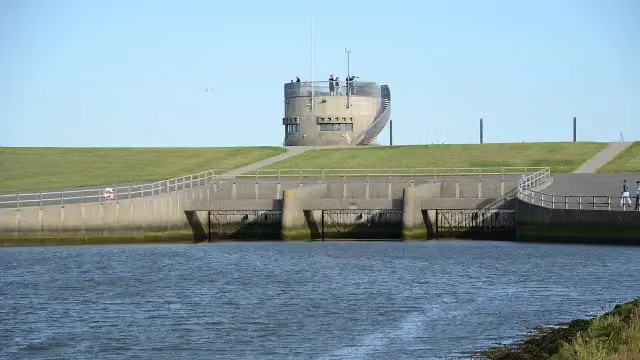 VidåslusenAttraction · 9.3 km from the route
- 22
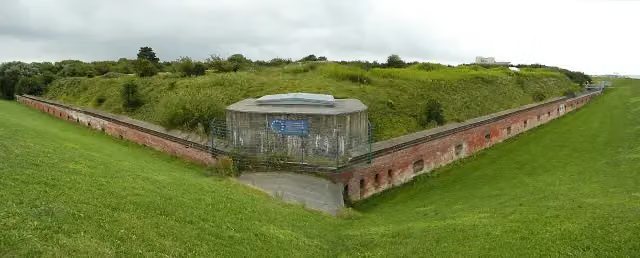 Fort KugelbakeAttraction · 94 m from the route
- 23
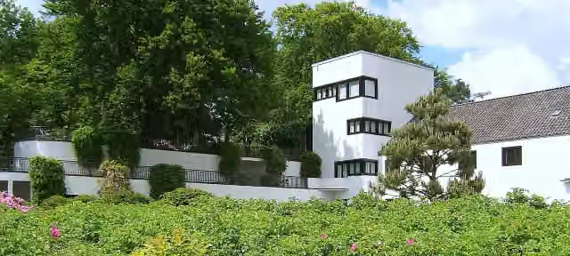 Doll Museum FalkensteinMuseum · 96 m from the route
- 24
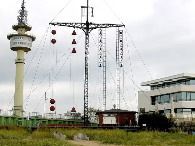 WasserstandsanzeigerAttraction · 99 m from the route
- 25
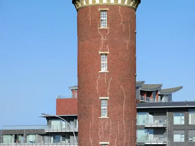 Hamburger LeuchtturmAttraction · 116 m from the route
Explore more
Frequently asked questions
How long is EuroVelo 12 - North Sea Cycle Route - part Germany?
EuroVelo 12 - North Sea Cycle Route - part Germany is 929.4 km long. Allow ± 62:00 h of riding: 15 km an hour, without breaks.
Is this route a circular ride?
No, the route starts and ends at different spots.
Where does this route start?
The route starts in Oldambt.
How hard is this route?
Hard, with 401 m of climbing.
Are there toilets along this route?
Yes, there are 247 public toilets within 100 m of the route. The longest stretch without a toilet is 61.3 km.
Can you fill up with water along this route?
Yes, there are 17 water fountains and refill points within 100 m of the route.
What is there to see along this route?
Along the way you pass Kesselschleuse Emden, Rysumer Mühle and Rysumer Kirche.
Can I download this route as a GPX file?
Yes. Sign in with your Outdoor Pitstop account and choose Download GPX at the top of this page: 10 routes a month for free, unlimited with Pro.
Starting point
More routes from this place
Route data © OpenStreetMap contributors





