 Outdoor Pitstop
Cycle route · Oldambt · Updated on 14 November 2026
Nordseeküstenroute (Niedersachsen-Niederlande-Bremerhaven) cycle route
Nordseeküstenroute (Niedersachsen-Niederlande-Bremerhaven) is a cycle route of 377.5 km from Oldambt. Along the way you'll find 771 benches, 10 water fountains and refill points, 51 public toilets, 7 bike pumps and 4 honesty boxes and farm vending machines.
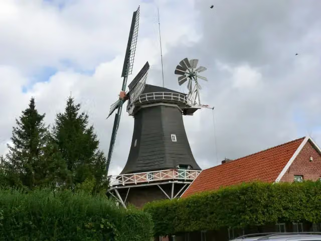
i
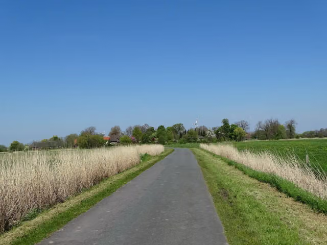
i
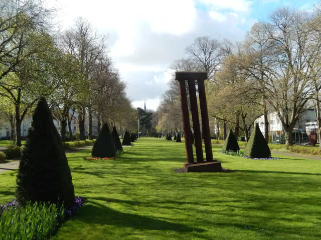
i
The route step by step
From start to finish, with what you pass along the way and the distance in between.
- 377.5 km
- ± 25:10 h
- ↑ 109 m · ↓ 109 m
- Hard
- From A to B
- National route
Start in Oldambt
0 km4.2 km
Water point
4.2 km7.2 km · 2 benches
Public toilet
11.4 km922 m · 2 benches
Public toilet and water point
12.4 km13.6 km · 10 benches
Water point and bike pump
25.9 km11.3 km · 19 benches
Public toilet
37.3 km11.8 km · 9 benches

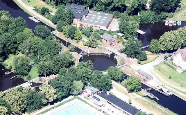
Kesselschleuse Emden
49 kmAttraction
1.1 km · 21 benches
Water point
50.1 km18.8 km · 30 benches
Public toilet
68.9 km4.5 km
Rysumer Mühle and 1 more
73.5 kmRysumer Kirche
2.8 km · 2 benches
Reformierte Kirche
76.3 kmAttraction
155 m
Ostfriesisches LandwirtschaftsMuseum Campen
76.4 kmMuseum
3.8 km · 5 benches
Public toilet
80.2 km5.3 km · 13 benches
Osterburg
85.5 kmCastle
5.2 km
Public toilet
90.8 km4.3 km · bench
Pilsumer Leuchtturm
95 kmAttraction
550 m · 3 benches
Public toilet
95.6 km3.4 km · 28 benches
Public toilet and bike pump
99 km621 m · 11 benches
Public toilet and bike pump
99.6 km20.6 km · 8 benches
Kirchenmuseum Marienhafe
120.2 km2 public toilets and bike pump
1.3 km · 3 benches
Public toilet
121.5 km24.1 km · 60 benches
Observation tower
145.6 kmPublic toilet and bike pump
519 m · 49 benches
Public toilet
146.1 km448 m · 5 benches
Public toilet
146.6 km24.7 km · 23 benches
2 public toilets
171.3 km5.8 km · 20 benches
Public toilet
177.1 km993 m · 9 benches
Public toilet
178.1 km4.5 km · 49 benches
Leben am Meer
182.6 kmPublic toilet
10.2 km · 10 benches
Public toilet
192.8 km316 m · 7 benches
Public toilet
193.2 km
Show the other 47 steps
730 m · 25 benches
Public toilet
193.9 km6.7 km · 2 benches
Public toilet
200.6 km1 km · 5 benches
Public toilet
201.6 km528 m · 6 benches
Public toilet
202.1 km20.1 km · 20 benches
Eilhard Mitscherlich Denkmal
222.3 kmMemorial
416 m · 14 benches
Brauereimuseum
222.7 kmPublic toilet
195 m · 14 benches
Fräulein Maria
222.9 km2 public toilets and water point
173 m · 7 benches
Public toilet
223.1 km13 km · 15 benches
Muschelmuseum
236.1 kmMuseum
155 m · 6 benches
Public toilet
236.2 km16.2 km · 24 benches
Kopperhörner Mühle
252.5 kmPublic toilet
1.4 km · 28 benches
Seebataillonsdenkmal
253.8 kmMemorial
196 m · 4 benches
Prinz Adalbert von Preußen
254 kmMemorial
179 m · 2 benches
Kaiser-Wilhelm-Denkmal
254.2 kmMemorial
524 m · 12 benches
Gotthilf-Hagen-Denkmal
254.7 kmMemorial
645 m
Arcona and 1 more
255.4 kmKüstenmuseum
185 m · bench
Feuerschiff Wilhelmshaven
255.5 kmAttraction
1.2 km · 11 benches
Kaiser-Wilhelm-Brücke
256.7 kmAttraction
208 m · 4 benches
Bike pump
256.9 km16.6 km · 29 benches
Bike pump
273.5 km423 m · 2 benches
Erinnerungsort ehemalige Synagoge in Neustadtgödens
273.9 kmMuseum
2.4 km · 2 benches
Honesty box
276.3 km13.8 km · 37 benches
Water point
290.1 km381 m
Public toilet
290.4 km6.1 km · 5 benches
Public toilet
296.6 km2 km · 2 benches
Public toilet
298.6 km11.7 km · 3 benches
Kaskade-Infohaus Wasser
310.3 kmWater point
1.9 km · bench
Public toilet
312.2 km1.6 km
Honesty box
313.8 km8.5 km
Seefelder Mühle
322.3 kmAttraction
733 m
2 water fountains and refill points
323.1 km15.6 km · 18 benches
2 public toilets
338.6 km6.5 km · 17 benches
Public toilet
345.1 km395 m · 7 benches
Public toilet
345.5 km3.7 km · 11 benches
Honesty box
349.2 km5.4 km · 14 benches
Public toilet
354.6 km203 m
Honesty box
354.8 km2.9 km
Nationalpark-Haus Museum Fedderwardersiel
357.7 kmPublic toilet
264 m · 3 benches
Public toilet
358 km914 m · 3 benches
2 public toilets
358.9 km165 m · bench
Public toilet
359.1 km205 m · bench
Public toilet
359.3 km240 m · 5 benches
Water point
359.5 km221 m · 3 benches
2 public toilets
359.7 km305 m · bench
Public toilet
360 km12.8 km · 6 benches
Public toilet
372.9 km4.6 km · bench
Finish
377.5 km
Longest stretch without a toilet: 37.9 kmBetween 252.5 km and 290.4 km there is no public toilet within 100 m of the route.
The route with the pitstops and sights within 100 m of it.
27 sights along the way
In the order you pass them. With the Outdoor Pitstop app you hear their story on the spot. 19 more along the route are on the map.
i
Photo: Bin im Garten · Wikimedia Commons · CC BY-SA 3.0View the photo on Wikimedia CommonsAttraction · after 49 km
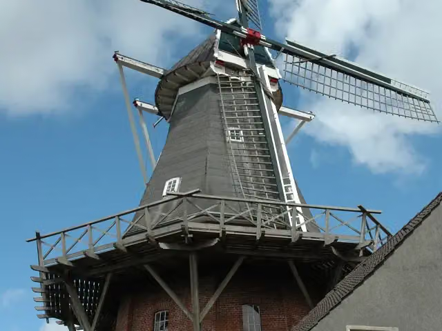
i
Photo: Elvaube This file was uploaded with Commonist. · Wikimedia Commons · CC BY-SA 3.0View the photo on Wikimedia CommonsAttraction · after 73.5 km
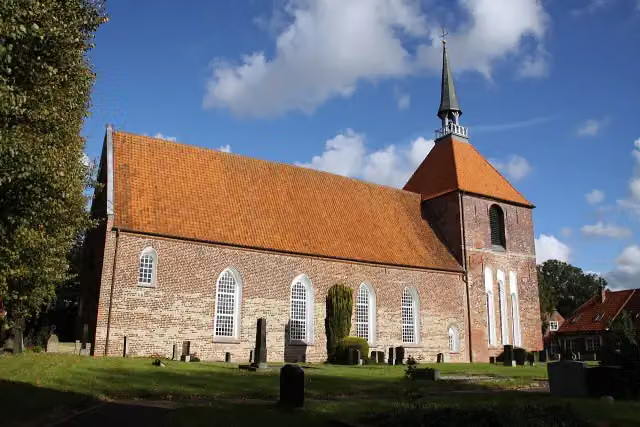
i
Photo: Matthias Süßen · Wikimedia Commons · CC BY 3.0View the photo on Wikimedia CommonsAttraction · after 73.6 km
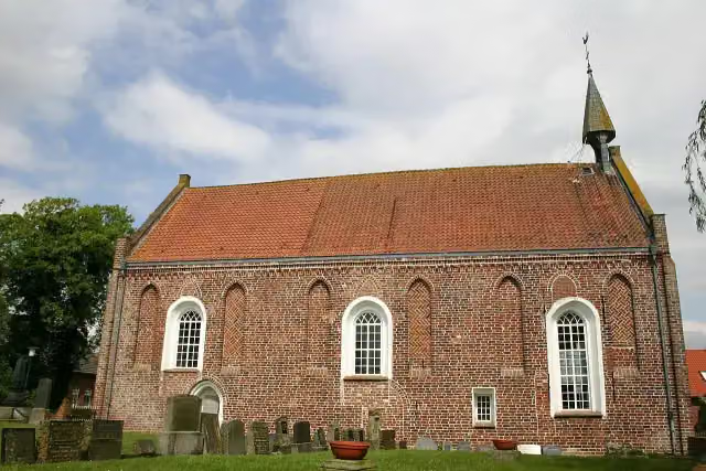
i
Photo: Frisia Orientalis · Wikimedia Commons · CC BY-SA 3.0View the photo on Wikimedia CommonsAttraction · after 76.3 km
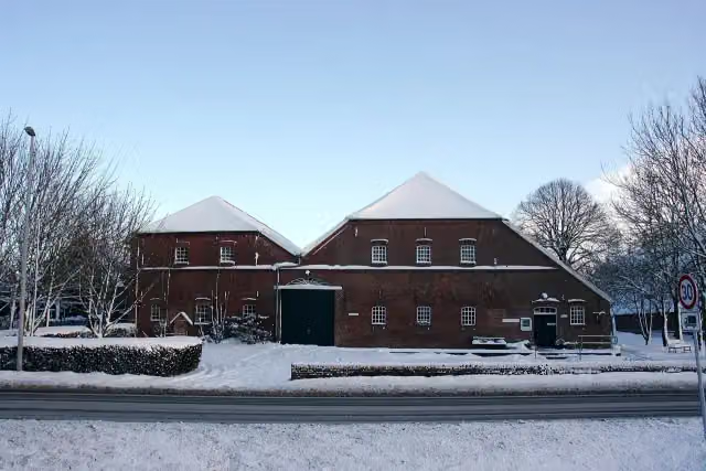
i
Photo: Matthias Süßen · Wikimedia Commons · CC BY 3.0View the photo on Wikimedia CommonsMuseum · after 76.4 km
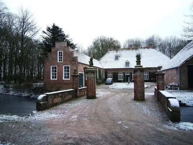
i
Photo: Dickelbers · Wikimedia Commons · CC BY-SA 3.0View the photo on Wikimedia CommonsCastle · after 85.5 km

Attraction · after 95 km
Museum · after 120.2 km
Elevation and terrain
- Up
- ↑ 109 m
- Down
- ↓ 109 m
- Highest point
- 12 m
- Lowest point
- -1 m
Nowhere steeper than 5%.
Elevation from Copernicus GLO-30 (European Union and ESA), smoothed.
produced using Copernicus WorldDEM-30 © DLR e.V. 2010-2014 and © Airbus Defence and Space GmbH 2014-2018 provided under COPERNICUS by the European Union and ESA; all rights reserved
Way types
377.5 km in total- Street: 107.1 km
- Road: 104.8 km
- Path: 89.6 km
- Track: 52.2 km
- Footpath (walk your bike): 7.8 km
- Busy road: 6.3 km
- Cycle path: 2.7 km
- Unknown: 6.2 km
Surfaces
377.5 km in total- Asphalt: 250.2 km
- Paved: 85 km
- Gravel: 14 km
- Natural: 1.3 km
- Unknown: 26.2 km
About the cycle route Nordseeküstenroute (Niedersachsen-Niederlande-Bremerhaven)
Updated on 14 November 2026, with data from OpenStreetMap, the AHN and Copernicus.
Where do you cycle?
Nordseeküstenroute (Niedersachsen-Niederlande-Bremerhaven) is a cycle route of 377.5 km that starts in Oldambt. It does not end where it starts. You start in Grenze Niederlande and finish in Bremerhaven. Along the way you pass Kesselschleuse Emden (after 49 km), Rysumer Mühle (after 73.5 km) and Rysumer Kirche (after 73.6 km).
How hard is the route?
You climb 109 m in total and descend 109 m. Allow ± 25:10 h, without breaks. The level is hard.
What roads do you cycle on?
The longest part is street (107.1 km), road (104.8 km) and path (89.6 km). Of the surface, 250.2 km asphalt and 85 km paved. For 26.2 km the surface is not known.
Pitstops along the way
Within 100 metres of the route there are 771 benches, 10 water fountains and refill points, 51 public toilets, 7 bike pumps and 4 honesty boxes and farm vending machines. The longest stretch without a toilet is 37.9 km. The Outdoor Pitstop app navigates you there.
Part of Nordseeküstenroute
Website of the routeCycle routes nearby
6- EuroVelo 12 - North Sea Cycle Route - part GermanyHard · From A to B929.4 km
- LF Kustroute - 01 - Bad Nieuweschans - DelfzijlModerate · From A to B37.7 km
- EuroVelo 12 - North Sea Cycle Route - part Nederland eastHard · From A to B357.9 km
- NAP-route - 01 - Bad Nieuweschans - ZuidbroekModerate · From A to B50.5 km
- Internationale Dollard RouteHard · Circular ride75.8 km
- SmokkelrouteHard · Circular ride105.6 km
Sights nearby
Within 10 km of the route, best known first.
- 1
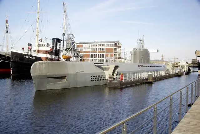 U-Boot Wilhelm BauerMuseum · 570 m from the route
- 2
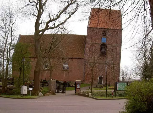 Schiefer Turm von SuurhusenAttraction · 4.5 km from the route
- 3
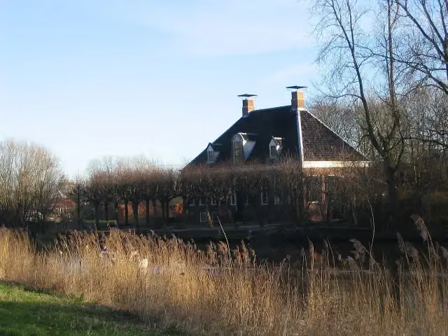 VliethovenCastle · 8.2 km from the route
- 4
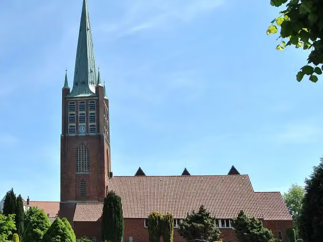 JaL-BibliothekAttraction · 428 m from the route
- 5
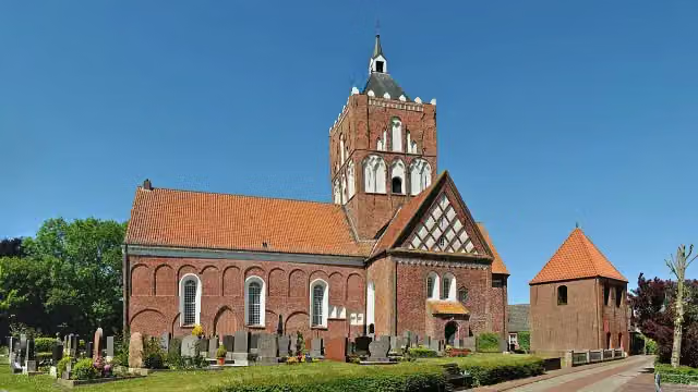 Pilsumer KreuzkircheAttraction · 115 m from the route
- 6
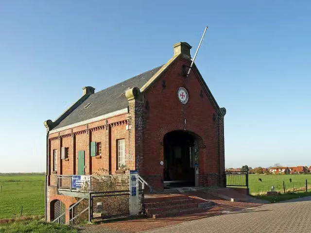 Historische Rettungsstation Harlesiel (Deutsches Sielhafenmuseum)Museum · 123 m from the route
- 7
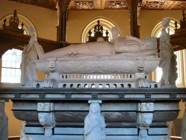 Edo-Wiemken-DenkmalMemorial · 129 m from the route
- 8
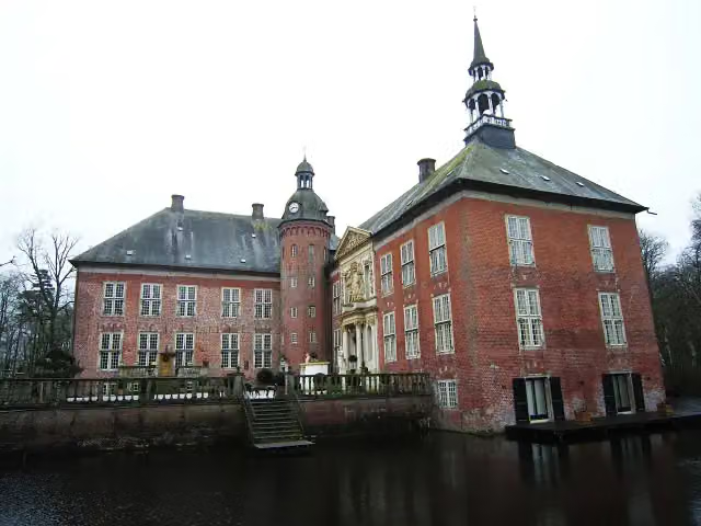 Schloss GödensCastle · 130 m from the route
- 9
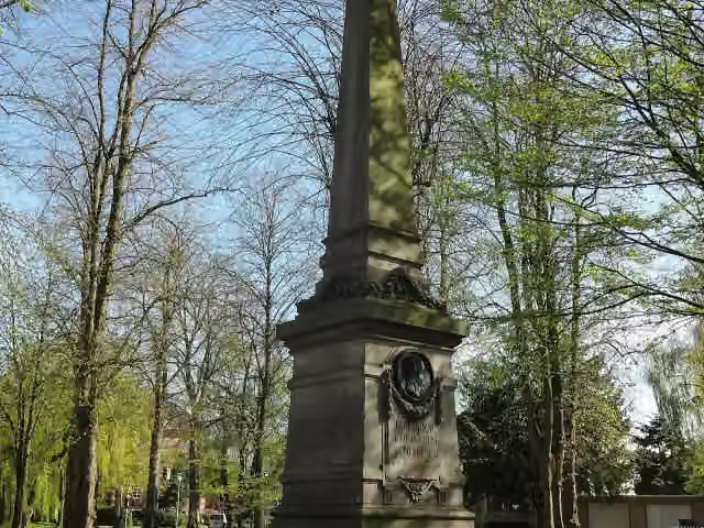 Friedrich Christoph Schlosser DenkmalAttraction · 141 m from the route
- 10
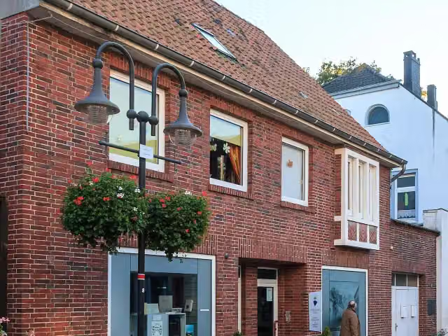 GröschlerHausMuseum · 145 m from the route
- 11
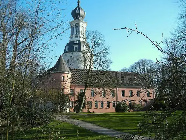 Schlossmuseum JeverMuseum · 150 m from the route
- 12
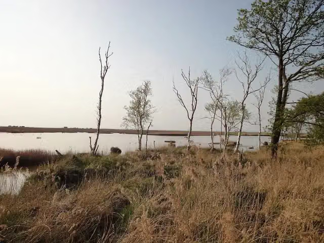 Schwimmendes MoorAttraction · 152 m from the route
- 13
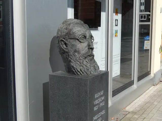 Rudolf-Virchow-DenkmalMemorial · 160 m from the route
- 14
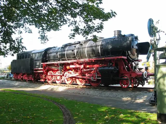 Dampflok 043 903-4Attraction · 164 m from the route
- 15
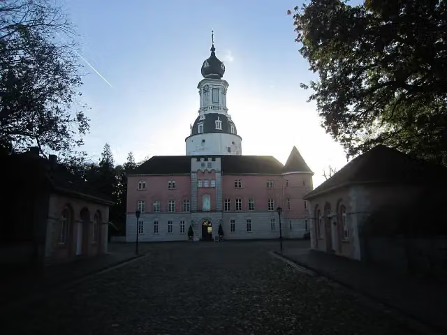 Schloss JeverMuseum · 167 m from the route
- 16
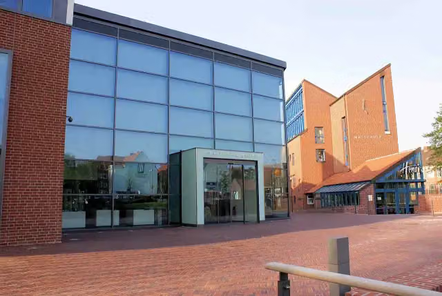 Kunsthalle EmdenAttraction · 170 m from the route
- 17
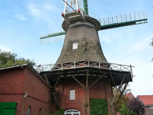 Tjücher WindmühleAttraction · 175 m from the route
- 18
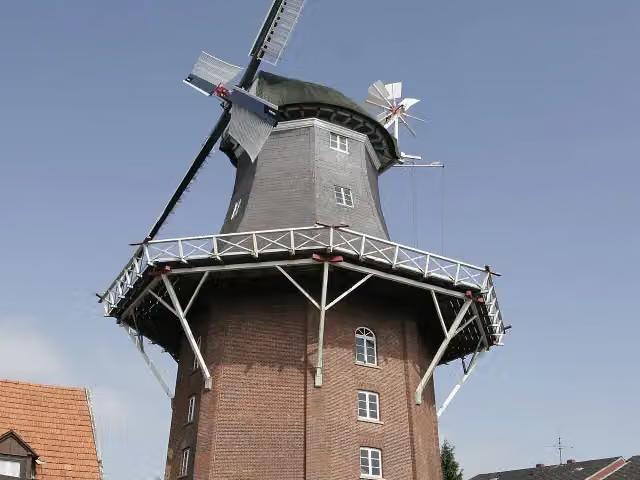 Vareler WindmühleMuseum · 183 m from the route
- 19
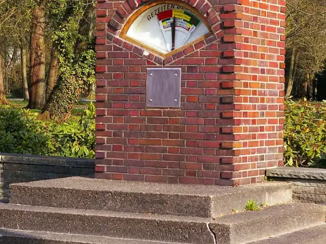 GezeitenanzeigerAttraction · 186 m from the route
- 20
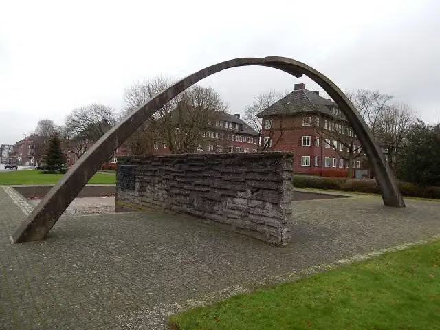 Berliner Mauer GedenkstätteMemorial · 193 m from the route
- 21
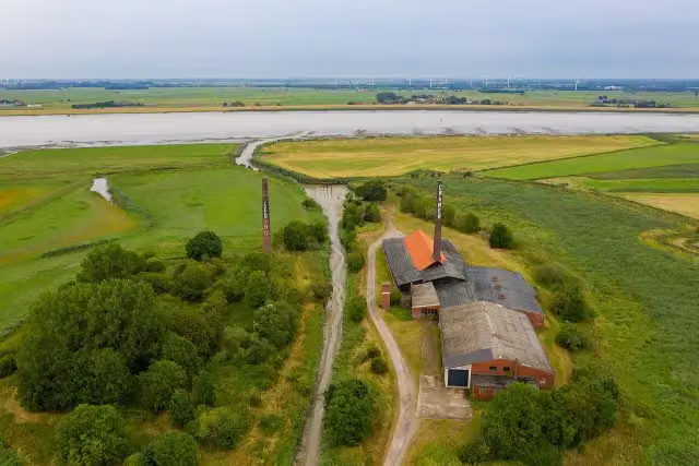 ZiegeleimuseumMuseum · 206 m from the route
- 22
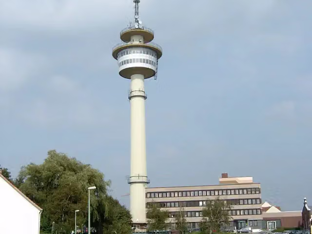 RadarturmViewpoint · 208 m from the route
- 23
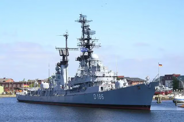 Zerstörer MöldersAttraction · 212 m from the route
- 24
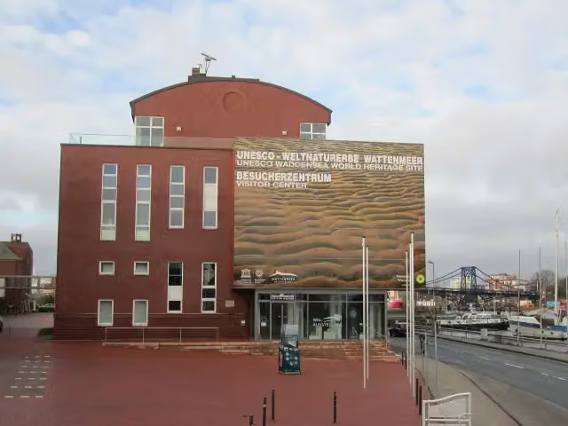 Wattenmeerhaus, UNESCO-Weltnaturerbe Wattenmeer Besucherzentrum WilhelmshavenMuseum · 216 m from the route
- 25
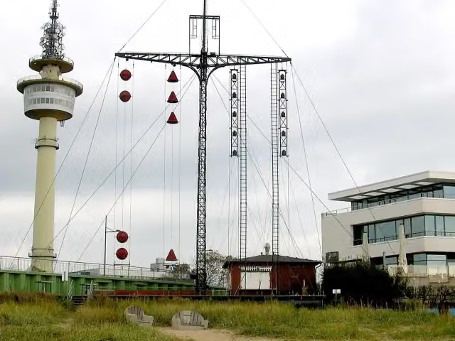 WasserstandsanzeigerAttraction · 224 m from the route
Explore more
Frequently asked questions
How long is Nordseeküstenroute (Niedersachsen-Niederlande-Bremerhaven)?
Nordseeküstenroute (Niedersachsen-Niederlande-Bremerhaven) is 377.5 km long. Allow ± 25:10 h of riding: 15 km an hour, without breaks.
Is this route a circular ride?
No, the route runs from Grenze Niederlande to Bremerhaven.
Where does this route start?
The route starts in Oldambt.
How hard is this route?
Hard, with 109 m of climbing.
Are there toilets along this route?
Yes, there are 51 public toilets within 100 m of the route. The longest stretch without a toilet is 37.9 km.
Can you fill up with water along this route?
Yes, there are 10 water fountains and refill points within 100 m of the route.
What is there to see along this route?
Along the way you pass Kesselschleuse Emden, Rysumer Mühle and Rysumer Kirche.
Can I download this route as a GPX file?
Yes. Sign in with your Outdoor Pitstop account and choose Download GPX at the top of this page: 10 routes a month for free, unlimited with Pro.
Starting point
More routes from this place
Route data © OpenStreetMap contributors





