 Outdoor Pitstop
Cycle route · Sluis · Updated on 6 November 2026
Euroroute R1 - deel Nederland cycle route
Euroroute R1 - deel Nederland is a cycle route of 460.9 km from Sluis. Along the way you'll find 1,495 benches and picnic tables, 42 water fountains and refill points, 70 public toilets, 4 bike pumps and 1 food stand.
i
i
i
The route step by step
From start to finish, with what you pass along the way and the distance in between.
- 460.9 km
- ± 6:10 h per stage
- Hard per stage
- From A to B
- International route
Start in Sluis
0 km3.5 km · 17 benches

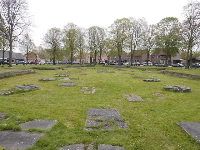
Sint-Janskerk
3.5 kmRuins
7.3 km · 15 benches
5 public toilets
10.7 km3.9 km · 29 benches
Public toilet
14.7 km12.2 km · 59 benches
Public toilet
26.9 km6.6 km · 12 benches
2 public toilets, 2 water fountains and refill points and 2 bike pumps
33.5 km2.4 km · 66 benches
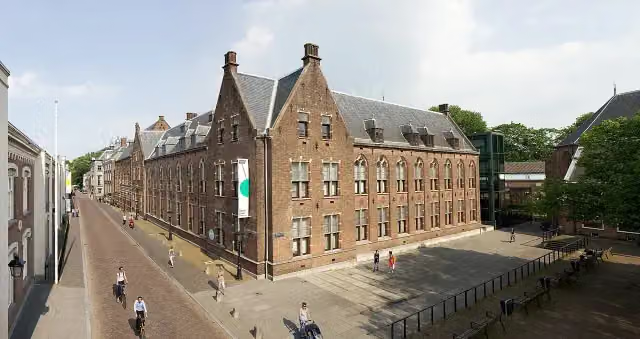
MuZEEum
35.9 kmMuseum
297 m · 18 benches
Keizersbolwerk
36.2 kmCastle
1.5 km · 48 benches
2 water fountains and refill points
37.7 km592 m · 5 benches
Public toilet
38.3 km1.5 km · 2 benches
Public toilet
39.9 km1.5 km · 28 benches
3 public toilets and water point
41.4 km817 m · 6 benches
Bike pump
42.2 km666 m · 2 benches
Public toilet
42.9 km3.5 km · 14 benches
Public toilet
46.4 km468 m · 4 benches
Public toilet
46.8 km289 m · 3 benches
Water point
47.1 km269 m · 8 benches
Public toilet
47.4 km1.2 km · 3 benches
Public toilet
48.6 km2.6 km · 21 benches
De Schoppesteele
51.1 kmMemorial
594 m · 15 benches
2 public toilets
5.7 km · 27 benches
Public toilet
57.4 km1.3 km · 19 benches
2 public toilets
58.7 km6.6 km · 10 benches
Public toilet
65.3 km3.1 km · 5 benches
Observation tower
68.5 kmPublic toilet
380 m · 5 benches
Public toilet
68.8 km415 m · 7 benches
Public toilet
69.3 km518 m · 4 benches
Public toilet
69.8 km458 m · bench
2 public toilets
70.2 km1.2 km · 2 benches
Public toilet
71.5 km
Show the other 69 steps
789 m · 3 benches
Public toilet
72.3 km11.1 km · 11 benches
Public toilet
83.3 km4.7 km · 9 benches
Public toilet and water point
88 km8.7 km · 21 benches
Public toilet
96.7 km2.6 km · 7 benches
Public toilet
99.3 km1.1 km · 11 benches
Public toilet
100.5 km2.8 km · bench
Public toilet
103.3 km2.6 km
Public toilet
105.9 km781 m
Public toilet
106.7 km1.8 km
Public toilet
108.5 km6.6 km · 11 benches
Public toilet
115.1 km3 km · 23 benches
Observation tower
118.2 kmWater point
22.3 km · 27 benches
Public toilet
140.4 km3.1 km · 8 benches
Water point
143.5 km232 m · 3 benches
Public toilet
143.8 km25.6 km · 27 benches
Public toilet and water point
169.4 km2.1 km · 12 benches
Water point
171.4 km7.2 km · 16 benches
Public toilet and water point
178.6 km5.3 km · 12 benches
Public toilet
183.9 km1.3 km · 7 benches
Water point
185.2 km1.7 km · 15 benches
Water point
186.9 km581 m · 6 benches
Water point
187.5 km3 km · 21 benches
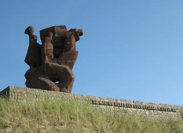
Nationaal Monument voor de Koninklijke Marine
190.5 kmWater point
168 m · 7 benches
Water point
190.7 km410 m · 30 benches
2 public toilets
191.1 km627 m · 43 benches
Museum Beelden aan Zee
191.7 kmMuseum · Audio story · 2 min
152 m · 3 benches
Public toilet
191.9 km554 m · bench
4 public toilets and water point
192.4 km1.8 km · 6 benches
Public toilet, water point and bike pump
194.2 km3.5 km · 13 benches
Water point
197.7 km2.8 km · 17 benches
Water point
200.5 km15.7 km · 20 benches
Public toilet
216.2 km4.3 km · 11 benches
Molen "de Haas"
220.5 kmViewpoint
3.7 km
Food stand
224.1 km9.6 km · 32 benches
Boomkwekerijmuseum
233.8 kmMuseum
6.1 km · 7 benches
Water point
239.9 km266 m · 2 benches
Water point
240.1 km11.2 km · 17 benches
Stadsmuseum Woerden
251.4 kmWater point
234 m
Kasteel van Woerden
251.6 kmCastle
12.3 km · 12 benches
2 public toilets
263.9 km3.3 km · 13 benches
Water point
267.2 km3.2 km · 25 benches
Water point
270.4 km6.1 km · 69 benches
Water point
276.5 km1.2 km · 14 benches
Kasteel Oudaen
277.7 kmPublic toilet
400 m · 15 benches
Anne Frank
278.1 km3 public toilets and water point
295 m · bench
Verzetsmonument and 3 more
278.4 kmPaleis Lofen, Dom tower, Hugo Wstinc and public toilet
261 m · 2 benches
Abdij van St. Paulus and 1 more
278.7 kmUtrecht Archives Expo
225 m · 5 benches
Museum Catharijneconvent
278.9 kmMuseum · Audio story · 2 min
336 m · 5 benches
Oude Hortus and 1 more
279.2 kmMiffy Museum
151 m · bench
Centraal Museum
279.4 kmMuseum · Audio story · 2 min
336 m · 17 benches
Water point
279.7 km1.6 km · 40 benches
Public toilet and water point
281.3 km489 m · 26 benches
Rietveld-Schröderhuis
281.8 kmMuseum · Audio story · 2 min
8.5 km · 46 benches
2 public toilets
290.3 km366 m · bench
Slot Zeist
290.6 kmCastle
262 m · 2 benches
Museum Het Hernhutter Huis
290.9 kmMuseum
2.5 km · 10 benches
Public toilet and water point
293.4 km18.3 km · 14 benches
Water point
311.7 km4.8 km · 4 benches
Tabaksteeltmuseum
316.5 kmWater point
1.3 km · 4 benches
Water point
317.8 km12.7 km · 21 benches
Water point
330.5 km375 m
Water point
330.8 km4.9 km · 9 benches
Hoornwerk aan de Grebbe
335.7 kmFort
27.7 km · 83 benches
2 water fountains and refill points
363.4 km352 m · 9 benches
Public toilet and water point
363.8 km1.2 km · 9 benches
Water point
365 km10.7 km · 20 benches
Public toilet and water point
375.7 km60.3 km · 95 benches
Water point
435.9 km25 km · 8 benches
Finish
460.9 km
Longest stretch without a toilet: 85.2 kmBetween 375.7 km and 460.9 km there is no public toilet within 100 m of the route.
The route with the water points, toilets and sights within 100 m of it.
30 sights along the way
In the order you pass them. With the Outdoor Pitstop app you hear their story on the spot. 22 more along the route are on the map.
Sint-Janskerk
Ruins · after 3.5 km
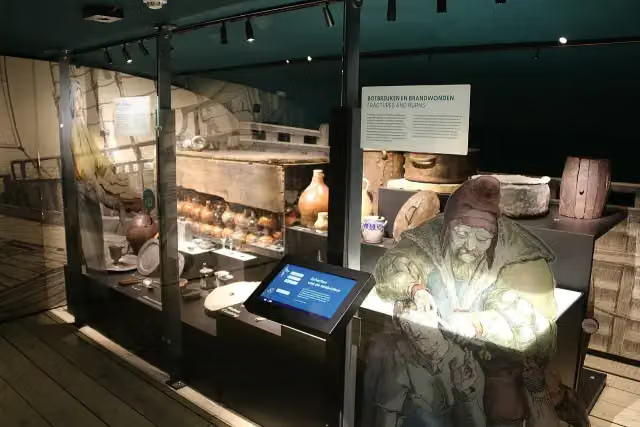
MuZEEum
Museum · after 35.9 km
Keizersbolwerk
Castle · after 36.2 km
 Story
Memorial · after 51.1 km
Monument voor 4e Commando Brigade
Memorial · after 51.7 km
Observation tower · after 68.5 km
Observation tower · after 118.2 km
i
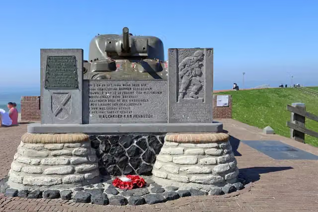
Photo: Ilonamay · Wikimedia Commons · CC BY-SA 3.0View the photo on Wikimedia CommonsMemorial · after 190.5 km
Stages (5)
Elevation and terrain
Way types
460.9 km in total- Cycle path: 200.7 km
- Road: 173.5 km
- Street: 41.9 km
- Path: 10.3 km
- Track: 5.1 km
- Busy road: 4.5 km
- Footpath (walk your bike): 2.3 km
- Unknown: 21.4 km
Surfaces
460.9 km in total- Asphalt: 284.5 km
- Paved: 79 km
- Gravel: 21.6 km
- Unpaved: 525 m
- Natural: 150 m
- Unknown: 73.9 km
About the cycle route Euroroute R1 - deel Nederland
Updated on 6 November 2026, with data from OpenStreetMap and the AHN.
Where do you cycle?
Euroroute R1 - deel Nederland is a cycle route of 460.9 km that starts in Sluis. It does not end where it starts. Along the way you pass Sint-Janskerk (after 3.5 km), MuZEEum (after 35.9 km) and Keizersbolwerk (after 36.2 km).
How hard is the route?
Allow ± 6:10 h per stage, without breaks. Per stage the level is hard.
What roads do you cycle on?
The longest part is cycle path (200.7 km), road (173.5 km) and street (41.9 km). Of the surface, 284.5 km asphalt and 79 km paved. For 73.9 km the surface is not known.
Pitstops along the way
Within 100 metres of the route there are 1,495 benches and picnic tables, 42 water fountains and refill points, 70 public toilets, 4 bike pumps and 1 food stand. The longest stretch without a toilet is 85.2 km. The Outdoor Pitstop app navigates you there.
This is the Euroroute R1 in the Netherlands, the Dutch part of the Europaradweg R1 from London to Moscow: about 460 km in five stages. From Sluis you ride past the Zwin and along the coast to Cadzand-Bad and Vlissingen, then across Walcheren via Zoutelande, Westkapelle and Domburg, over the Oosterschelde and the Kop van Schouwen to Goeree and Oostvoorne, and on to Hook of Holland. After Meijendel near The Hague, the last and longest stage heads east via Utrecht, Wageningen, Arnhem and Vorden to Zwilbroek. Over two fifths is cycle path. We know of 70 toilets, 42 water taps and four bike pumps on the way.
Part of Europaradweg R1
Website of the routeCycle routes nearby
3Sights nearby
Within 10 km of the route, best known first.
- 1
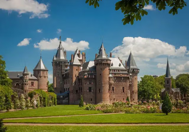 Kasteel de HaarAttraction · 186 m from the route
- 2
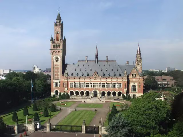 Peace PalaceAttraction · 2.1 km from the route
- 3
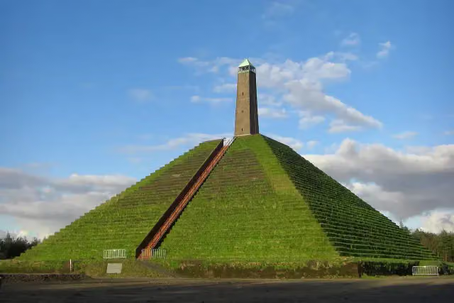 Pyramid of AusterlitzAttraction · 6.3 km from the route
- 4
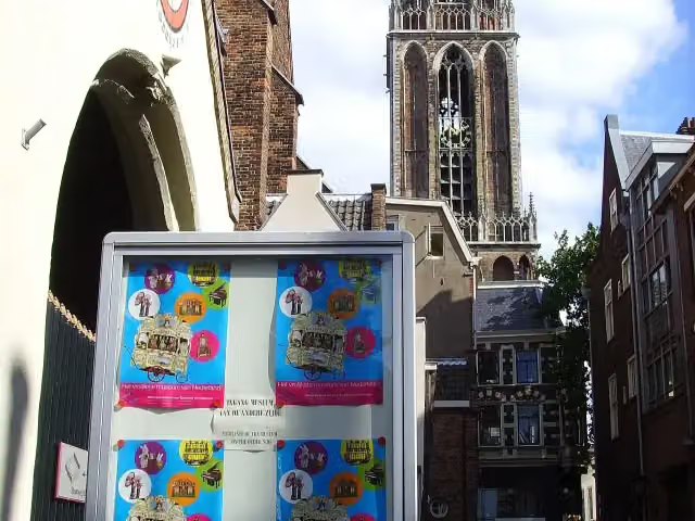 Museum SpeelklokMuseum · 140 m from the route
- 5
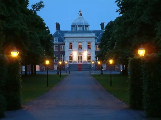 Huis ten BoschCastle · 3.3 km from the route
- 6
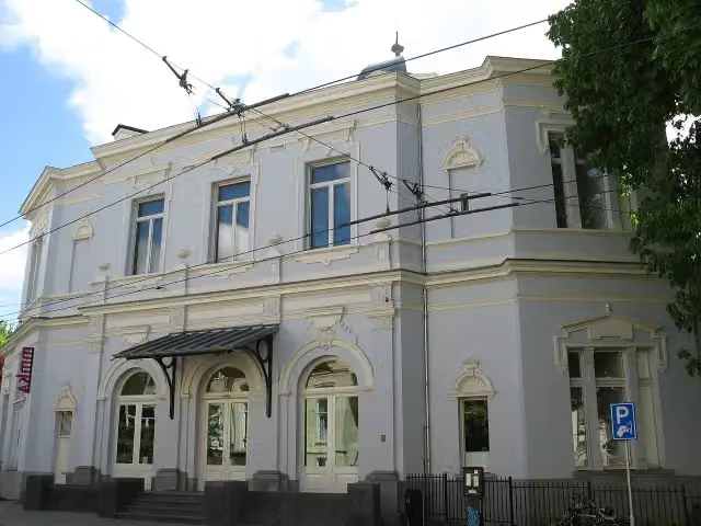 Museum ArnhemMuseum · 123 m from the route
- 7
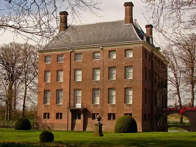 Kasteel AmerongenCastle · 190 m from the route
- 8
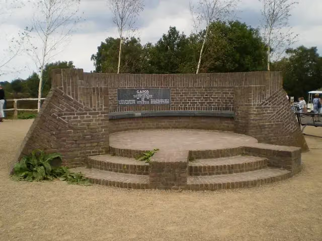 PosbankMemorial · 212 m from the route
- 9
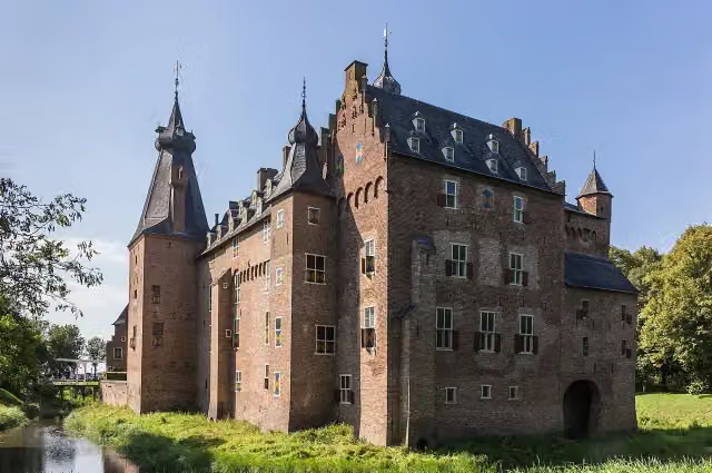 Kasteel DoorwerthCastle · 344 m from the route
- 10
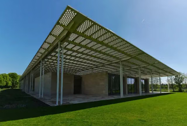 Museum VoorlindenMuseum · 626 m from the route
- 11
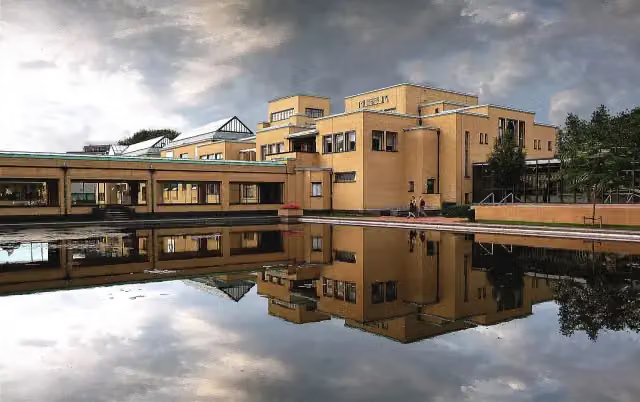 Kunstmuseum Den HaagMuseum · 1.1 km from the route
- 12
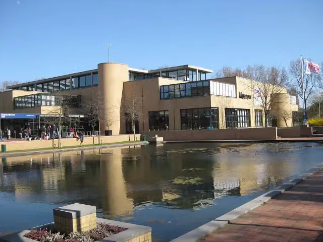 Museon-OmniversumMuseum · 1.1 km from the route
- 13
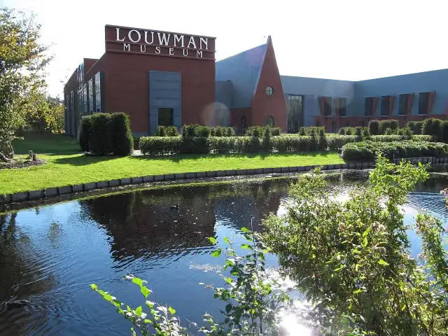 Louwman MuseumMuseum · 2.4 km from the route
- 14
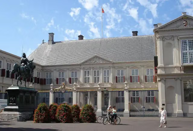 Paleis NoordeindeCastle · 3.1 km from the route
- 15
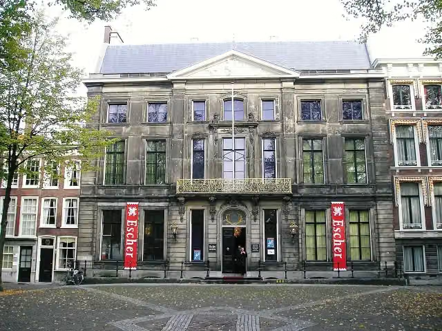 Escher in Het PaleisMuseum · 3.4 km from the route
- 16
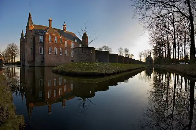 Slot ZuylenCastle · 4.2 km from the route
- 17
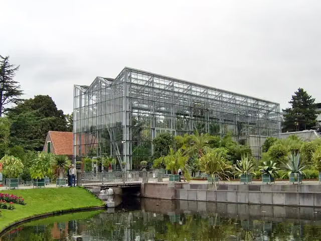 Hortus botanicus LeidenAttraction · 6.2 km from the route
- 18
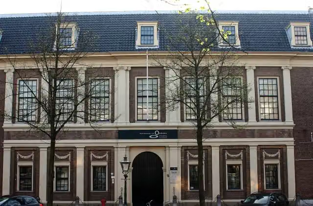 Rijksmuseum van OudhedenMuseum · 6.5 km from the route
- 19
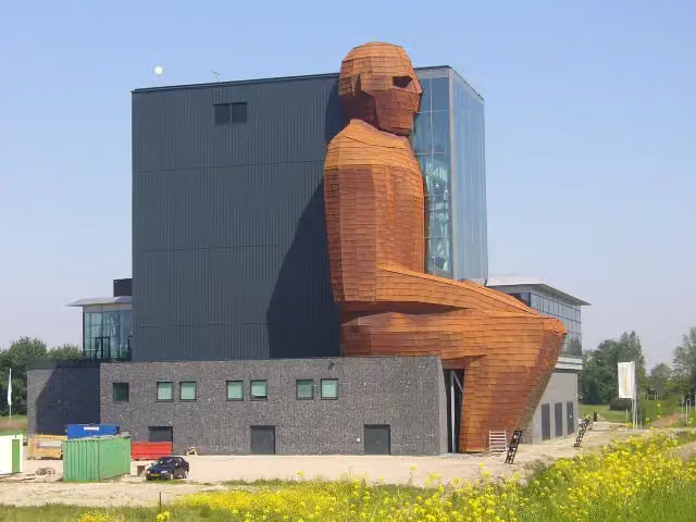 CorpusMuseum · 6.6 km from the route
- 20
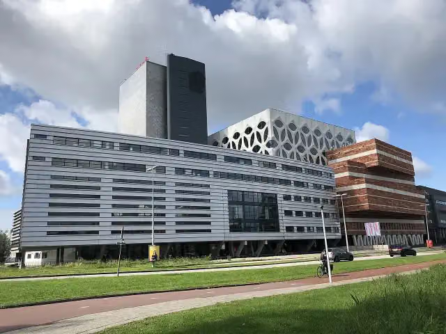 Naturalis Biodiversity CentreMuseum · 6.6 km from the route
- 21
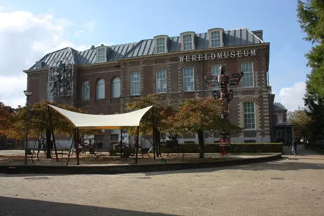 Wereldmuseum LeidenMuseum · 6.8 km from the route
- 22
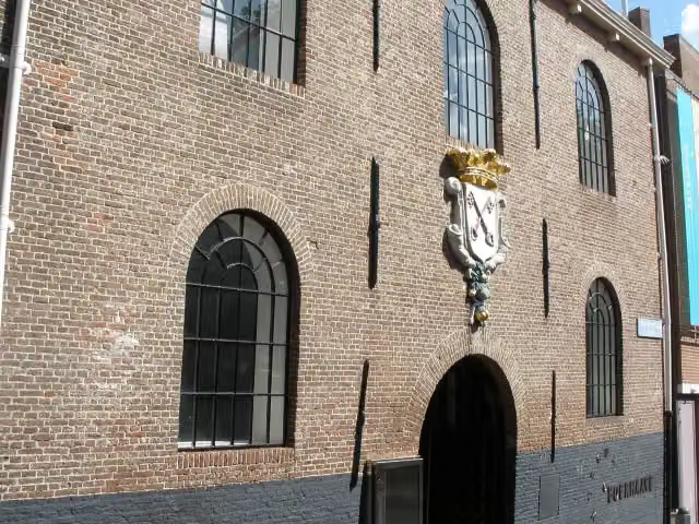 Rijksmuseum BoerhaaveMuseum · 6.9 km from the route
- 23
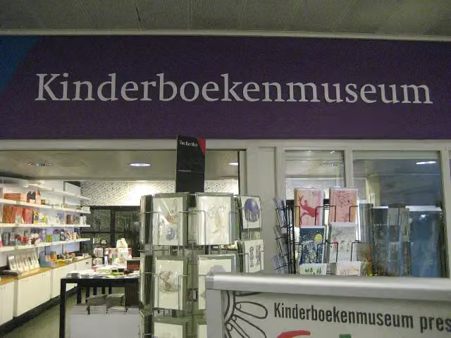 KinderboekenmuseumMuseum · 4.2 km from the route
- 24
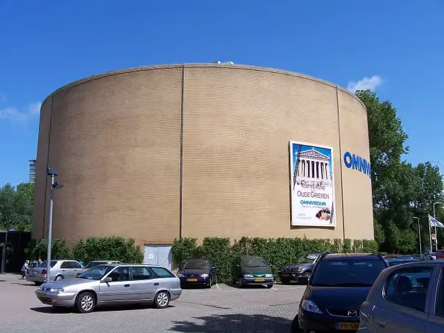 OmniversumAttraction · 1.2 km from the route
- 25
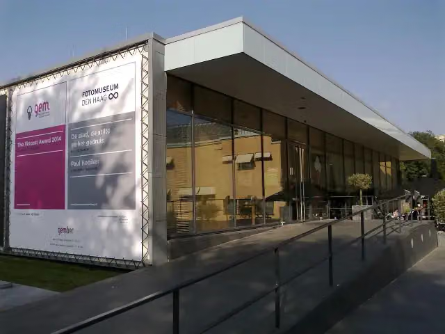 Fotomuseum Den HaagMuseum · 991 m from the route
Explore more
Frequently asked questions
How long is Euroroute R1 - deel Nederland?
Euroroute R1 - deel Nederland is 460.9 km long, in 5 stages of 92.2 km on average. Allow ± 6:10 h per stage of riding: 15 km an hour, without breaks.
Is this route a circular ride?
No, the route starts and ends at different spots.
Where does this route start?
The route starts in Sluis.
How hard is this route?
Hard per stage.
Are there toilets along this route?
Yes, there are 70 public toilets within 100 m of the route. The longest stretch without a toilet is 85.2 km.
Can you fill up with water along this route?
Yes, there are 42 water fountains and refill points within 100 m of the route.
What is there to see along this route?
Along the way you pass Sint-Janskerk, MuZEEum and Keizersbolwerk.
Starting point
More routes from this place
Route data © OpenStreetMap contributors





