 Outdoor Pitstop
Cycle route · Vlissingen · Updated on 5 November 2026
Euroroute R1 - Vlissingen - Oostvoorne cycle route
Euroroute R1 - Vlissingen - Oostvoorne is a cycle route of 112.4 km from Vlissingen. Along the way: 459 benches and picnic tables, 8 water fountains and refill points, 37 public toilets and 2 bike pumps.
i
i
i
The route step by step
From start to finish, with what you pass along the way and the distance in between.
- 112.4 km
- ± 7:30 h
- ↑ 151 m · ↓ 149 m
- Hard
- From A to B
- International route
Start in Vlissingen
0 kmAt the start: public toilet, water point and bike pump.
2.4 km · 48 benches

MuZEEum
2.4 kmMuseum
297 m · 18 benches
Keizersbolwerk
2.7 kmCastle
1.5 km · 48 benches
2 water fountains and refill points
4.2 km592 m · 5 benches
Public toilet
4.8 km1.5 km · 2 benches
Public toilet
6.3 km1.5 km · 28 benches
3 public toilets and water point
7.8 km817 m · 6 benches
Bike pump
8.7 km666 m · 2 benches
Public toilet
9.3 km3.5 km · 14 benches
Public toilet
12.8 km468 m · 4 benches
Public toilet
13.3 km289 m · 3 benches
Water point
13.6 km269 m · 8 benches
Public toilet
13.8 km1.2 km · 3 benches
Public toilet
15 km2.6 km · 21 benches
De Schoppesteele
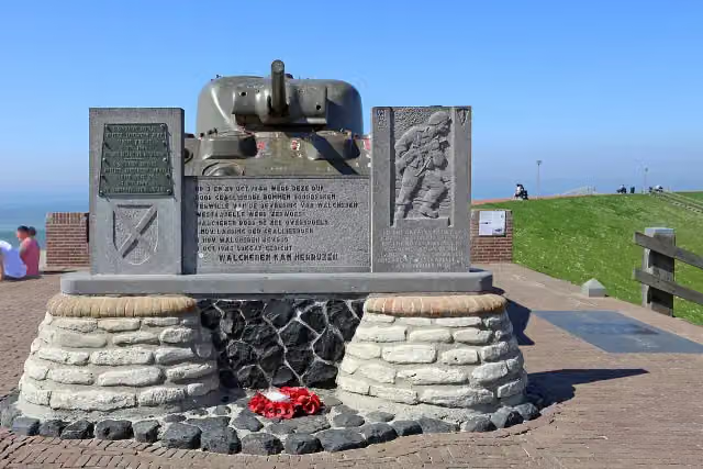
17.6 kmMemorial
594 m · 15 benches
2 public toilets
5.7 km · 27 benches
Public toilet
23.9 km1.3 km · 19 benches
2 public toilets
25.2 km6.6 km · 10 benches
Public toilet
31.8 km3.1 km · 5 benches
Observation tower
34.9 kmPublic toilet
380 m · 5 benches
Public toilet
35.3 km415 m · 7 benches
Public toilet
35.7 km518 m · 4 benches
Public toilet
36.2 km458 m · bench
2 public toilets
36.7 km1.2 km · 2 benches
Public toilet
37.9 km789 m · 3 benches
Public toilet
38.7 km11.1 km · 11 benches
Public toilet
49.8 km4.7 km · 9 benches
Public toilet and water point
54.5 km8.7 km · 21 benches
Public toilet
63.2 km2.6 km · 7 benches
Public toilet
65.8 km
Show the other 11 steps
1.1 km · 11 benches
Public toilet
66.9 km2.8 km · bench
Public toilet
69.7 km2.6 km
Public toilet
72.3 km781 m
Public toilet
73.1 km1.8 km
Public toilet
75 km6.6 km · 11 benches
Public toilet
81.6 km3 km · 23 benches
Observation tower
84.6 kmWater point
22.3 km · 27 benches
Public toilet
106.9 km3.1 km · 8 benches
Water point
110 km232 m · 3 benches
Public toilet
110.2 km2.2 km · 7 benches
Finish
112.4 km
Longest stretch without a toilet: 25.3 kmBetween 81.6 km and 106.9 km there is no public toilet within 100 m of the route.
The route with the pitstops and sights within 100 m of it.
6 sights along the way
In the order you pass them. With the Outdoor Pitstop app you hear their story on the spot.
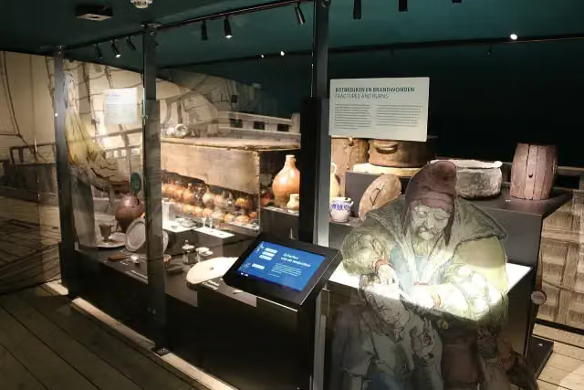
MuZEEum
Museum · after 2.4 km
Keizersbolwerk
Castle · after 2.7 km
 Story
Memorial · after 17.6 km
Monument voor 4e Commando Brigade
Memorial · after 18.2 km
Observation tower · after 35 km
Observation tower · after 84.6 km
Elevation and terrain
- Up
- ↑ 151 m
- Down
- ↓ 149 m
- Highest point
- 17 m
- Lowest point
- 0 m
Nowhere steeper than 5%.
Elevation from AHN (Rijkswaterstaat), smoothed.
Way types
112.4 km in total- Cycle path: 58.7 km
- Road: 38.7 km
- Street: 11.6 km
- Busy road: 1.5 km
- Footpath (walk your bike): 1.4 km
- Path: 175 m
- Track: 100 m
Surfaces
112.4 km in total- Asphalt: 72.6 km
- Paved: 14.5 km
- Gravel: 6.5 km
- Unknown: 18.5 km
About the cycle route Euroroute R1 - Vlissingen - Oostvoorne
Updated on 5 November 2026, with data from OpenStreetMap and the AHN.
Where do you cycle?
Euroroute R1 - Vlissingen - Oostvoorne is a cycle route of 112.4 km that starts in Vlissingen. It does not end where it starts. Along the way you pass MuZEEum (after 2.4 km), Keizersbolwerk (after 2.7 km) and De Schoppesteele (after 17.6 km).
How hard is the route?
You climb 151 m in total and descend 149 m. Allow ± 7:30 h, without breaks. The level is hard.
What roads do you cycle on?
The longest part is cycle path (58.7 km), road (38.7 km) and street (11.6 km). Of the surface, 72.6 km asphalt and 14.5 km paved. For 18.5 km the surface is not known.
Pitstops along the way
Within 100 metres of the route there are 459 benches and picnic tables, 8 water fountains and refill points, 37 public toilets and 2 bike pumps. The longest stretch without a toilet is 25.3 km. The Outdoor Pitstop app navigates you there.
Euroroute R1 - Vlissingen - Oostvoorne is a stage of just over 112 km of the Euroroute R1 along the coasts of Zeeland and South Holland. You ride from Vlissingen via Zoutelande, Westkapelle and Domburg across Walcheren, past the Oosterschelde to Schouwen and via Burgh, Goedereede and Stuifakker to Oostvoorne. On the way you pass through the Manteling van Walcheren, the Kop van Schouwen, the Goeree dunes and Voornes Duin, and in Vlissingen past the MuZEEum. More than half is cycle path. We know of 37 toilets, eight water taps and two bike pumps on the way.
Part of Euroroute R1 - deel Nederland
Website of the routeCycle routes nearby
6- LF Kustroute - 10 - Burgh Haamstede - VlissingenModerate · From A to B56.5 km
- LF Kustroute - 11 - Vlissingen - Cadzand-BadEasy · From A to B24.9 km
- Schelde-Rheinroute - 01 - Vlissingen - HansweertModerate · From A to B54.6 km
- Euroroute R1 - Sluis - VlissingenModerate · From A to B33.5 km
- EuroVelo 4 - Centraal-Europaroute - deel NederlandHard · From A to B327.6 km
- EuroVelo 12 - North Sea Cycle Route - part Nederland westHard · From A to B266.1 km
Sights nearby
Within 10 km of the route, best known first.
- 1
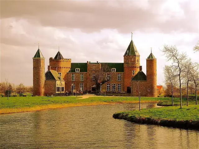 Westhove CastleCastle · 226 m from the route
- 2
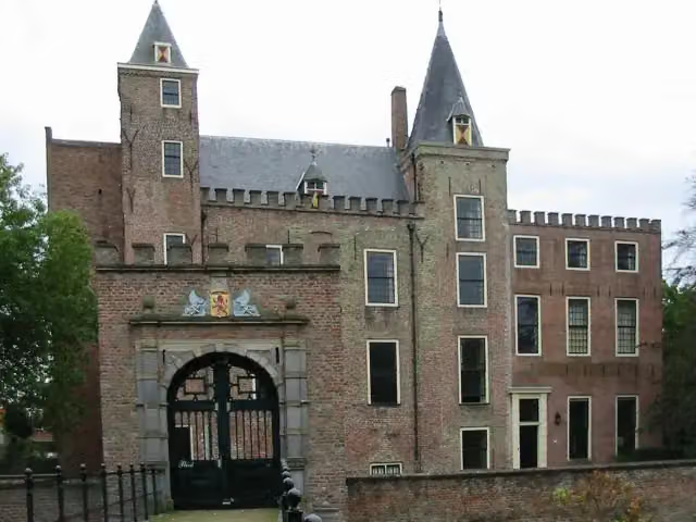 Slot HaamstedeAttraction · 436 m from the route
- 3
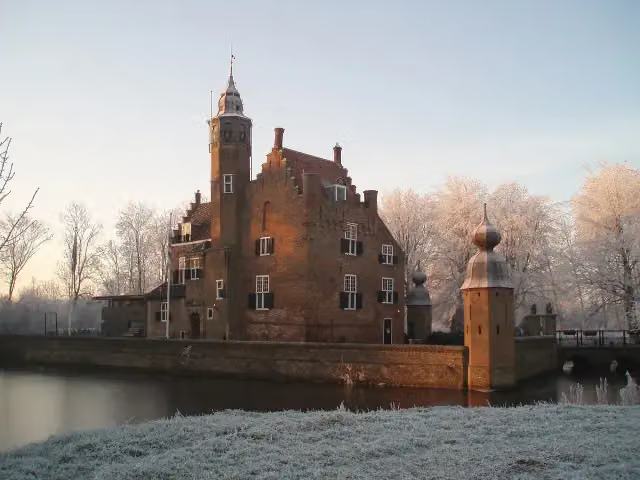 Slot MoermondCastle · 886 m from the route
- 4
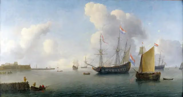 Fort RammekensAttraction · 4.1 km from the route
- 5
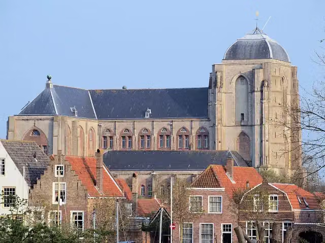 Grote KerkMuseum · 4.8 km from the route
- 6
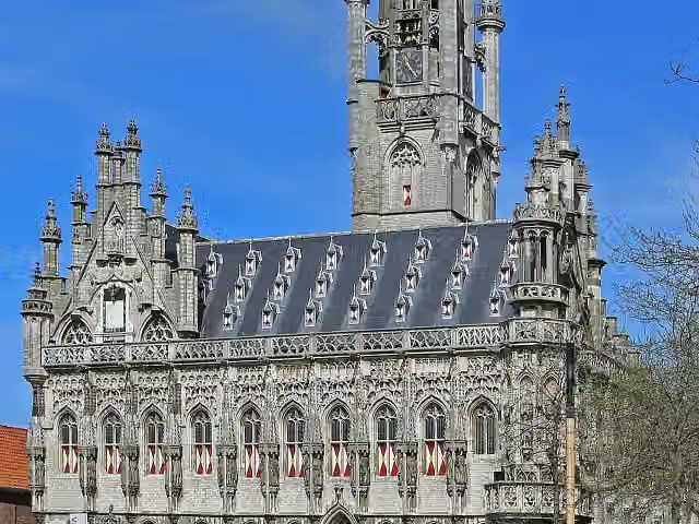 StadhuisAttraction · 6.2 km from the route
- 7
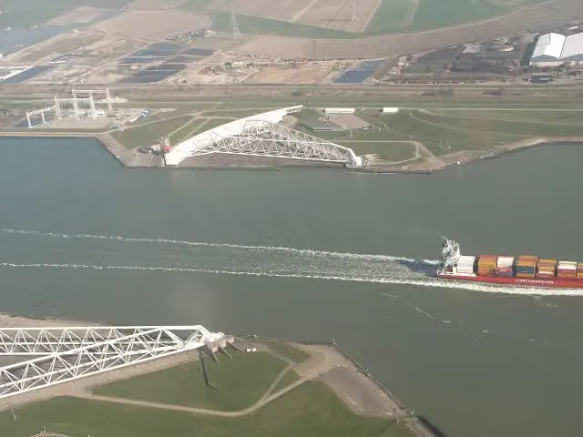 Maeslant BarrierAttraction · 7.8 km from the route
- 8
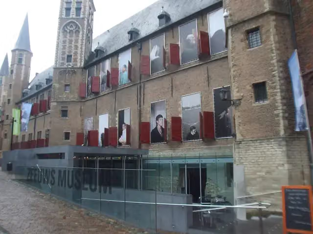 Zeeuws museumMuseum · 6.5 km from the route
- 9
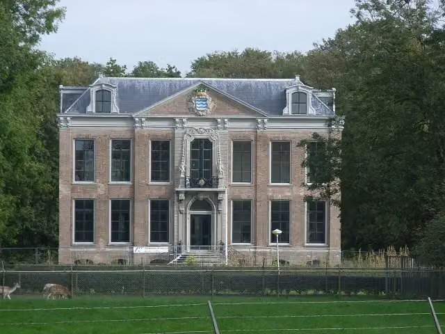 Huis der BoedeAttraction · 2.3 km from the route
- 10
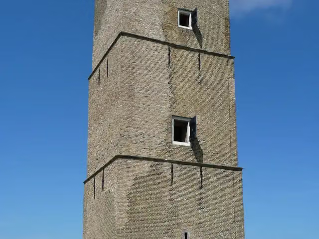 Stenen BaakAttraction · 4.8 km from the route
- 11
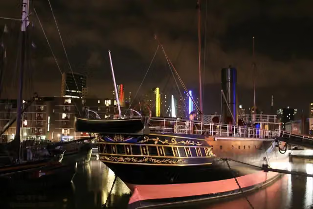 Museumschip "Buffel"Museum · 3.7 km from the route
- 12
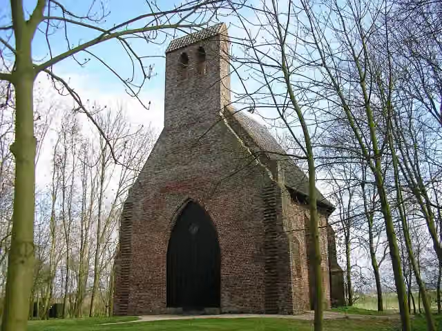 Kapel van Sint MaartenAttraction · 4 km from the route
- 13
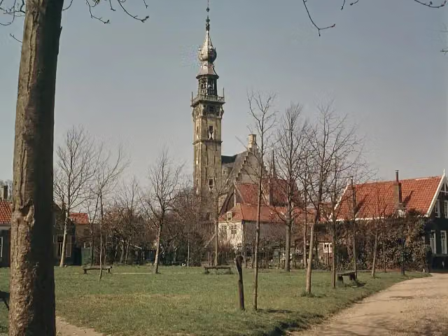 StadhuisAttraction · 4.6 km from the route
- 14
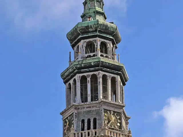 Lange JanAttraction · 6.4 km from the route
- 15
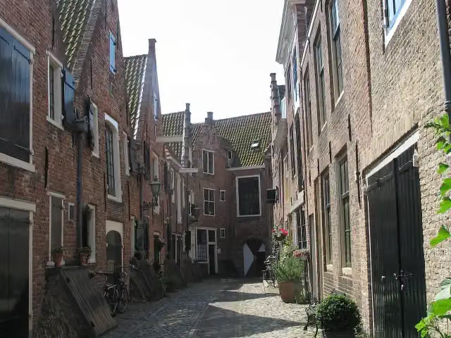 KuiperspoortAttraction · 6.5 km from the route
- 16
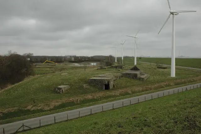 Fort de RuyterRuins · 930 m from the route
- 17
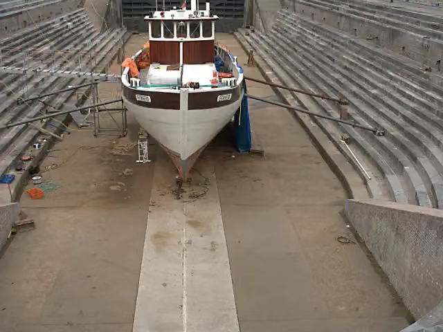 Droogdok Jan BlankenMuseum · 3.6 km from the route
- 18
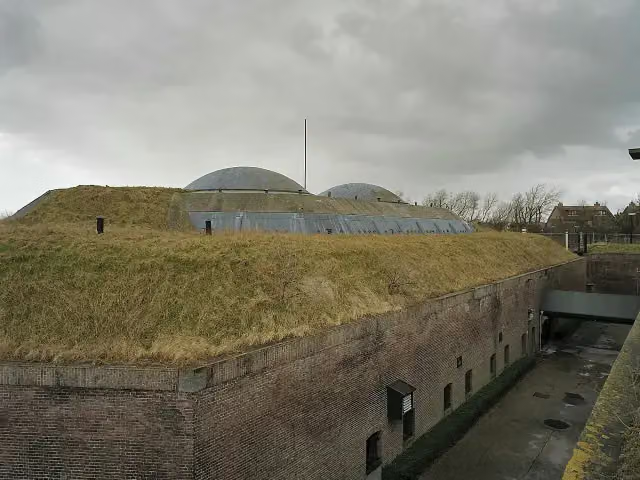 Fort aan den Hoek van HollandFort · 8.1 km from the route
- 19
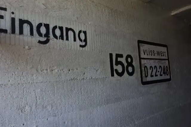 Bunkermuseum Bunker 2Museum · 144 m from the route
- 20
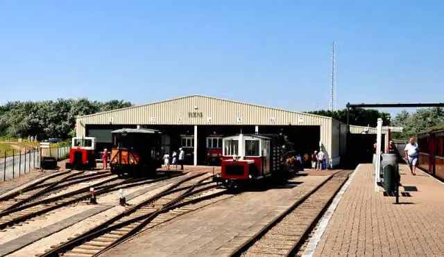 RTM OuddorpMuseum · 156 m from the route
- 21
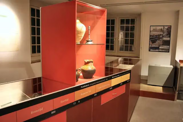 Historisch Museum Den BrielMuseum · 6 km from the route
- 22
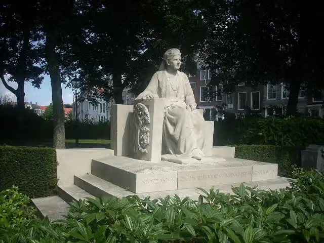 Koningin EmmaMemorial · 6.5 km from the route
- 23
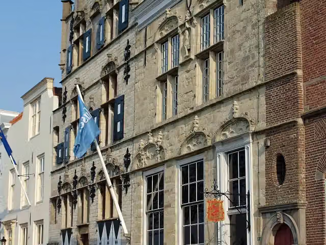 Veere Stadhuismuseum & De Schotse HuizenMuseum · 4.6 km from the route
- 24
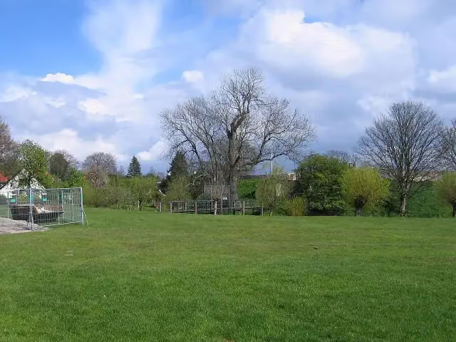 JacobaburchtCastle · 2 km from the route
- 25
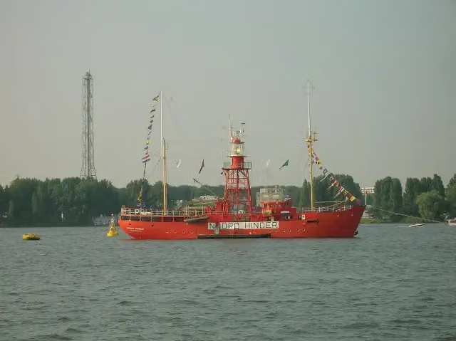 Noord-HinderMuseum · 3.8 km from the route
Explore more
More cycle routes around Vlissingen
Frequently asked questions
How long is Euroroute R1 - Vlissingen - Oostvoorne?
Euroroute R1 - Vlissingen - Oostvoorne is 112.4 km long. Allow ± 7:30 h of riding: 15 km an hour, without breaks.
Is this route a circular ride?
No, the route starts and ends at different spots.
Where does this route start?
The route starts in Vlissingen.
How hard is this route?
Hard, with 151 m of climbing.
Are there toilets along this route?
Yes, there are 37 public toilets within 100 m of the route. The longest stretch without a toilet is 25.3 km.
Can you fill up with water along this route?
Yes, there are 8 water fountains and refill points within 100 m of the route.
What is there to see along this route?
Along the way you pass MuZEEum, Keizersbolwerk and De Schoppesteele.
Start place
More routes from this place
Route data © OpenStreetMap contributors





