 Outdoor Pitstop
Cycle route · Schouwen-Duiveland · Updated on 6 November 2026
LF Kustroute - 10 - Burgh Haamstede - Vlissingen cycle route
LF Kustroute - 10 - Burgh Haamstede - Vlissingen is a cycle route of 56.5 km from Schouwen-Duiveland. Along the way you'll find 349 benches and picnic tables, 6 water fountains and refill points, 27 public toilets and 2 bike pumps.
i
i
i
The route step by step
From start to finish, with what you pass along the way and the distance in between.
- 56.5 km
- ± 3:45 h
- ↑ 77 m · ↓ 72 m
- Moderate
- From A to B
- National route
- Colour of the signs
Start in Schouwen-Duiveland
0 km2 km · 9 benches
Public toilet and water point
2 km4.7 km · 9 benches
Public toilet
6.7 km11.1 km · 11 benches
Public toilet
17.7 km789 m · 3 benches
Public toilet
18.5 km1.2 km · 2 benches
2 public toilets
19.7 km526 m · bench
Public toilet
20.2 km518 m · 4 benches
Public toilet
20.7 km415 m · 8 benches
Public toilet
21.1 km325 m · 4 benches

Observation tower
21.5 kmPublic toilet
3.2 km · 5 benches
Public toilet
24.7 km6.6 km · 10 benches
2 public toilets
31.3 km1.3 km · 19 benches
Public toilet
32.6 km5.5 km · 24 benches
2 public toilets
703 m · 18 benches
De Schoppesteele
38.9 kmMemorial
2.6 km · 21 benches
Public toilet
41.4 km1.2 km · 3 benches
Public toilet
42.6 km269 m · 9 benches
Water point
42.9 km290 m · 2 benches
Public toilet
43.2 km467 m · 4 benches
Public toilet
43.6 km3.5 km · 14 benches
Public toilet
47.1 km666 m · 2 benches
Bike pump
47.8 km694 m · 6 benches
3 public toilets and water point
48.5 km1.7 km · 28 benches
Public toilet
50.2 km1.5 km · 2 benches
Public toilet
51.7 km573 m · 5 benches
2 water fountains and refill points
52.2 km1.5 km · 48 benches
Keizersbolwerk
53.8 kmCastle
296 m · 18 benches
MuZEEum
54.1 kmMuseum
2.4 km · 60 benches
Finish
56.5 kmAt the finish: public toilet, water point and bike pump.
Longest stretch without a toilet: 11.1 kmBetween 6.7 km and 17.7 km there is no public toilet within 100 m of the route.
The route with the pitstops and sights within 100 m of it.
5 sights along the way
In the order you pass them. With the Outdoor Pitstop app you hear their story on the spot.

Observation tower · after 21.5 km
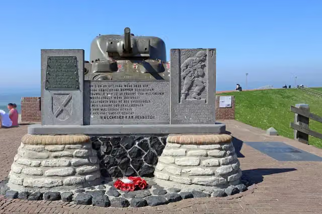
Monument voor 4e Commando Brigade
Memorial · after 38.3 km
- Story
Memorial · after 38.9 km
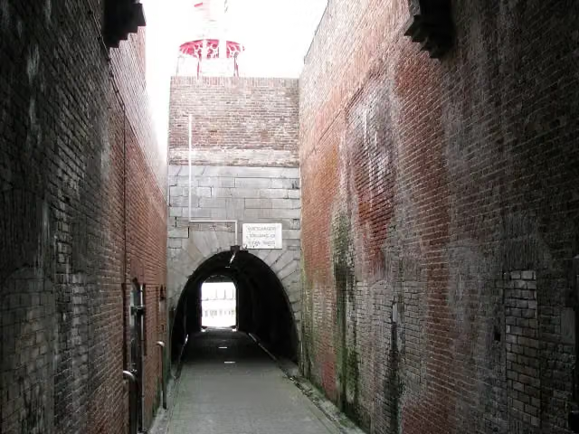
Keizersbolwerk
Castle · after 53.8 km
MuZEEum
Museum · after 54.1 km
Elevation and terrain
- Up
- ↑ 77 m
- Down
- ↓ 72 m
- Highest point
- 14 m
- Lowest point
- 1 m
Nowhere steeper than 5%.
Elevation from AHN (Rijkswaterstaat), smoothed.
Way types
56.5 km in total- Cycle path: 24.5 km
- Road: 20.9 km
- Street: 8 km
- Busy road: 1.5 km
- Footpath (walk your bike): 1.1 km
- Track: 125 m
- Path: 125 m
Surfaces
56.5 km in total- Asphalt: 36.8 km
- Paved: 7.3 km
- Gravel: 4.4 km
- Unknown: 7.8 km
About the cycle route LF Kustroute - 10 - Burgh Haamstede - Vlissingen
Updated on 6 November 2026, with data from OpenStreetMap and the AHN.
Where do you cycle?
LF Kustroute - 10 - Burgh Haamstede - Vlissingen is a cycle route of 56.5 km that starts in Schouwen-Duiveland. It does not end where it starts. You start in Burgh Haamstede and finish in Vlissingen. Along the way you pass Observation tower (after 21.5 km), Monument voor 4e Commando Brigade (after 38.3 km) and De Schoppesteele (after 38.9 km).
How hard is the route?
You climb 77 m in total and descend 72 m. Allow ± 3:45 h, without breaks. The level is moderate.
What roads do you cycle on?
The longest part is cycle path (24.5 km), road (20.9 km) and street (8 km). Of the surface, 36.8 km asphalt and 7.3 km paved. For 7.8 km the surface is not known.
Pitstops along the way
Within 100 metres of the route there are 349 benches and picnic tables, 6 water fountains and refill points, 27 public toilets and 2 bike pumps. You can fill your bottle after 2 km, after 42.9 km, after 48.6 km, after 52.2 km, after 52.3 km and at the finish. The longest stretch without a toilet is 11.1 km. The Outdoor Pitstop app navigates you there.
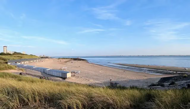
This stage of the LF Kustroute is a cycle route of just over 56 km from Burgh-Haamstede to Vlissingen. You ride through Westenschouwen past Oosterschelde National Park to Walcheren, then along the coast through Domburg, Westkapelle, with its memorial to the 4th Commando Brigade, Zoutelande and Dishoek. You finish in Vlissingen by the Nollebos, the Keizersbolwerk and the MuZEEum. With almost 80 metres of climbing you regularly ride up into the dunes. There are 349 benches, 27 toilets, six water taps and two bike pumps along the route.
Source: Wikipedia (CC BY-SA)
Part of LF Kustroute
Website of the routeCycle routes nearby
3Sights nearby
Within 10 km of the route, best known first.
- 1
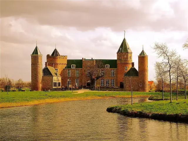 Westhove CastleCastle · 226 m from the route
- 2
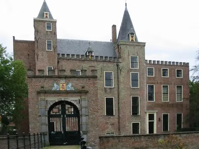 Slot HaamstedeAttraction · 524 m from the route
- 3
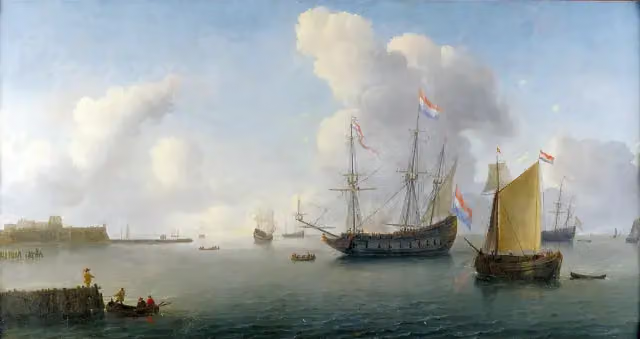 Fort RammekensAttraction · 4.1 km from the route
- 4
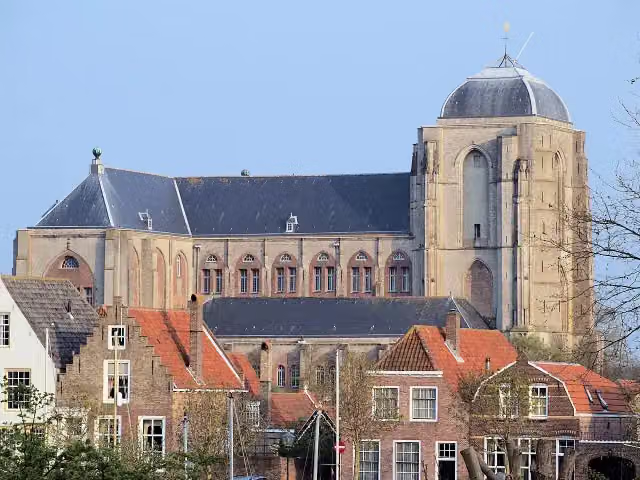 Grote KerkMuseum · 4.8 km from the route
- 5
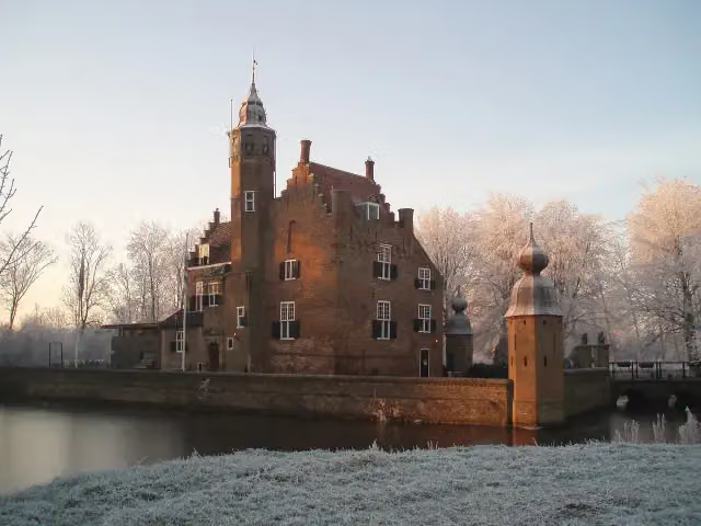 Slot MoermondCastle · 5.5 km from the route
- 6
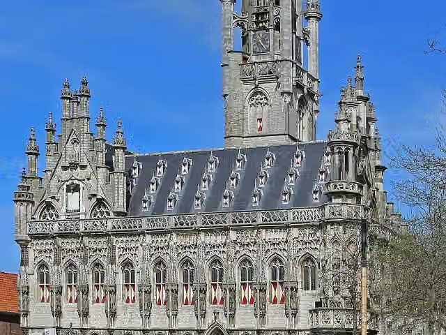 StadhuisAttraction · 6.2 km from the route
- 7
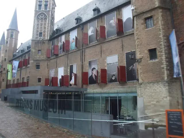 Zeeuws museumMuseum · 6.5 km from the route
- 8
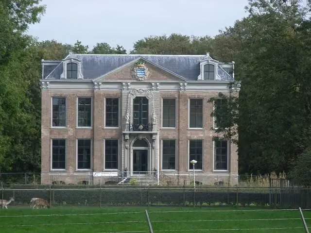 Huis der BoedeAttraction · 2.3 km from the route
- 9
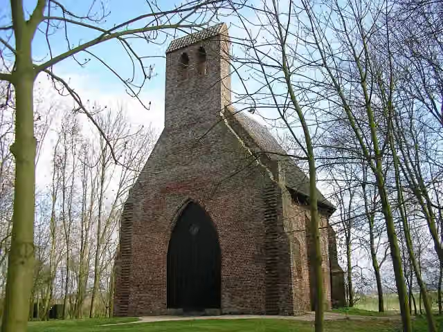 Kapel van Sint MaartenAttraction · 4 km from the route
- 10
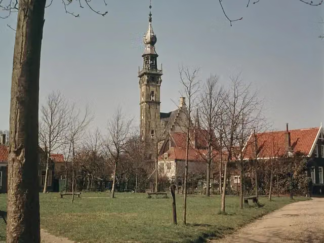 StadhuisAttraction · 4.6 km from the route
- 11
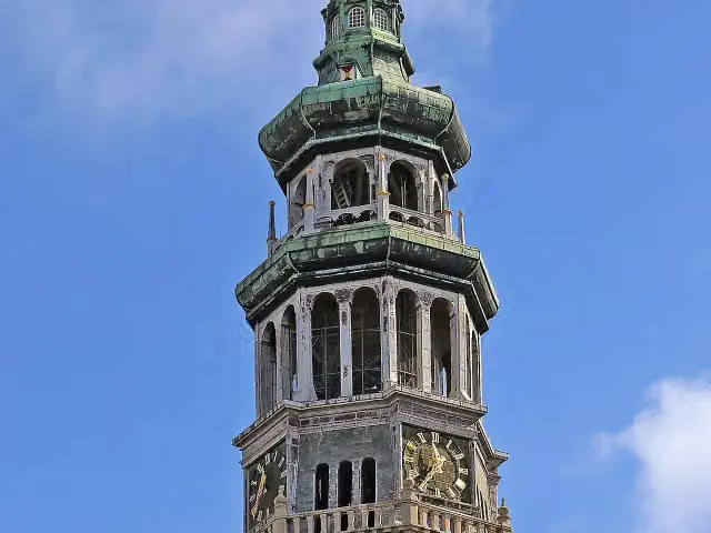 Lange JanAttraction · 6.4 km from the route
- 12
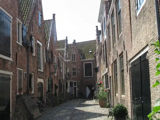 KuiperspoortAttraction · 6.5 km from the route
- 13
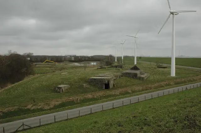 Fort de RuyterRuins · 930 m from the route
- 14
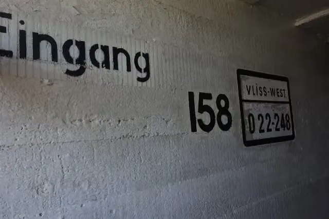 Bunkermuseum Bunker 2Museum · 144 m from the route
- 15
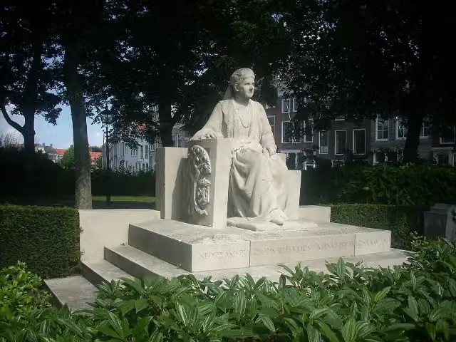 Koningin EmmaMemorial · 6.5 km from the route
- 16
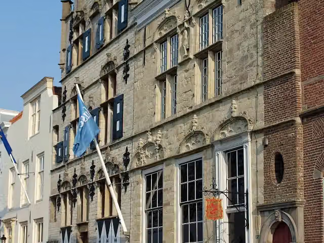 Veere Stadhuismuseum & De Schotse HuizenMuseum · 4.6 km from the route
- 17
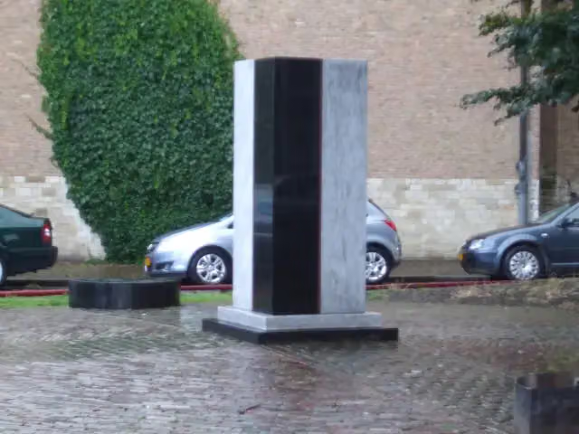 Het Zeeuws SlavernijmonumentMemorial · 6.5 km from the route
- 18
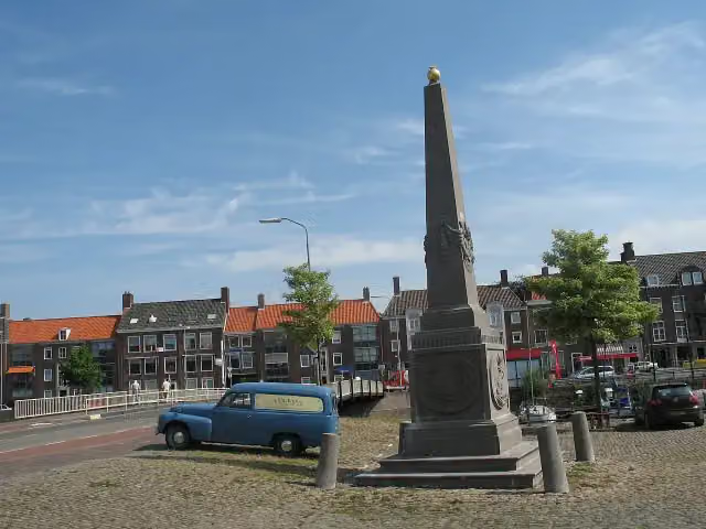 Monument Nieuwe HavenMemorial · 6.6 km from the route
- 19
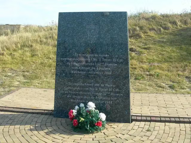 Monument voor Noorse Commando'sMemorial · 286 m from the route
- 20
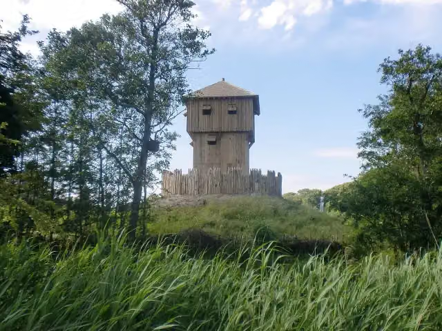 Terra MarisMuseum · 109 m from the route
- 21
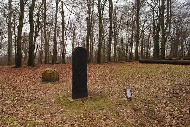 Karolingische ringwalburgArchaeological site · 2.3 km from the route
- 22
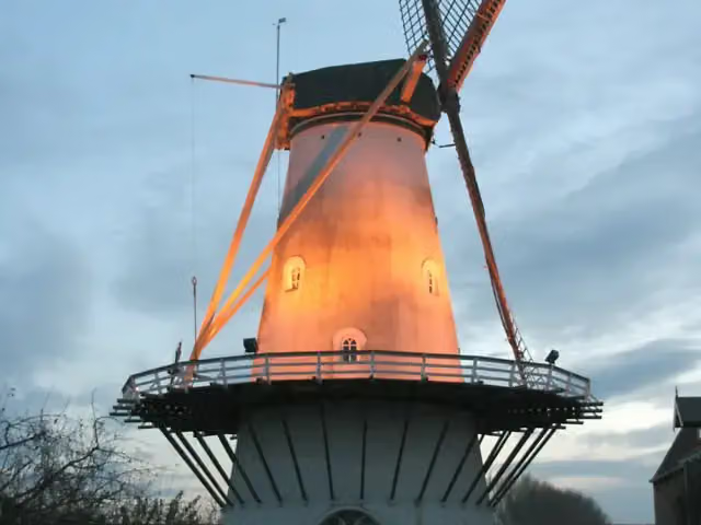 De LelieAttraction · 2.9 km from the route
- 23
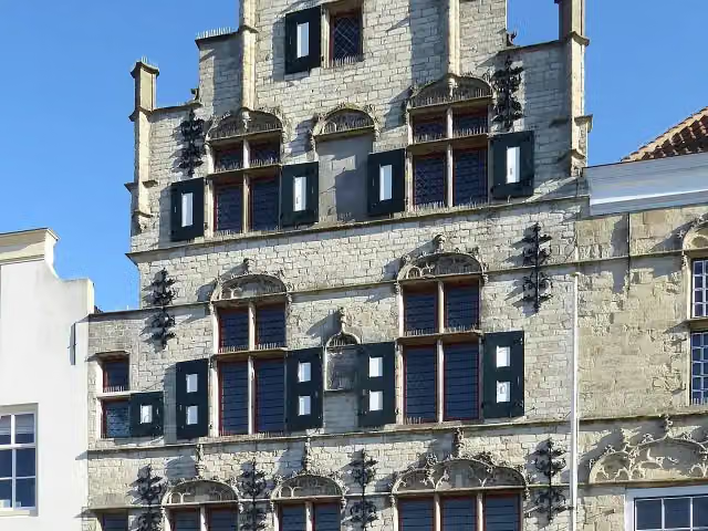 't LammetjeAttraction · 4.6 km from the route
- 24
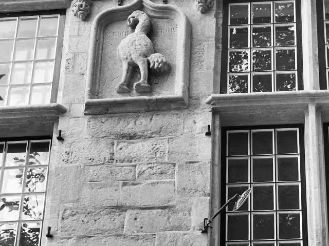 de StruijsAttraction · 4.6 km from the route
- 25
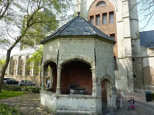 CisterneAttraction · 4.9 km from the route
Explore more
More cycle routes around Schouwen-Duiveland
Frequently asked questions
How long is LF Kustroute - 10 - Burgh Haamstede - Vlissingen?
LF Kustroute - 10 - Burgh Haamstede - Vlissingen is 56.5 km long. Allow ± 3:45 h of riding: 15 km an hour, without breaks.
Is this route a circular ride?
No, the route runs from Burgh Haamstede to Vlissingen.
Where does this route start?
The route starts in Schouwen-Duiveland.
How hard is this route?
Moderate, with 77 m of climbing.
Are there toilets along this route?
Yes, there are 27 public toilets within 100 m of the route. The longest stretch without a toilet is 11.1 km.
Can you fill up with water along this route?
Yes, there are 6 water fountains and refill points within 100 m of the route.
What is there to see along this route?
Along the way you pass Observation tower, Monument voor 4e Commando Brigade and De Schoppesteele.
Starting point
More routes from this place
Route data © OpenStreetMap contributors





