 Outdoor Pitstop
Cycle route · Voorne aan Zee · Updated on 5 November 2026
LF Kustroute - 09 - Oostvoorne - Burgh Haamstede cycle route
LF Kustroute - 09 - Oostvoorne - Burgh Haamstede is a cycle route of 56 km from Voorne aan Zee. Along the way: 110 benches and picnic tables, 2 water fountains and refill points and 10 public toilets.
i
The route step by step
From start to finish, with what you pass along the way and the distance in between.
- 56 km
- ± 3:45 h
- ↑ 52 m · ↓ 57 m
- Moderate
- From A to B
- National route
- Colour of the signs
Start in Voorne aan Zee
0 km2.2 km · 7 benches
Public toilet
2.2 km233 m · 3 benches
Water point
2.4 km3.1 km · 8 benches
Public toilet
5.5 km22.3 km · 27 benches

Observation tower
27.8 kmWater point
3 km · 27 benches
Public toilet
30.8 km6.6 km · 7 benches
Public toilet
37.5 km1.8 km
Public toilet
39.3 km780 m
Public toilet
40.1 km2.6 km
Public toilet
42.7 km2.8 km · bench
Public toilet
45.5 km1.1 km · 11 benches
Public toilet
46.6 km2.6 km · 8 benches
Public toilet
49.2 km6.7 km · 11 benches
Finish
56 km
Longest stretch without a toilet: 25.3 kmBetween 5.5 km and 30.8 km there is no public toilet within 100 m of the route.
The route with the pitstops and sights within 100 m of it.
1 sight along the way
In the order you pass them. With the Outdoor Pitstop app you hear their story on the spot.

Observation tower · after 27.8 km
Elevation and terrain
- Up
- ↑ 52 m
- Down
- ↓ 57 m
- Highest point
- 17 m
- Lowest point
- 0 m
Nowhere steeper than 5%.
Elevation from AHN (Rijkswaterstaat), smoothed.
Way types
56 km in total- Cycle path: 34.3 km
- Road: 17.7 km
- Street: 3.6 km
- Footpath (walk your bike): 150 m
- Path: 75 m
Surfaces
56 km in total- Asphalt: 35.6 km
- Paved: 7.2 km
- Gravel: 2.2 km
- Unknown: 10.7 km
About the cycle route LF Kustroute - 09 - Oostvoorne - Burgh Haamstede
Updated on 5 November 2026, with data from OpenStreetMap and the AHN.
Where do you cycle?
LF Kustroute - 09 - Oostvoorne - Burgh Haamstede is a cycle route of 56 km that starts in Voorne aan Zee. It does not end where it starts. You start in Oostvoorne and finish in Burgh Haamstede. Along the way you pass Observation tower (after 27.8 km).
How hard is the route?
You climb 52 m in total and descend 57 m. Allow ± 3:45 h, without breaks. The level is moderate.
What roads do you cycle on?
The longest part is cycle path (34.3 km), road (17.7 km) and street (3.6 km). Of the surface, 35.6 km asphalt and 7.2 km paved. For 10.7 km the surface is not known.
Pitstops along the way
Within 100 metres of the route there are 110 benches and picnic tables, 2 water fountains and refill points and 10 public toilets. You can fill your bottle after 2.4 km and after 27.8 km. The longest stretch without a toilet is 25.3 km. The Outdoor Pitstop app navigates you there.
This stage of the LF Kustroute is a 56 km cycle route from Oostvoorne to Burgh-Haamstede. You ride through the Voornes Duin dunes to Goeree-Overflakkee, past Stuifakker, Havenhoofd and the small town of Goedereede and through the Goeree dunes, then via Oostdijk to the Kop van Schouwen near Burgh. More than half is cycle path and there are a few climbs in the dunes. We know of ten toilets and two water taps along the route, but no bike pump. The full LF Kustroute runs from Bad Nieuweschans to Cadzand-Bad.
Source: Wikipedia (CC BY-SA)
Part of LF Kustroute
Website of the routeCycle routes nearby
6- Euroroute R1 - Oostvoorne - Hoek van HollandEasy · From A to B22.7 km
- LF Kustroute - 08 - Noordwijk - OostvoorneHard · From A to B67.4 km
- EuroVelo 12 - North Sea Cycle Route - part Nederland westHard · From A to B266.1 km
- Euroroute R1 - Vlissingen - OostvoorneHard · From A to B112.4 km
- LF Maasroute - 09 - Oostvoorne - RotterdamModerate · From A to B59.4 km
- LF Maasroute - 08 - Dordrecht - OostvoorneHard · From A to B67.9 km
Sights nearby
Within 10 km of the route, best known first.
- 1
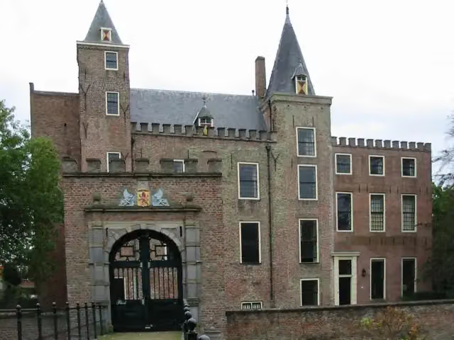 Slot HaamstedeAttraction · 436 m from the route
- 2
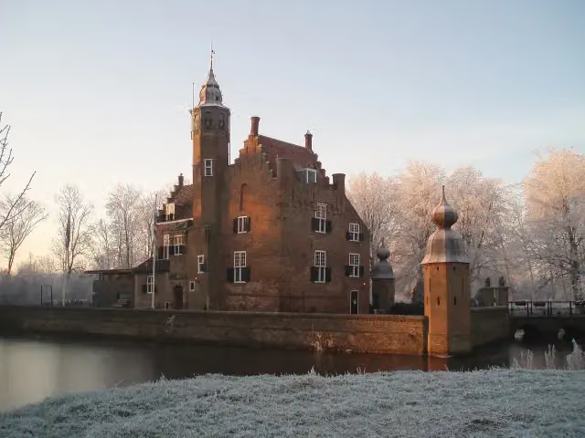 Slot MoermondCastle · 886 m from the route
- 3
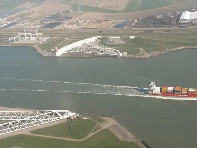 Maeslant BarrierAttraction · 7.8 km from the route
- 4
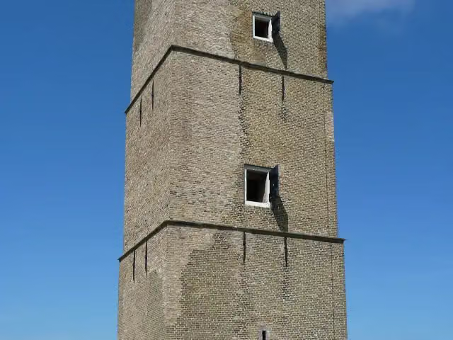 Stenen BaakAttraction · 4.8 km from the route
- 5
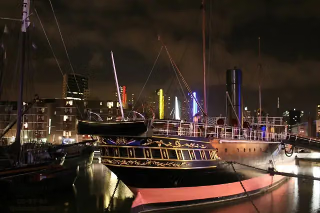 Museumschip "Buffel"Museum · 3.7 km from the route
- 6
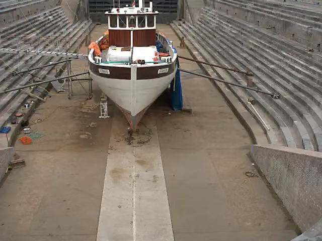 Droogdok Jan BlankenMuseum · 3.6 km from the route
- 7
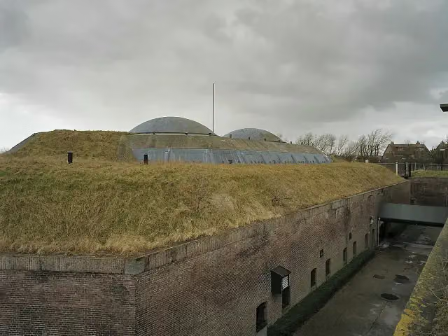 Fort aan den Hoek van HollandFort · 8.1 km from the route
- 8
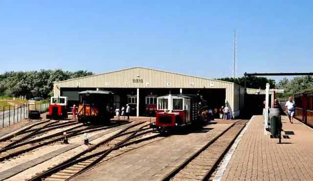 RTM OuddorpMuseum · 156 m from the route
- 9
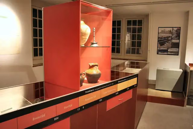 Historisch Museum Den BrielMuseum · 6 km from the route
- 10
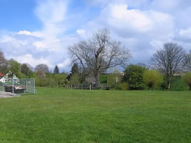 JacobaburchtCastle · 2 km from the route
- 11
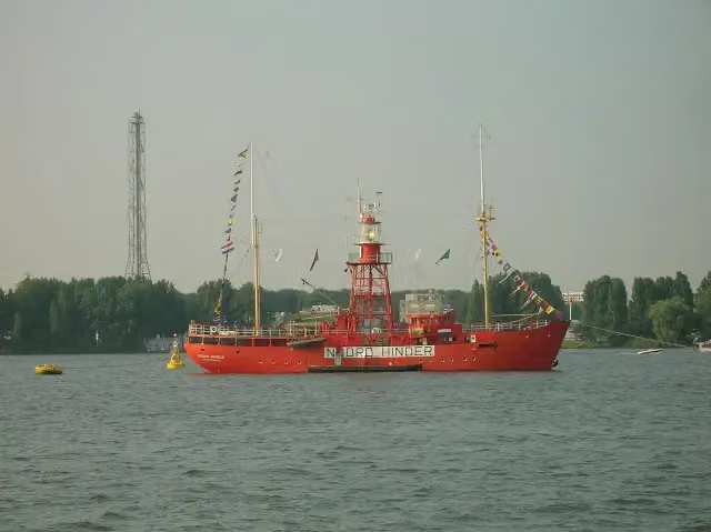 Noord-HinderMuseum · 3.8 km from the route
- 12
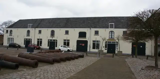 Nationaal Brandweer MuseumMuseum · 4 km from the route
- 13
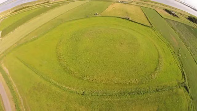 SpreeuwensteinCastle · 1.9 km from the route
- 14
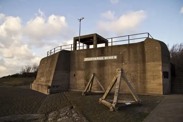 Atlantikwall-MuseumMuseum · 8 km from the route
- 15
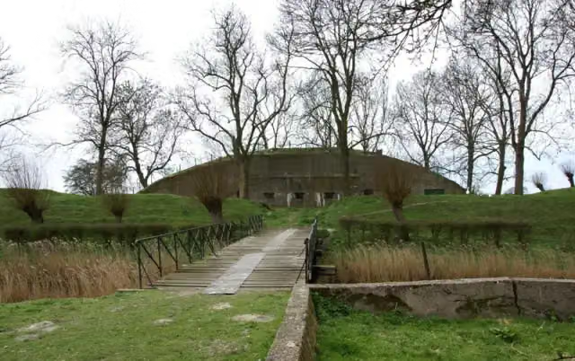 Fort NoorddijkFort · 3.2 km from the route
- 16
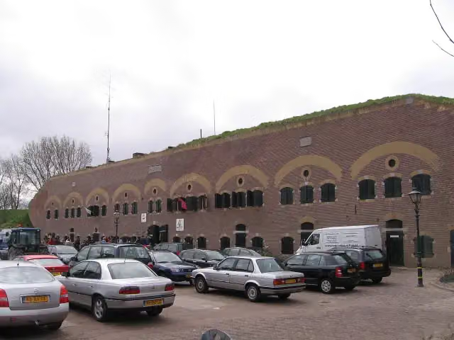 Fort HaerlemFort · 3.9 km from the route
- 17
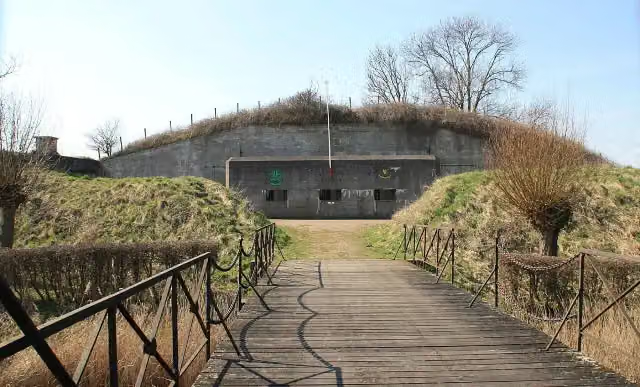 Fort PenserdijkFort · 5.7 km from the route
- 18
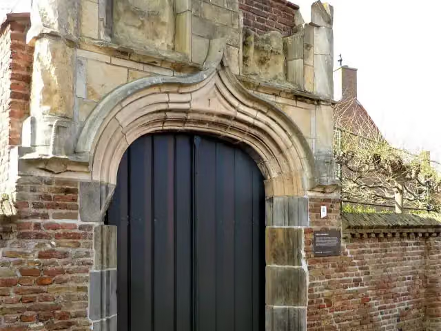 BrigittenpoortjeAttraction · 5.8 km from the route
- 19
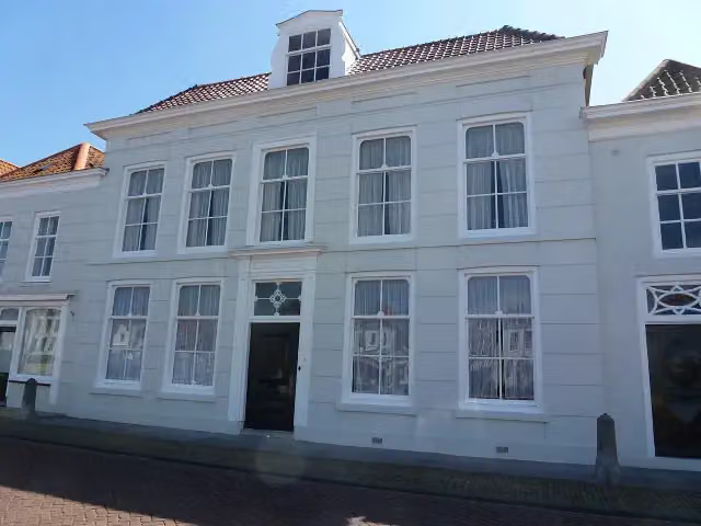 Brouws MuseumMuseum · 5.8 km from the route
- 20
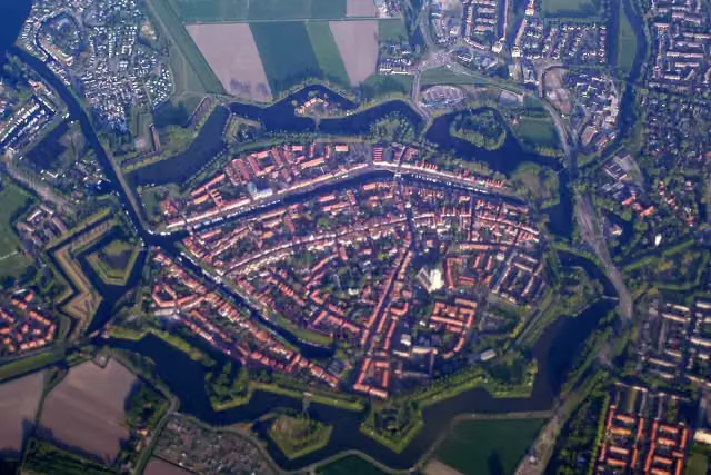 vestingwerken van BrielleCastle · 6 km from the route
- 21
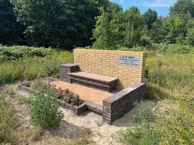 JasbankMemorial · 9.1 km from the route
- 22De ZeearendObservation tower · 151 m from the route
- 23HerinneringsplaquetteMemorial · 469 m from the route
- 24Observation towerObservation tower · 2.2 km from the route
- 25Stadsmuseum HellevoetsluisMuseum · 4 km from the route
Explore more
Frequently asked questions
How long is LF Kustroute - 09 - Oostvoorne - Burgh Haamstede?
LF Kustroute - 09 - Oostvoorne - Burgh Haamstede is 56 km long. Allow ± 3:45 h of riding: 15 km an hour, without breaks.
Is this route a circular ride?
No, the route runs from Oostvoorne to Burgh Haamstede.
Where does this route start?
The route starts in Voorne aan Zee.
How hard is this route?
Moderate, with 52 m of climbing.
Are there toilets along this route?
Yes, there are 10 public toilets within 100 m of the route. The longest stretch without a toilet is 25.3 km.
Can you fill up with water along this route?
Yes, there are 2 water fountains and refill points within 100 m of the route.
What is there to see along this route?
Along the way you pass Observation tower.
Start place
More routes from this place
Route data © OpenStreetMap contributors





