 Outdoor Pitstop
Cycle route · Bergen · Updated on 5 November 2026
EuroVelo 12 - North Sea Cycle Route - part Nederland west
EuroVelo 12 - North Sea Cycle Route - part Nederland west is a cycle route of 266.1 km from Bergen. Along the way: 1,045 benches and picnic tables, 55 water fountains and refill points, 62 public toilets and 3 bike pumps.
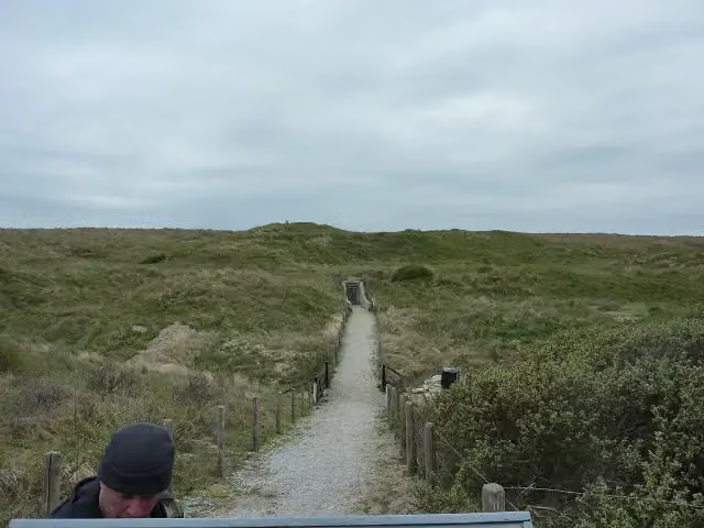
i
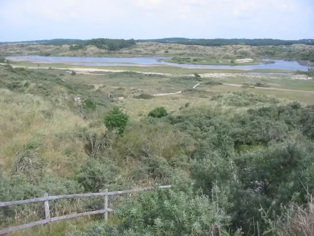
i
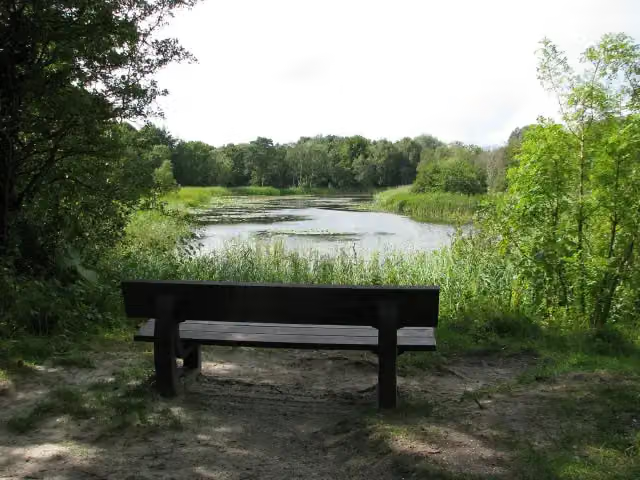
i
The route step by step
From start to finish, with what you pass along the way and the distance in between.
- 266.1 km
- ± 17:45 h
- ↑ 402 m · ↓ 400 m
- Hard
- From A to B
- International route
- Colour of the signs
Start in Bergen
0 km19.1 km · 29 benches

Lunet 24
19.1 kmFort
252 m
Lunet 22
19.3 kmFort
2.3 km · 2 benches
Museum Kennemerland
21.6 kmMuseum
3.4 km · 12 benches
Water point
25 km3.9 km · 11 benches
Public toilet and water point
28.9 km3 km · 15 benches
Water point
31.9 km3.4 km · 5 benches
2 water fountains and refill points
35.3 km2.8 km · 31 benches
Water point
38 km6.1 km · 13 benches
Public toilet
44.1 km808 m · 3 benches
Public toilet
44.9 km602 m · 2 benches
Water point
45.5 km308 m · 2 benches
Water point
45.8 km7.5 km · 3 benches
Public toilet and water point
53.3 km7.5 km · 20 benches
AtlantikWall Museum
60.8 kmMuseum
198 m
Water point
61 km476 m · 4 benches
2 water fountains and refill points
61.5 km243 m
Wilhelmina
61.7 kmWater point
310 m · 4 benches
2 water fountains and refill points
62.1 km1.7 km · 20 benches
Rudolf Tappenbeck Monument
63.7 kmWater point
2.7 km · 5 benches
Water point
66.5 km547 m · 6 benches
Water point
67 km158 m · 4 benches
2 water fountains and refill points
67.2 km216 m · 4 benches
Public toilet and 2 water fountains and refill points
67.4 km201 m · 8 benches
Public toilet and 3 water fountains and refill points
67.6 km215 m · 7 benches
Public toilet and 2 water fountains and refill points
67.8 km284 m · 12 benches
2 water fountains and refill points
68.1 km193 m · 4 benches
Freedom Forward
68.3 kmMemorial
178 m · 2 benches
Water point
68.4 km192 m · 2 benches
Water point
68.6 km
Show the other 61 steps
185 m · 6 benches
2 water fountains and refill points
68.8 km193 m · 2 benches
3 water fountains and refill points
69 km4.7 km · 13 benches
Water point
73.8 km6.8 km · 22 benches
Public toilet, water point and bike pump
80.5 km1.7 km · 7 benches
4 public toilets and water point
82.2 km671 m · bench
Public toilet
82.9 km151 m · 3 benches
Museum · Audio story · 2 min
626 m · 43 benches
2 public toilets
83.7 km412 m · 30 benches
2 water fountains and refill points
84.1 km169 m · 7 benches
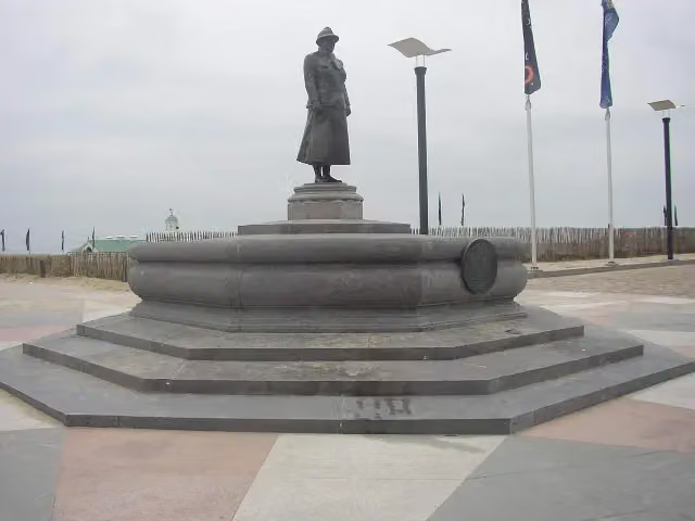
Nationaal Monument voor de Koninklijke Marine
84.2 kmMemorial
3 km · 21 benches
Water point
87.2 km581 m · 6 benches
Water point
87.8 km1.7 km · 15 benches
Water point
89.5 km1.3 km · 7 benches
Public toilet
90.9 km5.2 km · 11 benches
Public toilet and water point
96.1 km7.3 km · 18 benches
Water point
103.4 km2 km · 11 benches
Public toilet and water point
105.4 km25.6 km · 21 benches
Public toilet
131 km233 m · 3 benches
Water point
131.3 km3.1 km · 8 benches
Public toilet
134.4 km22.3 km · 27 benches
Observation tower
156.6 kmWater point
3 km · 27 benches
Public toilet
159.7 km6.6 km · 7 benches
Public toilet
166.3 km1.8 km
Public toilet
168.1 km780 m
Public toilet
168.9 km2.6 km
Public toilet
171.6 km2.8 km · bench
Public toilet
174.4 km1.1 km · 11 benches
Public toilet
175.5 km2.6 km · 8 benches
Public toilet
178.1 km8.7 km · 20 benches
Public toilet and water point
186.8 km4.7 km · 9 benches
Public toilet
191.5 km11.1 km · 11 benches
Public toilet
202.5 km788 m · 3 benches
Public toilet
203.3 km1.2 km · 2 benches
2 public toilets
204.5 km526 m · bench
Public toilet
205 km518 m · 4 benches
Public toilet
205.5 km415 m · 8 benches
Public toilet
206 km325 m · 4 benches
Observation tower
206.3 kmPublic toilet
3.2 km · 5 benches
Public toilet
209.5 km6.6 km · 10 benches
2 public toilets
216.1 km1.3 km · 19 benches
Public toilet
217.4 km5.5 km · 24 benches
2 public toilets
703 m · 18 benches
De Schoppesteele
223.7 kmMemorial
2.6 km · 21 benches
Public toilet
226.2 km1.2 km · 3 benches
Public toilet
227.4 km268 m · 9 benches
Water point
227.7 km290 m · 2 benches
Public toilet
228 km467 m · 4 benches
Public toilet
228.4 km3.5 km · 14 benches
Public toilet
231.9 km666 m · 2 benches
Bike pump
232.6 km694 m · 6 benches
3 public toilets and water point
233.3 km1.7 km · 28 benches
Public toilet
235 km1.5 km · 2 benches
Public toilet
236.5 km573 m · 5 benches
2 water fountains and refill points
237 km1.5 km · 48 benches
Keizersbolwerk
238.6 kmCastle
299 m · 18 benches
MuZEEum
238.9 kmMuseum
2.4 km · 49 benches
Public toilet, water point and bike pump
241.3 km6.6 km · 15 benches
Public toilet
247.9 km12.2 km · 59 benches
Public toilet
260.1 km4 km · 29 benches
5 public toilets
264.1 km2.1 km · 27 benches
Finish
266.1 km
Longest stretch without a toilet: 28.9 kmBetween 0 km and 28.9 km there is no public toilet within 100 m of the route.
The route with the pitstops and sights within 100 m of it.
15 sights along the way
In the order you pass them. With the Outdoor Pitstop app you hear their story on the spot. 7 more along the route are on the map.

Fort · after 19.1 km
Fort · after 19.3 km
Museum Kennemerland
Museum · after 21.6 km
AtlantikWall Museum
Museum · after 60.8 km
Wilhelmina
Memorial · after 61.7 km
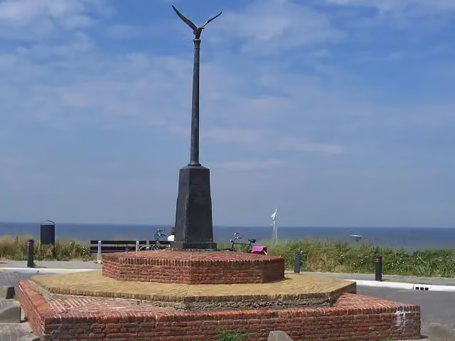 Story
Rudolf Tappenbeck Monument
Memorial · after 63.7 km
i
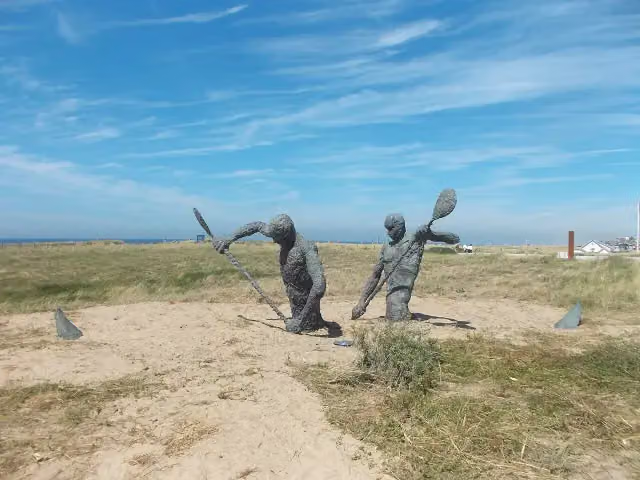
Photo: Richardkiwi · Wikimedia Commons · CC BY-SA 4.0View the photo on Wikimedia CommonsMemorial · after 68.3 km
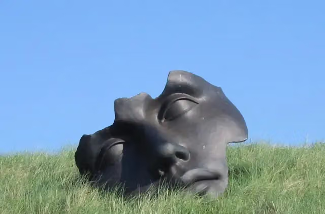 Audio story · 2 min
i
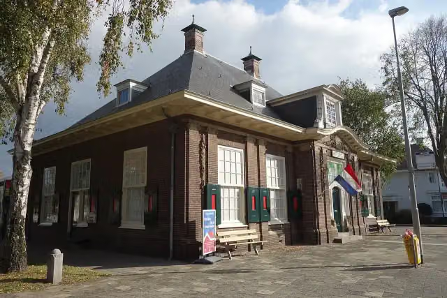
Photo: Ellywa at Dutch Wikipedia · Wikimedia Commons · CC BY-SA 3.0View the photo on Wikimedia CommonsMuseum Beelden aan Zee
Museum · after 83 km
Elevation and terrain
- Up
- ↑ 402 m
- Down
- ↓ 400 m
- Highest point
- 21 m
- Lowest point
- -0 m
Nowhere steeper than 5%.
Elevation from AHN (Rijkswaterstaat), smoothed.
Way types
266.1 km in total- Cycle path: 165 km
- Road: 46.6 km
- Street: 24.5 km
- Path: 3.7 km
- Busy road: 2.4 km
- Footpath (walk your bike): 1.4 km
- Track: 125 m
- Unknown: 21.6 km
Surfaces
266.1 km in total- Asphalt: 138.5 km
- Paved: 67.8 km
- Gravel: 10.1 km
- Natural: 450 m
- Unknown: 48.5 km
About the cycle route EuroVelo 12 - North Sea Cycle Route - part Nederland west
Updated on 5 November 2026, with data from OpenStreetMap and the AHN.
Where do you cycle?
EuroVelo 12 - North Sea Cycle Route - part Nederland west is a cycle route of 266.1 km that starts in Bergen. It does not end where it starts. Along the way you pass Lunet 24 (after 19.1 km), Lunet 22 (after 19.3 km) and Museum Kennemerland (after 21.6 km).
How hard is the route?
You climb 402 m in total and descend 400 m. Allow ± 17:45 h, without breaks. The level is hard.
What roads do you cycle on?
The longest part is cycle path (165 km), road (46.6 km) and street (24.5 km). Of the surface, 138.5 km asphalt and 67.8 km paved. For 48.5 km the surface is not known.
Pitstops along the way
Within 100 metres of the route there are 1,045 benches and picnic tables, 55 water fountains and refill points, 62 public toilets and 3 bike pumps. The longest stretch without a toilet is 28.9 km. The Outdoor Pitstop app navigates you there.
This is the western stretch of the Dutch section of EuroVelo 12, the North Sea Cycle Route. It is just over 266 km long and runs from Egmond aan den Hoef along the coast via Wijk aan Zee, Zandvoort, Noordwijk and Katwijk to The Hague and Hoek van Holland, then across Goeree, Schouwen and Walcheren to Cadzand-Bad. Much of it runs through the dunes, such as Zuid-Kennemerland, Berkheide and Meijendel, and you pass Museum Beelden aan Zee and the AtlantikWall Museum. Over three fifths is cycle path; in the dunes you climb about 400 metres in total. We know of 62 toilets and 55 water taps along the route.
Source: Wikipedia (CC BY-SA)
Part of EuroVelo 12 - North Sea Cycle Route - part Nederland
Website of the routeCycle routes nearby
3Sights nearby
Within 10 km of the route, best known first.
- 1
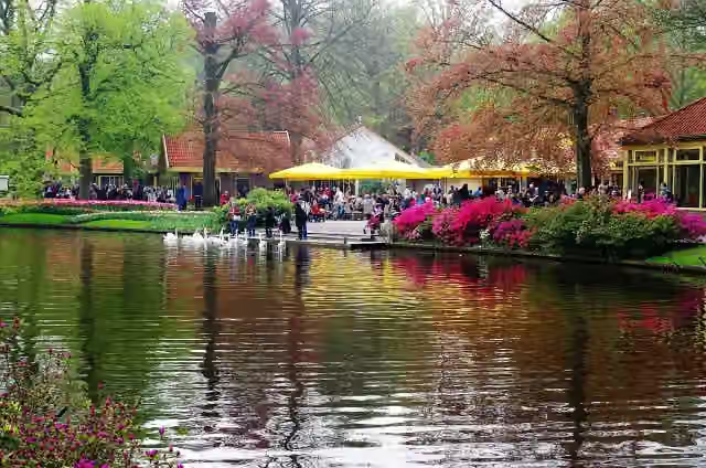 KeukenhofAttraction · 4.7 km from the route
- 2
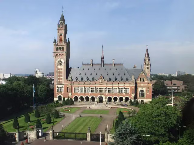 Peace PalaceAttraction · 2.1 km from the route
- 3
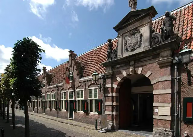 Frans Hals MuseumMuseum · 2.5 km from the route
- 4
 Teylers MuseumMuseum · 2.7 km from the route
- 5
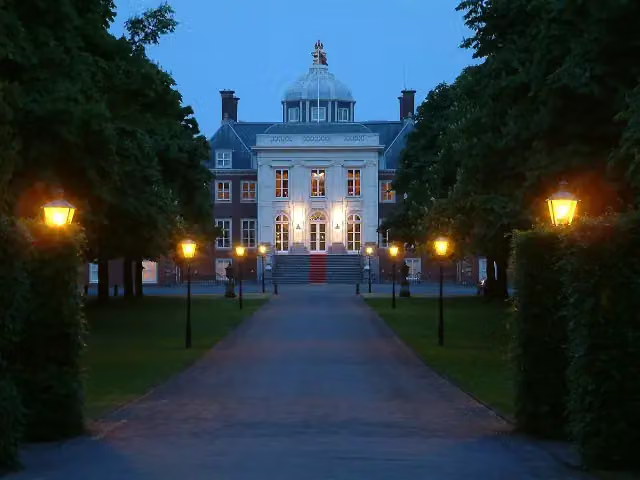 Huis ten BoschCastle · 3.8 km from the route
- 6
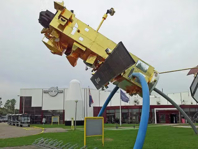 Space ExpoMuseum · 920 m from the route
- 7
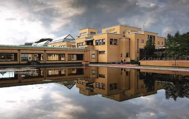 Kunstmuseum Den HaagMuseum · 1.1 km from the route
- 8
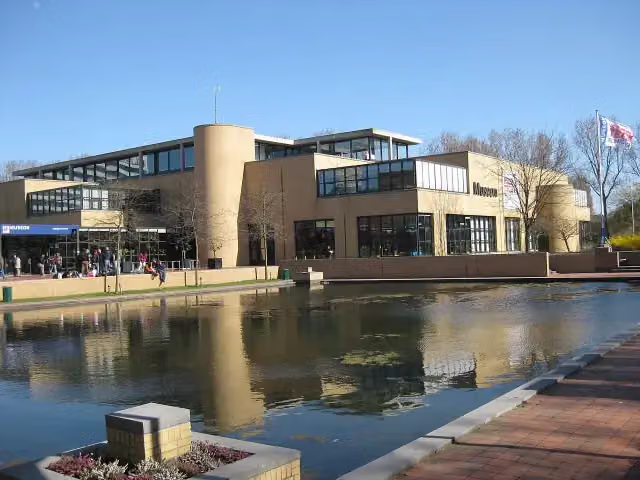 Museon-OmniversumMuseum · 1.1 km from the route
- 9
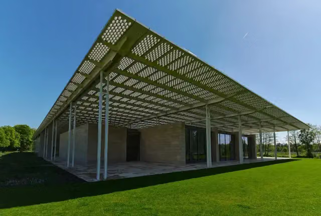 Museum VoorlindenMuseum · 2 km from the route
- 10
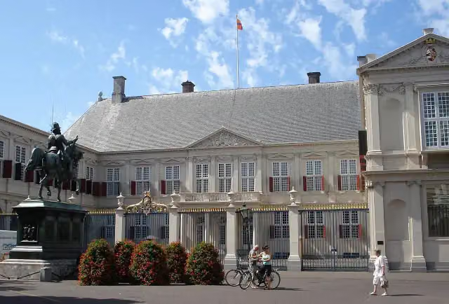 Paleis NoordeindeCastle · 3.1 km from the route
- 11
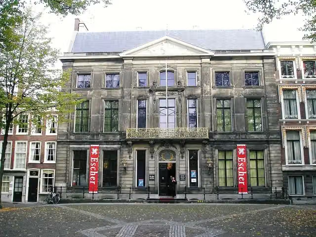 Escher in Het PaleisMuseum · 3.4 km from the route
- 12
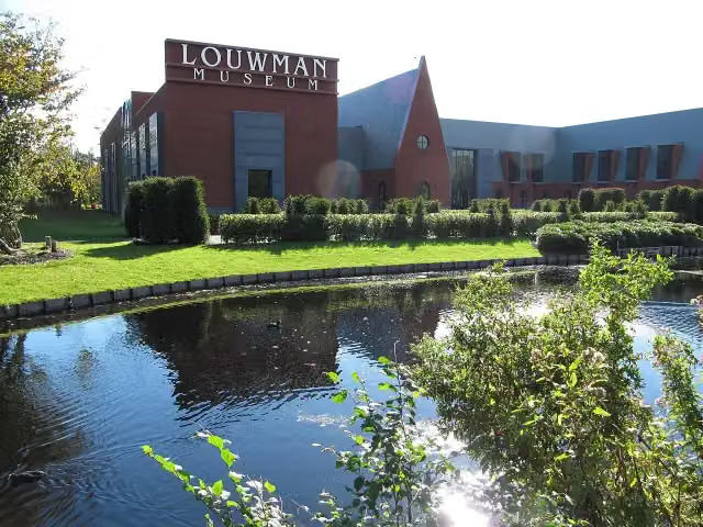 Louwman MuseumMuseum · 3.6 km from the route
- 13
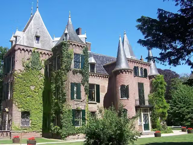 Kasteel KeukenhofCastle · 4.3 km from the route
- 14
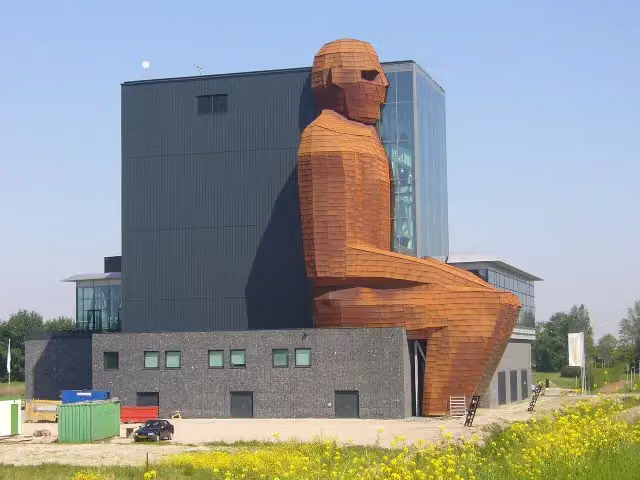 CorpusMuseum · 5.2 km from the route
- 15
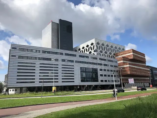 Naturalis Biodiversity CentreMuseum · 6.7 km from the route
- 16
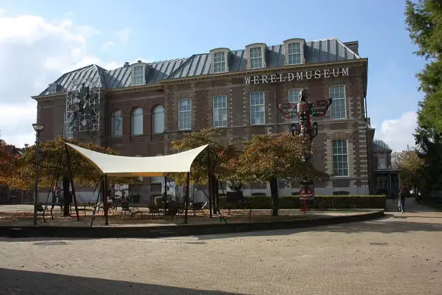 Wereldmuseum LeidenMuseum · 7.4 km from the route
- 17
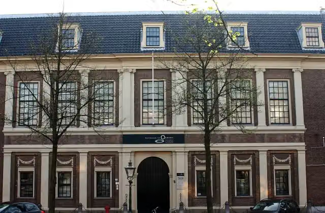 Rijksmuseum van OudhedenMuseum · 7.8 km from the route
- 18
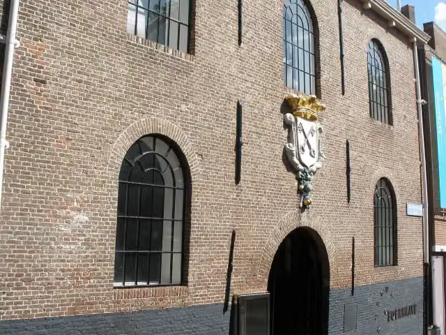 Rijksmuseum BoerhaaveMuseum · 7.8 km from the route
- 19
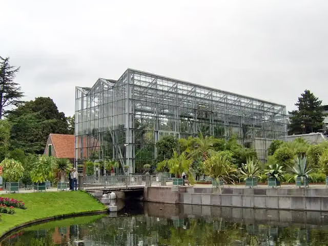 Hortus botanicus LeidenAttraction · 7.8 km from the route
- 20
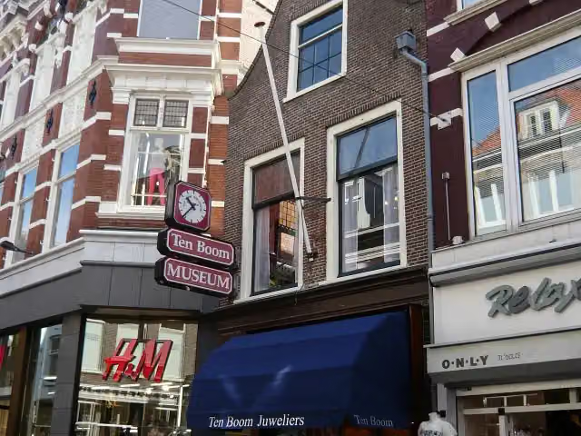 Corrie ten Boom MuseumMuseum · 2.4 km from the route
- 21
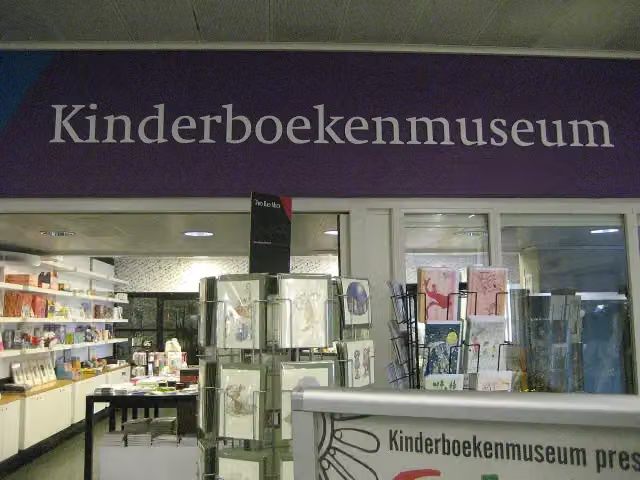 KinderboekenmuseumMuseum · 4.2 km from the route
- 22
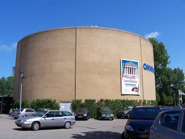 OmniversumAttraction · 1.2 km from the route
- 23
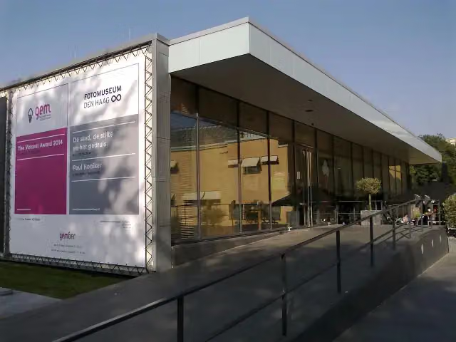 Fotomuseum Den HaagMuseum · 991 m from the route
- 24
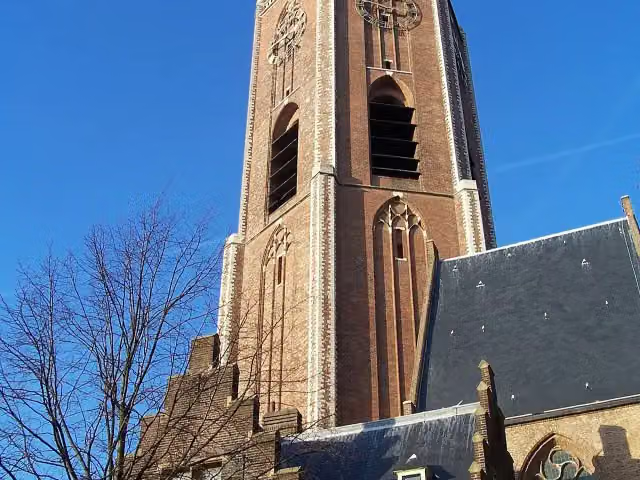 Grote of Sint-Jacobskerk (The Hague)Attraction · 3.3 km from the route
- 25
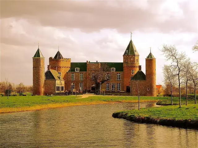 Westhove CastleCastle · 226 m from the route
Explore more
Frequently asked questions
How long is EuroVelo 12 - North Sea Cycle Route - part Nederland west?
EuroVelo 12 - North Sea Cycle Route - part Nederland west is 266.1 km long. Allow ± 17:45 h of riding: 15 km an hour, without breaks.
Is this route a circular ride?
No, the route starts and ends at different spots.
Where does this route start?
The route starts in Bergen.
How hard is this route?
Hard, with 402 m of climbing.
Are there toilets along this route?
Yes, there are 62 public toilets within 100 m of the route. The longest stretch without a toilet is 28.9 km.
Can you fill up with water along this route?
Yes, there are 55 water fountains and refill points within 100 m of the route.
What is there to see along this route?
Along the way you pass Lunet 24, Lunet 22 and Museum Kennemerland.
Start place
More routes from this place
Route data © OpenStreetMap contributors





