 Outdoor Pitstop
Cycle route · Oldambt · Updated on 5 November 2026
EuroVelo 12 - North Sea Cycle Route - part Nederland
EuroVelo 12 - North Sea Cycle Route - part Nederland is a cycle route of 624 km from Oldambt. Along the way: 1,535 benches and picnic tables, 69 water fountains and refill points, 84 public toilets, 6 bike pumps and 1 food stand.
i
i
i
The route step by step
From start to finish, with what you pass along the way and the distance in between.
- 624 km
- ± 20:50 h per stage
- ↑ 618 m · ↓ 612 m
- Hard per stage
- From A to B
- International route
- Colour of the signs
Start in Oldambt
0 km27.5 km · 33 benches

Boog van Ziel
27.5 kmMemorial
333 m · 3 benches
Public toilet
27.9 km2.4 km · 2 benches
Monument Oterdum
30.3 kmMemorial
8.1 km · 31 benches
Water point
38.4 km310 m · 6 benches
Public toilet and bike pump
38.7 km10.2 km · 12 benches
Voormalige locatie Borg Luinga
48.9 kmArchaeological site
17 km · 23 benches
Water point
65.8 km1.1 km · 7 benches
Arp Schnitger
67 kmMemorial
34.3 km · 41 benches
Water point
101.2 km11.4 km · 15 benches
Visserijmuseum Zoutkamp
112.6 kmPublic toilet
7.5 km · 9 benches
Observation tower
120.1 kmObservation tower
1.8 km · 4 benches
Public toilet
121.9 km1.3 km · 3 benches
Public toilet
123.1 km446 m
Public toilet
123.6 km389 m · 2 benches
Public toilet
124 km723 m · 3 benches
Water point
124.7 km165 m · 2 benches
Water point
124.9 km12.4 km · 11 benches
't Fiskershúske and 1 more
137.2 kmVissersmonument
22.3 km · 16 benches
Public toilet, water point and bike pump
159.6 km36.9 km · 15 benches
De Slikwerker
196.5 kmMemorial
32.4 km · 24 benches
Public toilet
228.9 km375 m · 6 benches
Gemeentemuseum Het Hannemahuis
229.3 kmPublic toilet and water point
419 m · 10 benches
Public toilet and water point
229.7 km939 m · 9 benches
Stienen Man
230.6 kmMemorial
4.7 km · 6 benches
Public toilet
235.3 km8 km · 2 benches
Kazemattenmuseum Kornwerderzand
243.4 kmMuseum
19.3 km · bench
Vlietermonument
262.7 kmObservation tower
6 km · bench
Observation tower
268.8 kmObservation tower
4.8 km · 7 benches
Wieringer Eilandmuseum Jan Lont
273.6 kmMuseum
Show the other 101 steps
5.2 km · bench
Food stand
278.8 km22.9 km · 6 benches
Fort Westoever
301.7 kmFort
13.5 km · 91 benches
6 public toilets and 3 water fountains and refill points
315.2 km7.8 km · 12 benches
Public toilet and water point
323.1 km9.9 km · 19 benches
Panoramaduin
332.9 kmViewpoint
1.3 km · 6 benches
Public toilet
334.2 km4.2 km · 4 benches
De Strandvonder
338.4 kmMemorial
203 m · 6 benches
Water point
338.6 km4.7 km · 13 benches
Bike pump
343.4 km7.2 km · 12 benches
Public toilet
350.6 km255 m
Public toilet and water point
350.8 km26.1 km · 45 benches
Lunet 24
377 kmFort
252 m
Lunet 22
377.2 kmFort
2.3 km · 2 benches
Museum Kennemerland
379.5 kmMuseum
3.4 km · 12 benches
Water point
382.9 km3.9 km · 11 benches
Public toilet and water point
386.7 km3 km · 15 benches
Water point
389.8 km3.4 km · 5 benches
2 water fountains and refill points
393.1 km2.8 km · 31 benches
Water point
395.9 km6.1 km · 13 benches
Public toilet
402 km808 m · 3 benches
Public toilet
402.8 km602 m · 2 benches
Water point
403.4 km308 m · 2 benches
Water point
403.7 km7.5 km · 3 benches
Public toilet and water point
411.2 km7.5 km · 20 benches
AtlantikWall Museum
418.7 kmMuseum
198 m
Water point
418.9 km476 m · 4 benches
2 water fountains and refill points
419.4 km243 m
Wilhelmina
419.6 kmWater point
310 m · 4 benches
2 water fountains and refill points
419.9 km1.7 km · 20 benches
Rudolf Tappenbeck Monument
421.6 kmWater point
2.7 km · 5 benches
Water point
424.3 km547 m · 6 benches
Water point
424.9 km158 m · 4 benches
2 water fountains and refill points
425 km216 m · 4 benches
Public toilet and 2 water fountains and refill points
425.2 km201 m · 8 benches
Public toilet and 3 water fountains and refill points
425.4 km215 m · 7 benches
Public toilet and 2 water fountains and refill points
425.7 km284 m · 12 benches
2 water fountains and refill points
425.9 km193 m · 4 benches
Freedom Forward
426.1 kmMemorial
178 m · 2 benches
Water point
426.3 km192 m · 2 benches
Water point
426.5 km185 m · 6 benches
2 water fountains and refill points
426.7 km193 m · 2 benches
3 water fountains and refill points
426.9 km4.7 km · 13 benches
Water point
431.6 km6.8 km · 22 benches
Public toilet, water point and bike pump
438.4 km1.7 km · 7 benches
4 public toilets and water point
440.1 km671 m · bench
Public toilet
440.7 km151 m · 3 benches
Museum Beelden aan Zee
440.9 kmMuseum · Audio story · 2 min
626 m · 43 benches
2 public toilets
441.5 km412 m · 30 benches
2 water fountains and refill points
441.9 km169 m · 7 benches
Nationaal Monument voor de Koninklijke Marine
442.1 kmMemorial
3 km · 21 benches
Water point
445.1 km581 m · 6 benches
Water point
445.7 km1.7 km · 15 benches
Water point
447.4 km1.3 km · 7 benches
Public toilet
448.7 km5.2 km · 11 benches
Public toilet and water point
454 km7.3 km · 18 benches
Water point
461.2 km2 km · 11 benches
Public toilet and water point
463.3 km25.6 km · 21 benches
Public toilet
488.9 km233 m · 3 benches
Water point
489.1 km3.1 km · 8 benches
Public toilet
492.2 km22.3 km · 27 benches
Observation tower
514.5 kmWater point
3 km · 27 benches
Public toilet
517.5 km6.6 km · 7 benches
Public toilet
524.2 km1.8 km
Public toilet
526 km780 m
Public toilet
526.8 km2.6 km
Public toilet
529.4 km2.8 km · bench
Public toilet
532.2 km1.1 km · 11 benches
Public toilet
533.4 km2.6 km · 8 benches
Public toilet
536 km8.7 km · 20 benches
Public toilet and water point
544.7 km4.7 km · 9 benches
Public toilet
549.4 km11.1 km · 11 benches
Public toilet
560.4 km788 m · 3 benches
Public toilet
561.2 km1.2 km · 2 benches
2 public toilets
562.4 km526 m · bench
Public toilet
562.9 km518 m · 4 benches
Public toilet
563.4 km415 m · 8 benches
Public toilet
563.8 km325 m · 4 benches
Observation tower
564.2 kmPublic toilet
3.2 km · 5 benches
Public toilet
567.4 km6.6 km · 10 benches
2 public toilets
574 km1.3 km · 19 benches
Public toilet
575.3 km5.5 km · 24 benches
2 public toilets
703 m · 18 benches
De Schoppesteele
581.5 kmMemorial
2.6 km · 21 benches
Public toilet
584.1 km1.2 km · 3 benches
Public toilet
585.3 km268 m · 9 benches
Water point
585.6 km290 m · 2 benches
Public toilet
585.8 km467 m · 4 benches
Public toilet
586.3 km3.5 km · 14 benches
Public toilet
589.8 km666 m · 2 benches
Bike pump
590.5 km694 m · 6 benches
3 public toilets and water point
591.2 km1.7 km · 28 benches
Public toilet
592.8 km1.5 km · 2 benches
Public toilet
594.3 km573 m · 5 benches
2 water fountains and refill points
594.9 km1.5 km · 48 benches
Keizersbolwerk
596.4 kmCastle
299 m · 18 benches
MuZEEum
596.7 kmMuseum
2.4 km · 49 benches
Public toilet, water point and bike pump
599.1 km6.6 km · 15 benches
Public toilet
605.8 km12.2 km · 59 benches
Public toilet
618 km4 km · 29 benches
5 public toilets
621.9 km2.1 km · 27 benches
Finish
624 km
Longest stretch without a toilet: 79.9 kmBetween 235.3 km and 315.2 km there is no public toilet within 100 m of the route.
The route with the water points, toilets and sights within 100 m of it.
33 sights along the way
In the order you pass them. With the Outdoor Pitstop app you hear their story on the spot. 25 more along the route are on the map.

Memorial · after 27.5 km
Memorial · after 30.3 km
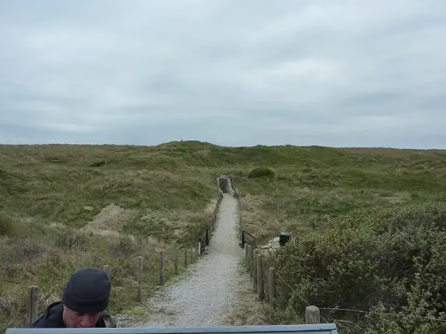
Archaeological site · after 48.9 km
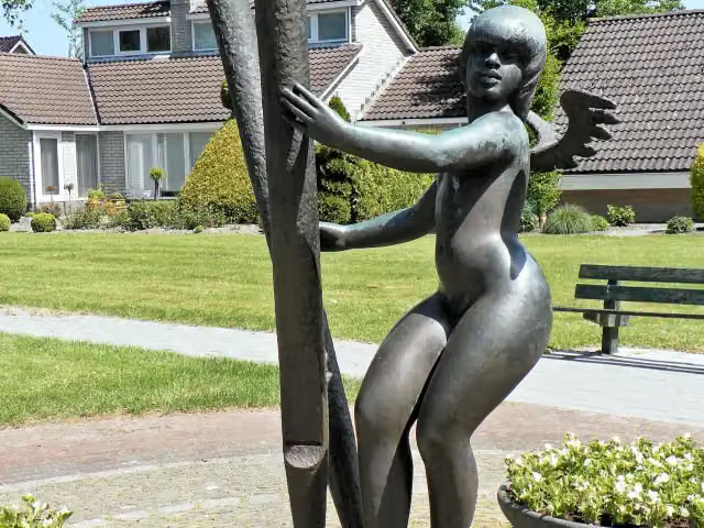
Arp Schnitger
Memorial · after 67 km
i
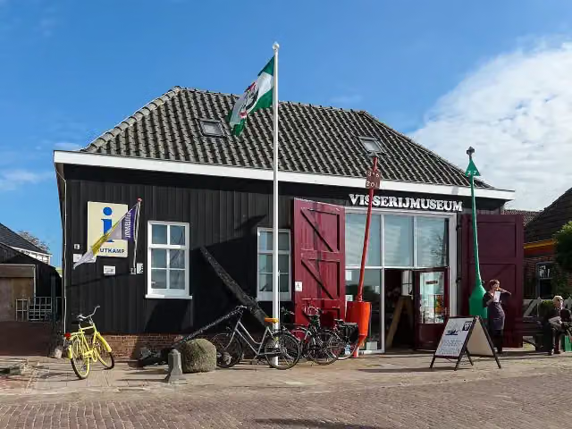
Photo: Wutsje / Wikimedia Commons / CC-BY-SA 4.0 · Wikimedia Commons · CC BY-SA 4.0View the photo on Wikimedia CommonsMuseum · after 112.6 km
Observation tower · after 120.1 km
Museum · after 137.2 km
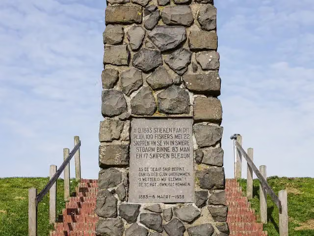 Audio story · 1 min
i
Photo: Agnes Monkelbaan · Wikimedia Commons · CC BY-SA 4.0View the photo on Wikimedia CommonsVissersmonument
Memorial · after 137.3 km
Stages (2)
Elevation and terrain
- Up
- ↑ 618 m
- Down
- ↓ 612 m
- Highest point
- 21 m
- Lowest point
- -1 m
Nowhere steeper than 5%.
Elevation from AHN (Rijkswaterstaat), smoothed.
Way types
624 km in total- Cycle path: 293.3 km
- Road: 215.6 km
- Street: 71.3 km
- Busy road: 7.9 km
- Path: 4.7 km
- Track: 4 km
- Footpath (walk your bike): 1.9 km
- Unknown: 23.7 km
Surfaces
624 km in total- Asphalt: 376.7 km
- Paved: 124.8 km
- Gravel: 15.8 km
- Natural: 450 m
- Unknown: 104.7 km
About the cycle route EuroVelo 12 - North Sea Cycle Route - part Nederland
Updated on 5 November 2026, with data from OpenStreetMap and the AHN.
Where do you cycle?
EuroVelo 12 - North Sea Cycle Route - part Nederland is a cycle route of 624 km that starts in Oldambt. It does not end where it starts. Along the way you pass Boog van Ziel (after 27.5 km), Monument Oterdum (after 30.3 km) and Voormalige locatie Borg Luinga (after 48.9 km).
How hard is the route?
You climb 618 m in total and descend 612 m. Allow ± 20:50 h per stage, without breaks. The level is hard per stage.
What roads do you cycle on?
The longest part is cycle path (293.3 km), road (215.6 km) and street (71.3 km). Of the surface, 376.7 km asphalt and 124.8 km paved. For 104.7 km the surface is not known.
Pitstops along the way
Within 100 metres of the route there are 1,535 benches and picnic tables, 69 water fountains and refill points, 84 public toilets, 6 bike pumps and 1 food stand. The longest stretch without a toilet is 79.9 km. The Outdoor Pitstop app navigates you there.
The Dutch section of EuroVelo 12, the North Sea Cycle Route, is about 624 km long and follows the entire Dutch coast, from Bad Nieuweschans near the German border to Cadzand-Bad near Belgium. The full North Sea Cycle Route runs through eight countries around the North Sea and opened in 2001. In the Netherlands you ride along the Wadden coast, over the Afsluitdijk, through the dunes of North and South Holland and across the Zeeland islands. Sights along the way include Lauwersmeer National Park, the Kornwerderzand bunker museum and Zuid-Kennemerland National Park. Almost half is cycle path. Along the route we know of 84 toilets, 69 water taps and six bike pumps.
Source: Wikipedia (CC BY-SA)
Part of EuroVelo 12 - North Sea Cycle Route
Website of the routeCycle routes nearby
4Sights nearby
Within 10 km of the route, best known first.
- 1
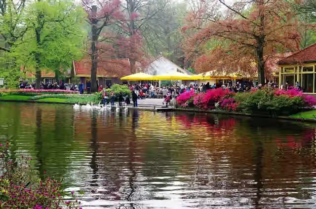 KeukenhofAttraction · 4.7 km from the route
- 2
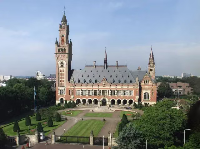 Peace PalaceAttraction · 2.1 km from the route
- 3
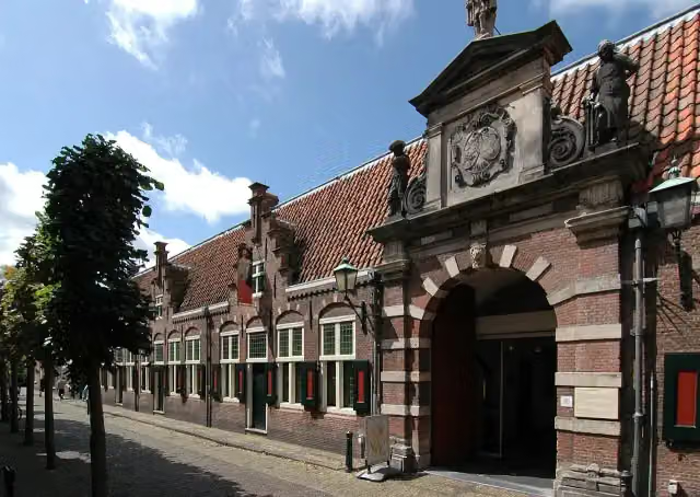 Frans Hals MuseumMuseum · 2.5 km from the route
- 4
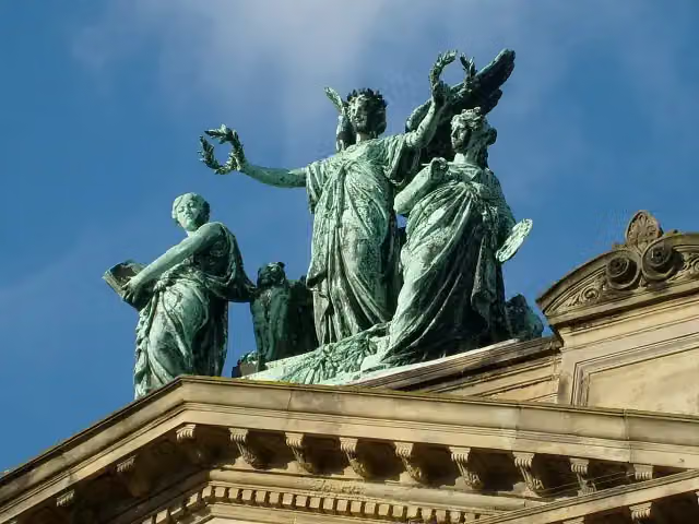 Teylers MuseumMuseum · 2.7 km from the route
- 5
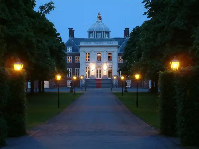 Huis ten BoschCastle · 3.8 km from the route
- 6
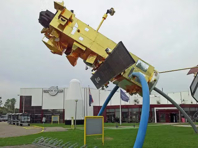 Space ExpoMuseum · 920 m from the route
- 7
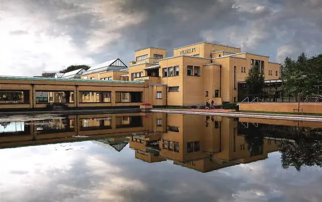 Kunstmuseum Den HaagMuseum · 1.1 km from the route
- 8
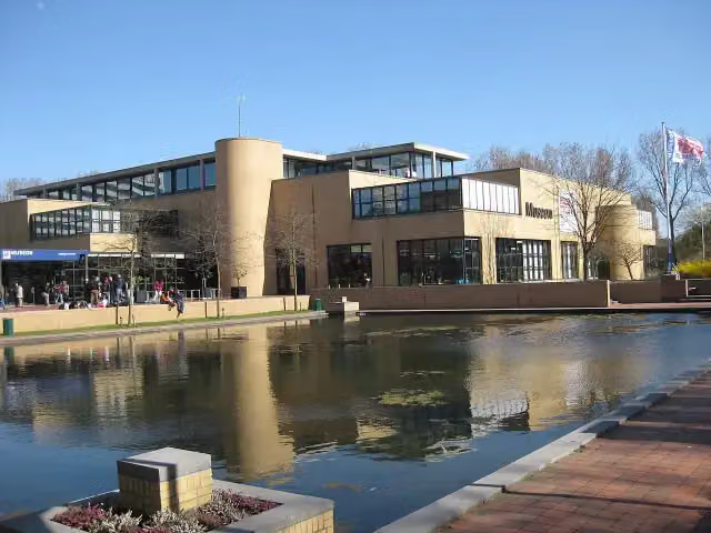 Museon-OmniversumMuseum · 1.1 km from the route
- 9
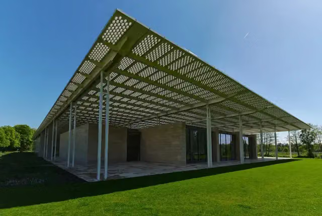 Museum VoorlindenMuseum · 2 km from the route
- 10
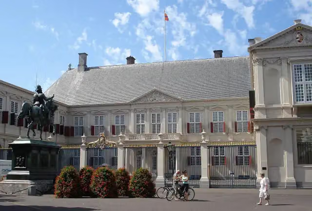 Paleis NoordeindeCastle · 3.1 km from the route
- 11
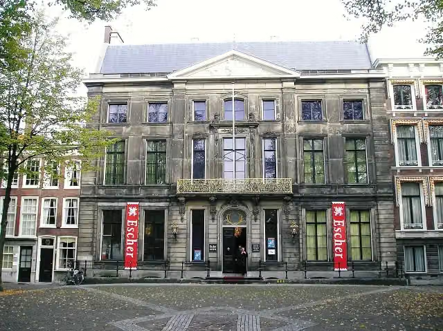 Escher in Het PaleisMuseum · 3.4 km from the route
- 12
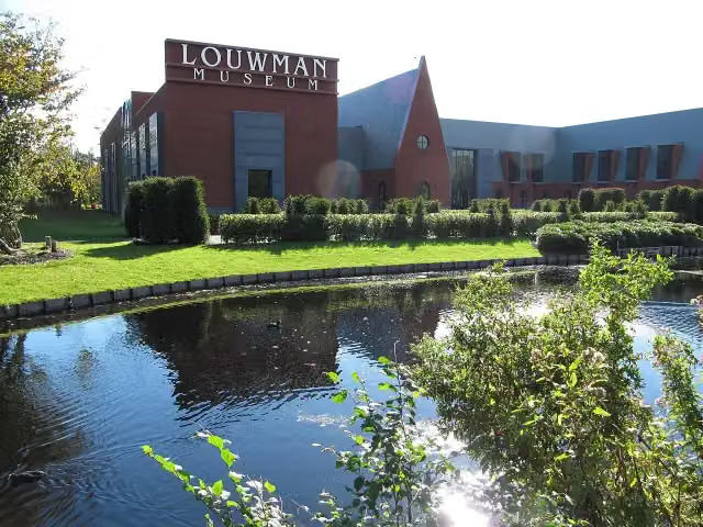 Louwman MuseumMuseum · 3.6 km from the route
- 13
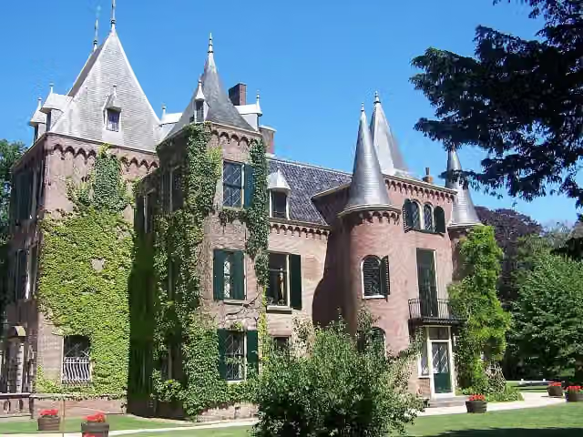 Kasteel KeukenhofCastle · 4.3 km from the route
- 14
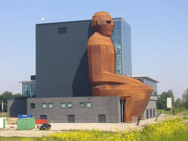 CorpusMuseum · 5.2 km from the route
- 15
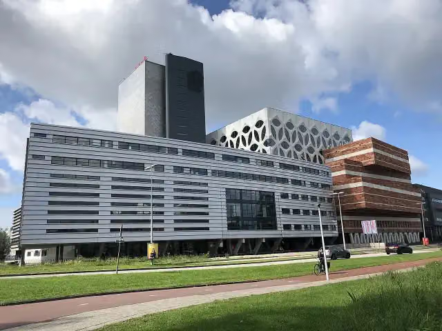 Naturalis Biodiversity CentreMuseum · 6.7 km from the route
- 16
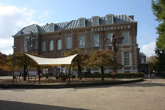 Wereldmuseum LeidenMuseum · 7.4 km from the route
- 17
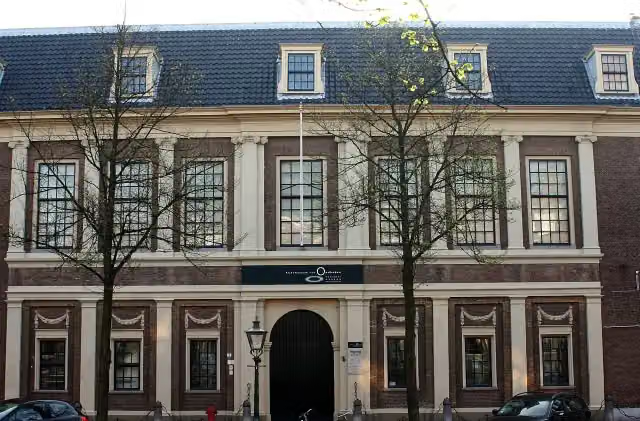 Rijksmuseum van OudhedenMuseum · 7.8 km from the route
- 18
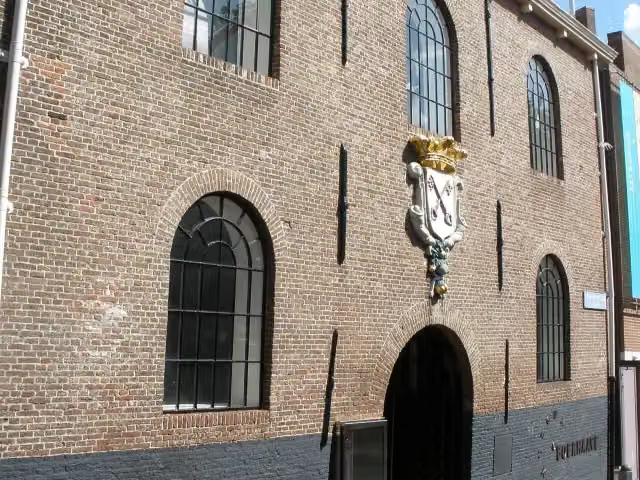 Rijksmuseum BoerhaaveMuseum · 7.8 km from the route
- 19
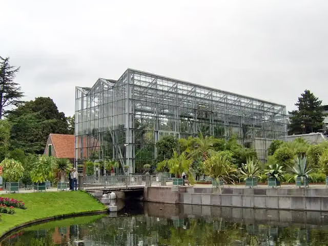 Hortus botanicus LeidenAttraction · 7.8 km from the route
- 20
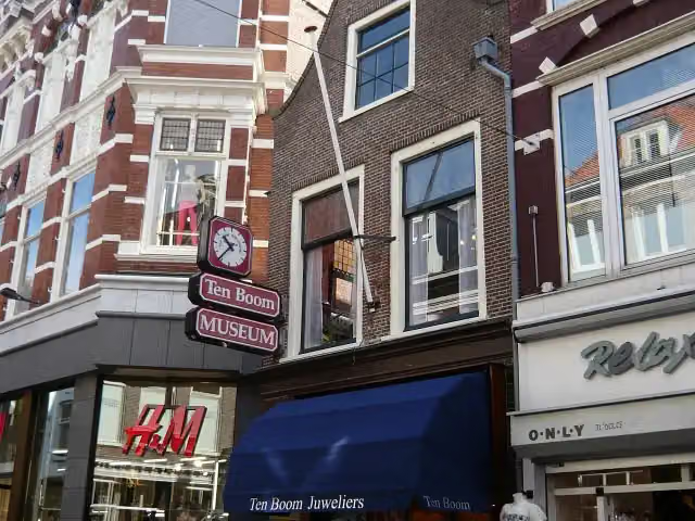 Corrie ten Boom MuseumMuseum · 2.4 km from the route
- 21
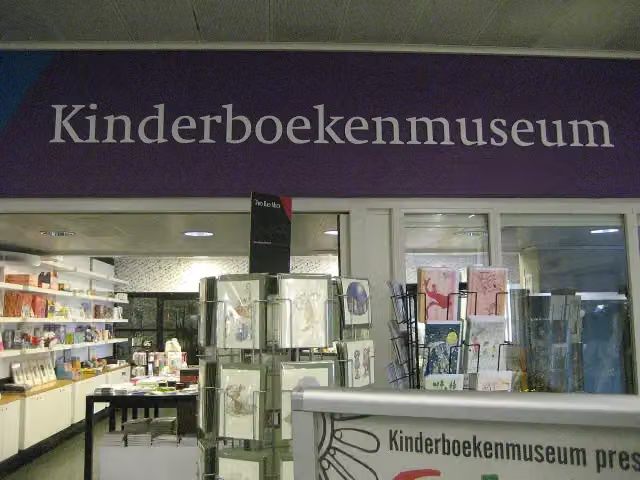 KinderboekenmuseumMuseum · 4.2 km from the route
- 22
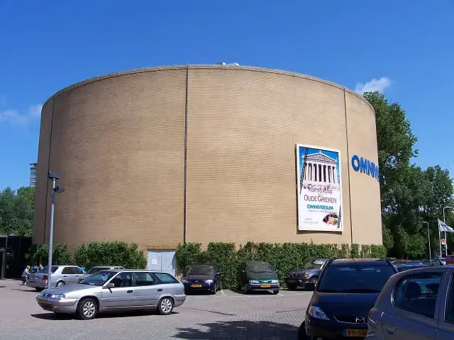 OmniversumAttraction · 1.2 km from the route
- 23
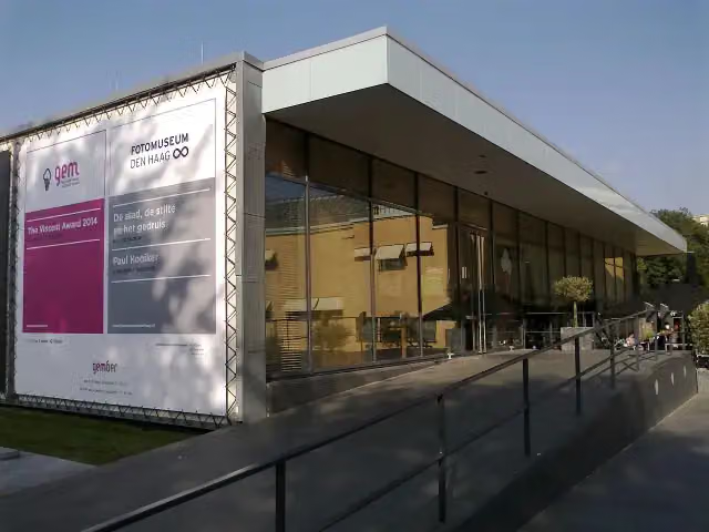 Fotomuseum Den HaagMuseum · 991 m from the route
- 24
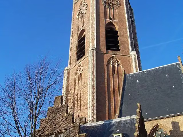 Grote of Sint-Jacobskerk (The Hague)Attraction · 3.3 km from the route
- 25
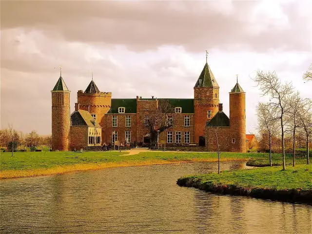 Westhove CastleCastle · 226 m from the route
Explore more
Frequently asked questions
How long is EuroVelo 12 - North Sea Cycle Route - part Nederland?
EuroVelo 12 - North Sea Cycle Route - part Nederland is 624 km long, in 2 stages of 312 km on average. Allow ± 20:50 h per stage of riding: 15 km an hour, without breaks.
Is this route a circular ride?
No, the route starts and ends at different spots.
Where does this route start?
The route starts in Oldambt.
How hard is this route?
Hard per stage, with 309 m per stage of climbing.
Are there toilets along this route?
Yes, there are 84 public toilets within 100 m of the route. The longest stretch without a toilet is 79.9 km.
Can you fill up with water along this route?
Yes, there are 69 water fountains and refill points within 100 m of the route.
What is there to see along this route?
Along the way you pass Boog van Ziel, Monument Oterdum and Voormalige locatie Borg Luinga.
Start place
More routes from this place
Route data © OpenStreetMap contributors





