 Outdoor Pitstop
Cycle route · Cuxhaven · Updated on 13 November 2026
[D10] Elberadweg [linkselbisch] cycle route
[D10] Elberadweg [linkselbisch] is a cycle route of 839.5 km from Cuxhaven. Along the way you'll find 1,922 benches, 16 water fountains and refill points, 99 public toilets, 30 bike pumps and 1 honesty box.
i
i
i
The route step by step
From start to finish, with what you pass along the way and the distance in between.
- 839.5 km
- ± 3:45 h per stage
- ↑ 822 m · ↓ 683 m
- Moderate per stage
- From A to B
- National route
Start in Cuxhaven
0 kmAt the start: public toilet.
1.1 km · 21 benches
Public toilet
1.1 km1 km · 29 benches
Public toilet
2.1 km474 m · 4 benches
2 public toilets
2.6 km1.9 km · 15 benches

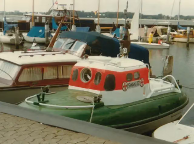
Rettungsschiff Swantje
4.5 kmPublic toilet and bike pump
190 m · 4 benches
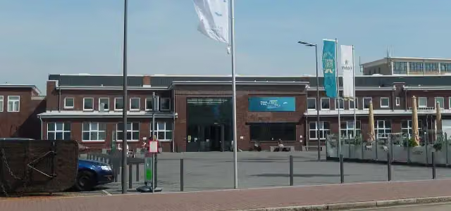
Windstärke 10
4.7 kmMuseum
325 m
Public toilet
5.1 km4.8 km
Aussichtsturm
9.9 kmObservation tower
359 m · bench
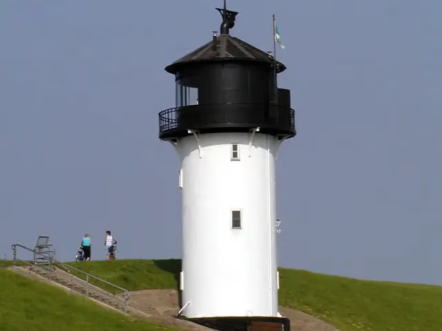
Altenbruch Leuchtturm Dicke Berta
10.3 kmPublic toilet
834 m · 8 benches
2 public toilets
11.1 km4.4 km · 5 benches
2 public toilets
15.5 km2.4 km · 5 benches
2 public toilets
17.8 km534 m · 4 benches
Public toilet
18.4 km38.2 km · 49 benches
Public toilet
56.6 km1.3 km · 5 benches
Naturblick
57.9 kmObservation tower
5.4 km · 3 benches
Public toilet
63.3 km1.4 km · 4 benches
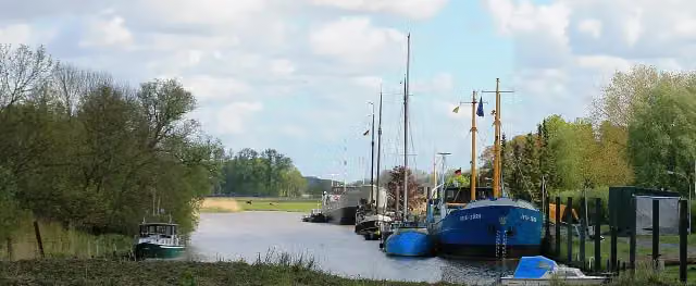
Kehdinger Küstenschiffahrtsmuseum
64.7 kmMuseum
23.7 km · 33 benches
Bike pump
88.4 km1.2 km
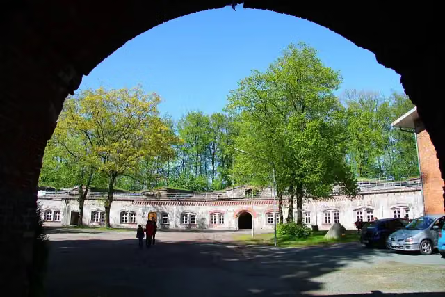
Festung Grauerort
89.6 kmPublic toilet
1.1 km · 6 benches
Public toilet
90.7 km7.7 km · bench
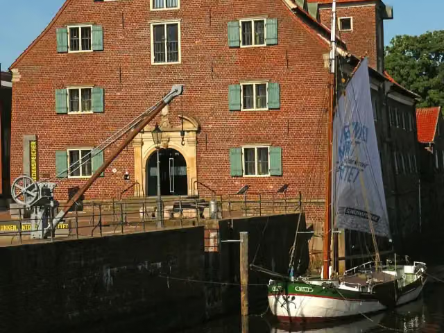
Schwedenspeicher and 1 more
98.4 kmGreundiek and 2 public toilets
284 m · 7 benches
Franziskaner Mönch
98.7 kmMemorial
275 m · 13 benches
Public toilet
98.9 km5 km · 5 benches
Public toilet and bike pump
104 km8.2 km · 54 benches
Public toilet
112.2 km164 m
Bike pump
112.3 km1.7 km · 6 benches
Hogendiekbrück
114.1 kmAttraction
887 m
Public toilet
115 km2.2 km · bench
2 public toilets and water point
117.1 km4.3 km
Museum Altes Land
121.4 kmMuseum
Show the other 129 steps
537 m
Bike pump
121.9 km175 m · 5 benches
Public toilet
122.1 km21.3 km · 32 benches
Public toilet
143.4 km3.5 km · 27 benches
Elbe 3 and 3 more
146.9 kmTiger, Claus D. and Dampfeisbrecher Stettin
4.2 km · 22 benches
Rickmer Rickmers
151.1 kmPublic toilet
214 m · 11 benches
Public toilet
151.3 km184 m · 12 benches
Public toilet and 2 water fountains and refill points
151.5 km1.8 km · 43 benches
German Customs Museum
153.3 kmMuseum
606 m · 4 benches
Haus der Photographie
153.9 kmMuseum
180 m · 9 benches
Public toilet
154.1 km1 km · 18 benches
German Food Additives Museum
155.1 kmMuseum
3.3 km · 39 benches
Public toilet, water point and bike pump
158.5 km3.9 km · 4 benches
Bike pump
162.4 km12.6 km · 6 benches
2 bike pumps
174.9 km2.4 km · 6 benches
Public toilet
177.3 km11.9 km · 18 benches
Water point
189.2 km291 m
Public toilet
189.5 km705 m · 3 benches
Public toilet
190.2 km22.1 km · 50 benches
Bike pump
212.3 km19.1 km · 12 benches
Elbschloss Bleckede and 1 more
231.4 kmAussichtsturm am Biosphaerium Elbtalaue and public toilet
8.2 km · 7 benches
Zwangsarbeiterlager
239.6 kmBike pump
8.8 km · bench
Public toilet
248.4 km556 m
Public toilet
249 km14.3 km · 25 benches
Bike pump
263.3 km236 m · 3 benches
Water point
263.5 km287 m
Museum im Alten Zollhaus
263.8 km3 public toilets
151 m · 13 benches
2 public toilets
264 km5.2 km · 6 benches
Bike pump
269.1 km8.3 km · 9 benches
Bike pump
277.5 km19.5 km · 15 benches
Bike pump
297 km13.1 km · 9 benches
Woodhenge am Hasenberg
310.1 kmAttraction
633 m · bench
Observation tower
310.7 kmObservation tower
9.7 km · 19 benches
Honesty box
320.4 km1.4 km · 10 benches
Grenzlandmuseum Schnackenburg
321.8 kmMuseum
8.4 km · 6 benches
Bockwindmühle Wanzer
330.2 kmAttraction
8.4 km
Kriegerdenkmal
338.7 kmMemorial
5.4 km · 21 benches
Public toilet
344 km26.6 km · 17 benches
Elbtor
370.6 kmPublic toilet
7.1 km · 8 benches
Water point
377.8 km5 km · 2 benches
Kirchenruine Käcklitz
382.8 kmRuins
2.8 km
Water point
385.6 km15.3 km · 12 benches
Water point and bike pump
400.9 km14.9 km · 9 benches
Burgmuseum Schloßfreiheit
415.7 km2 public toilets
172 m · 20 benches
Public toilet
415.9 km522 m · 11 benches
Public toilet
416.4 km52.6 km · 6 benches
Kriegerdenkmal Heinrichsberg
469 kmMemorial
20.5 km · 17 benches
Borussia-Statue
489.5 kmMemorial
709 m · 6 benches
Public toilet
490.2 km1.9 km · bench
Hafenhubbrücke and 1 more
492.1 kmKettenschleppdampfer "Gustav Zeuner" and bike pump
152 m · 4 benches
Taucherschacht II
492.3 kmAttraction
1.6 km · 12 benches
Otto-von-Guericke-Museum
493.9 kmMuseum
402 m · 5 benches
2 public toilets
494.3 km462 m · 14 benches
Fahnenmonument
494.8 kmMemorial
554 m · 5 benches
Public toilet
495.3 km343 m · 7 benches
Altes Leipziger Tor and 2 more
495.7 kmBastion Cleve and Domfelsen
306 m · 16 benches
Zeitzähler
496 kmMemorial
1.9 km · 38 benches
2 bike pumps
497.9 km34.9 km · 41 benches
Public toilet
532.7 km4.2 km · 3 benches
Burg Walternienburg
536.9 kmBike pump
4.5 km · 2 benches
Water point
541.4 km14.9 km · 3 benches
Bike pump
556.3 km875 m · 5 benches
Public toilet
557.1 km9.8 km · 15 benches
Schloss Großkühnau
566.9 kmCastle
3.4 km · 5 benches
Kornhaus
570.3 km2 public toilets
1.9 km · 5 benches
Meisterhaus Kandinsky/Klee and 4 more
572.2 kmMeisterhaus Muche/Schlemmer, Meisterhäuser, Meisterhaus Moholy-Nagy/Feininger and Direktorenhaus Gropius
759 m · 7 benches
Bauhaus
573 kmMuseum
1.8 km · 39 benches
Bauhaus Museum Dessau
574.8 kmPublic toilet
225 m · 2 benches
Public toilet and water point
575 km307 m
Johannbau
575.3 kmCastle
6.9 km · 9 benches
Public toilet
582.2 km6.3 km · 13 benches
Gedenkstein 1914-1918
588.4 kmMemorial
4.8 km · 11 benches
3 public toilets
593.2 km324 m · 2 benches
Kriegerdenkmal
593.5 kmMemorial
1.2 km · 2 benches
Grotte der Egeria
594.8 kmAttraction
19.2 km · 2 benches
Public toilet
614 km154 m · 2 benches
Haus der Alltagsgeschichte and 1 more
614.2 kmFuturea Science Center and public toilet
191 m · 11 benches
Public toilet
614.4 km164 m · 7 benches
Hamlethaus
614.5 kmAttraction
368 m · 10 benches
Melanchthonhaus and 2 more
614.9 kmKatharina von Bora and Lutherhaus
36.7 km · 82 benches
2 public toilets
651.6 km8.3 km · 2 benches
Bike pump
659.9 km339 m
Public toilet
660.2 km20.6 km · 14 benches
Aussichtsturm „Deichgucker“
680.9 kmObservation tower
871 m · 24 benches
Bärengraben and 6 more
681.7 kmDenkmal der Begegnung, Ehrenmal "Ruhm dem Sowjetvolk", Kürfürstliche Gemächer, Lapidarium, Erinnerungsort Torgau, Torgau, Residenz der Renaissance und Reformation and public toilet
177 m · 7 benches
Hausmannsturm and 1 more
681.9 kmVertriebenendenkmal and public toilet
208 m · 4 benches
Gedenkstätte Geschlossener Jugendwerkhof Torgau
682.1 kmMuseum
3.2 km · bench
Gefallenendenkmal
685.3 kmMemorial
3.7 km · bench
Water point
689 km725 m
Water point
689.7 km153 m
Erich Weinert
689.9 kmMemorial
8.2 km · bench
Bismarck-Denkmal and 1 more
698.1 kmGefallenendenkmal 1. Weltkrieg
300 m
2 bike pumps
698.4 km25.5 km · 16 benches
Public toilet
723.9 km6.3 km · 8 benches
Hafenwächter
730.3 kmObservation tower
2.1 km · 6 benches
Public toilet
732.4 km166 m · 7 benches
Public toilet
732.5 km304 m · 21 benches
Public toilet
732.8 km12.1 km · 39 benches
Schloss Hirschstein
744.9 kmCastle
1.5 km · 5 benches
Water point
746.5 km5 km · 7 benches
Burgberg Zehren
751.5 kmArchaeological site
5.4 km · 9 benches
Kloster Zum Heiligen Kreuz
756.9 kmAttraction
1.7 km · 10 benches
Benno-Mütze
758.6 kmBike pump
3.4 km · 14 benches
2 public toilets
762 km14.2 km · 23 benches
Mühlenstube Gohliser Windmühle
776.2 kmPublic toilet
2.9 km
Burgwall Briesnitz
779.1 kmArchaeological site
3 km · 5 benches
Public toilet
782.1 km1.7 km · 8 benches
Saxon State Parliament
783.9 kmAttraction
406 m · 12 benches
Theaterkahn Dresden and 2 more
784.3 kmNapoleonstein, Frederick Augustus I of Saxony Monument and public toilet
276 m · 13 benches
Brühl's Terrace
784.6 kmPublic toilet
155 m · 28 benches
Kunsthalle im Lipsiusbau and 4 more
784.7 kmMuseum Festung Dresden, Gottfried Semper Denkmal, Hinsehen and Ludwig Richter Denkmal
159 m · 28 benches
Johann Friedrich Böttger Denkmal and 1 more
784.9 kmMoritzmonument and public toilet
1.8 km · 35 benches
Public toilet
786.6 km7.6 km · 83 benches
Hungersteine
794.3 kmAttraction
3.7 km · 19 benches
Public toilet
798 km2.4 km · 10 benches
2 public toilets
800.4 km5.7 km · 34 benches
Stadtmuseum Pirna
806.1 kmMuseum
218 m · 6 benches
Bike pump
806.3 km2.9 km · 18 benches
Bike pump
809.3 km898 m · 3 benches
Public toilet
810.2 km4.1 km · 10 benches
Bike pump
814.2 km2.8 km · 26 benches
Public toilet and bike pump
817.1 km166 m · 17 benches
Public toilet
817.2 km5.7 km · 11 benches
Hunger Stone
823 kmPublic toilet, water point and bike pump
1 km · 32 benches
Public toilet
824 km413 m
2 public toilets and water point
824.4 km375 m · bench
2 public toilets
824.8 km228 m
Public toilet
825 km3.5 km · 30 benches
Public toilet
828.6 km11 km · 31 benches
Finish
839.5 km
Longest stretch without a toilet: 80 kmBetween 264 km and 344 km there is no public toilet within 100 m of the route.
The route with the water points, toilets and sights within 100 m of it.
100 sights along the way
In the order you pass them. With the Outdoor Pitstop app you hear their story on the spot. 92 more along the route are on the map.
i
Photo: Chris Hartmann · Wikimedia Commons · CC BY-SA 3.0View the photo on Wikimedia CommonsAttraction · after 4.7 km
i
Photo: Gerd Fahrenhorst · Wikimedia Commons · CC BY-SA 3.0View the photo on Wikimedia CommonsMuseum · after 4.7 km

Observation tower · after 9.9 km
i
Photo: User:Raboe001 · Wikimedia Commons · CC BY-SA 2.5View the photo on Wikimedia CommonsAttraction · after 10.4 km
Observation tower · after 57.9 km
i
Photo: Dr. Karl-Heinz Hochhaus · Wikimedia Commons · CC BY 3.0View the photo on Wikimedia CommonsMuseum · after 64.7 km
i
Photo: Morn the Gorn · Wikimedia Commons · CC BY-SA 3.0View the photo on Wikimedia CommonsAttraction · after 89.6 km
i
Photo: Lämpel · Wikimedia Commons · CC BY-SA 3.0View the photo on Wikimedia CommonsMuseum · after 98.4 km
Stages (15)
- 1[D10] Elberadweg linkselbisch [Abschnitt A]56.8 km
- 2[D10] Elberadweg linkselbisch [Abschnitt B]80.2 km
- 3[D10] Elberadweg linkselbisch [Abschnitt C]38 km
- 4[D10] Elberadweg linkselbisch [Abschnitt D]35.4 km
- 5[D10] Elberadweg linkselbisch [Abschnitt E]53.5 km
- 6[D10] Elberadweg linkselbisch [Abschnitt F]81.8 km
- 7[D10] Elberadweg linkselbisch [Abschnitt G]26.1 km
- 8[D10] Elberadweg linkselbisch [Abschnitt H]44.1 km
- 9[D10] Elberadweg linkselbisch überwiegend [Abschnitt I]78.5 km
- 10[D10] Elberadweg linkselbisch überwiegend [Abschnitt J]75.9 km
- 11[D10] Elberadweg linkselbisch [Abschnitt K]59.3 km
- 12[D10] Elberadweg linkselbisch [Abschnitt L]68.8 km
- 13[D10] Elberadweg linkselbisch [Abschnitt M]59.3 km
- 14[D10] Elberadweg linkselbisch [Abschnitt N]42.7 km
- 15[D10] Elberadweg linkselbisch [Abschnitt O]39.1 km
Elevation and terrain
- Up
- ↑ 822 m
- Down
- ↓ 683 m
- Highest point
- 153 m
- Lowest point
- -0 m
Nowhere steeper than 5%.
Elevation from Copernicus GLO-30 (European Union and ESA), smoothed.
produced using Copernicus WorldDEM-30 © DLR e.V. 2010-2014 and © Airbus Defence and Space GmbH 2014-2018 provided under COPERNICUS by the European Union and ESA; all rights reserved
Way types
839.5 km in total- Track: 233 km
- Path: 198 km
- Street: 175.2 km
- Road: 121.9 km
- Busy road: 40 km
- Cycle path: 39.4 km
- Footpath (walk your bike): 11.7 km
- Unknown: 18.7 km
Surfaces
839.5 km in total- Asphalt: 569.1 km
- Paved: 178.3 km
- Gravel: 18.9 km
- Natural: 1.3 km
- Unpaved: 25 m
- Unknown: 70.3 km
About the cycle route [D10] Elberadweg [linkselbisch]
Updated on 13 November 2026, with data from OpenStreetMap, the AHN and Copernicus.
Where do you cycle?
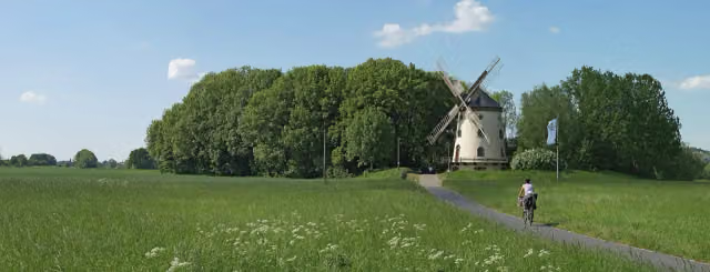
[D10] Elberadweg [linkselbisch] is a cycle route of 839.5 km that starts in Cuxhaven. It does not end where it starts. Along the way you pass Rettungsschiff Swantje (after 4.7 km), Windstärke 10 (after 4.7 km) and Aussichtsturm (after 9.9 km).
How hard is the route?
You climb 822 m in total and descend 683 m. Allow ± 3:45 h per stage, without breaks. Per stage the level is moderate.
What roads do you cycle on?
The longest part is track (233 km), path (198 km) and street (175.2 km). Of the surface, 569.1 km asphalt and 178.3 km paved. For 70.3 km the surface is not known.
Pitstops along the way
Within 100 metres of the route there are 1,922 benches, 16 water fountains and refill points, 99 public toilets, 30 bike pumps and 1 honesty box. The longest stretch without a toilet is 80 km. The Outdoor Pitstop app navigates you there.
The Elberadweg (Elbe Cycle Route) is a long-distance cycle route along the Elbe; as the D10 it runs for about 840 km through Germany on the left bank, from Cuxhaven on the North Sea to the Czech border at Hřensko. You ride through Hamburg, Magdeburg, Lutherstadt Wittenberg and Meissen, and finish in Saxon Switzerland. The Rickmer Rickmers lies on the route in Hamburg, and the Elbschloss stands at Bleckede. Most of it is asphalt. We know of 99 toilets and 30 bike pumps along the way, but only a handful of drinking water points.
Source: Wikipedia (CC BY-SA)
Cycle routes nearby
6- Weser-RadwegHard · From A to B515.4 km
- EuroVelo 12 - North Sea Cycle Route - part GermanyHard · From A to B929.4 km
- Nordseeküstenroute (Niedersachsen Bremerhaven-Hamburg)Hard · From A to B167.1 km
- Vom Teufelsmoor zum WattenmeerHard · From A to B90.7 km
- Vom Teufelsmoor zum WattenmeerHard · From A to B80.2 km
- Vom Teufelsmoor zum Wattenmeer AlternativeModerate · From A to B48 km
Sights nearby
Within 10 km of the route, best known first.
- 1
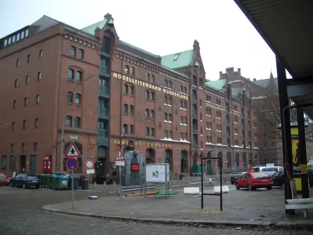 Miniature WonderlandAttraction · 147 m from the route
- 2
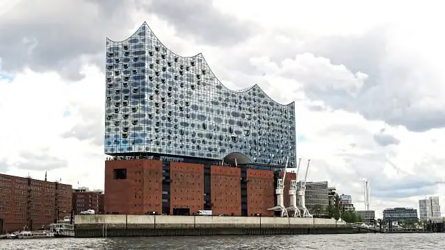 Elbe Philharmonic HallAttraction · 482 m from the route
- 3
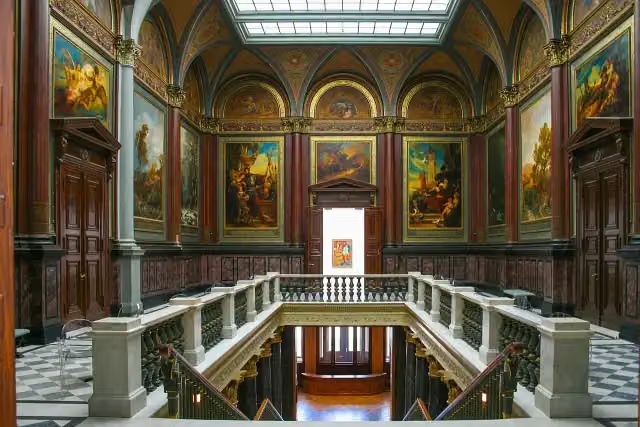 Hamburger KunsthalleMuseum · 897 m from the route
- 4
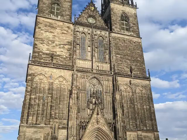 Cathedral of MagdeburgAttraction · 183 m from the route
- 5
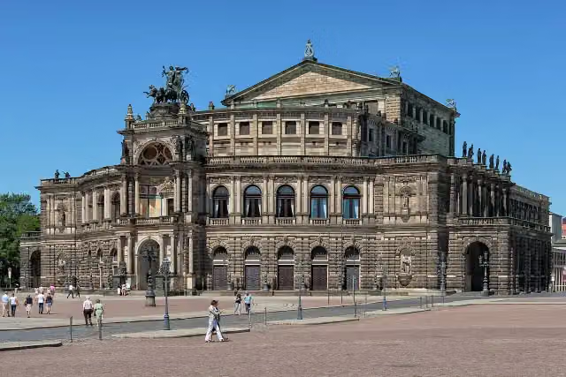 SemperoperAttraction · 150 m from the route
- 6
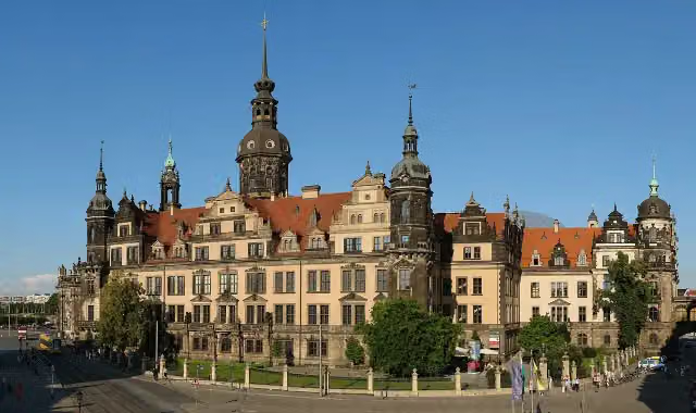 Dresden CastleAttraction · 207 m from the route
- 7
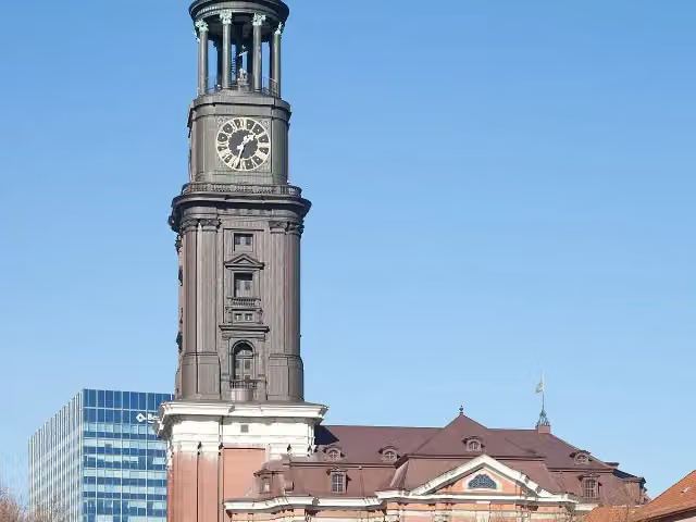 Church of St. MichaelAttraction · 216 m from the route
- 8
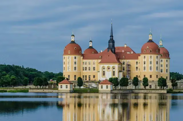 Moritzburg CastleAttraction · 8.4 km from the route
- 9
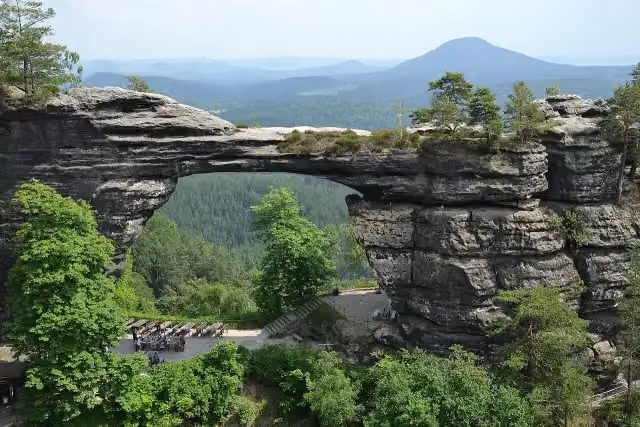 Pravčická bránaAttraction · 3.2 km from the route
- 10
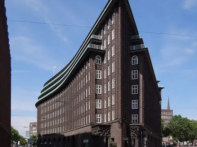 Chilehaus HamburgAttraction · 130 m from the route
- 11
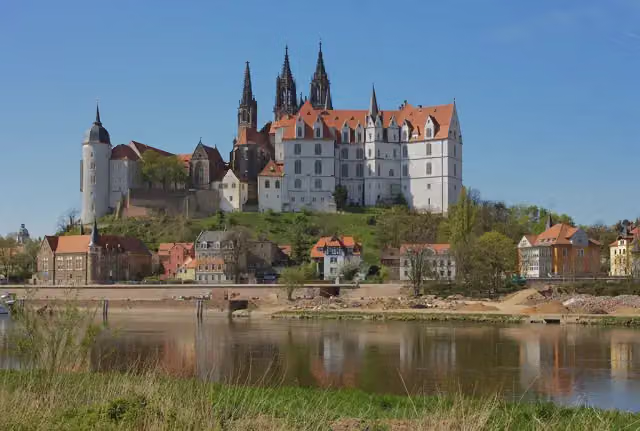 AlbrechtsburgCastle · 137 m from the route
- 12
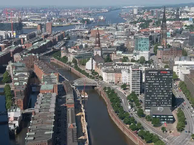 SpeicherstadtAttraction · 153 m from the route
- 13
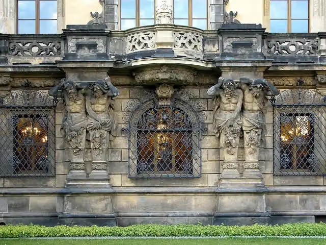 Historisches Grünes GewölbeMuseum · 228 m from the route
- 14
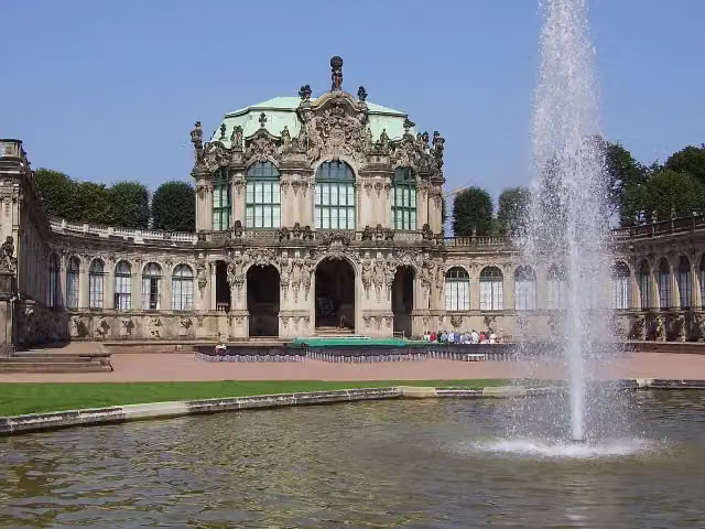 ZwingerAttraction · 318 m from the route
- 15
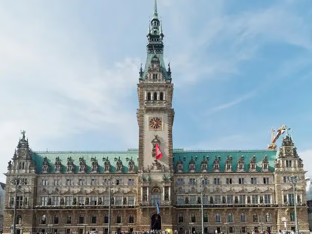 RathausAttraction · 558 m from the route
- 16
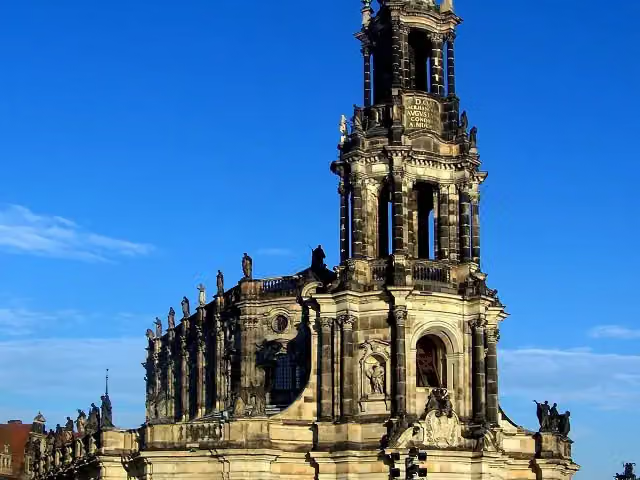 Kathedrale Ss. TrinitatisAttraction · 105 m from the route
- 17
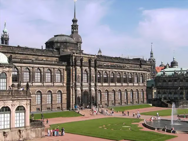 Gemäldegalerie Alte MeisterMuseum · 251 m from the route
- 18
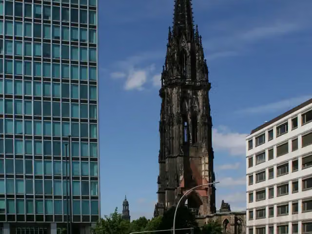 St. Nikolai MuseumMuseum · 301 m from the route
- 19
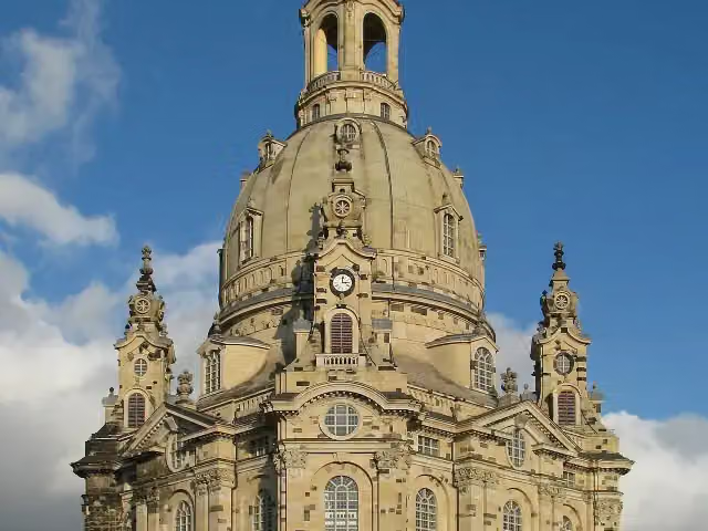 Church of Our LadyAttraction · 188 m from the route
- 20
 Wappen FC St. PauliMemorial · 849 m from the route
- 21
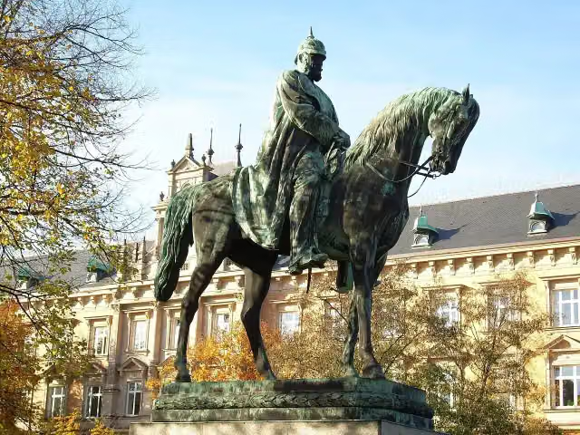 Planten un BlomenAttraction · 1.3 km from the route
- 22
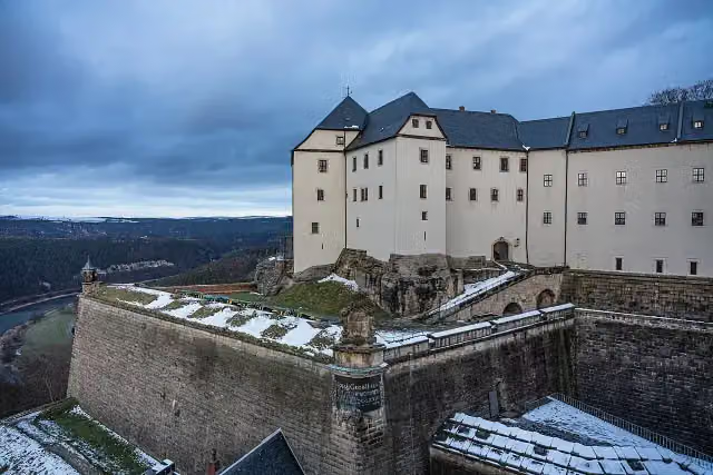 Königstein FortressAttraction · 480 m from the route
- 23
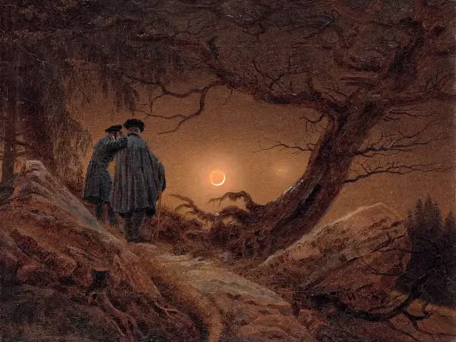 AlbertinumMuseum · 173 m from the route
- 24
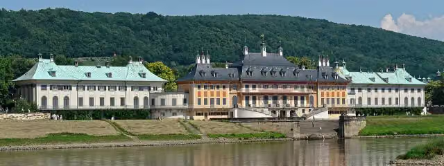 Schloss PillnitzAttraction · 396 m from the route
- 25
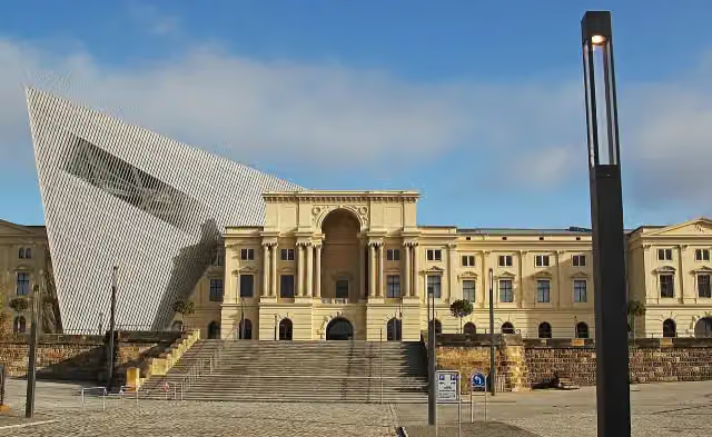 Bundeswehr Military History MuseumMuseum · 2 km from the route
Explore more
Frequently asked questions
How long is [D10] Elberadweg [linkselbisch]?
[D10] Elberadweg [linkselbisch] is 839.5 km long, in 15 stages of 56 km on average. Allow ± 3:45 h per stage of riding: 15 km an hour, without breaks.
How many stages does this route have?
The route is split into 15 stages of 56 km on average, 839.5 km in all. The shortest stage is 26.1 km, the longest 81.8 km.
Is this route a circular ride?
No, the route starts and ends at different spots.
Where does this route start?
The route starts in Cuxhaven.
How hard is this route?
Moderate per stage, with 55 m per stage of climbing.
Are there toilets along this route?
Yes, there are 99 public toilets within 100 m of the route. The longest stretch without a toilet is 80 km.
Can you fill up with water along this route?
Yes, there are 16 water fountains and refill points within 100 m of the route.
What is there to see along this route?
Along the way you pass Rettungsschiff Swantje, Windstärke 10 and Aussichtsturm.
Which stage of this route has the most points of interest?
Stage 11 (59.3 km), with 17 points of interest along the route, such as Meisterhaus Kandinsky/Klee, Meisterhaus Muche/Schlemmer and Meisterhäuser.
Can I download this route as a GPX file?
Yes. Sign in with your Outdoor Pitstop account and choose Download GPX at the top of this page: 10 routes a month for free, unlimited with Pro.
Starting point
More routes from this place
Route data © OpenStreetMap contributors





