 Outdoor Pitstop
Cycle route · Hann. Münden · Updated on 14 November 2026
Weser-Radweg cycle route
Weser-Radweg is a cycle route of 515.4 km from Hann. Münden. Along the way you'll find 1,416 benches, 7 water fountains and refill points, 134 public toilets, 25 bike pumps and 4 honesty boxes and farm vending machines.
i
i
i
The route step by step
From start to finish, with what you pass along the way and the distance in between.
- 515.4 km
- ± 34:20 h
- ↑ 446 m · ↓ 581 m
- Hard
- From A to B
- Regional route
Start in Hann. Münden
0 km1.4 km · 8 benches

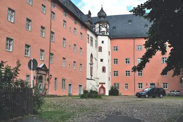
Welfenschloss
1.4 kmAttraction
214 m · 12 benches
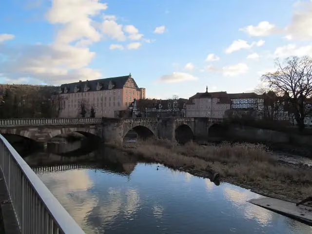
Alte Werrabrücke
1.6 kmAttraction
408 m · 17 benches
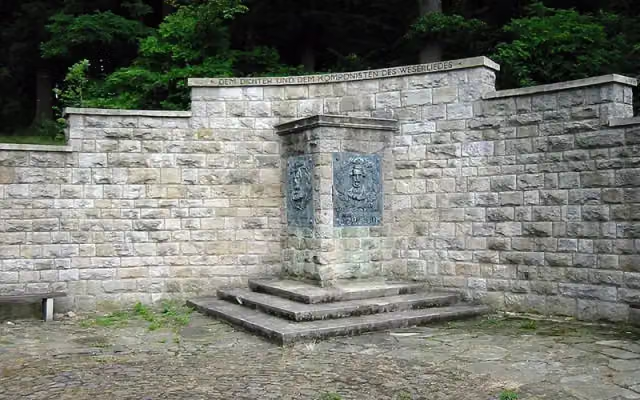
Weserstein and 1 more
2 kmWeserliedanlage
256 m · 4 benches
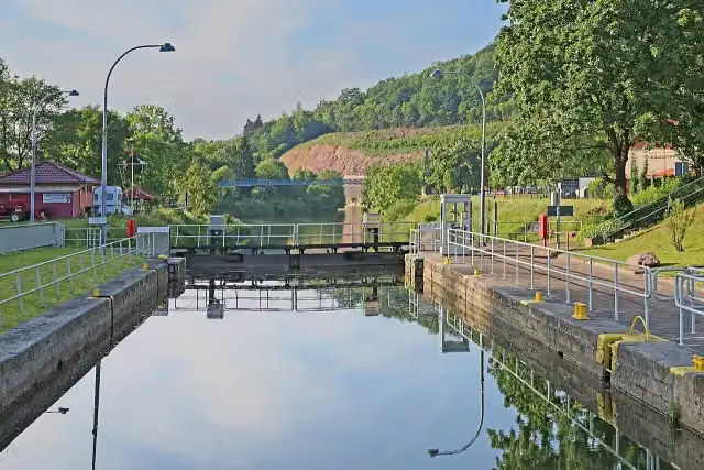
Reste der alten Umschlagstelle Münden an der Weser
2.3 kmRuins
1.9 km · bench
Water point
4.2 km15.9 km · 24 benches
Public toilet
20.1 km6.5 km · 9 benches
2 public toilets and water point
26.5 km6.2 km · 8 benches
Public toilet
32.7 km14.2 km · 68 benches
Public toilet
47 km961 m · 7 benches
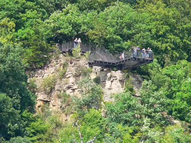
Weser-Skywalk
47.9 kmAttraction
1.2 km · 9 benches
Bike pump
49.1 km6.5 km · 28 benches
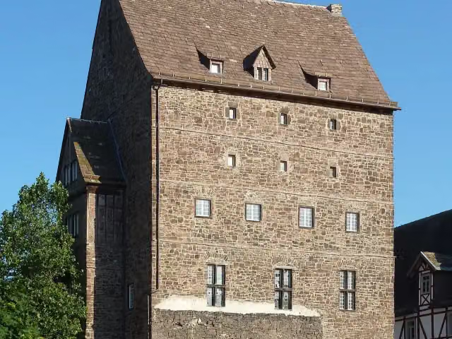
Alte Burg
55.6 kmCastle
254 m · 16 benches
Public toilet and bike pump
55.9 km6.9 km · 28 benches
Public toilet
62.8 km6.5 km · 34 benches
Public toilet
69.2 km1.9 km · 25 benches
Bike pump
71.1 km533 m
Public toilet
71.7 km7.9 km · 24 benches
Bike pump
79.5 km3.2 km · 16 benches
Public toilet
82.7 km18.1 km · 15 benches
Public toilet
100.8 km10.6 km · 26 benches
Honesty box
111.4 km13.6 km · 15 benches
Public toilet and bike pump
125 km4.8 km · 3 benches
Bike pump
129.8 km296 m · bench
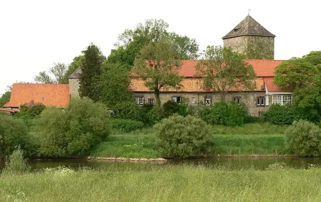
Burg Ohsen
130.1 kmCastle
1.9 km · 3 benches
Tündernsche Mühle
132 kmAttraction
1.8 km · 2 benches
Bike pump
133.8 km8.2 km · 75 benches
Bike pump
142 km14 km · 14 benches
Bike pump
156 km10.3 km · 21 benches
Public toilet
166.3 km
Show the other 73 steps
227 m
Public toilet
166.5 km2.3 km · 7 benches
Public toilet
168.7 km15.7 km · 9 benches
Bike pump
184.5 km1.6 km · 2 benches
Bike pump
186.1 km5.3 km · 4 benches
2 public toilets and bike pump
191.5 km9 km · 40 benches
Public toilet and bike pump
200.5 km4.9 km · 55 benches
Schiffmühle
205.3 kmAttraction
586 m · 37 benches
Großer Kurfürst
205.9 kmMemorial
2.9 km · 24 benches
Bike pump
208.9 km9.6 km · 5 benches
Alte Synagoge Petershagen
218.4 kmWater point and bike pump
1.5 km · 2 benches
Bike pump
220 km15.7 km · 5 benches
Water point
235.7 km3.1 km · bench
Bike pump
238.8 km3.8 km · 14 benches
Water point
242.6 km23.5 km · 38 benches
Polizeimuseum Niedersachsen
266.1 km2 public toilets
265 m · 7 benches
Bike pump
266.3 km8.6 km · 18 benches
Public toilet
274.9 km16.3 km · 3 benches
Public toilet
291.2 km11.2 km · 7 benches
Public toilet and bike pump
302.4 km22.3 km · 12 benches
Public toilet
324.7 km868 m · 10 benches
Public toilet and bike pump
325.6 km13.2 km · 37 benches
Water point
338.8 km4.4 km · 16 benches
Hünenburg
343.2 kmBike pump
6.1 km · 8 benches
Erbhof
349.3 kmAttraction
331 m · 6 benches
2 public toilets
349.6 km15.2 km · 22 benches
Bike pump and honesty box
364.8 km8.9 km · 51 benches
Public toilet
373.7 km1.3 km · 34 benches
Olbers-Planetarium
375 kmAttraction
203 m · 3 benches
Ludwig Franzius
375.2 kmMemorial
336 m · 10 benches
Balge and 3 more
375.5 kmKlosterbalge, Balge and Balge
169 m · 16 benches
The Atlantis House and 5 more
375.7 kmHaus des Glockenspiels, Die Gluckhenne, Ludwig Roselius Museum, Böttcherstraße and Paula-Modersohn-Becker-Museum
230 m · 16 benches
Alexander von Humboldt and 1 more
375.9 kmBalge and public toilet
279 m · 17 benches
Schlachte
376.2 kmPublic toilet
203 m · 14 benches
Steinkammern and 1 more
376.4 kmFangturm
11.7 km · 51 benches
Glockenstein
388.1 kmMemorial
8.1 km · 9 benches
Aussichtsturm Weitblick
396.2 kmObservation tower
622 m
Public toilet
396.8 km770 m
Kapelle am Deich
397.6 kmAttraction
5.9 km · 4 benches
Public toilet
403.5 km2.4 km · 7 benches
Public toilet
405.8 km3.3 km · bench
Public toilet
409.2 km9 km
Honesty box
418.2 km1.1 km · 7 benches
Denkmal des Schwarzen Herzogs
419.3 kmBike pump
10.8 km · 8 benches
Soldatendenkmal and 1 more
430.1 kmSchiffahrtsmuseum Brake (Haus1) and public toilet
20.9 km · 6 benches
Public toilet
451 km224 m
2 public toilets
451.3 km1.2 km · 13 benches
Public toilet
452.4 km10.8 km · 3 benches
Historisches Museum Bremerhaven and 1 more
463.2 kmBusse-Denkmal and public toilet
334 m · 11 benches
Wencke-Dock
463.6 km48 public toilets
181 m · 9 benches
24 public toilets
463.7 km245 m · bench
Radarturm and 1 more
464 kmAltes Unterfeuer Sandstedt and 3 public toilets
176 m · bench
DIVA and 1 more
464.2 kmElbe 3 and public toilet
181 m · 3 benches
Deutsches Schifffahrtsmuseum and 3 more
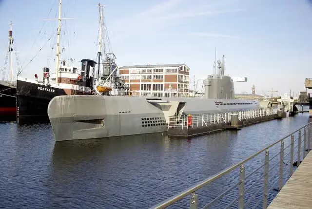
464.3 kmSeefalke, Emma and U-Boot Wilhelm Bauer
164 m · bench
Helmut
464.5 kmPublic toilet
253 m
Klimahaus Bremerhaven
464.8 kmWater point
266 m · 2 benches
Public toilet
465 km164 m · 6 benches
RAU IX
465.2 kmPublic toilet
3.5 km · 27 benches
Public toilet
468.7 km10.9 km · 9 benches
Public toilet
479.6 km431 m · 8 benches
Public toilet and honesty box
480 km28.5 km · 70 benches
Public toilet
508.4 km225 m · 4 benches
Wattenmeer-Besucherzentrum Cuxhaven
508.7 kmBike pump
1.1 km · 10 benches
Observation tower
509.7 kmObservation tower
1.9 km · 13 benches
Public toilet and bike pump
511.6 km889 m · 12 benches
Public toilet
512.5 km181 m · 5 benches
Public toilet
512.7 km179 m · bench
Public toilet
512.9 km378 m · 3 benches
Public toilet
513.2 km747 m · 3 benches
Public toilet
514 km335 m · 4 benches
Public toilet
514.3 km607 m · 14 benches
2 public toilets
514.9 km169 m · 2 benches
Public toilet
515.1 km254 m · 14 benches
Finish
515.4 kmAt the finish: public toilet.
Longest stretch without a toilet: 65.6 kmBetween 200.5 km and 266.1 km there is no public toilet within 100 m of the route.
The route with the pitstops and sights within 100 m of it.
54 sights along the way
In the order you pass them. With the Outdoor Pitstop app you hear their story on the spot. 46 more along the route are on the map.
i
Photo: Dguendel · Wikimedia Commons · CC BY 3.0View the photo on Wikimedia CommonsAttraction · after 1.4 km
i
Photo: GeorgDerReisende · Wikimedia Commons · CC BY-SA 4.0View the photo on Wikimedia CommonsAttraction · after 1.6 km

Attraction · after 2 km
i
Photo: Thomas Robbin · Wikimedia Commons · CC BY-SA 3.0View the photo on Wikimedia CommonsAttraction · after 2.1 km
i
Photo: W. Bulach · Wikimedia Commons · CC BY-SA 4.0View the photo on Wikimedia CommonsRuins · after 2.3 km
i
Photo: Presse03 · Wikimedia Commons · CC BY-SA 3.0View the photo on Wikimedia CommonsAttraction · after 47.9 km
i
Photo: Jan Stubenitzky (Dehio) · Wikimedia Commons · CC BY-SA 3.0View the photo on Wikimedia CommonsCastle · after 55.6 km
i
Photo: Axel Hindemith · Wikimedia Commons · CC BY-SA 4.0View the photo on Wikimedia CommonsCastle · after 130.1 km
Elevation and terrain
- Up
- ↑ 446 m
- Down
- ↓ 581 m
- Highest point
- 141 m
- Lowest point
- 0 m
Nowhere steeper than 5%.
Elevation from Copernicus GLO-30 (European Union and ESA), smoothed.
produced using Copernicus WorldDEM-30 © DLR e.V. 2010-2014 and © Airbus Defence and Space GmbH 2014-2018 provided under COPERNICUS by the European Union and ESA; all rights reserved
Way types
515.4 km in total- Track: 129.8 km
- Path: 128.1 km
- Road: 114.8 km
- Street: 93.6 km
- Cycle path: 24.3 km
- Footpath (walk your bike): 12.5 km
- Busy road: 7.8 km
- Unknown: 3.4 km
Surfaces
515.4 km in total- Asphalt: 402.1 km
- Paved: 82.5 km
- Gravel: 16.7 km
- Unpaved: 750 m
- Natural: 100 m
- Unknown: 12.2 km
About the cycle route Weser-Radweg
Updated on 14 November 2026, with data from OpenStreetMap, the AHN and Copernicus.
Where do you cycle?
Weser-Radweg is a cycle route of 515.4 km that starts in Hann. Münden. It does not end where it starts. You start in Hann. Münden and finish in Cuxhaven. Along the way you pass Welfenschloss (after 1.4 km), Alte Werrabrücke (after 1.6 km) and Weserstein (after 2 km).
How hard is the route?
You climb 446 m in total and descend 581 m. Allow ± 34:20 h, without breaks. The level is hard.
What roads do you cycle on?
The longest part is track (129.8 km), path (128.1 km) and road (114.8 km). Of the surface, 402.1 km asphalt and 82.5 km paved. For 12.2 km the surface is not known.
Pitstops along the way
Within 100 metres of the route there are 1,416 benches, 7 water fountains and refill points, 134 public toilets, 25 bike pumps and 4 honesty boxes and farm vending machines. The longest stretch without a toilet is 65.6 km. The Outdoor Pitstop app navigates you there.
Part of Weser Radweg mit Alternativstrecken
Website of the routeCycle routes nearby
6Sights nearby
Within 10 km of the route, best known first.
- 1
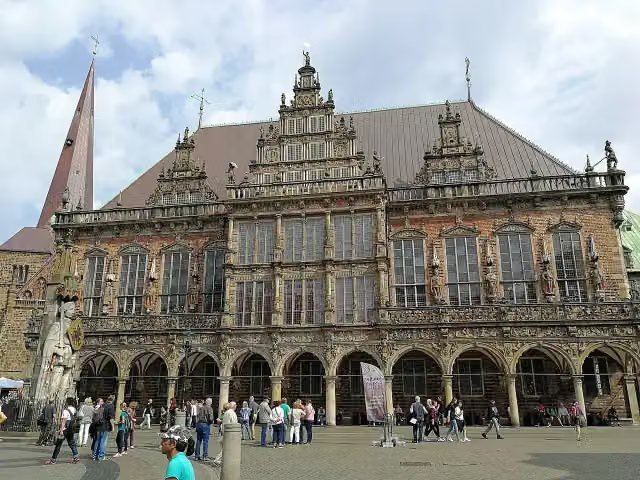 Town HallAttraction · 241 m from the route
- 2
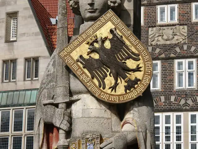 RolandAttraction · 194 m from the route
- 3
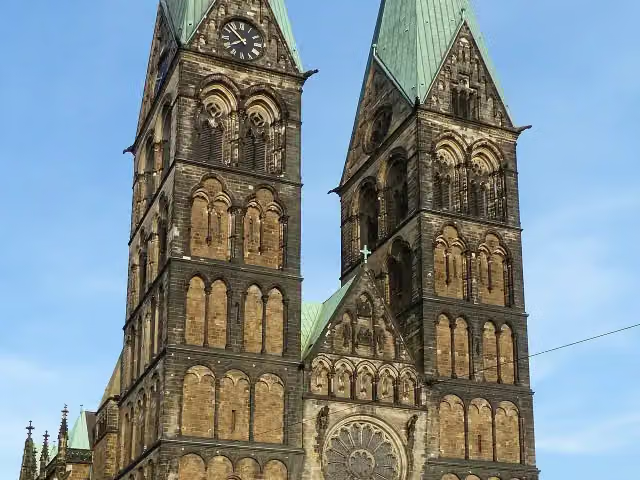 Saint Peter's CathedralAttraction · 274 m from the route
- 4
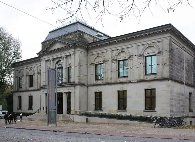 Kunsthalle BremenMuseum · 476 m from the route
- 5
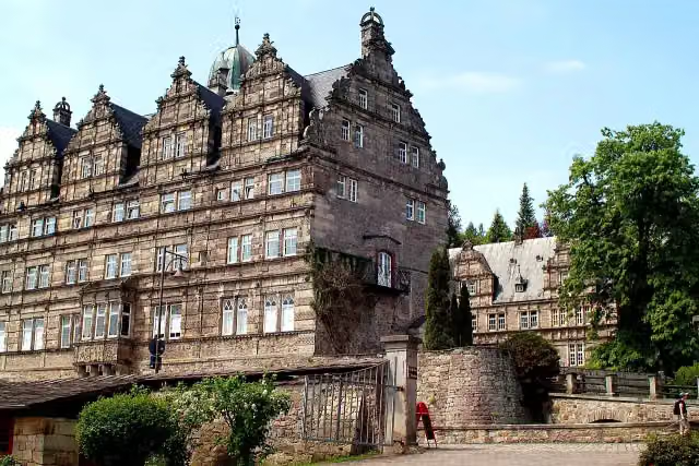 Schloss HämelschenburgAttraction · 4.2 km from the route
- 6
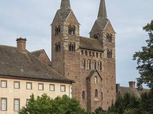 Abteikirche St. Stephanus und VitusAttraction · 139 m from the route
- 7
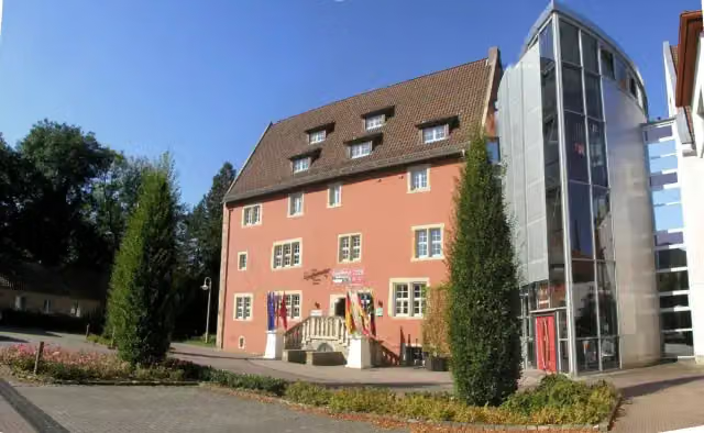 EulenburgMuseum · 531 m from the route
- 8
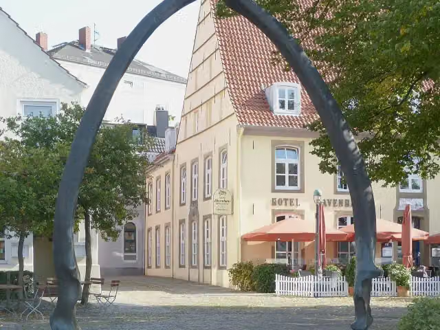 WalkieferAttraction · 550 m from the route
- 9
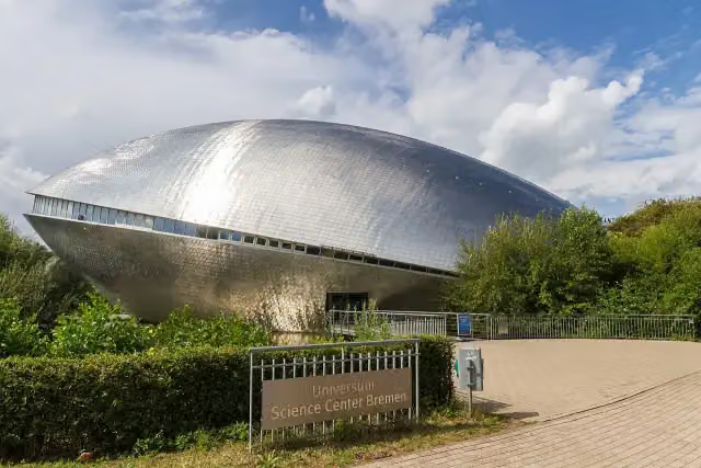 Science CenterMuseum · 4.4 km from the route
- 10
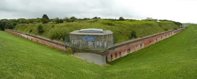 Fort KugelbakeAttraction · 84 m from the route
- 11
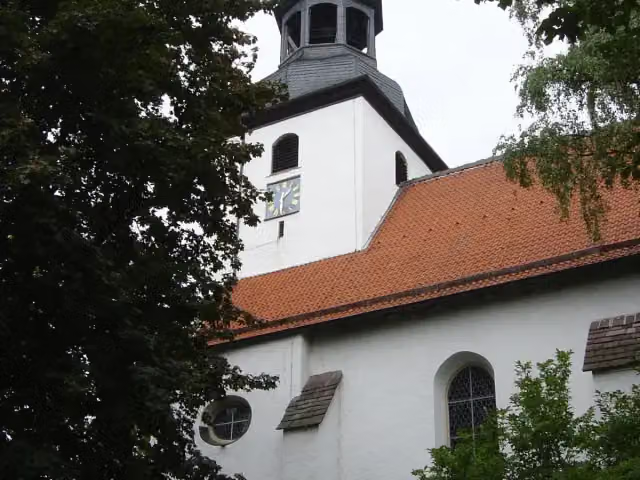 St. Johannes BaptistMonument · 92 m from the route
- 12
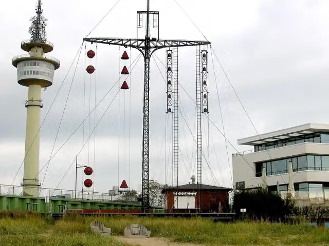 WasserstandsanzeigerAttraction · 99 m from the route
- 13
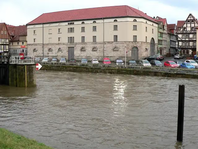 Historischer PackhofAttraction · 104 m from the route
- 14
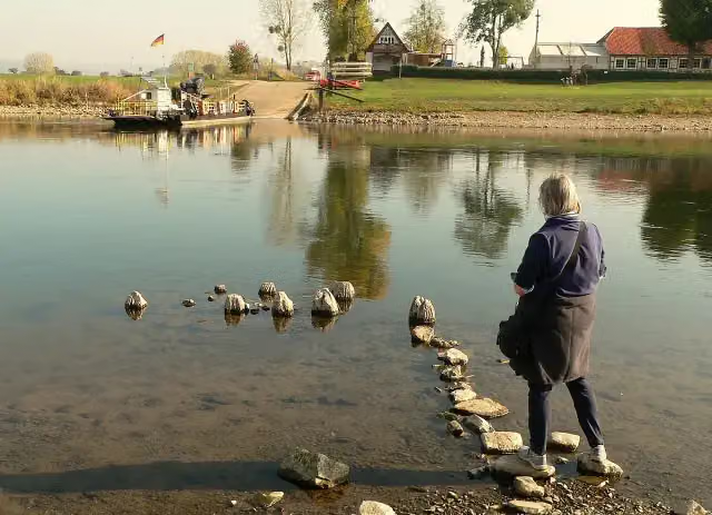 Weserbrücke GrohndeRuins · 113 m from the route
- 15
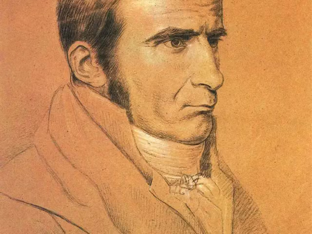 Johann Gottfried SeumeMemorial · 120 m from the route
- 16
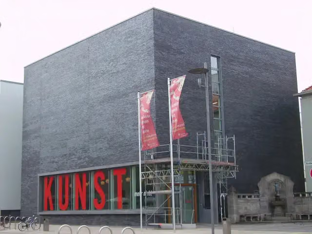 KunstmuseumMuseum · 121 m from the route
- 17
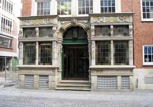 EssighausAttraction · 127 m from the route
- 18
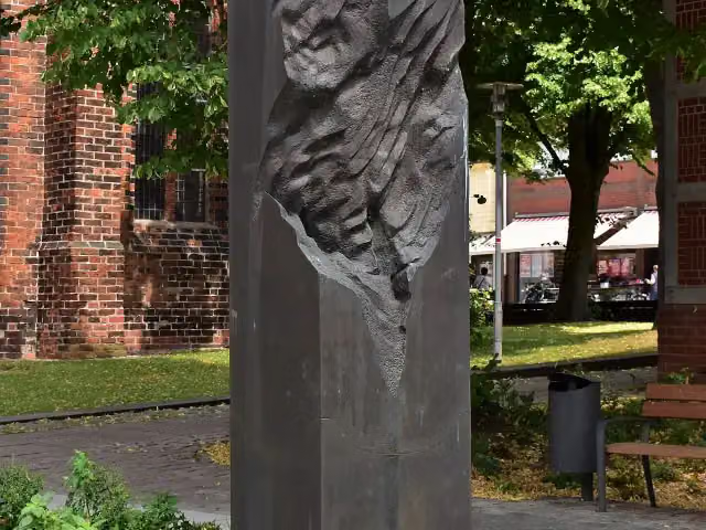 MemorialMemorial · 127 m from the route
- 19
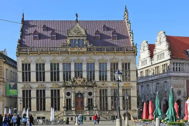 SchüttingAttraction · 128 m from the route
- 20
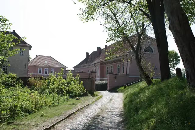 Schloss HoyaCastle · 128 m from the route
- 21
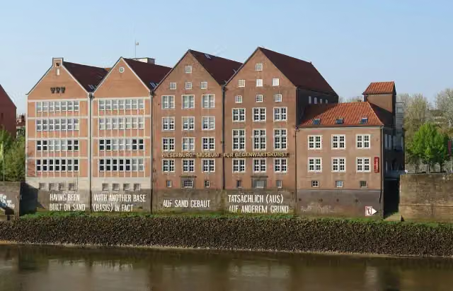 Weserburg Museum für moderne KunstMuseum · 133 m from the route
- 22
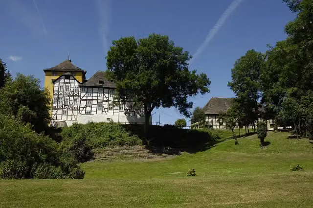 TonenburgCastle · 137 m from the route
- 23
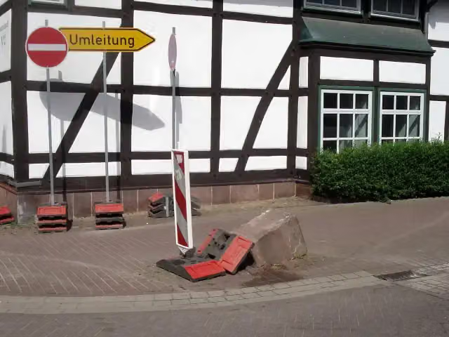 Der UmfahrsteinMemorial · 146 m from the route
- 24
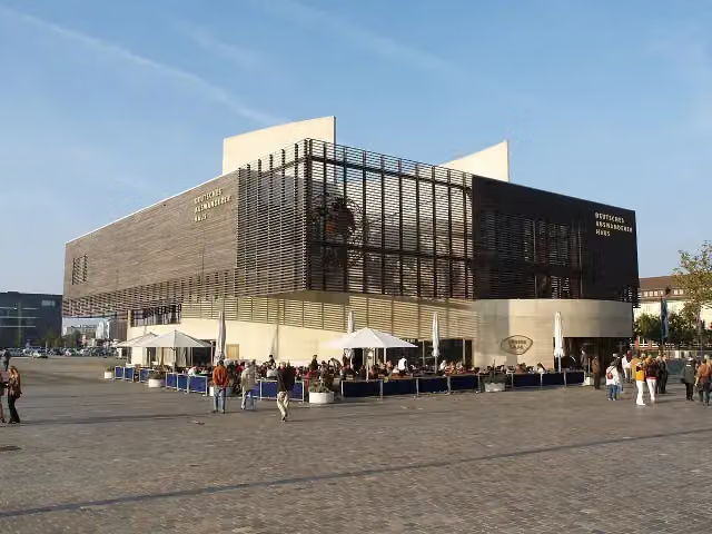 Deutsches AuswandererhausMuseum · 155 m from the route
- 25
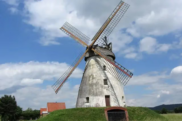 Windmühle VeltheimAttraction · 157 m from the route
Explore more
More cycle routes around Hann. Münden
More nearby
Frequently asked questions
How long is Weser-Radweg?
Weser-Radweg is 515.4 km long. Allow ± 34:20 h of riding: 15 km an hour, without breaks.
Is this route a circular ride?
No, the route runs from Hann. Münden to Cuxhaven.
Where does this route start?
The route starts in Hann. Münden.
How hard is this route?
Hard, with 446 m of climbing.
Are there toilets along this route?
Yes, there are 134 public toilets within 100 m of the route. The longest stretch without a toilet is 65.6 km.
Can you fill up with water along this route?
Yes, there are 7 water fountains and refill points within 100 m of the route.
What is there to see along this route?
Along the way you pass Welfenschloss, Alte Werrabrücke and Weserstein.
Can I download this route as a GPX file?
Yes. Sign in with your Outdoor Pitstop account and choose Download GPX at the top of this page: 10 routes a month for free, unlimited with Pro.
Starting point
More routes from this place
Route data © OpenStreetMap contributors





