 Outdoor Pitstop
Cycle route · Hann. Münden · Updated on 14 November 2026
Weser-Harz-Heide-Radfernweg cycle route
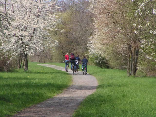
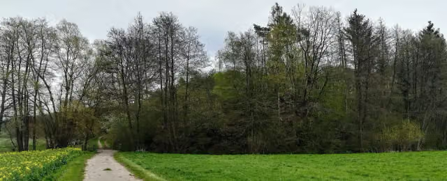
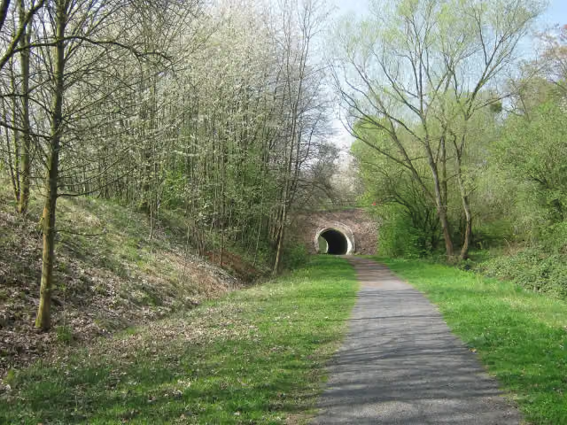
Weser-Harz-Heide-Radfernweg is a cycle route of 418 km from Hann. Münden. Along the way you'll find 1,152 benches, 11 water fountains and refill points, 40 public toilets, 3 bike pumps and 3 honesty boxes and farm vending machines.
i
i
i
The route step by step
From start to finish, with what you pass along the way and the distance in between.
- 418 km
- ± 27:50 h
- ↑ 1,795 m · ↓ 1,913 m
- Hard
- From A to B
- Regional route
Start in Hann. Münden
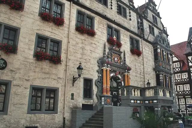
0 kmAt the start: Historisches Rathaus and public toilet.
330 m · 14 benches

Rotunde
330 mAttraction
1.5 km · 6 benches
Ruine St. Laurentius
1.8 kmAttraction
1.9 km · bench
Water point
3.7 km9 km · 18 benches
Water point
12.7 km31.6 km · 193 benches
Public toilet
44.3 km27.8 km · 90 benches
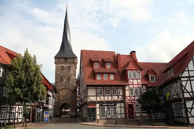
Westerturm
72 kmPublic toilet and water point
412 m · 14 benches
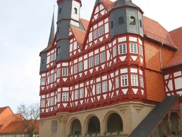
Historisches Rathaus
72.5 kmPublic toilet
196 m · 13 benches
St. Cyriakus Basilika and 1 more
72.6 kmHeimatmuseum Duderstadt
25.5 km · 49 benches
Public toilet
98.2 km12.2 km · 20 benches
Public toilet
110.3 km233 m · 2 benches
Public toilet
110.6 km284 m · 6 benches
Harzkornmagazin
110.9 kmPublic toilet
354 m · bench
Public toilet
111.2 km23.8 km · 27 benches
Public toilet
135 km7.2 km · 13 benches
Public toilet
142.2 km781 m
6 public toilets
143 km665 m · 18 benches
Friedrich Adolph Roemer
143.7 kmMemorial
2.1 km · 18 benches
Skagerrak-Gedenkstätte and 1 more
145.8 kmOberharzer Bergwerksmuseum
239 m · 22 benches
Public toilet
146 km1.5 km · 11 benches
Public toilet
147.5 km12 km · 17 benches
Bergbaumuseum Historische Silbergrube Lautenthals Glück
159.5 kmMuseum
17.3 km · 27 benches
Public toilet
176.9 km31.2 km · 49 benches
Westturm (Kaiserpfalz Werla)
208 kmObservation tower
2.8 km · bench
Public toilet
210.8 km6.8 km · 8 benches
Public toilet
217.6 km14.8 km · 8 benches
Water point
232.4 km588 m · 2 benches
Honesty box
233 km3.3 km · 43 benches
Public toilet
236.3 km403 m · 18 benches
Schloss Wolfenbüttel and 2 more
236.7 kmNathan and Lessinghaus
Show the other 26 steps
1.2 km · bench
Honesty box
237.8 km10.3 km · 45 benches
Public toilet
248.1 km2.1 km · 21 benches
Lessing-Denkmal
250.2 kmMemorial
642 m · 3 benches
Mauer-Mahnmal and 6 more
250.9 kmBrunswick Cathedral, Brunswick Lion, Burgplatz, Dankwarderode Castle, 2000 Jahre Christentum, Heinrich Jasper, water point and bike pump
184 m · 19 benches
Public toilet
251 km449 m · 8 benches
Franz-Abt-Denkmal
251.5 kmPublic toilet
1.1 km · 37 benches
Kolonialdenkmal
252.6 kmMemorial
8.8 km · 64 benches
Public toilet and water point
261.4 km8.4 km · 5 benches
Public toilet
269.8 km3.1 km
Honesty box
272.8 km3.7 km · 4 benches
Public toilet
276.5 km5.7 km · 9 benches
Public toilet
282.2 km8.5 km · 15 benches
Water point
290.7 km629 m · 10 benches
Kavalierhaus
291.3 km2 public toilets and water point
40.1 km · 28 benches
Isenhagen Abbey
331.4 kmAttraction
923 m · 10 benches
2 public toilets
332.3 km14.9 km · 9 benches
Public toilet
347.2 km11.5 km · 24 benches
Observation tower
358.7 kmObservation tower
8.9 km · 13 benches
Bike pump
367.6 km18.5 km · 13 benches
Public toilet
386.1 km295 m · 10 benches
Public toilet
386.4 km16.1 km · 36 benches
Bike pump
402.5 km14.3 km · 29 benches
Water point
416.8 km184 m · bench
Orgeln von St. Johannis
417 kmPublic toilet
544 m · 2 benches
Old Crane
417.5 kmPublic toilet and water point
497 m · 27 benches
Finish
418 kmAt the finish: public toilet and water point.
Longest stretch without a toilet: 44.2 kmBetween 40 m and 44.3 km there is no public toilet within 100 m of the route.
The route with the pitstops and sights within 100 m of it.
31 sights along the way
In the order you pass them. With the Outdoor Pitstop app you hear their story on the spot. 23 more along the route are on the map.
i
Photo: Dguendel · Wikimedia Commons · CC BY 3.0View the photo on Wikimedia CommonsAttraction · after 49 m
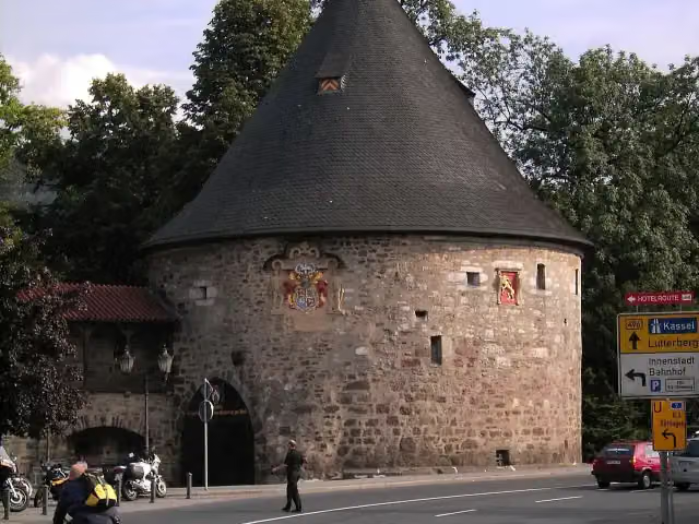
Attraction · after 330 m
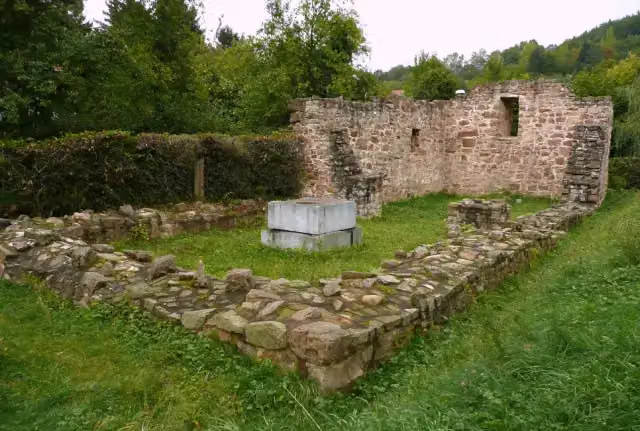
Attraction · after 1.8 km
i
Photo: Amrhingar · Wikimedia Commons · CC BY-SA 3.0View the photo on Wikimedia CommonsViewpoint · after 72 km
i
Photo: Dirk Schmidt (Celsius auf Wikivoyage) · Wikimedia Commons · CC BY-SA 3.0View the photo on Wikimedia CommonsAttraction · after 72.5 km
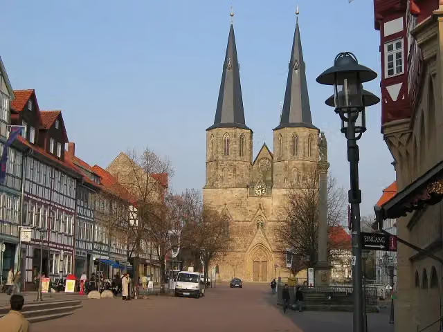
i
Photo: Wikimedia Commons · Wikimedia Commons · CC BY-SA 3.0View the photo on Wikimedia CommonsAttraction · after 72.6 km

Museum · after 72.7 km
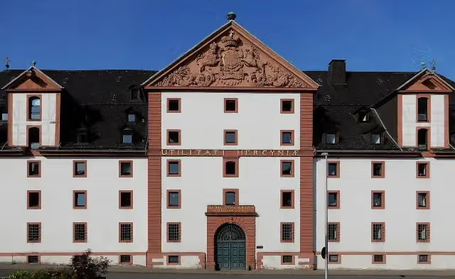
i
Photo: Migebert · Wikimedia Commons · CC BY-SA 4.0View the photo on Wikimedia CommonsAttraction · after 110.9 km
Elevation and terrain
- Up
- ↑ 1,795 m
- Down
- ↓ 1,913 m
- Highest point
- 627 m
- Lowest point
- 17 m
- 5-10% slope · 2.1 km
Elevation from Copernicus GLO-30 (European Union and ESA), smoothed.
produced using Copernicus WorldDEM-30 © DLR e.V. 2010-2014 and © Airbus Defence and Space GmbH 2014-2018 provided under COPERNICUS by the European Union and ESA; all rights reserved
Way types
418 km in total- Track: 120.1 km
- Road: 79.2 km
- Street: 73.6 km
- Path: 61.1 km
- Cycle path: 45.4 km
- Busy road: 25.9 km
- Footpath (walk your bike): 11.6 km
- Unknown: 139 m
Surfaces
418 km in total- Asphalt: 259.1 km
- Gravel: 67.4 km
- Paved: 52.4 km
- Unpaved: 4.7 km
- Natural: 25 m
- Unknown: 33.4 km
About the cycle route Weser-Harz-Heide-Radfernweg
Updated on 14 November 2026, with data from OpenStreetMap, the AHN and Copernicus.
Where do you cycle?
Weser-Harz-Heide-Radfernweg is a cycle route of 418 km that starts in Hann. Münden. It does not end where it starts. Along the way you pass Historisches Rathaus (after 49 m), Rotunde (after 330 m) and Ruine St. Laurentius (after 1.8 km).
How hard is the route?
You climb 1,795 m in total and descend 1,913 m. Allow ± 27:50 h, without breaks. The level is hard.
What roads do you cycle on?
The longest part is track (120.1 km), road (79.2 km) and street (73.6 km). Of the surface, 259.1 km asphalt and 67.4 km gravel. For 33.4 km the surface is not known.
Pitstops along the way
Within 100 metres of the route there are 1,152 benches, 11 water fountains and refill points, 40 public toilets, 3 bike pumps and 3 honesty boxes and farm vending machines. The longest stretch without a toilet is 44.2 km. The Outdoor Pitstop app navigates you there.
Cycle routes nearby
6Sights nearby
Within 10 km of the route, best known first.
- 1
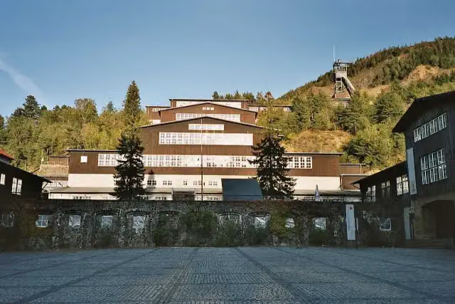 World Heritage Site RammelsbergMuseum · 2.4 km from the route
- 2
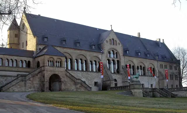 KaiserhausCastle · 964 m from the route
- 3
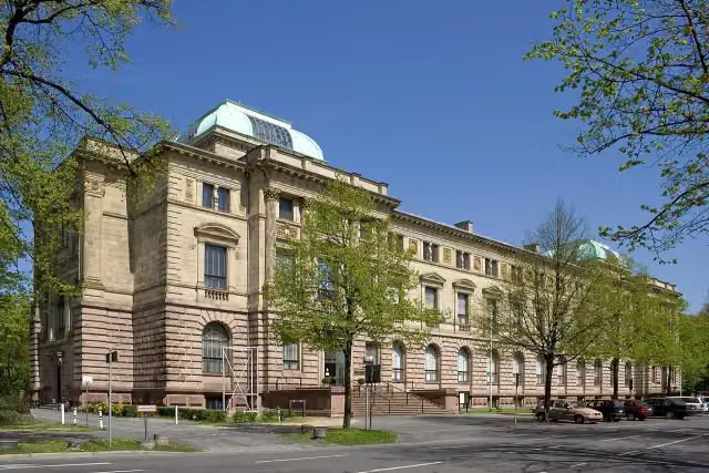 Herzog Anton Ulrich-MuseumMuseum · 270 m from the route
- 4
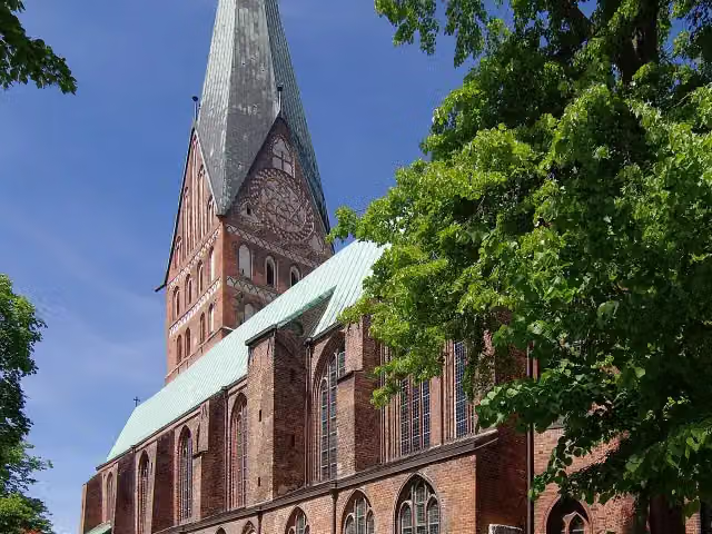 St. John's ChurchAttraction · 101 m from the route
- 5
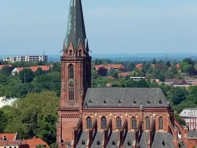 Saint Nicholas ChurchAttraction · 132 m from the route
- 6
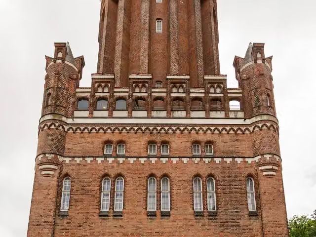 Lüneburg Water TowerAttraction · 158 m from the route
- 7
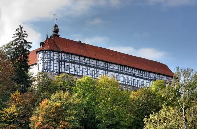 Schloss HerzbergAttraction · 199 m from the route
- 8
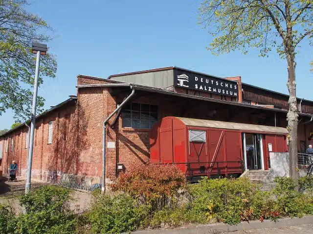 German Salt MuseumMuseum · 550 m from the route
- 9
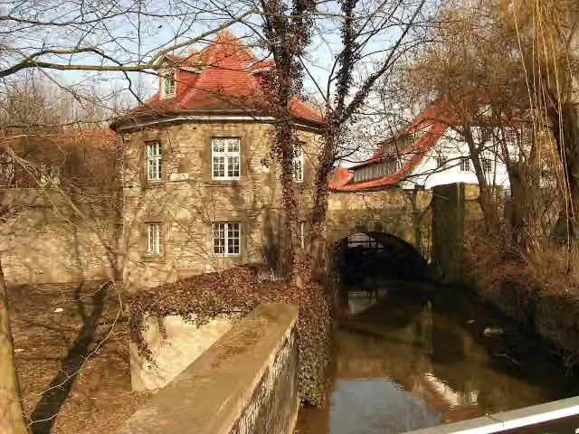 Bismarck CottageAttraction · 713 m from the route
- 10
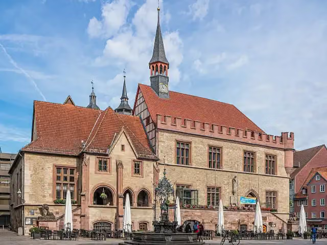 Old Town HallAttraction · 1.1 km from the route
- 11
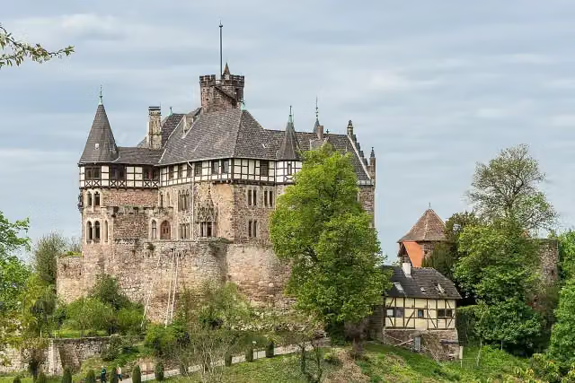 Schloss BerlepschCastle · 9.7 km from the route
- 12
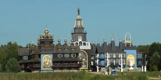 Glocken-Palast - Europäisches Handwerker-InstitutAttraction · 103 m from the route
- 13
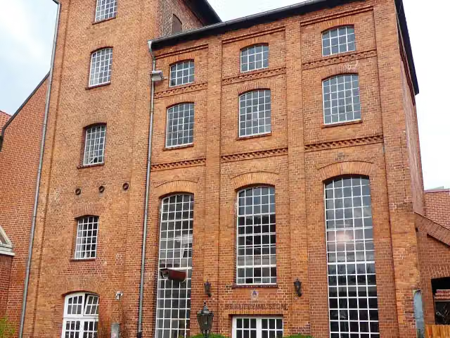 BrauereimuseumMuseum · 114 m from the route
- 14
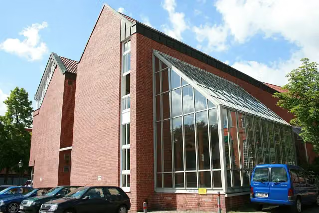 Ostpreußisches Landesmuseum LüneburgMuseum · 115 m from the route
- 15
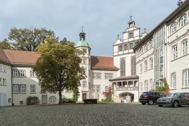 Schloß GifhornCastle · 119 m from the route
- 16
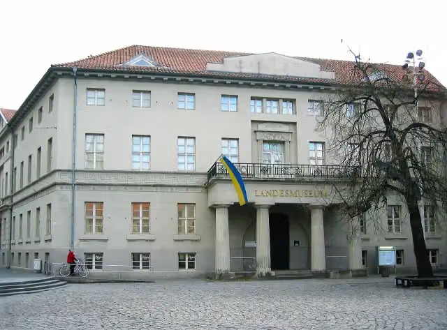 Braunschweigisches LandesmuseumMuseum · 123 m from the route
- 17
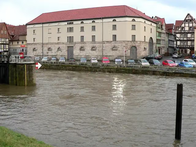 Historischer PackhofAttraction · 128 m from the route
- 18
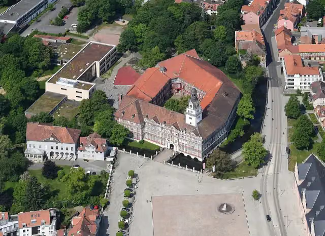 Kleines SchlossCastle · 129 m from the route
- 19
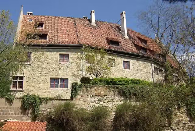 HornburgCastle · 139 m from the route
- 20
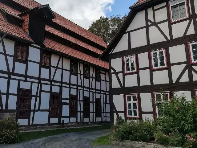 Historische Spinnerei GartetalAttraction · 139 m from the route
- 21
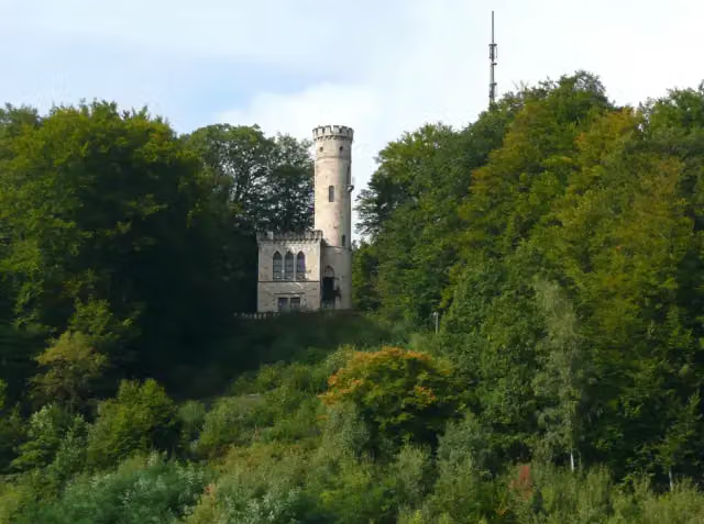 TillyschanzeAttraction · 152 m from the route
- 22
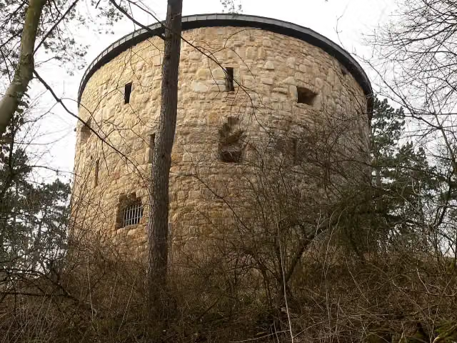 Barockschloss LiebenburgCastle · 163 m from the route
- 23
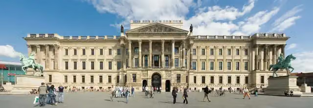 SchlossmuseumMuseum · 164 m from the route
- 24
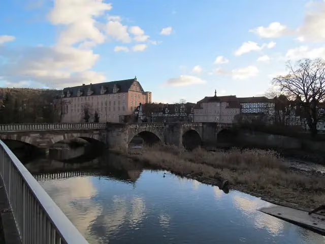 Alte WerrabrückeAttraction · 171 m from the route
- 25
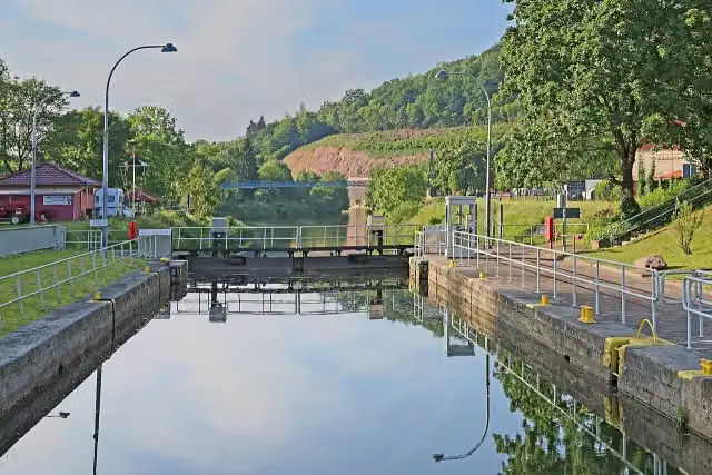 Reste der alten Umschlagstelle Münden an der WeserRuins · 177 m from the route
Explore more
More cycle routes around Hann. Münden
More nearby
Frequently asked questions
How long is Weser-Harz-Heide-Radfernweg?
Weser-Harz-Heide-Radfernweg is 418 km long. Allow ± 27:50 h of riding: 15 km an hour, without breaks.
Is this route a circular ride?
No, the route starts and ends at different spots.
Where does this route start?
The route starts in Hann. Münden.
How hard is this route?
Hard, with 1,795 m of climbing.
Are there toilets along this route?
Yes, there are 40 public toilets within 100 m of the route. The longest stretch without a toilet is 44.2 km.
Can you fill up with water along this route?
Yes, there are 11 water fountains and refill points within 100 m of the route.
What is there to see along this route?
Along the way you pass Historisches Rathaus, Rotunde and Ruine St. Laurentius.
Can I download this route as a GPX file?
Yes. Sign in with your Outdoor Pitstop account and choose Download GPX at the top of this page: 10 routes a month for free, unlimited with Pro.
Starting point
More routes from this place
Route data © OpenStreetMap contributors





