 Outdoor Pitstop
Cycle route · Gersfeld (Rhön) · Updated on 14 November 2026
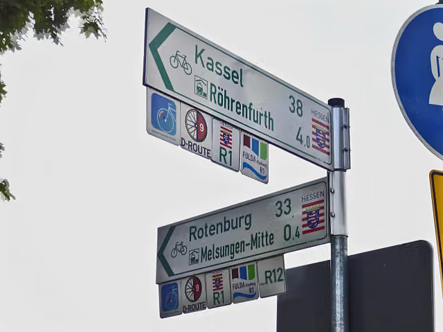
Fulda-Radweg cycle route
Fulda-Radweg is a cycle route of 248.7 km from Gersfeld (Rhön). Along the way you'll find 592 benches, 6 water fountains and refill points, 15 public toilets, 8 bike pumps and 3 honesty boxes and farm vending machines.
i
i
i
The route step by step
From start to finish, with what you pass along the way and the distance in between.
- 248.7 km
- ± 16:35 h
- ↑ 450 m · ↓ 1,194 m
- Hard
- From A to B
- Regional route
Start in Gersfeld (Rhön)
0 km6.7 km · 13 benches
Public toilet
6.7 km27.9 km · 40 benches
Public toilet
34.6 km892 m · 36 benches

Deutsches Feuerwehr-Museum
35.5 kmBike pump
832 m · 14 benches
Public toilet
36.4 km151 m · 7 benches
Bike pump
36.5 km199 m · 8 benches
Public toilet
36.7 km15 km · 27 benches
Public toilet
51.7 km29 km · 25 benches
Public toilet
80.8 km1.7 km · bench
Schloss Eichhof
82.5 kmCastle
28.9 km · 15 benches
Public toilet
111.4 km955 m · 2 benches
Landgräfliches Schloss
112.3 kmCastle
819 m · 20 benches
2 water fountains and refill points
113.2 km25.2 km · 36 benches
Honesty box
138.4 km4.9 km · 5 benches
Public toilet, water point and 2 bike pumps
143.3 km186 m · 7 benches
Water point
143.5 km179 m · 5 benches
Public toilet
143.7 km10.9 km · 10 benches
Honesty box
154.6 km21.8 km · 52 benches
Public toilet
176.3 km1.5 km · 10 benches
Bike pump
177.9 km903 m · 7 benches
Water point
178.8 km415 m · 4 benches
Bike pump
179.2 km11.2 km · 40 benches
Bike pump
190.4 km3.7 km · 5 benches
Water point
194.1 km6 km · 12 benches
Public toilet
200.1 km7.5 km · 23 benches
Ruine St. Laurentius
207.5 kmAttraction
21.3 km · 55 benches
Public toilet
228.9 km5.1 km · 38 benches
Burg Gieselwerder
234 kmPublic toilet
3.6 km · 13 benches
Honesty box
237.6 km10.5 km · 15 benches
Public toilet
248.1 km
Show the other 1 steps
696 m · 47 benches
Finish
248.7 kmAt the finish: Deutsches Hugenotten-Museum, Landgraf-Carl-Denkmal, public toilet and bike pump.
Longest stretch without a toilet: 32.7 kmBetween 143.7 km and 176.3 km there is no public toilet within 100 m of the route.
The route with the pitstops and sights within 100 m of it.
7 sights along the way
In the order you pass them. With the Outdoor Pitstop app you hear their story on the spot.
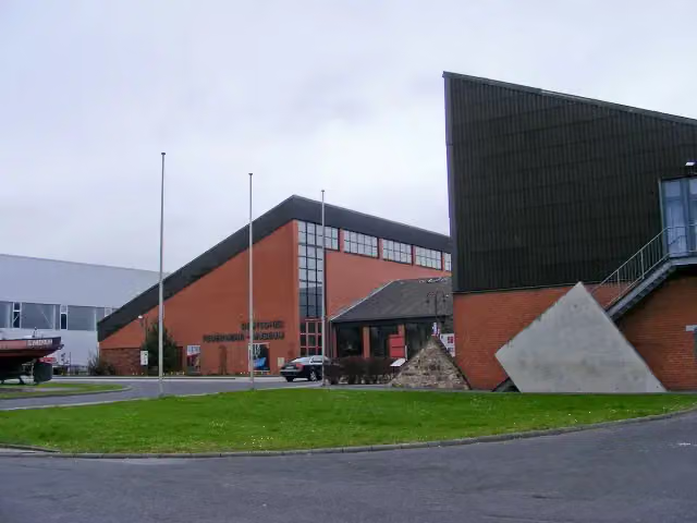
Museum · after 35.6 km

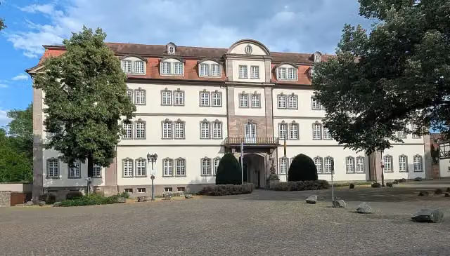
Castle · after 82.5 km
i
Photo: Gerd Eichmann · Wikimedia Commons · CC BY 4.0View the photo on Wikimedia CommonsCastle · after 112.3 km
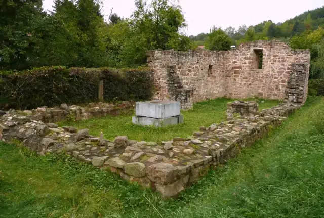
Attraction · after 207.5 km
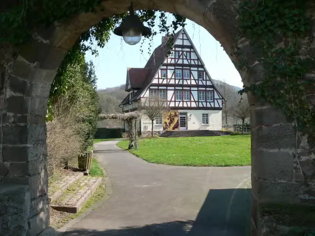
i
Photo: Presse03 · Wikimedia Commons · CC BY 2.5View the photo on Wikimedia CommonsArchaeological site · after 234 km
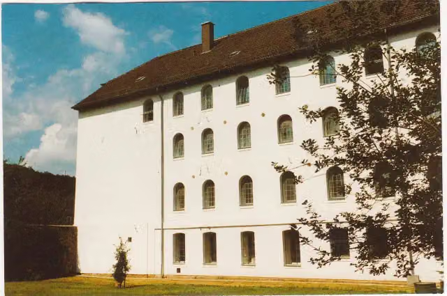
i
Photo: Verein Deutsches Hugenotten - Museum e.V. Bad Karlshafen · Wikimedia Commons · CC BY-SA 3.0 deView the photo on Wikimedia CommonsMuseum · after 248.7 km

i
Photo: GFreihalter · Wikimedia Commons · CC BY-SA 4.0View the photo on Wikimedia CommonsMemorial · after 248.7 km
Elevation and terrain
- Up
- ↑ 450 m
- Down
- ↓ 1,194 m
- Highest point
- 845 m
- Lowest point
- 103 m
- 5-10% slope · 3.7 km
Elevation from Copernicus GLO-30 (European Union and ESA), smoothed.
produced using Copernicus WorldDEM-30 © DLR e.V. 2010-2014 and © Airbus Defence and Space GmbH 2014-2018 provided under COPERNICUS by the European Union and ESA; all rights reserved
Way types
248.7 km in total- Track: 110 km
- Path: 46.7 km
- Road: 33.8 km
- Cycle path: 25.6 km
- Street: 25.1 km
- Footpath (walk your bike): 4.1 km
- Busy road: 2.9 km
Surfaces
248.7 km in total- Asphalt: 226.2 km
- Paved: 15.6 km
- Gravel: 4.8 km
- Unknown: 1.5 km
About the cycle route Fulda-Radweg
Updated on 14 November 2026, with data from OpenStreetMap, the AHN and Copernicus.
Where do you cycle?
Fulda-Radweg is a cycle route of 248.7 km that starts in Gersfeld (Rhön). It does not end where it starts. Along the way you pass Deutsches Feuerwehr-Museum (after 35.6 km), Schloss Eichhof (after 82.5 km) and Landgräfliches Schloss (after 112.3 km).
How hard is the route?
You climb 450 m in total and descend 1,194 m. Allow ± 16:35 h, without breaks. The level is hard.
What roads do you cycle on?
The longest part is track (110 km), path (46.7 km) and road (33.8 km). Of the surface, 226.2 km asphalt and 15.6 km paved. For 1.5 km the surface is not known.
Pitstops along the way
Within 100 metres of the route there are 592 benches, 6 water fountains and refill points, 15 public toilets, 8 bike pumps and 3 honesty boxes and farm vending machines. You can fill your bottle after 113.2 km, after 113.3 km, after 143.4 km, after 143.5 km, after 178.8 km and after 194.1 km. The longest stretch without a toilet is 32.7 km. The Outdoor Pitstop app navigates you there.
The Fulda-Radweg, also called Hessian long-distance cycle route R1, is a long-distance cycle route of about 249 km along the Fulda, from Gersfeld in the Rhön to Hann. Münden, where the Fulda and Werra join to form the Weser, and on to Bad Karlshafen. You ride through Fulda, Bad Hersfeld, Rotenburg an der Fulda, Melsungen and Kassel with its Karlsaue park. The German Huguenot Museum stands in Bad Karlshafen. Nearly all of it is asphalt. We know of 15 toilets, 8 bike pumps and 6 drinking water points along the route.
Source: Wikipedia (CC BY-SA)
Cycle routes nearby
6Sights nearby
Within 10 km of the route, best known first.
- 1
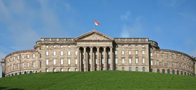 Wilhelmshöhe PalaceAttraction · 5.9 km from the route
- 2
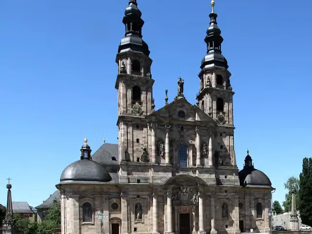 Dom St. SalvatorAttraction · 370 m from the route
- 3
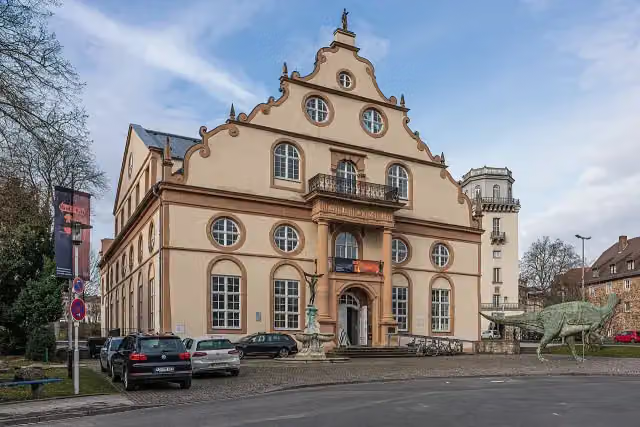 NaturkundemuseumMuseum · 314 m from the route
- 4
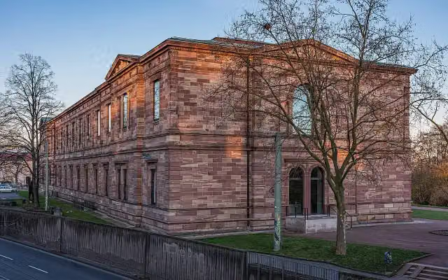 New GalleryMuseum · 647 m from the route
- 5
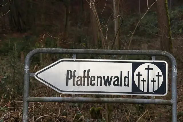 Kulturdenkmal Lager PfaffenwaldMemorial · 2.8 km from the route
- 6
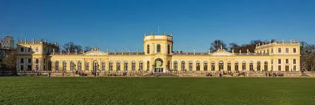 OrangerieAttraction · 131 m from the route
- 7
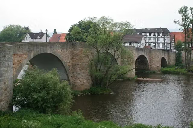 BartenwetzerbrückeAttraction · 133 m from the route
- 8
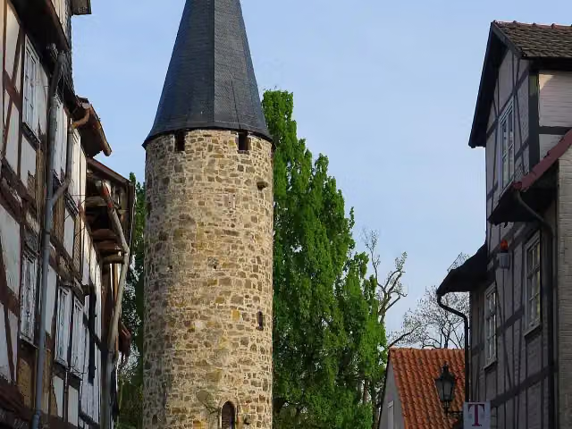 EulenturmAttraction · 161 m from the route
- 9
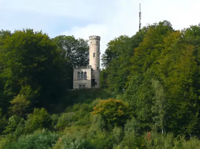 TillyschanzeAttraction · 178 m from the route
- 10
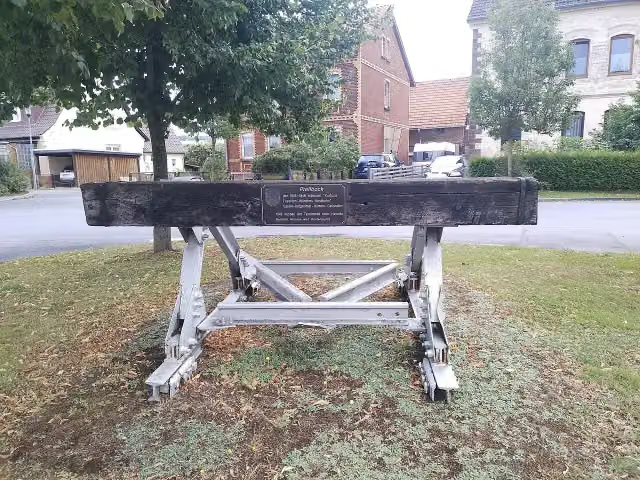 DampflokachseMemorial · 208 m from the route
- 11
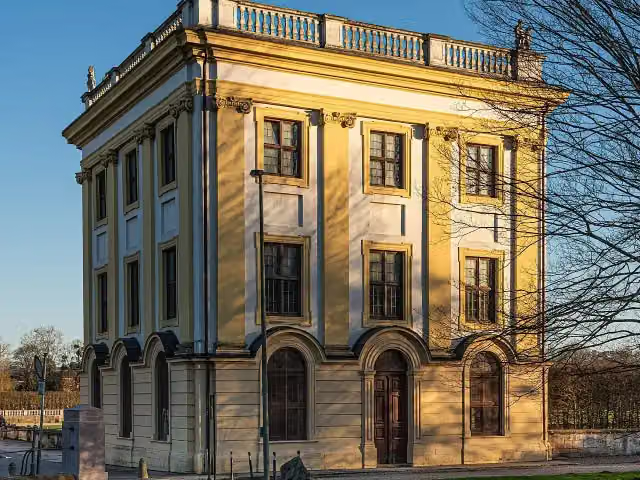 MarmorbadMuseum · 220 m from the route
- 12
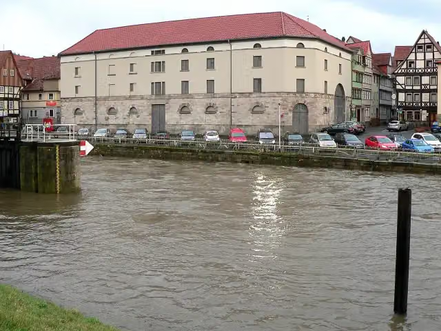 Historischer PackhofAttraction · 295 m from the route
- 13
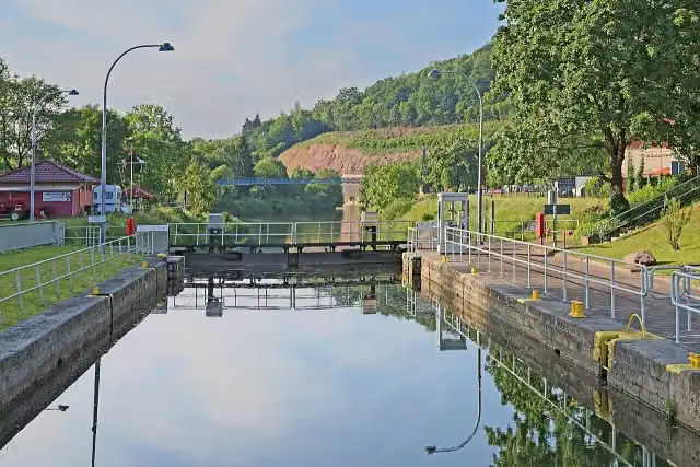 Reste der alten Umschlagstelle Münden an der WeserRuins · 296 m from the route
- 14
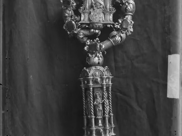 DommuseumMuseum · 301 m from the route
- 15
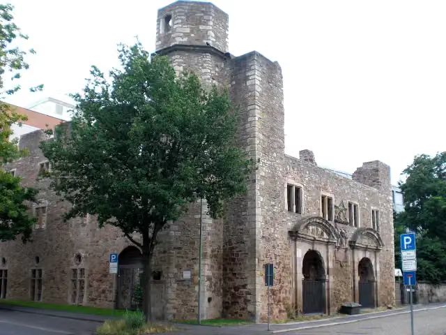 ZeughausruineRuins · 305 m from the route
- 16
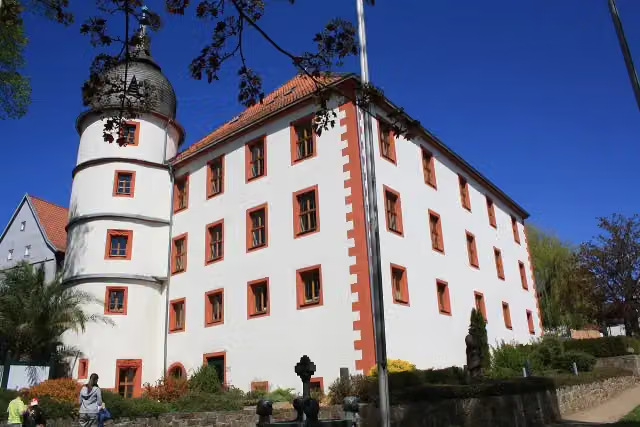 Eichenzeller SchlösschenCastle · 328 m from the route
- 17
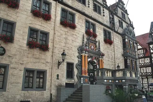 Historisches RathausAttraction · 341 m from the route
- 18
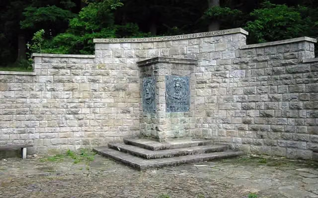 WeserliedanlageAttraction · 341 m from the route
- 19
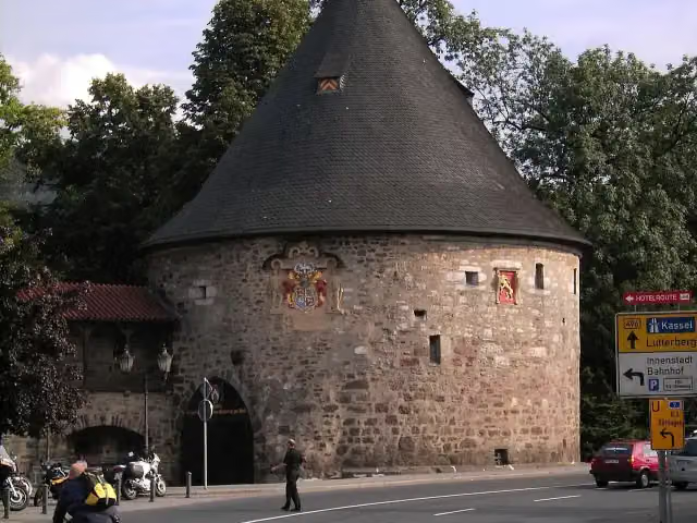 RotundeAttraction · 384 m from the route
- 20
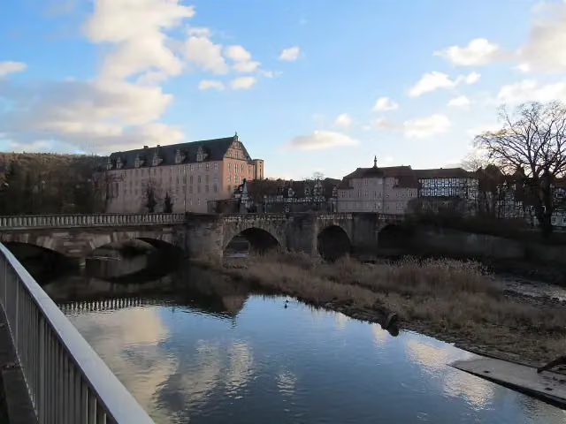 Alte WerrabrückeAttraction · 414 m from the route
- 21
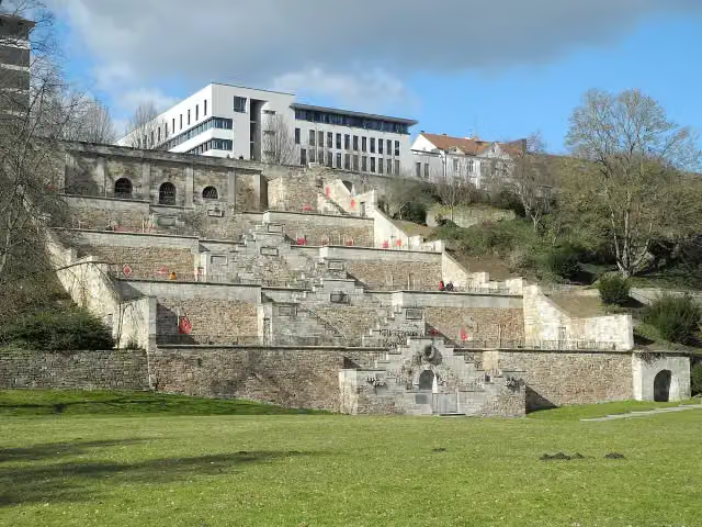 Mahnmal KarlsaueMemorial · 421 m from the route
- 22
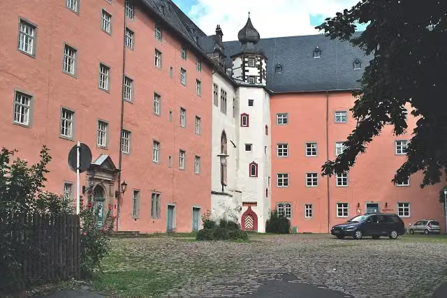 WelfenschlossAttraction · 548 m from the route
- 23
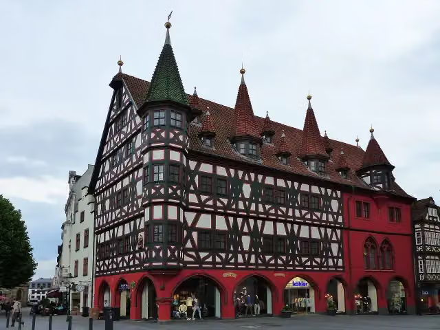 Altes RathausAttraction · 554 m from the route
- 24
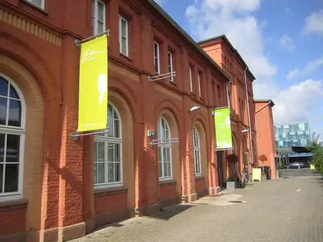 Spohr MuseumMuseum · 593 m from the route
- 25
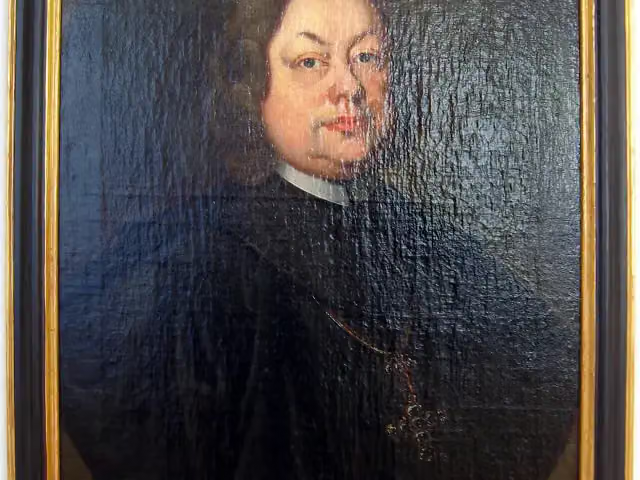 Vonderau MuseumMuseum · 632 m from the route
Explore more
More cycle routes around Gersfeld (Rhön)
Frequently asked questions
How long is Fulda-Radweg?
Fulda-Radweg is 248.7 km long. Allow ± 16:35 h of riding: 15 km an hour, without breaks.
Is this route a circular ride?
No, the route starts and ends at different spots.
Where does this route start?
The route starts in Gersfeld (Rhön).
How hard is this route?
Hard, with 450 m of climbing.
Are there toilets along this route?
Yes, there are 15 public toilets within 100 m of the route. The longest stretch without a toilet is 32.7 km.
Can you fill up with water along this route?
Yes, there are 6 water fountains and refill points within 100 m of the route.
What is there to see along this route?
Along the way you pass Deutsches Feuerwehr-Museum, Schloss Eichhof and Landgräfliches Schloss.
Can I download this route as a GPX file?
Yes. Sign in with your Outdoor Pitstop account and choose Download GPX at the top of this page: 10 routes a month for free, unlimited with Pro.
Starting point
More routes from this place
Route data © OpenStreetMap contributors





