 Outdoor Pitstop
Cycle route · Neuhaus am Rennweg · Updated on 14 November 2026
Werratal-Radweg cycle route
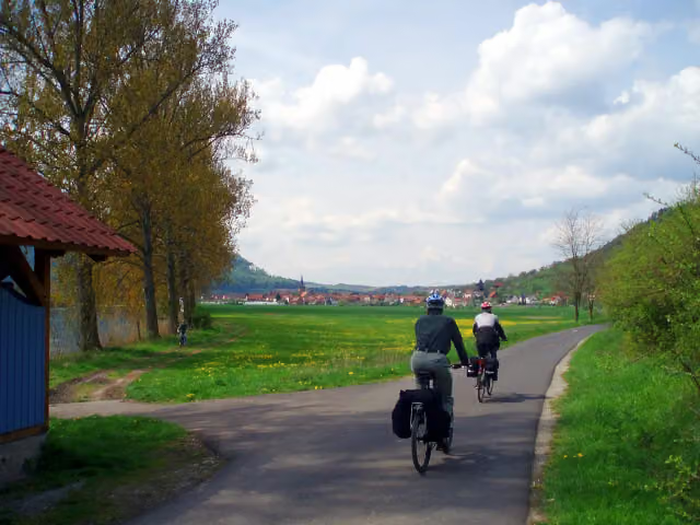
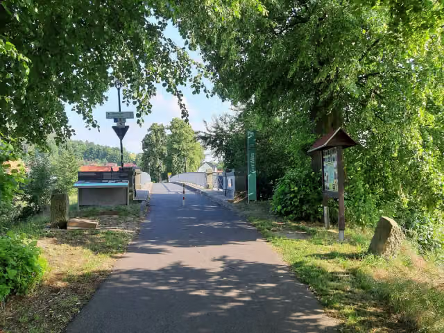
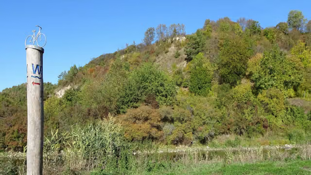
Werratal-Radweg is a cycle route of 308.2 km from Neuhaus am Rennweg. Along the way you'll find 620 benches, 11 water fountains and refill points, 17 public toilets, 2 bike pumps and 1 honesty box.
i
i
i
The route step by step
From start to finish, with what you pass along the way and the distance in between.
- 308.2 km
- ± 20:35 h
- ↑ 827 m · ↓ 1,528 m
- Hard
- From A to B
- Regional route
Start in Neuhaus am Rennweg
0 kmAt the start: public toilet.
12.1 km · 7 benches

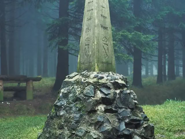
Dreistromstein
12.1 kmMemorial
18.5 km · 10 benches
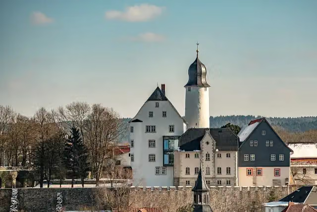
Eisfelder Schloss and 1 more
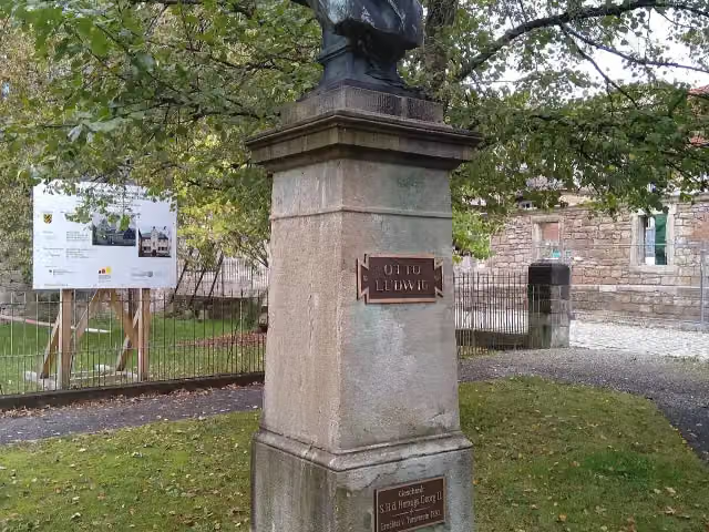
30.6 kmOtto Ludwig
16.9 km · 22 benches
Public toilet
47.5 km13.3 km · 4 benches
Public toilet
60.8 km3.3 km · 9 benches
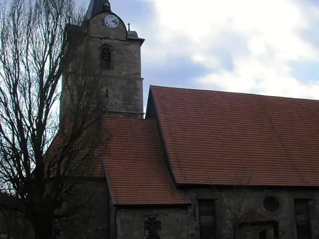
St.-Bartholomäus-Kirche
64.1 kmAttraction
13.9 km · 10 benches
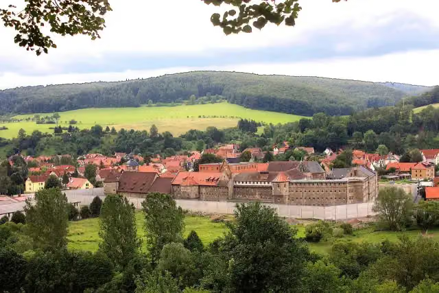
Kirchenburg Einhausen
78 kmCastle
4 km · 2 benches
Schloss Untermaßfeld
82 kmCastle
3.7 km · 7 benches
Water point
85.7 km1.1 km · 2 benches
Bogenbrücke and 1 more
86.8 kmOtto Ludwig
5.9 km · 10 benches
Kirchenburg Walldorf
92.6 kmPublic toilet and 2 water fountains and refill points
17.8 km · 16 benches
Gefallenendenkmal
110.5 kmWater point
13.1 km · 16 benches
Schloss Wilhelmsburg and 1 more
123.5 kmSteinsches Schloss
19.6 km · 31 benches
Bike pump
143.1 km7.5 km · 14 benches
Schloss Philippsthal
150.6 kmCastle
10.7 km · 29 benches
Kalibergbau-Museum
161.3 kmPublic toilet
7.3 km · 21 benches
Gefallenendenkmal
168.6 kmMemorial
7.8 km · 23 benches
Water point
176.4 km6.9 km · 11 benches
Water point
183.3 km4.9 km · 8 benches
Public toilet
188.2 km5.6 km · 18 benches
Gefallenendenkmal
193.8 kmMemorial
1.7 km · 12 benches
Water point
195.5 km230 m · 11 benches
Public toilet, water point and bike pump
195.7 km6.5 km · 5 benches
Werrabrücke Creuzburg
202.2 kmAttraction
14.6 km · 26 benches
Gefallenendenkmal I. und II. WK
216.8 kmMemorial
2.3 km · 4 benches
2 public toilets and 3 water fountains and refill points
219.1 km6.9 km · 15 benches
Rathaus and 1 more
226.1 kmHeimatmuseum Treffurt and public toilet
10.5 km · 43 benches
Public toilet
236.6 km1.1 km · 4 benches
Schloss Wanfried
237.7 kmCastle
1 km · 3 benches
Pestlinde
238.8 kmMemorial
Show the other 13 steps
9 km · 43 benches
Public toilet
247.8 km6 km · 20 benches
Schloss Jestädt
253.7 kmCastle
9.8 km · 28 benches
Honesty box
263.5 km4.4 km · 14 benches
Public toilet
268 km810 m · 9 benches
Brunnen vor dem Tore
268.8 kmAttraction
3.2 km · 19 benches
Public toilet
272 km588 m · bench
Public toilet
272.6 km4.5 km · 7 benches
Public toilet
277 km11.4 km · 23 benches
Tropengewächshaus
288.5 kmAttraction
366 m · 3 benches
Völkerkundliches Museum
288.8 kmMuseum
348 m · 3 benches
Public toilet
289.2 km18.8 km · 40 benches
Welfenschloss
308 kmAttraction
159 m · 15 benches
Finish
308.2 kmAt the finish: Alte Werrabrücke.
Longest stretch without a toilet: 68.7 kmBetween 92.6 km and 161.3 km there is no public toilet within 100 m of the route.
The route with the pitstops and sights within 100 m of it.
28 sights along the way
In the order you pass them. With the Outdoor Pitstop app you hear their story on the spot. 20 more along the route are on the map.
i
Photo: Kreuzschnabel · Wikimedia Commons · CC BY-SA 3.0View the photo on Wikimedia CommonsMemorial · after 12.1 km
i
Photo: Tilman2007 · Wikimedia Commons · CC BY-SA 4.0View the photo on Wikimedia CommonsCastle · after 30.6 km
i
Photo: Giorno2 · Wikimedia Commons · CC BY 4.0View the photo on Wikimedia CommonsMemorial · after 30.6 km
i
Photo: Michael Sander · Wikimedia Commons · CC BY-SA 3.0View the photo on Wikimedia CommonsAttraction · after 64.1 km

Castle · after 78 km
i
Photo: Winfried Gaenssler · Wikimedia Commons · CC BY-SA 3.0View the photo on Wikimedia CommonsCastle · after 82 km
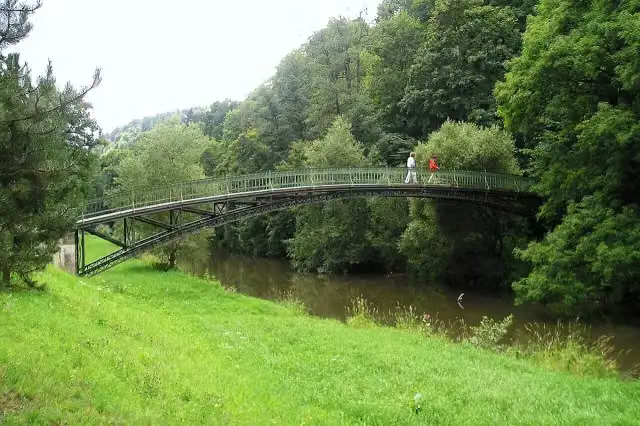
i
Photo: Kramer96 · Wikimedia Commons · CC BY 3.0View the photo on Wikimedia CommonsAttraction · after 86.8 km
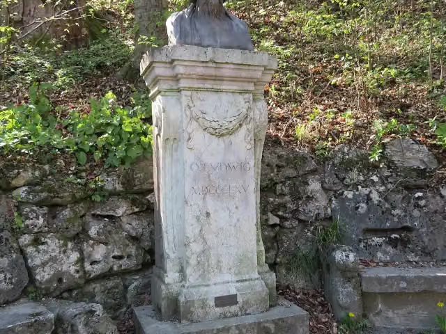
Memorial · after 86.8 km
Elevation and terrain
- Up
- ↑ 827 m
- Down
- ↓ 1,528 m
- Highest point
- 848 m
- Lowest point
- 129 m
Nowhere steeper than 5%.
Elevation from Copernicus GLO-30 (European Union and ESA), smoothed.
produced using Copernicus WorldDEM-30 © DLR e.V. 2010-2014 and © Airbus Defence and Space GmbH 2014-2018 provided under COPERNICUS by the European Union and ESA; all rights reserved
Way types
308.2 km in total- Track: 90.9 km
- Street: 63.5 km
- Path: 54.1 km
- Road: 53.6 km
- Cycle path: 30 km
- Busy road: 13.3 km
- Footpath (walk your bike): 2.1 km
- Unknown: 25 m
Surfaces
308.2 km in total- Asphalt: 235.5 km
- Gravel: 40 km
- Paved: 23.3 km
- Unpaved: 525 m
- Natural: 475 m
- Unknown: 7.7 km
About the cycle route Werratal-Radweg
Updated on 14 November 2026, with data from OpenStreetMap, the AHN and Copernicus.
Where do you cycle?
Werratal-Radweg is a cycle route of 308.2 km that starts in Neuhaus am Rennweg. It does not end where it starts. You start in Neuhaus am Rennweg and finish in Hann. Münden. Along the way you pass Dreistromstein (after 12.1 km), Eisfelder Schloss (after 30.6 km) and Otto Ludwig (after 30.6 km).
How hard is the route?
You climb 827 m in total and descend 1,528 m. Allow ± 20:35 h, without breaks. The level is hard.
What roads do you cycle on?
The longest part is track (90.9 km), street (63.5 km) and path (54.1 km). Of the surface, 235.5 km asphalt and 40 km gravel. For 7.7 km the surface is not known.
Pitstops along the way
Within 100 metres of the route there are 620 benches, 11 water fountains and refill points, 17 public toilets, 2 bike pumps and 1 honesty box. The longest stretch without a toilet is 68.7 km. The Outdoor Pitstop app navigates you there.
The Werratal-Radweg is a 308 km cycle route along the Werra through Thuringia, Hesse and Lower Saxony, from Neuhaus am Rennweg to Hann. Münden, where the Werra and Fulda join to form the Weser. It runs via Eisfeld, Hildburghausen, Themar, Meiningen, Wasungen, Gerstungen and Herleshausen; in Hesse it is called the Werra-Radweg. On the way are Philippsthal Castle and the potash mining museum. About three quarters is asphalt. We know of 17 toilets and 11 drinking water points.
Source: Wikipedia (CC BY-SA)
Cycle routes nearby
3Sights nearby
Within 10 km of the route, best known first.
- 1
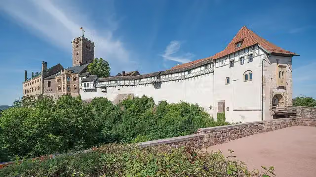 WartburgAttraction · 7 km from the route
- 2
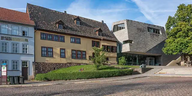 Bachhaus EisenachMuseum · 7.6 km from the route
- 3
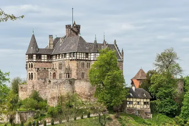 Schloss BerlepschCastle · 3 km from the route
- 4
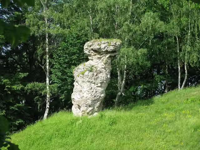 TodtsteinViewpoint · 3.2 km from the route
- 5
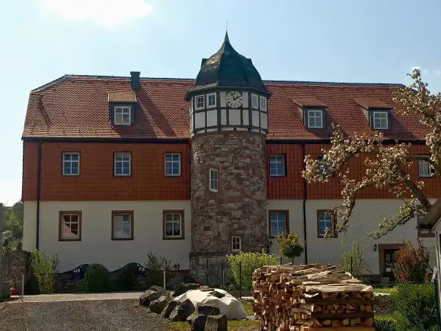 Castle ButtlarAttraction · 10 km from the route
- 6
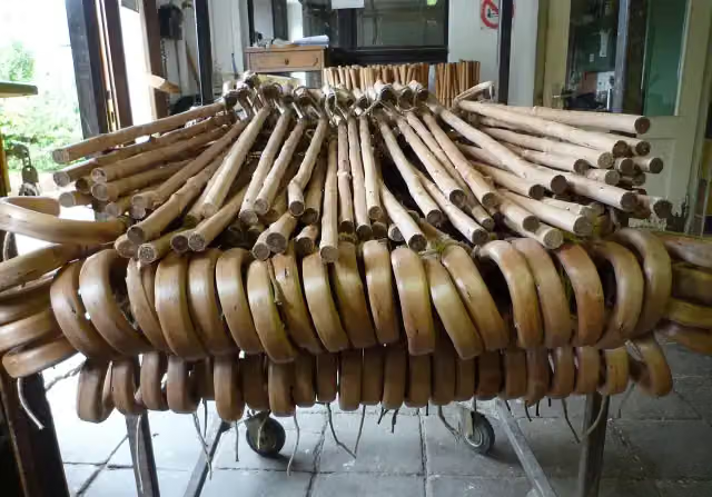 StockmachermuseumMuseum · 89 m from the route
- 7
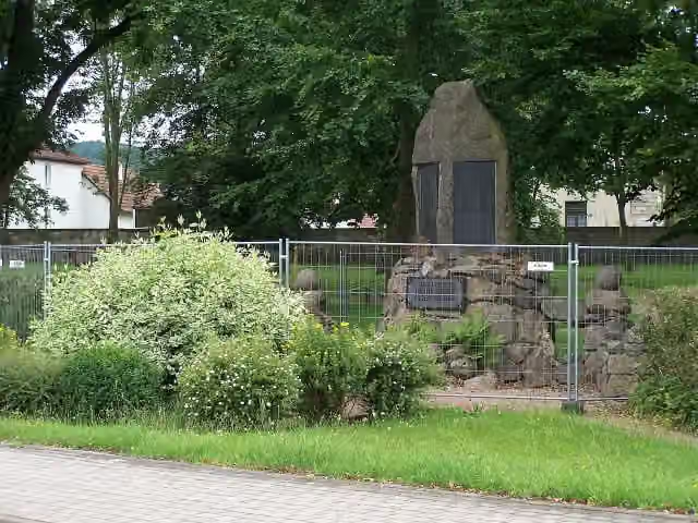 MemorialMemorial · 93 m from the route
- 8
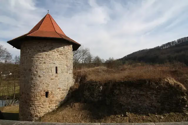 Burgruine ReuriethCastle · 103 m from the route
- 9
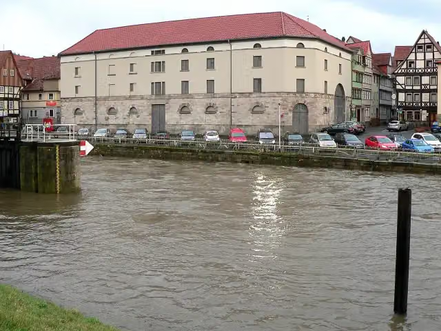 Historischer PackhofAttraction · 104 m from the route
- 10
 Meininger MuseenMuseum · 112 m from the route
- 11
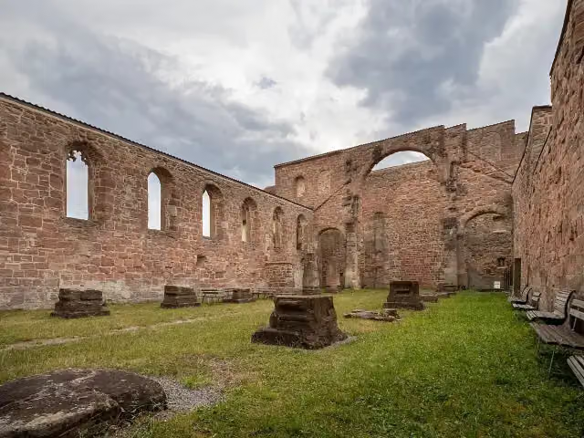 Klosterkirche St. MarienRuins · 117 m from the route
- 12
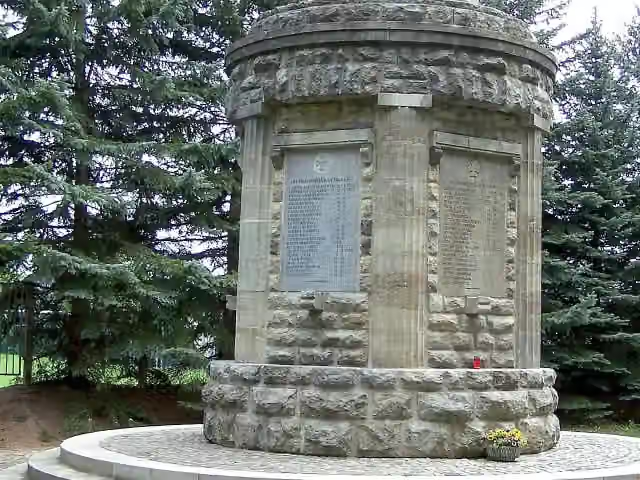 MemorialMemorial · 126 m from the route
- 13
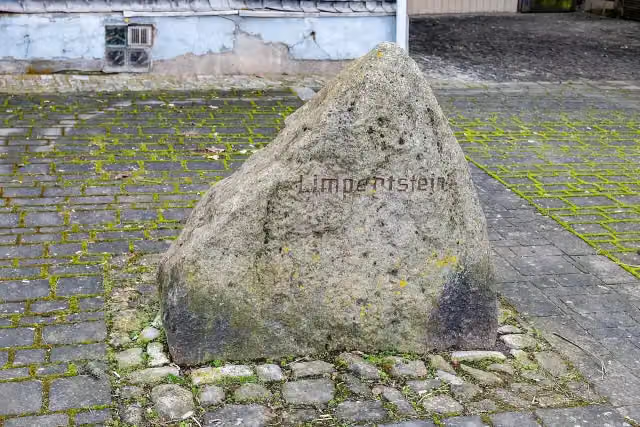 LimpertsteinMemorial · 127 m from the route
- 14
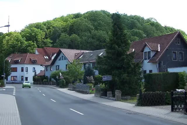 Burg FrankensteinCastle · 131 m from the route
- 15
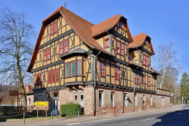 Keudellsches SchlossCastle · 137 m from the route
- 16
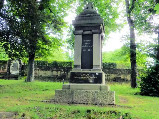 I. und II. WeltkriegMemorial · 141 m from the route
- 17
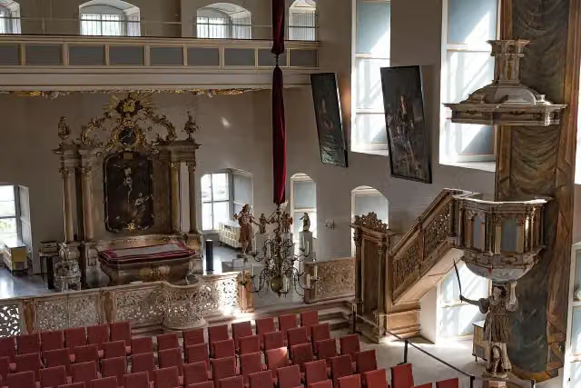 SchlosskircheAttraction · 144 m from the route
- 18
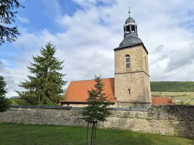 Kirchenburg BelriethCastle · 146 m from the route
- 19
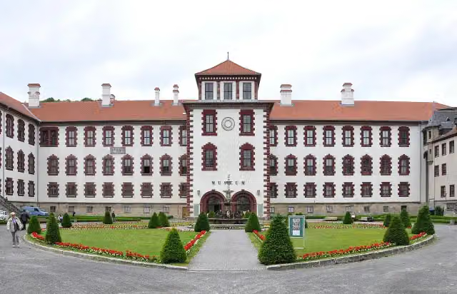 CastleCastle · 154 m from the route
- 20
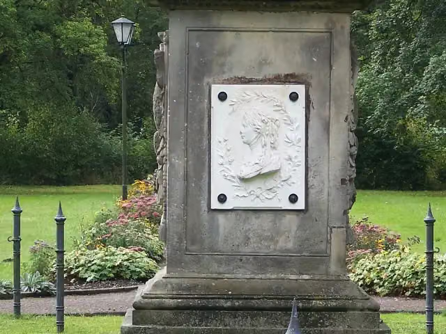 MemorialMemorial · 158 m from the route
- 21
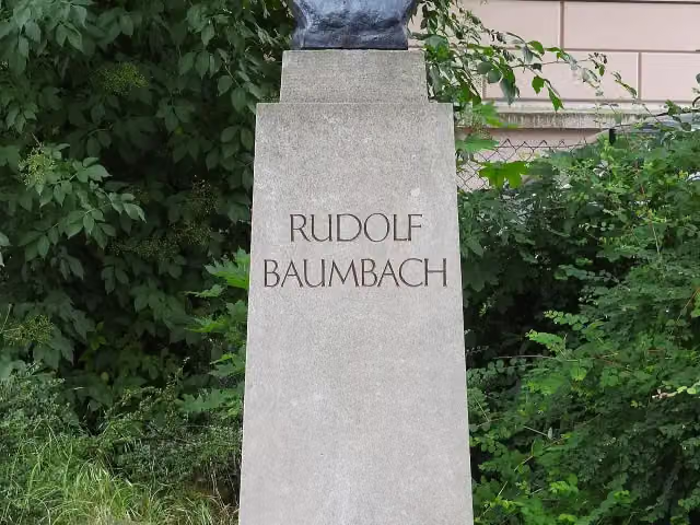 Rudolf BaumbachMemorial · 160 m from the route
- 22
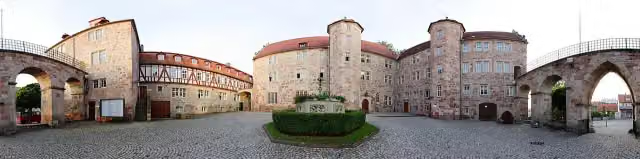 AttractionAttraction · 167 m from the route
- 23
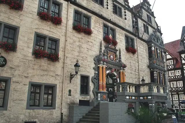 Historisches RathausAttraction · 174 m from the route
- 24
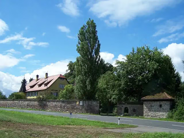 Burgruine TodenwarthCastle · 175 m from the route
- 25
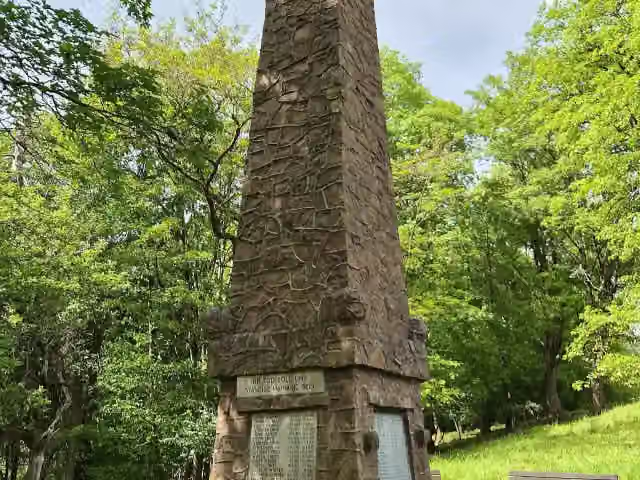 MemorialMemorial · 183 m from the route
Explore more
More cycle routes around Neuhaus am Rennweg
Frequently asked questions
How long is Werratal-Radweg?
Werratal-Radweg is 308.2 km long. Allow ± 20:35 h of riding: 15 km an hour, without breaks.
Is this route a circular ride?
No, the route runs from Neuhaus am Rennweg to Hann. Münden.
Where does this route start?
The route starts in Neuhaus am Rennweg.
How hard is this route?
Hard, with 827 m of climbing.
Are there toilets along this route?
Yes, there are 17 public toilets within 100 m of the route. The longest stretch without a toilet is 68.7 km.
Can you fill up with water along this route?
Yes, there are 11 water fountains and refill points within 100 m of the route.
What is there to see along this route?
Along the way you pass Dreistromstein, Eisfelder Schloss and Otto Ludwig.
Can I download this route as a GPX file?
Yes. Sign in with your Outdoor Pitstop account and choose Download GPX at the top of this page: 10 routes a month for free, unlimited with Pro.
Starting point
More routes from this place
Route data © OpenStreetMap contributors





