 Outdoor Pitstop
Cycle route · Cuxhaven · Updated on 14 November 2026
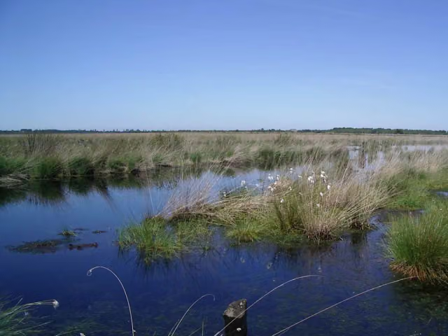
Vom Teufelsmoor zum Wattenmeer cycle route
Vom Teufelsmoor zum Wattenmeer is a cycle route of 80.2 km from Cuxhaven. Along the way you'll find 121 benches, 1 water point and 83 public toilets.
i
i
The route step by step
From start to finish, with what you pass along the way and the distance in between.
- 80.2 km
- ± 5:20 h
- ↑ 101 m · ↓ 99 m
- Hard
- From A to B
- Regional route
Start in Cuxhaven
0 kmAt the start: public toilet.
16.4 km · 10 benches

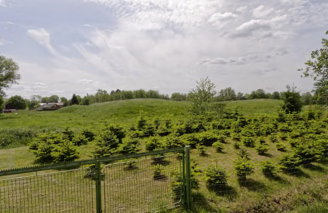
St. Jacobi "Bauerndom"
16.4 kmAttraction
16.7 km · 8 benches
Public toilet
33.1 km15.9 km · 46 benches
Museum Burg Bederkesa and 1 more
49 kmBurg Bederkesa and 2 public toilets
28.7 km · 26 benches
Public toilet
77.7 km283 m · 2 benches
Schulschiff Deutschland and 1 more
77.9 kmWelle
191 m
Deutsches Auswandererhaus
78.1 kmWater point
272 m · bench
Klimahaus Bremerhaven
78.4 kmMuseum
196 m
Helmut and 1 more
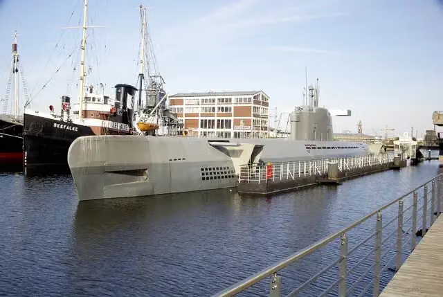
78.6 kmU-Boot Wilhelm Bauer and public toilet
180 m
Emma and 4 more
78.8 kmSeefalke, Deutsches Schifffahrtsmuseum, Elbe 3 and DIVA
222 m · 4 benches
Altes Unterfeuer Sandstedt and 1 more
79 kmRadarturm and public toilet
175 m · bench
19 public toilets
79.2 km159 m · bench
9 public toilets
79.3 km156 m · 6 benches
Wencke-Dock
79.5 km47 public toilets
304 m · 13 benches
Busse-Denkmal and 1 more
79.8 kmHistorisches Museum Bremerhaven and public toilet
433 m · bench
Finish
80.2 km
Longest stretch without a toilet: 33.1 kmBetween 0 km and 33.1 km there is no public toilet within 100 m of the route.
The route with the pitstops and sights within 100 m of it.
19 sights along the way
In the order you pass them. With the Outdoor Pitstop app you hear their story on the spot. 11 more along the route are on the map.

Attraction · after 16.4 km
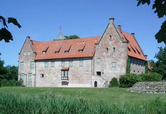
Museum · after 49.1 km
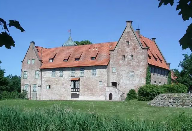
Castle · after 49.1 km
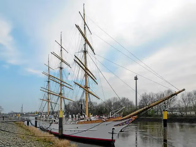
i
Photo: Dr. Bernd Gross Derivative work MagentaGreen · Wikimedia Commons · CC BY-SA 3.0View the photo on Wikimedia CommonsAttraction · after 77.9 km
Attraction · after 78 km
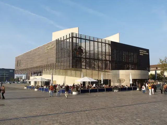
i
Photo: PhilippN · Wikimedia Commons · CC BY-SA 3.0View the photo on Wikimedia CommonsMuseum · after 78.1 km

i
Photo: Corradox · Wikimedia Commons · CC BY-SA 4.0View the photo on Wikimedia CommonsMuseum · after 78.4 km
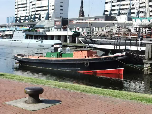
i
Photo: Mueck (talk) · Wikimedia Commons · CC BY-SA 3.0View the photo on Wikimedia CommonsAttraction · after 78.7 km
Elevation and terrain
- Up
- ↑ 101 m
- Down
- ↓ 99 m
- Highest point
- 32 m
- Lowest point
- -1 m
Nowhere steeper than 5%.
Elevation from Copernicus GLO-30 (European Union and ESA), smoothed.
produced using Copernicus WorldDEM-30 © DLR e.V. 2010-2014 and © Airbus Defence and Space GmbH 2014-2018 provided under COPERNICUS by the European Union and ESA; all rights reserved
Way types
80.2 km in total- Track: 27.1 km
- Road: 27.1 km
- Path: 15.8 km
- Street: 7.6 km
- Footpath (walk your bike): 1.5 km
- Busy road: 1 km
Surfaces
80.2 km in total- Asphalt: 38.8 km
- Gravel: 14.8 km
- Paved: 14.5 km
- Unpaved: 2.9 km
- Natural: 725 m
- Unknown: 8.3 km
About the cycle route Vom Teufelsmoor zum Wattenmeer
Updated on 14 November 2026, with data from OpenStreetMap, the AHN and Copernicus.
Where do you cycle?
Vom Teufelsmoor zum Wattenmeer is a cycle route of 80.2 km that starts in Cuxhaven. It does not end where it starts. You start in Cuxhaven and finish in Bremerhaven. Along the way you pass St. Jacobi "Bauerndom" (after 16.4 km), Museum Burg Bederkesa (after 49.1 km) and Burg Bederkesa (after 49.1 km).
How hard is the route?
You climb 101 m in total and descend 99 m. Allow ± 5:20 h, without breaks. The level is hard.
What roads do you cycle on?
The longest part is track (27.1 km), road (27.1 km) and path (15.8 km). Of the surface, 38.8 km asphalt and 14.8 km gravel. For 8.3 km the surface is not known.
Pitstops along the way
Within 100 metres of the route there are 121 benches, 1 water point and 83 public toilets. You can fill your bottle after 78.3 km. The longest stretch without a toilet is 33.1 km. The Outdoor Pitstop app navigates you there.
Part of Vom Teufelsmoor zum Wattenmeer
Website of the routeCycle routes nearby
6- Vom Teufelsmoor zum WattenmeerHard · From A to B90.7 km
- EuroVelo 12 - North Sea Cycle Route - part GermanyHard · From A to B929.4 km
- Weser-RadwegHard · From A to B515.4 km
- Nordseeküstenroute (Niedersachsen Bremerhaven-Hamburg)Hard · From A to B167.1 km
- Vom Teufelsmoor zum Wattenmeer AlternativeModerate · From A to B48 km
- [D10] Elberadweg linkselbisch [Abschnitt A]Moderate · From A to B56.8 km
Sights nearby
Within 10 km of the route, best known first.
- 1
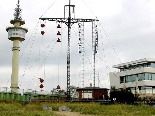 WasserstandsanzeigerAttraction · 99 m from the route
- 2
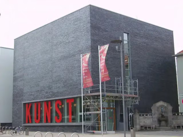 KunstmuseumMuseum · 121 m from the route
- 3
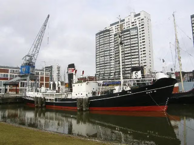 RAU IXAttraction · 179 m from the route
- 4
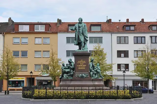 Bürgermeister-Smidt-DenkmalMemorial · 206 m from the route
- 5
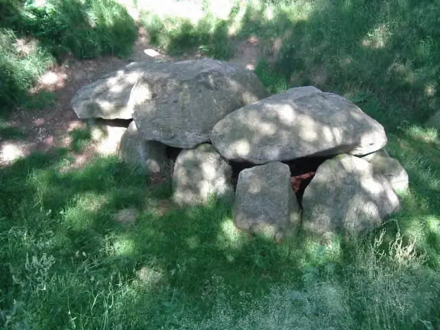 Großsteingrab KronskarkArchaeological site · 294 m from the route
- 6
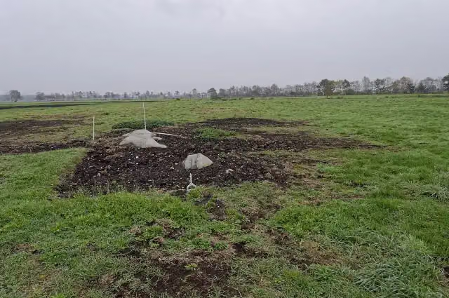 Großsteingrab im Ahlen-Falkenberger MoorArchaeological site · 304 m from the route
- 7
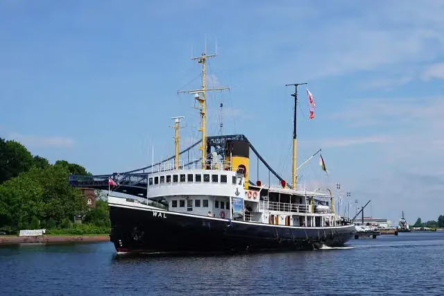 Dampfeisbrecher WalAttraction · 305 m from the route
- 8
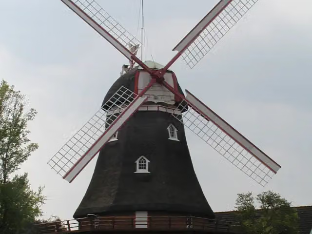 Holländer-Windmühle BederkesaMuseum · 402 m from the route
- 9
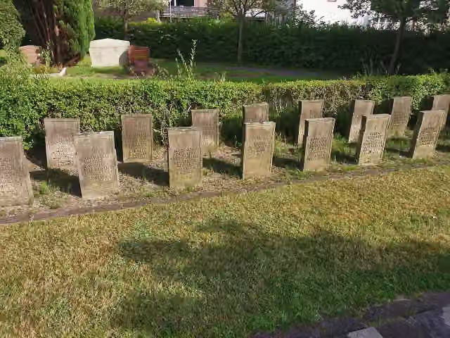 KriegsgräberstätteMemorial · 851 m from the route
- 10
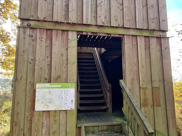 Fledermaus-TurmObservation tower · 1.3 km from the route
- 11
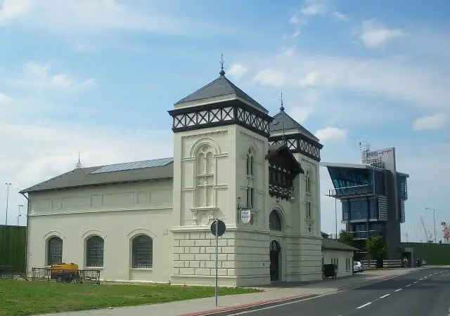 Altes KraftwerkMuseum · 1.4 km from the route
- 12
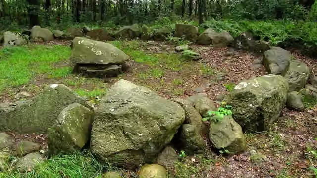 Steinkiste von FlögelnArchaeological site · 1.9 km from the route
- 13
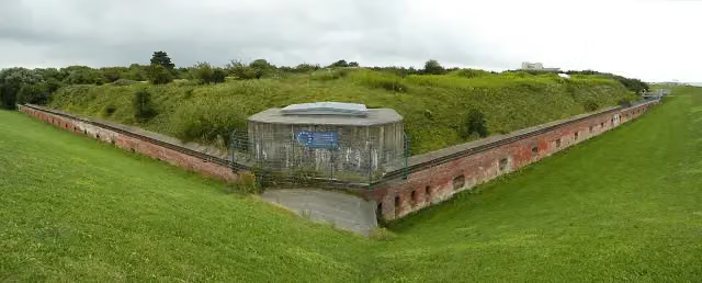 Fort KugelbakeAttraction · 2 km from the route
- 14
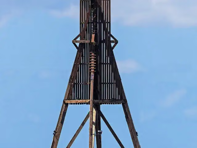 KugelbakeAttraction · 2.4 km from the route
- 15
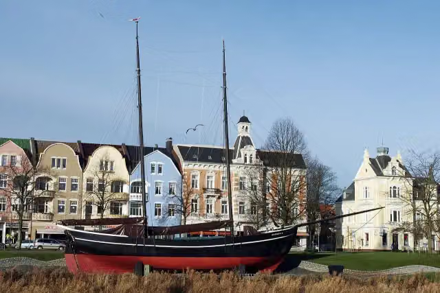 Gaffelschoner HermineAttraction · 2.6 km from the route
- 16
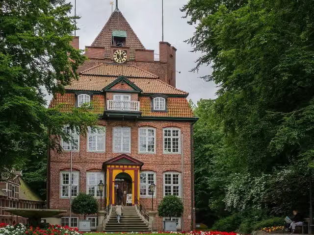 Schloss RitzebüttelCastle · 2.6 km from the route
- 17
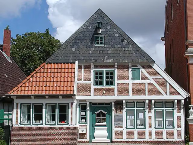 Joachim-Ringelnatz-MuseumMuseum · 2.8 km from the route
- 18
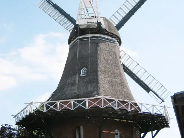 Windmühle LintigAttraction · 3.1 km from the route
- 19
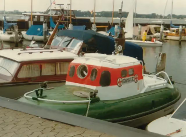 Rettungsschiff SwantjeAttraction · 3.1 km from the route
- 20
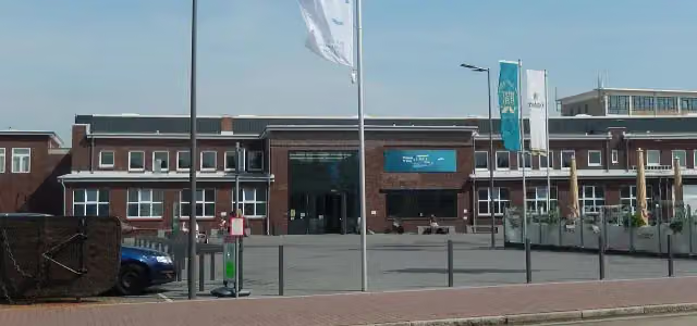 Windstärke 10Museum · 3.1 km from the route
- 21
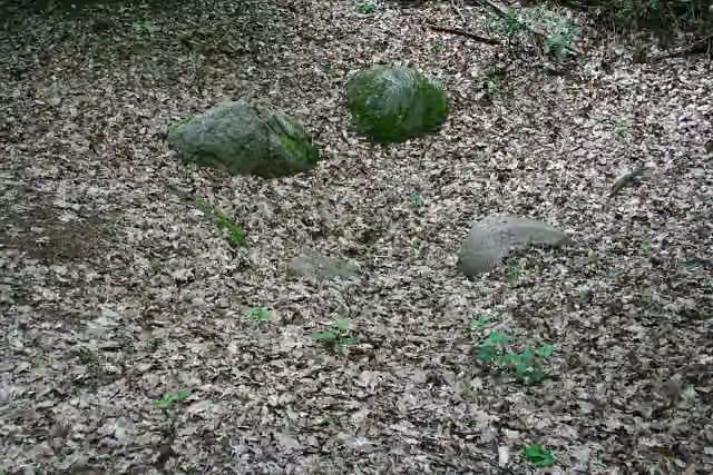 Großsteingrab WehdenArchaeological site · 3.2 km from the route
- 22
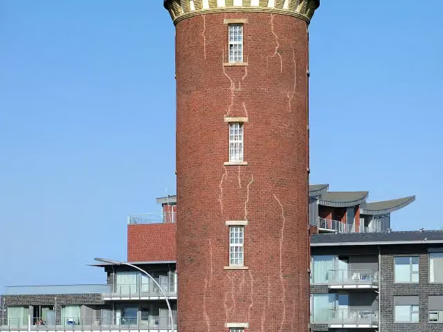 Hamburger LeuchtturmAttraction · 3.2 km from the route
- 23
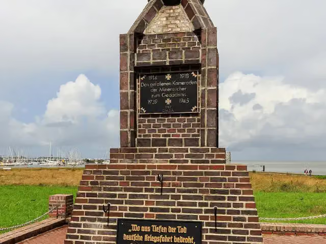 Minensucher-EhrenmalMemorial · 3.3 km from the route
- 24
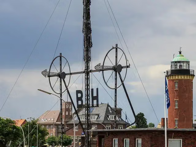 WindsemaphorAttraction · 3.3 km from the route
- 25
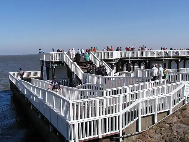 Alte LiebeAttraction · 3.4 km from the route
Explore more
More cycle routes around Cuxhaven
More nearby
Frequently asked questions
How long is Vom Teufelsmoor zum Wattenmeer?
Vom Teufelsmoor zum Wattenmeer is 80.2 km long. Allow ± 5:20 h of riding: 15 km an hour, without breaks.
Is this route a circular ride?
No, the route runs from Cuxhaven to Bremerhaven.
Where does this route start?
The route starts in Cuxhaven.
How hard is this route?
Hard, with 101 m of climbing.
Are there toilets along this route?
Yes, there are 83 public toilets within 100 m of the route. The longest stretch without a toilet is 33.1 km.
Can you fill up with water along this route?
Yes, there are 1 water point within 100 m of the route.
What is there to see along this route?
Along the way you pass St. Jacobi "Bauerndom", Museum Burg Bederkesa and Burg Bederkesa.
Can I download this route as a GPX file?
Yes. Sign in with your Outdoor Pitstop account and choose Download GPX at the top of this page: 10 routes a month for free, unlimited with Pro.
Starting point
More routes from this place
Route data © OpenStreetMap contributors





