 Outdoor Pitstop
Cycle route · Bremen · Updated on 14 November 2026
Vom Teufelsmoor zum Wattenmeer cycle route
Vom Teufelsmoor zum Wattenmeer is a cycle route of 644.8 km from Bremen. Along the way you'll find 881 benches, 4 water fountains and refill points, 140 public toilets, 9 bike pumps and 1 honesty box.
i
i
i
The route step by step
From start to finish, with what you pass along the way and the distance in between.
- 644.8 km
- ± 5:20 h per stage
- ↑ 597 m · ↓ 618 m
- Hard per stage
- From A to B
- Regional route
Start in Bremen
0 km945 m · 11 benches

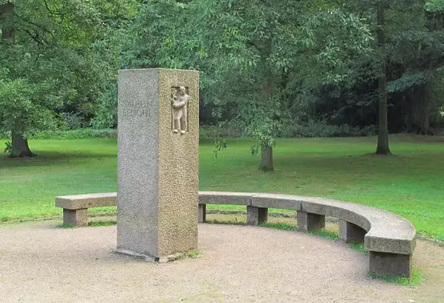
Wilhelm Benque Denkmal
945 mBike pump
1.1 km · 36 benches
Public toilet
2.1 km725 m · bench
Public toilet
2.8 km22.1 km · 30 benches
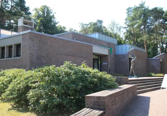
Große Kunstschau Worpswede
25 kmPublic toilet and bike pump
225 m · 7 benches
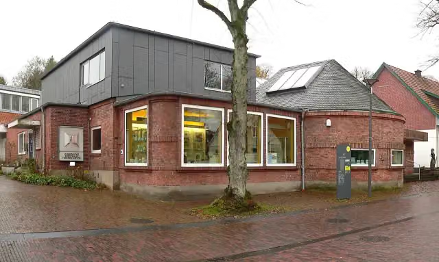
Worpsweder Kunsthalle
25.2 kmMuseum
3.3 km · 8 benches
3 public toilets and bike pump
28.5 km110.3 km · 79 benches
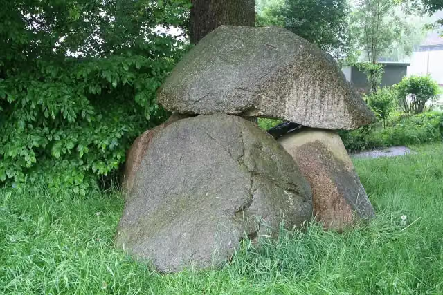
Großsteingrab Heinbockel
138.8 kmArchaeological site
7.1 km · 2 benches
Bike pump
146 km15.1 km · bench
Public toilet and 2 bike pumps
161.1 km6.1 km · bench
Water point
167.2 km5.9 km · bench
Public toilet
173 km15.4 km · 7 benches
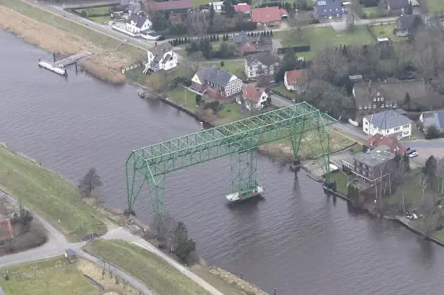
Schwebefähre Osten-Hemmoor
188.5 kmAttraction
397 m
Heimat- und Buddelmuseum
188.8 kmMuseum
29.5 km · 10 benches
Public toilet
218.4 km38.2 km · 49 benches
Public toilet
256.6 km460 m · 4 benches
2 public toilets
257.1 km2.3 km · 5 benches
2 public toilets
259.4 km4.5 km · 4 benches
2 public toilets
263.9 km757 m · 3 benches
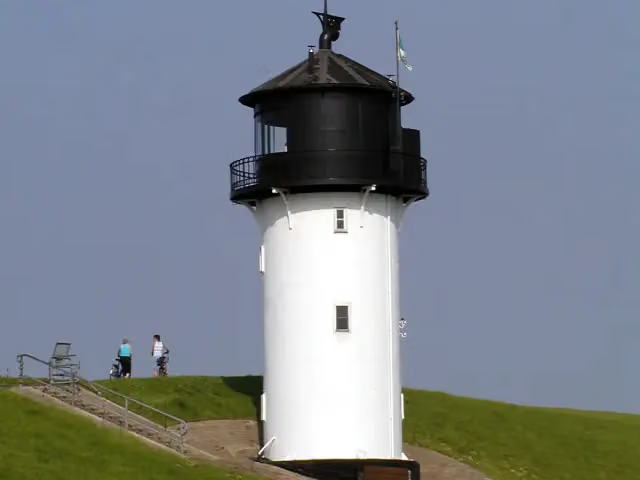
Altenbruch Leuchtturm Dicke Berta
264.7 kmPublic toilet
458 m · 7 benches
Aussichtsturm
265.1 kmObservation tower
4.8 km
Public toilet
270 km325 m
Windstärke 10 and 1 more
270.3 kmRettungsschiff Swantje and bike pump
191 m · 4 benches
Public toilet
270.5 km1.9 km · 15 benches
2 public toilets
272.4 km476 m · 4 benches
Public toilet
272.9 km1 km · 30 benches
Public toilet
273.9 km1.1 km · 20 benches
Public toilet
275 km299 m · 14 benches
2 public toilets
275.3 km170 m · 2 benches
Public toilet
275.4 km
Show the other 53 steps
606 m · 14 benches
Public toilet
276 km335 m · 4 benches
Public toilet
276.4 km746 m · 3 benches
Public toilet
277.1 km376 m · 3 benches
2 public toilets
277.5 km16.5 km · 13 benches
St. Jacobi "Bauerndom"
294 kmAttraction
16.7 km · 8 benches
Public toilet
310.7 km15.9 km · 46 benches
Museum Burg Bederkesa and 1 more
326.6 kmBurg Bederkesa and 2 public toilets
28.7 km · 26 benches
Public toilet
355.2 km283 m · 2 benches
Schulschiff Deutschland and 1 more
355.5 kmWelle
191 m
Deutsches Auswandererhaus
355.7 kmWater point
272 m · bench
Klimahaus Bremerhaven
356 kmMuseum
196 m
Helmut and 1 more
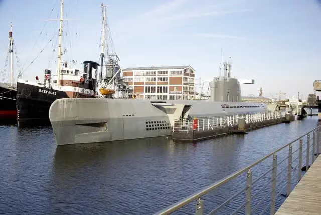
356.2 kmU-Boot Wilhelm Bauer and public toilet
180 m
Emma and 4 more
356.4 kmSeefalke, Deutsches Schifffahrtsmuseum, Elbe 3 and DIVA
222 m · 4 benches
Altes Unterfeuer Sandstedt and 1 more
356.6 kmRadarturm and public toilet
175 m · bench
19 public toilets
356.8 km159 m · bench
9 public toilets
356.9 km156 m · 6 benches
Wencke-Dock
357.1 km47 public toilets
304 m · 13 benches
Busse-Denkmal and 1 more
357.4 kmHistorisches Museum Bremerhaven and public toilet
1.3 km · 17 benches
Public toilet
358.7 km13 km · 12 benches
Arp-Schnitger-Orgel
371.7 kmPublic toilet
7.1 km · 9 benches
Hermann-Allmers-Haus
378.8 kmMuseum
23.3 km · 8 benches
Public toilet
402 km4.2 km · 11 benches
Rosen für die Opfer
406.2 kmMemorial
637 m
2 public toilets and water point
406.8 km1.9 km · 3 benches
Public toilet
408.7 km489 m
Public toilet
409.2 km660 m
Schlepper Regina
409.9 kmAttraction
1.1 km · 23 benches
Altes Packhaus and 2 more
411 kmOverbeck-Museum, Walkiefer and 2 public toilets
163 m · 13 benches
BV 2 Vegesack
411.1 kmAttraction
296 m
Public toilet
411.4 km21.8 km · 42 benches
Emmabank
433.2 kmMemorial
731 m · 10 benches
Public toilet
433.9 km155 m
Public toilet
434.1 km181 m · 5 benches
Public toilet
434.3 km862 m · 11 benches
Public toilet and bike pump
435.1 km1.9 km · 14 benches
Observation tower
437.1 kmObservation tower
1 km · 10 benches
Wattenmeer-Besucherzentrum Cuxhaven
438.1 kmBike pump
243 m · 4 benches
Public toilet
438.3 km28.3 km · 67 benches
Public toilet and honesty box
466.6 km561 m · 11 benches
Public toilet
467.2 km10.9 km · 9 benches
Public toilet
478.1 km3.5 km · 26 benches
RAU IX
481.5 kmPublic toilet
191 m · 7 benches
Public toilet
481.7 km183 m · 3 benches
Water point
481.9 km1.5 km
Public toilet
483.4 km11.9 km
Schöpfwerksturm
495.2 kmObservation tower
74.3 km · 9 benches
Public toilet
569.5 km2.3 km
Public toilet
571.8 km5.9 km · 4 benches
Kapelle am Deich
577.7 kmAttraction
766 m
Public toilet
578.4 km465 m · 10 benches
Schloss Bremervörde and 2 more
578.9 kmBachmann-Museum Bremervörde and Steinkiste von Farven
42.4 km · 8 benches
Public toilet
621.3 km23.5 km · 35 benches
Finish
644.8 kmAt the finish: public toilet.
Longest stretch without a toilet: 132.6 kmBetween 28.5 km and 161.1 km there is no public toilet within 100 m of the route.
The route with the water points, toilets and sights within 100 m of it.
46 sights along the way
In the order you pass them. With the Outdoor Pitstop app you hear their story on the spot. 38 more along the route are on the map.
i
Photo: Blutgretchen (talk) · Wikimedia Commons · CC BY-SA 3.0View the photo on Wikimedia CommonsMemorial · after 945 m
i
Photo: Eduard47 · Wikimedia Commons · CC BY-SA 4.0View the photo on Wikimedia CommonsMuseum · after 25 km
i
Photo: Axel Hindemith · Wikimedia Commons · CC BY-SA 4.0View the photo on Wikimedia CommonsMuseum · after 25.2 km
i
Photo: Einsamer Schütze · Wikimedia Commons · CC BY-SA 4.0View the photo on Wikimedia CommonsArchaeological site · after 138.8 km
i
Photo: Teta_pk · Wikimedia Commons · CC BY-SA 3.0View the photo on Wikimedia CommonsAttraction · after 188.5 km
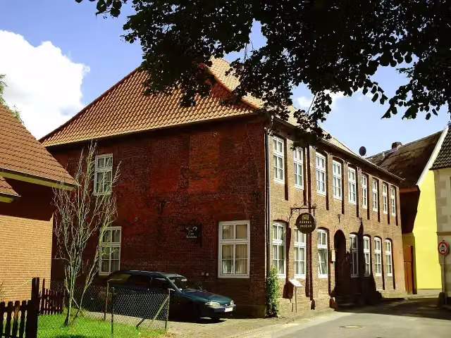
Museum · after 188.8 km
i
Photo: User:Raboe001 · Wikimedia Commons · CC BY-SA 2.5View the photo on Wikimedia CommonsAttraction · after 264.7 km

Observation tower · after 265.1 km
Stages (8)
- 1Vom Teufelsmoor zum Wattenmeer85.7 km
- 2Vom Teufelsmoor zum Wattenmeer101.2 km
- 3Vom Teufelsmoor zum Wattenmeer90.7 km
- 4Vom Teufelsmoor zum Wattenmeer80.2 km
- 5Vom Teufelsmoor zum Wattenmeer76.1 km
- 6Vom Teufelsmoor zum Wattenmeer Alternative48 km
- 7Vom Teufelsmoor zum Wattenmeer Alternativroute96.7 km
- 8Vom Teufelsmoor zum Wattenmeer Alternative66.2 km
Elevation and terrain
- Up
- ↑ 597 m
- Down
- ↓ 618 m
- Highest point
- 43 m
- Lowest point
- -1 m
- 1 flight of stairs
Elevation from Copernicus GLO-30 (European Union and ESA), smoothed.
produced using Copernicus WorldDEM-30 © DLR e.V. 2010-2014 and © Airbus Defence and Space GmbH 2014-2018 provided under COPERNICUS by the European Union and ESA; all rights reserved
Way types
644.8 km in total- Road: 266.5 km
- Track: 131.5 km
- Street: 117.5 km
- Path: 92.8 km
- Busy road: 19.2 km
- Footpath (walk your bike): 9.9 km
- Cycle path: 6.3 km
- Steps (carry your bike): 1 flight of stairs
- Unknown: 50 m
Surfaces
644.8 km in total- Asphalt: 377.6 km
- Paved: 118.1 km
- Gravel: 36.6 km
- Unpaved: 5.2 km
- Natural: 4 km
- Unknown: 102.4 km
About the cycle route Vom Teufelsmoor zum Wattenmeer
Updated on 14 November 2026, with data from OpenStreetMap, the AHN and Copernicus.
Where do you cycle?
Vom Teufelsmoor zum Wattenmeer is a cycle route of 644.8 km that starts in Bremen. It does not end where it starts. Along the way you pass Wilhelm Benque Denkmal (after 945 m), Große Kunstschau Worpswede (after 25 km) and Worpsweder Kunsthalle (after 25.2 km).
How hard is the route?
You climb 597 m in total and descend 618 m. There is 1 flight of steps along the way. Allow ± 5:20 h per stage, without breaks. Per stage the level is hard.
What roads do you cycle on?
The longest part is road (266.5 km), track (131.5 km) and street (117.5 km). Of the surface, 377.6 km asphalt and 118.1 km paved. For 102.4 km the surface is not known.
Pitstops along the way
Within 100 metres of the route there are 881 benches, 4 water fountains and refill points, 140 public toilets, 9 bike pumps and 1 honesty box. You can fill your bottle after 167.2 km, after 355.9 km, after 406.9 km and after 481.9 km. The longest stretch without a toilet is 132.6 km. The Outdoor Pitstop app navigates you there.
Cycle routes nearby
6Sights nearby
Within 10 km of the route, best known first.
- 1
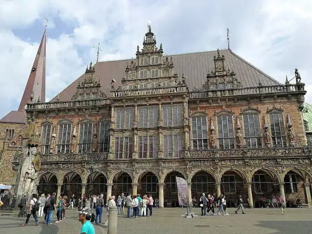 Town HallAttraction · 1.5 km from the route
- 2
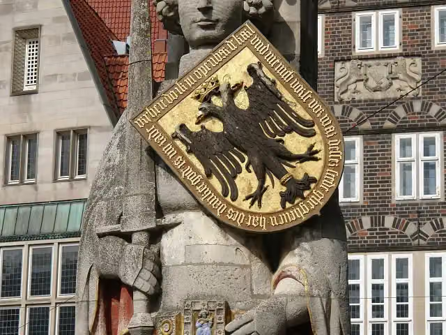 RolandAttraction · 1.5 km from the route
- 3
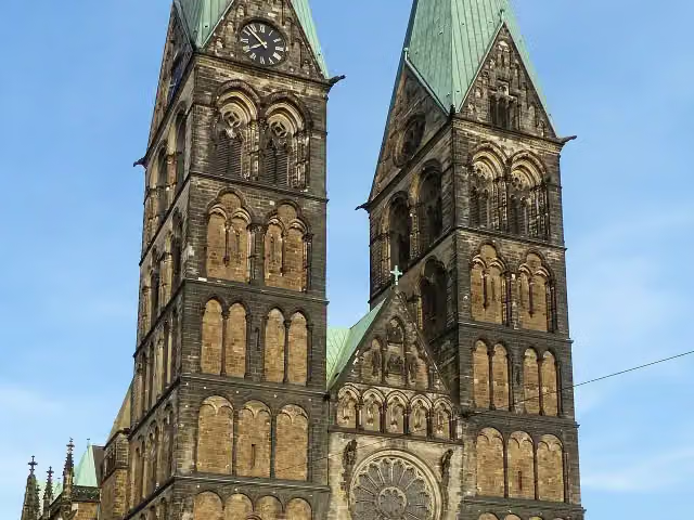 Saint Peter's CathedralAttraction · 1.5 km from the route
- 4
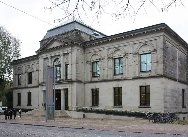 Kunsthalle BremenMuseum · 1.5 km from the route
- 5
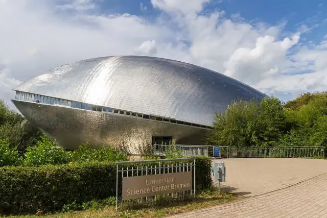 Science CenterMuseum · 183 m from the route
- 6
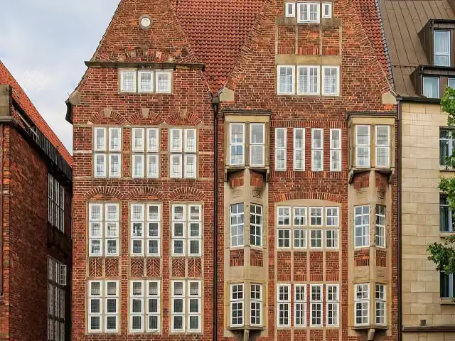 The Atlantis HouseAttraction · 1.7 km from the route
- 7
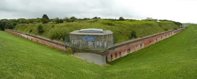 Fort KugelbakeAttraction · 94 m from the route
- 8
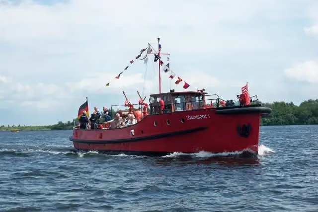 Löschboot 1Attraction · 94 m from the route
- 9
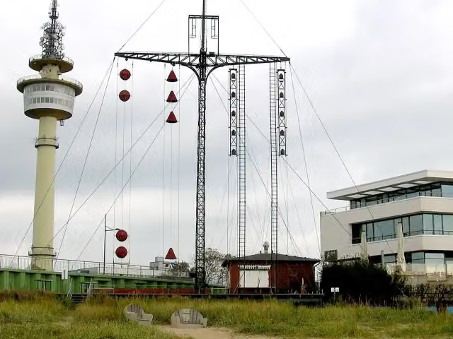 WasserstandsanzeigerAttraction · 99 m from the route
- 10
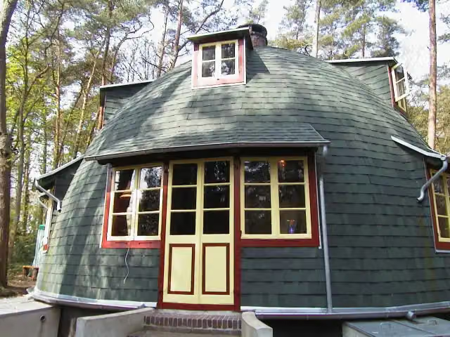 KäseglockeMuseum · 114 m from the route
- 11
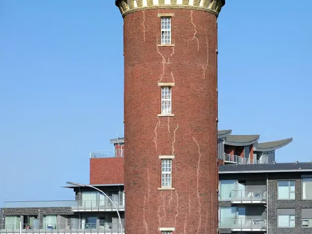 Hamburger LeuchtturmAttraction · 116 m from the route
- 12
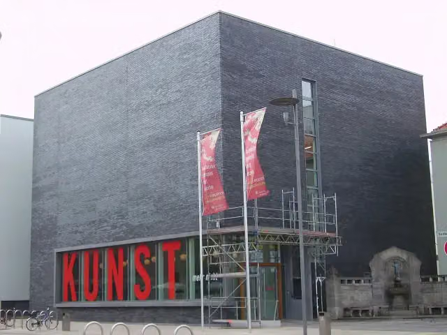 KunstmuseumMuseum · 121 m from the route
- 13
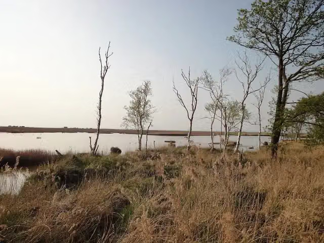 Schwimmendes MoorAttraction · 144 m from the route
- 14
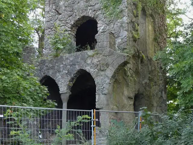 RuinsRuins · 148 m from the route
- 15
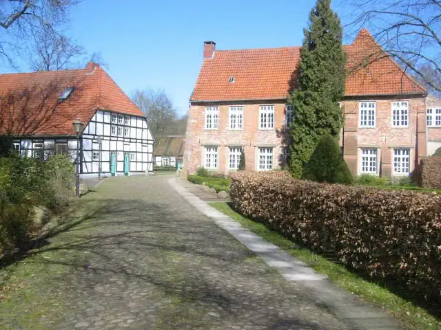 Burg BlomendalAttraction · 165 m from the route
- 16
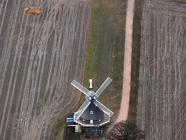 Windmühle AmandaAttraction · 166 m from the route
- 17
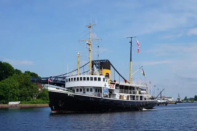 Dampfeisbrecher WalAttraction · 176 m from the route
- 18
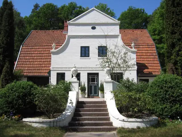 BarkenhoffAttraction · 179 m from the route
- 19
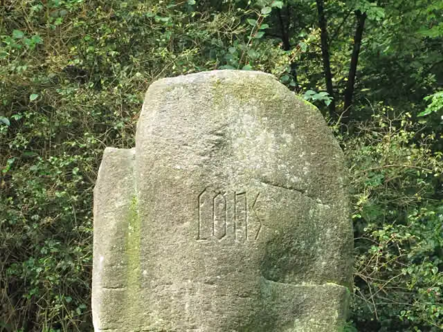 Hermann Löns DenkmalMemorial · 194 m from the route
- 20
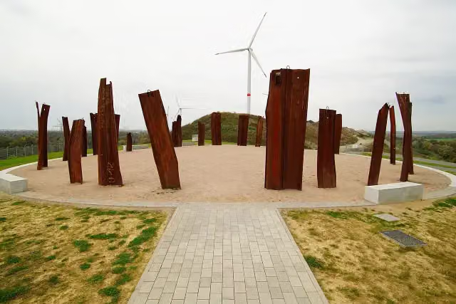 MetalhengeViewpoint · 198 m from the route
- 21
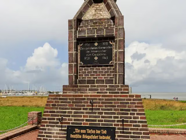 Minensucher-EhrenmalMemorial · 201 m from the route
- 22
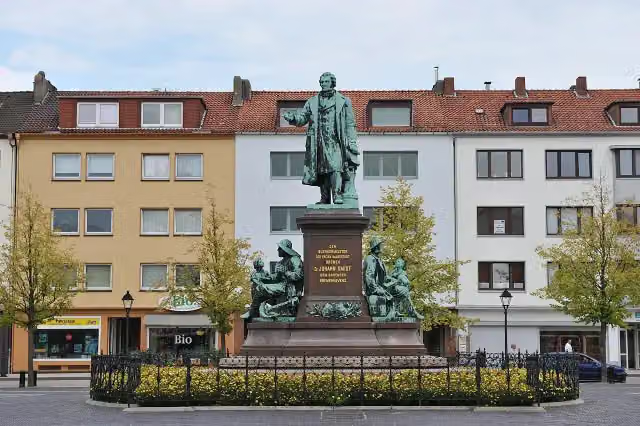 Bürgermeister-Smidt-DenkmalMemorial · 206 m from the route
- 23
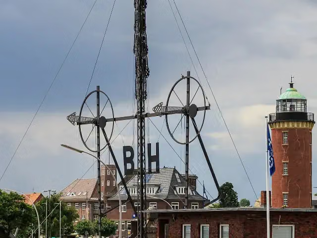 WindsemaphorAttraction · 214 m from the route
- 24
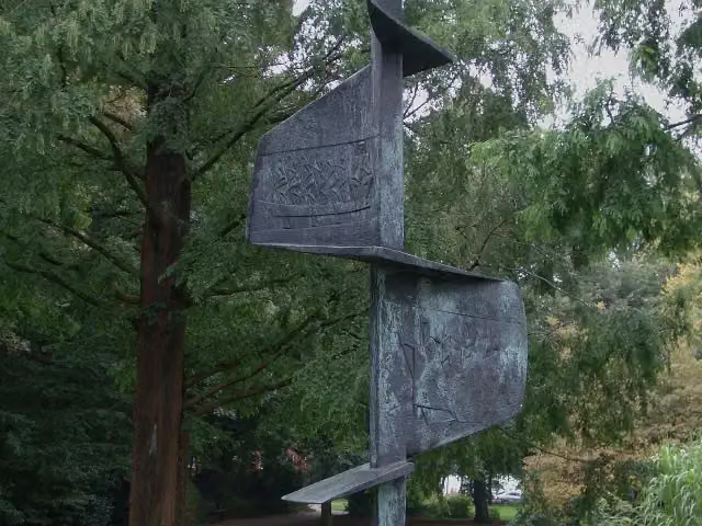 Gerhard-Rohlfs-DenkmalMemorial · 221 m from the route
- 25
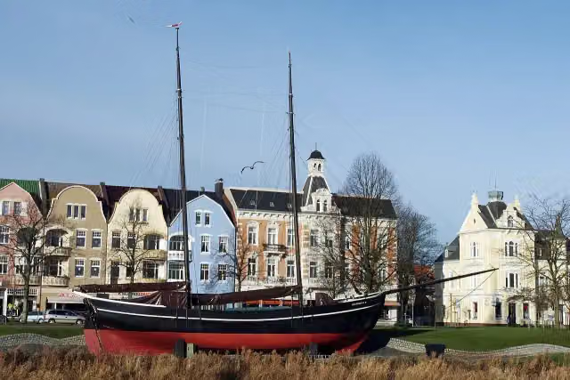 Gaffelschoner HermineAttraction · 240 m from the route
Explore more
More cycle routes around Bremen
More nearby
Frequently asked questions
How long is Vom Teufelsmoor zum Wattenmeer?
Vom Teufelsmoor zum Wattenmeer is 644.8 km long, in 8 stages of 80.6 km on average. Allow ± 5:20 h per stage of riding: 15 km an hour, without breaks.
How many stages does this route have?
The route is split into 8 stages of 80.6 km on average, 644.8 km in all. The shortest stage is 48 km, the longest 101.2 km.
Is this route a circular ride?
No, the route starts and ends at different spots.
Where does this route start?
The route starts in Bremen.
How hard is this route?
Hard per stage, with 75 m per stage of climbing.
Are there toilets along this route?
Yes, there are 140 public toilets within 100 m of the route. The longest stretch without a toilet is 132.6 km.
Can you fill up with water along this route?
Yes, there are 4 water fountains and refill points within 100 m of the route.
What is there to see along this route?
Along the way you pass Wilhelm Benque Denkmal, Große Kunstschau Worpswede and Worpsweder Kunsthalle.
Which stage of this route has the most points of interest?
Stage 4 (80.2 km), with 19 points of interest along the route, such as St. Jacobi "Bauerndom", Museum Burg Bederkesa and Burg Bederkesa.
Can I download this route as a GPX file?
Yes. Sign in with your Outdoor Pitstop account and choose Download GPX at the top of this page: 10 routes a month for free, unlimited with Pro.
Starting point
More routes from this place
Route data © OpenStreetMap contributors





