 Outdoor Pitstop
Cycle route · Bad Iburg · Updated on 14 November 2026
Pilgerroute Niedersachsen Hamburg cycle route
Pilgerroute Niedersachsen Hamburg is a cycle route of 351.7 km from Bad Iburg. Along the way you'll find 1,277 benches, 6 water fountains and refill points, 41 public toilets, 8 bike pumps and 6 honesty boxes and farm vending machines.
i
i
i
The route step by step
From start to finish, with what you pass along the way and the distance in between.
- 351.7 km
- ± 23:25 h
- ↑ 796 m · ↓ 972 m
- Hard
- From A to B
- National route
Start in Bad Iburg
0 km14.7 km · 16 benches

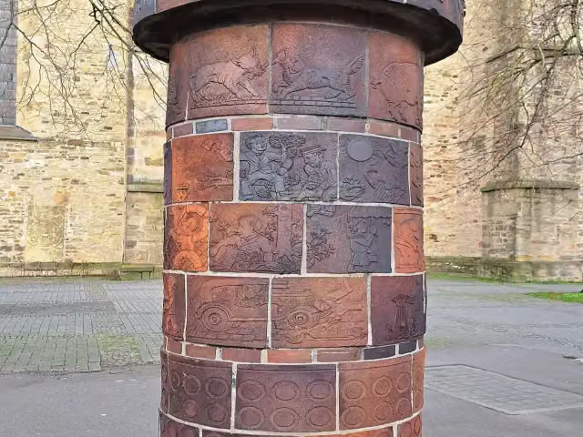
Abluftsäule
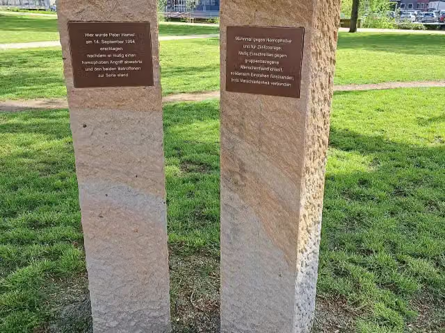
14.7 kmMemorial
459 m · 23 benches
Mahnmal Peter Hamel
15.2 kmWater point
988 m · 44 benches
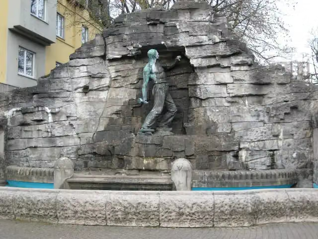
Haarmannsbrunnen
16.2 kmAttraction
234 m · 7 benches
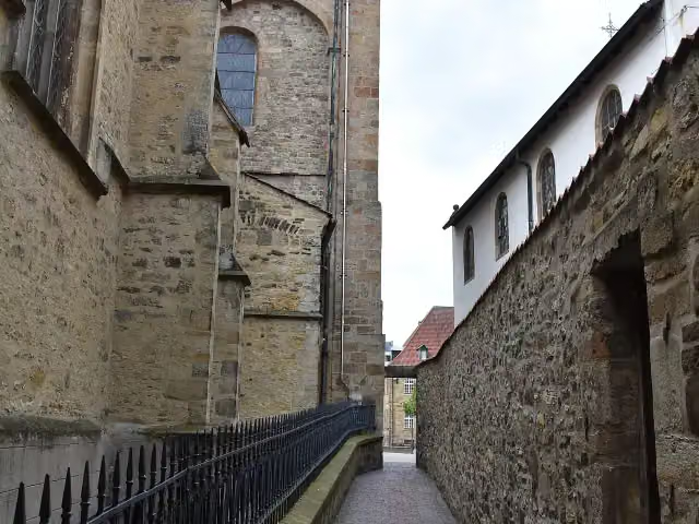
Hexengang and 1 more
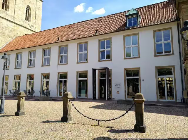
16.4 kmForum am Dom - Domschatzkammer und Diözesanmuseum
161 m · bench
Löwenpudel
16.6 km2 public toilets
5.4 km · 13 benches
Bike pump
21.9 km30.5 km · 14 benches
Public toilet
52.5 km37.5 km · 28 benches
Wasserburg Hopen
90 kmCastle
1.9 km · 8 benches
Public toilet
91.9 km485 m
Industrie Museum Lohne
92.4 kmBike pump
10.7 km · 4 benches
Bike pump
103.1 km31.9 km · 22 benches
Großsteingrab Reckumer Steine 2
135 kmArchaeological site
36.8 km · 29 benches
4 honesty boxes and farm vending machines
171.7 km2.5 km · 5 benches
Flugzeugabsturz 1966
174.2 kmMemorial
4.2 km · 29 benches
Johann Gottfried Seume
178.4 kmMemorial
366 m · 7 benches
Balge and 4 more
178.8 kmKlosterbalge, Balge, Balge, Mahnmal für die Opfer der Novemberpogrome 1938 and water point
162 m · 9 benches
St.Jacobus and 7 more
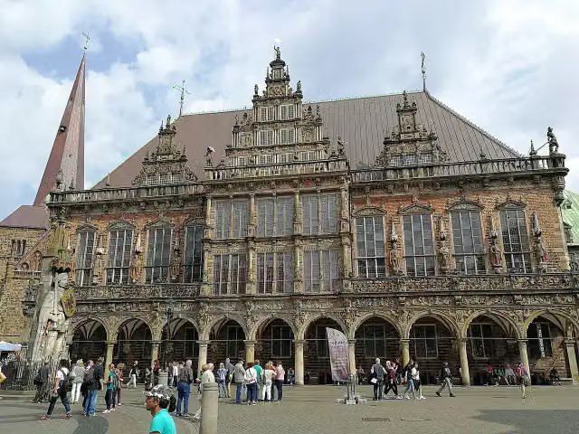
178.9 kmBleikeller, Skulpturengarten, Bremer Loch, Roland, Herold, Reiterstandbild Otto von Bismarck, Town Hall and 4 public toilets
160 m · 15 benches
Spuckstein – Gesche Gottfried and 2 more
179.1 kmSaint Peter's Cathedral, Dom-Museum, 3 public toilets and bike pump
973 m · 36 benches
Public toilet
180 km258 m · 7 benches
Antikolonialdenkmal
180.3 kmWater point
1.5 km · 14 benches
Wilhelm Benque Denkmal
181.8 kmBike pump
1.1 km · 36 benches
Public toilet
182.9 km726 m · bench
Public toilet
183.7 km8.4 km · 22 benches
Observation tower
192.1 kmObservation tower
35.9 km · 30 benches
Großsteingrab Nartum
228 kmArchaeological site
15.9 km · 5 benches
Christinenhaus
243.8 kmPublic toilet
253 m · 9 benches
Public toilet
244.1 km16.8 km · 16 benches
Bike pump
260.9 km6.7 km · 16 benches
Public toilet
267.6 km
Show the other 37 steps
13.3 km · 17 benches
Bike pump
280.9 km12.1 km · 10 benches
Honesty box
293 km14 km · 16 benches
Public toilet
307 km2.2 km · 5 benches
3 public toilets
309.2 km182 m · 9 benches
Public toilet
309.4 km4.4 km · 7 benches
Honesty box
313.8 km1.3 km · 3 benches
Public toilet
315.1 km1.6 km · 22 benches
electrum - Museum der Elektrizität
316.8 kmMuseum
4.2 km · 23 benches
Keltisches Baumhoroskop
321 kmAttraction
7 km · 59 benches
German Food Additives Museum
327.9 kmMuseum
1 km · 19 benches
Public toilet
329 km180 m · 8 benches
Haus der Photographie
329.1 kmMuseum
606 m · 4 benches
German Customs Museum
329.8 kmMuseum
1.8 km · 42 benches
2 public toilets and 2 water fountains and refill points
331.5 km256 m · 21 benches
Public toilet
331.8 km173 m · 14 benches
St. Pauli Elbe Tunnel
332 kmAttraction
218 m · 15 benches
Public toilet
332.2 km160 m
Erotic Art Museum
332.3 kmMuseum
269 m · 5 benches
Park Fiction
332.6 km2 public toilets and water point
190 m · 13 benches
U-434 and 1 more
332.8 kmMahnmal Madonna der Seefahrt and public toilet
177 m · 8 benches
Fischmarkt
333 kmAttraction
435 m · 6 benches
Popeye der Seefahrer
333.4 kmMemorial
797 m · 25 benches
Altonaer Balkon
334.2 kmViewpoint
1.4 km · 46 benches
SD WOLTMAN and 4 more
335.6 kmClaus D., Tiger, Flut 1962, Flut 1976 and public toilet
167 m · 12 benches
Elbe 3
335.7 kmPublic toilet
562 m · 18 benches
2 public toilets
336.3 km482 m
Flut 1976 and 1 more
336.8 kmFlut 1962
200 m · 12 benches
Alter Schwede
337 kmAttraction
243 m · 16 benches
Public toilet
337.2 km855 m · 21 benches
Flut 1976
338.1 kmAttraction
2 km · 72 benches
Public toilet
340.1 km3.1 km · 145 benches
Treppenviertel
343.2 kmPublic toilet
416 m · 14 benches
Fischerhaus Museum
343.6 kmMuseum
1.6 km · 19 benches
Public toilet
345.2 km882 m · 2 benches
Public toilet
346 km888 m · 18 benches
Public toilet
346.9 km4.8 km · 65 benches
Finish
351.7 kmAt the finish: bike pump.
Longest stretch without a toilet: 87 kmBetween 91.9 km and 178.9 km there is no public toilet within 100 m of the route.
The route with the pitstops and sights within 100 m of it.
57 sights along the way
In the order you pass them. With the Outdoor Pitstop app you hear their story on the spot. 49 more along the route are on the map.
i
Photo: Ramsch · Wikimedia Commons · CC BY-SA 4.0View the photo on Wikimedia CommonsMemorial · after 14.7 km
i
Photo: Ramsch · Wikimedia Commons · CC BY-SA 4.0View the photo on Wikimedia CommonsMemorial · after 15.2 km
i
Photo: MrsMyer at de.wikipedia · Wikimedia Commons · CC BY-SA 3.0View the photo on Wikimedia CommonsAttraction · after 16.2 km
i
Photo: Ramsch · Wikimedia Commons · CC BY-SA 4.0View the photo on Wikimedia CommonsAttraction · after 16.4 km
i
Photo: N9713 · Wikimedia Commons · CC BY-SA 4.0View the photo on Wikimedia CommonsMuseum · after 16.5 km
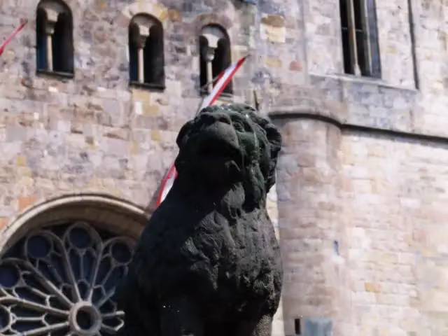
i
Photo: Brisbane · Wikimedia Commons · CC BY-SA 3.0View the photo on Wikimedia CommonsMemorial · after 16.6 km
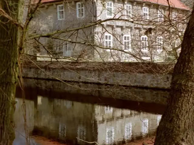
i
Photo: Corradox · Wikimedia Commons · CC BY-SA 3.0View the photo on Wikimedia CommonsCastle · after 90 km
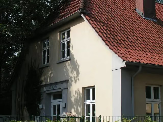
i
Photo: Corradox · Wikimedia Commons · CC BY-SA 3.0View the photo on Wikimedia CommonsMuseum · after 92.4 km
Elevation and terrain
- Up
- ↑ 796 m
- Down
- ↓ 972 m
- Highest point
- 189 m
- Lowest point
- 1 m
- 1 flight of stairs
Elevation from Copernicus GLO-30 (European Union and ESA), smoothed.
produced using Copernicus WorldDEM-30 © DLR e.V. 2010-2014 and © Airbus Defence and Space GmbH 2014-2018 provided under COPERNICUS by the European Union and ESA; all rights reserved
Way types
351.7 km in total- Road: 148.3 km
- Path: 76.9 km
- Street: 59.3 km
- Track: 39 km
- Busy road: 12.9 km
- Footpath (walk your bike): 9.8 km
- Cycle path: 4.7 km
- Steps (carry your bike): 1 flight of stairs
- Unknown: 25 m
Surfaces
351.7 km in total- Asphalt: 247.4 km
- Paved: 42.1 km
- Gravel: 25.5 km
- Unpaved: 3.6 km
- Natural: 325 m
- Unknown: 32.1 km
About the cycle route Pilgerroute Niedersachsen Hamburg
Updated on 14 November 2026, with data from OpenStreetMap, the AHN and Copernicus.
Where do you cycle?
Pilgerroute Niedersachsen Hamburg is a cycle route of 351.7 km that starts in Bad Iburg. It does not end where it starts. You start in Bad Iburg and finish in Wedel. Along the way you pass Abluftsäule (after 14.7 km), Mahnmal Peter Hamel (after 15.2 km) and Haarmannsbrunnen (after 16.2 km).
How hard is the route?
You climb 796 m in total and descend 972 m. There is 1 flight of steps along the way. Allow ± 23:25 h, without breaks. The level is hard.
What roads do you cycle on?
The longest part is road (148.3 km), path (76.9 km) and street (59.3 km). Of the surface, 247.4 km asphalt and 42.1 km paved. For 32.1 km the surface is not known.
Pitstops along the way
Within 100 metres of the route there are 1,277 benches, 6 water fountains and refill points, 41 public toilets, 8 bike pumps and 6 honesty boxes and farm vending machines. You can fill your bottle after 15.3 km, after 178.8 km, after 180.3 km, after 331.6 km and after 332.7 km. The longest stretch without a toilet is 87 km. The Outdoor Pitstop app navigates you there.
Part of Pilgerroute
Cycle routes nearby
6- Pilgerroute NRWHard · From A to B492.7 km
- EuroVelo 3 - Pilgrim's Route - part Germany FriedenrouteHard · From A to B72.7 km
- BahnRadRoute Teuto - Senne HauptrouteHard · From A to B148.6 km
- SagenrouteHard · Circular ride207.8 km
- Niedersächsische Mühlen-TourHard · Circular ride399.7 km
- Friedensroute (Ost)Hard · From A to B81.5 km
Sights nearby
Within 10 km of the route, best known first.
- 1
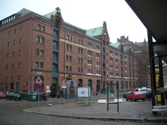 Miniature WonderlandAttraction · 148 m from the route
- 2
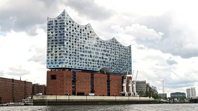 Elbe Philharmonic HallAttraction · 484 m from the route
- 3
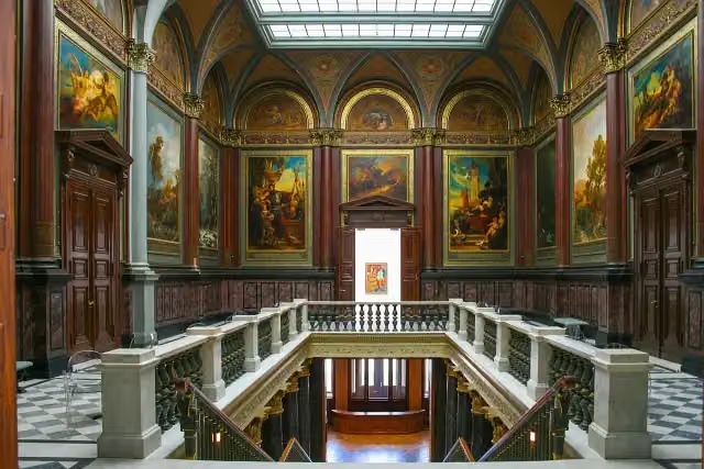 Hamburger KunsthalleMuseum · 898 m from the route
- 4
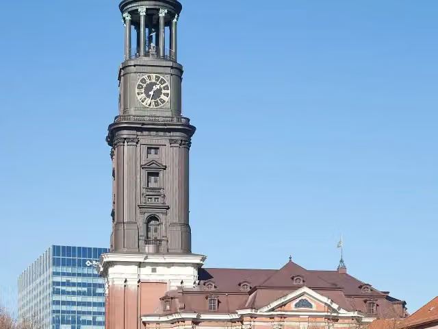 Church of St. MichaelAttraction · 210 m from the route
- 5
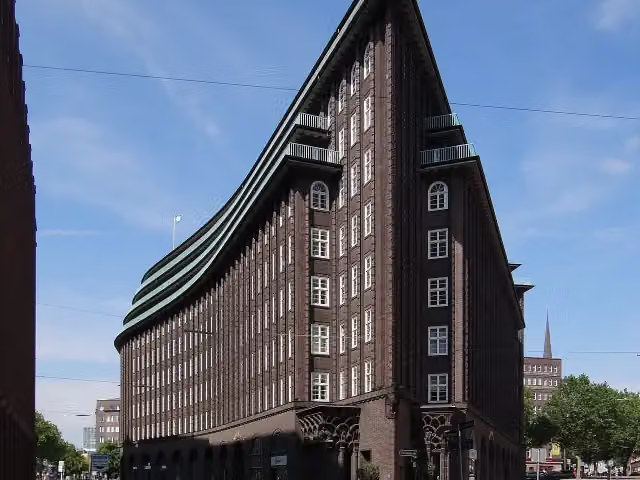 Chilehaus HamburgAttraction · 131 m from the route
- 6
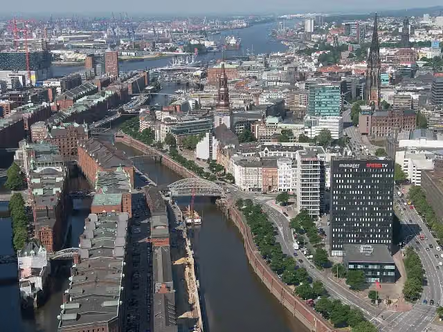 SpeicherstadtAttraction · 155 m from the route
- 7
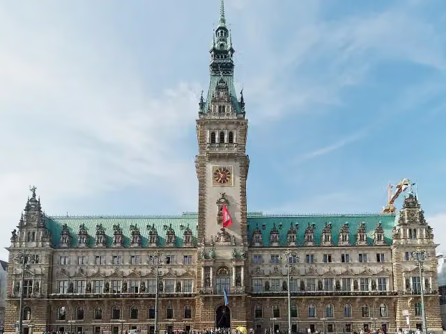 RathausAttraction · 575 m from the route
- 8
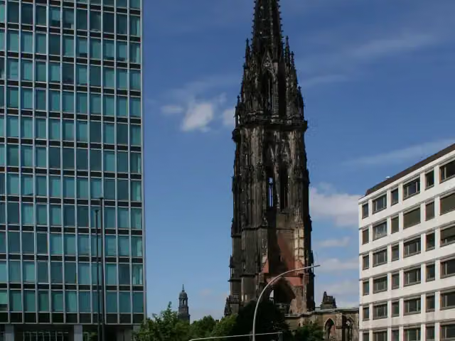 St. Nikolai MuseumMuseum · 301 m from the route
- 9
 Wappen FC St. PauliMemorial · 792 m from the route
- 10
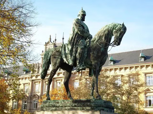 Planten un BlomenAttraction · 1.3 km from the route
- 11
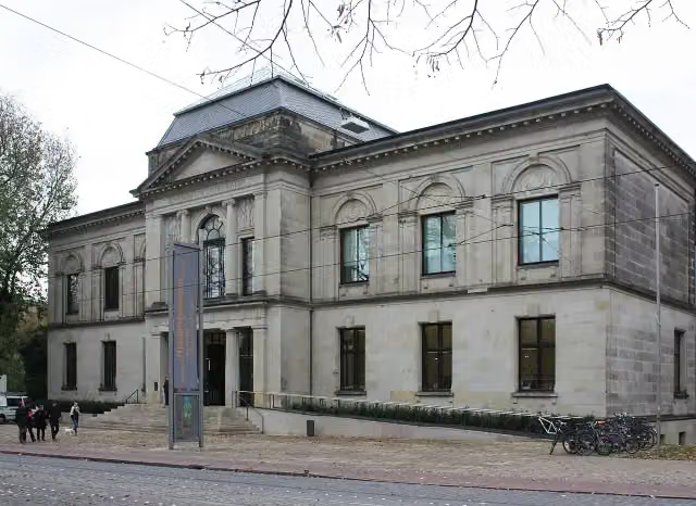 Kunsthalle BremenMuseum · 400 m from the route
- 12
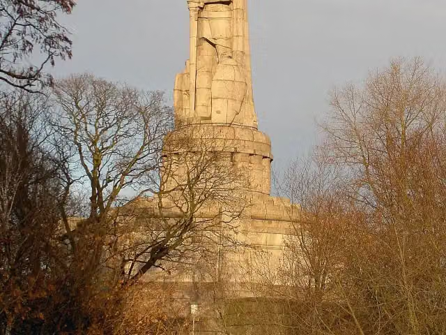 Bismarck-DenkmalAttraction · 342 m from the route
- 13
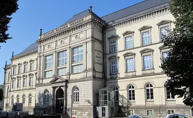 Museum für Kunst und Gewerbe HamburgMuseum · 614 m from the route
- 14
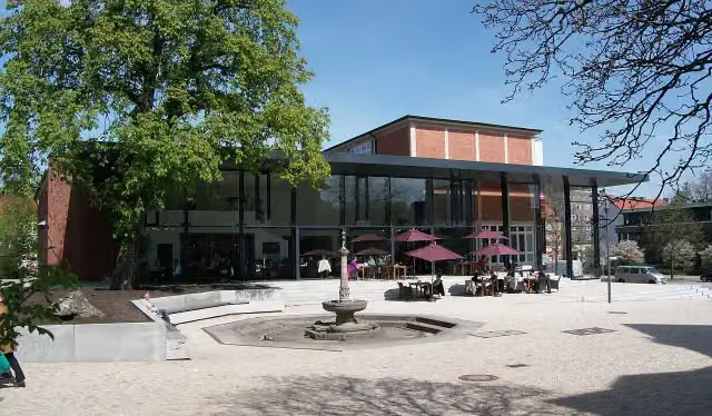 Hamburg Archaeological MuseumMuseum · 218 m from the route
- 15
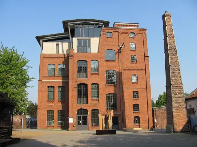 Museum of WorkMuseum · 5.1 km from the route
- 16
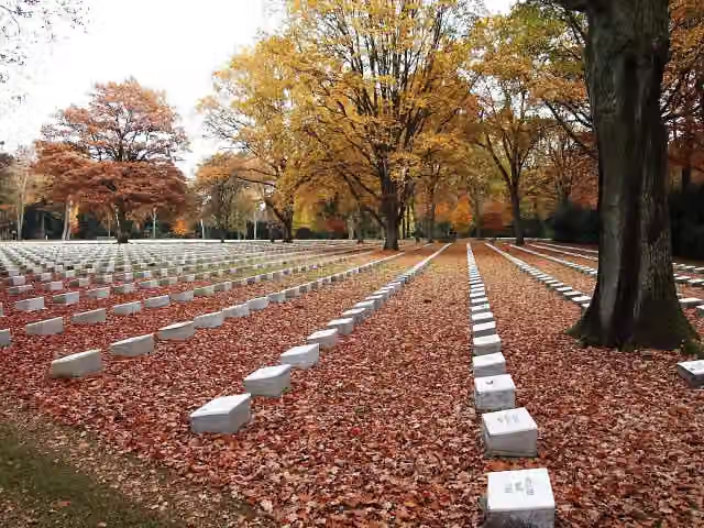 Italian Military CemeteryMemorial · 7.1 km from the route
- 17
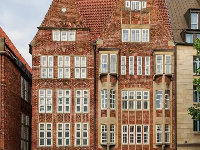 The Atlantis HouseAttraction · 120 m from the route
- 18
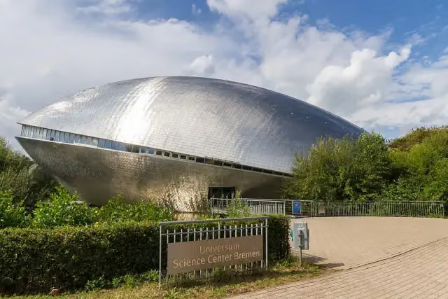 Science CenterMuseum · 183 m from the route
- 19
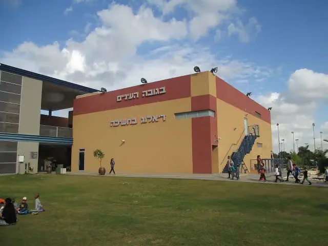 Dialoghaus HamburgMuseum · 86 m from the route
- 20
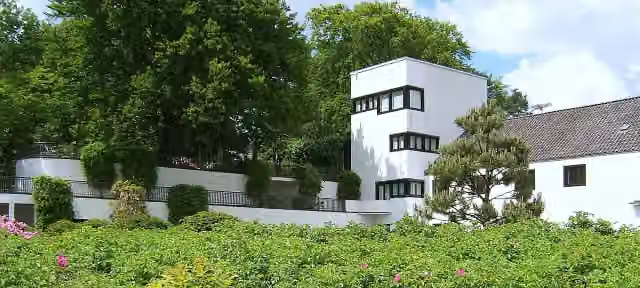 Doll Museum FalkensteinMuseum · 96 m from the route
- 21
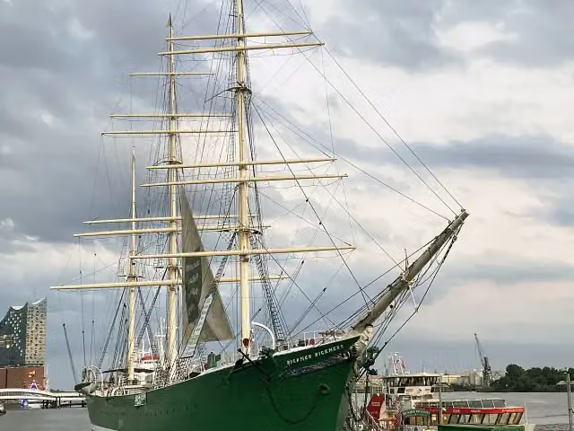 Rickmer RickmersAttraction · 100 m from the route
- 22
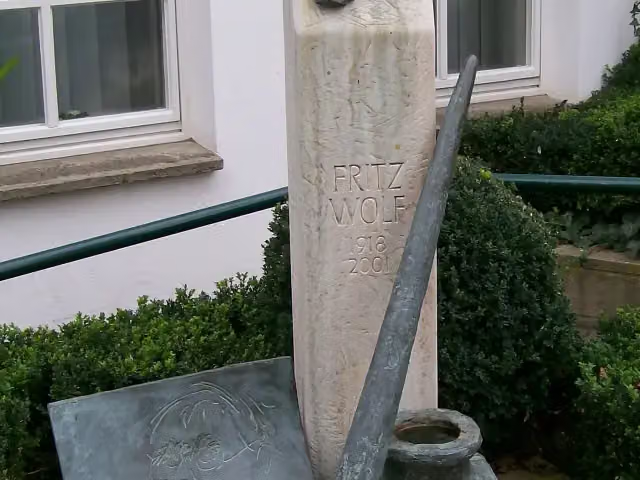 Fritz-Wolf-DenkmalMemorial · 103 m from the route
- 23
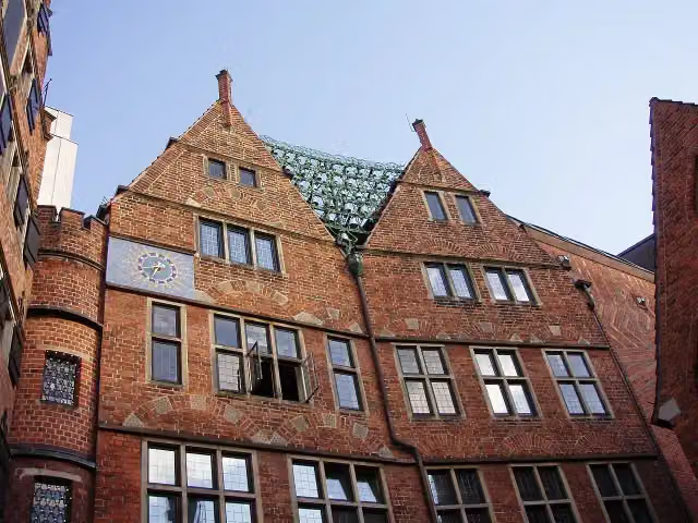 Haus des GlockenspielsAttraction · 110 m from the route
- 24
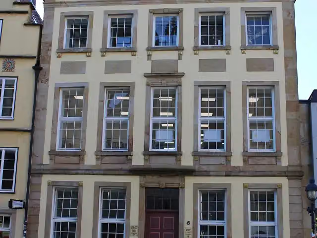 Erich Maria Remarque-FriedenszentrumMuseum · 112 m from the route
- 25
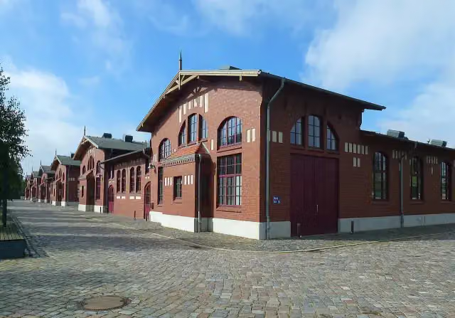 BallinStadtMuseum · 113 m from the route
Explore more
Frequently asked questions
How long is Pilgerroute Niedersachsen Hamburg?
Pilgerroute Niedersachsen Hamburg is 351.7 km long. Allow ± 23:25 h of riding: 15 km an hour, without breaks.
Is this route a circular ride?
No, the route runs from Bad Iburg to Wedel.
Where does this route start?
The route starts in Bad Iburg.
How hard is this route?
Hard, with 796 m of climbing.
Are there toilets along this route?
Yes, there are 41 public toilets within 100 m of the route. The longest stretch without a toilet is 87 km.
Can you fill up with water along this route?
Yes, there are 6 water fountains and refill points within 100 m of the route.
What is there to see along this route?
Along the way you pass Abluftsäule, Mahnmal Peter Hamel and Haarmannsbrunnen.
Can I download this route as a GPX file?
Yes. Sign in with your Outdoor Pitstop account and choose Download GPX at the top of this page: 10 routes a month for free, unlimited with Pro.
Starting point
More routes from this place
Route data © OpenStreetMap contributors





