 Outdoor Pitstop
Cycle route · Mosbach · Updated on 14 November 2026
Burgenstraße cycle route
Burgenstraße is a cycle route of 691.4 km from Mosbach. Along the way you'll find 2,135 benches, 32 water fountains and refill points, 93 public toilets, 22 bike pumps and 10 honesty boxes and farm vending machines.
i
i
i
The route step by step
From start to finish, with what you pass along the way and the distance in between.
- 691.4 km
- ± 9:15 h per stage
- ↑ 4,684 m · ↓ 4,491 m
- Hard per stage
- From A to B
- Regional route
- Colour of the signs
Start in Mosbach
0 kmAt the start: Loretto-Denkmal, public toilet and bike pump.
8.3 km · 24 benches
Public toilet
8.3 km3.4 km · 9 benches
Water point
11.7 km399 m · 2 benches

Schifffahrtsmuseum
12.1 kmMuseum
8.2 km · 33 benches
Bike pump
20.3 km11.3 km · 25 benches
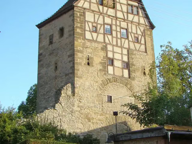
Hoher Turm
31.6 kmAttraction
25.2 km · 17 benches
Bike pump
56.7 km321 m · bench
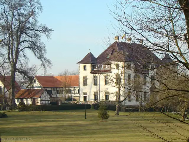
Schloß Grombach
57.1 kmCastle
5 km · 11 benches
Schloß Babstadt
62 kmCastle
3.6 km · 45 benches
Public toilet
65.6 km5.3 km · 56 benches
2 public toilets
70.9 km163 m · 8 benches
Bike pump
71 km991 m · 24 benches
Stiftskirche St. Peter
72 kmAttraction
423 m · 11 benches
Bike pump
72.5 km13.7 km · 68 benches
Götzenturm
86.2 kmBike pump
594 m · 11 benches
Rathaus Heilbronn and 1 more
86.7 kmHafenmarktturm
358 m · 4 benches
Kunsthalle Vogelmann
87.1 kmMuseum
6.1 km · 25 benches
Bike pump
93.2 km293 m · 13 benches
Public toilet
93.5 km1.7 km · 26 benches
Bike pump
95.2 km2.5 km · 22 benches
Bike pump
97.7 km2.5 km · 14 benches
Honesty box
100.2 km1.1 km · bench
Bike pump
101.3 km747 m
Schloss Affaltrach
102 kmCastle
899 m · 10 benches
Bike pump
102.9 km11.1 km · 15 benches
Public toilet
114 km2 km · 6 benches
Public toilet
116 km243 m · 4 benches
Bike pump
116.2 km780 m · 18 benches
Bike pump
117 km683 m
Public toilet
117.7 km
Show the other 137 steps
562 m · 9 benches
Public toilet
118.2 km5.1 km · 9 benches
Neuenstein Castle
123.3 kmPublic toilet
317 m · 19 benches
Bürgerturm Neuenstein
123.6 kmViewpoint
7.2 km · 26 benches
Public toilet
130.8 km9.2 km · 28 benches
Public toilet
140 km4.5 km · 9 benches
Johanniterkirche
144.5 kmMuseum
298 m
Public toilet
144.8 km9 km · 17 benches
Bike pump
153.7 km7.5 km · 9 benches
Bike pump
161.3 km10.4 km · 7 benches
Bike pump
171.7 km538 m
Honesty box
172.2 km8.5 km · 10 benches
Ruine Sulz
180.8 kmCastle
24.3 km · 6 benches
Kriegerdenkmal
205.1 kmMemorial
8.7 km · 7 benches
Toppler Little Castle
213.7 kmAttraction
925 m · 2 benches
Double Bridge over the Tauber River
214.6 kmAttraction
1.2 km · 43 benches
Public toilet
215.9 km578 m · 3 benches
2 public toilets
216.5 km27.7 km · 21 benches
Lehrberger Schloss
244.2 kmBike pump
7.2 km · 15 benches
St. Gumbertus
251.4 kmMemorial
559 m · 4 benches
Public toilet
251.9 km167 m · 6 benches
Ulanen-Denkmal and 1 more
252.1 kmErnst von Bandel
153 m · 9 benches
Markgrafenmuseum and 2 more
252.3 kmAnsBACH-Säule, Der schmale Grat and public toilet
246 m · 8 benches
Robert Limpert and 3 more
252.5 kmHerzog Albrecht von Brandenburg, Johann Bernhard Endres, Markgräfliche Residenz, public toilet and water point
160 m · 11 benches
Simon-Marius-Denkmal
252.7 kmWater point
173 m · 6 benches
Platen-Denkmal and 1 more
252.8 kmKriegerdenkmal 1870-71 and public toilet
212 m · 14 benches
Orangerie
253 kmAttraction
18.9 km · 19 benches
Deutschordensschloss and 2 more
271.9 kmWolframs-Denkmal, Museum Wolfram von Eschenbach and public toilet
7.6 km · 6 benches
Water point
279.5 km2.1 km
Burg Windsbach and 1 more
281.6 kmStadtturm and water point
216 m
Water point
281.8 km954 m · 4 benches
Bike pump
282.8 km12.6 km · 6 benches
Public toilet
295.4 km9.9 km · 10 benches
Public toilet
305.2 km872 m · 4 benches
Public toilet
306.1 km423 m · 7 benches
Museum Schloss Ratibor and 1 more
306.5 kmSchloss Ratibor and bike pump
224 m · 6 benches
Water point, bike pump and honesty box
306.7 km238 m
Honesty box
307 km15.3 km · 14 benches
Dammbruch-Gedenkstein
322.3 kmMemorial
1.7 km · 11 benches
Public toilet
323.9 km3.6 km · 2 benches
Waldstromer-Schlösschen
327.5 kmCastle
5.1 km · 33 benches
Heimatmuseum Stein
332.6 kmPublic toilet
16.4 km · 24 benches
Water point
349 km1.7 km · 2 benches
Aussichtsturm Cadolzburg
350.6 kmObservation tower
341 m · 2 benches
Public toilet
351 km334 m · 2 benches
Historisches Museum
351.3 kmPublic toilet
171 m
Burg Cadolzburg and 1 more
351.5 kmErlebnis Cadolzburg
7.8 km · 19 benches
Water point
359.3 km9.1 km · 26 benches
2 honesty boxes and farm vending machines
368.5 km6 km · 6 benches
Honesty box
374.5 km5.8 km · 72 benches
Public toilet
380.3 km1.3 km
Public toilet
381.6 km1.8 km · 28 benches
Public toilet
383.4 km545 m · 21 benches
2 public toilets
383.9 km887 m · 30 benches
Hesperidengärten
384.8 kmAttraction
805 m · 67 benches
Weißgerbergasse and 2 more
385.6 kmWeinstadel and Toy Museum Nuremberg
164 m · 4 benches
Deutsches Museum Nürnberg and 1 more
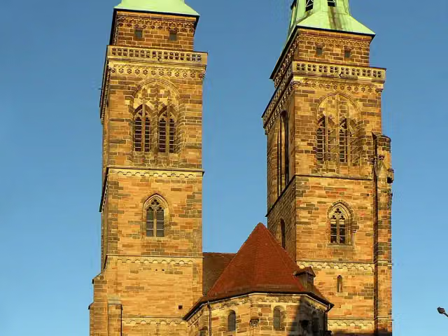
385.8 kmSt. Sebald Church
154 m · 2 benches
Beautiful Fountain and 1 more
385.9 kmFrauenkirche, 3 public toilets and 2 water fountains and refill points
260 m · 17 benches
Museumsbrücke and 1 more
386.2 kmHeilig-Geist-Spital
156 m · 2 benches
Synagogendenkmal and 1 more
386.3 kmSt. Katharina
414 m · 12 benches
Naturhistorisches Museum
386.7 kmMuseum
568 m · 11 benches
Public toilet and water point
387.3 km826 m · 11 benches
Public toilet
388.1 km811 m · 7 benches
Public toilet
388.9 km3 km · 44 benches
Public toilet
391.9 km1.4 km · 8 benches
Ruine Schloss Oberbürg
393.4 kmCastle
1.1 km · 10 benches
Hammer
394.4 kmWater point
2.4 km · 9 benches
Schloss Schwaig
396.8 kmAttraction
9.4 km · 48 benches
Wenzelburg and 1 more
406.2 kmSchleifmühle
165 m · 4 benches
Public toilet and water point
406.3 km195 m · bench
Public toilet
406.5 km320 m · 8 benches
Industriemuseum Lauf
406.9 km2 public toilets
159 m · 2 benches
Public toilet
407 km11.4 km · 11 benches
Water point
418.4 km1.5 km · bench
2 honesty boxes and farm vending machines
419.9 km1.6 km · 6 benches
Sankt-Andreas-Kirche and 1 more
421.5 kmHallerschloss
9.4 km · 35 benches
2 public toilets
431 km685 m · 28 benches
Public toilet
431.7 km1.9 km · 8 benches
Public toilet
433.6 km4.4 km · 8 benches
Tanzlinde
438 kmAttraction
8.3 km · 7 benches
Public toilet
446.3 km13.4 km · 24 benches
Unteres Scheunenviertel
459.8 kmAttraction
222 m · 3 benches
Heimatmuseum
460 kmPublic toilet
381 m · 6 benches
St. Johannes Nepomuk
460.4 kmMemorial
154 m · bench
Oberes Scheunenviertel
460.5 kmPublic toilet
1.6 km · bench
Public toilet
462.2 km2.5 km · 3 benches
2 public toilets
464.7 km775 m · 2 benches
Burgruine Neideck
465.4 kmAttraction
2.2 km · 8 benches
Public toilet
467.6 km4.3 km · 13 benches
Water point
472 km4 km · 11 benches
Basilika zur Heiligsten Dreifaltigkeit and 3 more
476 kmHeimatkundliche Sammlung Gößweinstein, Wallfahrtsmuseum Gößweinstein, Viktor v. Scheffel and public toilet
617 m · 14 benches
Public toilet
476.6 km6.8 km · 13 benches
Burg Pottenstein
483.4 kmWater point
215 m
Scharfrichtermuseum
483.6 kmPublic toilet
347 m · 4 benches
Water point
484 km11.8 km · 27 benches
Kremer Monument
495.8 kmMemorial
1.1 km · 18 benches
Heiliger Nepomuk
496.9 kmMemorial
205 m · 4 benches
Steinerner Beutel
497.1 kmPublic toilet
604 m · 2 benches
2 public toilets and water point
497.7 km12.9 km · 12 benches
Schloss Unteraufseß
510.6 kmCastle
7.3 km · 13 benches
Public toilet
517.9 km421 m · 5 benches
Public toilet
518.3 km15.2 km · 21 benches
Bike pump
533.5 km202 m · 4 benches
Public toilet and water point
533.7 km8.8 km · 25 benches
Public toilet
542.6 km2.4 km · 11 benches
Gärtner- und Häckermuseum
544.9 kmPublic toilet
327 m · 6 benches
4 public toilets
545.3 km568 m · 46 benches
Public toilet
545.8 km966 m · bench
Public toilet
546.8 km10.9 km · 8 benches
Water point
557.7 km4 km · bench
Public toilet and 2 water fountains and refill points
561.7 km555 m · 4 benches
Water point
562.3 km6.5 km · 7 benches
Wüstung Billmuthausen
568.8 kmAttraction
2.1 km · 4 benches
Public toilet
570.9 km9.3 km · 8 benches
Honesty box
580.2 km1.8 km · bench
Public toilet
581.9 km9.4 km · 8 benches
Public toilet, water point and bike pump
591.4 km361 m · 27 benches
Public toilet
591.7 km216 m · bench
Water point
591.9 km194 m
Spitaltor and 2 more
592.1 kmPrinz Friedrich Josias, Bürglaß-Schlösschen, 2 public toilets and water point
176 m · bench
Palais Edinburgh and 1 more
592.3 kmArkaden
217 m · 19 benches
Schloßmuseum and 1 more
592.5 kmSchloss Ehrenburg
637 m · bench
Mausoleum für Herzog Franz Friedrich Anton und Herzogin Auguste
593.2 kmAttraction
775 m · 3 benches
2 public toilets
593.9 km7.7 km · 13 benches
Water point
601.7 km9.8 km · 4 benches
Water point
611.5 km18.1 km · 14 benches
Public toilet and water point
629.6 km2.1 km · 14 benches
Public toilet
631.7 km649 m · 8 benches
Public toilet
632.3 km24.4 km · 16 benches
2 public toilets
656.7 km185 m · 5 benches
Water point
656.9 km654 m · 28 benches
Public toilet
657.6 km11.7 km · 18 benches
Tanzlinde
669.3 kmAttraction
5.7 km · 9 benches
Schloss Neudrossenfeld
674.9 kmCastle
11.1 km · 27 benches
Public toilet
686 km407 m · 4 benches
Public toilet and water point
686.4 km2.2 km · 32 benches
Public toilet
688.6 km2.8 km · 20 benches
Finish
691.4 kmAt the finish: Neues Schloss Eremitage, Eremitage and public toilet.
Longest stretch without a toilet: 71.1 kmBetween 144.8 km and 215.9 km there is no public toilet within 100 m of the route.
The route with the water points, toilets and sights within 100 m of it.
98 sights along the way
In the order you pass them. With the Outdoor Pitstop app you hear their story on the spot. 90 more along the route are on the map.

Memorial · after 0 m
Museum · after 12.1 km
i
Photo: Peter Schmelzle · Wikimedia Commons · CC BY-SA 3.0View the photo on Wikimedia CommonsAttraction · after 31.6 km
i
Photo: p.schmelzle · Wikimedia Commons · CC BY-SA 2.5View the photo on Wikimedia CommonsCastle · after 57.1 km
i
Photo: Peter Schmelzle · Wikimedia Commons · CC BY-SA 3.0View the photo on Wikimedia CommonsCastle · after 62 km
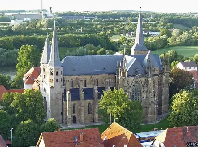
Attraction · after 72 km
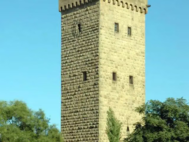
i
Photo: K. Jähne · Wikimedia Commons · CC BY-SA 3.0View the photo on Wikimedia CommonsAttraction · after 86.2 km
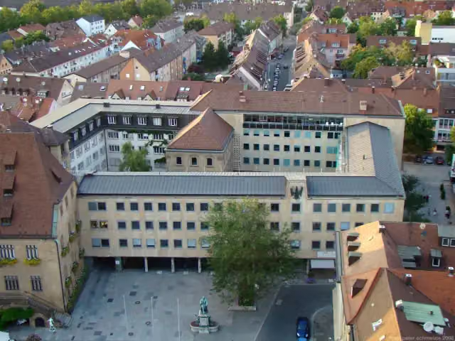
i
Photo: Peter Schmelzle · Wikimedia Commons · CC BY-SA 3.0View the photo on Wikimedia CommonsAttraction · after 86.7 km
Stages (5)
Elevation and terrain
- Up
- ↑ 4,684 m
- Down
- ↓ 4,491 m
- Highest point
- 563 m
- Lowest point
- 137 m
- 5-10% slope · 28.3 km
- 10-15% slope · 3.5 km
- 2 stairs
Elevation from Copernicus GLO-30 (European Union and ESA), smoothed.
produced using Copernicus WorldDEM-30 © DLR e.V. 2010-2014 and © Airbus Defence and Space GmbH 2014-2018 provided under COPERNICUS by the European Union and ESA; all rights reserved
Way types
691.4 km in total- Road: 195.8 km
- Track: 188.5 km
- Path: 123.6 km
- Street: 121.4 km
- Busy road: 34.9 km
- Cycle path: 15.5 km
- Footpath (walk your bike): 9.5 km
- Steps (carry your bike): 2 stairs
- Unknown: 200 m
Surfaces
691.4 km in total- Asphalt: 492.6 km
- Gravel: 54.5 km
- Paved: 38.2 km
- Unpaved: 1.6 km
- Natural: 150 m
- Unknown: 102.3 km
About the cycle route Burgenstraße
Updated on 14 November 2026, with data from OpenStreetMap, the AHN and Copernicus.
Where do you cycle?
Burgenstraße is a cycle route of 691.4 km that starts in Mosbach. It does not end where it starts. You start in Mannheim and finish in Bayreuth. Along the way you pass Loretto-Denkmal (after 0 m), Schifffahrtsmuseum (after 12.1 km) and Hoher Turm (after 31.6 km).
How hard is the route?
You climb 4,684 m in total and descend 4,491 m. There are 2 flights of steps along the way. Allow ± 9:15 h per stage, without breaks. Per stage the level is hard.
What roads do you cycle on?
The longest part is road (195.8 km), track (188.5 km) and path (123.6 km). Of the surface, 492.6 km asphalt and 54.5 km gravel. For 102.3 km the surface is not known.
Pitstops along the way
Within 100 metres of the route there are 2,135 benches, 32 water fountains and refill points, 93 public toilets, 22 bike pumps and 10 honesty boxes and farm vending machines. The longest stretch without a toilet is 71.1 km. The Outdoor Pitstop app navigates you there.
Cycle routes nearby
6- Odenwald-Madonnen-WegHard · From A to B180.5 km
- Main-Neckar-RadwegModerate · From A to B57 km
- Deutsche Fachwerkstraße Abschnitt Mosbach-BietigheimModerate · From A to B40.9 km
- Paneuropa Route - part Germany 1Hard · From A to B378.5 km
- Neckartal-Radweg Teil 4Hard · From A to B104.3 km
- Odenwald-Madonnen-Weg WestrouteEasy · From A to B23.3 km
Sights nearby
Within 10 km of the route, best known first.
- 1
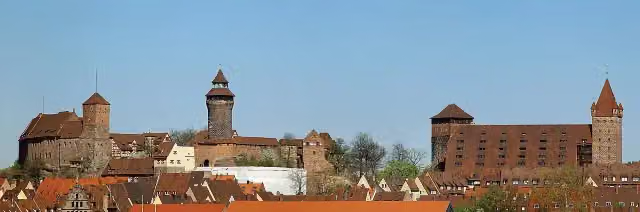 Imperial CastleAttraction · 410 m from the route
- 2
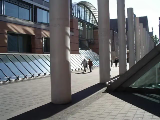 Germanisches NationalmuseumMuseum · 611 m from the route
- 3
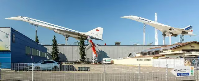 Technik-Museum SinsheimMuseum · 564 m from the route
- 4
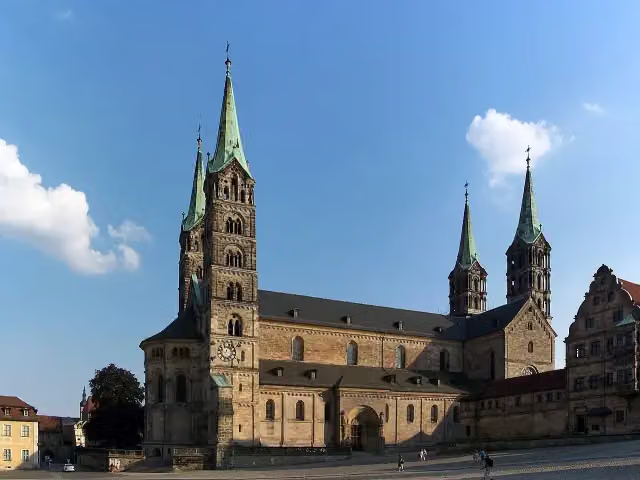 Bamberg CathedralAttraction · 787 m from the route
- 5
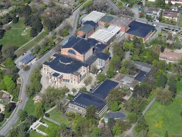 FestspielhausAttraction · 1.4 km from the route
- 6
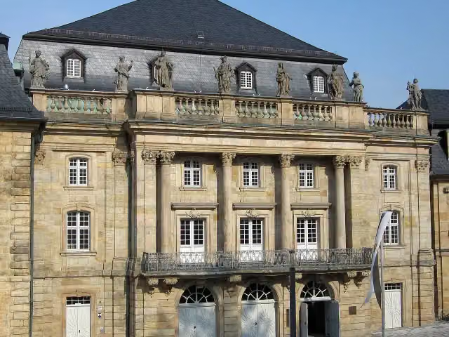 Margravial Opera HouseAttraction · 275 m from the route
- 7
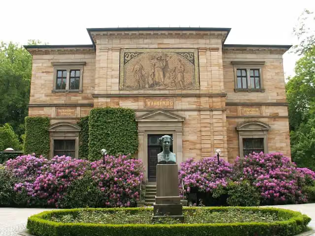 Richard-Wagner-MuseumMuseum · 548 m from the route
- 8
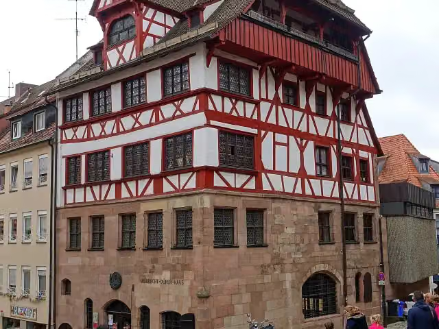 Albrecht Dürer's HouseMuseum · 293 m from the route
- 9
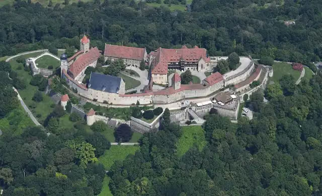 Veste CoburgCastle · 182 m from the route
- 10
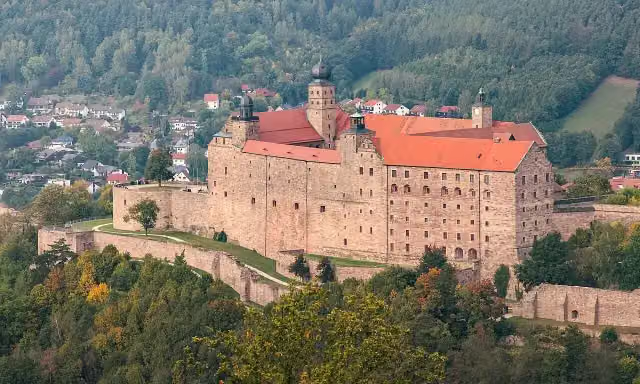 PlassenburgAttraction · 517 m from the route
- 11
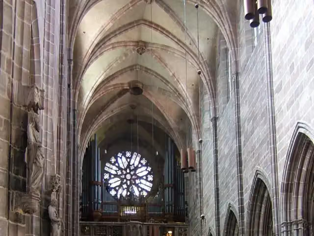 St. Lawrence ChurchAttraction · 247 m from the route
- 12
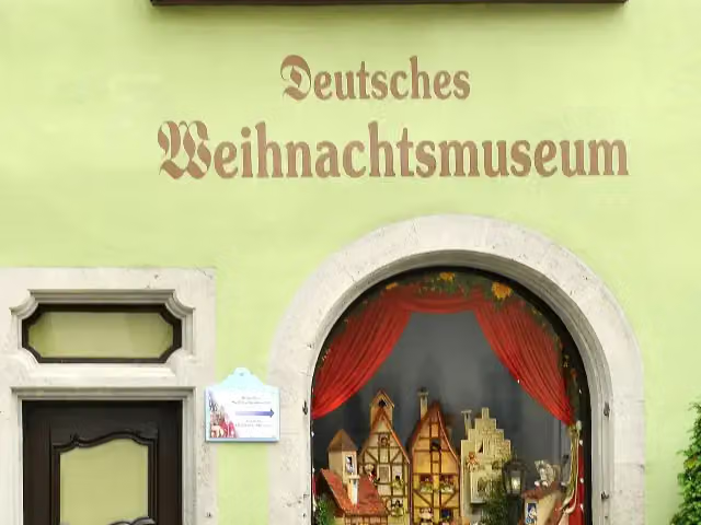 German Christmas MuseumMuseum · 308 m from the route
- 13
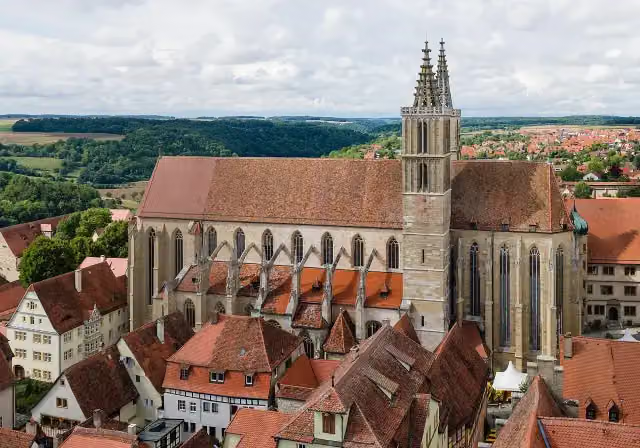 St James' ChurchAttraction · 310 m from the route
- 14
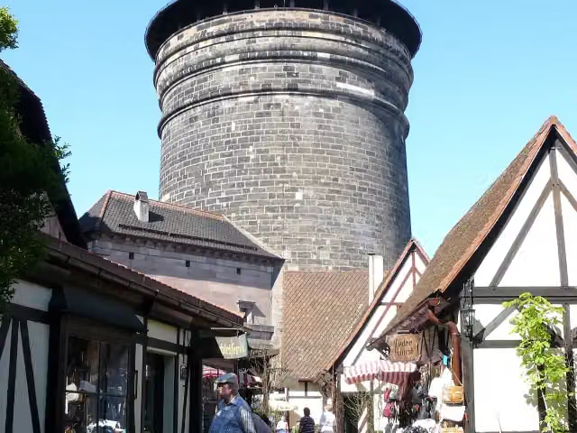 Craftmen's CourtyardAttraction · 593 m from the route
- 15
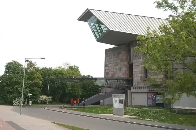 Documentation Center Nazi Party Rally GroundsMuseum · 2.3 km from the route
- 16
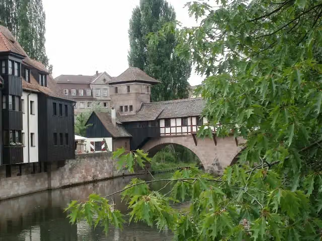 hangman's houseMuseum · 144 m from the route
- 17
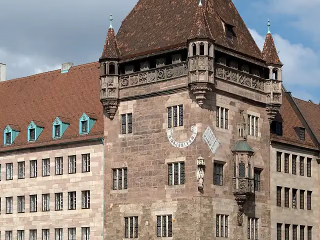 Nassauer HausAttraction · 244 m from the route
- 18
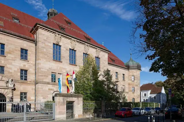 Memorium Nuremberg TrialsMuseum · 294 m from the route
- 19
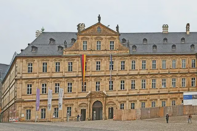 Neue ResidenzMuseum · 758 m from the route
- 20
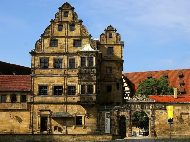 Old CourtAttraction · 811 m from the route
- 21
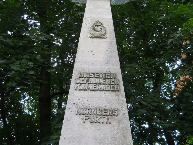 Pilot MonumentMemorial · 2 km from the route
- 22
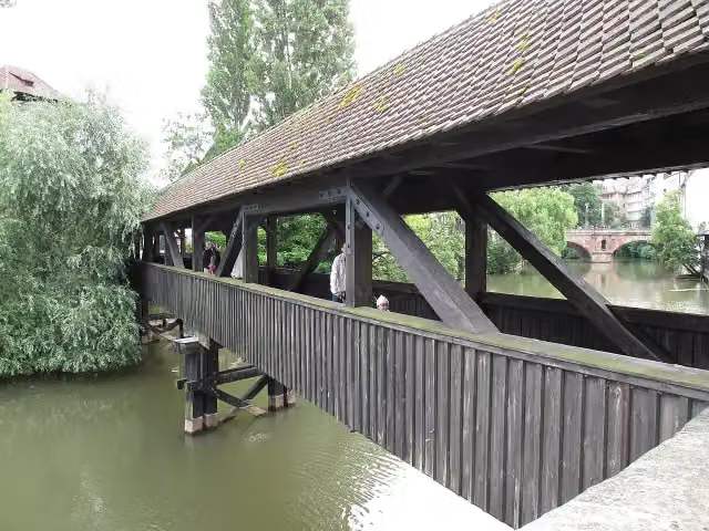 Hangman's BridgeAttraction · 160 m from the route
- 23
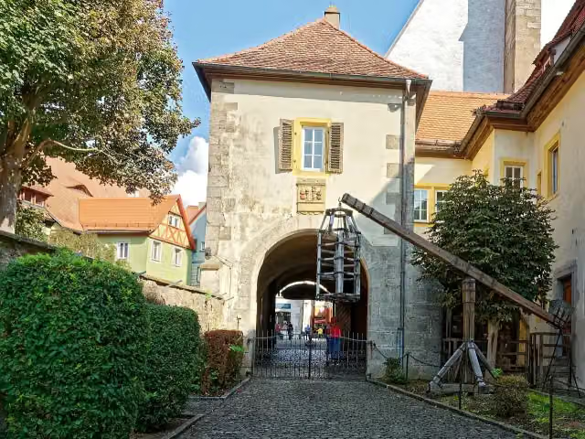 Medieval Crime MuseumMuseum · 179 m from the route
- 24
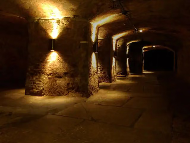 Historic Rock-cut CellarsAttraction · 224 m from the route
- 25
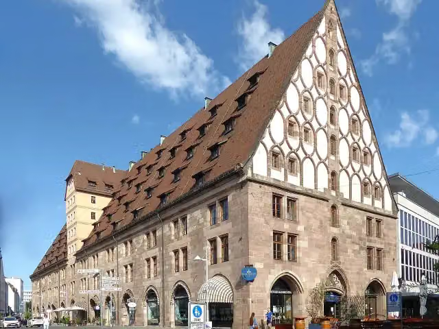 Former Customs HouseAttraction · 420 m from the route
Explore more
Frequently asked questions
How long is Burgenstraße?
Burgenstraße is 691.4 km long, in 5 parts of 138.3 km on average. Allow ± 9:15 h per part of riding: 15 km an hour, without breaks.
Is this route a circular ride?
No, the route runs from Mannheim to Bayreuth.
Where does this route start?
The route starts in Mosbach.
How hard is this route?
Hard per stage, with 937 m per stage of climbing.
Are there toilets along this route?
Yes, there are 93 public toilets within 100 m of the route. The longest stretch without a toilet is 71.1 km.
Can you fill up with water along this route?
Yes, there are 32 water fountains and refill points within 100 m of the route.
What is there to see along this route?
Along the way you pass Loretto-Denkmal, Schifffahrtsmuseum and Hoher Turm.
Can I download this route as a GPX file?
Yes. Sign in with your Outdoor Pitstop account and choose Download GPX at the top of this page: 10 routes a month for free, unlimited with Pro.
Starting point
More routes from this place
Route data © OpenStreetMap contributors





