 Outdoor Pitstop
Cycle route · Bad Wimpfen · Updated on 14 November 2026
Neckartal-Radweg Teil 4 cycle route
Neckartal-Radweg Teil 4 is a cycle route of 104.3 km from Bad Wimpfen. Along the way you'll find 704 benches, 15 water fountains and refill points, 33 public toilets and 11 bike pumps.
i
i
i
The route step by step
From start to finish, with what you pass along the way and the distance in between.
- 104.3 km
- ± 6:55 h
- ↑ 262 m · ↓ 322 m
- Hard
- From A to B
- Regional route
- Colour of the signs
Start in Bad Wimpfen
0 kmAt the start: public toilet.
174 m · 10 benches
Public toilet and bike pump
174 m11.7 km · 76 benches

Schifffahrtsmuseum
11.8 kmMuseum
399 m · 2 benches
Water point
12.2 km13.2 km · 20 benches
Public toilet
25.5 km4.3 km · 4 benches
Bike pump
29.8 km1.1 km · 7 benches
2 public toilets
30.9 km429 m · 23 benches
Public toilet
31.3 km4.3 km · 9 benches
Water point
35.6 km5.3 km · 2 benches
Water point
40.9 km1 km · 10 benches
Water point
41.9 km1.5 km · 12 benches
2 public toilets and bike pump
43.4 km2.6 km · 14 benches
Water point
46 km6.3 km · 12 benches
Public toilet and water point
52.3 km695 m · 14 benches
Public toilet
53 km9.3 km · 36 benches
Water point
62.3 km3.9 km · 16 benches
3 water fountains and refill points
66.2 km222 m · 8 benches
Public toilet, water point and bike pump
66.4 km394 m · 14 benches
Public toilet
66.8 km154 m
Public toilet
66.9 km288 m · 2 benches
Public toilet and water point
67.2 km4.4 km · 24 benches
Bike pump
71.6 km3.4 km · 38 benches
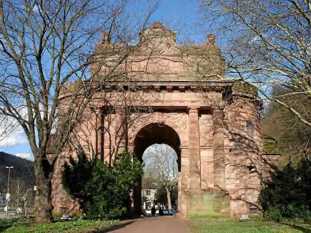
Karlstor
75 kmPublic toilet
369 m · 7 benches
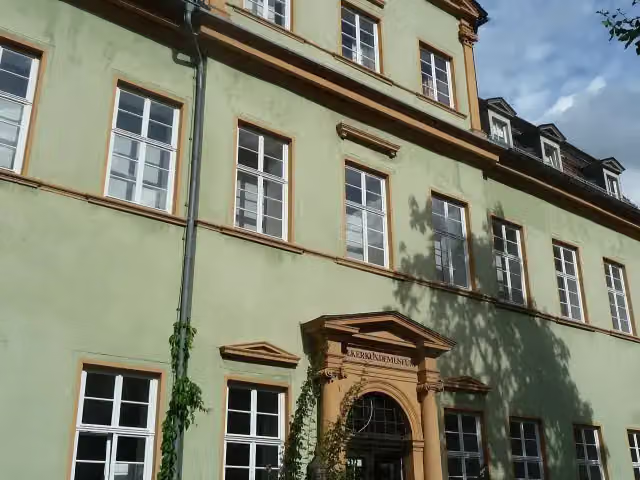
Völkerkundemuseum
75.4 kmPublic toilet
372 m · 29 benches
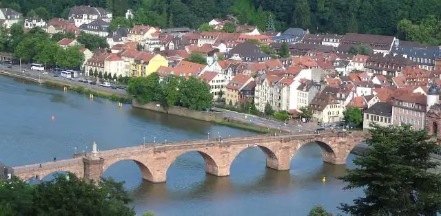
Alte Brücke
75.8 kmAttraction
185 m · 6 benches
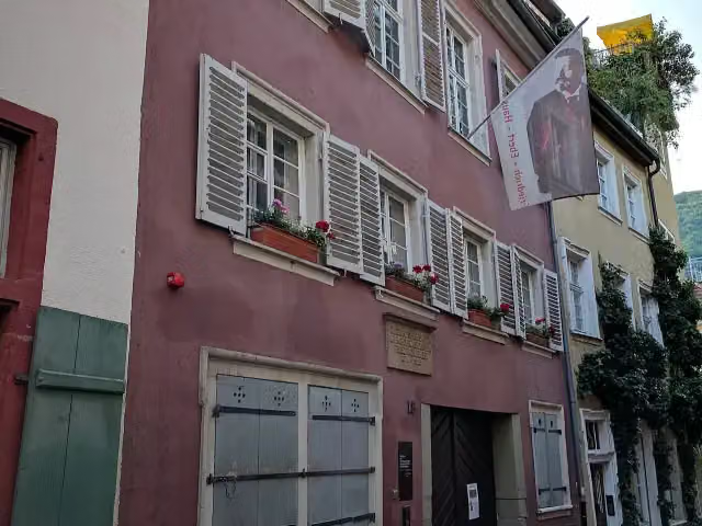
Reichspräsident-Friedrich-Ebert-Gedenkstätte
76 kmMuseum
238 m · 4 benches
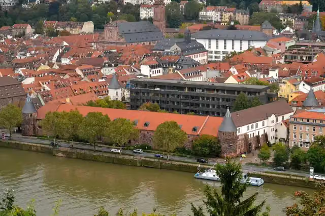
Marstall and 1 more
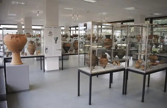
76.2 kmAntikensammlung der Universität Heidelberg
381 m · 19 benches
Public toilet and bike pump
76.6 km213 m · 6 benches
Public toilet
76.8 km231 m · 6 benches
Public toilet
77 km
Show the other 15 steps
296 m · 8 benches
Public toilet and bike pump
77.3 km159 m · 15 benches
Public toilet
77.5 km313 m · 30 benches
Public toilet
77.8 km295 m · 31 benches
Public toilet
78.1 km1.6 km · 53 benches
5 public toilets and bike pump
79.6 km242 m · 3 benches
Public toilet
79.9 km784 m
Bike pump
80.7 km4.4 km · 7 benches
Public toilet
85.1 km3.6 km · 20 benches
Public toilet and bike pump
88.7 km9.4 km · 56 benches
Public toilet and water point
98.1 km635 m · 8 benches
Fernmeldeturm Mannheim
98.8 kmPublic toilet
1.7 km · 10 benches
Water point
100.4 km236 m · 2 benches
Water point and bike pump
100.6 km971 m · 29 benches
Marchivum
101.6 kmMuseum
2.7 km · bench
Finish
104.3 km
Longest stretch without a toilet: 25.2 kmBetween 261 m and 25.5 km there is no public toilet within 100 m of the route.
The route with the pitstops and sights within 100 m of it.
9 sights along the way
In the order you pass them. With the Outdoor Pitstop app you hear their story on the spot. 1 more along the route are on the map.

Museum · after 11.8 km
i
Photo: Beckstet · Wikimedia Commons · CC BY-SA 3.0View the photo on Wikimedia CommonsAttraction · after 75.2 km
i
Photo: Immanuel Giel · Wikimedia Commons · CC BY-SA 3.0View the photo on Wikimedia CommonsMuseum · after 75.4 km
i
Photo: BishkekRocks · Wikimedia Commons · CC BY-SA 3.0View the photo on Wikimedia CommonsAttraction · after 75.8 km
i
Photo: Magnus Manske · Wikimedia Commons · CC BY-SA 3.0View the photo on Wikimedia CommonsMuseum · after 76 km
i
Photo: ptwo · Wikimedia Commons · CC BY 2.0View the photo on Wikimedia CommonsAttraction · after 76.2 km
i
Photo: Martin Rulsch, Wikimedia Commons · Wikimedia Commons · CC BY-SA 4.0View the photo on Wikimedia CommonsMuseum · after 76.2 km
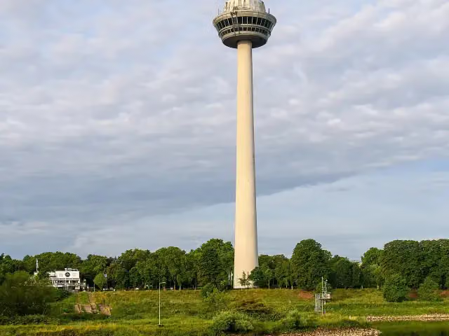
i
Photo: Achim Lammerts (Syntaxys) · Wikimedia Commons · CC BY-SA 4.0View the photo on Wikimedia CommonsAttraction · after 98.8 km
Elevation and terrain
- Up
- ↑ 262 m
- Down
- ↓ 322 m
- Highest point
- 171 m
- Lowest point
- 90 m
- 5-10% slope · 524 m
- 1 flight of stairs
Elevation from Copernicus GLO-30 (European Union and ESA), smoothed.
produced using Copernicus WorldDEM-30 © DLR e.V. 2010-2014 and © Airbus Defence and Space GmbH 2014-2018 provided under COPERNICUS by the European Union and ESA; all rights reserved
Way types
104.3 km in total- Track: 36 km
- Path: 22.7 km
- Street: 22.6 km
- Road: 14.3 km
- Footpath (walk your bike): 3.6 km
- Busy road: 2.6 km
- Cycle path: 2 km
- Steps (carry your bike): 1 flight of stairs
- Unknown: 200 m
Surfaces
104.3 km in total- Asphalt: 86.4 km
- Gravel: 13.3 km
- Paved: 3.5 km
- Unknown: 900 m
About the cycle route Neckartal-Radweg Teil 4
Updated on 14 November 2026, with data from OpenStreetMap, the AHN and Copernicus.
Where do you cycle?
Neckartal-Radweg Teil 4 is a cycle route of 104.3 km that starts in Bad Wimpfen. It does not end where it starts. You start in Bad Wipfen and finish in Mannheim. Along the way you pass Schifffahrtsmuseum (after 11.8 km), Karlstor (after 75.2 km) and Völkerkundemuseum (after 75.4 km).
How hard is the route?
You climb 262 m in total and descend 322 m. There is 1 flight of steps along the way. Allow ± 6:55 h, without breaks. The level is hard.
What roads do you cycle on?
The longest part is track (36 km), path (22.7 km) and street (22.6 km). Of the surface, 86.4 km asphalt and 13.3 km gravel. For 900 m the surface is not known.
Pitstops along the way
Within 100 metres of the route there are 704 benches, 15 water fountains and refill points, 33 public toilets and 11 bike pumps. The longest stretch without a toilet is 25.2 km. The Outdoor Pitstop app navigates you there.
Part of Neckartal-Radweg
Website of the routeCycle routes nearby
6- Paneuropa Route - part Germany 1Hard · From A to B378.5 km
- Deutsche Fachwerkstraße Abschnitt Mosbach-BietigheimModerate · From A to B40.9 km
- Neckartal-Radweg Teil 3Hard · From A to B86.6 km
- Burgenstraße Abschnitt 1Hard · From A to B86.9 km
- Radschnellweg Bad Wimpfen - HeilbronnEasy · From A to B1.8 km
- Alb-Neckar-RadwegHard · From A to B212.2 km
Sights nearby
Within 10 km of the route, best known first.
- 1
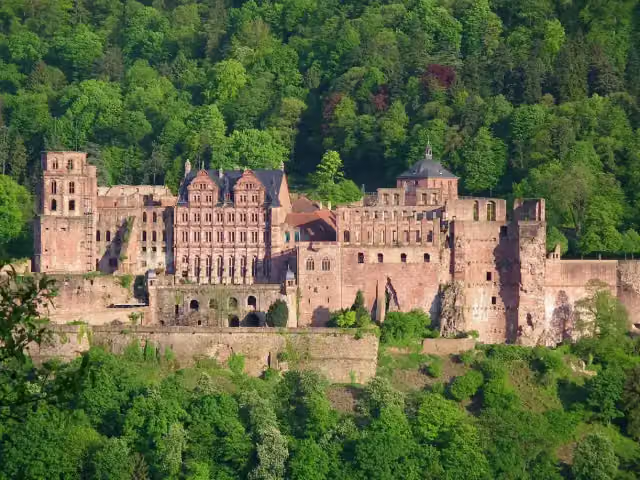 Heidelberg CastleAttraction · 411 m from the route
- 2
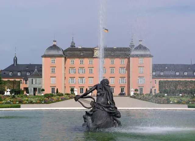 Schloss SchwetzingenCastle · 7.5 km from the route
- 3
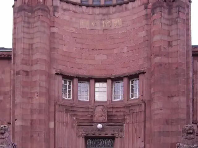 Kunsthalle MannheimMuseum · 972 m from the route
- 4
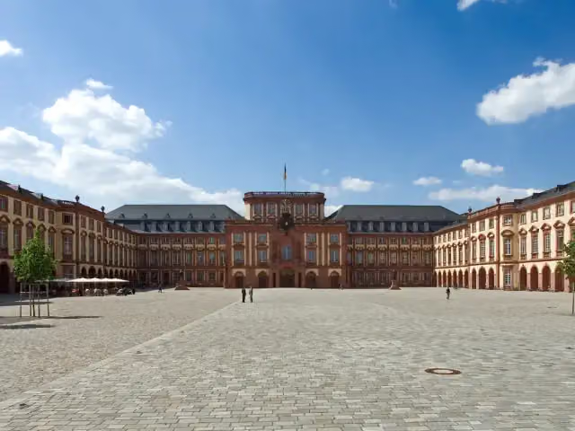 Schloss MannheimAttraction · 1.3 km from the route
- 5
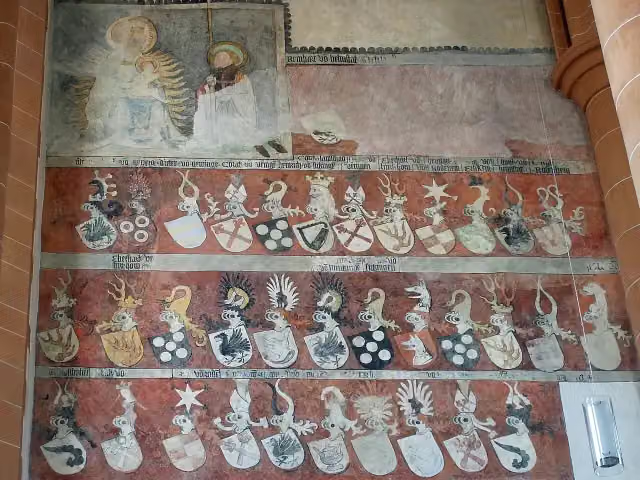 Church of the Holy SpiritAttraction · 139 m from the route
- 6
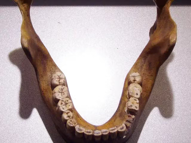 Fundstelle Homo heidelbergensisArchaeological site · 5 km from the route
- 7
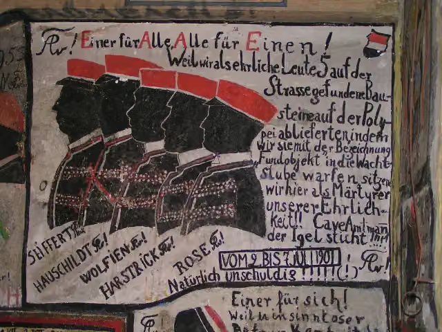 Historischer StudentenkarzerMuseum · 178 m from the route
- 8
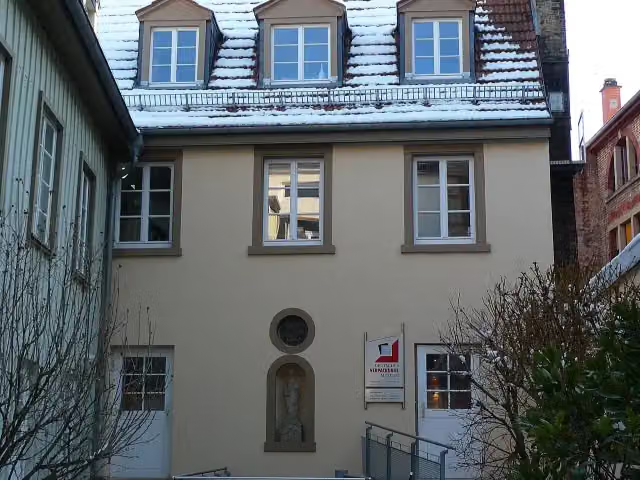 Deutsches VerpackungsmuseumMuseum · 196 m from the route
- 9
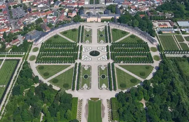 Schwetzingen Palace GardensAttraction · 7.9 km from the route
- 10
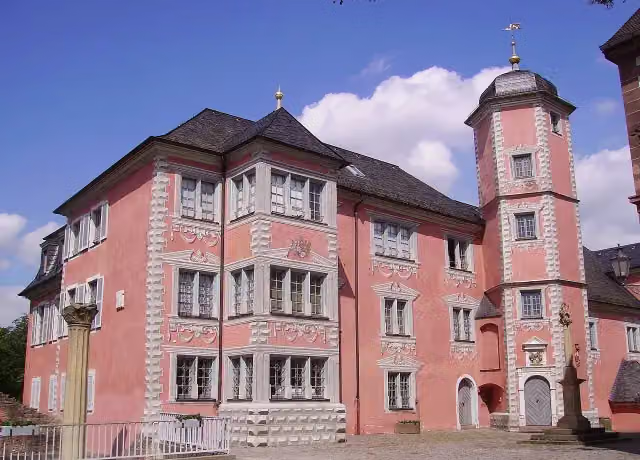 Lobdengau-MuseumMuseum · 102 m from the route
- 11
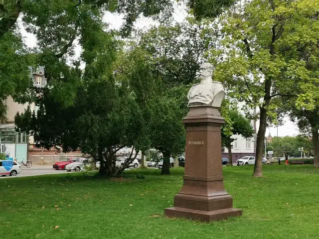 BismarckMemorial · 108 m from the route
- 12
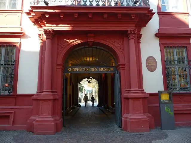 Kurpfälzisches MuseumMuseum · 115 m from the route
- 13
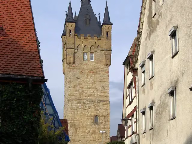 Blauer TurmViewpoint · 120 m from the route
- 14
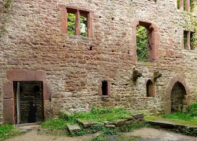 Burg StolzeneckCastle · 125 m from the route
- 15
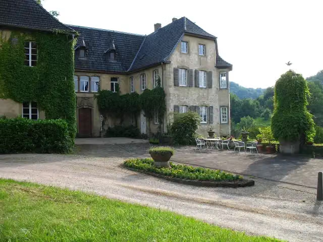 Schloss HochhausenCastle · 128 m from the route
- 16
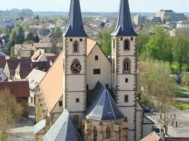 StadtkircheAttraction · 154 m from the route
- 17
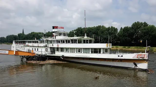 Museumsschiff MannheimMuseum · 161 m from the route
- 18
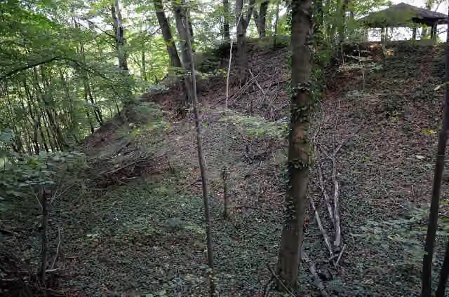 Burg LandsehrCastle · 172 m from the route
- 19
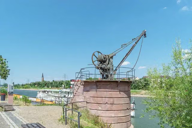 NeckarkranAttraction · 186 m from the route
- 20
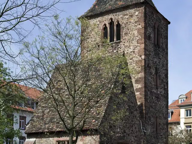 St. Johannes der TäuferRuins · 200 m from the route
- 21
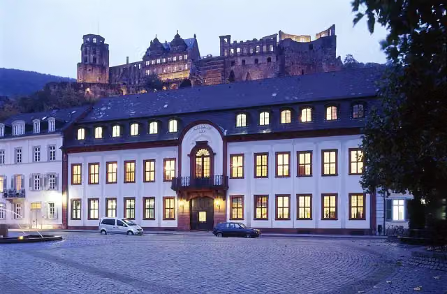 Großherzogliches PalaisCastle · 208 m from the route
- 22
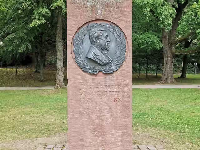 Joseph Victor von ScheffelMemorial · 212 m from the route
- 23
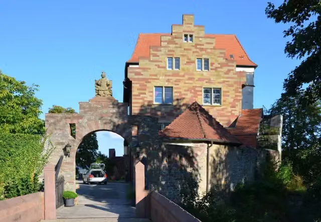 Schloss NeuburgCastle · 213 m from the route
- 24
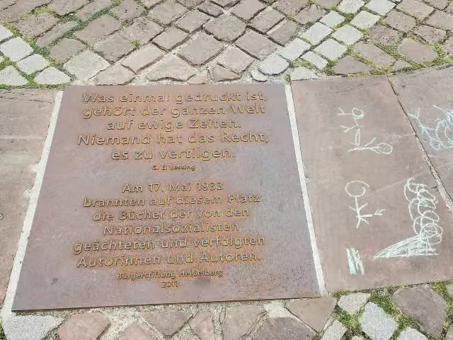 MemorialMemorial · 216 m from the route
- 25
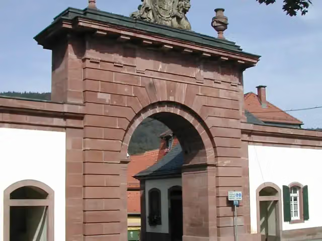 StadttorAttraction · 232 m from the route
Explore more
More cycle routes around Bad Wimpfen
Frequently asked questions
How long is Neckartal-Radweg Teil 4?
Neckartal-Radweg Teil 4 is 104.3 km long. Allow ± 6:55 h of riding: 15 km an hour, without breaks.
Is this route a circular ride?
No, the route runs from Bad Wipfen to Mannheim.
Where does this route start?
The route starts in Bad Wimpfen.
How hard is this route?
Hard, with 262 m of climbing.
Are there toilets along this route?
Yes, there are 33 public toilets within 100 m of the route. The longest stretch without a toilet is 25.2 km.
Can you fill up with water along this route?
Yes, there are 15 water fountains and refill points within 100 m of the route.
What is there to see along this route?
Along the way you pass Schifffahrtsmuseum, Karlstor and Völkerkundemuseum.
Can I download this route as a GPX file?
Yes. Sign in with your Outdoor Pitstop account and choose Download GPX at the top of this page: 10 routes a month for free, unlimited with Pro.
Starting point
More routes from this place
Route data © OpenStreetMap contributors





