 Outdoor Pitstop
Cycle route · Villingen-Schwenningen · Updated on 14 November 2026
Neckartal-Radweg cycle route
Neckartal-Radweg is a cycle route of 369.1 km from Villingen-Schwenningen. Along the way you'll find 2,085 benches, 31 water fountains and refill points, 75 public toilets, 44 bike pumps and 1 honesty box.
i
i
i
The route step by step
From start to finish, with what you pass along the way and the distance in between.
- 369.1 km
- ± 4:55 h per stage
- ↑ 700 m · ↓ 1,314 m
- Hard per stage
- From A to B
- Regional route
- Colour of the signs
Start in Villingen-Schwenningen
0 kmAt the start: 2 public toilets.
8.7 km · 83 benches
3 public toilets
8.7 km18.2 km · 39 benches
Public toilet
27 km261 m · bench
Water point
27.2 km272 m

Dominikanermuseum
27.5 km2 public toilets
402 m · 4 benches
Public toilet
27.9 km5.4 km · 6 benches
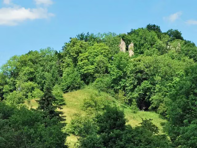
Ruine Neckarburg
33.3 kmCastle
201 m
Water point
33.5 km13.2 km · 33 benches
Public toilet
46.7 km12.7 km · 71 benches
Public toilet and bike pump
59.4 km4.5 km · 11 benches
Water point
63.9 km10 km · 13 benches
Eisenbahn-Erlebniswelt Horb
73.9 kmMuseum
24.7 km · 71 benches
Diözesanmuseum
98.5 kmPublic toilet, water point and 3 bike pumps
202 m · 7 benches
3 public toilets, water point and 2 bike pumps
98.7 km239 m · 6 benches
Water point
99 km9.9 km · 41 benches
Public toilet
108.9 km1 km · 55 benches
Bike pump
109.9 km566 m · 31 benches
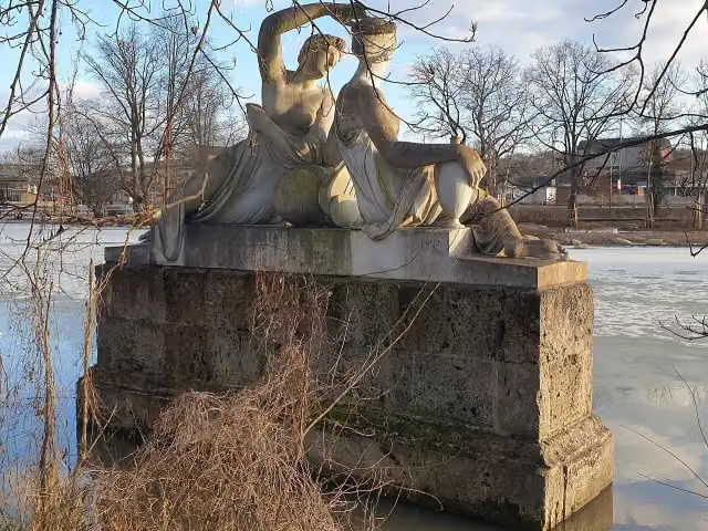
Danneckersche Nymphengruppe
110.5 kmWater point
426 m · 44 benches
Bike pump
110.9 km184 m · 16 benches
Public toilet and bike pump
111.1 km833 m · 19 benches
Bike pump
111.9 km1.7 km · 30 benches
Bike pump
113.7 km295 m · 14 benches
Bike pump
114 km4.7 km · 4 benches
Bike pump
118.7 km1.6 km
Public toilet
120.2 km10.4 km · 10 benches
Bike pump
130.7 km657 m · 11 benches
Bike pump
131.3 km182 m · 3 benches
Public toilet
131.5 km736 m · 10 benches
Water point
132.2 km178 m · 4 benches
Bike pump
132.4 km
Show the other 89 steps
1.6 km · 5 benches
Bike pump
134 km3.5 km · 10 benches
Public toilet
137.5 km3.6 km · 41 benches
Water point
141.1 km1.4 km · 10 benches
Public toilet
142.4 km3.6 km · 11 benches
Bike pump
146 km5.3 km · 19 benches
Public toilet and bike pump
151.4 km1.8 km · 14 benches
Public toilet
153.1 km411 m · bench
Hundertwasserhaus "Wohnen unterm Regenturm"
153.6 kmWater point and bike pump
720 m · 5 benches
Public toilet
154.3 km9.1 km · 59 benches
Villa Merkel
163.4 kmPublic toilet
348 m · 7 benches
Pliensauturm
163.7 kmAttraction
668 m · 31 benches
Public toilet
164.4 km4.2 km · 38 benches
Public toilet, water point and bike pump
168.6 km2.7 km · 17 benches
Public toilet
171.3 km457 m · 3 benches
Public toilet
171.8 km2.6 km · 13 benches
Public toilet
174.4 km494 m
Public toilet
174.9 km263 m
2 bike pumps
175.2 km352 m · 4 benches
Public toilet
175.5 km1.1 km · 30 benches
2 water fountains and refill points
176.6 km6 km · 21 benches
Public toilet and bike pump
182.6 km642 m · 2 benches
Water point
183.3 km4.2 km · 14 benches
Public toilet and bike pump
187.5 km508 m · 5 benches
Historische Schmiede Neckargröningen
188 kmMuseum
6.1 km · 16 benches
Public toilet
194.1 km1.4 km · 3 benches
Bike pump
195.5 km276 m · 9 benches
Water point
195.8 km646 m · 27 benches
Public toilet
196.4 km5.7 km · 8 benches
Museum im Adler
202.2 kmMuseum
5.9 km · 7 benches
Bike pump
208.1 km2.4 km · 13 benches
Bike pump
210.5 km1.2 km · 4 benches
Bike pump
211.7 km8.4 km · 20 benches
Public toilet
220.1 km5.2 km · 19 benches
Honesty box
225.2 km2.8 km · 4 benches
Public toilet
228.1 km874 m · 10 benches
Public toilet
228.9 km5.3 km · 17 benches
Public toilet
234.2 km1.4 km · 10 benches
Water point and bike pump
235.6 km319 m · 6 benches
Grafenburg
235.9 kmCastle
24.7 km · 98 benches
Bike pump
260.6 km423 m · 11 benches
Stiftskirche St. Peter
261 kmAttraction
834 m · 15 benches
2 public toilets and bike pump
261.9 km11.7 km · 80 benches
Schifffahrtsmuseum
273.6 kmMuseum
399 m · 2 benches
Water point
274 km13.2 km · 20 benches
Public toilet
287.2 km4.3 km · 4 benches
Bike pump
291.5 km1.1 km · 7 benches
2 public toilets
292.6 km429 m · 23 benches
Public toilet
293.1 km4.3 km · 9 benches
Water point
297.4 km5.3 km · 2 benches
Water point
302.6 km1 km · 10 benches
Water point
303.7 km1.5 km · 12 benches
2 public toilets and bike pump
305.2 km2.6 km · 14 benches
Water point
307.8 km6.3 km · 12 benches
Public toilet and water point
314.1 km695 m · 14 benches
Public toilet
314.7 km9.3 km · 36 benches
Water point
324 km3.9 km · 16 benches
3 water fountains and refill points
327.9 km222 m · 8 benches
Public toilet, water point and bike pump
328.1 km394 m · 14 benches
Public toilet
328.5 km154 m
Public toilet
328.7 km288 m · 2 benches
Public toilet and water point
329 km4.4 km · 24 benches
Bike pump
333.4 km3.4 km · 38 benches
Karlstor
336.8 kmPublic toilet
369 m · 7 benches
Völkerkundemuseum
337.1 kmPublic toilet
372 m · 29 benches
Alte Brücke
337.5 kmAttraction
185 m · 6 benches
Reichspräsident-Friedrich-Ebert-Gedenkstätte
337.7 kmMuseum
238 m · 4 benches
Marstall and 1 more
337.9 kmAntikensammlung der Universität Heidelberg
381 m · 19 benches
Public toilet and bike pump
338.3 km213 m · 6 benches
Public toilet
338.5 km231 m · 6 benches
Public toilet
338.8 km296 m · 8 benches
Public toilet and bike pump
339.1 km159 m · 15 benches
Public toilet
339.2 km313 m · 30 benches
Public toilet
339.5 km295 m · 31 benches
Public toilet
339.8 km1.6 km · 53 benches
5 public toilets and bike pump
341.4 km242 m · 3 benches
Public toilet
341.6 km784 m
Bike pump
342.4 km4.4 km · 7 benches
Public toilet
346.8 km3.6 km · 20 benches
Public toilet and bike pump
350.4 km9.4 km · 56 benches
Public toilet and water point
359.9 km635 m · 8 benches
Fernmeldeturm Mannheim
360.5 kmPublic toilet
1.7 km · 10 benches
Water point
362.2 km236 m · 2 benches
Water point and bike pump
362.4 km971 m · 29 benches
Marchivum
363.4 kmMuseum
3.9 km · 11 benches
Götzenturm
367.3 kmBike pump
862 m · 43 benches
Public toilet and bike pump
368.1 km156 m · 6 benches
Public toilet
368.3 km395 m · 16 benches
Gedenkstein Landesgartenschau 1985
368.7 kmMemorial
428 m · 4 benches
Finish
369.1 km
Longest stretch without a toilet: 39.3 kmBetween 59.4 km and 98.7 km there is no public toilet within 100 m of the route.
The route with the water points, toilets and sights within 100 m of it.
23 sights along the way
In the order you pass them. With the Outdoor Pitstop app you hear their story on the spot. 15 more along the route are on the map.
i
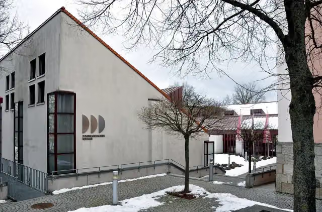
Photo: Photo: Andreas Praefcke · Wikimedia Commons · CC BY 3.0View the photo on Wikimedia CommonsMuseum · after 27.5 km
i
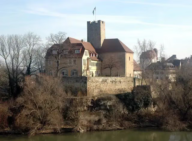
Photo: Harke · Wikimedia Commons · CC BY-SA 3.0View the photo on Wikimedia CommonsCastle · after 33.3 km

Museum · after 73.9 km
Museum · after 98.5 km
i
Photo: Windharp · Wikimedia Commons · CC BY-SA 4.0View the photo on Wikimedia CommonsMemorial · after 110.5 km
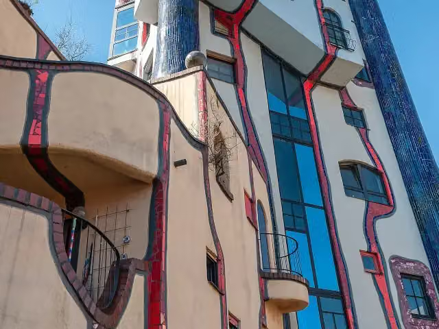
i
Photo: Pjt56 · Wikimedia Commons · CC BY-SA 4.0View the photo on Wikimedia CommonsAttraction · after 153.6 km
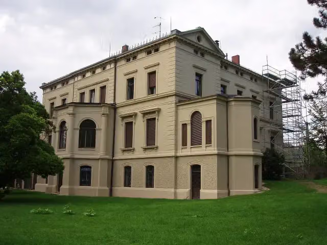
Museum · after 163.4 km
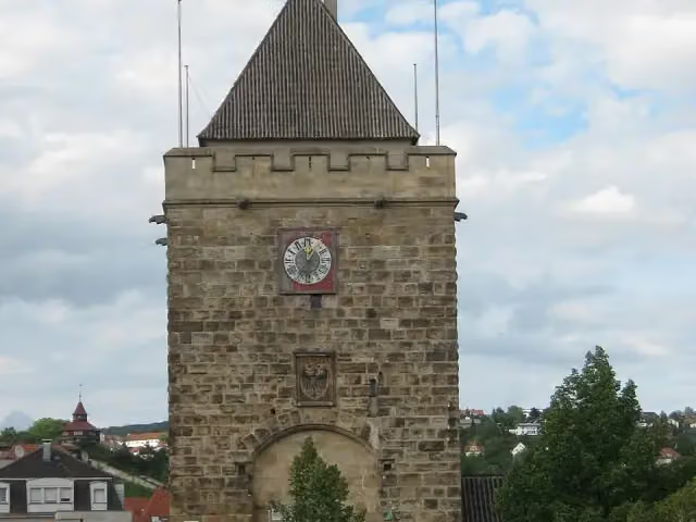
i
Photo: Vux · Wikimedia Commons · CC BY-SA 3.0View the photo on Wikimedia CommonsAttraction · after 163.7 km
Stages (5)
Elevation and terrain
- Up
- ↑ 700 m
- Down
- ↓ 1,314 m
- Highest point
- 759 m
- Lowest point
- 90 m
- 5-10% slope · 3 km
- 1 flight of stairs
Elevation from Copernicus GLO-30 (European Union and ESA), smoothed.
produced using Copernicus WorldDEM-30 © DLR e.V. 2010-2014 and © Airbus Defence and Space GmbH 2014-2018 provided under COPERNICUS by the European Union and ESA; all rights reserved
Way types
369.1 km in total- Track: 133 km
- Path: 85.8 km
- Street: 76.6 km
- Road: 38.5 km
- Cycle path: 16.2 km
- Footpath (walk your bike): 13.2 km
- Busy road: 4.5 km
- Steps (carry your bike): 1 flight of stairs
- Unknown: 200 m
Surfaces
369.1 km in total- Asphalt: 323.3 km
- Gravel: 31.7 km
- Paved: 11.9 km
- Unknown: 1.2 km
About the cycle route Neckartal-Radweg
Updated on 14 November 2026, with data from OpenStreetMap, the AHN and Copernicus.
Where do you cycle?
Neckartal-Radweg is a cycle route of 369.1 km that starts in Villingen-Schwenningen. It does not end where it starts. You start in Villingen-Schwenningen and finish in Mannheim. Along the way you pass Dominikanermuseum (after 27.5 km), Ruine Neckarburg (after 33.3 km) and Eisenbahn-Erlebniswelt Horb (after 73.9 km).
How hard is the route?
You climb 700 m in total and descend 1,314 m. There is 1 flight of steps along the way. Allow ± 4:55 h per stage, without breaks. Per stage the level is hard.
What roads do you cycle on?
The longest part is track (133 km), path (85.8 km) and street (76.6 km). Of the surface, 323.3 km asphalt and 31.7 km gravel. For 1.2 km the surface is not known.
Pitstops along the way
Within 100 metres of the route there are 2,085 benches, 31 water fountains and refill points, 75 public toilets, 44 bike pumps and 1 honesty box. The longest stretch without a toilet is 39.3 km. The Outdoor Pitstop app navigates you there.
The Neckartal-Radweg (Neckar Valley Cycle Route) is a 369 km long-distance cycle route along the Neckar, from Villingen-Schwenningen to Mannheim. It runs via Rottweil, Horb, Rottenburg and Tübingen, then via Nürtingen, Esslingen, Marbach and Besigheim to Heilbronn, and through Bad Wimpfen and Heidelberg to the Rhine. Sights on the way include the Neckarburg ruin, the Old Bridge and the Karlstor gate in Heidelberg, and the Marchivum in Mannheim. Nearly 90% is asphalt, with short stretches of fine gravel and forest track. We know of 75 toilets, 44 bike pumps and 31 drinking water points along the route.
Source: Wikipedia (CC BY-SA)
Cycle routes nearby
3Sights nearby
Within 10 km of the route, best known first.
- 1
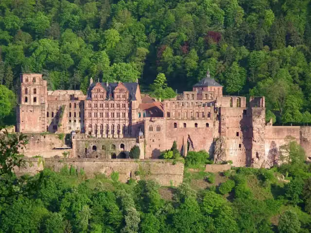 Heidelberg CastleAttraction · 411 m from the route
- 2
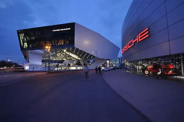 Porsche MuseumMuseum · 4 km from the route
- 3
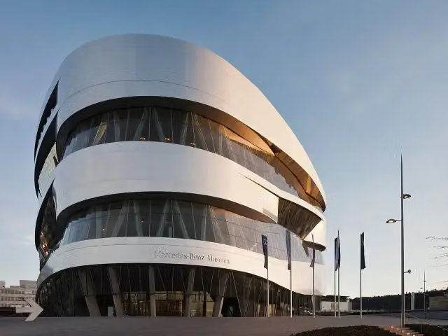 Mercedes-Benz MuseumMuseum · 311 m from the route
- 4
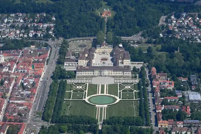 Schloss LudwigsburgAttraction · 1.9 km from the route
- 5
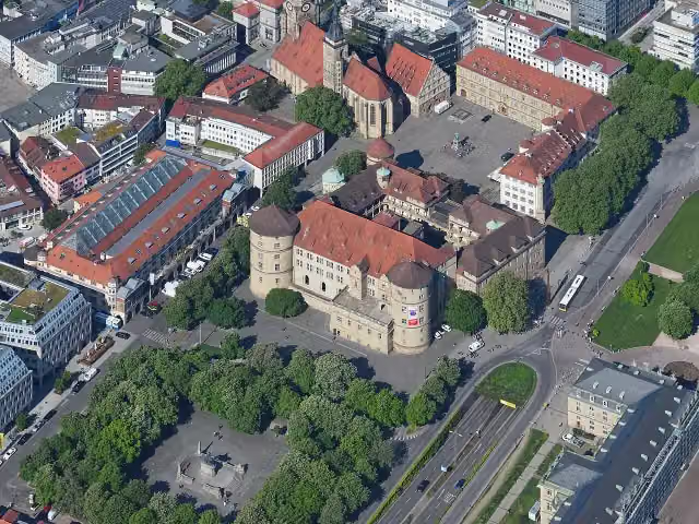 Altes SchlossCastle · 3.4 km from the route
- 6
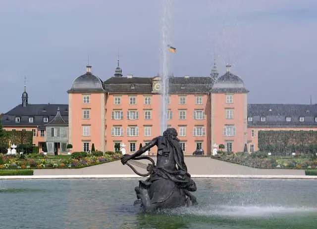 Schloss SchwetzingenCastle · 7.5 km from the route
- 7
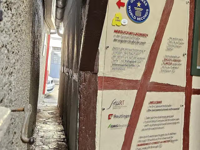 SpreuerhofstraßeAttraction · 7 km from the route
- 8
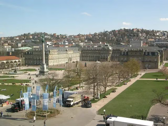 Neues SchlossCastle · 3.2 km from the route
- 9
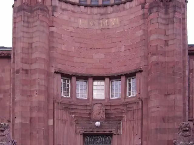 Kunsthalle MannheimMuseum · 972 m from the route
- 10
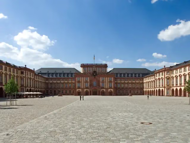 Schloss MannheimAttraction · 1.3 km from the route
- 11
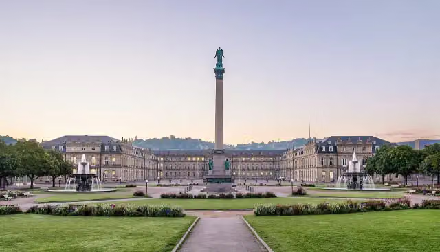 SchlossplatzAttraction · 3.3 km from the route
- 12
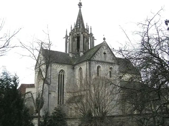 Kloster BebenhausenMuseum · 4.3 km from the route
- 13
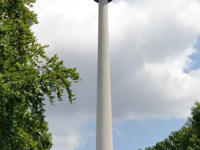 Fernsehturm StuttgartAttraction · 4.5 km from the route
- 14
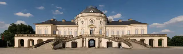 Schloss SolitudeAttraction · 9.4 km from the route
- 15
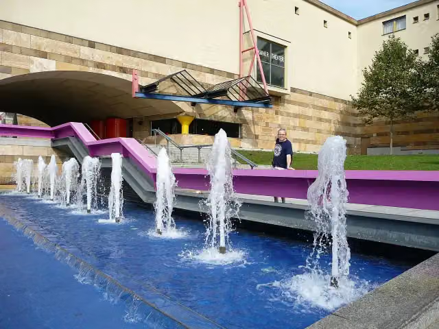 StaatsgalerieMuseum · 2.7 km from the route
- 16
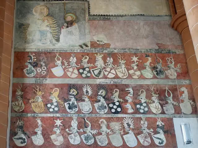 Church of the Holy SpiritAttraction · 139 m from the route
- 17
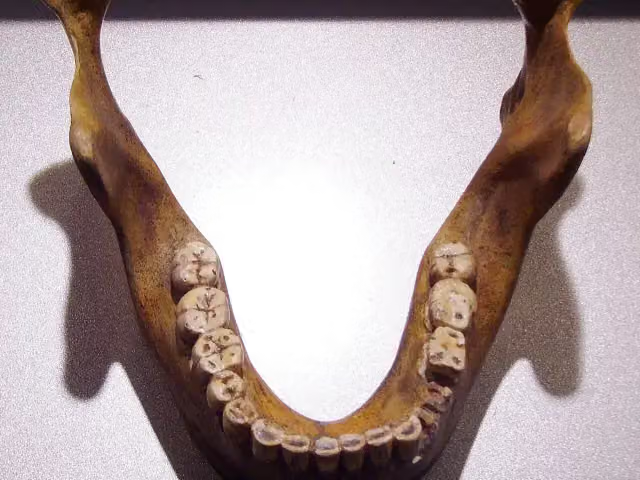 Fundstelle Homo heidelbergensisArchaeological site · 5 km from the route
- 18
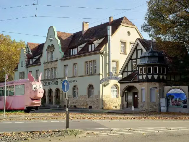 SchweinemuseumMuseum · 521 m from the route
- 19
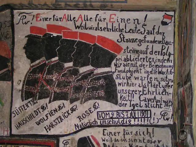 Historischer StudentenkarzerMuseum · 178 m from the route
- 20
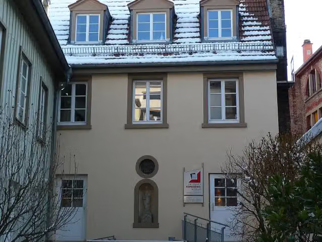 Deutsches VerpackungsmuseumMuseum · 196 m from the route
- 21
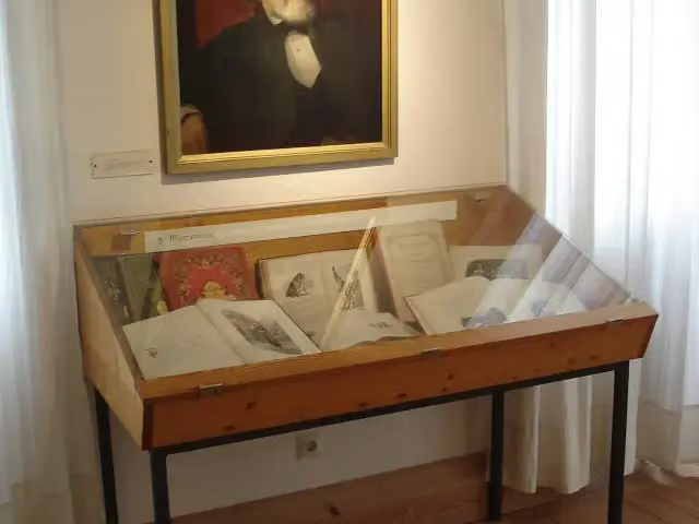 Berthold-Auerbach-MuseumMuseum · 812 m from the route
- 22
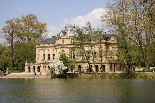 Monrepos CastleAttraction · 2.7 km from the route
- 23
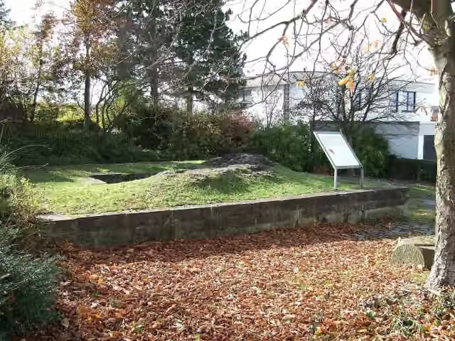 Burg FrauenbergCastle · 3.7 km from the route
- 24
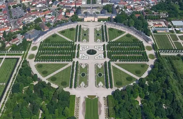 Schwetzingen Palace GardensAttraction · 7.9 km from the route
- 25
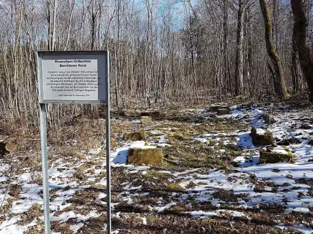 Ehemaliges Gräberfeld, Bernhäuser ForstMemorial · 8.2 km from the route
Explore more
More cycle routes around Villingen-Schwenningen
Frequently asked questions
How long is Neckartal-Radweg?
Neckartal-Radweg is 369.1 km long, in 5 parts of 73.8 km on average. Allow ± 4:55 h per part of riding: 15 km an hour, without breaks.
Is this route a circular ride?
No, the route runs from Villingen-Schwenningen to Mannheim.
Where does this route start?
The route starts in Villingen-Schwenningen.
How hard is this route?
Hard per stage, with 140 m per stage of climbing.
Are there toilets along this route?
Yes, there are 75 public toilets within 100 m of the route. The longest stretch without a toilet is 39.3 km.
Can you fill up with water along this route?
Yes, there are 31 water fountains and refill points within 100 m of the route.
What is there to see along this route?
Along the way you pass Dominikanermuseum, Ruine Neckarburg and Eisenbahn-Erlebniswelt Horb.
Can I download this route as a GPX file?
Yes. Sign in with your Outdoor Pitstop account and choose Download GPX at the top of this page: 10 routes a month for free, unlimited with Pro.
Starting point
More routes from this place
Route data © OpenStreetMap contributors





