 Outdoor Pitstop
Cycle route · Kehl · Updated on 14 November 2026
Paneuropa Route - part Germany 1 cycle route
Paneuropa Route - part Germany 1 is a cycle route of 378.5 km from Kehl. Along the way you'll find 1,517 benches, 16 water fountains and refill points, 60 public toilets, 33 bike pumps and 4 honesty boxes and farm vending machines.
i
i
i
The route step by step
From start to finish, with what you pass along the way and the distance in between.
- 378.5 km
- ± 25:15 h
- ↑ 1,741 m · ↓ 1,406 m
- Hard
- From A to B
- International route
Start in Kehl
0 km48.8 km · 54 benches
Water point
48.8 km7.5 km · 2 benches
2 public toilets and bike pump
56.3 km3.4 km · 24 benches
Public toilet
59.7 km2.9 km · 6 benches
Public toilet
62.6 km4.4 km · 10 benches
Bike pump
67 km663 m · 7 benches
Honesty box
67.7 km7.6 km · 11 benches
Public toilet
75.3 km419 m · 16 benches

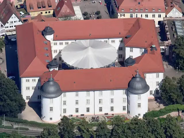
Schloss Ettlingen
75.7 km2 public toilets
213 m · 33 benches
2 public toilets and water point
75.9 km343 m · 14 benches
Public toilet
76.3 km518 m · 24 benches
Public toilet and 2 water fountains and refill points
76.8 km353 m · 15 benches
Water point
77.1 km1.4 km
2 honesty boxes and farm vending machines
78.6 km2.8 km · 4 benches
Water point
81.4 km3.2 km · 23 benches
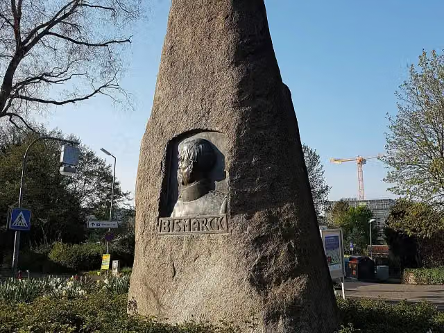
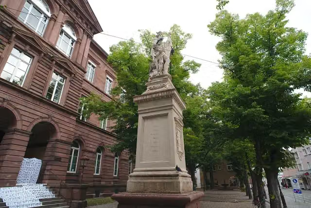
Bismarckdenkmal and 1 more
84.6 kmKriegerdenkmal and water point
524 m · 10 benches
Water point
85.1 km13.5 km · 33 benches
Bike pump
98.6 km181 m · 8 benches
Public toilet
98.7 km976 m
Public toilet
99.7 km19 km · 76 benches
Public toilet, water point and 2 bike pumps
118.7 km2.5 km · 6 benches
Public toilet and bike pump
121.2 km2 km · 2 benches
Public toilet
123.2 km5 km · 14 benches
2 public toilets
128.2 km315 m
Bike pump
128.6 km1.2 km · 4 benches
Burg Wersau
129.7 kmArchaeological site
437 m · 2 benches
Bike pump
130.1 km2.1 km · 5 benches
Bike pump
132.2 km2.3 km · 7 benches
2 public toilets and bike pump
134.6 km475 m · 4 benches
Turmuhrenmuseum Neulußheim
135 kmMuseum
Show the other 66 steps
1.4 km · bench
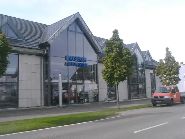
Museum Autovision
136.5 kmMuseum
10.9 km · 4 benches
Public toilet and bike pump
147.3 km1.7 km · 3 benches
3 public toilets
149.1 km1.2 km · 6 benches
3 public toilets
150.2 km515 m · 25 benches
2 public toilets
150.7 km4.4 km · 34 benches
2 public toilets
155.1 km834 m · 2 benches
Public toilet
156 km580 m · 17 benches
Public toilet and water point
156.6 km3 km · 7 benches
Bike pump
159.5 km4 km · 27 benches
Public toilet
163.6 km1.7 km · 52 benches
Public toilet
165.3 km1.8 km · 26 benches
Public toilet
167.1 km234 m · 3 benches
Bike pump
167.3 km189 m · 7 benches
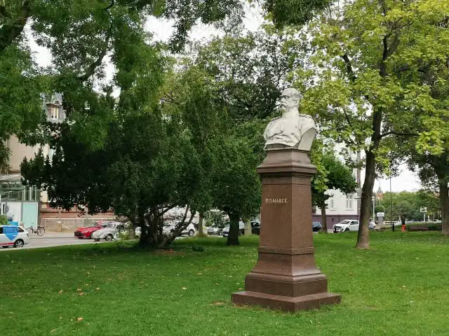
Dulger-Brunnen and 1 more
167.5 kmBismarck and public toilet
451 m · 40 benches
Public toilet and bike pump
167.9 km3.8 km · 53 benches
Bike pump
171.7 km1.2 km · 20 benches
Public toilet
172.9 km331 m · 15 benches
Public toilet
173.2 km8.8 km · 76 benches
Public toilet and bike pump
182 km9.9 km · 55 benches
Public toilet
191.9 km683 m · 14 benches
Public toilet and water point
192.6 km6.3 km · 12 benches
Water point
198.9 km2.6 km · 14 benches
2 public toilets and bike pump
201.4 km1.5 km · 12 benches
Water point
203 km1 km · 10 benches
Water point
204 km5.3 km · 2 benches
Water point
209.3 km4.3 km · 9 benches
Public toilet
213.6 km419 m · 22 benches
2 public toilets
214 km1.1 km · 8 benches
Bike pump
215.1 km4.3 km · 4 benches
Public toilet
219.4 km13.2 km · 20 benches
Water point
232.7 km400 m · 2 benches
Schifffahrtsmuseum
233.1 kmMuseum
11.6 km · 70 benches
2 public toilets and bike pump
244.7 km971 m · 23 benches
Stiftskirche St. Peter
245.6 kmAttraction
423 m · 11 benches
Bike pump
246 km13.7 km · 68 benches
Götzenturm
259.7 kmBike pump
594 m · 11 benches
Rathaus Heilbronn and 1 more
260.3 kmHafenmarktturm
358 m · 4 benches
Kunsthalle Vogelmann
260.7 kmMuseum
6.1 km · 26 benches
Bike pump
266.8 km293 m · 13 benches
Public toilet
267.1 km1.7 km · 26 benches
Bike pump
268.8 km2.6 km · 21 benches
Bike pump
271.4 km2.5 km · 15 benches
Honesty box
273.8 km1.1 km · bench
Bike pump
275 km747 m
Schloss Affaltrach
275.7 kmCastle
899 m · 10 benches
Bike pump
276.6 km11.1 km · 15 benches
Public toilet
287.7 km2.1 km · 6 benches
Public toilet
289.8 km243 m · 4 benches
Bike pump
290 km781 m · 18 benches
Bike pump
290.8 km683 m
Public toilet
291.5 km561 m · 9 benches
Public toilet
292.1 km5 km · 16 benches
Neuenstein Castle
297 kmPublic toilet
305 m · 18 benches
Bürgerturm Neuenstein
297.4 kmViewpoint
7.2 km · 26 benches
Public toilet
304.5 km9.2 km · 28 benches
Public toilet
313.7 km4.5 km · 9 benches
Johanniterkirche
318.2 kmMuseum
298 m
Public toilet
318.5 km8.9 km · 17 benches
Bike pump
327.5 km6.7 km · 3 benches
Bike pump
334.2 km544 m · bench
Rabbinatsmuseum Braunsbach
334.8 kmBike pump
11 km · 10 benches
Bike pump
345.8 km1.4 km · 4 benches
Deutsches Automuseum Schloss Langenburg and 1 more
347.2 kmCarl-Julius-Weber-Gedenkstube and bike pump
9.7 km · 8 benches
Ehemalige Burg Billingsbach
356.9 kmArchaeological site
9.4 km · 4 benches
Schloss Schrozberg
366.3 kmCastle
12.2 km · 6 benches
Finish
378.5 km
Longest stretch without a toilet: 59.9 kmBetween 318.5 km and 378.5 km there is no public toilet within 100 m of the route.
The route with the pitstops and sights within 100 m of it.
23 sights along the way
In the order you pass them. With the Outdoor Pitstop app you hear their story on the spot. 15 more along the route are on the map.
i
Photo: Carsten Steger · Wikimedia Commons · CC BY-SA 4.0View the photo on Wikimedia CommonsCastle · after 75.7 km
i
Photo: Joschi71 · Wikimedia Commons · CC BY-SA 4.0View the photo on Wikimedia CommonsMemorial · after 84.6 km
i
Photo: Flocci Nivis · Wikimedia Commons · CC BY-SA 4.0View the photo on Wikimedia CommonsMemorial · after 84.7 km

Archaeological site · after 129.7 km
Museum · after 135 km
i
Photo: Wleiter · Wikimedia Commons · CC BY-SA 4.0View the photo on Wikimedia CommonsMuseum · after 136.5 km
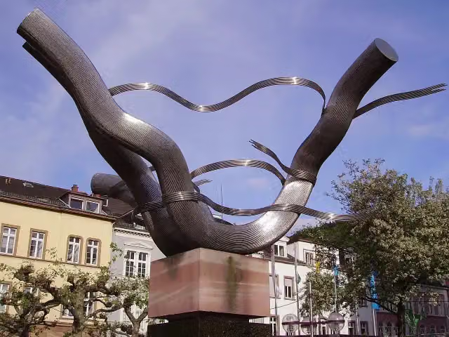
Memorial · after 167.5 km
i
Photo: Z thomas · Wikimedia Commons · CC BY-SA 4.0View the photo on Wikimedia CommonsMemorial · after 167.6 km
Elevation and terrain
- Up
- ↑ 1,741 m
- Down
- ↓ 1,406 m
- Highest point
- 503 m
- Lowest point
- 93 m
- 5-10% slope · 7.6 km
- 2 stairs
Elevation from Copernicus GLO-30 (European Union and ESA), smoothed.
produced using Copernicus WorldDEM-30 © DLR e.V. 2010-2014 and © Airbus Defence and Space GmbH 2014-2018 provided under COPERNICUS by the European Union and ESA; all rights reserved
Way types
378.5 km in total- Track: 147.7 km
- Road: 83.1 km
- Street: 70.6 km
- Path: 47.4 km
- Busy road: 18.1 km
- Footpath (walk your bike): 7.1 km
- Cycle path: 3.4 km
- Steps (carry your bike): 2 stairs
- Unknown: 250 m
Surfaces
378.5 km in total- Asphalt: 310 km
- Gravel: 45.2 km
- Paved: 16.1 km
- Unpaved: 150 m
- Unknown: 6.1 km
About the cycle route Paneuropa Route - part Germany 1
Updated on 14 November 2026, with data from OpenStreetMap, the AHN and Copernicus.
Where do you cycle?
Paneuropa Route - part Germany 1 is a cycle route of 378.5 km that starts in Kehl. It does not end where it starts. You start in Kehl DE/FR and finish in Rothenburg ob der Tauber. Along the way you pass Schloss Ettlingen (after 75.7 km), Bismarckdenkmal (after 84.6 km) and Kriegerdenkmal (after 84.7 km).
How hard is the route?
You climb 1,741 m in total and descend 1,406 m. There are 2 flights of steps along the way. Allow ± 25:15 h, without breaks. The level is hard.
What roads do you cycle on?
The longest part is track (147.7 km), road (83.1 km) and street (70.6 km). Of the surface, 310 km asphalt and 45.2 km gravel. For 6.1 km the surface is not known.
Pitstops along the way
Within 100 metres of the route there are 1,517 benches, 16 water fountains and refill points, 60 public toilets, 33 bike pumps and 4 honesty boxes and farm vending machines. The longest stretch without a toilet is 59.9 km. The Outdoor Pitstop app navigates you there.
Part of Paneuropa Route
Cycle routes nearby
1Sights nearby
Within 10 km of the route, best known first.
- 1
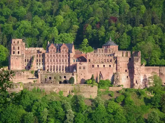 Heidelberg CastleAttraction · 584 m from the route
- 2
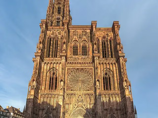 Cathedral of Our LadyAttraction · 5.3 km from the route
- 3
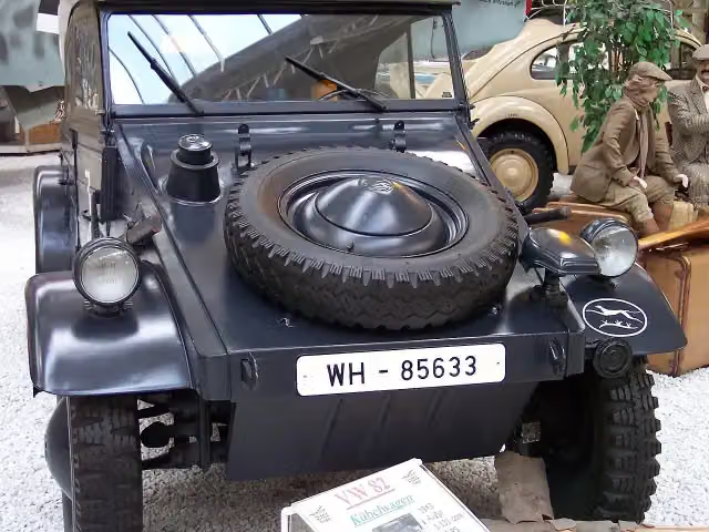 Technik Museum SpeyerMuseum · 1.1 km from the route
- 4
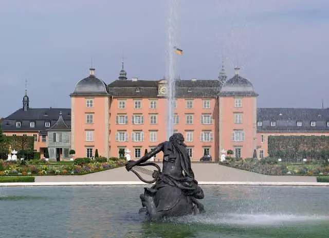 Schloss SchwetzingenCastle · 258 m from the route
- 5
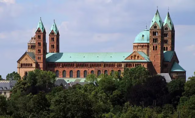 Dom zu SpeyerAttraction · 1.1 km from the route
- 6
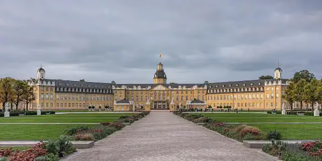 Karlsruhe PalaceCastle · 4.9 km from the route
- 7
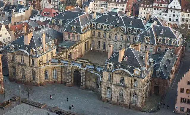 Palais RohanCastle · 5.2 km from the route
- 8
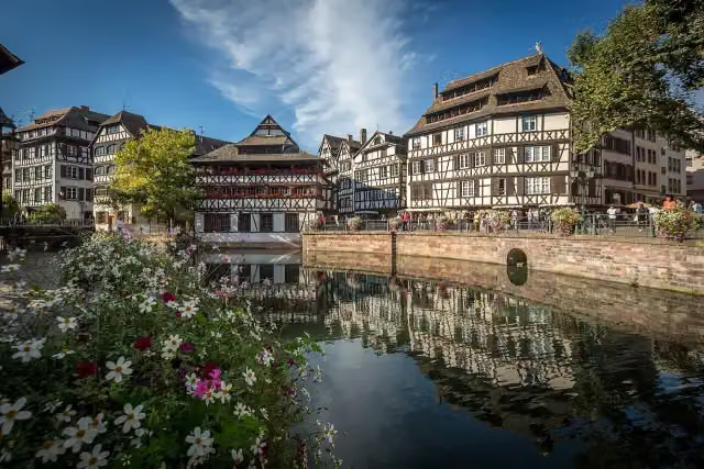 Little FranceAttraction · 5.9 km from the route
- 9
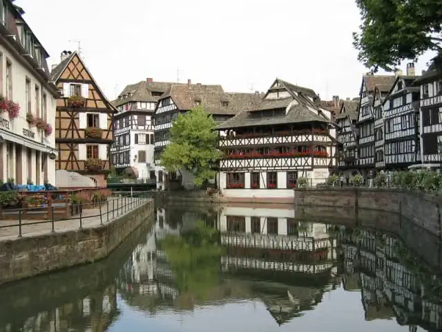 Grande ÎleAttraction · 5.5 km from the route
- 10
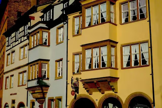 Musée AlsacienMuseum · 5.3 km from the route
- 11
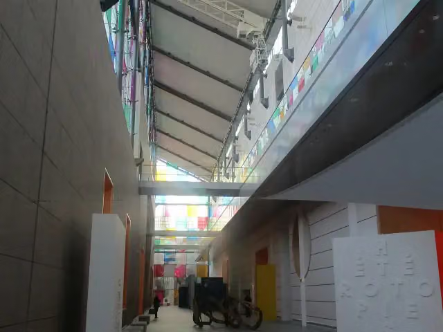 Museum of Modern and Contemporary ArtMuseum · 6.4 km from the route
- 12
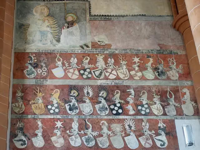 Church of the Holy SpiritAttraction · 319 m from the route
- 13
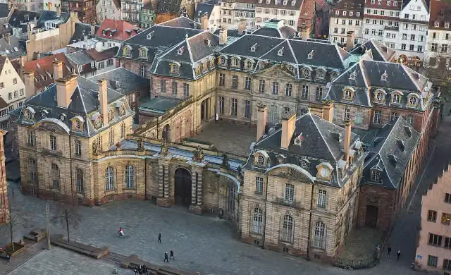 Musée des Beaux-ArtsMuseum · 5.2 km from the route
- 14
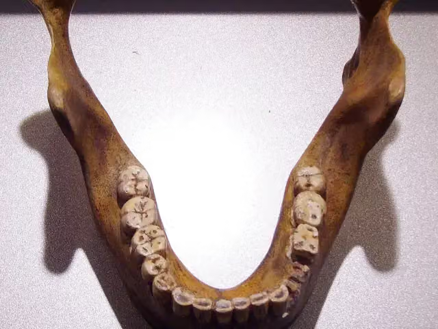 Fundstelle Homo heidelbergensisArchaeological site · 5.1 km from the route
- 15
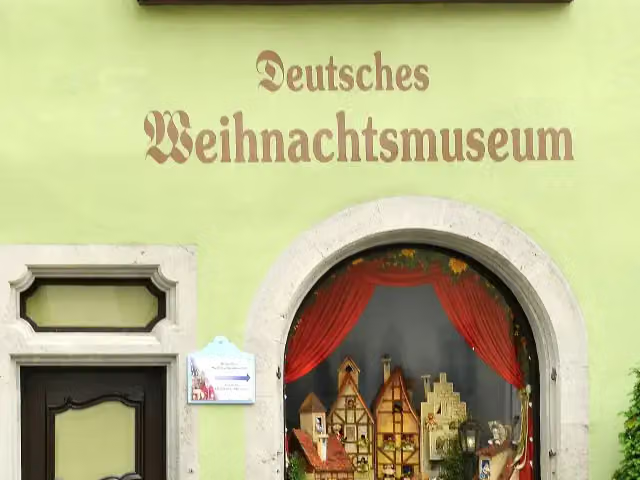 German Christmas MuseumMuseum · 5.3 km from the route
- 16
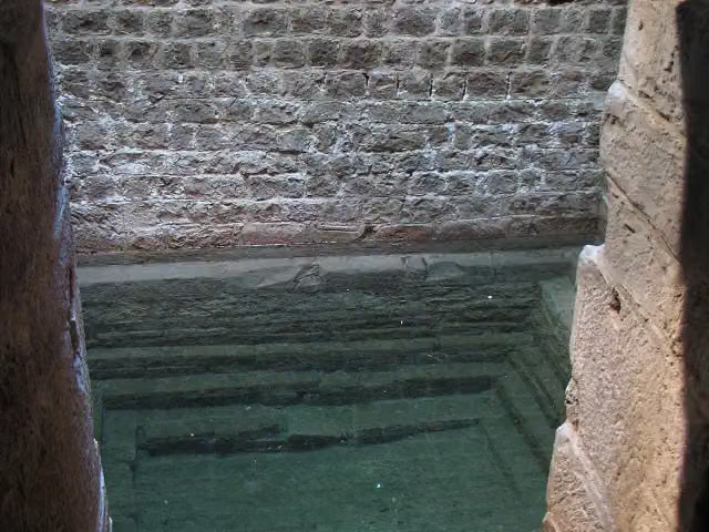 Speyer Jewry-CoutAttraction · 1.3 km from the route
- 17
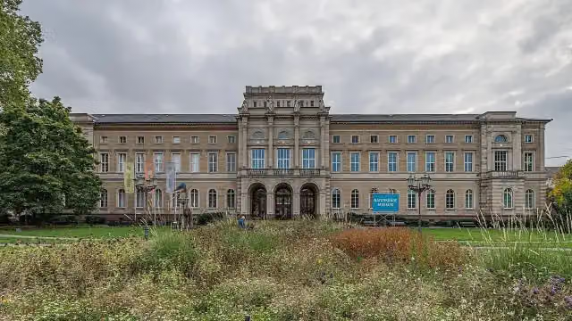 Staatliches Museum für NaturkundeMuseum · 5 km from the route
- 18
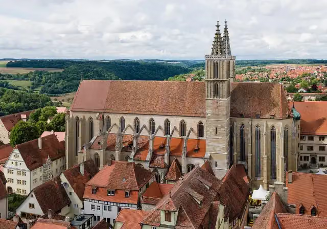 St James' ChurchAttraction · 5.3 km from the route
- 19
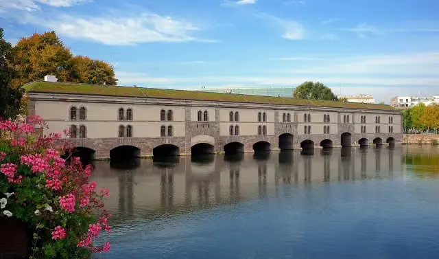 Vauban DamAttraction · 6.2 km from the route
- 20
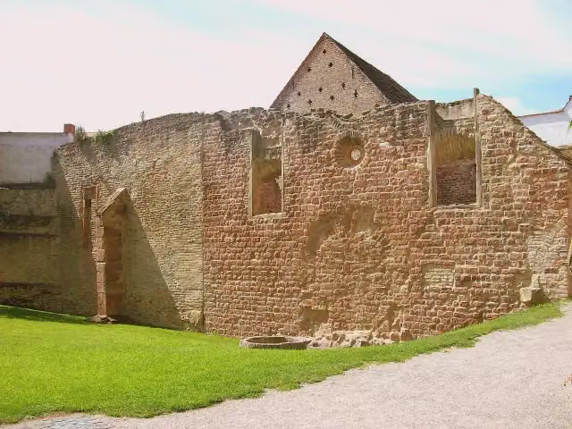 Synagogue SpeyerRuins · 1.4 km from the route
- 21
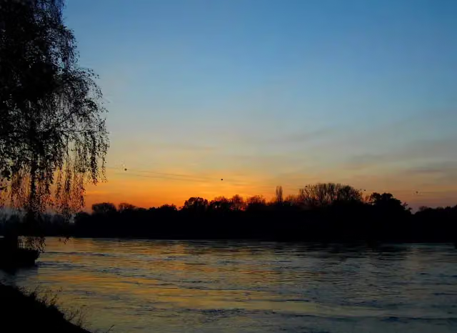 Bac Seltz - Plittersdorf;Rheinfähre Plittersdorf - SeltzAttraction · 3.3 km from the route
- 22
 Le VaisseauMuseum · 3.9 km from the route
- 23
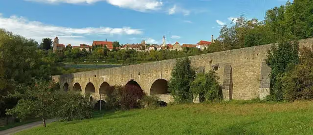 Double Bridge over the Tauber RiverAttraction · 5.1 km from the route
- 24
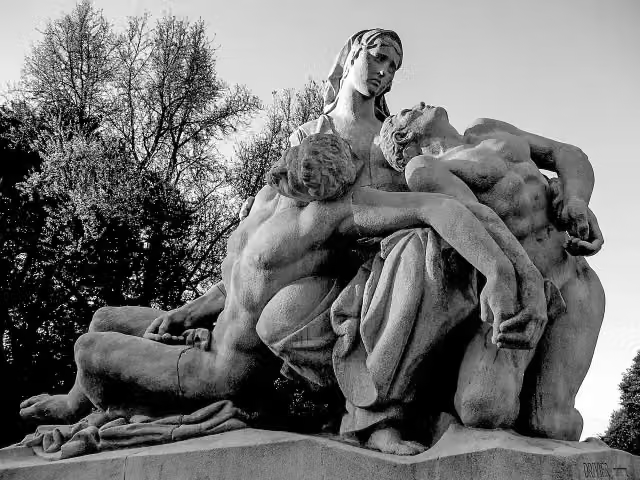 MemorialMemorial · 5.1 km from the route
- 25
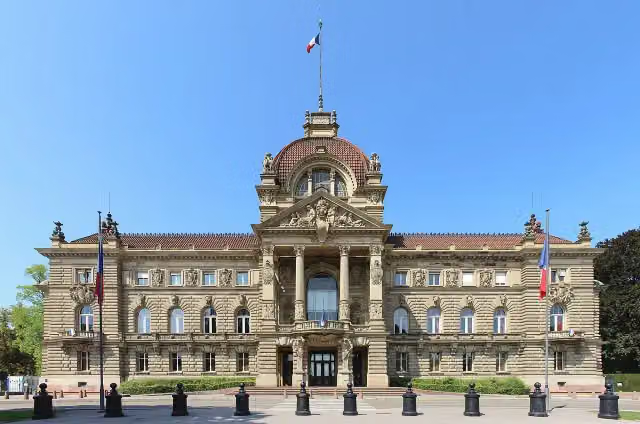 Palace of the RhineCastle · 5.2 km from the route
Explore more
More cycle routes around Kehl
Frequently asked questions
How long is Paneuropa Route - part Germany 1?
Paneuropa Route - part Germany 1 is 378.5 km long. Allow ± 25:15 h of riding: 15 km an hour, without breaks.
Is this route a circular ride?
No, the route runs from Kehl DE/FR to Rothenburg ob der Tauber.
Where does this route start?
The route starts in Kehl.
How hard is this route?
Hard, with 1,741 m of climbing.
Are there toilets along this route?
Yes, there are 60 public toilets within 100 m of the route. The longest stretch without a toilet is 59.9 km.
Can you fill up with water along this route?
Yes, there are 16 water fountains and refill points within 100 m of the route.
What is there to see along this route?
Along the way you pass Schloss Ettlingen, Bismarckdenkmal and Kriegerdenkmal.
Can I download this route as a GPX file?
Yes. Sign in with your Outdoor Pitstop account and choose Download GPX at the top of this page: 10 routes a month for free, unlimited with Pro.
Starting point
More routes from this place
Route data © OpenStreetMap contributors





