 Outdoor Pitstop
Cycle route · Seßlach · Updated on 14 November 2026
Burgenstraße Abschnitt 5 cycle route
Burgenstraße Abschnitt 5 is a cycle route of 145.9 km from Seßlach. Along the way you'll find 312 benches, 12 water fountains and refill points, 21 public toilets, 1 bike pump and 1 honesty box.
i
i
The route step by step
From start to finish, with what you pass along the way and the distance in between.
- 145.9 km
- ± 9:45 h
- ↑ 937 m · ↓ 826 m
- Hard
- From A to B
- Regional route
- Colour of the signs
Start in Seßlach
0 km283 m · 3 benches
Public toilet
283 m966 m · bench
Public toilet
1.2 km10.9 km · 8 benches
Water point
12.2 km4 km · bench
Public toilet and 2 water fountains and refill points
16.2 km555 m · 4 benches
Water point
16.8 km6.5 km · 7 benches

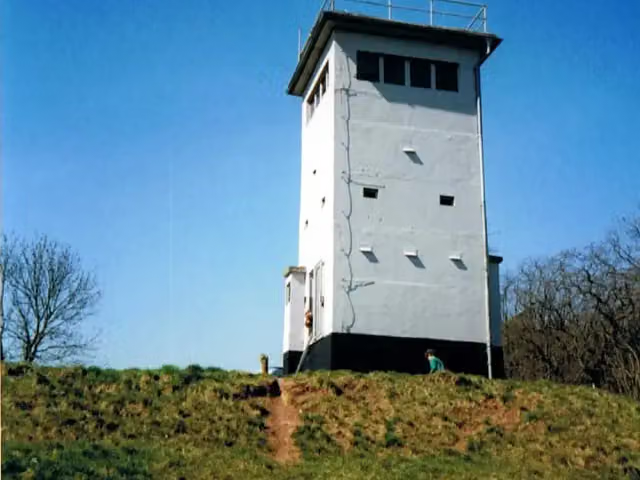
Wüstung Billmuthausen
23.2 kmAttraction
2.1 km · 4 benches
Public toilet
25.4 km9.3 km · 8 benches
Honesty box
34.6 km1.8 km · bench
Public toilet
36.4 km9.4 km · 8 benches
Public toilet, water point and bike pump
45.8 km361 m · 27 benches
Public toilet
46.2 km216 m · bench
Water point
46.4 km194 m
Spitaltor and 2 more
46.6 kmPrinz Friedrich Josias, Bürglaß-Schlösschen, 2 public toilets and water point
176 m · bench
Palais Edinburgh and 1 more
46.8 kmArkaden
217 m · 19 benches
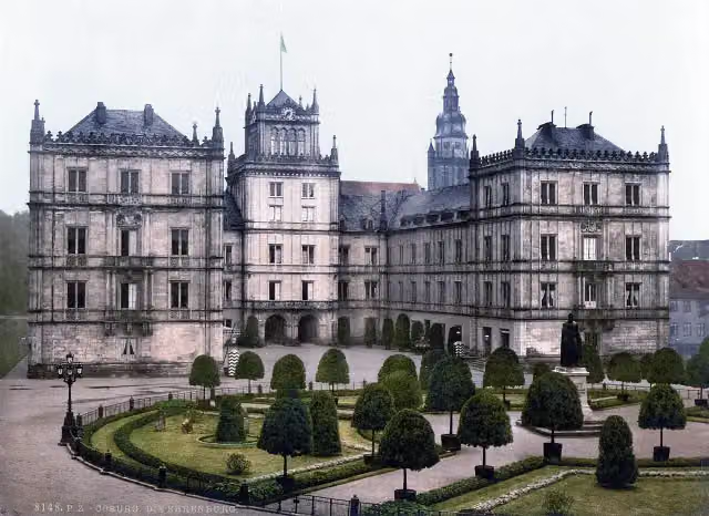
Schloss Ehrenburg and 1 more
47 kmSchloßmuseum
637 m · bench
Mausoleum für Herzog Franz Friedrich Anton und Herzogin Auguste
47.6 kmAttraction
775 m · 3 benches
2 public toilets
48.4 km7.7 km · 13 benches
Water point
56.1 km9.8 km · 4 benches
Water point
65.9 km18.1 km · 14 benches
Public toilet and water point
84 km2.1 km · 14 benches
Public toilet
86.1 km649 m · 8 benches
Public toilet
86.8 km24.4 km · 16 benches
2 public toilets
111.2 km185 m · 5 benches
Water point
111.4 km654 m · 28 benches
Public toilet
112 km11.7 km · 18 benches
Tanzlinde
123.7 kmAttraction
5.7 km · 9 benches
Schloss Neudrossenfeld
129.4 kmCastle
11.1 km · 27 benches
Public toilet
140.4 km407 m · 4 benches
Public toilet and water point
140.9 km
Show the other 2 steps
2.2 km · 32 benches
Public toilet
143.1 km2.8 km · 20 benches
Finish
145.9 kmAt the finish: Eremitage, Neues Schloss Eremitage and public toilet.
Longest stretch without a toilet: 35.6 kmBetween 48.5 km and 84 km there is no public toilet within 100 m of the route.
The route with the pitstops and sights within 100 m of it.
13 sights along the way
In the order you pass them. With the Outdoor Pitstop app you hear their story on the spot. 5 more along the route are on the map.
i
Photo: Andreas Erhard · Wikimedia Commons · CC BY-SA 3.0View the photo on Wikimedia CommonsAttraction · after 23.2 km
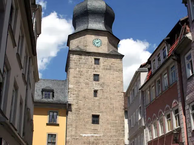
i
Photo: Störfix · Wikimedia Commons · CC BY-SA 3.0View the photo on Wikimedia CommonsAttraction · after 46.6 km
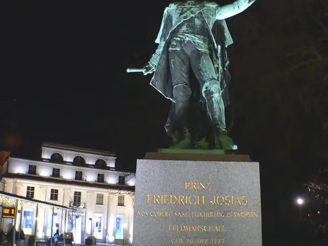
i
Photo: Presse03 · Wikimedia Commons · CC BY-SA 3.0View the photo on Wikimedia CommonsMemorial · after 46.7 km
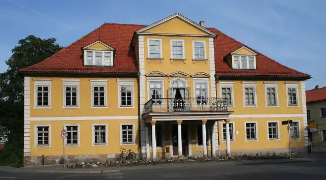
i
Photo: Störfix · Wikimedia Commons · CC BY-SA 3.0View the photo on Wikimedia CommonsAttraction · after 46.7 km
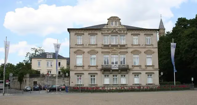
i
Photo: Störfix · Wikimedia Commons · CC BY-SA 3.0View the photo on Wikimedia CommonsAttraction · after 46.8 km
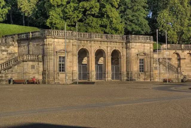
i
Photo: Mike aus dem Bayerwald · Wikimedia Commons · CC BY-SA 3.0View the photo on Wikimedia CommonsAttraction · after 46.9 km
- Story
Schloss Ehrenburg
Attraction · after 47 km
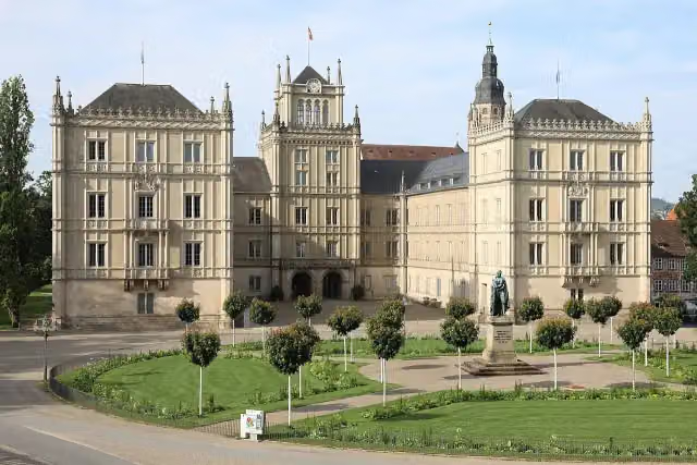
i
Photo: Störfix · Wikimedia Commons · CC BY-SA 3.0 deView the photo on Wikimedia CommonsMuseum · after 47 km
Elevation and terrain
- Up
- ↑ 937 m
- Down
- ↓ 826 m
- Highest point
- 465 m
- Lowest point
- 268 m
- 5-10% slope · 2.2 km
- 10-15% slope · 733 m
Elevation from Copernicus GLO-30 (European Union and ESA), smoothed.
produced using Copernicus WorldDEM-30 © DLR e.V. 2010-2014 and © Airbus Defence and Space GmbH 2014-2018 provided under COPERNICUS by the European Union and ESA; all rights reserved
Way types
145.9 km in total- Road: 59 km
- Path: 33.6 km
- Track: 27.6 km
- Street: 17.5 km
- Cycle path: 4.1 km
- Busy road: 2.6 km
- Footpath (walk your bike): 1.1 km
Surfaces
145.9 km in total- Asphalt: 108.7 km
- Gravel: 9 km
- Paved: 3.3 km
- Unpaved: 300 m
- Unknown: 24.1 km
About the cycle route Burgenstraße Abschnitt 5
Updated on 14 November 2026, with data from OpenStreetMap, the AHN and Copernicus.
Where do you cycle?
Burgenstraße Abschnitt 5 is a cycle route of 145.9 km that starts in Seßlach. It does not end where it starts. You start in Bamberg and finish in Bayreuth. Along the way you pass Wüstung Billmuthausen (after 23.2 km), Spitaltor (after 46.6 km) and Prinz Friedrich Josias (after 46.7 km).
How hard is the route?
You climb 937 m in total and descend 826 m. Allow ± 9:45 h, without breaks. The level is hard.
What roads do you cycle on?
The longest part is road (59 km), path (33.6 km) and track (27.6 km). Of the surface, 108.7 km asphalt and 9 km gravel. For 24.1 km the surface is not known.
Pitstops along the way
Within 100 metres of the route there are 312 benches, 12 water fountains and refill points, 21 public toilets, 1 bike pump and 1 honesty box. The longest stretch without a toilet is 35.6 km. The Outdoor Pitstop app navigates you there.
Part of Burgenstraße
Website of the routeCycle routes nearby
6- ThermentourHard · From A to B125.4 km
- Werra-Obermain-RadwegHard · From A to B60.9 km
- Rodach-Itzgrund-RadwegModerate · From A to B56.8 km
- Bamberg-Bad KönigshofenHard · From A to B66.2 km
- EuroVelo 13 - Iron Curtain Trail - part 10Hard · From A to B303.6 km
- Oberfränkische Marientour - Etappe 3Moderate · From A to B43.1 km
Sights nearby
Within 10 km of the route, best known first.
- 1
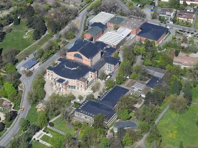 FestspielhausAttraction · 1.4 km from the route
- 2
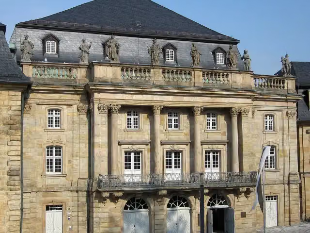 Margravial Opera HouseAttraction · 275 m from the route
- 3
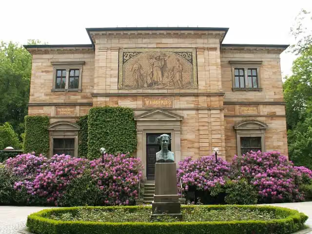 Richard-Wagner-MuseumMuseum · 548 m from the route
- 4
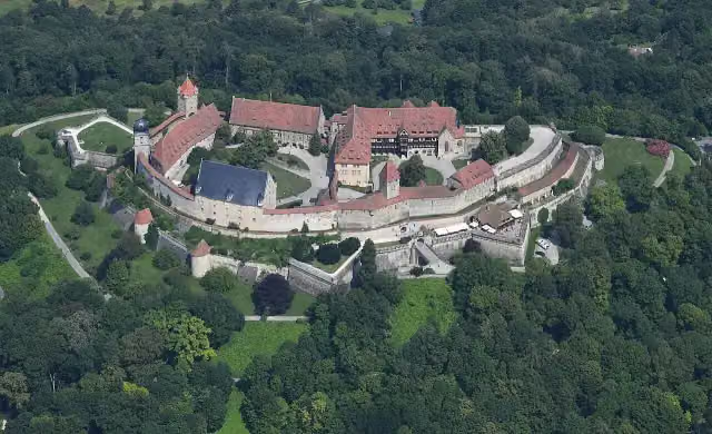 Veste CoburgCastle · 182 m from the route
- 5
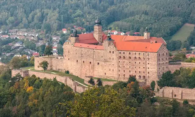 PlassenburgAttraction · 517 m from the route
- 6
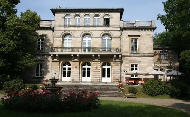 Schloss HohenfelsCastle · 97 m from the route
- 7
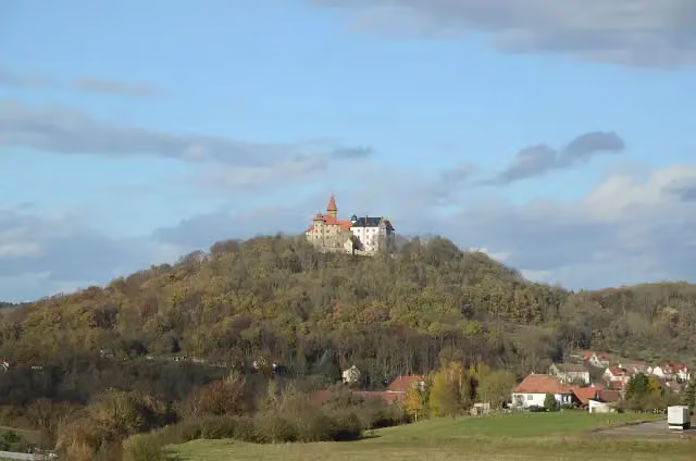 Veste HeldburgAttraction · 125 m from the route
- 8
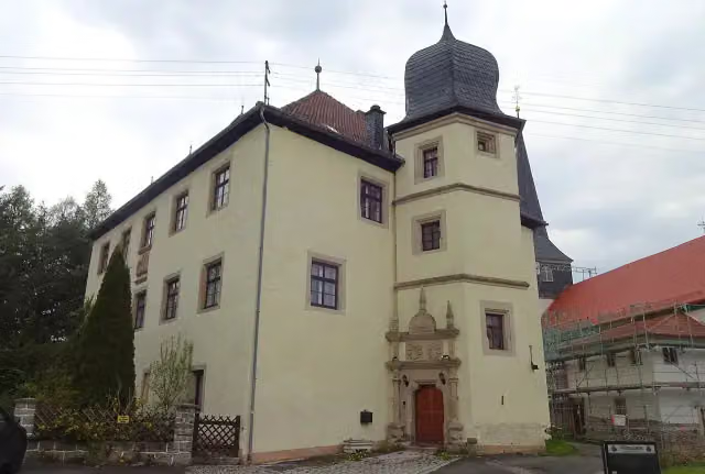 CastleCastle · 138 m from the route
- 9
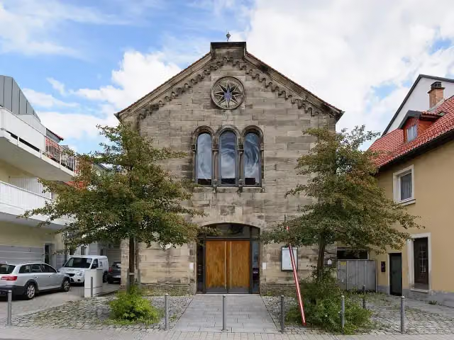 SynagogeMuseum · 155 m from the route
- 10
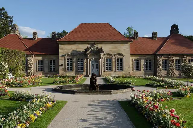 Altes Schloss EremitageCastle · 165 m from the route
- 11
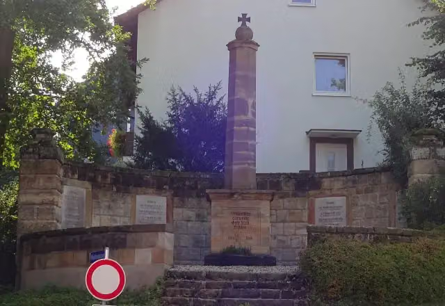 MemorialMemorial · 172 m from the route
- 12
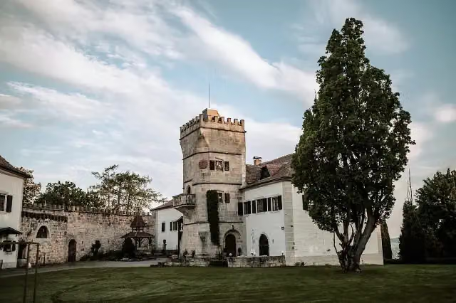 Schloss GeyersbergCastle · 181 m from the route
- 13
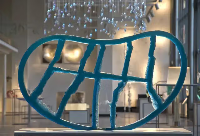 Kunstsammlungen der Veste CoburgMuseum · 189 m from the route
- 14
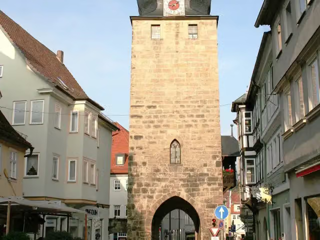 JudentorAttraction · 205 m from the route
- 15
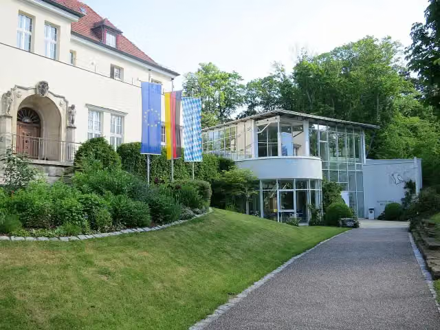 NaturkundemuseumMuseum · 206 m from the route
- 16
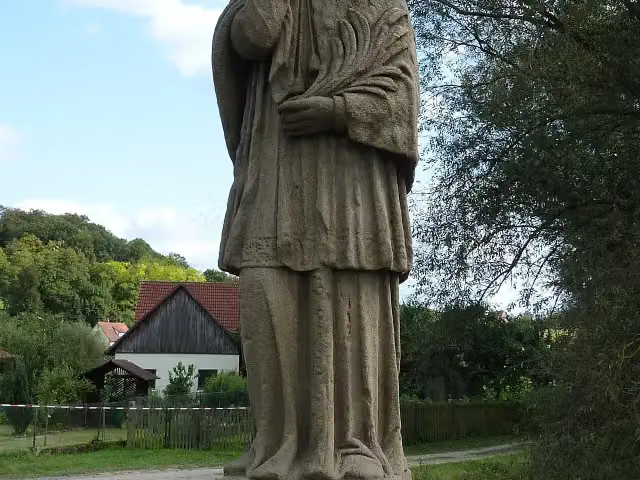 MemorialMemorial · 218 m from the route
- 17
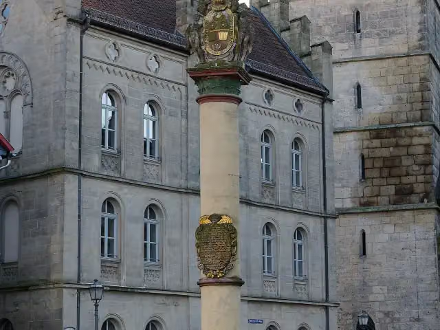 EhrensäuleMemorial · 246 m from the route
- 18
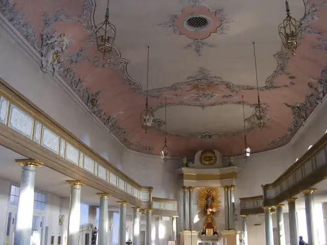 SchlosskircheAttraction · 313 m from the route
- 19
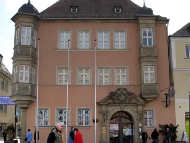 KunstmuseumMuseum · 323 m from the route
- 20
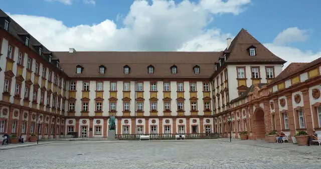 Altes SchlossCastle · 329 m from the route
- 21
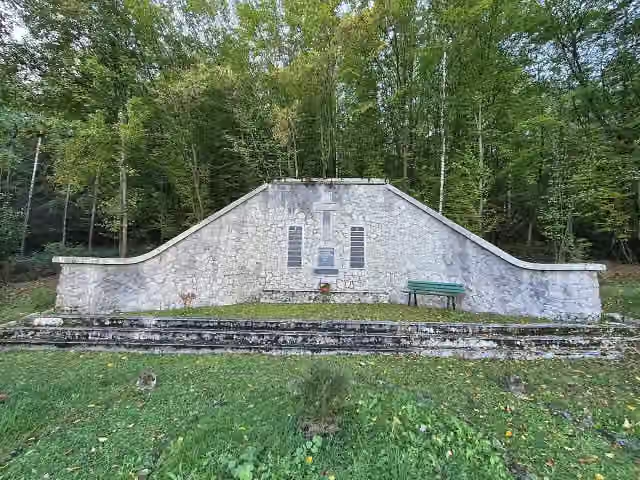 MemorialMemorial · 355 m from the route
- 22
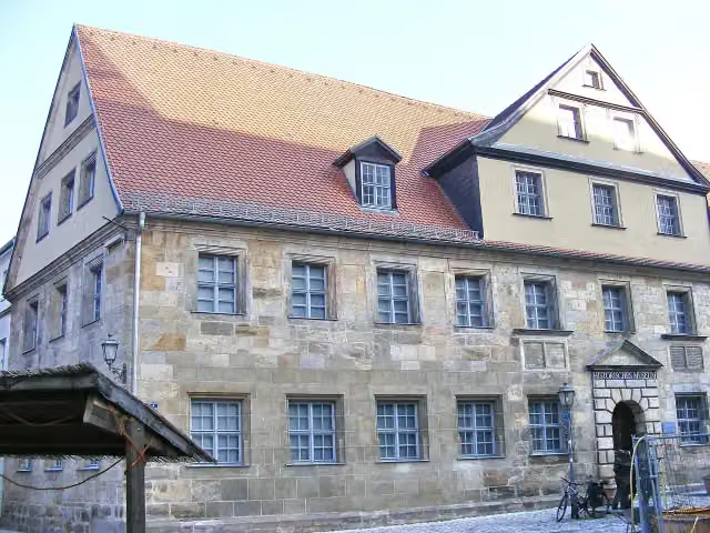 Historisches MuseumMuseum · 362 m from the route
- 23
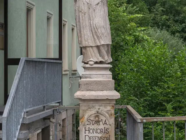 Johannes-Nepomuk-StatueMemorial · 368 m from the route
- 24
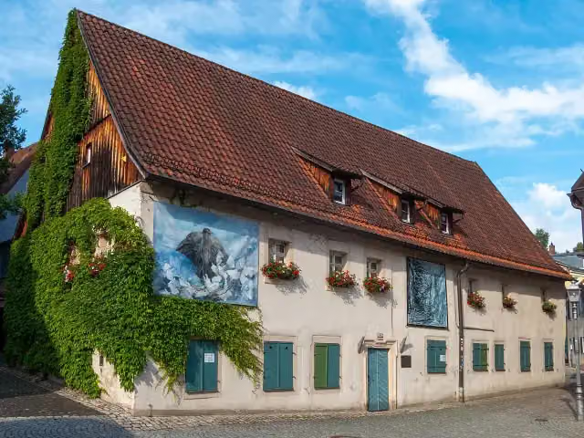 BadhausMuseum · 398 m from the route
- 25
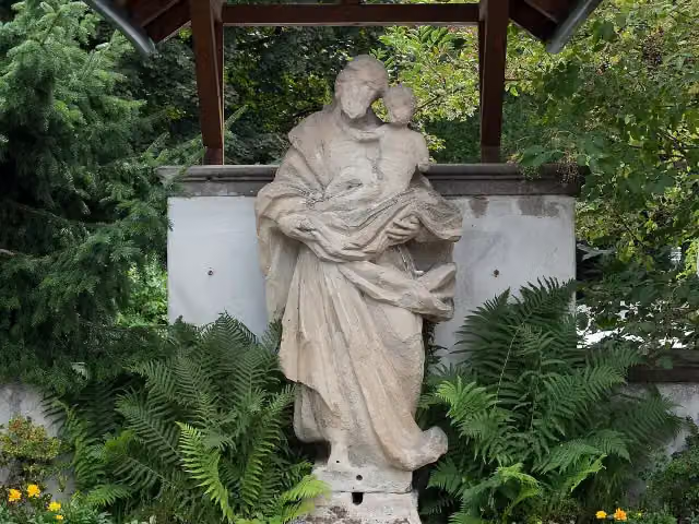 MemorialMemorial · 407 m from the route
Explore more
More cycle routes around Seßlach
More nearby
Frequently asked questions
How long is Burgenstraße Abschnitt 5?
Burgenstraße Abschnitt 5 is 145.9 km long. Allow ± 9:45 h of riding: 15 km an hour, without breaks.
Is this route a circular ride?
No, the route runs from Bamberg to Bayreuth.
Where does this route start?
The route starts in Seßlach.
How hard is this route?
Hard, with 937 m of climbing.
Are there toilets along this route?
Yes, there are 21 public toilets within 100 m of the route. The longest stretch without a toilet is 35.6 km.
Can you fill up with water along this route?
Yes, there are 12 water fountains and refill points within 100 m of the route.
What is there to see along this route?
Along the way you pass Wüstung Billmuthausen, Spitaltor and Prinz Friedrich Josias.
Can I download this route as a GPX file?
Yes. Sign in with your Outdoor Pitstop account and choose Download GPX at the top of this page: 10 routes a month for free, unlimited with Pro.
Starting point
More routes from this place
Route data © OpenStreetMap contributors





