 Outdoor Pitstop
Cycle route · Rothenburg ob der Tauber · Updated on 14 November 2026
Burgenstraße Abschnitt 3 cycle route
Burgenstraße Abschnitt 3 is a cycle route of 169.4 km from Rothenburg ob der Tauber. Along the way you'll find 527 benches, 9 water fountains and refill points, 20 public toilets, 4 bike pumps and 5 honesty boxes and farm vending machines.
i
i
i
The route step by step
From start to finish, with what you pass along the way and the distance in between.
- 169.4 km
- ± 11:20 h
- ↑ 675 m · ↓ 798 m
- Hard
- From A to B
- Regional route
- Colour of the signs
Start in Rothenburg ob der Tauber
0 kmAt the start: public toilet.
27.6 km · 19 benches

Lehrberger Schloss
27.6 kmBike pump
7.2 km · 15 benches
St. Gumbertus
34.8 kmMemorial
559 m · 4 benches
Public toilet
35.4 km167 m · 6 benches
Ulanen-Denkmal and 1 more
35.6 kmErnst von Bandel
153 m · 9 benches
Markgrafenmuseum and 2 more
35.7 kmAnsBACH-Säule, Der schmale Grat and public toilet
246 m · 8 benches
Robert Limpert and 3 more
36 kmHerzog Albrecht von Brandenburg, Johann Bernhard Endres, Markgräfliche Residenz, public toilet and water point
160 m · 11 benches
Simon-Marius-Denkmal
36.1 kmWater point
173 m · 6 benches
Platen-Denkmal and 1 more
36.3 kmKriegerdenkmal 1870-71 and public toilet
212 m · 14 benches
Orangerie
36.5 kmAttraction
18.9 km · 19 benches
Deutschordensschloss and 2 more
55.4 kmWolframs-Denkmal, Museum Wolfram von Eschenbach and public toilet
7.6 km · 6 benches
Water point
63 km2.1 km
Burg Windsbach and 1 more
65 kmStadtturm and water point
216 m
Water point
65.3 km954 m · 4 benches
Bike pump
66.2 km12.6 km · 6 benches
Public toilet
78.8 km9.9 km · 10 benches
Public toilet
88.7 km872 m · 4 benches
Public toilet
89.6 km423 m · 7 benches
Museum Schloss Ratibor and 1 more
90 kmSchloss Ratibor and bike pump
224 m · 6 benches
Water point, bike pump and honesty box
90.2 km238 m
Honesty box
90.4 km15.3 km · 14 benches
Dammbruch-Gedenkstein
105.7 kmMemorial
1.7 km · 11 benches
Public toilet
107.4 km3.6 km · 2 benches
Waldstromer-Schlösschen
111 kmCastle
5.1 km · 33 benches
Heimatmuseum Stein
116 kmPublic toilet
16.4 km · 24 benches
Water point
132.5 km1.7 km · 2 benches
Aussichtsturm Cadolzburg
134.1 kmObservation tower
341 m · 2 benches
Public toilet
134.4 km334 m · 2 benches
Historisches Museum
134.8 kmPublic toilet
171 m
Burg Cadolzburg and 1 more
135 kmErlebnis Cadolzburg
Show the other 11 steps
7.8 km · 19 benches
Water point
142.8 km9.1 km · 26 benches
2 honesty boxes and farm vending machines
151.9 km6 km · 6 benches
Honesty box
158 km5.8 km · 72 benches
Public toilet
163.8 km1.3 km
Public toilet
165 km1.8 km · 28 benches
Public toilet
166.8 km545 m · 21 benches
2 public toilets
167.4 km887 m · 30 benches
Hesperidengärten
168.2 kmAttraction
805 m · 67 benches
Weißgerbergasse and 2 more
169 kmWeinstadel and Toy Museum Nuremberg
164 m · 4 benches
Deutsches Museum Nürnberg
169.2 kmMuseum
224 m · 10 benches
Finish
169.4 kmAt the finish: St. Sebald Church, Beautiful Fountain, Frauenkirche, 2 public toilets and water point.
Longest stretch without a toilet: 35.4 kmBetween 6 m and 35.4 km there is no public toilet within 100 m of the route.
The route with the pitstops and sights within 100 m of it.
37 sights along the way
In the order you pass them. With the Outdoor Pitstop app you hear their story on the spot. 29 more along the route are on the map.
i
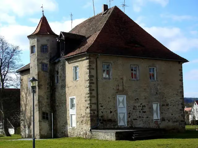
Photo: Diddopf · Wikimedia Commons · CC BY-SA 3.0View the photo on Wikimedia CommonsCastle · after 27.7 km

Memorial · after 34.8 km
Memorial · after 35.6 km
Memorial · after 35.7 km
Museum · after 35.7 km
Memorial · after 35.8 km
Memorial · after 35.8 km
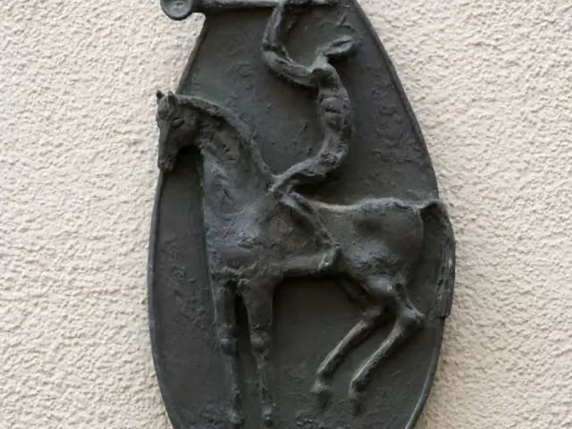
i
Photo: Groogokk · Wikimedia Commons · CC BY-SA 3.0View the photo on Wikimedia CommonsMemorial · after 36 km
Elevation and terrain
- Up
- ↑ 675 m
- Down
- ↓ 798 m
- Highest point
- 498 m
- Lowest point
- 282 m
- 5-10% slope · 1.7 km
Elevation from Copernicus GLO-30 (European Union and ESA), smoothed.
produced using Copernicus WorldDEM-30 © DLR e.V. 2010-2014 and © Airbus Defence and Space GmbH 2014-2018 provided under COPERNICUS by the European Union and ESA; all rights reserved
Way types
169.4 km in total- Track: 54 km
- Road: 34.8 km
- Street: 34.7 km
- Path: 29.7 km
- Cycle path: 6.5 km
- Busy road: 4.8 km
- Footpath (walk your bike): 4.6 km
Surfaces
169.4 km in total- Asphalt: 106.9 km
- Gravel: 20 km
- Paved: 16.5 km
- Natural: 150 m
- Unpaved: 100 m
- Unknown: 25.4 km
About the cycle route Burgenstraße Abschnitt 3
Updated on 14 November 2026, with data from OpenStreetMap, the AHN and Copernicus.
Where do you cycle?
Burgenstraße Abschnitt 3 is a cycle route of 169.4 km that starts in Rothenburg ob der Tauber. It does not end where it starts. You start in Rothenburg ob der Tauber and finish in Nürnberg. Along the way you pass Lehrberger Schloss (after 27.7 km), St. Gumbertus (after 34.8 km) and Ulanen-Denkmal (after 35.6 km).
How hard is the route?
You climb 675 m in total and descend 798 m. Allow ± 11:20 h, without breaks. The level is hard.
What roads do you cycle on?
The longest part is track (54 km), road (34.8 km) and street (34.7 km). Of the surface, 106.9 km asphalt and 20 km gravel. For 25.4 km the surface is not known.
Pitstops along the way
Within 100 metres of the route there are 527 benches, 9 water fountains and refill points, 20 public toilets, 4 bike pumps and 5 honesty boxes and farm vending machines. The longest stretch without a toilet is 35.4 km. The Outdoor Pitstop app navigates you there.
Part of Burgenstraße
Website of the routeCycle routes nearby
6- Altmühltal-RadwegHard · From A to B243.2 km
- Paneuropa Route - part Germany 2Hard · From A to B292.4 km
- Tauber-Altmühl-RadwegHard · From A to B342 km
- Fränkischer WasserRadweg - Etappe 6Hard · From A to B60.7 km
- Burgenstraße Abschnitt 2Hard · From A to B129.7 km
- Kraichgau-Hohenlohe-RadwegHard · From A to B184.9 km
Sights nearby
Within 10 km of the route, best known first.
- 1
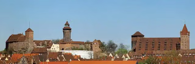 Imperial CastleAttraction · 410 m from the route
- 2
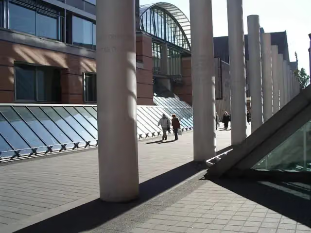 Germanisches NationalmuseumMuseum · 690 m from the route
- 3
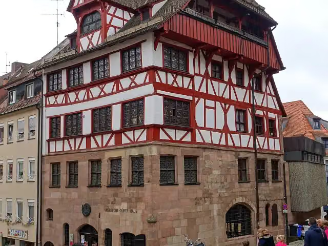 Albrecht Dürer's HouseMuseum · 293 m from the route
- 4
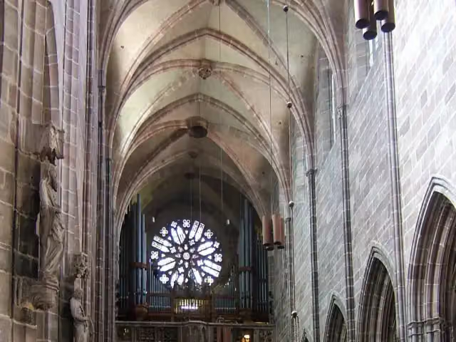 St. Lawrence ChurchAttraction · 361 m from the route
- 5
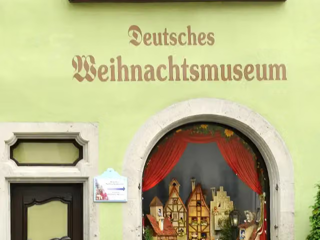 German Christmas MuseumMuseum · 746 m from the route
- 6
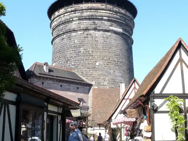 Craftmen's CourtyardAttraction · 795 m from the route
- 7
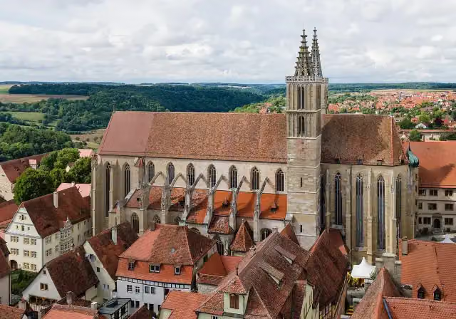 St James' ChurchAttraction · 824 m from the route
- 8
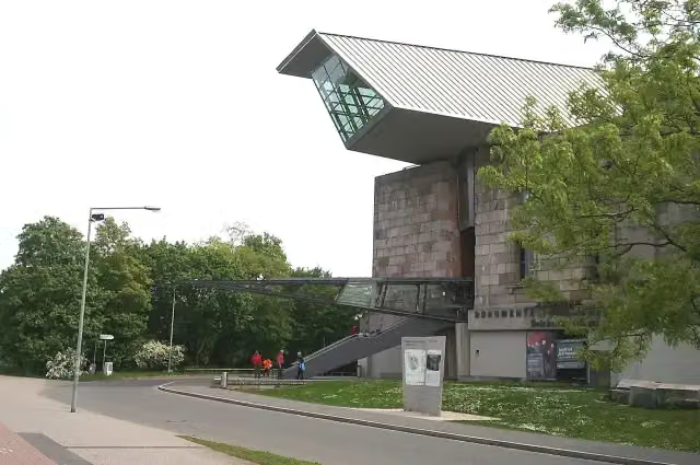 Documentation Center Nazi Party Rally GroundsMuseum · 3.4 km from the route
- 9
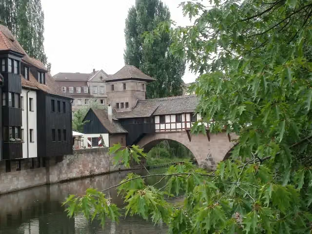 hangman's houseMuseum · 144 m from the route
- 10
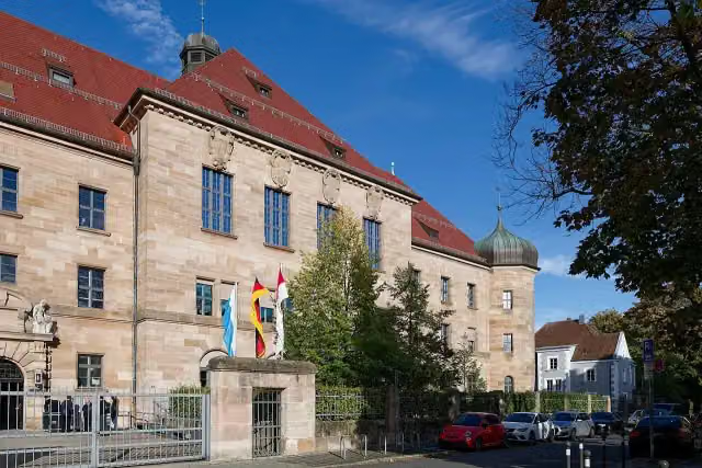 Memorium Nuremberg TrialsMuseum · 294 m from the route
- 11
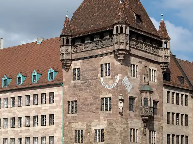 Nassauer HausAttraction · 335 m from the route
- 12
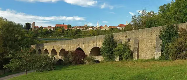 Double Bridge over the Tauber RiverAttraction · 952 m from the route
- 13
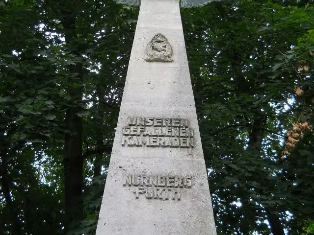 Pilot MonumentMemorial · 3 km from the route
- 14
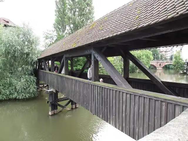 Hangman's BridgeAttraction · 160 m from the route
- 15
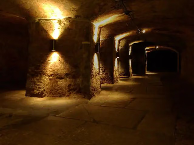 Historic Rock-cut CellarsAttraction · 224 m from the route
- 16
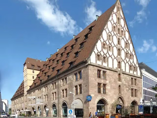 Former Customs HouseAttraction · 546 m from the route
- 17
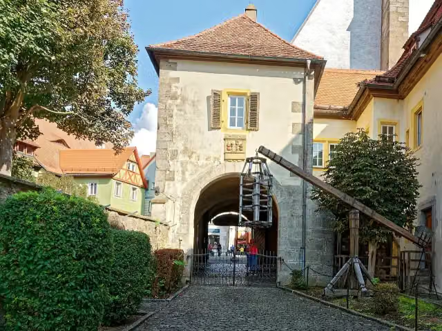 Medieval Crime MuseumMuseum · 675 m from the route
- 18
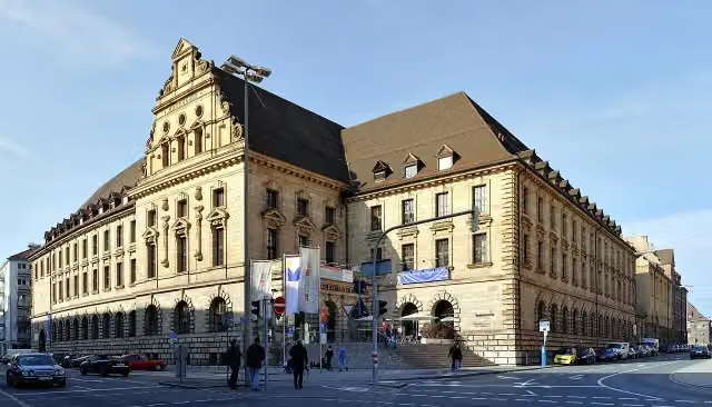 Verkehrsmuseum Nürnberg (DB Museum)Museum · 987 m from the route
- 19
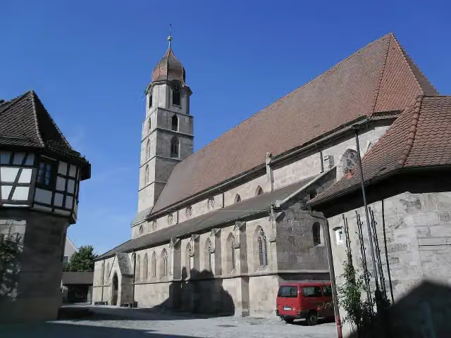 KlosterAttraction · 115 m from the route
- 20
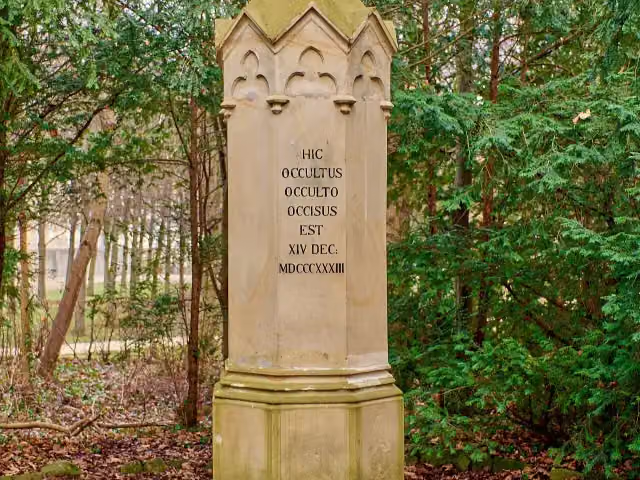 Kaspar-Hauser-DenkmalAttraction · 133 m from the route
- 21
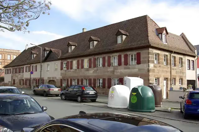 Serz’sches HerrenhausCastle · 133 m from the route
- 22
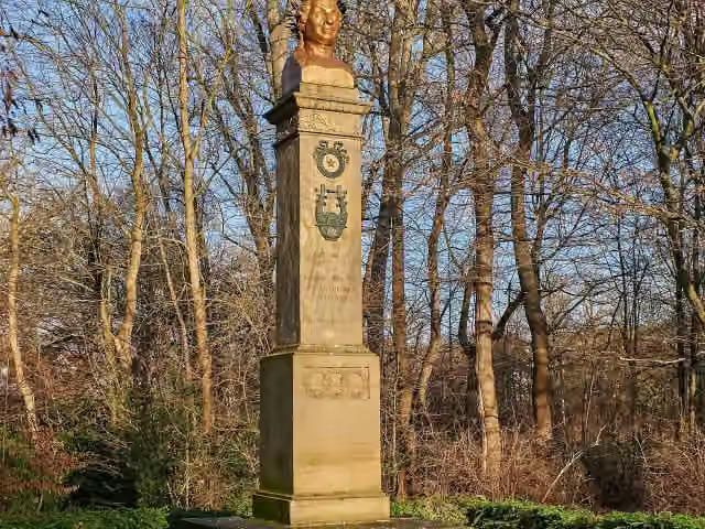 Uz-DenkmalMemorial · 135 m from the route
- 23
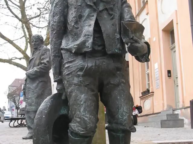 Kaspar-Hauser-DenkmalMemorial · 135 m from the route
- 24
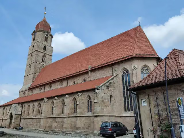 St. TrinitatisAttraction · 144 m from the route
- 25
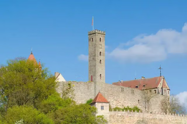 Burg AbenbergAttraction · 144 m from the route
Explore more
More cycle routes around Rothenburg ob der Tauber
Frequently asked questions
How long is Burgenstraße Abschnitt 3?
Burgenstraße Abschnitt 3 is 169.4 km long. Allow ± 11:20 h of riding: 15 km an hour, without breaks.
Is this route a circular ride?
No, the route runs from Rothenburg ob der Tauber to Nürnberg.
Where does this route start?
The route starts in Rothenburg ob der Tauber.
How hard is this route?
Hard, with 675 m of climbing.
Are there toilets along this route?
Yes, there are 20 public toilets within 100 m of the route. The longest stretch without a toilet is 35.4 km.
Can you fill up with water along this route?
Yes, there are 9 water fountains and refill points within 100 m of the route.
What is there to see along this route?
Along the way you pass Lehrberger Schloss, St. Gumbertus and Ulanen-Denkmal.
Can I download this route as a GPX file?
Yes. Sign in with your Outdoor Pitstop account and choose Download GPX at the top of this page: 10 routes a month for free, unlimited with Pro.
Starting point
More routes from this place
Route data © OpenStreetMap contributors





