 Outdoor Pitstop
Cycle route · Rothenburg ob der Tauber · Updated on 13 November 2026
Paneuropa Route - part Germany 2 cycle route
Paneuropa Route - part Germany 2 is a cycle route of 292.4 km from Rothenburg ob der Tauber. Along the way you'll find 835 benches, 29 water fountains and refill points, 33 public toilets, 6 bike pumps and 2 honesty boxes and farm vending machines.
i
i
i
The route step by step
From start to finish, with what you pass along the way and the distance in between.
- 292.4 km
- ± 19:30 h
- ↑ 1,310 m · ↓ 1,258 m
- Hard
- From A to B
- International route
Start in Rothenburg ob der Tauber
0 km6.9 km · 6 benches

Toppler Little Castle
6.9 kmAttraction
925 m · 2 benches
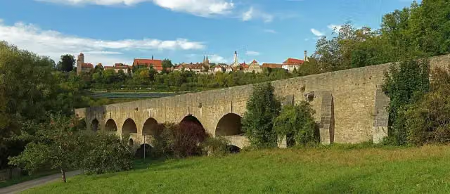
Double Bridge over the Tauber River
7.8 kmAttraction
1.2 km · 43 benches
Public toilet
9 km578 m · 3 benches
Public toilet
9.6 km12.8 km · 12 benches
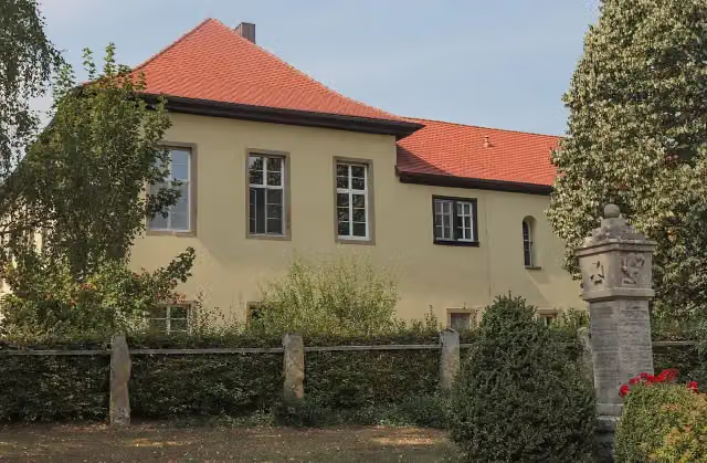
Schloss Windelsbach
22.4 kmCastle
3.9 km · bench
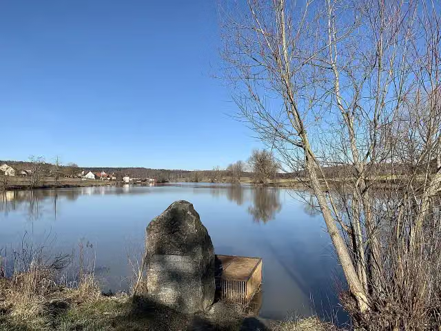
Ursprung der Altmühl
26.2 kmMemorial
9.3 km · 5 benches
Honesty box
35.5 km3.6 km · bench
Water point
39.1 km4.1 km · 2 benches
Wappenstein
43.2 kmMemorial
881 m · 3 benches
Public toilet, water point and bike pump
44.1 km809 m
2 water fountains and refill points
44.9 km2.5 km · bench
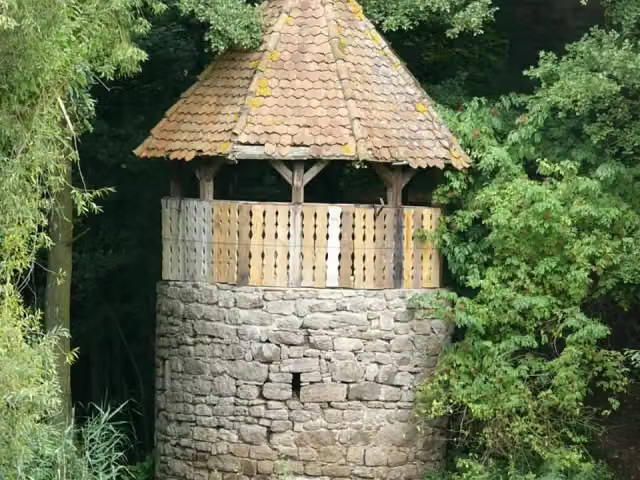
Reliefstein
47.4 kmMemorial
5.9 km · 9 benches
Water point
53.3 km1.8 km
Bike pump
55.1 km4.2 km · 8 benches
Burgruine Leonrod
59.3 kmAttraction
2 km · 11 benches
Water point and bike pump
61.2 km13.7 km · 28 benches
Public toilet and 2 water fountains and refill points
74.9 km8.8 km · 16 benches
Bike pump
83.7 km700 m · 8 benches
Public toilet
84.4 km755 m · 9 benches
Water point and bike pump
85.2 km4.7 km · 16 benches
Siebenbogenbrücke
89.8 kmAttraction
5.2 km · 66 benches
Public toilet
95.1 km1.3 km
Public toilet
96.3 km1.8 km · 29 benches
Public toilet
98.1 km545 m · 20 benches
2 public toilets
98.7 km888 m · 30 benches
Hesperidengärten
99.5 kmAttraction
805 m · 67 benches
Weißgerbergasse and 2 more
100.3 kmWeinstadel and Toy Museum Nuremberg
161 m · 4 benches
Deutsches Museum Nürnberg and 1 more
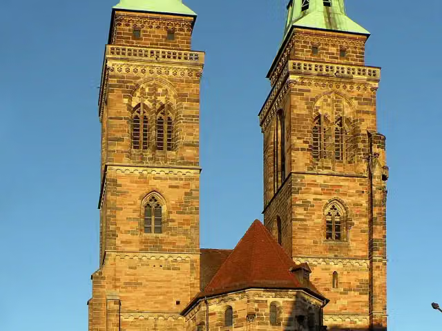
100.5 kmSt. Sebald Church
163 m · 2 benches
Beautiful Fountain and 1 more
100.7 kmFrauenkirche, 2 public toilets and water point
Show the other 35 steps
254 m · 9 benches
Museumsbrücke and 1 more
100.9 kmHeilig-Geist-Spital
159 m · 2 benches
Synagogendenkmal and 1 more
101.1 kmSt. Katharina
414 m · 12 benches
Naturhistorisches Museum
101.5 kmMuseum
568 m · 11 benches
Public toilet and water point
102.1 km825 m · 11 benches
Public toilet
102.9 km810 m · 7 benches
Public toilet
103.7 km3 km · 44 benches
Public toilet
106.7 km1.4 km · 8 benches
Ruine Schloss Oberbürg
108.1 kmCastle
1.1 km · 10 benches
Hammer
109.2 kmWater point
2.4 km · 10 benches
Schloss Schwaig
111.6 kmAttraction
7.8 km · 26 benches
Industriemuseum Lauf
119.3 km2 public toilets
159 m · 2 benches
Public toilet
119.5 km311 m · 11 benches
2 public toilets
119.8 km163 m · bench
Water point
120 km165 m · bench
Kirchenruine St. Leonhard and 1 more
120.1 kmWenzelburg
6.2 km · 15 benches
Public toilet and 2 water fountains and refill points
126.3 km2.8 km · 6 benches
Water point
129.1 km1.1 km · 4 benches
Water point
130.2 km11 km · 29 benches
Water point
141.2 km6.6 km · 16 benches
Water point
147.8 km2.3 km · 2 benches
2 public toilets
150.1 km282 m
Water point
150.4 km13.4 km · 14 benches
Public toilet
163.8 km222 m
Schloss Sulzbach
164 kmPublic toilet, water point and bike pump
197 m
Ehemalige Synagoge in Sulzbach-Rosenberg
164.2 kmPublic toilet
22.6 km · 13 benches
4 water fountains and refill points
186.8 km5.7 km · 18 benches
Public toilet
192.5 km4.3 km · 21 benches
Kriegerdenkmal
196.9 kmPublic toilet and 2 water fountains and refill points
19.5 km · 22 benches
Schloss Unterwildenau
216.4 kmCastle
20 km · 65 benches
Public toilet
236.4 km10.3 km · 12 benches
Public toilet and water point
246.7 km22.4 km · 15 benches
Public toilet and water point
269.1 km8.8 km · 5 benches
Honesty box
277.9 km9.1 km · 7 benches
Public toilet
286.9 km5.5 km · 4 benches
Finish
292.4 km
Longest stretch without a toilet: 39.4 kmBetween 197 km and 236.4 km there is no public toilet within 100 m of the route.
The route with the pitstops and sights within 100 m of it.
31 sights along the way
In the order you pass them. With the Outdoor Pitstop app you hear their story on the spot. 23 more along the route are on the map.
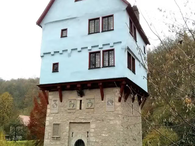
Attraction · after 6.9 km
Attraction · after 7.8 km
i
Photo: Castritus · Wikimedia Commons · CC BY-SA 4.0View the photo on Wikimedia CommonsCastle · after 22.4 km
i
Photo: Mausemarie · Wikimedia Commons · CC BY-SA 4.0View the photo on Wikimedia CommonsMemorial · after 26.2 km

Memorial · after 43.2 km
Memorial · after 47.4 km
i
Photo: PeterBraun74 · Wikimedia Commons · CC BY-SA 3.0View the photo on Wikimedia CommonsAttraction · after 59.3 km
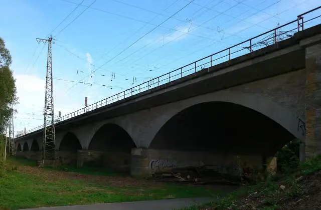
i
Photo: Michael Heimerl · Wikimedia Commons · CC BY-SA 3.0View the photo on Wikimedia CommonsAttraction · after 89.8 km
Elevation and terrain
- Up
- ↑ 1,310 m
- Down
- ↓ 1,258 m
- Highest point
- 610 m
- Lowest point
- 287 m
Nowhere steeper than 5%.
Elevation from Copernicus GLO-30 (European Union and ESA), smoothed.
produced using Copernicus WorldDEM-30 © DLR e.V. 2010-2014 and © Airbus Defence and Space GmbH 2014-2018 provided under COPERNICUS by the European Union and ESA; all rights reserved
Way types
292.4 km in total- Path: 123.3 km
- Road: 69.6 km
- Track: 50 km
- Street: 34.7 km
- Cycle path: 8 km
- Busy road: 4.5 km
- Footpath (walk your bike): 1.6 km
Surfaces
292.4 km in total- Asphalt: 231.6 km
- Gravel: 32.7 km
- Paved: 16.5 km
- Unpaved: 975 m
- Natural: 650 m
- Unknown: 9.3 km
About the cycle route Paneuropa Route - part Germany 2
Updated on 13 November 2026, with data from OpenStreetMap, the AHN and Copernicus.
Where do you cycle?
Paneuropa Route - part Germany 2 is a cycle route of 292.4 km that starts in Rothenburg ob der Tauber. It does not end where it starts. You start in Rothenburg ob der Tauber and finish in Eslarn DE/CZ. Along the way you pass Toppler Little Castle (after 6.9 km), Double Bridge over the Tauber River (after 7.8 km) and Schloss Windelsbach (after 22.4 km).
How hard is the route?
You climb 1,310 m in total and descend 1,258 m. Allow ± 19:30 h, without breaks. The level is hard.
What roads do you cycle on?
The longest part is path (123.3 km), road (69.6 km) and track (50 km). Of the surface, 231.6 km asphalt and 32.7 km gravel. For 9.3 km the surface is not known.
Pitstops along the way
Within 100 metres of the route there are 835 benches, 29 water fountains and refill points, 33 public toilets, 6 bike pumps and 2 honesty boxes and farm vending machines. The longest stretch without a toilet is 39.4 km. The Outdoor Pitstop app navigates you there.
Part of Paneuropa Route
Cycle routes nearby
6- Kraichgau-Hohenlohe-RadwegHard · From A to B184.9 km
- Paneuropa Route - part Germany 1Hard · From A to B378.5 km
- Burgenstraße Abschnitt 2Hard · From A to B129.7 km
- Wein-RadreiseEasy · From A to B24.7 km
- Liebliches Taubertal - Der "Sportive"Hard · From A to B162.6 km
- Liebliches Taubertal - Der "Klassiker"Hard · From A to B101.7 km
Sights nearby
Within 10 km of the route, best known first.
- 1
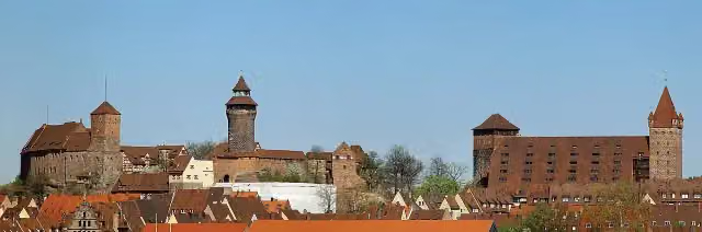 Imperial CastleAttraction · 401 m from the route
- 2
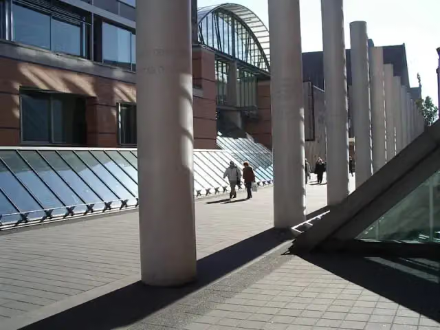 Germanisches NationalmuseumMuseum · 611 m from the route
- 3
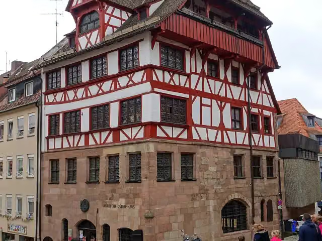 Albrecht Dürer's HouseMuseum · 288 m from the route
- 4
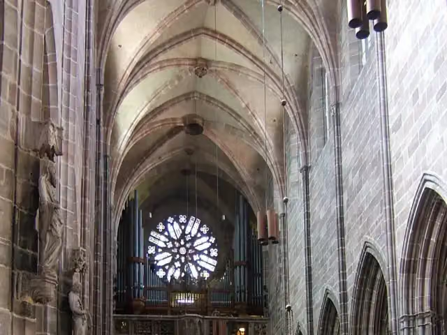 St. Lawrence ChurchAttraction · 246 m from the route
- 5
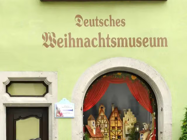 German Christmas MuseumMuseum · 308 m from the route
- 6
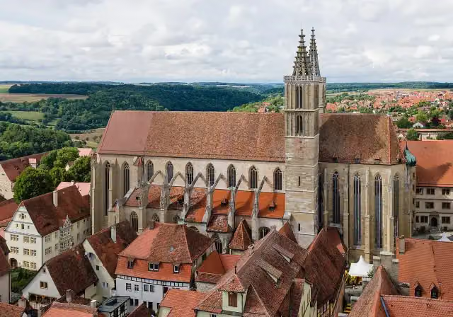 St James' ChurchAttraction · 310 m from the route
- 7
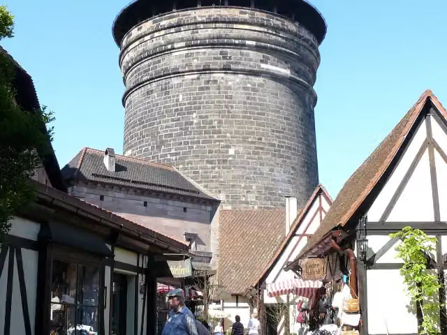 Craftmen's CourtyardAttraction · 607 m from the route
- 8
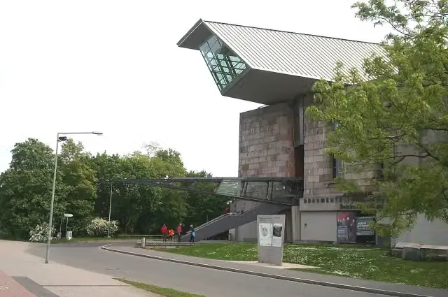 Documentation Center Nazi Party Rally GroundsMuseum · 2.3 km from the route
- 9
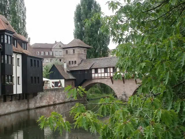 hangman's houseMuseum · 150 m from the route
- 10
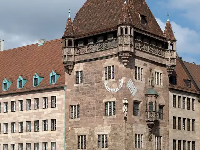 Nassauer HausAttraction · 245 m from the route
- 11
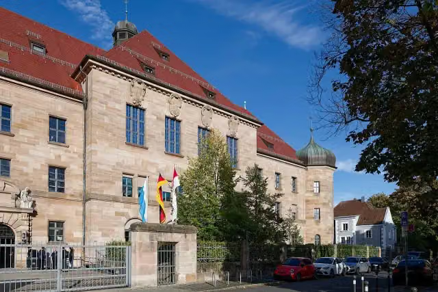 Memorium Nuremberg TrialsMuseum · 294 m from the route
- 12
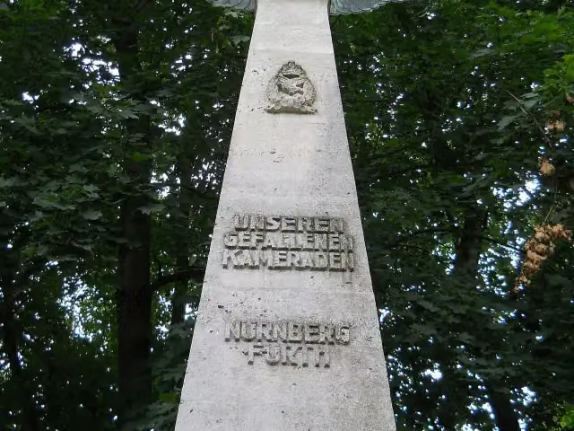 Pilot MonumentMemorial · 2 km from the route
- 13
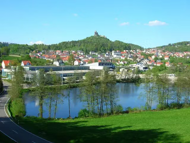 Flossenbürg castle ruinsCastle · 4.3 km from the route
- 14
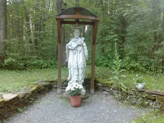 svatý Jan NepomuckýMemorial · 4.8 km from the route
- 15
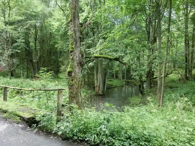 Zaniklá ves HraničkyAttraction · 6.1 km from the route
- 16
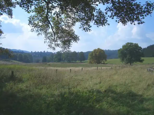 Zaniklá Česká VesAttraction · 8.4 km from the route
- 17
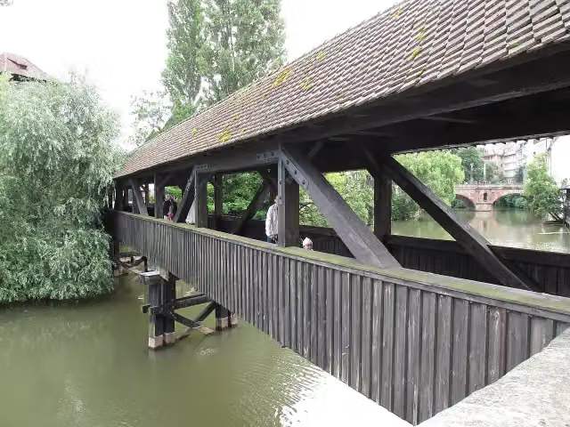 Hangman's BridgeAttraction · 165 m from the route
- 18
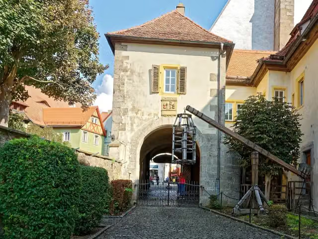 Medieval Crime MuseumMuseum · 179 m from the route
- 19
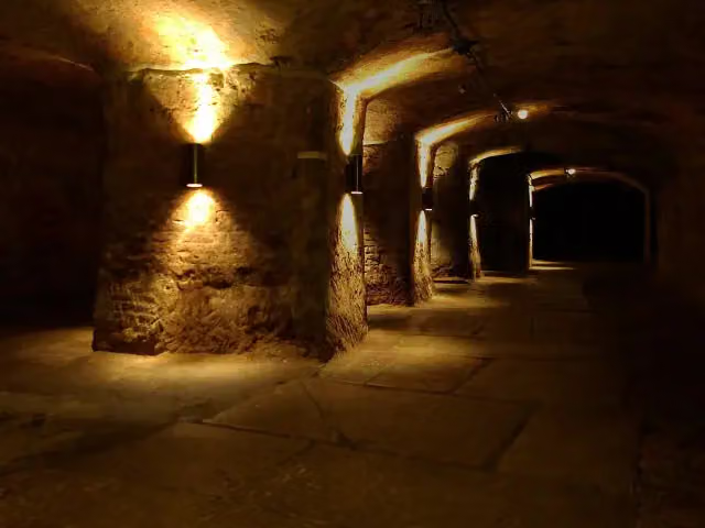 Historic Rock-cut CellarsAttraction · 214 m from the route
- 20
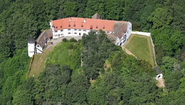 Schloss NeidsteinCastle · 325 m from the route
- 21
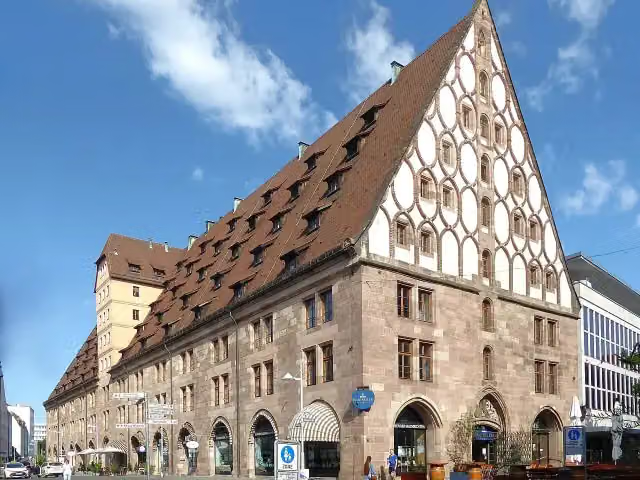 Former Customs HouseAttraction · 433 m from the route
- 22
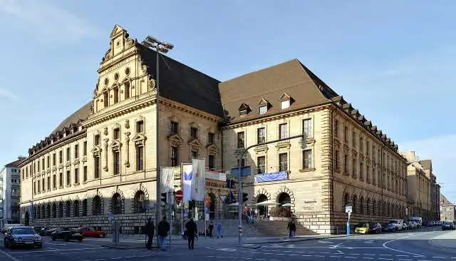 Verkehrsmuseum Nürnberg (DB Museum)Museum · 916 m from the route
- 23
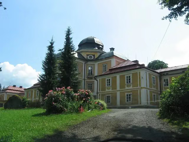 zámek DianaCastle · 5.2 km from the route
- 24
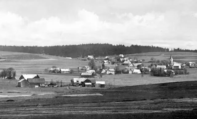 bývalá JedlinaAttraction · 7.5 km from the route
- 25
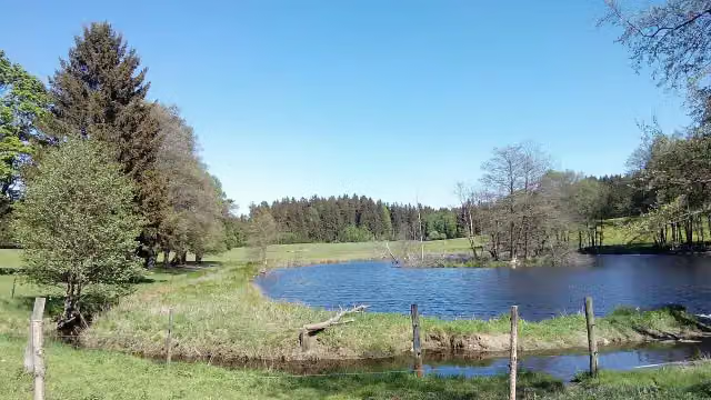 bývalé Zadní ZahájíAttraction · 7.9 km from the route
Explore more
More cycle routes around Rothenburg ob der Tauber
Frequently asked questions
How long is Paneuropa Route - part Germany 2?
Paneuropa Route - part Germany 2 is 292.4 km long. Allow ± 19:30 h of riding: 15 km an hour, without breaks.
Is this route a circular ride?
No, the route runs from Rothenburg ob der Tauber to Eslarn DE/CZ.
Where does this route start?
The route starts in Rothenburg ob der Tauber.
How hard is this route?
Hard, with 1,310 m of climbing.
Are there toilets along this route?
Yes, there are 33 public toilets within 100 m of the route. The longest stretch without a toilet is 39.4 km.
Can you fill up with water along this route?
Yes, there are 29 water fountains and refill points within 100 m of the route.
What is there to see along this route?
Along the way you pass Toppler Little Castle, Double Bridge over the Tauber River and Schloss Windelsbach.
Can I download this route as a GPX file?
Yes. Sign in with your Outdoor Pitstop account and choose Download GPX at the top of this page: 10 routes a month for free, unlimited with Pro.
Starting point
More routes from this place
Route data © OpenStreetMap contributors





