 Outdoor Pitstop
Cycle route · Rothenburg ob der Tauber · Updated on 14 November 2026
Liebliches Taubertal - Der "Sportive" cycle route
Liebliches Taubertal - Der "Sportive" is a cycle route of 162.6 km from Rothenburg ob der Tauber. Along the way you'll find 279 benches, 2 water fountains and refill points, 11 public toilets, 7 bike pumps and 1 honesty box.
i
i
i
The route step by step
From start to finish, with what you pass along the way and the distance in between.
- 162.6 km
- ± 10:50 h
- ↑ 1,518 m · ↓ 1,809 m
- Hard
- From A to B
- Regional route
Start in Rothenburg ob der Tauber
0 kmAt the start: public toilet.
338 m · 5 benches
Public toilet and bike pump
338 m243 m · 9 benches

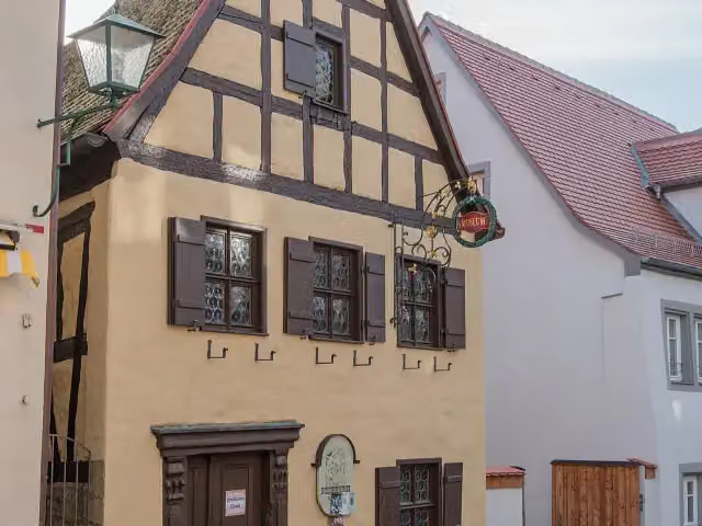
Alt-Rothenburger Handwerkerhaus
581 mMuseum
157 m · 13 benches
German Christmas Museum and 3 more
738 mRothenburg Town History Museum, Rathausturm, Medieval Crime Museum, public toilet, water point and bike pump
191 m · 17 benches
Water point
929 m777 m · 26 benches
Double Bridge over the Tauber River
1.7 kmAttraction
924 m · 2 benches
Toppler Little Castle
2.6 kmAttraction
34.3 km · 8 benches
Kriegerdenkmal
37 kmMemorial
13.1 km · 13 benches
Schloss Wachbach
50 kmCastle
5.4 km · 7 benches
Stuppacher Madonna
55.4 kmAttraction
6 km · 2 benches
Honesty box
61.4 km15.4 km · 9 benches
Unterschüpfer Wasserschloss
76.8 kmCastle
1.5 km · bench
Oberschüpfer Schloss
78.3 kmCastle
13.8 km · 6 benches
Bettendorf'sches Schloss
92 kmCastle
3.6 km · 2 benches
Public toilet
95.6 km11.8 km · 4 benches
Bike pump
107.4 km5.1 km · 7 benches
Bike pump
112.5 km25.1 km · 48 benches
Public toilet and bike pump
137.6 km4.1 km · 23 benches
Bundsandstein Geschichten
141.7 kmPublic toilet
4.4 km · 11 benches
Public toilet
146.2 km3.6 km · 19 benches
Bike pump
149.8 km10.9 km · 26 benches
2 public toilets
160.6 km1.7 km · 3 benches
2 public toilets and bike pump
162.3 km298 m · 16 benches
Finish
162.6 km
Longest stretch without a toilet: 94.9 kmBetween 738 m and 95.6 km there is no public toilet within 100 m of the route.
The route with the pitstops and sights within 100 m of it.
14 sights along the way
In the order you pass them. With the Outdoor Pitstop app you hear their story on the spot. 6 more along the route are on the map.
i
Photo: Tilman2007 · Wikimedia Commons · CC BY-SA 3.0View the photo on Wikimedia CommonsMuseum · after 581 m
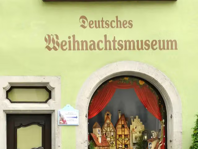
i
Photo: LBM1948 · Wikimedia Commons · CC BY-SA 4.0View the photo on Wikimedia CommonsMuseum · after 738 m

Museum · after 738 m
Observation tower · after 738 m
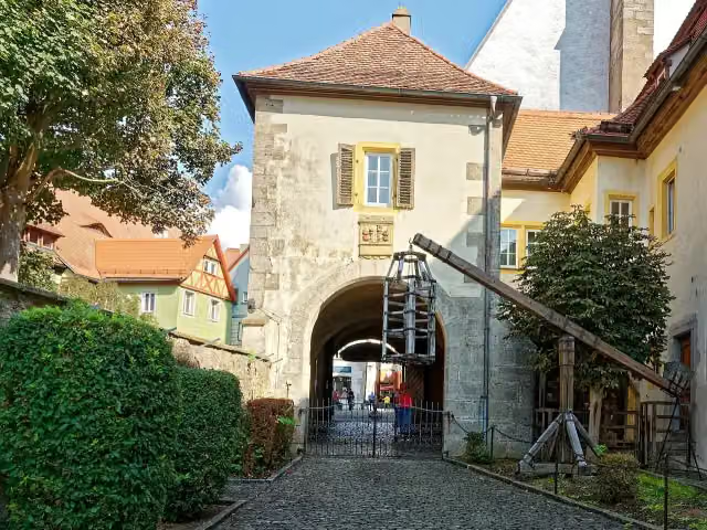
i
Photo: Holger Uwe Schmitt · Wikimedia Commons · CC BY-SA 4.0View the photo on Wikimedia CommonsMuseum · after 865 m
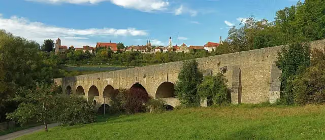
Attraction · after 1.7 km
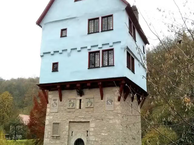
Attraction · after 2.6 km
Memorial · after 37 km
Elevation and terrain
- Up
- ↑ 1,518 m
- Down
- ↓ 1,809 m
- Highest point
- 477 m
- Lowest point
- 129 m
- 5-10% slope · 15.5 km
Elevation from Copernicus GLO-30 (European Union and ESA), smoothed.
produced using Copernicus WorldDEM-30 © DLR e.V. 2010-2014 and © Airbus Defence and Space GmbH 2014-2018 provided under COPERNICUS by the European Union and ESA; all rights reserved
Way types
162.6 km in total- Track: 51.4 km
- Road: 50.1 km
- Street: 34.9 km
- Path: 17.4 km
- Busy road: 5.3 km
- Cycle path: 2.9 km
- Footpath (walk your bike): 450 m
Surfaces
162.6 km in total- Asphalt: 89.8 km
- Paved: 13.2 km
- Gravel: 7.2 km
- Unknown: 52.2 km
About the cycle route Liebliches Taubertal - Der "Sportive"
Updated on 14 November 2026, with data from OpenStreetMap, the AHN and Copernicus.
Where do you cycle?
Liebliches Taubertal - Der "Sportive" is a cycle route of 162.6 km that starts in Rothenburg ob der Tauber. It does not end where it starts. Along the way you pass Alt-Rothenburger Handwerkerhaus (after 581 m), German Christmas Museum (after 738 m) and Rothenburg Town History Museum (after 738 m).
How hard is the route?
You climb 1,518 m in total and descend 1,809 m. Allow ± 10:50 h, without breaks. The level is hard.
What roads do you cycle on?
The longest part is track (51.4 km), road (50.1 km) and street (34.9 km). Of the surface, 89.8 km asphalt and 13.2 km paved. For 52.2 km the surface is not known.
Pitstops along the way
Within 100 metres of the route there are 279 benches, 2 water fountains and refill points, 11 public toilets, 7 bike pumps and 1 honesty box. You can fill your bottle after 738 m and after 929 m. The longest stretch without a toilet is 94.9 km. The Outdoor Pitstop app navigates you there.
Cycle routes nearby
6- Kraichgau-Hohenlohe-RadwegHard · From A to B184.9 km
- Altmühltal-RadwegHard · From A to B243.2 km
- Paneuropa Route - part Germany 2Hard · From A to B292.4 km
- Tauber-Altmühl-RadwegHard · From A to B342 km
- Fränkischer WasserRadweg - Etappe 6Hard · From A to B60.7 km
- Burgenstraße Abschnitt 3Hard · From A to B169.4 km
Sights nearby
Within 10 km of the route, best known first.
- 1
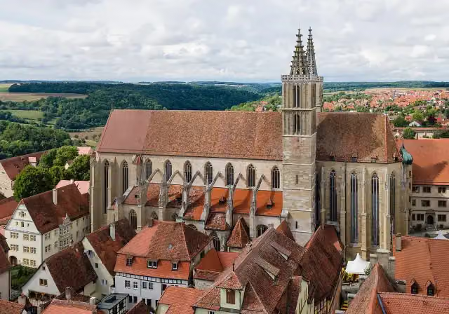 St James' ChurchAttraction · 164 m from the route
- 2
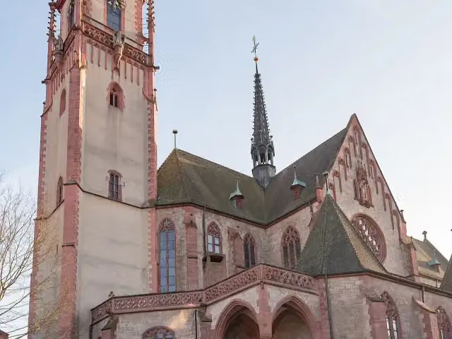 St. MartinAttraction · 4.4 km from the route
- 3
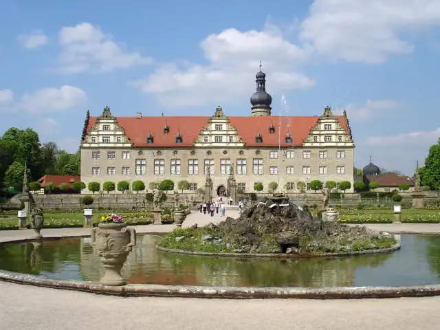 Schloss WeikersheimAttraction · 8.4 km from the route
- 4
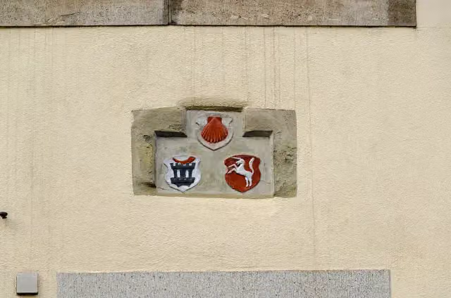 MemorialMemorial · 115 m from the route
- 5
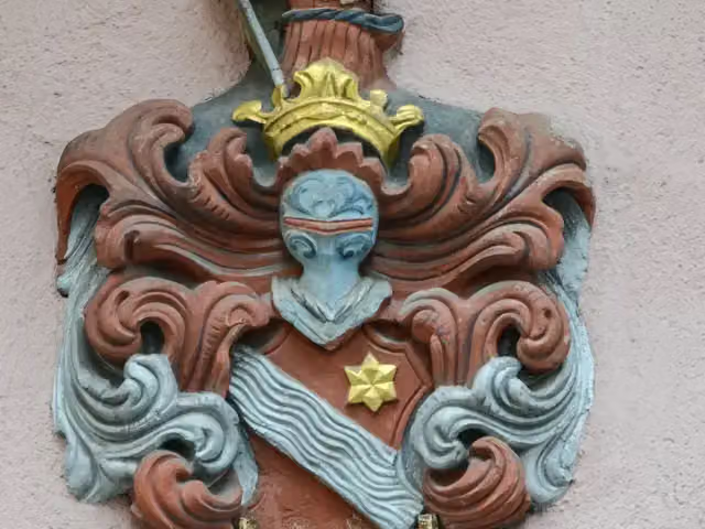 MemorialMemorial · 124 m from the route
- 6
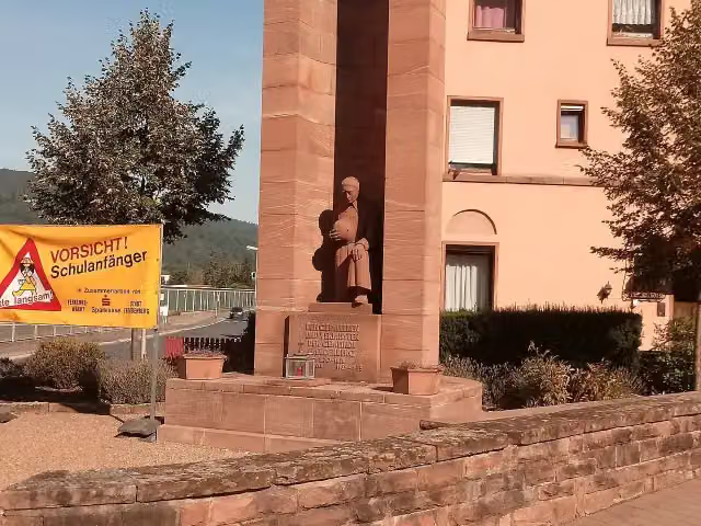 MemorialMemorial · 133 m from the route
- 7
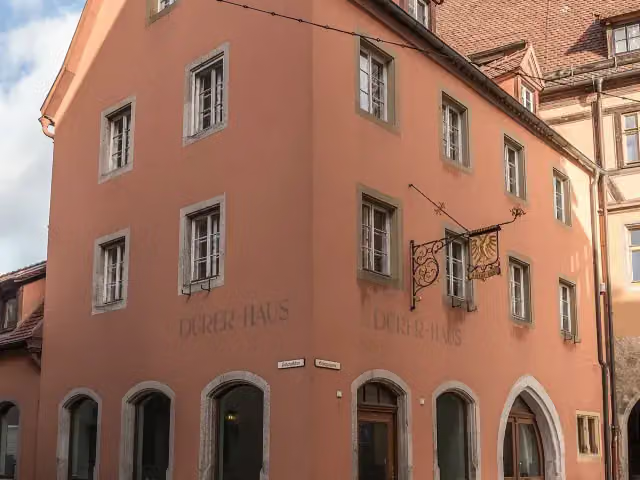 Grafikmuseum im DürerhausMuseum · 143 m from the route
- 8
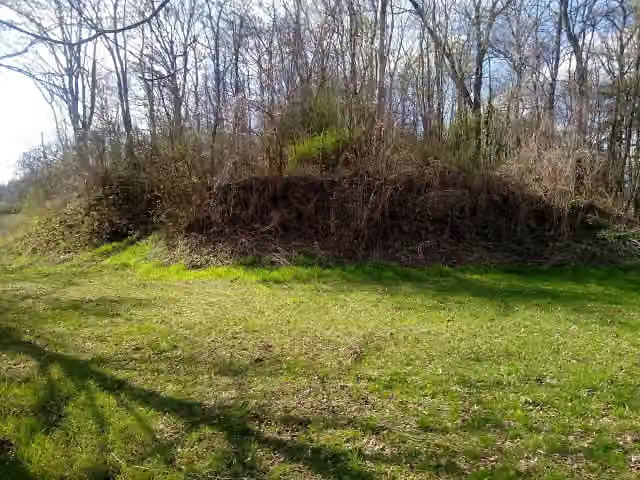 Burg SchüpfCastle · 157 m from the route
- 9
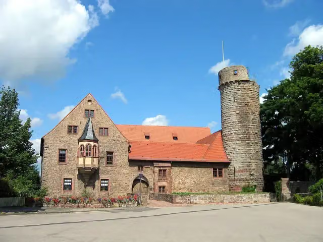 Schloss KülsheimCastle · 158 m from the route
- 10
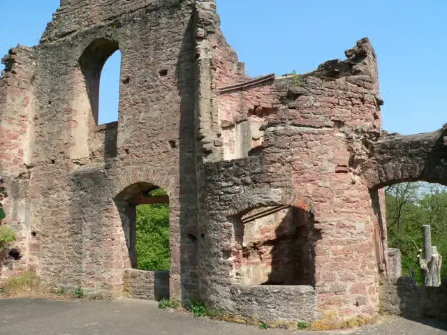 CollenburgAttraction · 163 m from the route
- 11
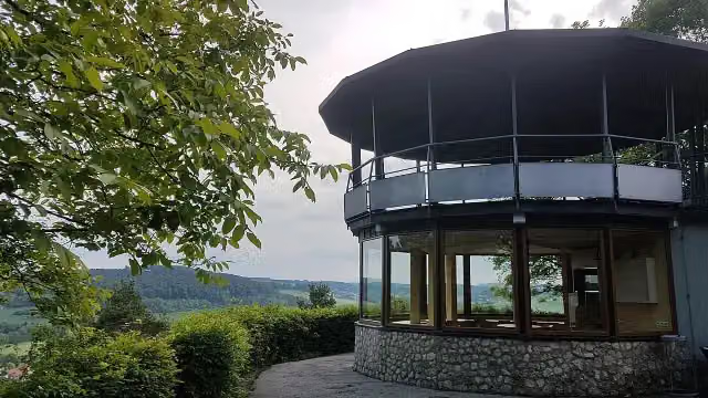 Pavillon SchweigernObservation tower · 173 m from the route
- 12
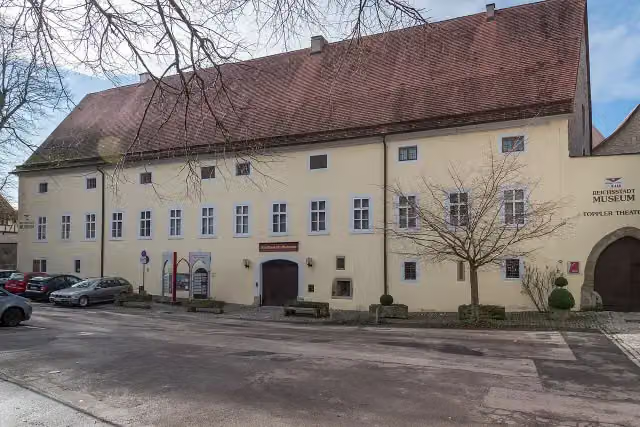 DominikanerinnenklosterMuseum · 173 m from the route
- 13
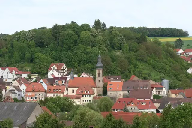 Burgruine BoxbergCastle · 182 m from the route
- 14
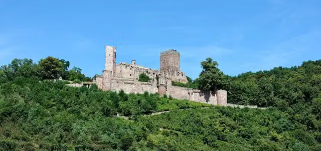 HenneburgCastle · 195 m from the route
- 15
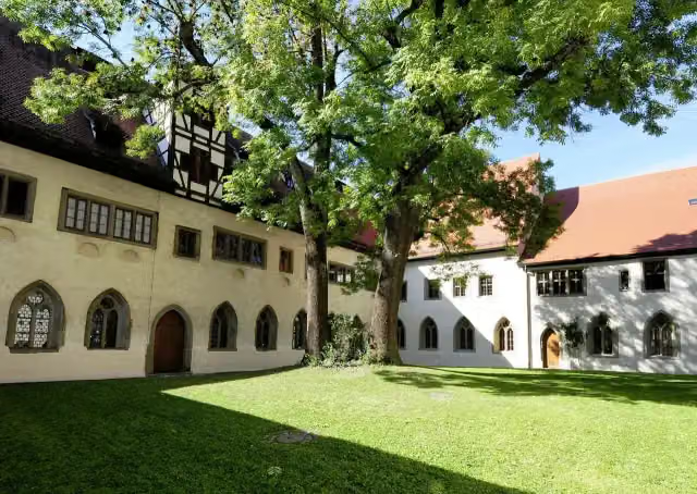 RothenburgMuseumMuseum · 200 m from the route
- 16
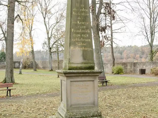 KriegerdenkmalMemorial · 218 m from the route
- 17
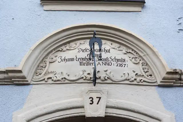 MemorialMemorial · 228 m from the route
- 18
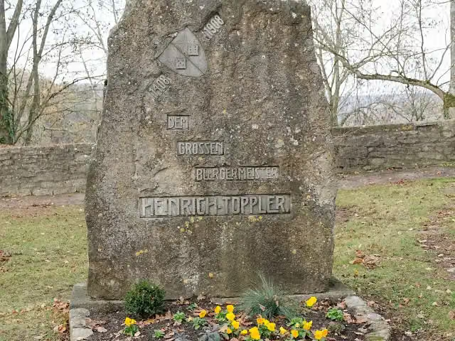 Heinrich Toppler GedenksteinMemorial · 235 m from the route
- 19
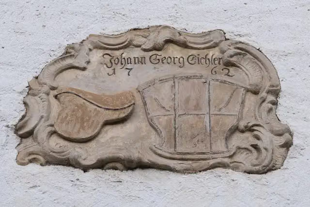 MemorialMemorial · 247 m from the route
- 20
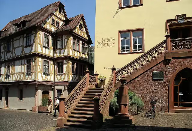 Grafschaftsmuseum WertheimMuseum · 252 m from the route
- 21
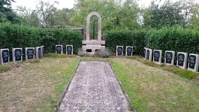 MemorialMemorial · 256 m from the route
- 22
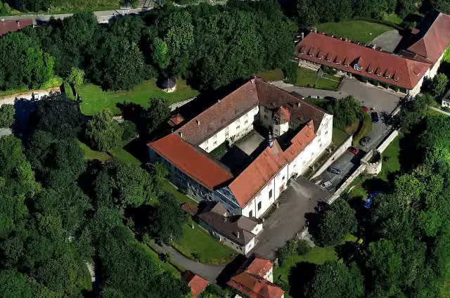 Schloss HaltenbergstettenCastle · 269 m from the route
- 23
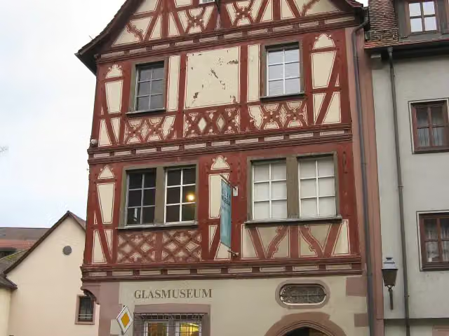 GlasmuseumMuseum · 282 m from the route
- 24
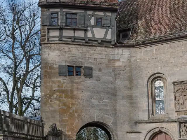 SchäfertanzmuseumMuseum · 294 m from the route
- 25
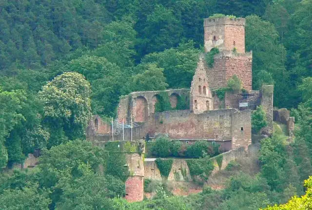 FreudenburgCastle · 348 m from the route
Explore more
More cycle routes around Rothenburg ob der Tauber
Frequently asked questions
How long is Liebliches Taubertal - Der "Sportive"?
Liebliches Taubertal - Der "Sportive" is 162.6 km long. Allow ± 10:50 h of riding: 15 km an hour, without breaks.
Is this route a circular ride?
No, the route starts and ends at different spots.
Where does this route start?
The route starts in Rothenburg ob der Tauber.
How hard is this route?
Hard, with 1,518 m of climbing.
Are there toilets along this route?
Yes, there are 11 public toilets within 100 m of the route. The longest stretch without a toilet is 94.9 km.
Can you fill up with water along this route?
Yes, there are 2 water fountains and refill points within 100 m of the route.
What is there to see along this route?
Along the way you pass Alt-Rothenburger Handwerkerhaus, German Christmas Museum and Rothenburg Town History Museum.
Can I download this route as a GPX file?
Yes. Sign in with your Outdoor Pitstop account and choose Download GPX at the top of this page: 10 routes a month for free, unlimited with Pro.
Starting point
More routes from this place
Route data © OpenStreetMap contributors





