 Outdoor Pitstop
Cycle route · Visé · Updated on 5 November 2026
Heuvelroute cycle route
Heuvelroute is a cycle route of 11.4 km from Visé. Along the way you'll find 31 benches and picnic tables and 1 bike pump.
The route step by step
From start to finish, with what you pass along the way and the distance in between.
- 11.4 km
- ± 45 min
- Easy
- From A to B
- National route
- Colour of the signs
Pick a stage to see the pitstops per kilometre. Along the way you'll find 31 benches and picnic tables and 1 bike pump.
Follow these steps in the appNo public toilet along the wayThere is no public toilet within 100 m of the route. Go before you start, or find one a bit further away in the app.
The route with the water points, toilets and sights within 100 m of it.
Stages (1)
Elevation and terrain
Way types
11.4 km in total- Road: 6 km
- Cycle path: 3.2 km
- Street: 1.6 km
- Path: 325 m
- Footpath (walk your bike): 125 m
- Unknown: 150 m
Surfaces
11.4 km in total- Paved: 5 km
- Asphalt: 4.4 km
- Unknown: 2 km
About the cycle route Heuvelroute
Updated on 5 November 2026, with data from OpenStreetMap and the AHN.
Where do you cycle?
Heuvelroute is a cycle route of 11.4 km that starts in Visé. It does not end where it starts. You start in Poperinge and finish in Voeren.
How hard is the route?
Allow ± 45 min, without breaks. The level is easy.
What roads do you cycle on?
The longest part is road (6 km), cycle path (3.2 km) and street (1.6 km). Of the surface, 5 km paved and 4.4 km asphalt. For 2 km the surface is not known.
Pitstops along the way
Within 100 metres of the route there are 31 benches and picnic tables and 1 bike pump. There is no public toilet within 100 metres of the route. The Outdoor Pitstop app navigates you there.
The Heuvelroute is a 459 km LF icon route from Poperinge to Voeren, mostly through Flanders; our data cover a section of just over 11 km by the Maas near Eijsden. You ride through the municipalities of Eijsden-Margraten, Visé (Wezet) and Voeren, past Laag- and Hoog-Caestert, Mariadorp, Eijsden and Mesch, and by the Thier de Caster and La Frayère de Lanaye nature areas. Over a quarter is cycle path, the rest mostly road. We know of a bike pump on the way, but no drinking water or toilet. The route is managed by Toerisme Vlaanderen.
Source: Wikipedia (CC BY-SA)
Cycle routes nearby
5Sights nearby
Within 10 km of the route, best known first.
- 1
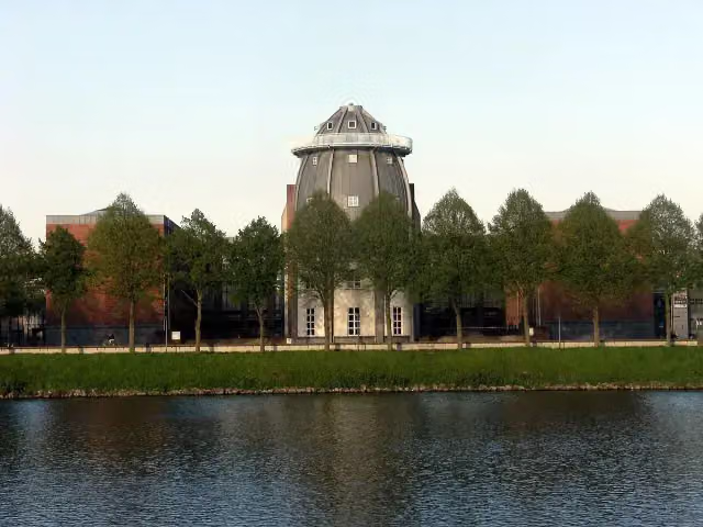 BonnefantenmuseumMuseum · 5.3 km from the route
- 2
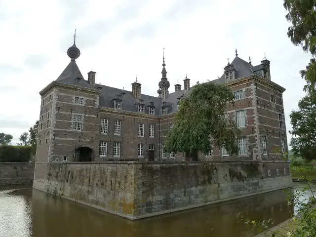 Eijsden CastleCastle · 112 m from the route
- 3
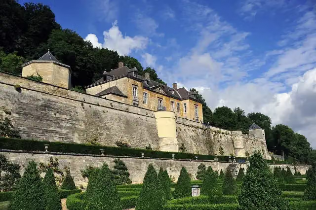 Château NeercanneCastle · 3 km from the route
- 4
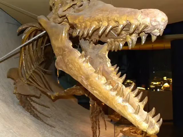 Natuurhistorisch Museum MaastrichtMuseum · 5.5 km from the route
- 5
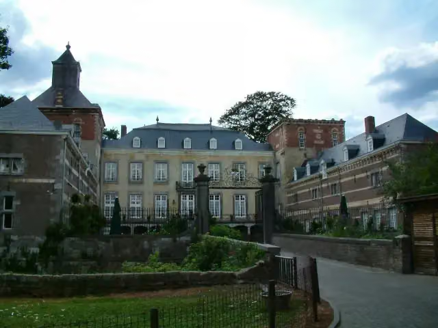 Kasteel BorgharenCastle · 9.2 km from the route
- 6
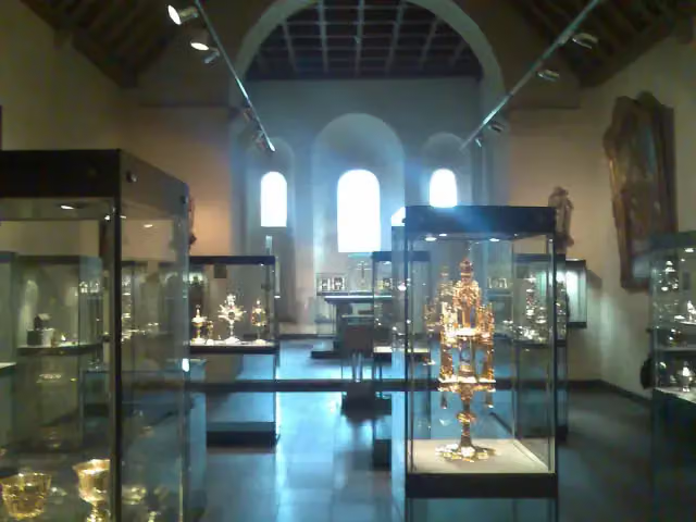 Treasury of the Basilica of Saint ServatiusMuseum · 6 km from the route
- 7
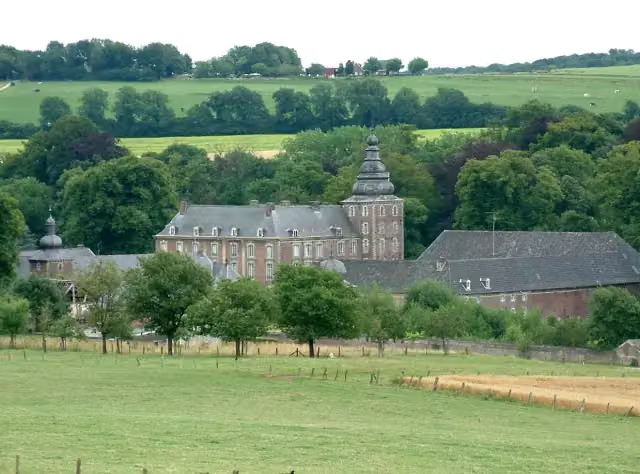 Kasteel NeubourgCastle · 6.6 km from the route
- 8
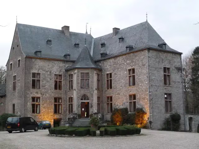 Kasteel WittemCastle · 8.3 km from the route
- 9
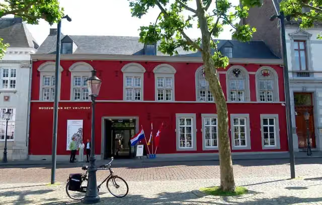 Museum aan het VrijthofMuseum · 5.9 km from the route
- 10
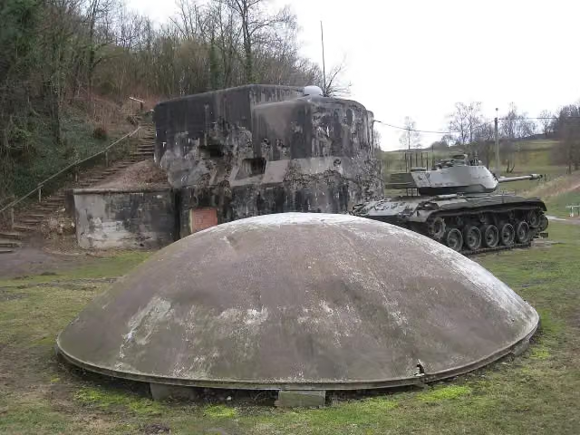 Fort d'Eben EmaelAttraction · 685 m from the route
- 11
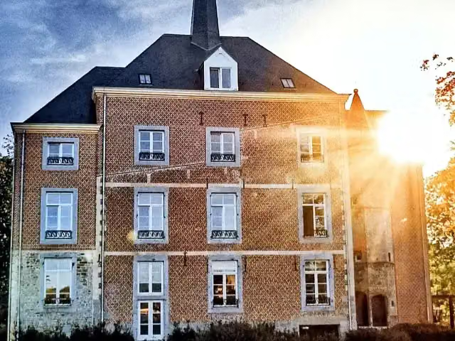 Van Oys Maastricht RetreatCastle · 1 km from the route
- 12
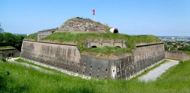 Fort Sint PieterAttraction · 4.5 km from the route
- 13
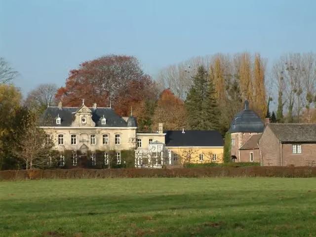 Kasteel CartilsCastle · 8.7 km from the route
- 14
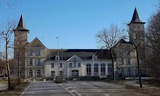 La Grande SuisseCastle · 8.7 km from the route
- 15
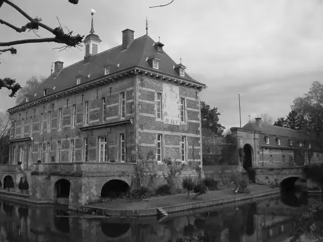 Kasteel WijlreCastle · 9 km from the route
- 16
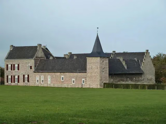 SibberhuuskeCastle · 9.8 km from the route
- 17
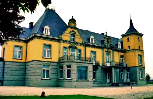 Kasteel HoogenweerthCastle · 3 km from the route
- 18
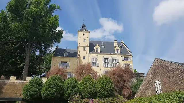 Huis De TorentjesCastle · 4.1 km from the route
- 19
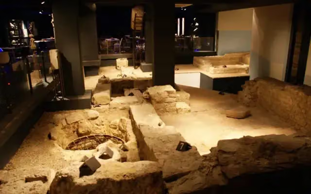 Museumkelder DerlonMuseum · 5.8 km from the route
- 20
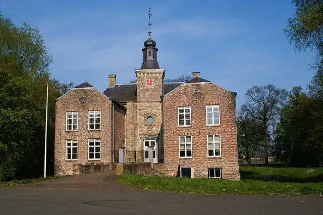 Kasteel GeusseltCastle · 7.5 km from the route
- 21
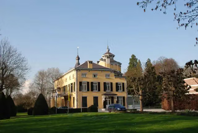 Villa KruisdonkCastle · 9.4 km from the route
- 22
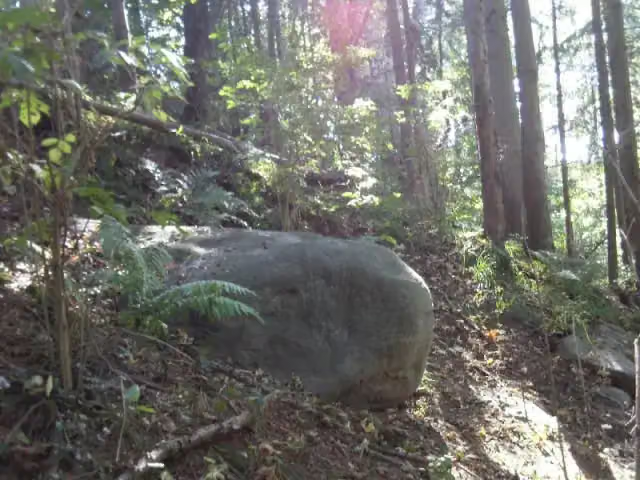 Slijpsteen van SlenakenArchaeological site · 2.9 km from the route
- 23
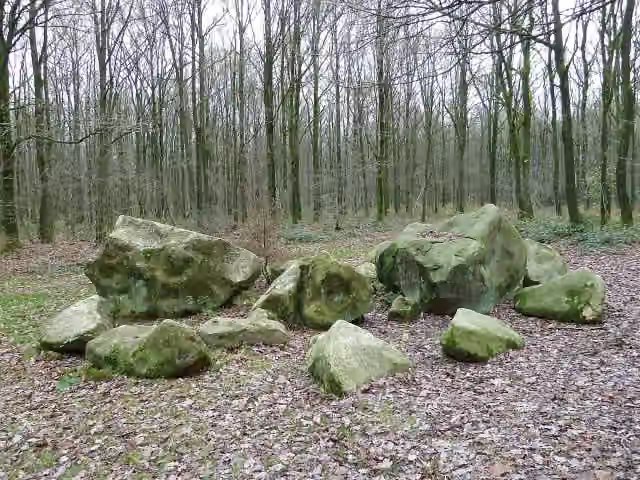 Geologisch monument ZandsteenblokkenMemorial · 8.9 km from the route
- 24
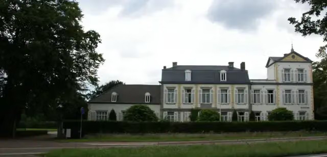 WithuishofCastle · 7.2 km from the route
- 25
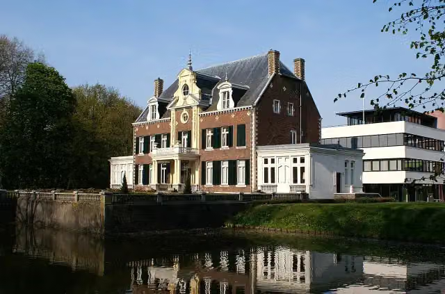 Huis SeverenCastle · 7.9 km from the route
Explore more
More cycle routes around Visé
Frequently asked questions
How long is Heuvelroute?
Heuvelroute is 11.4 km long. Allow ± 45 min of riding: 15 km an hour, without breaks.
Is this route a circular ride?
No, the route runs from Poperinge to Voeren.
Where does this route start?
The route starts in Visé.
How hard is this route?
Easy.
Are there toilets along this route?
No, there is no public toilet within 100 m of the route. Go before you start.
Can you fill up with water along this route?
No, there is no water point within 100 m of the route. Bring enough water.
Starting point
More routes from this place
Route data © OpenStreetMap contributors





