 Outdoor Pitstop
Walks near Barneveld
1-12 of 44+ walks
Within 10 km of Barneveld, nearest first.
Sort: Nearest first
- 1
WNW Veluwe - Woeste Hoef - groene route
Veluwe walking network - Woeste Hoef - green route
8.5 km · Circular walk
± 1:55 hEasy
4benches and picnic tables1public toilet0water fountains and refill points
- 2
Griezeveensepad
Griezeveen Trail
13.1 km · Circular walk
± 2:55 hModerate
3benches and picnic tables0public toilets0water fountains and refill points
- 3
Overstaproute Griezeveensepad - Appelpad
Transfer route Griezeveen Trail - Appel Trail
5.5 km · From A to B
± 1:15 hEasy
5benches and picnic tables0public toilets0water fountains and refill points
- 4
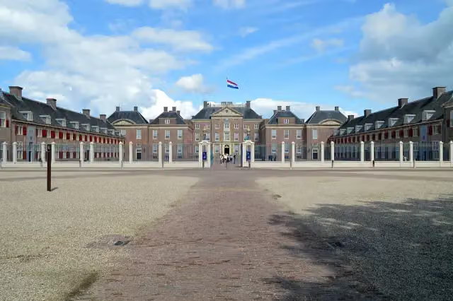
Koninklijke Weg
Royal Way
178.1 km · From A to B
± 39:50 hHard
554benches and picnic tables7public toilets13water fountains and refill points
- 5
WNW Veluwe - Barneveld/Barneveld-Zuid- paarse route
Veluwe walking network - Barneveld/Barneveld-Zuid - purple route
5.8 km · Circular walk
± 1:15 hEasy
16benches and picnic tables2public toilets2water fountains and refill points
- 6
WNW Veluwe - Barneveld - blauwe route
Veluwe walking network - Barneveld - blue route
8.4 km · Circular walk
± 1:50 hEasy
11benches and picnic tables2public toilets2water fountains and refill points
- 7
WNW Veluwe - Stroe - grijze route
Veluwe walking network - Stroe - grey route
9 km · Circular walk
± 2:00 hEasy
4benches and picnic tables0public toilets0water fountains and refill points
- 8
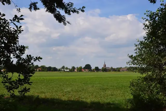
Marskramerpad - 12
Pedlars' Trail - 12
13.6 km · From A to B
± 3:00 hModerate
14benches and picnic tables0public toilets0water fountains and refill points
- 9
Appelpad
Apple Trail
7.9 km · Circular walk
± 1:45 hEasy
6benches and picnic tables0public toilets0water fountains and refill points
- 10
Overstaproute Kruishaarderpad - Appelpad
Transfer route Kruishaarder Trail - Appel Trail
3 km · From A to B
± 40 minEasy
1bench0public toilets0water fountains and refill points
- 11
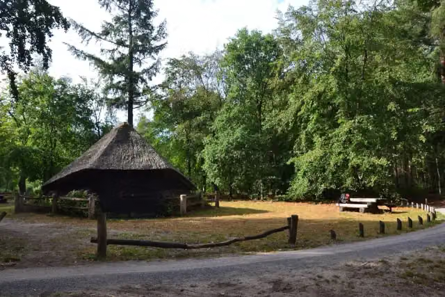
Marskramerpad - 11
Pedlars' Trail - 11
18.5 km · From A to B
± 4:05 hModerate
13benches and picnic tables0public toilets0water fountains and refill points
- 12
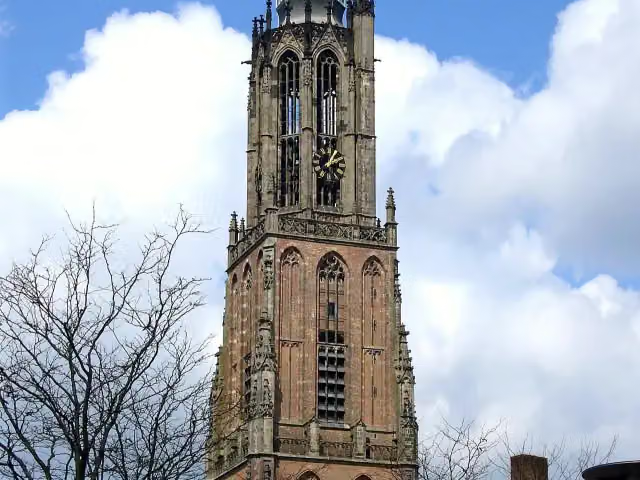
Marskramerpad - 13
Pedlars' Trail - 13
24.1 km · From A to B
± 5:20 hHard
71benches and picnic tables1public toilet0water fountains and refill points
Walks per province and place
Per province the places with the most routes. The province itself has them all.
Frisia
117 routes ›- Súdwest-Fryslân30 ›
- Noardeast-Fryslân25 ›
- Tytsjerksteradiel17 ›
- Leeuwarden15 ›
- Weststellingwerf14 ›
- De Fryske Marren13 ›





