 Outdoor Pitstop
Walking route · Woerden · Green Heart Trail (Main route) · Updated on 6 November 2026
Groene Hartpad (Hoofdroute) walk
Groene Hartpad (Hoofdroute) is a walk of 203.7 km from Woerden that starts and ends at the same spot. Along the way you'll find 615 benches and picnic tables, 24 water fountains and refill points and 18 public toilets.

i
i
The route step by step
From start to finish, with what you pass along the way and the distance in between.
- 203.7 km
- ± 4:05 h per stage
- ↑ 47 m · ↓ 48 m
- Moderate per stage
- Circular walk
- Regional route
Pick a stage to see the pitstops per kilometre. Along the way you'll find 615 benches and picnic tables, 24 water fountains and refill points and 18 public toilets.
Follow these steps in the appThe route with the water points, toilets and sights within 100 m of it.
7 sights along the way
In the order you pass them. With the Outdoor Pitstop app you hear their story on the spot.
- Story
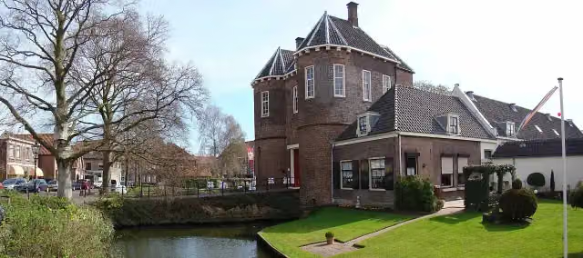
Kasteel Montfoort
Castle · after 11.5 km

Observation tower · after 31.8 km
- Audio story · 2 min
i
Photo: FrDr · Wikimedia Commons · CC BY-SA 4.0View the photo on Wikimedia CommonsHet Prinsenhof
Museum · after 122.8 km
i
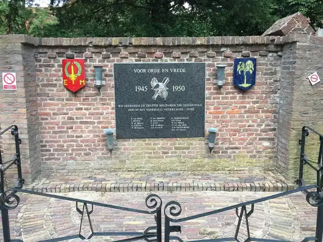
Photo: Vysotsky · Wikimedia Commons · CC BY-SA 4.0View the photo on Wikimedia CommonsMemorial · after 122.8 km
 Audio story · 2 min
i
Photo: Ferditje · Wikimedia Commons · CC BY-SA 3.0View the photo on Wikimedia CommonsOld Church
Attraction · after 122.9 km
 Audio story · 2 min
i
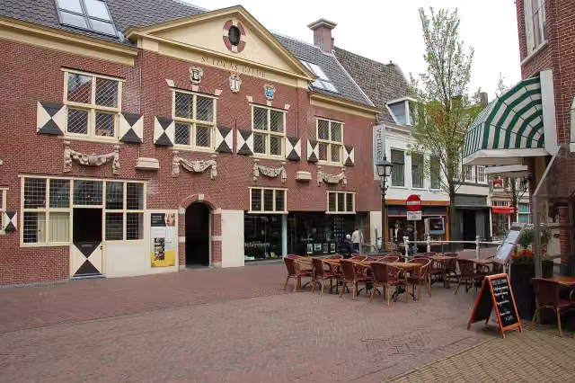
Photo: Ralf Roletschek (talk) - Fahrradtechnik auf fahrradmonteur.de · Wikimedia Commons · GFDL 1.2View the photo on Wikimedia CommonsVermeer Centrum
Museum · after 123.2 km
 Audio story · 2 min
i
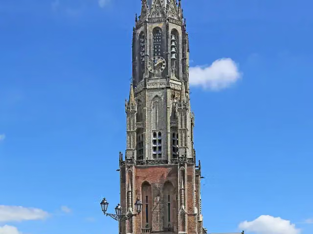
Photo: W. Bulach · Wikimedia Commons · CC BY-SA 4.0View the photo on Wikimedia CommonsNew Church
Attraction · after 123.4 km
Stages (11)
- 1Groene Hartpad - 1Green Heart Trail - 122.1 km
- 2Groene Hartpad - 2Green Heart Trail - 223.9 km
- 3Groene Hartpad - 3Green Heart Trail - 322.3 km
- 4Groene Hartpad - 4Green Heart Trail - 415.9 km
- 5Groene Hartpad - 5Green Heart Trail - 519.5 km
- 6Groene Hartpad - 6Green Heart Trail - 618.7 km
- 7Groene Hartpad - 7Green Heart Trail - 716 km
- 8Groene Hartpad - 8Green Heart Trail - 814.6 km
- 9Groene Hartpad - 9Green Heart Trail - 918.1 km
- 10Groene Hartpad - 10Green Heart Trail - 1020.6 km
- 11Groene Hartpad - 11Green Heart Trail - 1111.8 km
Elevation and terrain
- Up
- ↑ 47 m
- Down
- ↓ 48 m
- Highest point
- 13 m
- Lowest point
- -6 m
- 5-10% slope · 221 m
- 17 stairs
Elevation from AHN (Rijkswaterstaat), smoothed.
Way types
203.7 km in total- Path: 55.1 km
- Footpath: 48 km
- Road: 44.8 km
- Cycleway: 31.7 km
- Street: 14.1 km
- Track: 8.3 km
- Stairs: 17 stairs
- Unknown: 125 m
Surfaces
203.7 km in total- Asphalt: 59.5 km
- Natural: 36.9 km
- Gravel: 20.3 km
- Paved: 18.9 km
- Unpaved: 10.1 km
- Unknown: 57.1 km
About the walking route Groene Hartpad (Hoofdroute)
Updated on 6 November 2026, with data from OpenStreetMap and the AHN.
Where do you walk?
Groene Hartpad (Hoofdroute) is a circular walk of 203.7 km from Woerden: it starts and ends in the same place. Along the way you pass Kasteel Montfoort (after 11.5 km), Observation tower (after 31.8 km) and Het Prinsenhof (after 122.8 km).
How hard is the route?
You climb 47 m in total and descend 48 m. There are 17 flights of steps along the way. Allow ± 4:05 h per stage, without breaks. Per stage the level is moderate.
What paths do you walk on?
The longest part is path (55.1 km), footpath (48 km) and road (44.8 km). Of the surface, 59.5 km asphalt and 36.9 km natural. For 57.1 km the surface is not known.
Pitstops along the way
Within 100 metres of the route there are 615 benches and picnic tables, 24 water fountains and refill points and 18 public toilets. The Outdoor Pitstop app navigates you there.
Part of Groene Hartpad (Alle varianten) (Green Heart Trail)
Website of the routeWalks nearby
6- Groene Hartpad - 11 BroedseizoenModerate · From A to B11.6 km
- Koninklijke WegHard · From A to B178.1 km
- Floris V-pad - 5Moderate · From A to B12.2 km
- Romeinse Limespad - 6Moderate · From A to B16.5 km
- Floris V-pad - 4Hard · From A to B21 km
- Groene Hartpad - 05a - Variant broedseizoen/hondEasy · From A to B6.7 km
Sights nearby
Within 10 km of the route, best known first.
- 1
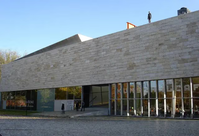 KunstHALMuseum · 3 km from the route
- 2
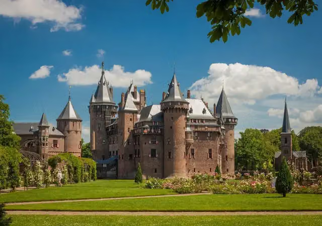 Kasteel de HaarAttraction · 7 km from the route
- 3
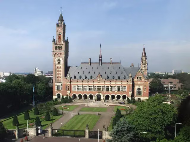 Peace PalaceAttraction · 8.8 km from the route
- 4
 Market HallAttraction · 1.8 km from the route
- 5
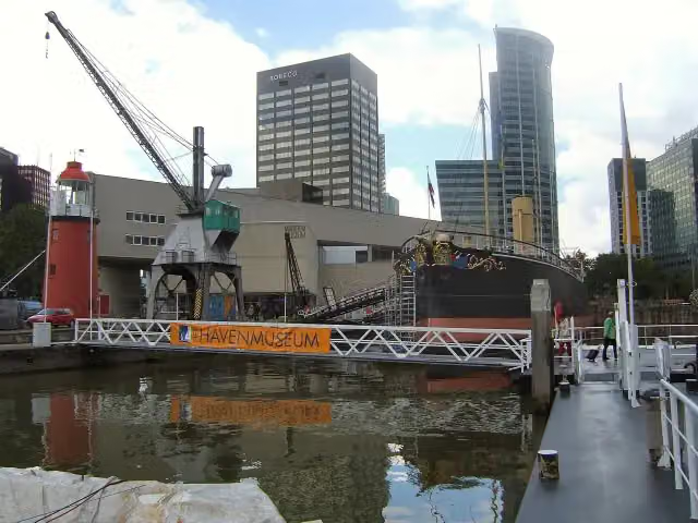 Maritime MuseumMuseum · 2.1 km from the route
- 6
 Royal DelftMuseum · 997 m from the route
- 7
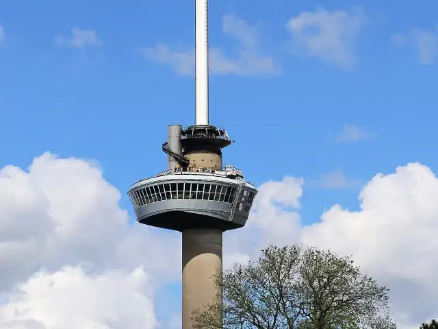 EuromastAttraction · 3.7 km from the route
- 8
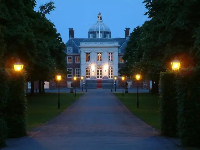 Huis ten BoschCastle · 7.8 km from the route
- 9
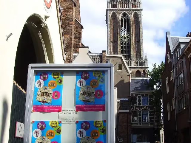 Museum SpeelklokMuseum · 8.4 km from the route
- 10
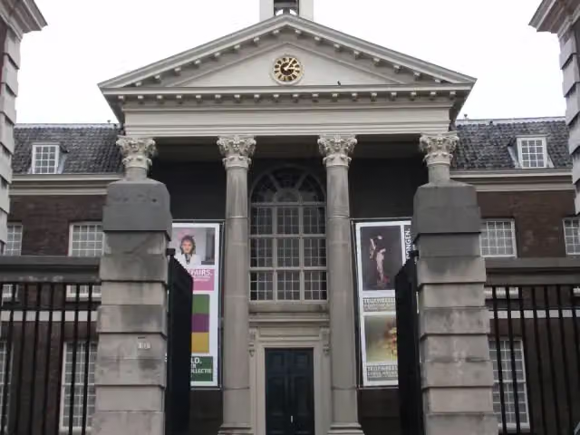 Stedelijk Museum SchiedamMuseum · 2.5 km from the route
- 11
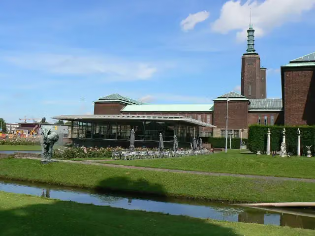 Museum Boijmans Van BeuningenMuseum · 2.6 km from the route
- 12
 Depot Boijmans Van BeuningenMuseum · 2.7 km from the route
- 13
 Nederlands FotomuseumMuseum · 3.7 km from the route
- 14
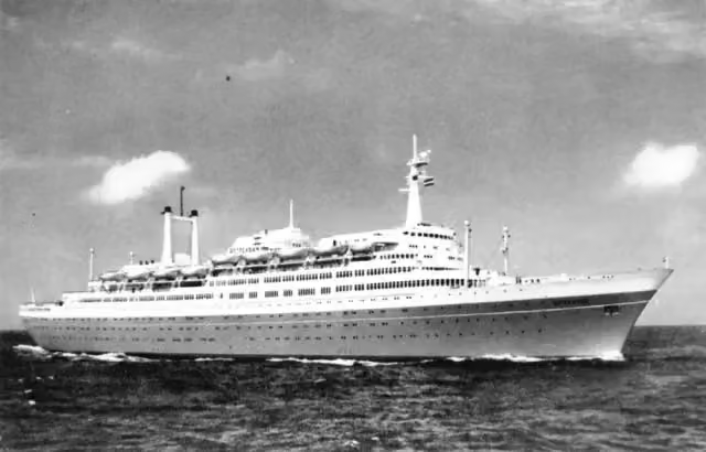 SS RotterdamAttraction · 4.3 km from the route
- 15
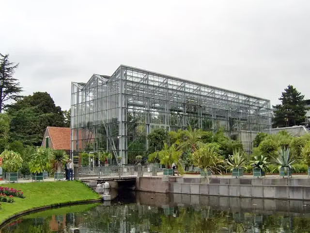 Hortus botanicus LeidenAttraction · 4.9 km from the route
- 16
 Rijksmuseum van OudhedenMuseum · 5 km from the route
- 17
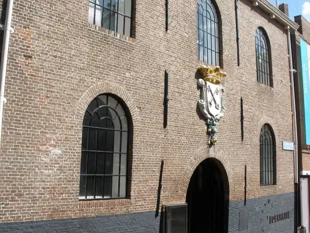 Rijksmuseum BoerhaaveMuseum · 5.2 km from the route
- 18
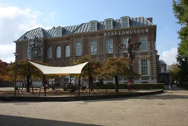 Wereldmuseum LeidenMuseum · 5.6 km from the route
- 19
 Naturalis Biodiversity CentreMuseum · 6.1 km from the route
- 20
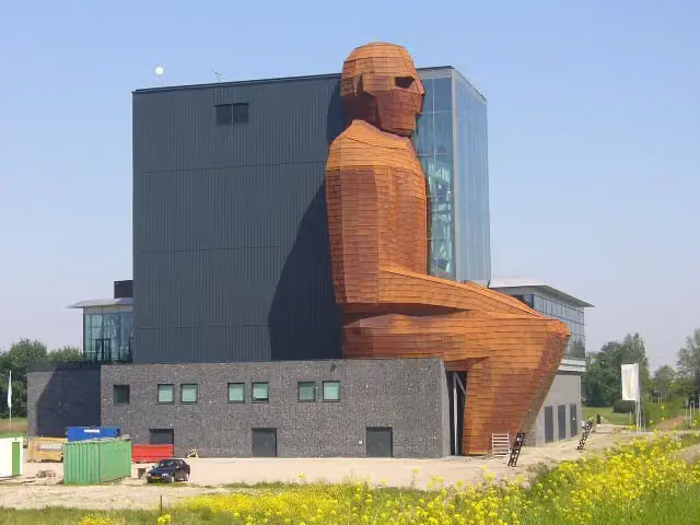 CorpusMuseum · 7.4 km from the route
- 21
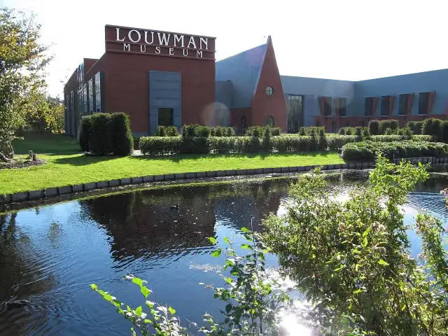 Louwman MuseumMuseum · 7.6 km from the route
- 22
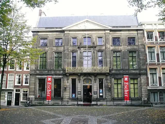 Escher in Het PaleisMuseum · 7.7 km from the route
- 23
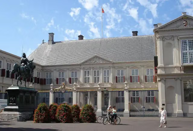 Paleis NoordeindeCastle · 7.8 km from the route
- 24
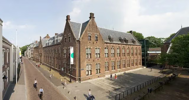 Centraal MuseumMuseum · 8.2 km from the route
- 25
 Museum CatharijneconventMuseum · 8.4 km from the route
Explore more
Frequently asked questions
How long is Groene Hartpad (Hoofdroute)?
Groene Hartpad (Hoofdroute) is 203.7 km long, in 11 stages of 18.5 km on average. Allow ± 4:05 h per stage of walking: 4.5 km an hour and 10 minutes more per 100 metres of climbing, without breaks.
Is this route a circular walk?
Yes, the route starts and ends at the same spot.
Where does this route start?
The route starts in Woerden.
How hard is this route?
Moderate per stage, with 4 m per stage of climbing.
Are there toilets along this route?
Yes, there are 18 public toilets within 100 m of the route.
Can you fill up with water along this route?
Yes, there are 24 water fountains and refill points within 100 m of the route.
What is there to see along this route?
Along the way you pass Kasteel Montfoort, Observation tower and Het Prinsenhof.
Starting point
More routes from this place
Route data © OpenStreetMap contributors





