 Outdoor Pitstop
Walking route · Krimpenerwaard · Great Rivers Trail - Variant Rottemeren) · Updated on 5 November 2026
Grote Rivierenpad - Variant Rottemeren) walk
Grote Rivierenpad - Variant Rottemeren) is a walk of 62.9 km from Krimpenerwaard. Along the way you'll find 172 benches and picnic tables, 4 water fountains and refill points and 3 public toilets.
i
The route step by step
From start to finish, with what you pass along the way and the distance in between.
- 62.9 km
- ± 3:30 h per stage
- ↑ 57 m · ↓ 57 m
- Moderate per stage
- From A to B
- National route
Pick a stage to see the pitstops per kilometre. Along the way you'll find 172 benches and picnic tables, 4 water fountains and refill points and 3 public toilets.
Follow these steps in the appThe route with the water points, toilets and sights within 100 m of it.
3 sights along the way
In the order you pass them. With the Outdoor Pitstop app you hear their story on the spot.

Observation tower · after 525 m
Ruins · after 55.1 km
- Story
i
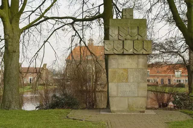
Photo: Henk Groenendaal · Wikimedia Commons · CC BY-SA 3.0 nlView the photo on Wikimedia CommonsOorlogsmonument Schipluiden
Memorial · after 55.3 km
Stages (4)
Elevation and terrain
- Up
- ↑ 57 m
- Down
- ↓ 57 m
- Highest point
- 23 m
- Lowest point
- -6 m
- 5-10% slope · 745 m
- 10-15% slope · 93 m
- 5 stairs
Elevation from AHN (Rijkswaterstaat), smoothed.
Way types
62.9 km in total- Footpath: 19.9 km
- Cycleway: 16.5 km
- Road: 14.7 km
- Path: 5.9 km
- Street: 5.2 km
- Track: 300 m
- Stairs: 5 stairs
- Unknown: 75 m
Surfaces
62.9 km in total- Asphalt: 24.9 km
- Gravel: 11.3 km
- Paved: 5.4 km
- Natural: 3.3 km
- Unpaved: 850 m
- Unknown: 16.8 km
About the walking route Grote Rivierenpad - Variant Rottemeren)
Updated on 5 November 2026, with data from OpenStreetMap and the AHN.
Where do you walk?
Grote Rivierenpad - Variant Rottemeren) is a walking route of 62.9 km that starts in Krimpenerwaard. It does not end where it starts. You start in Loetbos and finish in Maasland. Along the way you pass uitkijktoren Loetbos (after 525 m), Kasteel Keenenburg (after 55.1 km) and Oorlogsmonument Schipluiden (after 55.3 km).
How hard is the route?
You climb 57 m in total and descend 57 m. There are 5 flights of steps along the way. Allow ± 3:30 h per stage, without breaks. Per stage the level is moderate.
What paths do you walk on?
The longest part is footpath (19.9 km), cycleway (16.5 km) and road (14.7 km). Of the surface, 24.9 km asphalt and 11.3 km gravel. For 16.8 km the surface is not known.
Pitstops along the way
Within 100 metres of the route there are 172 benches and picnic tables, 4 water fountains and refill points and 3 public toilets. The Outdoor Pitstop app navigates you there.
Part of Grote Rivierenpad - Alle Varianten (Great Rivers Trail)
Website of the routeWalks nearby
6Sights nearby
Within 10 km of the route, best known first.
- 1
 KunstHALMuseum · 3.7 km from the route
- 2
 Market HallAttraction · 2.9 km from the route
- 3
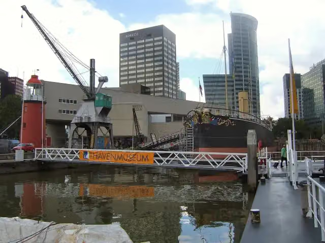 Maritime MuseumMuseum · 3.2 km from the route
- 4
 Royal DelftMuseum · 3.3 km from the route
- 5
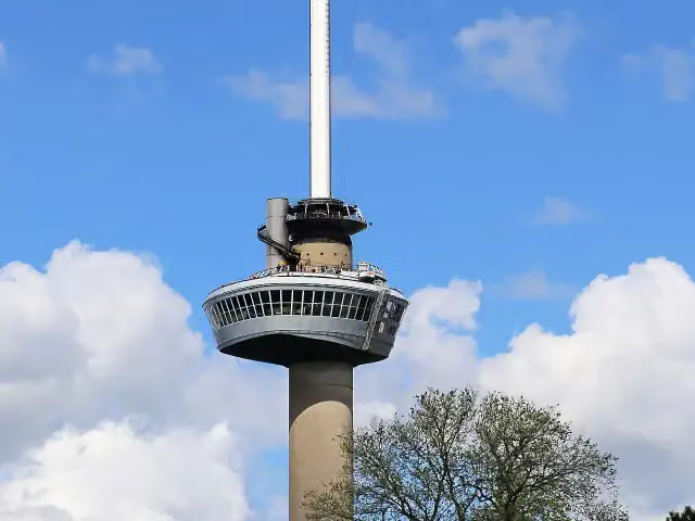 EuromastAttraction · 4.1 km from the route
- 6
 Stedelijk Museum SchiedamMuseum · 2.2 km from the route
- 7
 Depot Boijmans Van BeuningenMuseum · 3.3 km from the route
- 8
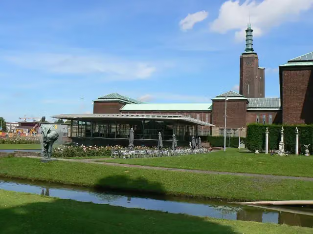 Museum Boijmans Van BeuningenMuseum · 3.3 km from the route
- 9
 Nederlands FotomuseumMuseum · 4.8 km from the route
- 10
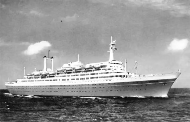 SS RotterdamAttraction · 5 km from the route
- 11
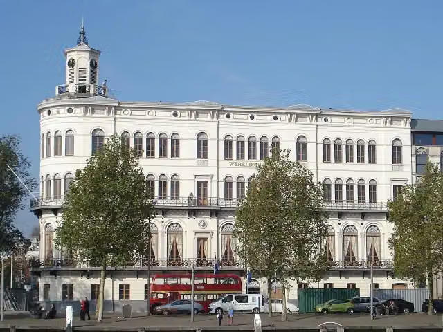 Wereldmuseum RotterdamMuseum · 4.2 km from the route
- 12
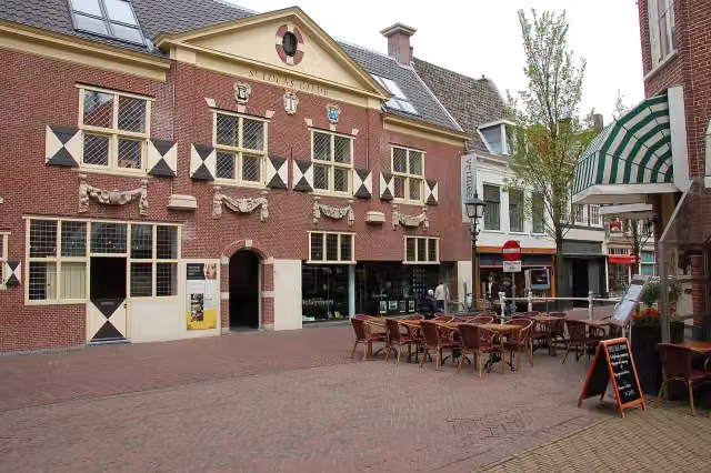 Vermeer CentrumMuseum · 4.2 km from the route
- 13
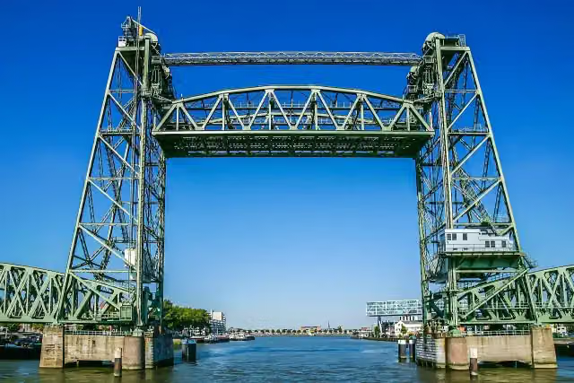 De HefAttraction · 3.7 km from the route
- 14
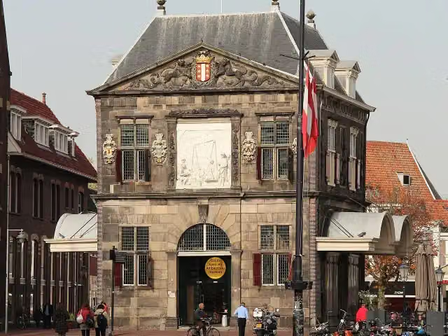 WaagAttraction · 3.8 km from the route
- 15
 Old ChurchAttraction · 4.2 km from the route
- 16
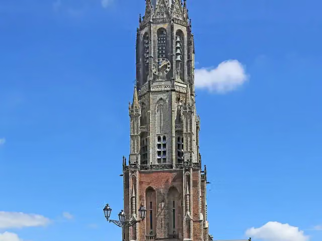 New ChurchAttraction · 4.2 km from the route
- 17
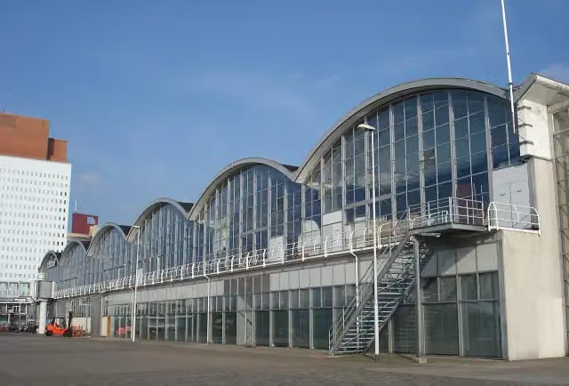 Rotterdam Cruise TerminalAttraction · 4.5 km from the route
- 18
 World Port CenterAttraction · 4.6 km from the route
- 19
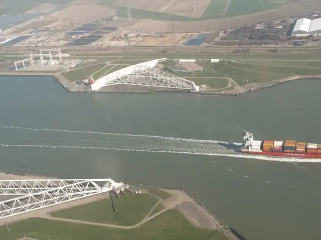 Maeslant BarrierAttraction · 8 km from the route
- 20
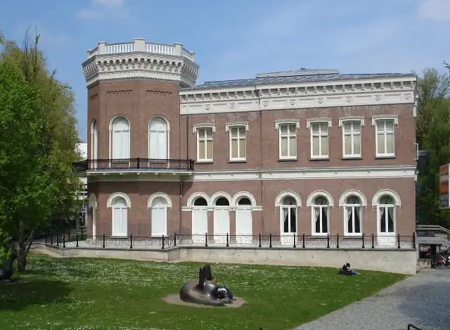 Natuurhistorisch Museum RotterdamMuseum · 3.7 km from the route
- 21
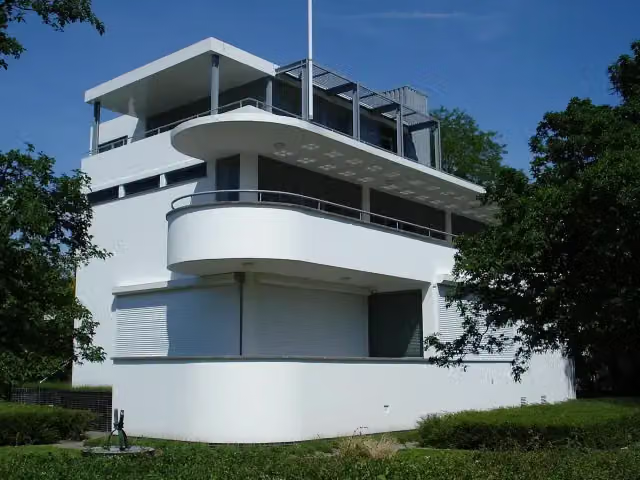 Chabot MuseumMuseum · 3.3 km from the route
- 22
 Floating FARMAttraction · 2.5 km from the route
- 23
 Kunstinstituut MellyMuseum · 3.3 km from the route
- 24
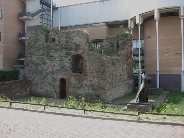 Huis te RiviereRuins · 1.9 km from the route
- 25
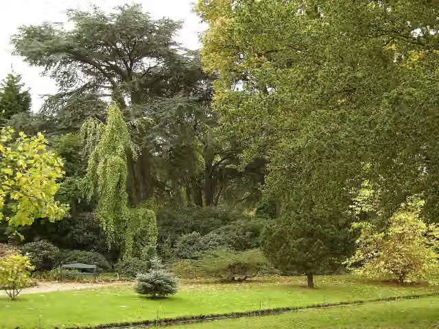 Arboretum TrompenburgAttraction · 3.3 km from the route
Explore more
Frequently asked questions
How long is Grote Rivierenpad - Variant Rottemeren)?
Grote Rivierenpad - Variant Rottemeren) is 62.9 km long, in 4 stages of 15.7 km on average. Allow ± 3:30 h per stage of walking: 4.5 km an hour and 10 minutes more per 100 metres of climbing, without breaks.
Is this route a circular walk?
No, the route runs from Loetbos to Maasland.
Where does this route start?
The route starts in Krimpenerwaard.
How hard is this route?
Moderate per stage, with 14 m per stage of climbing.
Are there toilets along this route?
Yes, there are 3 public toilets within 100 m of the route.
Can you fill up with water along this route?
Yes, there are 4 water fountains and refill points within 100 m of the route.
What is there to see along this route?
Along the way you pass uitkijktoren Loetbos, Kasteel Keenenburg and Oorlogsmonument Schipluiden.
Starting point
More routes from this place
Route data © OpenStreetMap contributors





