 Outdoor Pitstop
Walking route · Utrechtse Heuvelrug · Updated on 13 November 2026
Klompenpad Aderwinkelpad walk
Klompenpad Aderwinkelpad is a walk of 9.2 km from Utrechtse Heuvelrug that starts and ends at the same spot. Along the way you'll find 13 benches and 1 water point.
i
i
i
The route step by step
From start to finish, with what you pass along the way and the distance in between.
- 9.2 km
- ± 2:00 h
- ↑ 0 m · ↓ 0 m
- Easy
- Circular walk
- Local route
This route is in pieces in OpenStreetMap, so there are no kilometres per pitstop. Along the way you'll find 13 benches and 1 water point.
Follow these steps in the appNo public toilet along the wayThere is no public toilet within 100 m of the route. Go before you start, or find one a bit further away in the app.
The route with the pitstops and sights within 100 m of it.
3 sights along the way
In the order you pass them. With the Outdoor Pitstop app you hear their story on the spot.
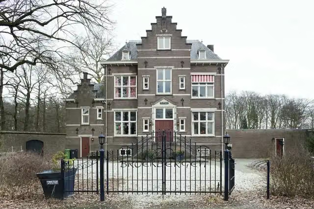
Broekbergen
Castle
- Story
i
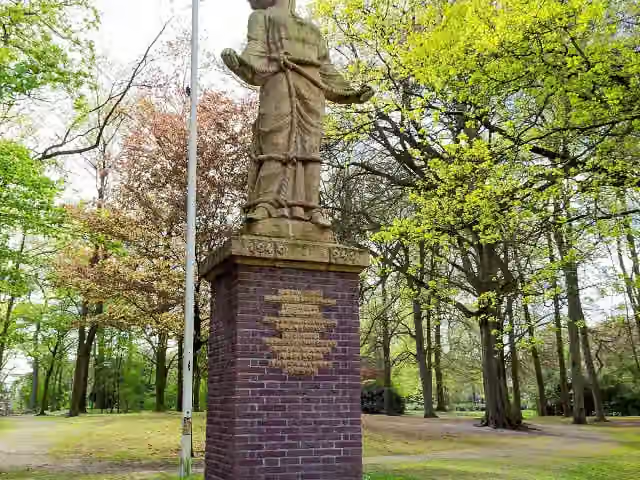
Photo: Floor Kooijman · Wikimedia Commons · CC BY-SA 3.0 nlView the photo on Wikimedia CommonsVerzetsmonument 1940-1945
Memorial
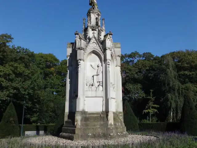
Schaepmanmonument
Memorial
Elevation and terrain
- Up
- ↑ 0 m
- Down
- ↓ 0 m
- Highest point
- 6 m
- Lowest point
- 2 m
Nowhere steeper than 5%.
Elevation from AHN (Rijkswaterstaat), smoothed.
Way types
9.2 km in total- Road: 3.8 km
- Track: 2.5 km
- Path: 1.1 km
- Footpath: 675 m
- Street: 632 m
- Cycleway: 380 m
Surfaces
9.2 km in total- Asphalt: 4.1 km
- Natural: 1.8 km
- Paved: 1.1 km
- Unpaved: 900 m
- Gravel: 200 m
- Unknown: 1.1 km
About the walking route Klompenpad Aderwinkelpad
Updated on 13 November 2026, with data from OpenStreetMap, the AHN and Copernicus.
Where do you walk?
Klompenpad Aderwinkelpad is a circular walk of 9.2 km from Utrechtse Heuvelrug: it starts and ends in the same place.
How hard is the route?
The route is almost flat. You climb 0 m in total and descend 0 m. Allow ± 2:00 h, without breaks. The level is easy.
What paths do you walk on?
The longest part is road (3.8 km), track (2.5 km) and path (1.1 km). Of the surface, 4.1 km asphalt and 1.8 km natural. For 1.1 km the surface is not known.
Pitstops along the way
Within 100 metres of the route there are 13 benches and 1 water point. There is no public toilet within 100 metres of the route. The Outdoor Pitstop app navigates you there.
Klompenpad Aderwinkelpad walk: a local 9.2 km circular walk
The Aderwinkelpad is a local walking route of 9.2 km. It is a circular route, so you start and finish in the same place. You do not need to walk back or arrange other transport afterwards. This page has everything you need about the klompenpad Aderwinkelpad walk to help you prepare well. The map shows the route, so you know where you are walking and where you can follow the loop. The elevation profile shows how the route changes over the distance. The pitstops along the way are also listed on the page: the public toilets, drinking water and benches. That way you can decide in advance where to take a break and whether you need to bring your own water. At 9.2 km, this is a route you can walk in one go. Check the map and the elevation profile, then choose for yourself where you would like to stop along the way.
Surfaces and types of path
On the Aderwinkelpad route you walk over a mix of surfaces. Of all the kilometres, 51% is asphalt. The rest is made up of natural ground at 23%, paved surfaces at 13% and unpaved surfaces at 11%. So just over half of the route is on asphalt, and the remainder is on other types of surface. The types of path also vary. Most of the route, 42%, is an ordinary road. Field tracks and forest tracks follow with 27%. You also walk 12% on footpaths, 7% on pavements and 7% on streets. At 9.2 km, these together are the paths you walk along the whole loop.
Along the way: pit stops and points of interest
Along the route you pass 1 water point and 13 benches. You can top up your bottle at the water point and take a relaxed break on the benches. Spread your stops along the route, as the water point is only in one place. You will also see a few points of interest. You pass the Schaepmanmonument and the Verzetsmonument 1940-1945, both memorials. You also walk past Broekbergen, a castle. You can pause at these spots before continuing on your way.
Walks nearby
6- Rondom de Dom part 7 - Soestduinen - Driebergen-Zeist NSHard · From A to B20.1 km
- NS-wandeling Utrechtse HeuvelrugModerate · From A to B15.4 km
- Kromme RijnpadHard · From A to B28.6 km
- Romeinse Limespad - 10Moderate · From A to B18.3 km
- Utrechtpad etappe 2Moderate · From A to B13.6 km
- Rondom de Dom part 1 - Driebergen-Zeist NS - Utrecht Lunetten NSModerate · From A to B11.8 km
Sights nearby
Within 10 km of the route, best known first.
- 1
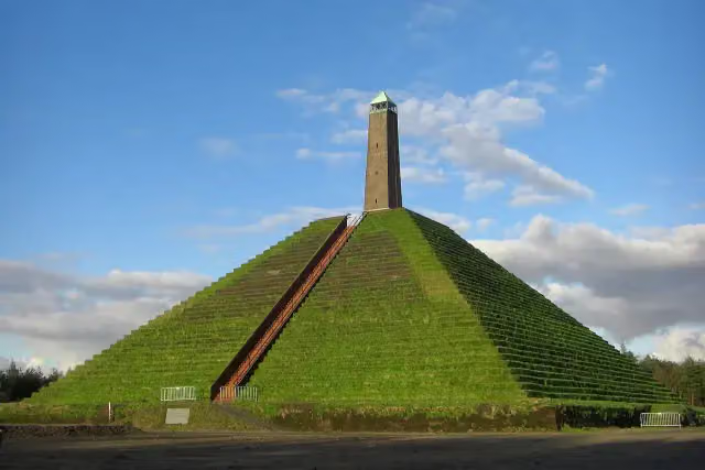 Pyramid of AusterlitzAttraction · 5.9 km from the route
- 2
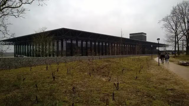 Nationaal Militair MuseumMuseum · 8.5 km from the route
- 3
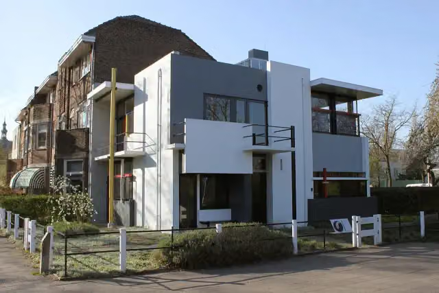 Rietveld-SchröderhuisMuseum · 9.5 km from the route
- 4
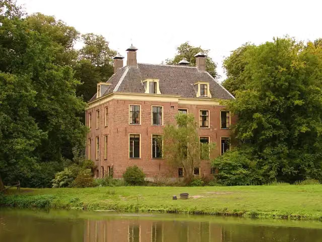 Kasteel RhijnauwenAttraction · 6.9 km from the route
- 5
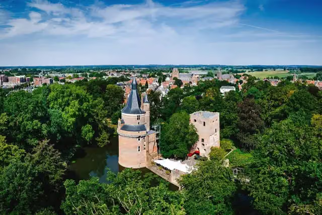 Duurstede CastleCastle · 7.8 km from the route
- 6
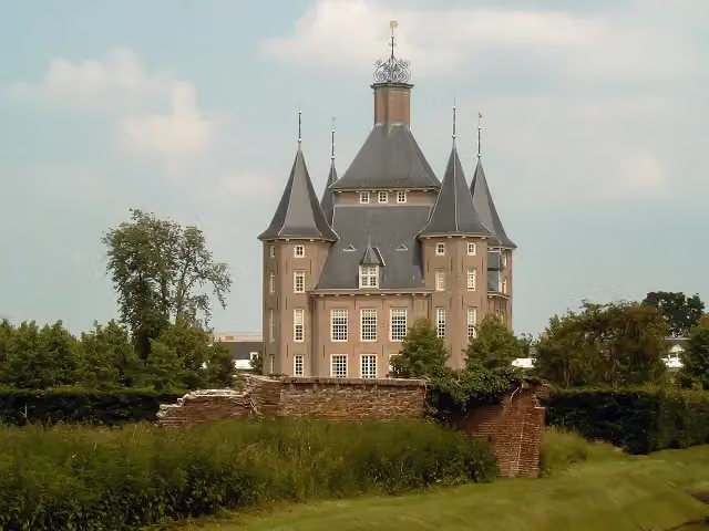 Kasteel HeemstedeCastle · 9.4 km from the route
- 7
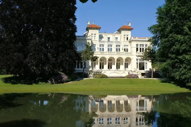 Ma RetraiteCastle · 5.4 km from the route
- 8
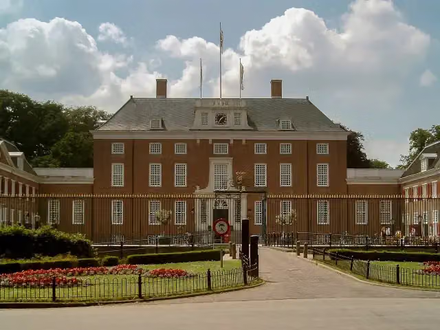 Slot ZeistCastle · 3.9 km from the route
- 9
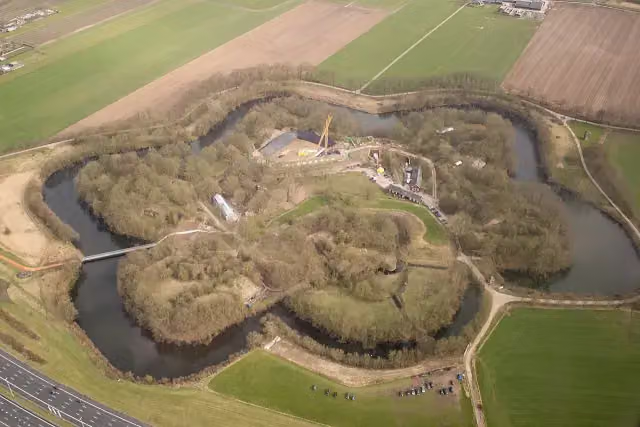 Fort VechtenFort · 7 km from the route
- 10
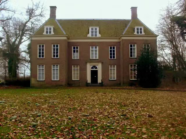 Landhuis Oud AmelisweerdMuseum · 7.3 km from the route
- 11
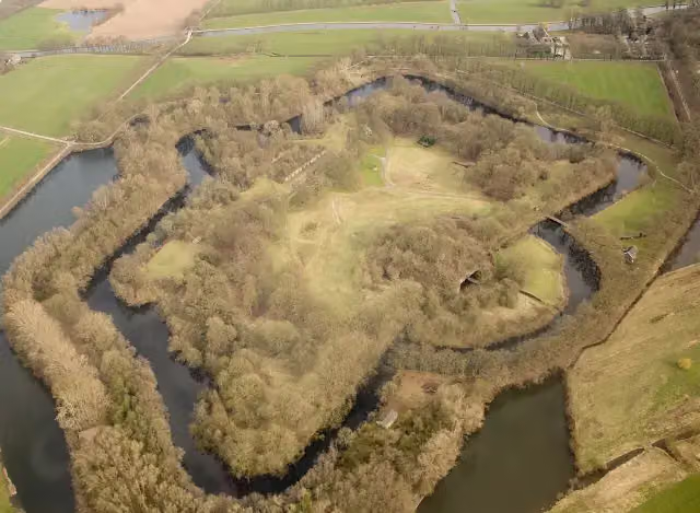 Fort bij RijnauwenFort · 7.2 km from the route
- 12
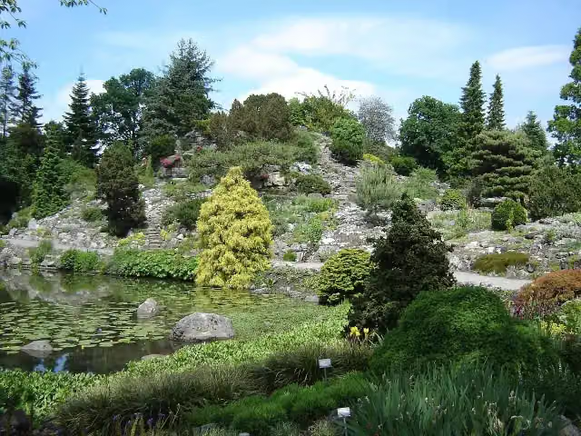 Botanische Tuinen Universiteit UtrechtAttraction · 8.1 km from the route
- 13
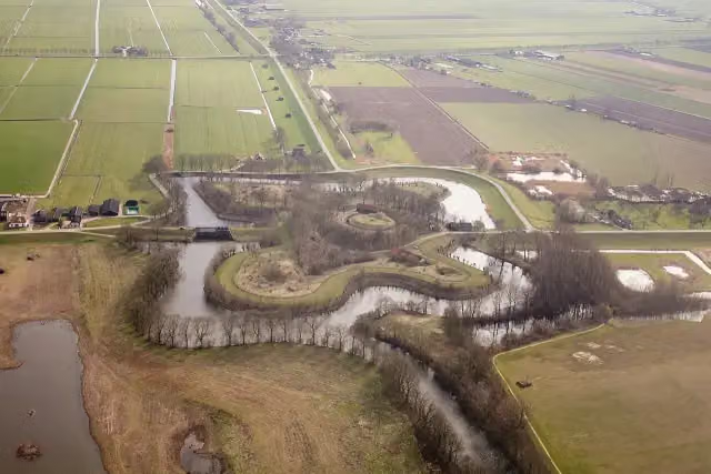 Fort EverdingenAttraction · 9.1 km from the route
- 14
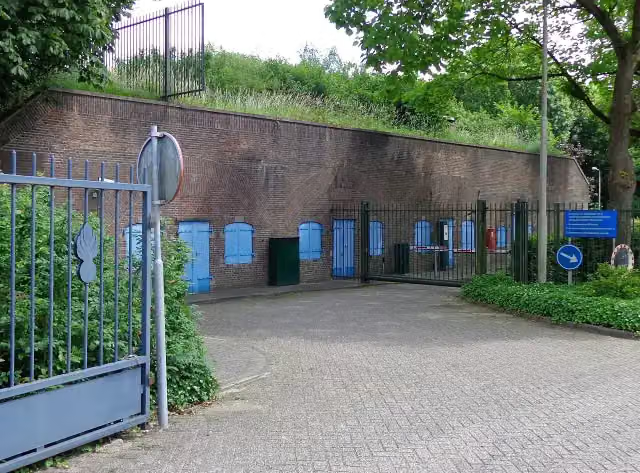 Fort de BiltFort · 10 km from the route
- 15
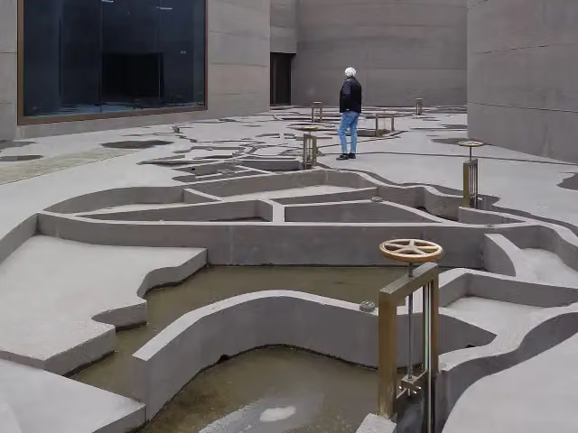 WaterliniemuseumMuseum · 7 km from the route
- 16
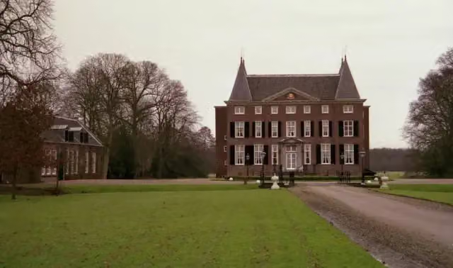 HardenbroekCastle · 1.7 km from the route
- 17
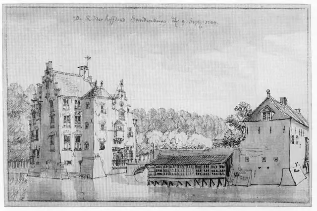 Kasteel SandenburgCastle · 4.5 km from the route
- 18
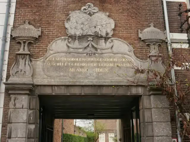 ElisabethweeshuisMuseum · 7.8 km from the route
- 19
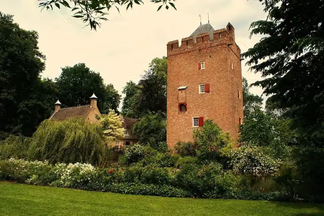 Kasteel LunenburgCastle · 3 km from the route
- 20
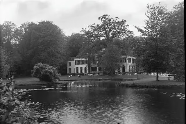 Huize Den TreekCastle · 9.5 km from the route
- 21
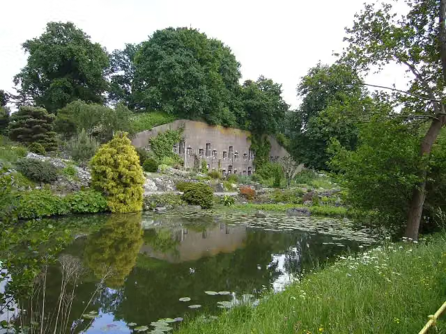 Werk aan de HoofddijkFort · 8.1 km from the route
- 22
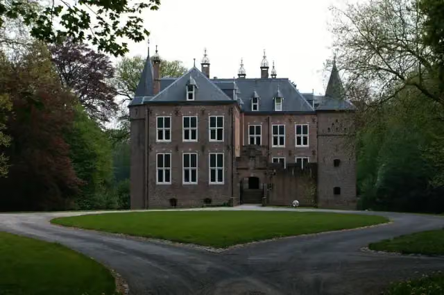 Kasteel MoersbergenCastle · 2.2 km from the route
- 23
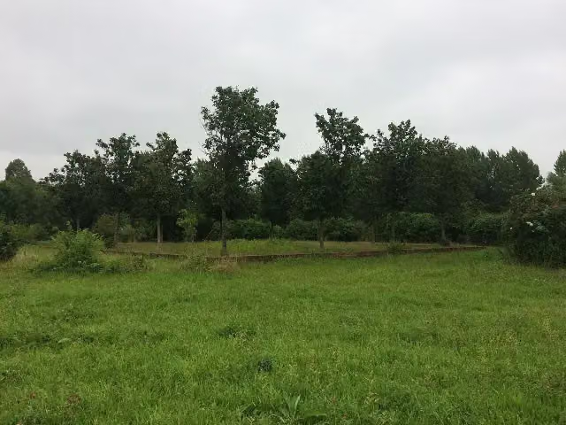 CaetshageArchaeological site · 8.4 km from the route
- 24
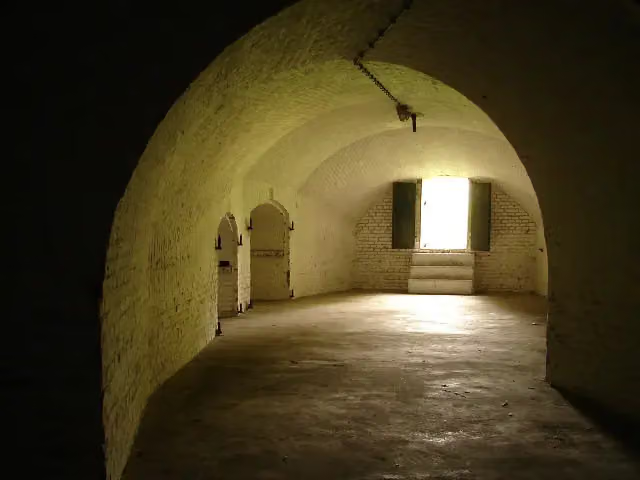 Fort bij 't HemeltjeFort · 8.1 km from the route
- 25
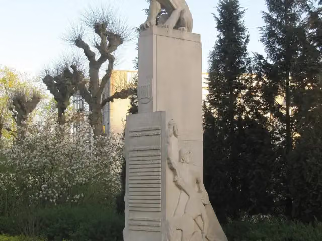 Herdenkingsmonument van BilthovenMemorial · 9.1 km from the route
Explore more
More walks around Utrechtse Heuvelrug
Frequently asked questions
How long is the Aderwinkelpad klompenpad walk?
The Aderwinkelpad is 9.2 km long. It is a local walking route.
Is the Aderwinkelpad a circular route?
Yes, the Aderwinkelpad is a circular route. You start and finish at the same place.
What surfaces does the Aderwinkelpad have?
Most of the Aderwinkelpad is asphalt (51%). In addition, 23% is natural surface, 13% is paved and 11% is unpaved.
How many benches and water taps are there along the Aderwinkelpad?
There are 13 benches and 1 water tap along the Aderwinkelpad. This way you can take a restful break along the way and refill your bottle.
What points of interest can you see on the Aderwinkelpad?
Along the route you will find the Schaepmanmonument, the Verzetsmonument 1940-1945 and kasteel Broekbergen.
What types of roads does the Aderwinkelpad follow?
42% of the Aderwinkelpad follows roads and 27% follows field or forest tracks. The rest consists of paths (12%), footpaths (7%) and streets (7%).
Starting point
More routes from this place
Route data © OpenStreetMap contributors





