 Outdoor Pitstop
Walking route · Bonn · Updated on 14 November 2026
Wanderweg der Deutschen Einheit (Bad Godesberg - Aachen) walk
Wanderweg der Deutschen Einheit (Bad Godesberg - Aachen) is a walk of 146.4 km from Bonn. Along the way you'll find 554 benches, 3 water fountains and refill points, 18 public toilets, 2 bike pumps and 1 honesty box.
i
i
i
The route step by step
From start to finish, with what you pass along the way and the distance in between.
- 146.4 km
- ± 35:40 h
- ↑ 1,906 m · ↓ 1,778 m
- Hard
- From A to B
- National route
Start in Bonn
0 km4.4 km · 75 benches
2 public toilets and water point
4.4 km384 m · 13 benches

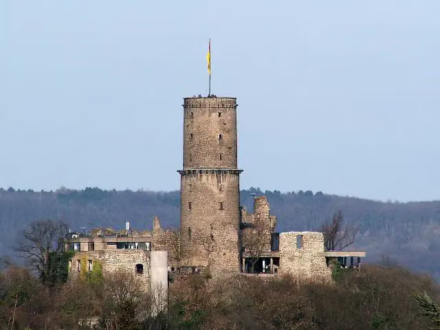
Godesburg
4.8 kmAttraction
17.3 km · 29 benches
Burg Lüftelberg
22.1 kmCastle
5.3 km · 12 benches
Ruins · Audio story · 2 min
2.1 km · 9 benches
Glasmuseum
29.4 kmWater point
187 m · 3 benches
Rheinbacher Burg
29.6 kmCastle
16.6 km · 47 benches
Bergfried and 1 more
46.2 kmHardtburg and public toilet
12.1 km · 36 benches
Public toilet
58.3 km2.3 km · bench
Katzensteine
60.5 kmAttraction
1.6 km
Burgfey
62.2 kmCastle
3.8 km · 7 benches
Public toilet
66 km580 m · 2 benches
2 public toilets
66.6 km18.7 km · 15 benches
Public toilet
85.3 km2.8 km · 22 benches
Burg Hengebach
88.1 km3 public toilets and bike pump
3 km · 34 benches
Kraftwerk Heimbach
91.1 kmAttraction
1.3 km · 6 benches
3 public toilets
92.3 km933 m · 23 benches
Public toilet
93.3 km13.4 km · 58 benches
Marienkapelle
106.7 kmAttraction
22.8 km · 32 benches
Honesty box
129.5 km2.7 km · 9 benches
kunsthaus nrw
132.3 kmPublic toilet
410 m · 16 benches
Bike pump
132.7 km13.4 km · 75 benches
Archäologisches Fenster and 1 more
146.1 kmDomschatzkammer
251 m · 30 benches
Finish
146.4 kmAt the finish: Centre Charlemagne, Aachen Town Hall, 2 public toilets and water point.
Longest stretch without a toilet: 41.9 kmBetween 4.4 km and 46.3 km there is no public toilet within 100 m of the route.
The route with the pitstops and sights within 100 m of it.
17 sights along the way
In the order you pass them. With the Outdoor Pitstop app you hear their story on the spot. 9 more along the route are on the map.
i
Photo: Dickbauch · Wikimedia Commons · CC BY-SA 3.0View the photo on Wikimedia CommonsAttraction · after 4.8 km
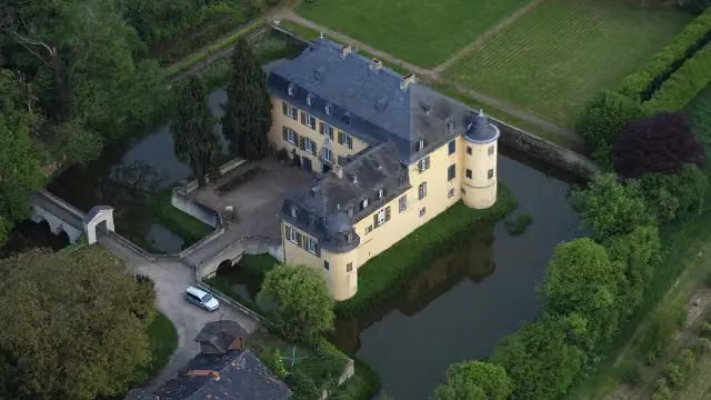
i
Photo: Wolkenkratzer · Wikimedia Commons · CC BY-SA 3.0View the photo on Wikimedia CommonsCastle · after 22.1 km
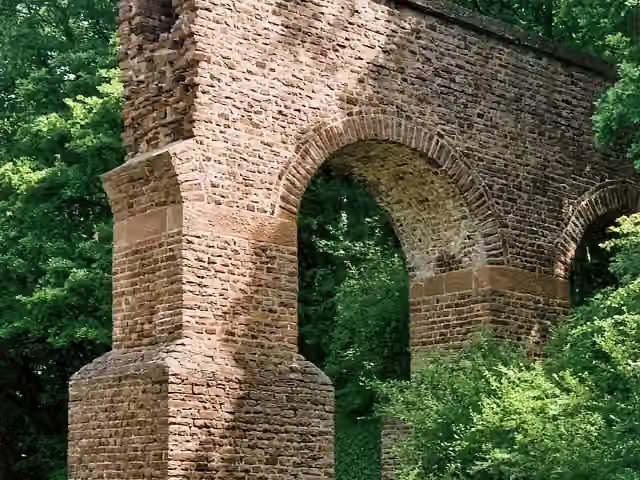 Audio story · 2 min
i
Photo: Mediatus · Wikimedia Commons · CC BY-SA 3.0View the photo on Wikimedia CommonsTeilstück Römische Wasserleitung
Ruins · after 27.3 km
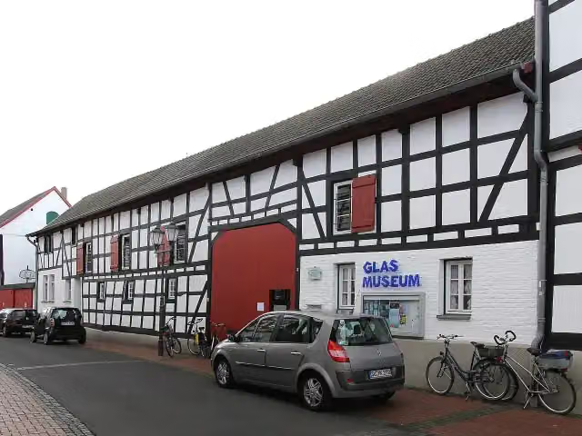
i
Photo: Elke Wetzig (User:Elya) · Wikimedia Commons · CC BY-SA 3.0View the photo on Wikimedia CommonsMuseum · after 29.5 km
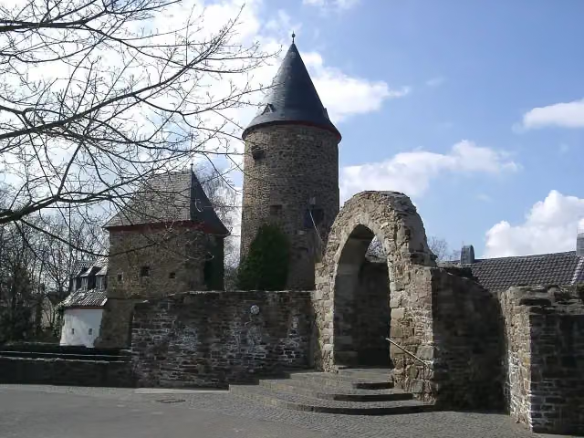
i
Photo: Klaus Graf · Wikimedia Commons · CC BY 2.0View the photo on Wikimedia CommonsCastle · after 29.6 km

Observation tower · after 46.2 km
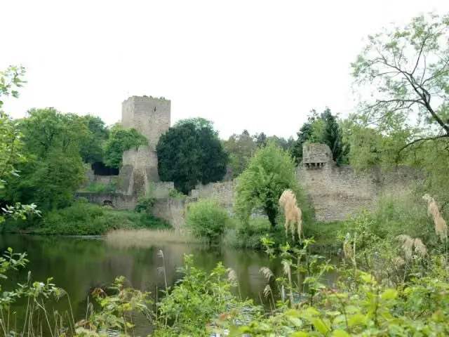
i
Photo: Wikoli at German Wikipedia · Wikimedia Commons · CC BY-SA 3.0View the photo on Wikimedia CommonsCastle · after 46.2 km
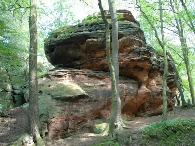
i
Photo: Wikoli · Wikimedia Commons · CC BY-SA 3.0View the photo on Wikimedia CommonsAttraction · after 60.5 km
Elevation and terrain
- Up
- ↑ 1,906 m
- Down
- ↓ 1,778 m
- Highest point
- 516 m
- Lowest point
- 52 m
- 5-10% slope · 15.4 km
- 10-15% slope · 3.7 km
- 11 stairs
Elevation from Copernicus GLO-30 (European Union and ESA), smoothed.
produced using Copernicus WorldDEM-30 © DLR e.V. 2010-2014 and © Airbus Defence and Space GmbH 2014-2018 provided under COPERNICUS by the European Union and ESA; all rights reserved
Way types
146.4 km in total- Track: 86.8 km
- Street: 23.1 km
- Path: 17.2 km
- Road: 10.7 km
- Footpath: 3.6 km
- Busy road: 3.4 km
- Cycleway: 525 m
- Stairs: 11 stairs
Surfaces
146.4 km in total- Asphalt: 57 km
- Gravel: 39.2 km
- Unpaved: 19 km
- Natural: 2.4 km
- Paved: 2.3 km
- Unknown: 25.9 km
About the walking route Wanderweg der Deutschen Einheit (Bad Godesberg - Aachen)
Updated on 14 November 2026, with data from OpenStreetMap, the AHN and Copernicus.
Where do you walk?
Wanderweg der Deutschen Einheit (Bad Godesberg - Aachen) is a walking route of 146.4 km that starts in Bonn. It does not end where it starts. Along the way you pass Godesburg (after 4.8 km), Burg Lüftelberg (after 22.1 km) and Teilstück Römische Wasserleitung (after 27.3 km).
How hard is the route?
You climb 1,906 m in total and descend 1,778 m. There are 11 flights of steps along the way. Allow ± 35:40 h, without breaks. The level is hard.
What paths do you walk on?
The longest part is track (86.8 km), street (23.1 km) and path (17.2 km). Of the surface, 57 km asphalt and 39.2 km gravel. For 25.9 km the surface is not known.
Pitstops along the way
Within 100 metres of the route there are 554 benches, 3 water fountains and refill points, 18 public toilets, 2 bike pumps and 1 honesty box. You can fill your bottle after 4.5 km, after 29.4 km and at the finish. The longest stretch without a toilet is 41.9 km. The Outdoor Pitstop app navigates you there.
Part of Wanderweg der deutschen Einheit
Walks nearby
6- Wanderweg der Deutschen Einheit (Waldbröl -- Bad Godesberg)Hard · From A to B57.6 km
- [K] Kölner Weg [17] Rottbitze - KönigswinterModerate · From A to B18.4 km
- [I] HWW Westerwald Etappe 1 (Königswinter - Kölsch-Büllesbach)Hard · From A to B21.5 km
- [<1] Wanderweg 1 des KEV [Königswinter]Moderate · From A to B11.4 km
- Wanderweg 1a des KEV Etappe 2Hard · From A to B21.2 km
- Rheinsteig Etappe 2 [Königswinter - Bad Honnef]Moderate · From A to B14.2 km
Sights nearby
Within 10 km of the route, best known first.
- 1
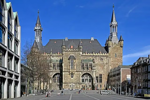
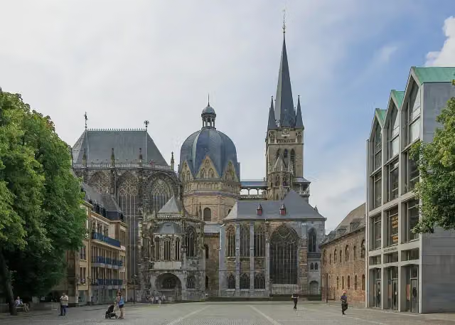 Aachen CathedralAttraction · 164 m from the route
- 2
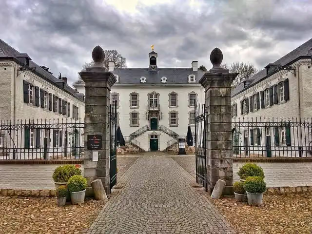 Kasteel VaalsbroekCastle · 5.3 km from the route
- 3
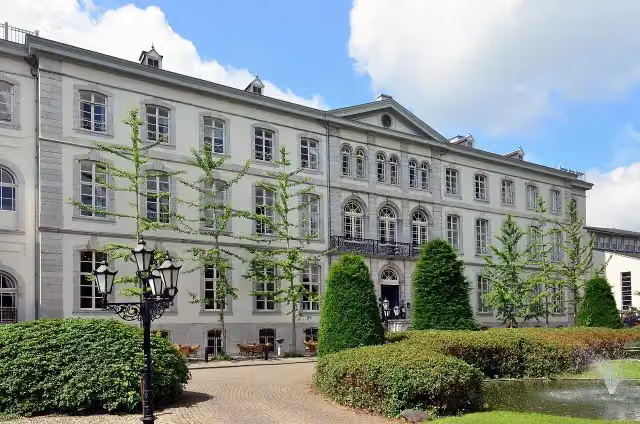 Huis BloemendalCastle · 4.1 km from the route
- 4
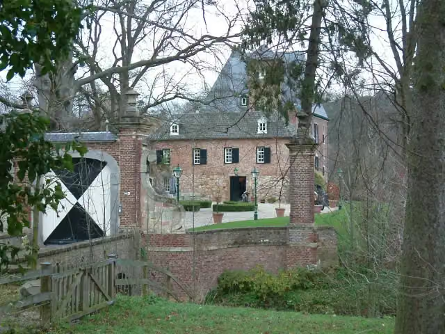 Kasteel LemiersCastle · 5.9 km from the route
- 5
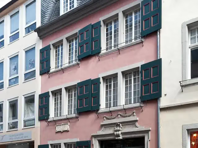 Beethoven HouseMuseum · 5.6 km from the route
- 6
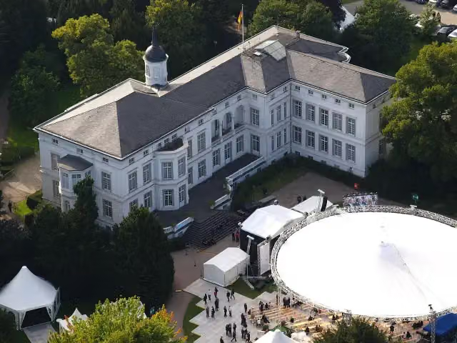 Palais SchaumburgAttraction · 3.5 km from the route
- 7
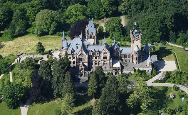 Schloß DrachenburgAttraction · 1.3 km from the route
- 8
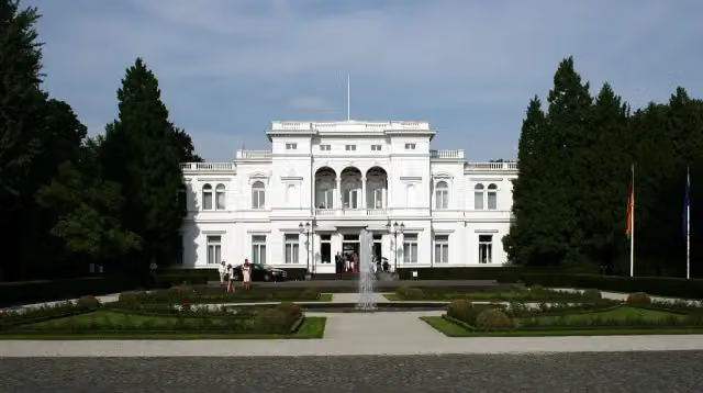 Villa HammerschmidtAttraction · 3.8 km from the route
- 9
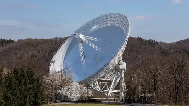 Radioteleskop EffelsbergAttraction · 7.2 km from the route
- 10
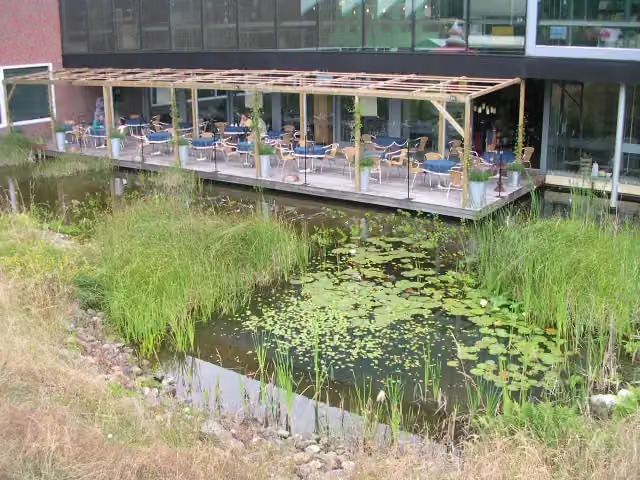 Discovery MuseumMuseum · 9.6 km from the route
- 11
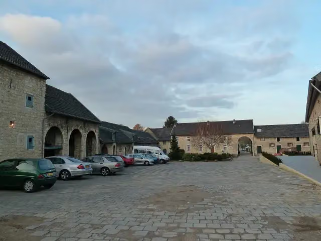 Hoeve OverhuizenCastle · 6.6 km from the route
- 12
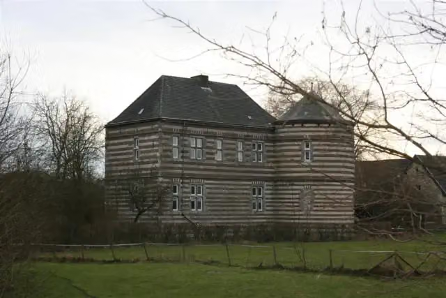 Kasteel De BongardCastle · 7.6 km from the route
- 13
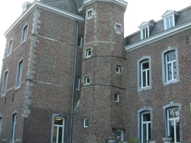 Kasteel NijswillerCastle · 9 km from the route
- 14
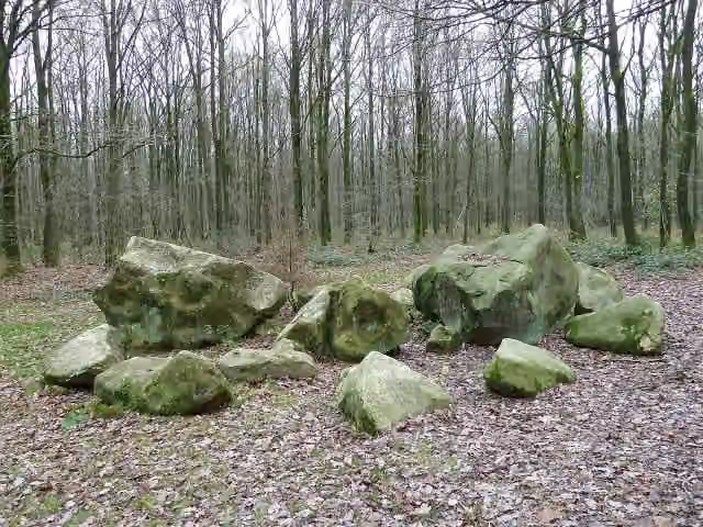 Geologisch monument ZandsteenblokkenMemorial · 7.9 km from the route
- 15
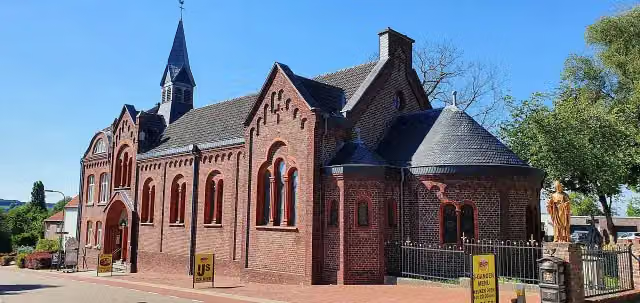 Museum VaalsMuseum · 4.7 km from the route
- 16
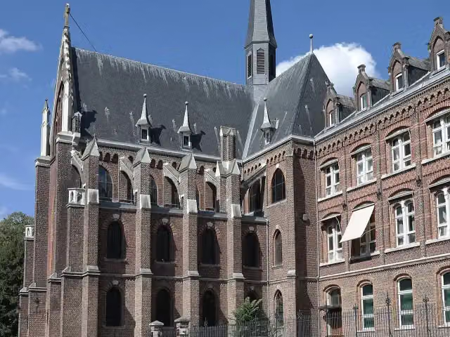 De Schat van SimpelveldMuseum · 9.2 km from the route
- 17
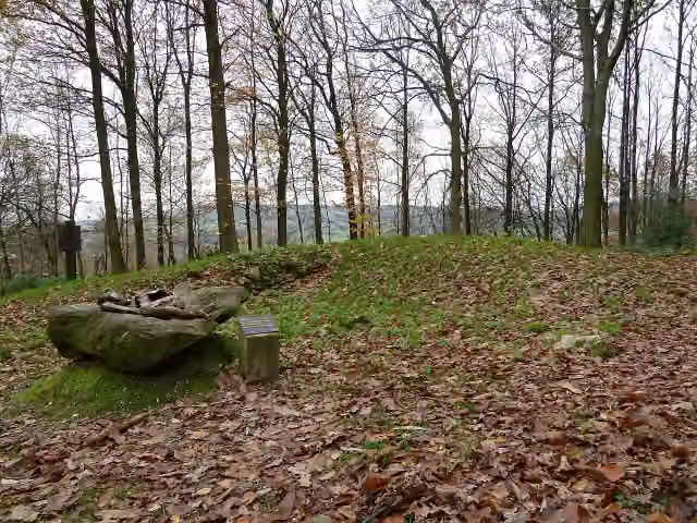 Tumuli VijlenerbosArchaeological site · 6.3 km from the route
- 18
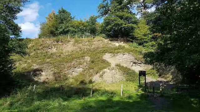 HeimansgroeveViewpoint · 9.7 km from the route
- 19
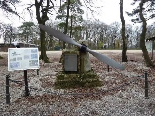 VliegermonumentMemorial · 3.6 km from the route
- 20
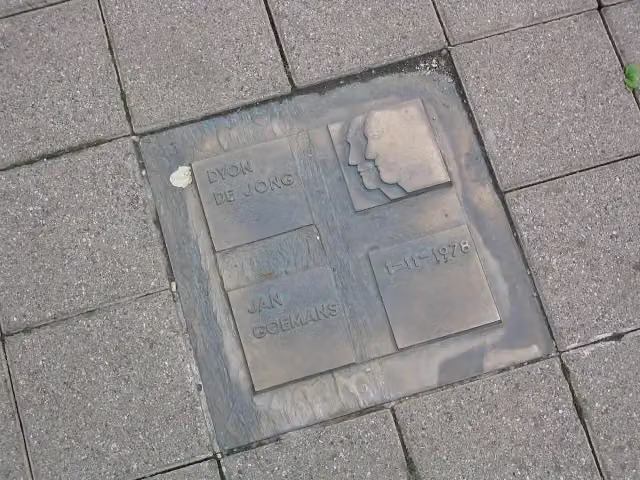 Dyon de Jong / Jan GoemansMemorial · 8.7 km from the route
- 21
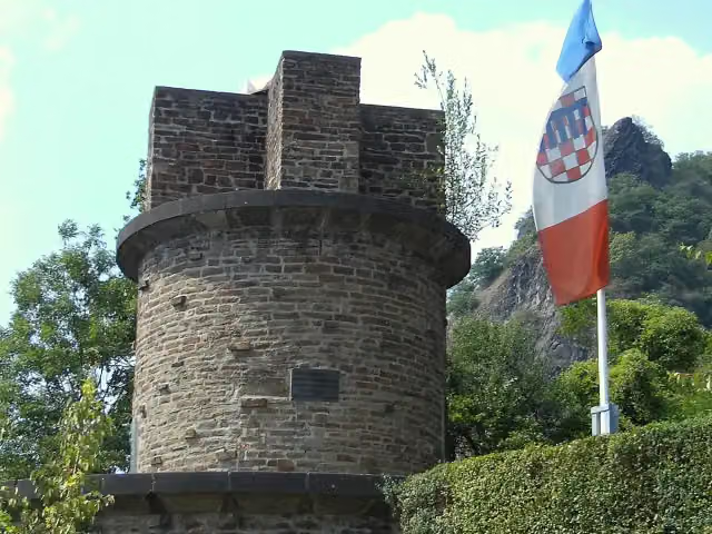 UlanendenkmalMemorial · 2 km from the route
- 22
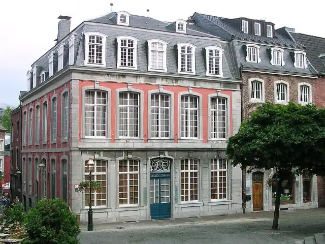 Couven-MuseumMuseum · 130 m from the route
- 23
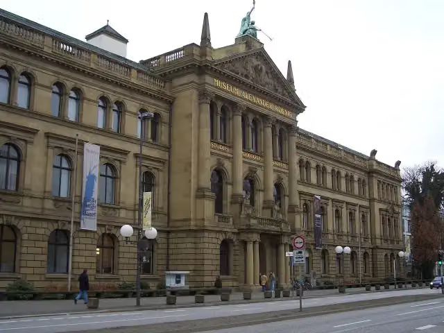 Museum Alexander KoenigMuseum · 3.8 km from the route
- 24
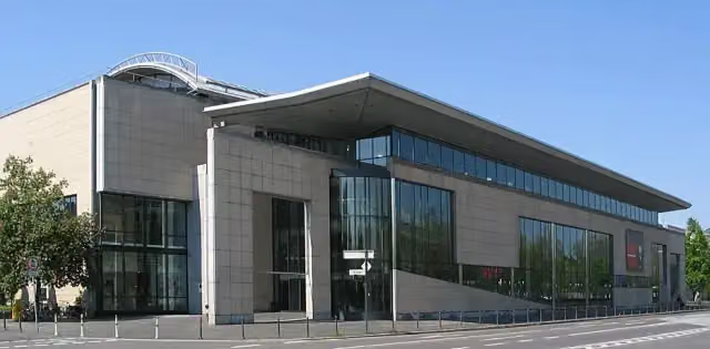 Haus der Geschichte der Bundesrepublik DeutschlandMuseum · 3.2 km from the route
- 25
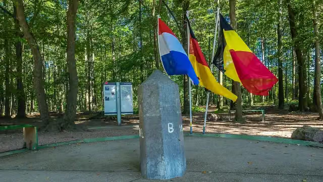 Border tripointAttraction · 3.5 km from the route
Explore more
Frequently asked questions
How long is Wanderweg der Deutschen Einheit (Bad Godesberg - Aachen)?
Wanderweg der Deutschen Einheit (Bad Godesberg - Aachen) is 146.4 km long. Allow ± 35:40 h of walking: 4.5 km an hour and 10 minutes more per 100 metres of climbing, without breaks.
Is this route a circular walk?
No, the route starts and ends at different spots.
Where does this route start?
The route starts in Bonn.
How hard is this route?
Hard, with 1,906 m of climbing.
Are there toilets along this route?
Yes, there are 18 public toilets within 100 m of the route. The longest stretch without a toilet is 41.9 km.
Can you fill up with water along this route?
Yes, there are 3 water fountains and refill points within 100 m of the route.
What is there to see along this route?
Along the way you pass Godesburg, Burg Lüftelberg and Teilstück Römische Wasserleitung.
Can I download this route as a GPX file?
Yes. Sign in with your Outdoor Pitstop account and choose Download GPX at the top of this page: 10 routes a month for free, unlimited with Pro.
Starting point
More routes from this place
Route data © OpenStreetMap contributors





