 Outdoor Pitstop
Cycle route · Oranienburg · Updated on 14 November 2026
Fontane.Rad Hauptroute cycle route
Fontane.Rad Hauptroute is a cycle route of 283.5 km from Oranienburg. Along the way you'll find 276 benches, 9 water fountains and refill points, 19 public toilets, 5 bike pumps and 2 honesty boxes and farm vending machines.
i
i
i
The route step by step
From start to finish, with what you pass along the way and the distance in between.
- 283.5 km
- ± 2:20 h per stage
- ↑ 569 m · ↓ 566 m
- Moderate per stage
- From A to B
- Regional route
- Colour of the signs
Start in Oranienburg
0 kmAt the start: public toilet and water point.
381 m
2 public toilets
381 m645 m · 16 benches

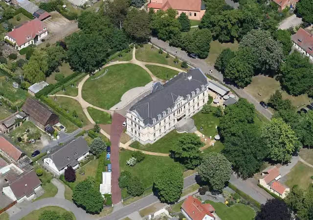
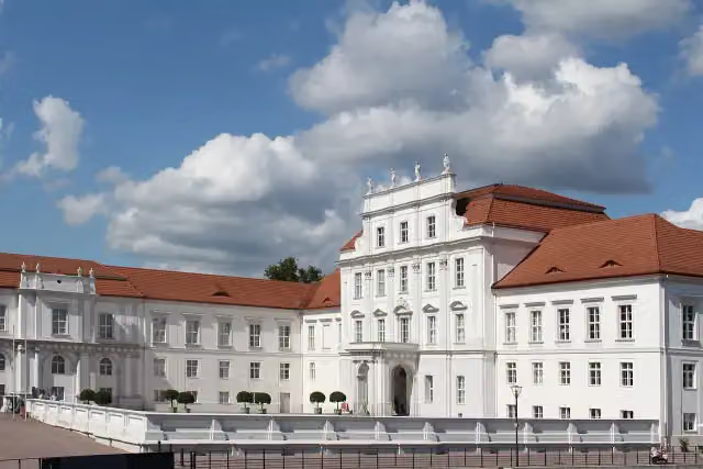
Schloss Oranienburg
1 kmPublic toilet and water point
626 m · 6 benches
Public toilet
1.7 km452 m · 2 benches
Public toilet
2.1 km7.4 km · 15 benches
Public toilet and 4 water fountains and refill points
9.5 km29.7 km · 12 benches
Water point
39.2 km5.1 km · 6 benches
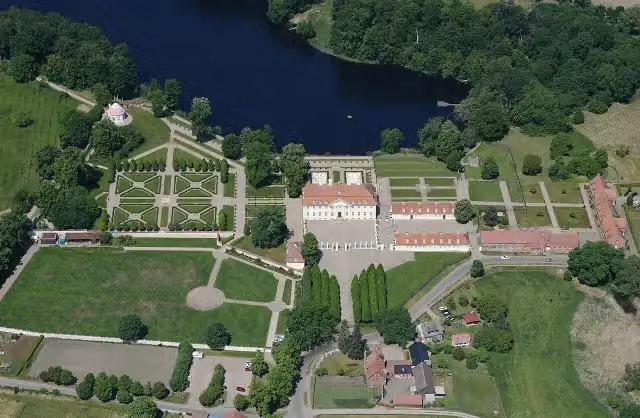
Schloss Meseberg
44.3 kmCastle
6.1 km · 2 benches
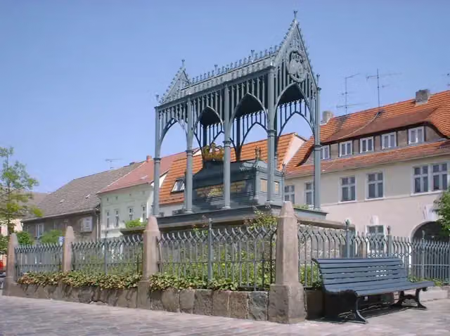
Luisendenkmal
50.4 kmPublic toilet
171 m
Public toilet
50.6 km17.8 km · 5 benches
Gut Zernikow
68.4 kmAttraction
13.8 km · 9 benches
NaturParkHaus Stechlin
82.2 kmMuseum
11.9 km · 12 benches
Public toilet
94.1 km25.9 km · 5 benches
Friedrich Wilhelm II. and 2 more
120 kmOpfer des Faschismus, Karl Marx and water point
510 m · 15 benches
Theodor Fontane
120.5 kmMemorial
37.7 km · 14 benches
Water point
158.2 km7.1 km · 2 benches
Fintelmannhaus
165.3 kmAttraction
12.3 km · 3 benches
Public toilet
177.6 km579 m
Bike pump
178.2 km4.3 km · bench
Bike pump
182.5 km7.8 km · 8 benches
Public toilet
190.4 km22.4 km · 24 benches
Schloss Ribbeck
212.8 kmMuseum
3 km · 16 benches
Bike pump
215.8 km19.5 km · 5 benches
Public toilet
235.3 km3 km · 2 benches
Honesty box
238.4 km15 km · 16 benches
Public toilet
253.4 km11.3 km · bench
Honesty box
264.7 km575 m
2 public toilets
265.2 km6.3 km · 18 benches
Public toilet
271.5 km4.9 km · 21 benches
Schloss Caputh
276.4 kmPublic toilet and bike pump
Show the other 3 steps
5.5 km · 12 benches
Public toilet
281.9 km1.1 km · bench
Kaiser-Friedrich-Blick
283 kmViewpoint
439 m · 18 benches
Finish
283.5 kmAt the finish: bike pump.
Longest stretch without a toilet: 83.5 kmBetween 94.1 km and 177.6 km there is no public toilet within 100 m of the route.
The route with the water points, toilets and sights within 100 m of it.
13 sights along the way
In the order you pass them. With the Outdoor Pitstop app you hear their story on the spot. 5 more along the route are on the map.
i
Photo: Kds11 · Wikimedia Commons · CC BY-SA 3.0View the photo on Wikimedia CommonsCastle · after 1.1 km
i
Photo: Carsten Steger · Wikimedia Commons · CC BY-SA 4.0View the photo on Wikimedia CommonsCastle · after 44.3 km
i
Photo: Doris Antony, Berlin · Wikimedia Commons · CC BY-SA 3.0View the photo on Wikimedia CommonsAttraction · after 50.4 km

Attraction · after 68.4 km
Museum · after 82.2 km
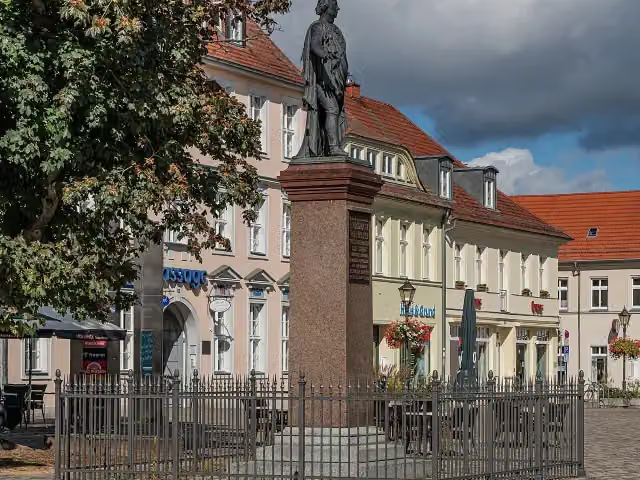
i
Photo: A.Savin · Wikimedia Commons · FALView the photo on Wikimedia CommonsMemorial · after 120 km
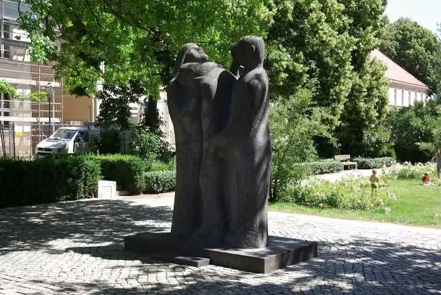
i
Photo: Clemensfranz · Wikimedia Commons · CC BY-SA 4.0View the photo on Wikimedia CommonsMemorial · after 120 km
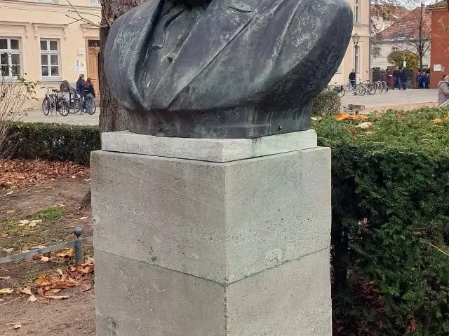
i
Photo: OTFW, Berlin · Wikimedia Commons · CC BY-SA 3.0View the photo on Wikimedia CommonsMemorial · after 120 km
Stages (8)
Elevation and terrain
- Up
- ↑ 569 m
- Down
- ↓ 566 m
- Highest point
- 107 m
- Lowest point
- 27 m
Nowhere steeper than 5%.
Elevation from Copernicus GLO-30 (European Union and ESA), smoothed.
produced using Copernicus WorldDEM-30 © DLR e.V. 2010-2014 and © Airbus Defence and Space GmbH 2014-2018 provided under COPERNICUS by the European Union and ESA; all rights reserved
Way types
283.5 km in total- Path: 105.6 km
- Road: 61.8 km
- Track: 45.3 km
- Street: 38.5 km
- Busy road: 17.7 km
- Cycle path: 10 km
- Footpath (walk your bike): 3.9 km
- Unknown: 225 m
Surfaces
283.5 km in total- Asphalt: 239.3 km
- Paved: 26.3 km
- Gravel: 5.2 km
- Natural: 2.1 km
- Unpaved: 1.7 km
- Unknown: 8.5 km
About the cycle route Fontane.Rad Hauptroute
Updated on 14 November 2026, with data from OpenStreetMap, the AHN and Copernicus.
Where do you cycle?
Fontane.Rad Hauptroute is a cycle route of 283.5 km that starts in Oranienburg. It does not end where it starts. You start in Oranienburg and finish in Potsdam. Along the way you pass Schloss Oranienburg (after 1.1 km), Schloss Meseberg (after 44.3 km) and Luisendenkmal (after 50.4 km).
How hard is the route?
You climb 569 m in total and descend 566 m. Allow ± 2:20 h per stage, without breaks. Per stage the level is moderate.
What roads do you cycle on?
The longest part is path (105.6 km), road (61.8 km) and track (45.3 km). Of the surface, 239.3 km asphalt and 26.3 km paved. For 8.5 km the surface is not known.
Pitstops along the way
Within 100 metres of the route there are 276 benches, 9 water fountains and refill points, 19 public toilets, 5 bike pumps and 2 honesty boxes and farm vending machines. You can fill your bottle at the start, after 1 km, after 9.5 km, after 39.2 km, after 120 km and after 158.2 km. The longest stretch without a toilet is 83.5 km. The Outdoor Pitstop app navigates you there.
Part of Fontane.Rad
Cycle routes nearby
6- Rund um Berlin Teil 1 [Altlandsberg↔Oranienburg]Hard · From A to B70 km
- Historische Stadtkerne Route 2Hard · Circular ride325.5 km
- Rund um Berlin Teil 2 [Oranienburg↔Ketzin]Hard · From A to B83.7 km
- Havel-RadwegHard · From A to B396.1 km
- Ruppiner Seen-Kultur-RadwegHard · Circular ride217.3 km
- [D11] Ostsee-Oberbayern 03 [Brandenburg Mitte]Hard · From A to B64.9 km
Sights nearby
Within 10 km of the route, best known first.
- 1
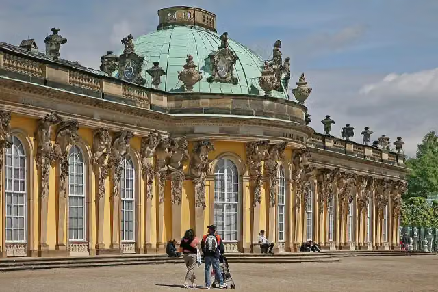 Sanssouci PalaceAttraction · 2.2 km from the route
- 2
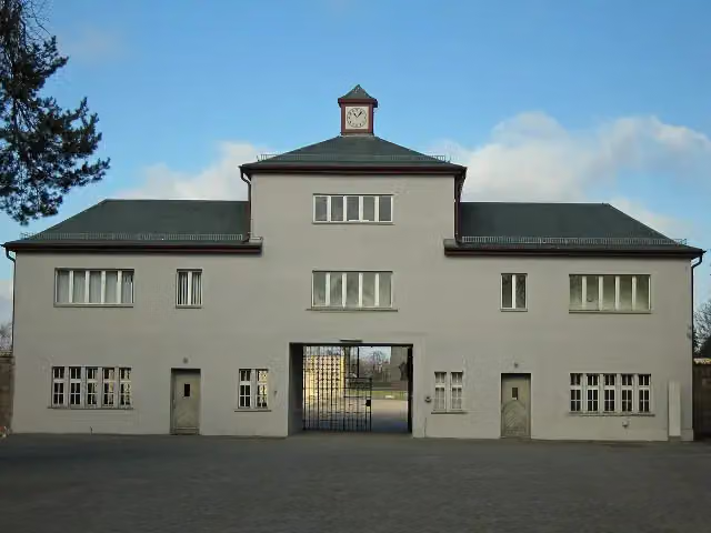 Memorial SachsenhausenMuseum · 694 m from the route
- 3
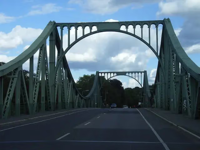 Glienicker BrückeAttraction · 3.1 km from the route
- 4
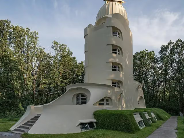 Einstein TowerAttraction · 812 m from the route
- 5
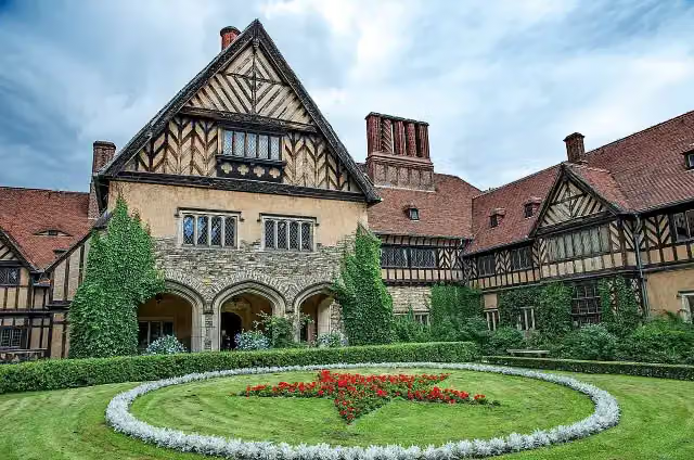 Schloss CecilienhofAttraction · 3.2 km from the route
- 6
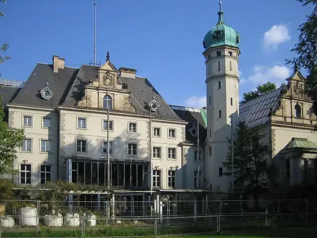 Jagdschloss GlienickeCastle · 3.2 km from the route
- 7
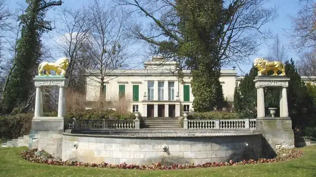 Schloss GlienickeAttraction · 3.4 km from the route
- 8
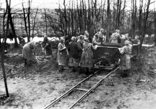 Mahn- und Gedenkstätte RavensbrückAttraction · 7.1 km from the route
- 9
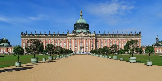 New PalaceAttraction · 2.8 km from the route
- 10
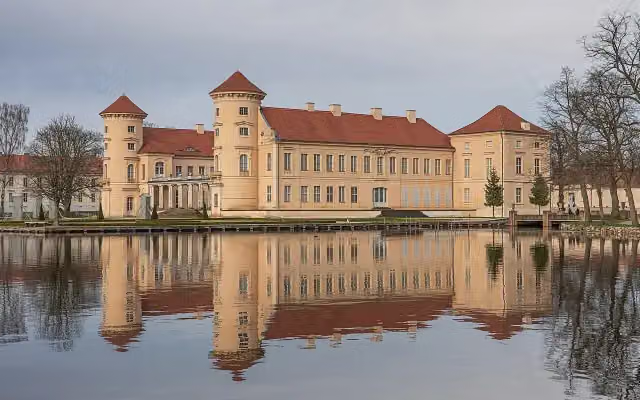 Schloss RheinsbergCastle · 126 m from the route
- 11
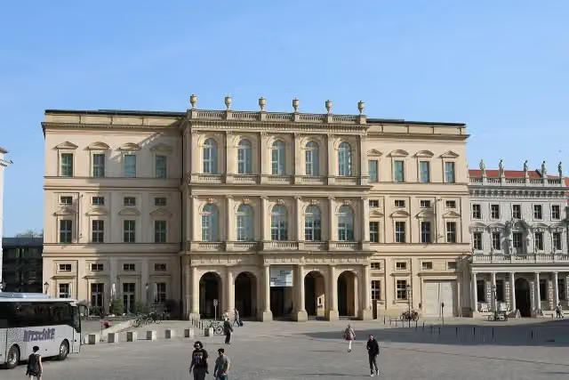 Museum BarberiniMuseum · 538 m from the route
- 12
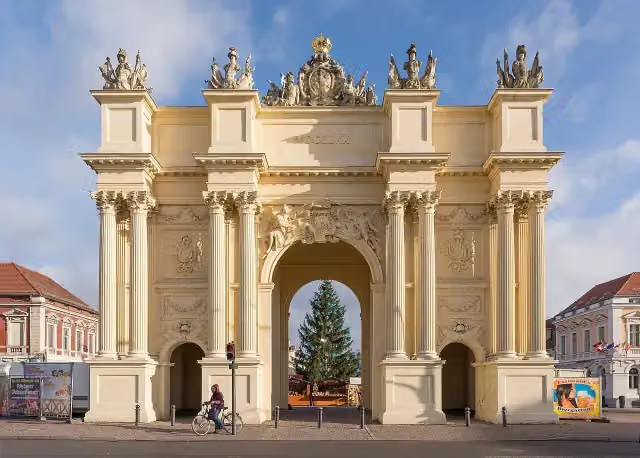 Brandenburger TorAttraction · 1.4 km from the route
- 13
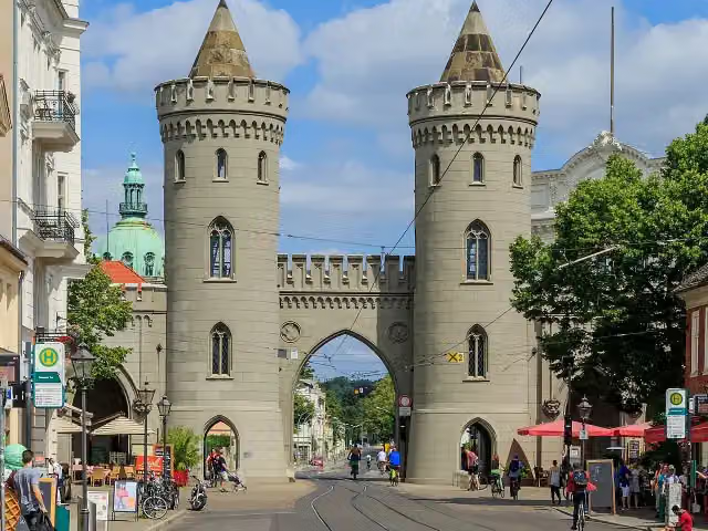 Nauener TorAttraction · 1.5 km from the route
- 14
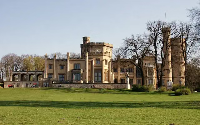 Schloss BabelsbergAttraction · 2.8 km from the route
- 15
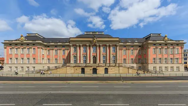 City PalaceCastle · 531 m from the route
- 16
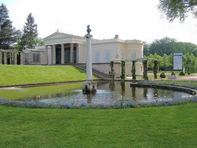 Schloss CharlottenhofCastle · 1.9 km from the route
- 17
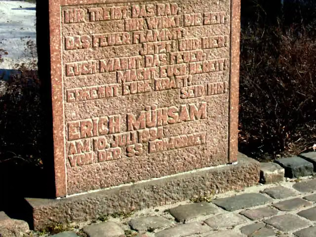 KZ OranienburgMemorial · 412 m from the route
- 18
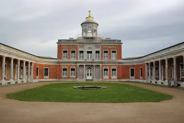 Marmor PalaceAttraction · 2.5 km from the route
- 19
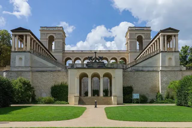 Belvedere auf dem PfingstbergAttraction · 3.2 km from the route
- 20
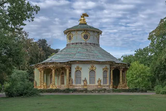 Chinese HouseAttraction · 2.1 km from the route
- 21
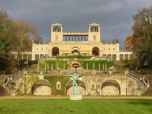 OrangerieschlossAttraction · 2.7 km from the route
- 22
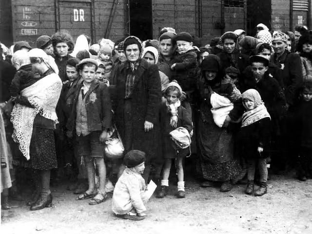 Jugendkonzentrationslager UckermarkArchaeological site · 7.3 km from the route
- 23
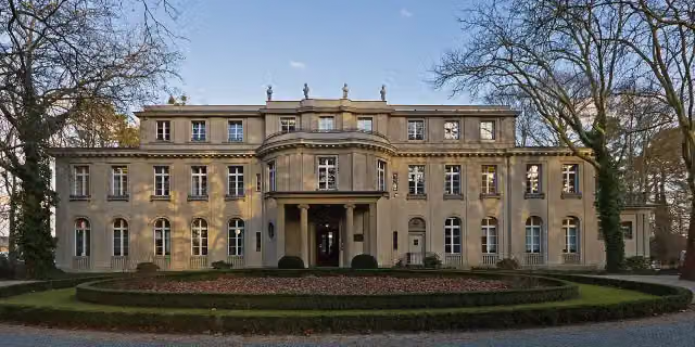 House of the Wannsee ConferenceMuseum · 8.4 km from the route
- 24
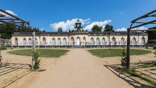 Picture GalleryMuseum · 2.1 km from the route
- 25
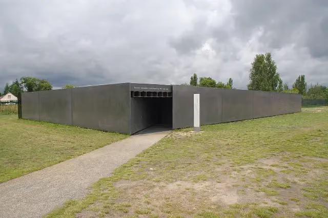 Museum "Sowjetisches Speziallager"Museum · 1 km from the route
Explore more
More cycle routes around Oranienburg
Frequently asked questions
How long is Fontane.Rad Hauptroute?
Fontane.Rad Hauptroute is 283.5 km long, in 8 stages of 35.4 km on average. Allow ± 2:20 h per stage of riding: 15 km an hour, without breaks.
How many stages does this route have?
The route is split into 8 stages of 35.4 km on average, 283.5 km in all. The shortest stage is 18.2 km, the longest 50.6 km.
Is this route a circular ride?
No, the route runs from Oranienburg to Potsdam.
Where does this route start?
The route starts in Oranienburg.
How hard is this route?
Moderate per stage, with 71 m per stage of climbing.
Are there toilets along this route?
Yes, there are 19 public toilets within 100 m of the route. The longest stretch without a toilet is 83.5 km.
Can you fill up with water along this route?
Yes, there are 9 water fountains and refill points within 100 m of the route.
What is there to see along this route?
Along the way you pass Schloss Oranienburg, Schloss Meseberg and Luisendenkmal.
Which stage of this route has the most points of interest?
Stage 4 (33.2 km), with 4 points of interest along the route, such as Friedrich Wilhelm II., Opfer des Faschismus and Karl Marx.
Can I download this route as a GPX file?
Yes. Sign in with your Outdoor Pitstop account and choose Download GPX at the top of this page: 10 routes a month for free, unlimited with Pro.
Starting point
More routes from this place
Route data © OpenStreetMap contributors





