 Outdoor Pitstop
Cycle route · Sluis · Updated on 5 November 2026
EuroVelo 4 - Central Europe Route cycle route
EuroVelo 4 - Central Europe Route is a cycle route of 328.5 km from Sluis. Along the way: 429 benches and picnic tables, 11 water fountains and refill points, 19 public toilets, 1 bike pump and 3 honesty boxes and farm vending machines.
i
i
The route step by step
From start to finish, with what you pass along the way and the distance in between.
- 328.5 km
- ± 21:55 h
- ↑ 233 m · ↓ 197 m
- Hard
- From A to B
- International route
- Colour of the signs
Pick a stage to see the pitstops per kilometre. Along the way: 429 benches and picnic tables, 11 water fountains and refill points, 19 public toilets, 1 bike pump and 3 honesty boxes and farm vending machines.
Follow these steps in the appThe route with the water points, toilets and sights within 100 m of it.
4 sights along the way
In the order you pass them. With the Outdoor Pitstop app you hear their story on the spot.
- Story
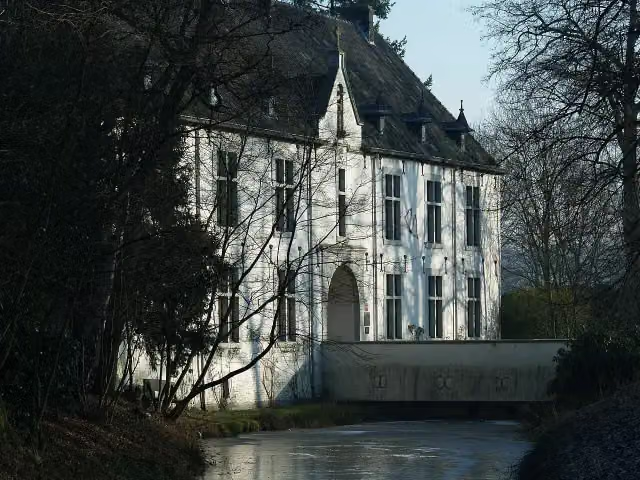
De Berckt
Castle
- Audio story · 2 min
i
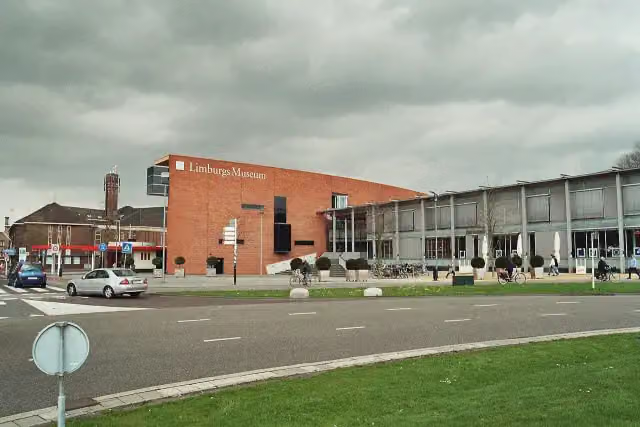
Photo: Markus Schweiss · Wikimedia Commons · CC BY-SA 3.0View the photo on Wikimedia CommonsLimburgs Museum
Museum
- Audio story · 2 min
i
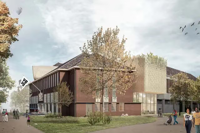
Photo: CommunicatieMVBVD · Wikimedia Commons · CC BY-SA 4.0View the photo on Wikimedia Commons 
Museum
Stages (1)
Elevation and terrain
- Up
- ↑ 233 m
- Down
- ↓ 197 m
- Highest point
- 44 m
- Lowest point
- -1 m
- 1 flight of stairs
Elevation from AHN (Rijkswaterstaat), smoothed.
Way types
328.5 km in total- Road: 163.2 km
- Cycle path: 105.5 km
- Street: 34.4 km
- Track: 6.9 km
- Path: 3.7 km
- Busy road: 360 m
- Footpath (walk your bike): 261 m
- Steps (carry your bike): 1 flight of stairs
- Unknown: 12.6 km
Surfaces
328.5 km in total- Asphalt: 160.2 km
- Paved: 32.2 km
- Gravel: 9.2 km
- Unpaved: 2 km
- Natural: 450 m
- Unknown: 122.7 km
About the cycle route EuroVelo 4 - Central Europe Route
Updated on 5 November 2026, with data from OpenStreetMap and the AHN.
Where do you cycle?
EuroVelo 4 - Central Europe Route is a cycle route of 328.5 km that starts in Sluis. It does not end where it starts.
How hard is the route?
You climb 233 m in total and descend 197 m. There is 1 flight of steps along the way. Allow ± 21:55 h, without breaks. The level is hard.
What roads do you cycle on?
The longest part is road (163.2 km), cycle path (105.5 km) and street (34.4 km). Of the surface, 160.2 km asphalt and 32.2 km paved. For 122.7 km the surface is not known.
Pitstops along the way
Within 100 metres of the route there are 429 benches and picnic tables, 11 water fountains and refill points, 19 public toilets, 1 bike pump and 3 honesty boxes and farm vending machines. The Outdoor Pitstop app navigates you there.
This is the Dutch part of EuroVelo 4, the Central Europe Route: a long-distance cycle route of about 330 km through Zeeland, North Brabant and Limburg to Venlo. The full route runs for more than 5,000 km from Roscoff in Brittany to Kyiv, through seven countries. In the Netherlands you ride via Vlissingen, Middelburg and Kruiningen to the Brabantse Wal, through the Mastbos near Breda and the Chaamse Bossen, via Hilvarenbeek, Oirschot and Best past Eindhoven, and through the Deurnsche Peel to Maasbree and Venlo, home of the Limburgs Museum. We know of 19 toilets, 11 water taps and one bike pump on the way.
Source: Wikipedia (CC BY-SA)
Cycle routes nearby
3Sights nearby
Within 10 km of the route, best known first.
- 1
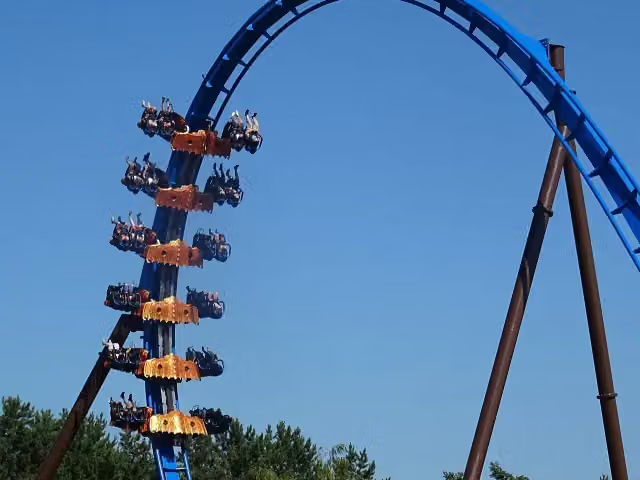 FēnixAttraction · 3.1 km from the route
- 2
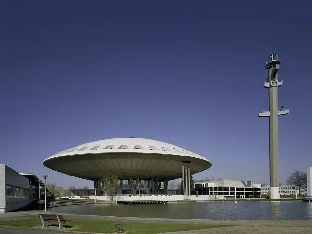 EvoluonAttraction · 6.6 km from the route
- 3
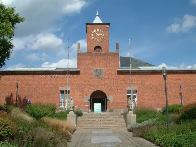 Van AbbemuseumMuseum · 7 km from the route
- 4
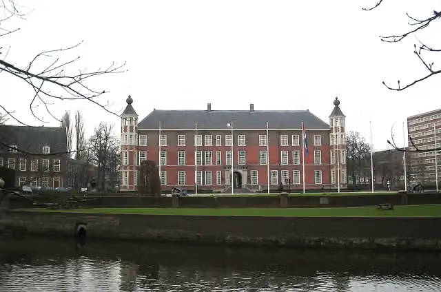 Kasteel van BredaCastle · 4.3 km from the route
- 5
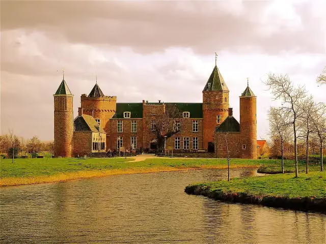 Westhove CastleCastle · 9.8 km from the route
- 6
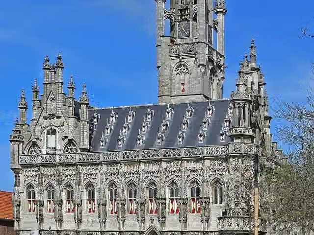 StadhuisAttraction · 455 m from the route
- 7
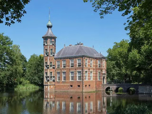 Kasteel BouvigneCastle · 1.2 km from the route
- 8
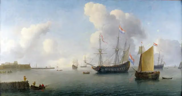 Fort RammekensAttraction · 1.7 km from the route
- 9
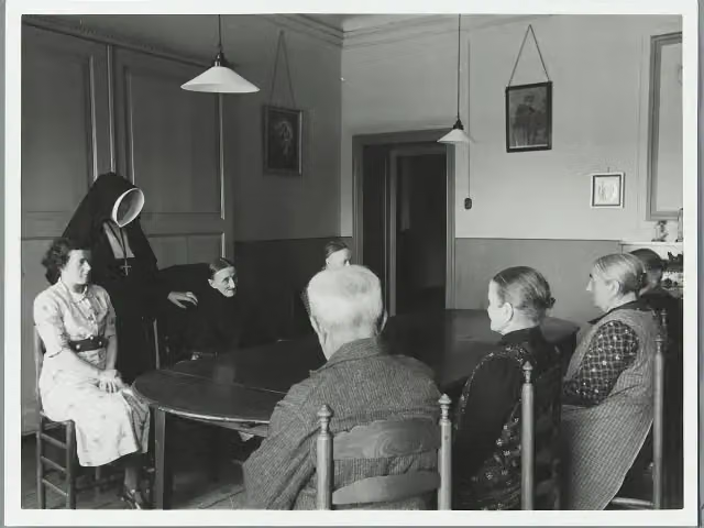 Kasteel CroyCastle · 3.8 km from the route
- 10
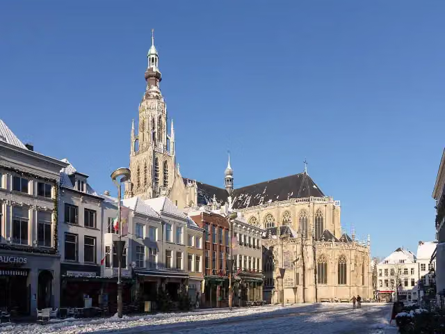 Grote KerkAttraction · 4.1 km from the route
- 11
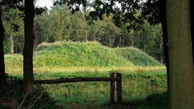 Fort De RoovereFort · 4.8 km from the route
- 12
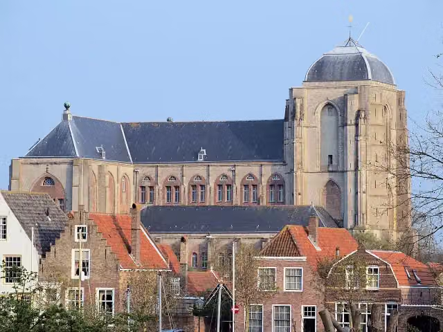 Grote KerkMuseum · 6.2 km from the route
- 13
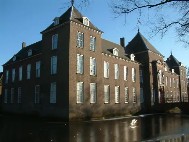 Kasteel HeezeCastle · 6.6 km from the route
- 14
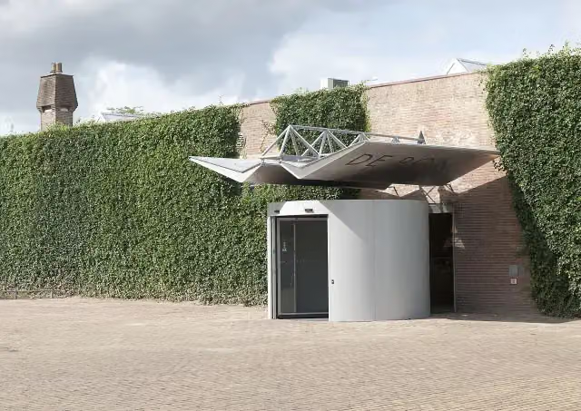 Museum De PontMuseum · 9.1 km from the route
- 15
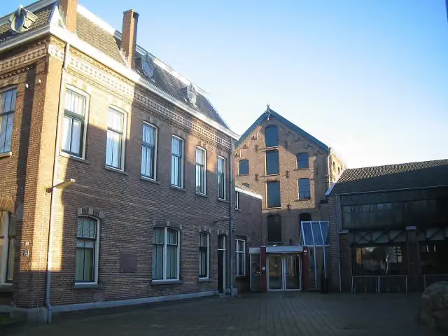 TextielmuseumMuseum · 9.4 km from the route
- 16
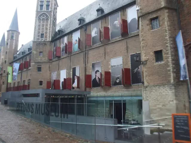 Zeeuws museumMuseum · 702 m from the route
- 17
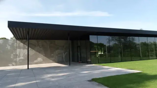 Maczek Memorial BredaMuseum · 4.1 km from the route
- 18
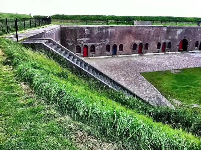 Fort EllewoutsdijkFort · 6.8 km from the route
- 19
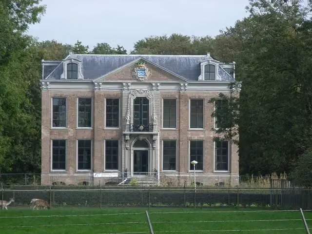 Huis der BoedeAttraction · 1.4 km from the route
- 20
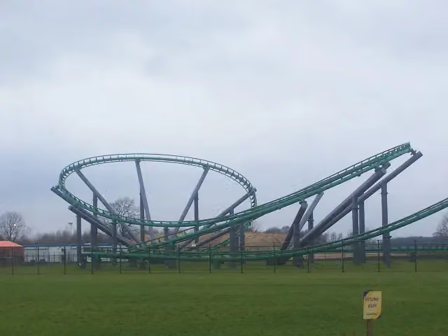 Booster BikeAttraction · 2.9 km from the route
- 21
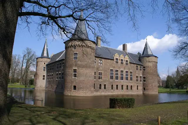 Kasteel van HelmondCastle · 3.7 km from the route
- 22
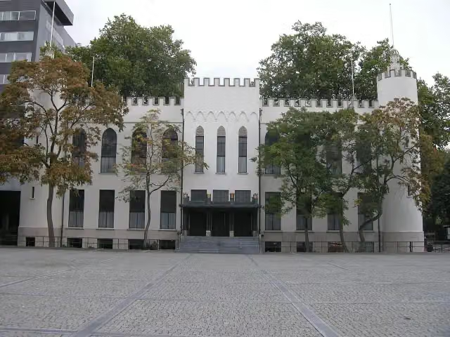 Paleis-RaadhuisCastle · 7.5 km from the route
- 23
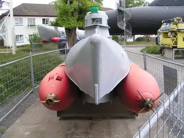 AttractionAttraction · 1 km from the route
- 24
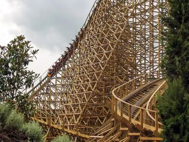 TroyAttraction · 2.7 km from the route
- 25
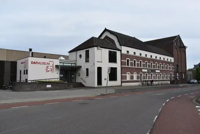 DAF MuseumMuseum · 6.3 km from the route
Explore more
Frequently asked questions
How long is EuroVelo 4 - Central Europe Route?
EuroVelo 4 - Central Europe Route is 328.5 km long. Allow ± 21:55 h of riding: 15 km an hour, without breaks.
Is this route a circular ride?
No, the route starts and ends at different spots.
Where does this route start?
The route starts in Sluis.
How hard is this route?
Hard, with 233 m of climbing.
Are there toilets along this route?
Yes, there are 19 public toilets within 100 m of the route.
Can you fill up with water along this route?
Yes, there are 11 water fountains and refill points within 100 m of the route.
What is there to see along this route?
Along the way you pass De Berckt, Limburgs Museum and Museum van Bommel van Dam.
Start place
More routes from this place
Route data © OpenStreetMap contributors





