 Outdoor Pitstop
Cycle route · Munich · Updated on 14 November 2026
München Augsburg Radweg cycle route
München Augsburg Radweg is a cycle route of 81.5 km from Munich. Along the way you'll find 924 benches, 12 water fountains and refill points, 23 public toilets and 4 bike pumps.
i
i
The route step by step
From start to finish, with what you pass along the way and the distance in between.
- 81.5 km
- ± 5:25 h
- ↑ 141 m · ↓ 167 m
- Hard
- From A to B
- Regional route
- Colour of the signs
Start in Munich
0 km165 m · 8 benches

Kriegerdenkmal and 1 more
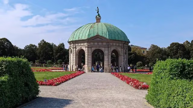
165 mDianatempel and public toilet
250 m · 36 benches
2 public toilets
163 m · 11 benches
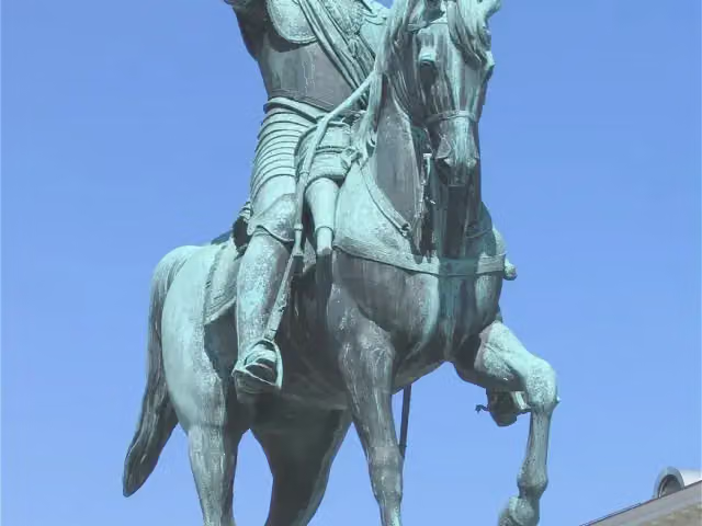
Maximilian, Kurfürst von Bayern and 1 more
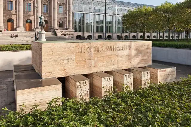
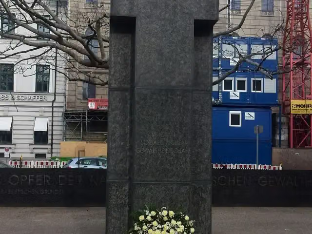
578 mDen Opfern der Nationalsozialistischen Gewaltherrschaft
544 m · 29 benches
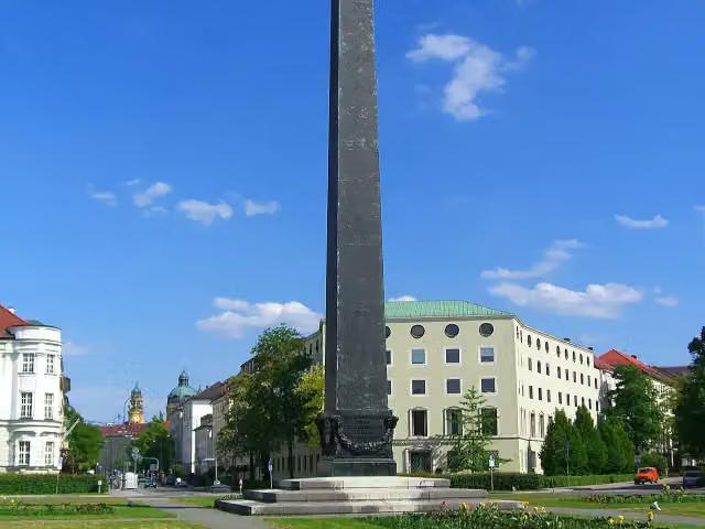
Karolinenplatz
1.1 kmMonument
155 m · 4 benches
NS-Dokumentationszentrum and 2 more
1.3 kmMuseum für Abgüsse klassischer Bildwerke and Staatliche Graphische Sammlung
185 m · 15 benches
Glyptothek and 3 more
1.5 kmStaatliche Antikensammlung, Propyläen and Lenbachhaus
163 m · 11 benches
Kunstbau
1.6 kmPublic toilet
2.6 km · 91 benches
2 water fountains and refill points
4.2 km392 m · 37 benches
Winthirsäule
4.6 kmMemorial
495 m · 38 benches
Water point
5.1 km621 m · 58 benches
3 public toilets and water point
5.7 km633 m · 86 benches
Public toilet
6.4 km5.1 km · 71 benches
Death march KZ Dachau and 2 more
11.4 kmSchloss Blutenburg, Agnes Bernauer und Herzog Albrecht III. and public toilet
7.8 km · 51 benches
Bike pump
19.3 km609 m · 15 benches
Bike pump
19.9 km350 m · 5 benches
2 bike pumps
20.2 km1.7 km · 8 benches
Public toilet
21.9 km363 m · 6 benches
Public toilet
22.3 km9.8 km · 78 benches
Public toilet
32.1 km602 m · 6 benches
Water point
32.7 km3 km · 6 benches
Water point
35.7 km5.8 km
Public toilet
41.5 km273 m
3 public toilets
41.8 km161 m
Public toilet
41.9 km6.6 km · 7 benches
Water point
48.6 km27.9 km · 69 benches
Public toilet
76.5 km161 m · bench
Augsburger Kanumuseum and 1 more
76.6 kmWasserwerk am Hochablass and water point
1.8 km · 26 benches
3 public toilets
78.5 km253 m · 17 benches
Public toilet
78.7 km
Show the other 5 steps
291 m · 12 benches
2 water fountains and refill points
79 km1.4 km · 29 benches
Historic water towers and 2 more
80.4 kmSchwäbisches Handwerkermuseum, Augsburger Puppentheatermuseum "die Kiste" and water point
333 m · 28 benches
Godehardskapelle and 2 more
80.8 kmBasilika St. Ulrich und Afra, Heilige Barbara and water point
493 m · 25 benches
Schaezlerpalais
81.3 kmPublic toilet
236 m · 40 benches
Finish
81.5 kmAt the finish: Weberhaus.
Longest stretch without a toilet: 34.5 kmBetween 41.9 km and 76.5 km there is no public toilet within 100 m of the route.
The route with the pitstops and sights within 100 m of it.
28 sights along the way
In the order you pass them. With the Outdoor Pitstop app you hear their story on the spot. 20 more along the route are on the map.
i
Photo: Julian Herzog (Website) · Wikimedia Commons · CC BY 4.0View the photo on Wikimedia CommonsMemorial · after 165 m
i
Photo: Burkhard Mücke · Wikimedia Commons · CC BY-SA 4.0View the photo on Wikimedia CommonsAttraction · after 288 m
- Audio story · 2 min
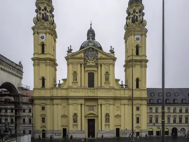
Theatinerkirche St. Kajetan
Attraction · after 500 m
i
Photo: Rufus46 · Wikimedia Commons · CC BY-SA 3.0View the photo on Wikimedia CommonsMemorial · after 578 m
i
Photo: Sharkmark (Diskussion) · Wikimedia Commons · CC BY-SA 3.0 deView the photo on Wikimedia CommonsMemorial · after 704 m
i
Photo: Martin Dosch · Wikimedia Commons · CC BY-SA 3.0View the photo on Wikimedia CommonsMonument · after 1.1 km
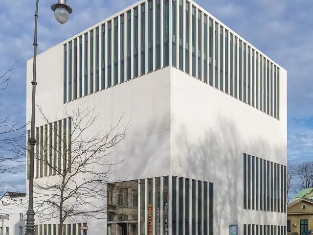
NS-Dokumentationszentrum
Museum · after 1.3 km
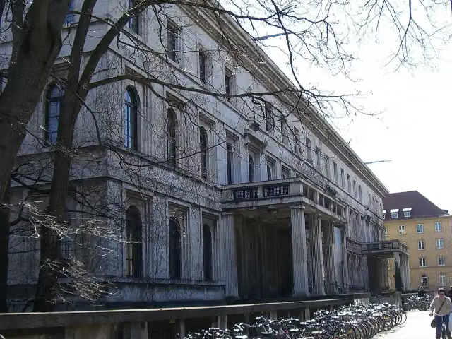
i
Photo: Maximilian Dörrbecker (Chumwa) · Wikimedia Commons · CC BY-SA 3.0View the photo on Wikimedia CommonsMuseum · after 1.3 km
Elevation and terrain
- Up
- ↑ 141 m
- Down
- ↓ 167 m
- Highest point
- 557 m
- Lowest point
- 486 m
Nowhere steeper than 5%.
Elevation from Copernicus GLO-30 (European Union and ESA), smoothed.
produced using Copernicus WorldDEM-30 © DLR e.V. 2010-2014 and © Airbus Defence and Space GmbH 2014-2018 provided under COPERNICUS by the European Union and ESA; all rights reserved
Way types
81.5 km in total- Track: 20.5 km
- Street: 20.2 km
- Road: 19.2 km
- Path: 17.6 km
- Footpath (walk your bike): 2.1 km
- Busy road: 1.5 km
- Cycle path: 275 m
Surfaces
81.5 km in total- Asphalt: 65.2 km
- Gravel: 10.9 km
- Paved: 3.4 km
- Unknown: 1.8 km
About the cycle route München Augsburg Radweg
Updated on 14 November 2026, with data from OpenStreetMap, the AHN and Copernicus.
Where do you cycle?
München Augsburg Radweg is a cycle route of 81.5 km that starts in Munich. It does not end where it starts. You start in München and finish in Augsburg. Along the way you pass Kriegerdenkmal (after 165 m), Dianatempel (after 288 m) and Theatinerkirche St. Kajetan (after 500 m).
How hard is the route?
You climb 141 m in total and descend 167 m. Allow ± 5:25 h, without breaks. The level is hard.
What roads do you cycle on?
The longest part is track (20.5 km), street (20.2 km) and road (19.2 km). Of the surface, 65.2 km asphalt and 10.9 km gravel. For 1.8 km the surface is not known.
Pitstops along the way
Within 100 metres of the route there are 924 benches, 12 water fountains and refill points, 23 public toilets and 4 bike pumps. The longest stretch without a toilet is 34.5 km. The Outdoor Pitstop app navigates you there.
Cycle routes nearby
6- Kunstschleife - Wasser-Radlwege Oberbayern - Abschnitt 4Moderate · From A to B55.3 km
- Hopfenschleife - Wasser-Radlwege Oberbayern - Abschnitt 1Hard · From A to B72.8 km
- Hopfenschleife - Wasser-Radlwege Oberbayern - Abschnitt 4Moderate · From A to B39.6 km
- Mangfall-RadwegHard · From A to B65.6 km
- Kunstschleife - Wasser-Radlwege Oberbayern - Abschnitt 1Easy · From A to B6.8 km
- Ammersee-RadwegHard · From A to B96.4 km
Sights nearby
Within 10 km of the route, best known first.
- 1
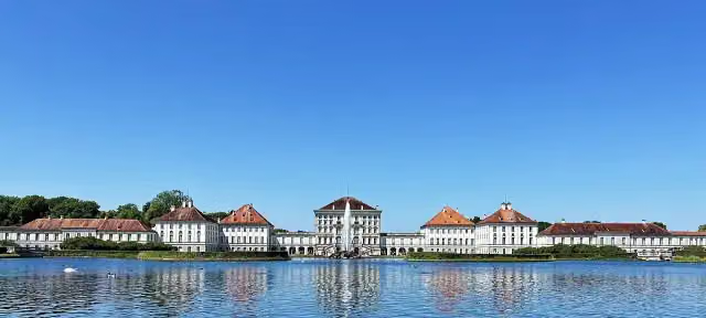 Nymphenburg PalaceAttraction · 1.2 km from the route
- 2
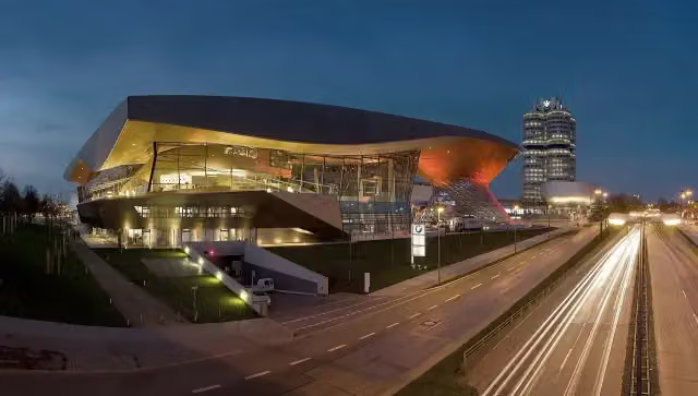 BMW WeltMuseum · 3.2 km from the route
- 3
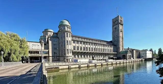 German MuseumMuseum · 1.3 km from the route
- 4
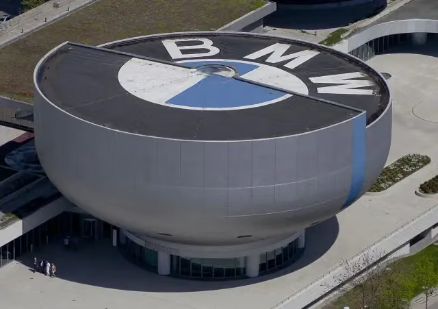 BMW MuseumMuseum · 3.2 km from the route
- 5
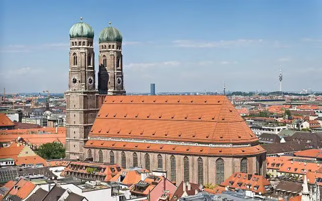 FrauenkircheAttraction · 524 m from the route
- 6
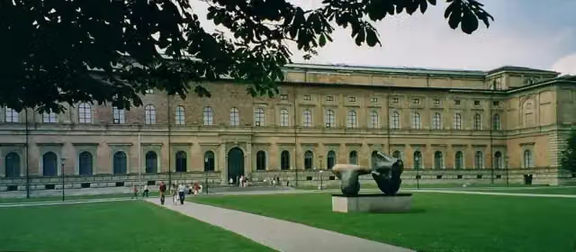 Alte PinakothekMuseum · 355 m from the route
- 7
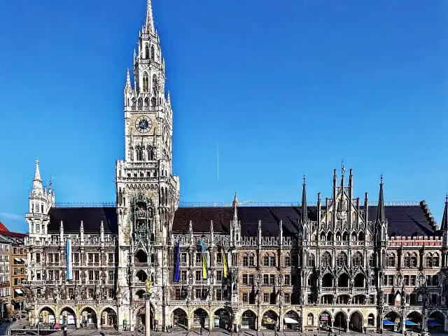 New Town HallAttraction · 535 m from the route
- 8
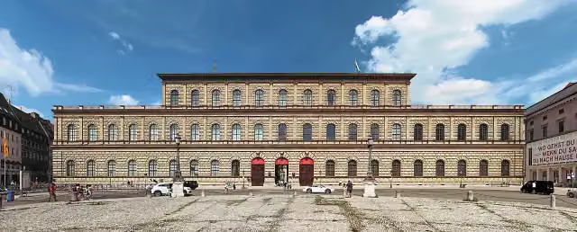 ResidenzAttraction · 103 m from the route
- 9
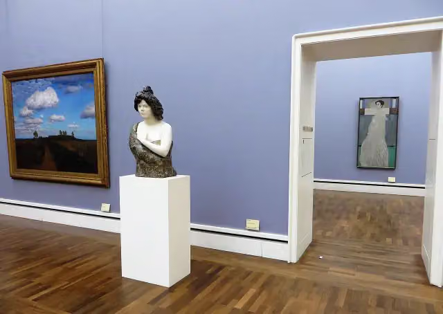 Neue PinakothekMuseum · 554 m from the route
- 10
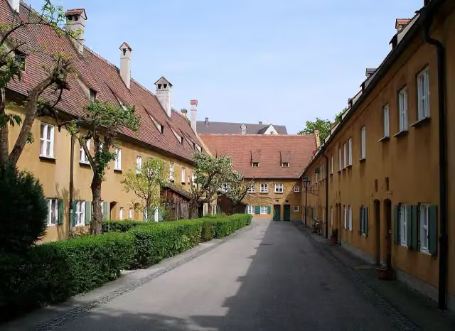 FuggereiAttraction · 455 m from the route
- 11
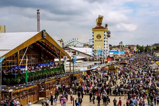 OktoberfestAttraction · 1.8 km from the route
- 12
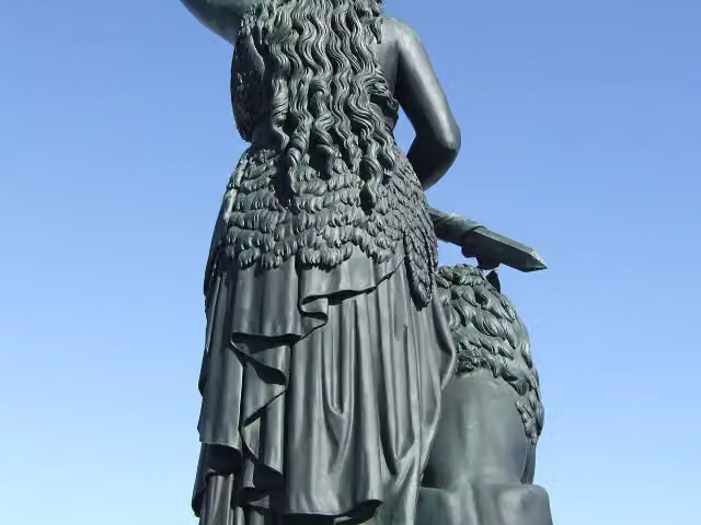 BavariaAttraction · 1.9 km from the route
- 13
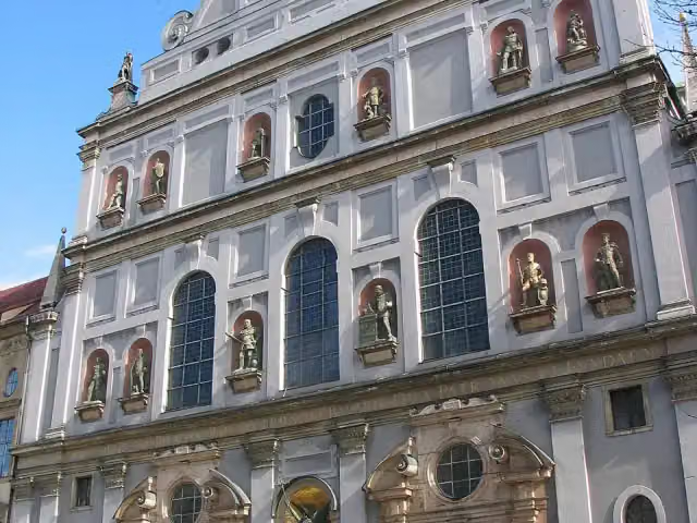 St. Michael's ChurchAttraction · 582 m from the route
- 14
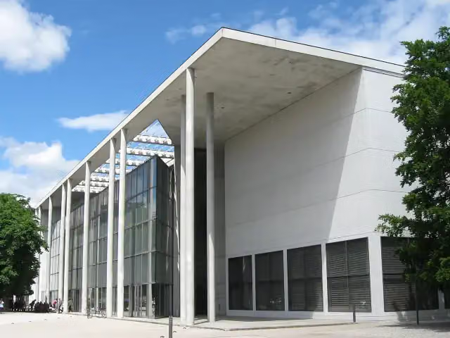 Pinakothek der ModerneMuseum · 308 m from the route
- 15
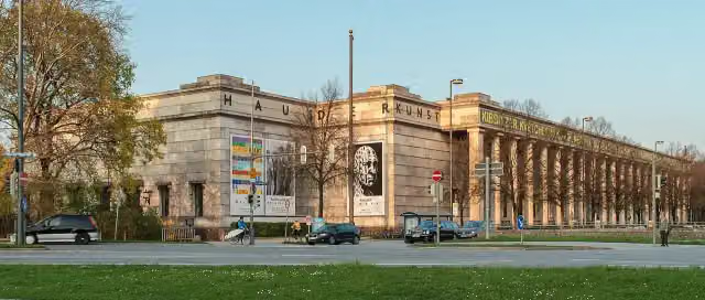 Haus der KunstMuseum · 415 m from the route
- 16
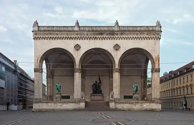 FeldherrnhalleAttraction · 99 m from the route
- 17
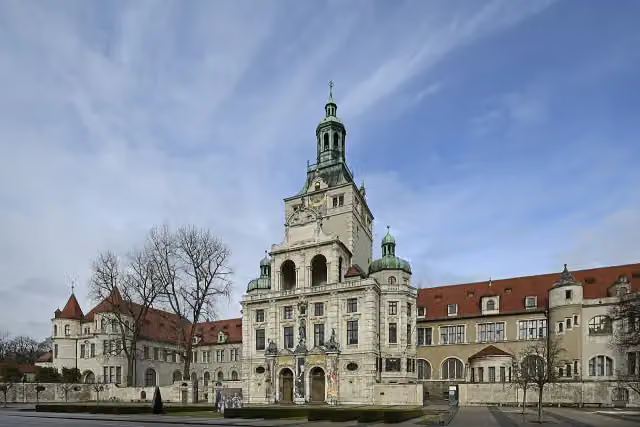 Bavarian National MuseumMuseum · 672 m from the route
- 18
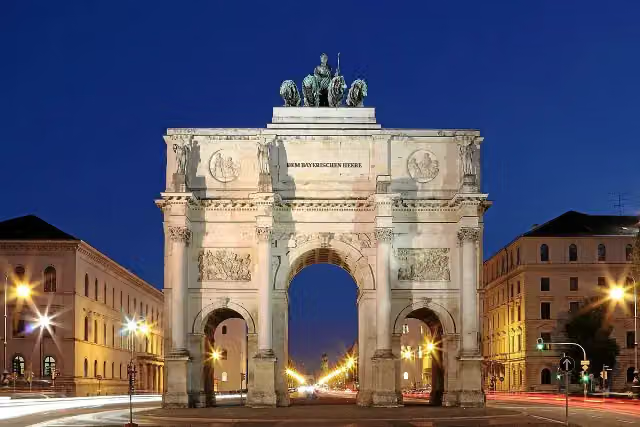 SiegestorAttraction · 1.1 km from the route
- 19
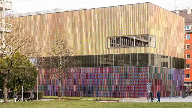 Museum BrandhorstMuseum · 461 m from the route
- 20
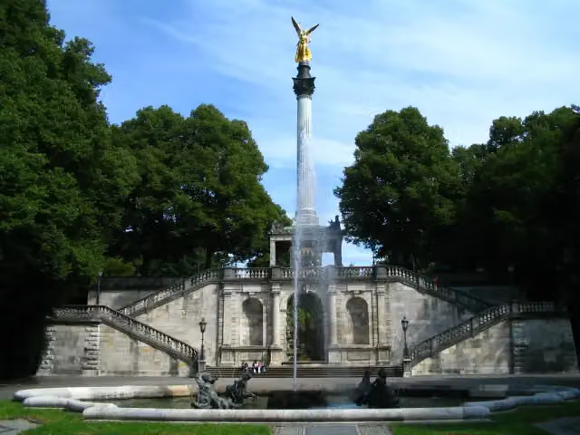 FriedensengelAttraction · 1.1 km from the route
- 21
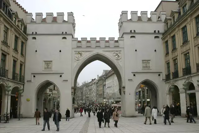 KarlstorAttraction · 685 m from the route
- 22
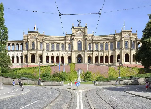 MaximilianeumAttraction · 1 km from the route
- 23
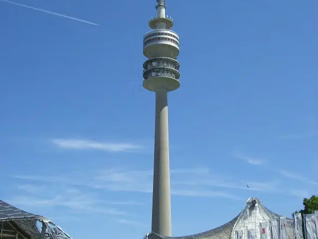 Olympic TowerAttraction · 2.8 km from the route
- 24
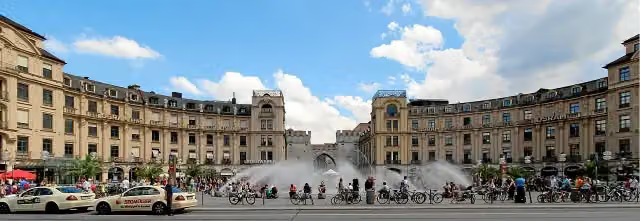 Karlsplatz (Stachus)Attraction · 687 m from the route
- 25
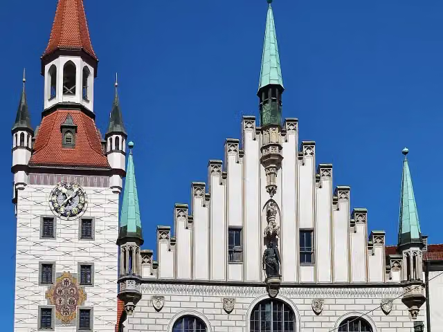 Old Town HallAttraction · 601 m from the route
Explore more
Frequently asked questions
How long is München Augsburg Radweg?
München Augsburg Radweg is 81.5 km long. Allow ± 5:25 h of riding: 15 km an hour, without breaks.
Is this route a circular ride?
No, the route runs from München to Augsburg.
Where does this route start?
The route starts in Munich.
How hard is this route?
Hard, with 141 m of climbing.
Are there toilets along this route?
Yes, there are 23 public toilets within 100 m of the route. The longest stretch without a toilet is 34.5 km.
Can you fill up with water along this route?
Yes, there are 12 water fountains and refill points within 100 m of the route.
What is there to see along this route?
Along the way you pass Kriegerdenkmal, Dianatempel and Theatinerkirche St. Kajetan.
Can I download this route as a GPX file?
Yes. Sign in with your Outdoor Pitstop account and choose Download GPX at the top of this page: 10 routes a month for free, unlimited with Pro.
Starting point
More routes from this place
Route data © OpenStreetMap contributors





