 Outdoor Pitstop
Walks near Haarlem
1-12 of 37+ walks
Within 10 km of Haarlem, nearest first.
Sort: Nearest first
- 1
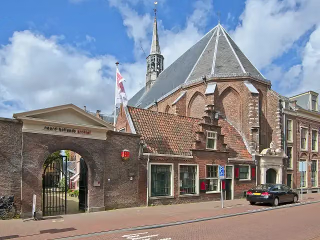
Nederlands Kustpad deel 2 - 05
Dutch Coastal Trail part 2 - 5
21.4 km · From A to B
± 4:50 hHard
63benches and picnic tables8public toilets6water fountains and refill points
- 2
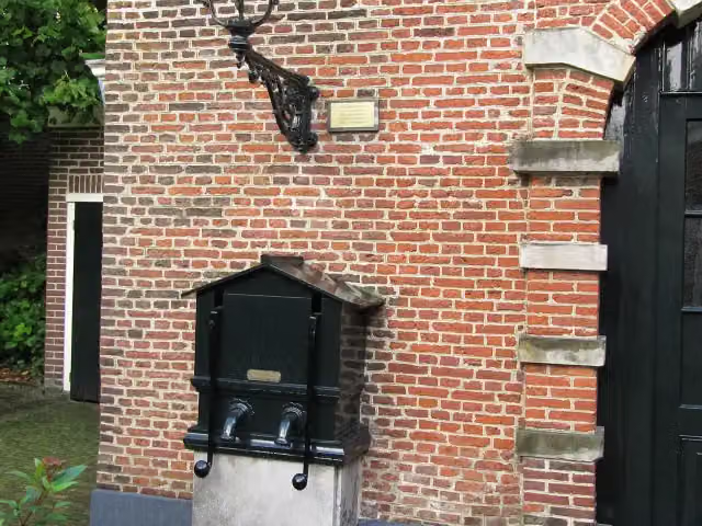
Teylers Ommetje
Teylers circular walk
4 km · Circular walk
± 55 minEasy
62benches and picnic tables6public toilets1water point
- 3
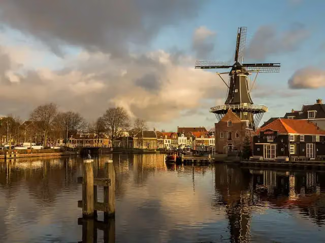
Spaarneroute
14.2 km · Circular walk
± 3:10 hModerate
90benches and picnic tables3public toilets3water fountains and refill points
- 4
Drostewandeling
Drost Walk
5.3 km · Circular walk
± 1:10 hEasy
60benches and picnic tables3public toilets1water point
- 5
- 6
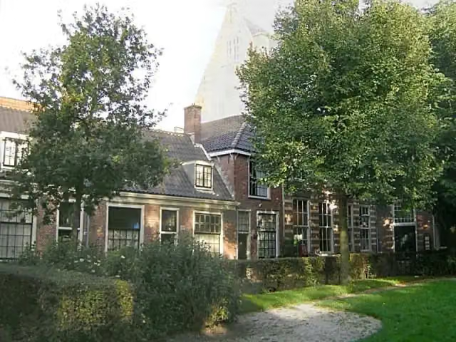
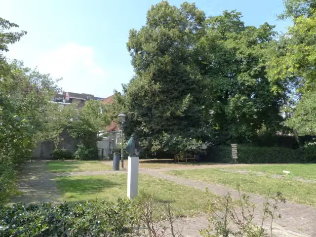
Van Bavo tot Bavo
From Bavo to Bavo
3.8 km · Circular walk
± 50 minEasy
25benches and picnic tables1public toilet0water fountains and refill points
- 7
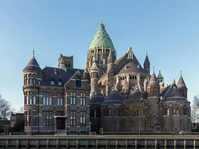
Duinvlietroute
10.9 km · Circular walk
± 2:25 hModerate
49benches and picnic tables1public toilet0water fountains and refill points
- 8
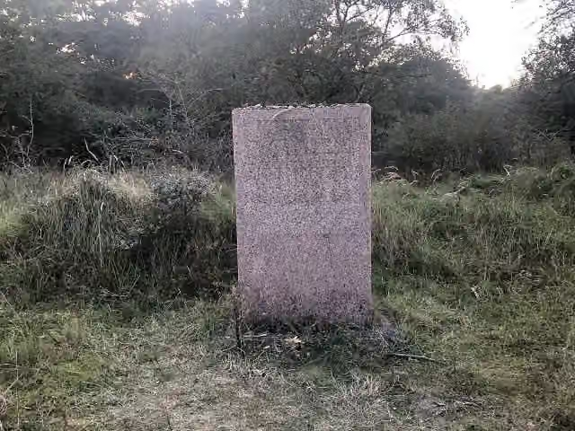
Nederlands Kustpad deel 2 - 06
Dutch Coastal Trail part 2 - 6
17.7 km · From A to B
± 4:05 hModerate
81benches and picnic tables2public toilets6water fountains and refill points
- 9
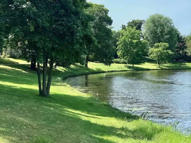
WNW Noord-Holland verbindingsroute 08-18
Noord-Holland walking network link route 08-18
2 km · From A to B
± 25 minEasy
16benches and picnic tables0public toilets1water point
- 10
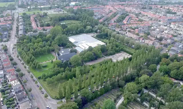
WNW Noord-Holland verbindingsroute 38-80
Noord-Holland walking network link route 38-80
1.1 km · From A to B
± 15 minEasy
6benches and picnic tables0public toilets0water fountains and refill points
- 11
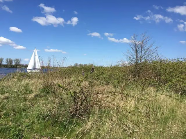
Belvedèretour
5 km · Circular walk
± 1:10 hEasy
24benches and picnic tables0public toilets0water fountains and refill points
- 12
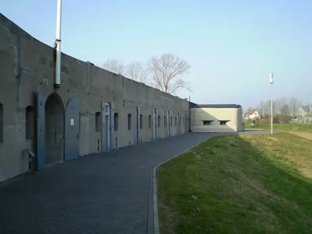
Waterliniepad - 05
Water Line Trail - 5
12 km · From A to B
± 2:40 hModerate
34benches and picnic tables3public toilets1water point
Walks per province and place
Per province the places with the most routes. The province itself has them all.
North Holland
687 routes ›- Amsterdam104 ›
- Haarlemmermeer59 ›
- Gooise Meren54 ›
- Hilversum51 ›
- Medemblik42 ›
- Bloemendaal40 ›
- Haarlem27 ›
Frisia
117 routes ›- Súdwest-Fryslân30 ›
- Noardeast-Fryslân25 ›
- Tytsjerksteradiel17 ›
- Leeuwarden15 ›
- Weststellingwerf14 ›
- De Fryske Marren13 ›





