 Outdoor Pitstop
Walks near Zundert
1-12 of 12 walks
Within 10 km of Zundert, nearest first.
Sort: Nearest first
- 1
Rondelenroute, witte route
Rondelen Route, white route
2.6 km · Circular walk
± 35 minEasy
0benches and picnic tables0public toilets0water fountains and refill points
- 2
Grenslandpad - 09
Borderland Trail - 9
20.1 km · From A to B
± 4:30 hHard
13benches and picnic tables0public toilets0water fountains and refill points
- 3
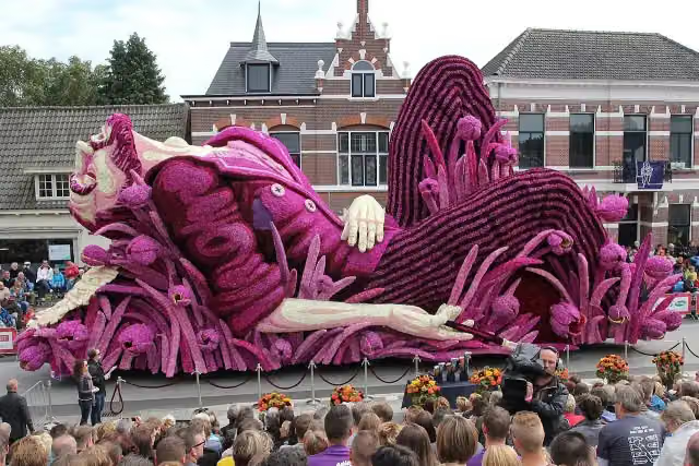
Via Tenera
31.6 km · From A to B
± 7:00 hHard
71benches and picnic tables2public toilets3water fountains and refill points
- 4
Via Brabantica, Breda - Kapellen
31.6 km · From A to B
± 7:00 hHard
71benches and picnic tables2public toilets3water fountains and refill points
- 5
Grenslandpad - 10
Borderland Trail - 10
18.9 km · From A to B
± 4:15 hModerate
20benches and picnic tables0public toilets1water point
- 6
Grenslandpad - 08
Borderland Trail - 8
16.3 km · From A to B
± 3:35 hModerate
11benches and picnic tables0public toilets2water fountains and refill points
- 7
Bruin
Brown
2.6 km · Circular walk
± 35 minEasy
2benches and picnic tables0public toilets0water fountains and refill points
- 8
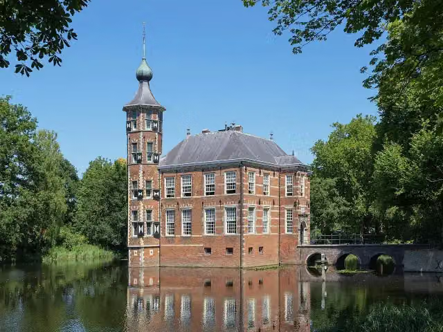
Oranje-Nassaupad etappe 6: Breda-Ulvenhout
Orange-Nassau Trail stage 6: Breda-Ulvenhout
18.2 km · From A to B
± 4:05 hModerate
114benches and picnic tables4public toilets5water fountains and refill points
- 9
Bruynleegtpad
Bruynleegt Trail
2.3 km · From A to B
± 30 minEasy
2benches and picnic tables0public toilets0water fountains and refill points
- 10
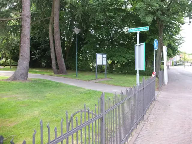
Oranje-Nassaupad etappe 7: Ulvenhout-Chaam
Orange-Nassau Trail stage 7: Ulvenhout-Chaam
16.9 km · From A to B
± 3:45 hModerate
35benches and picnic tables0public toilets0water fountains and refill points
- 11
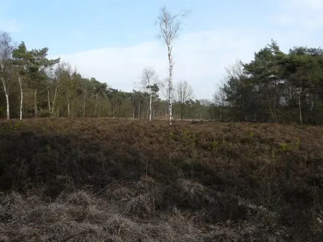
SBB Rondwandeling (rood)
SBB circular walk (red)
3.2 km · Circular walk
± 40 minEasy
6benches and picnic tables0public toilets0water fountains and refill points
- 12
SBB Rondwandeling (blauw)
SBB circular walk (blue)
4.3 km · Circular walk
± 1:00 hEasy
8benches and picnic tables0public toilets0water fountains and refill points
Walks per province and place
Per province the places with the most routes. The province itself has them all.
Frisia
117 routes ›- Súdwest-Fryslân30 ›
- Noardeast-Fryslân25 ›
- Tytsjerksteradiel17 ›
- Leeuwarden15 ›
- Weststellingwerf14 ›
- De Fryske Marren13 ›





